Taking a day off today, I headed southward, starting off with a hike at
Perkins Farm, where the path I took here from behind the
Stop N Shop at 949 Grafton Street is shown below in pink.
Nothing of significance here, although it was a decent walk in the woods.
From here, I headed to
Cookson Park in town for my next hike, where the path I took from the southern entrance on Clay Street is shown below in pink.
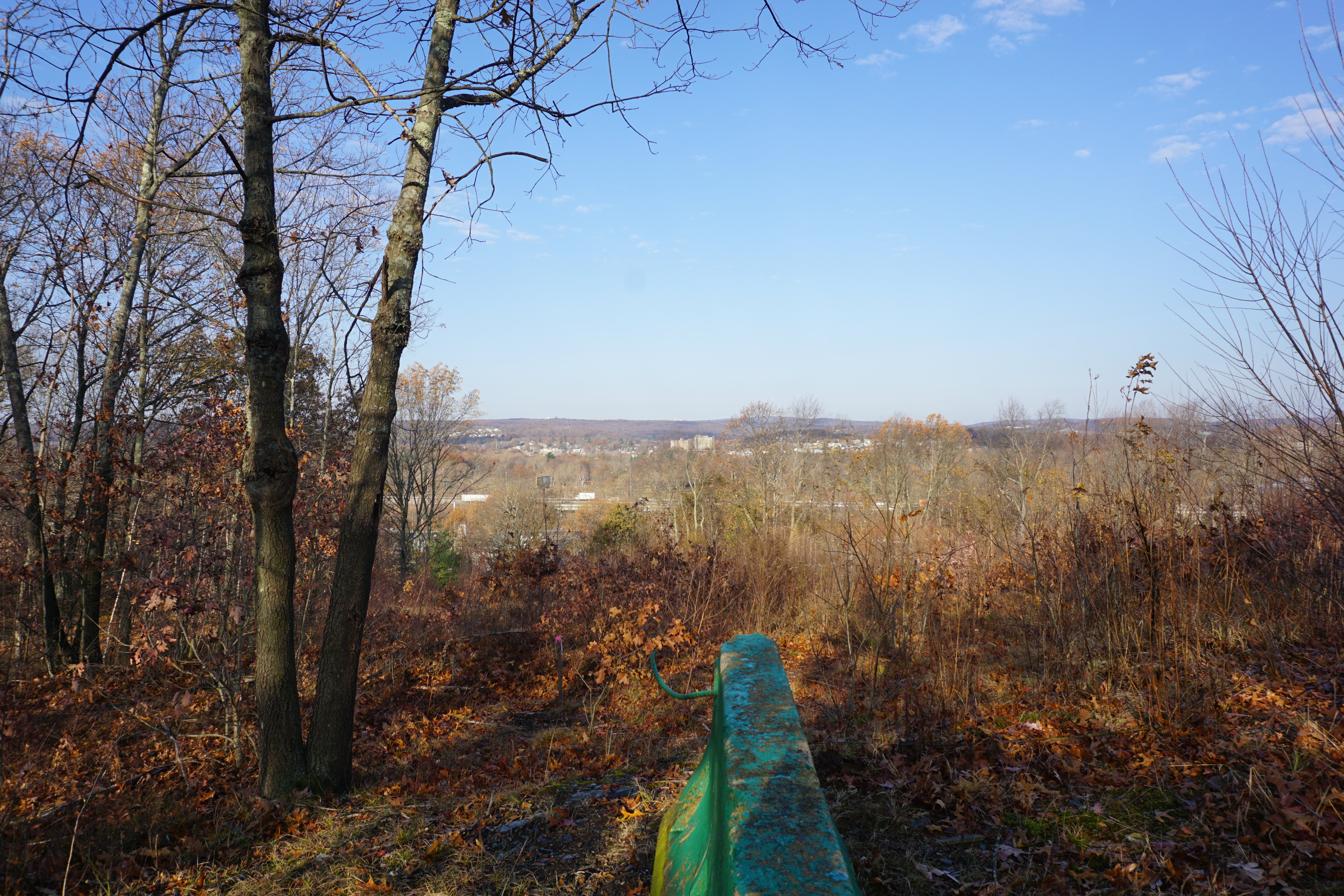
The view from the northern gate was pretty good,
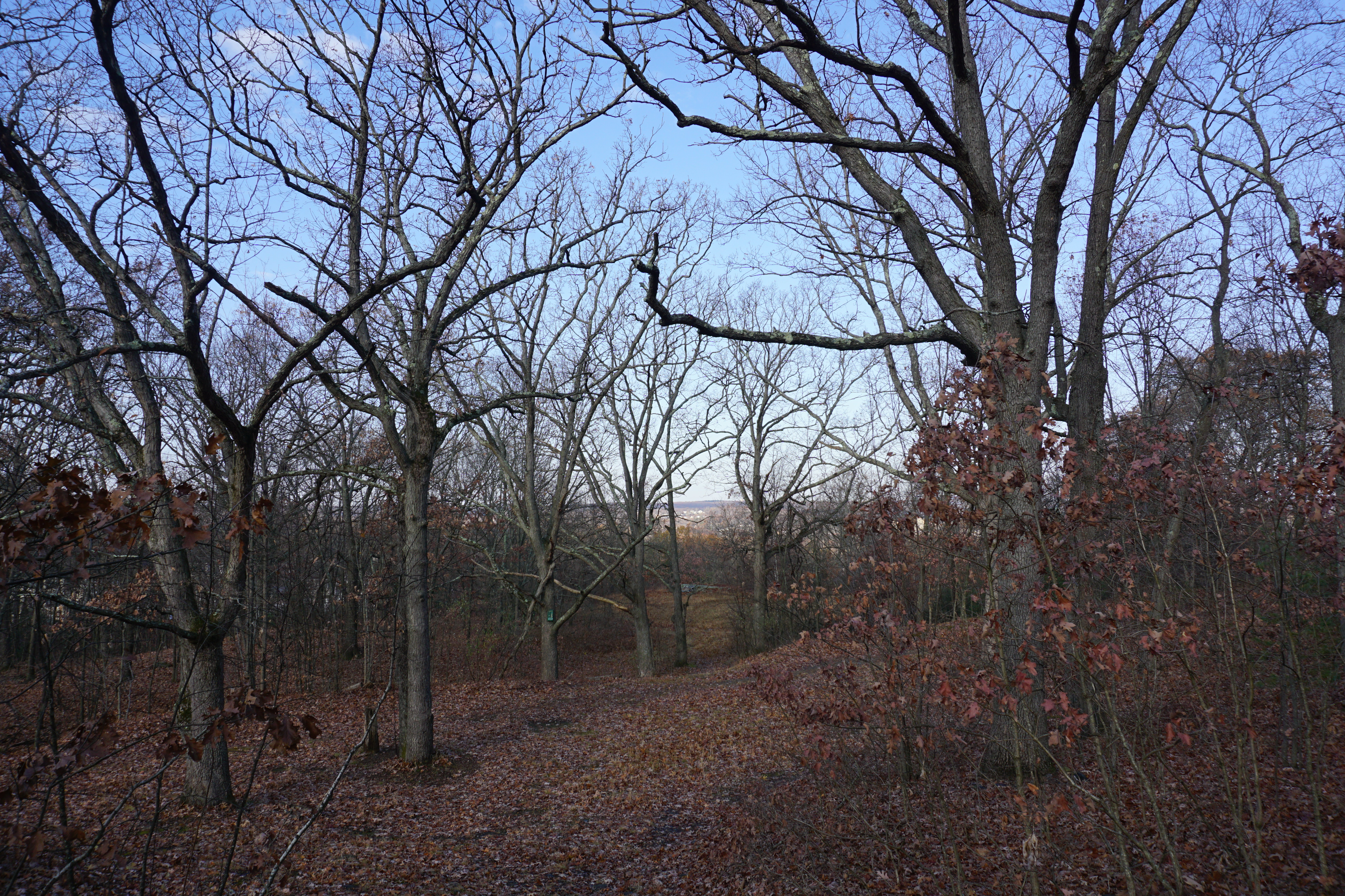
although all I could find at the second supposed viewpoint was a partial view through the trees.
Definitely better than Perkins Farm though.
From here, it was on to my third hike in town, at
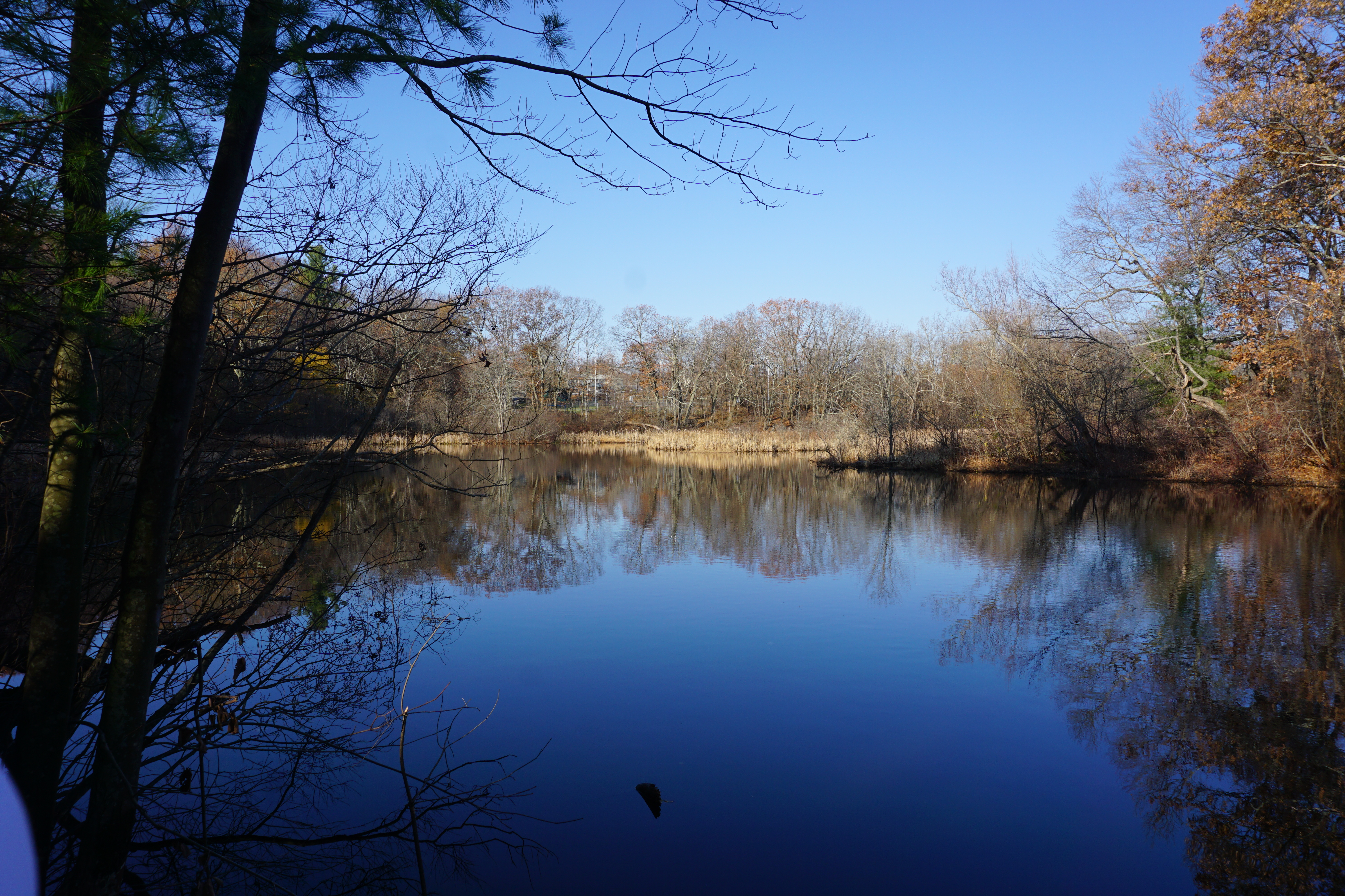
Hadwen Park. The path I took here to get to Curtis Pond is shown below in pink.
The path to get a good view of the pond was really steep though.
Because of that, I won't recommend this place.
My next hike was in the town of Dudley, at the
Slater Woods area. The path I took here to get to Peters Pond is shown below in pink.
I took a slight detour to see the first water body, which wasn't much.
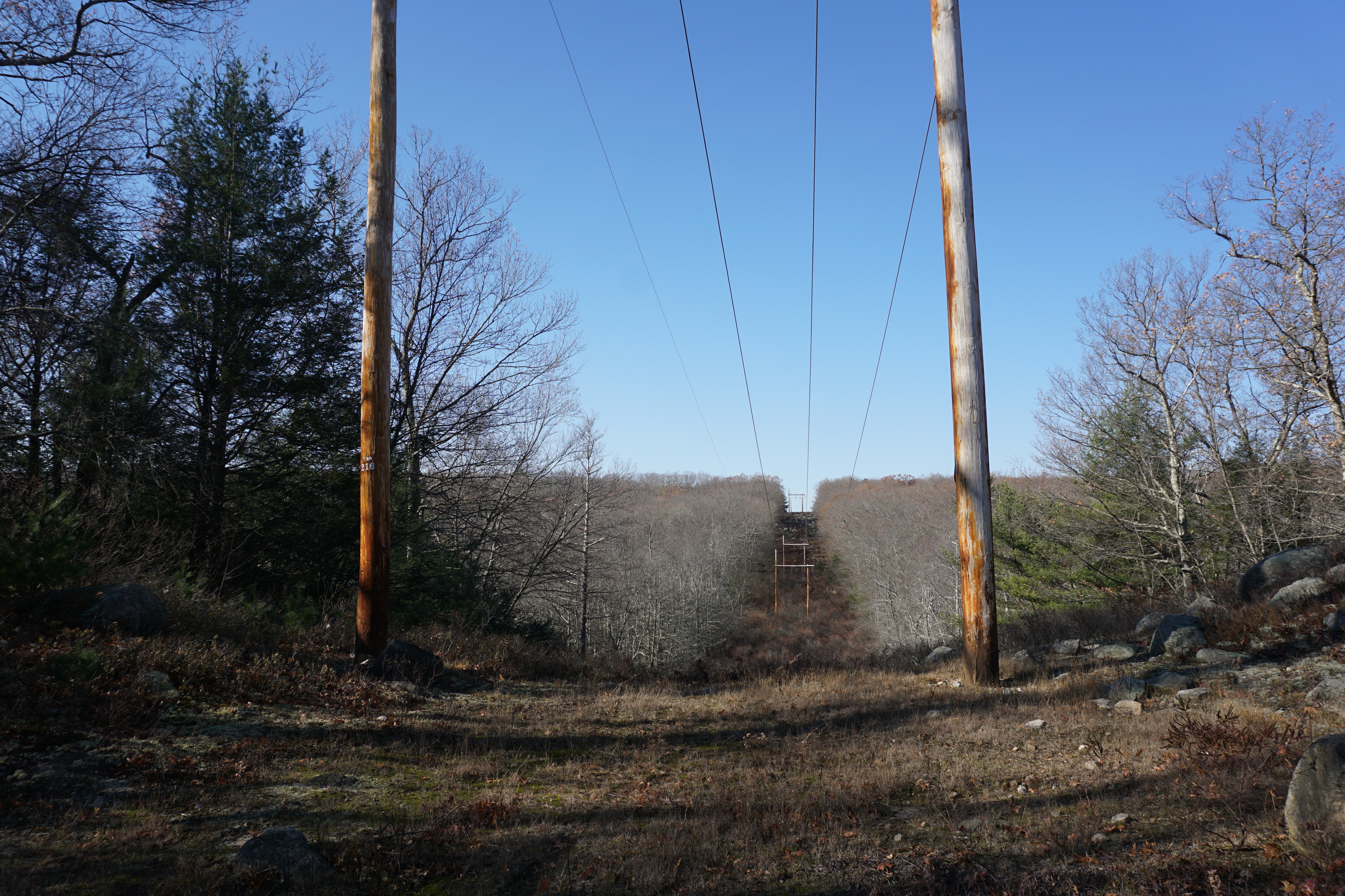
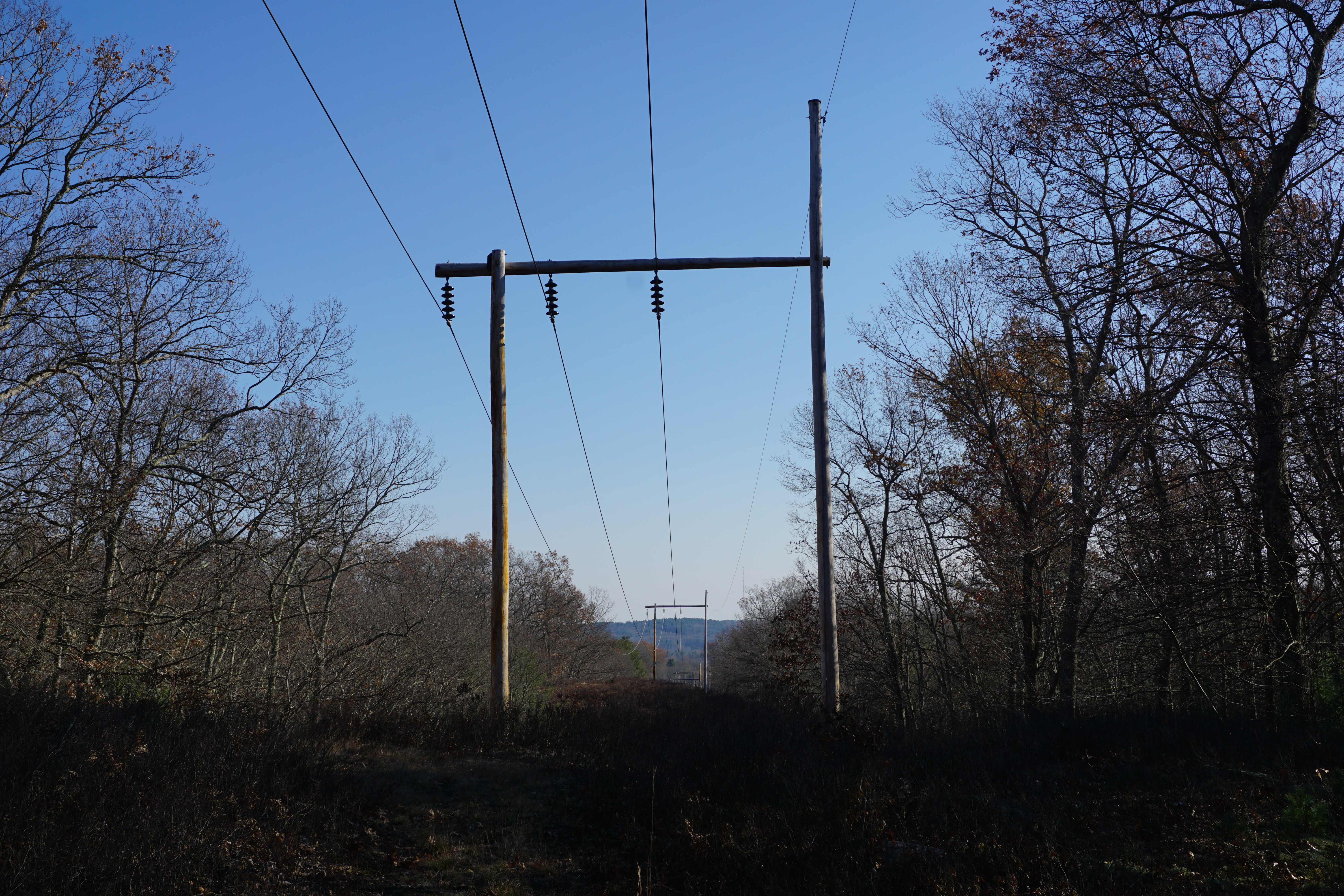
The path to the pond was starting to get a little overgrown, only becoming better when I reached the Hiland Park area, only thanks to the blue blazes along the way, with opportunistic deer ticks climbing up my jeans at one point. The views from the powerlines were just okay,
and that of Peter Pond weren't that great either.
To think I walked all that way for not much. Not coming back again.
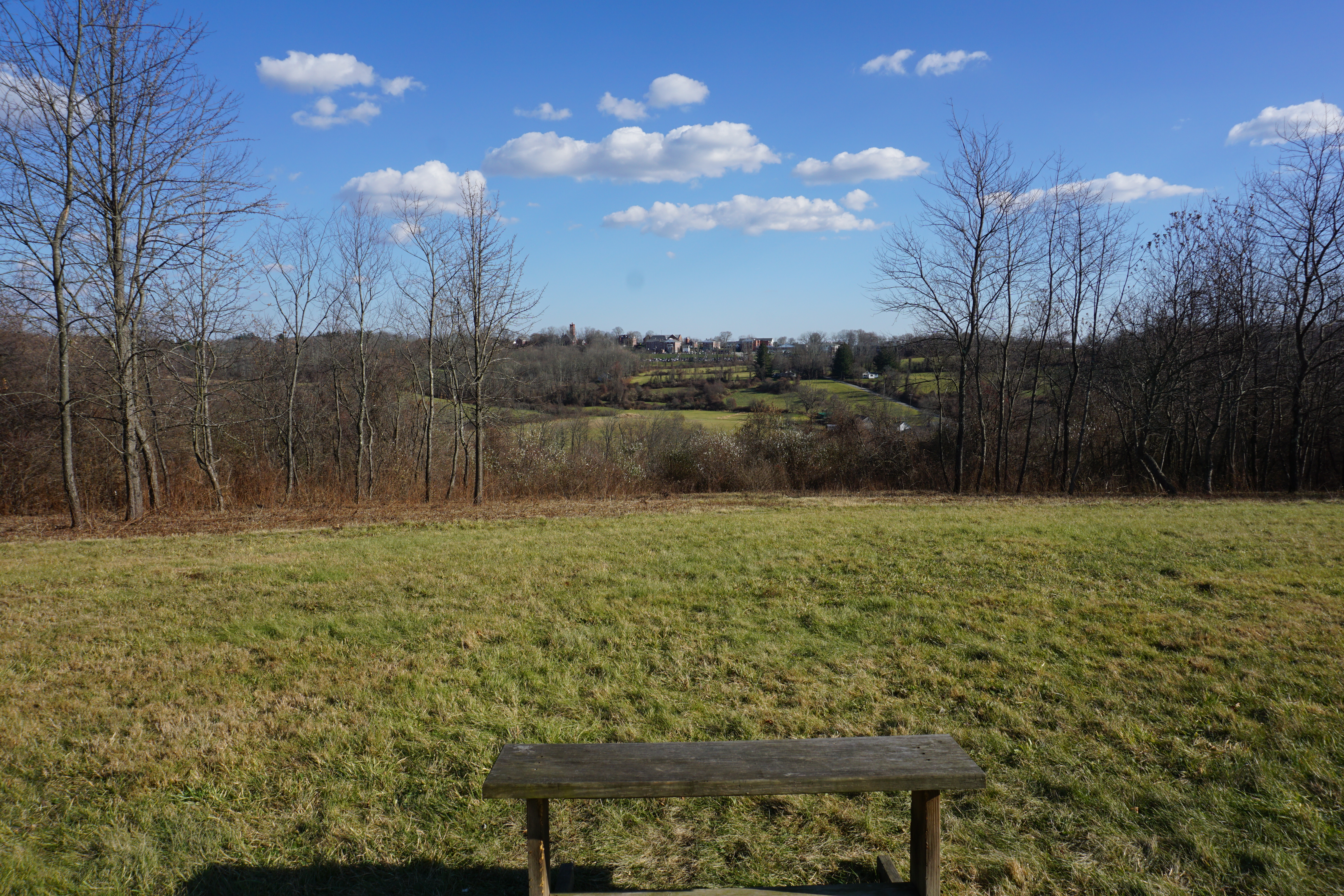
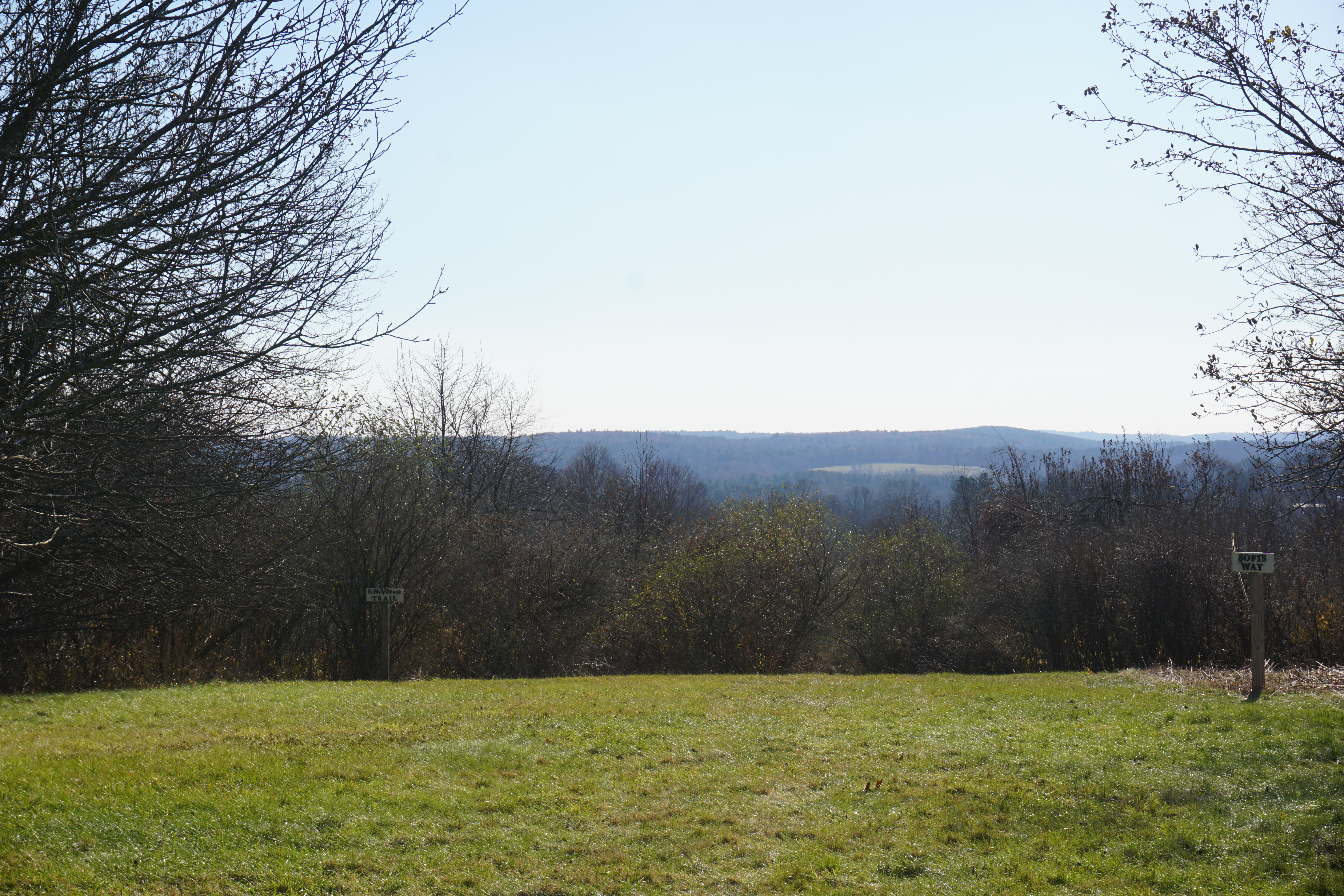
The walk to the top of the knoll was short, but the reward was huge with great views from the meadow there.
My final hike in Dudley was at the
Wieloch Woods. The path I took here is shown below in pink.
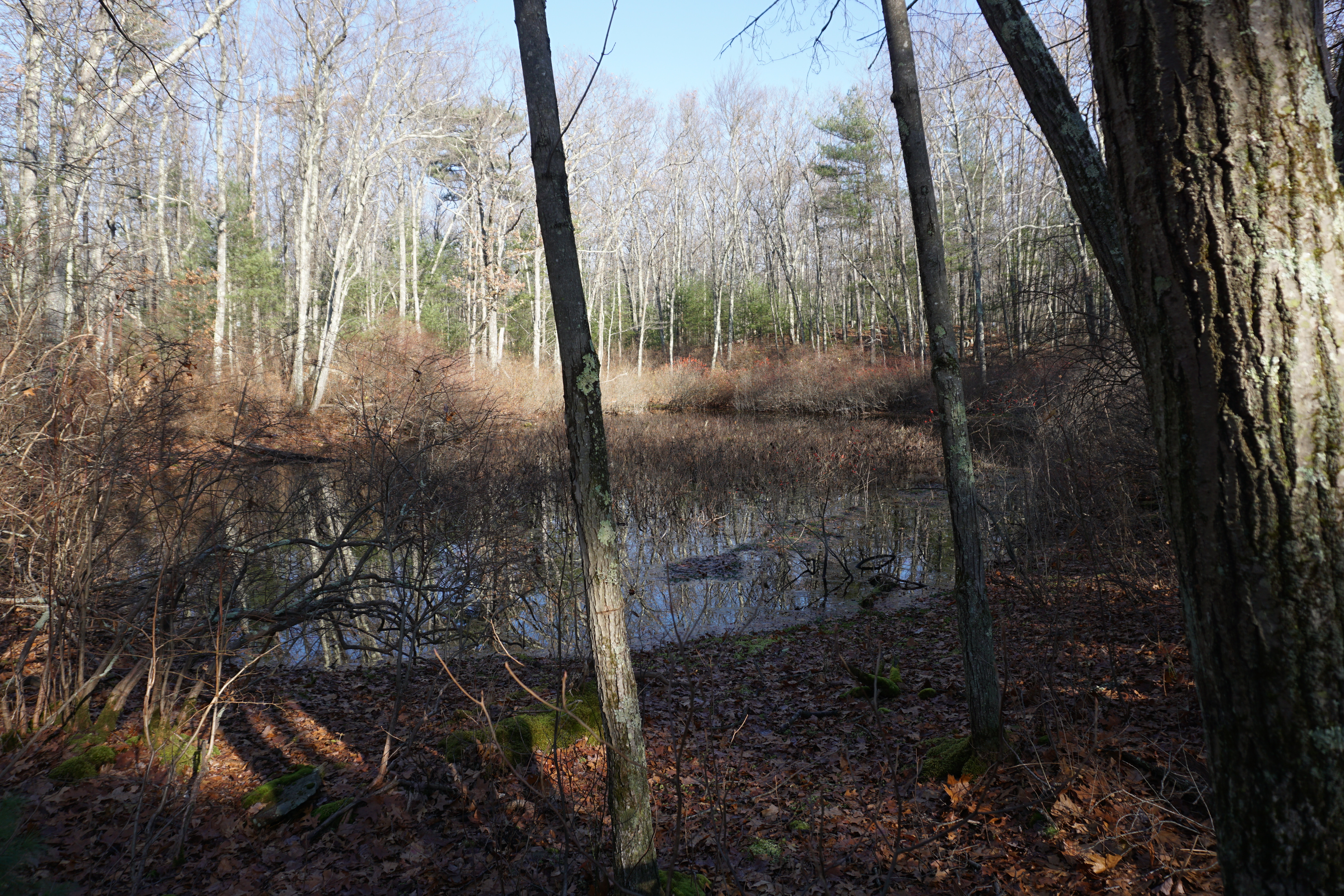
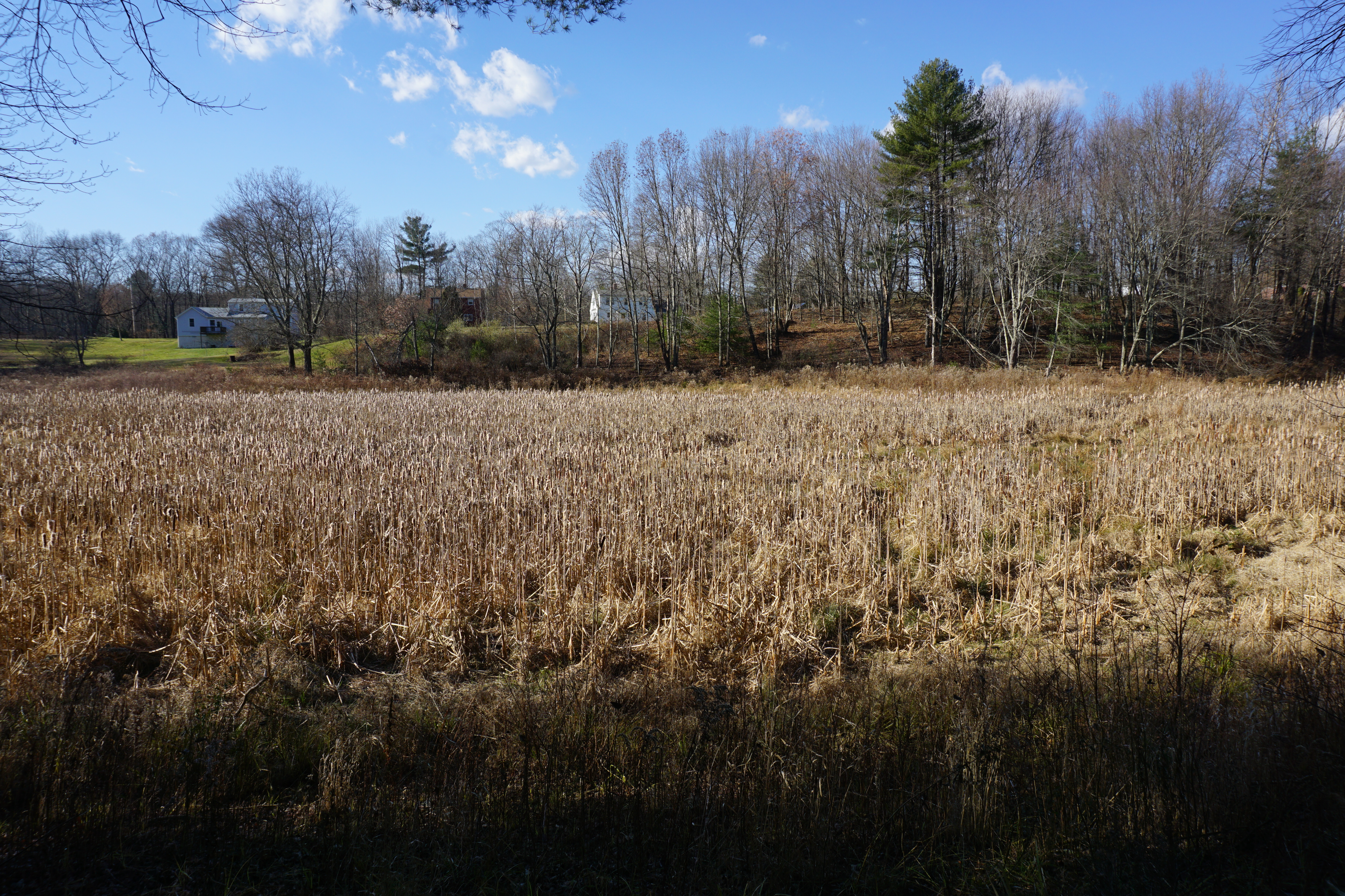
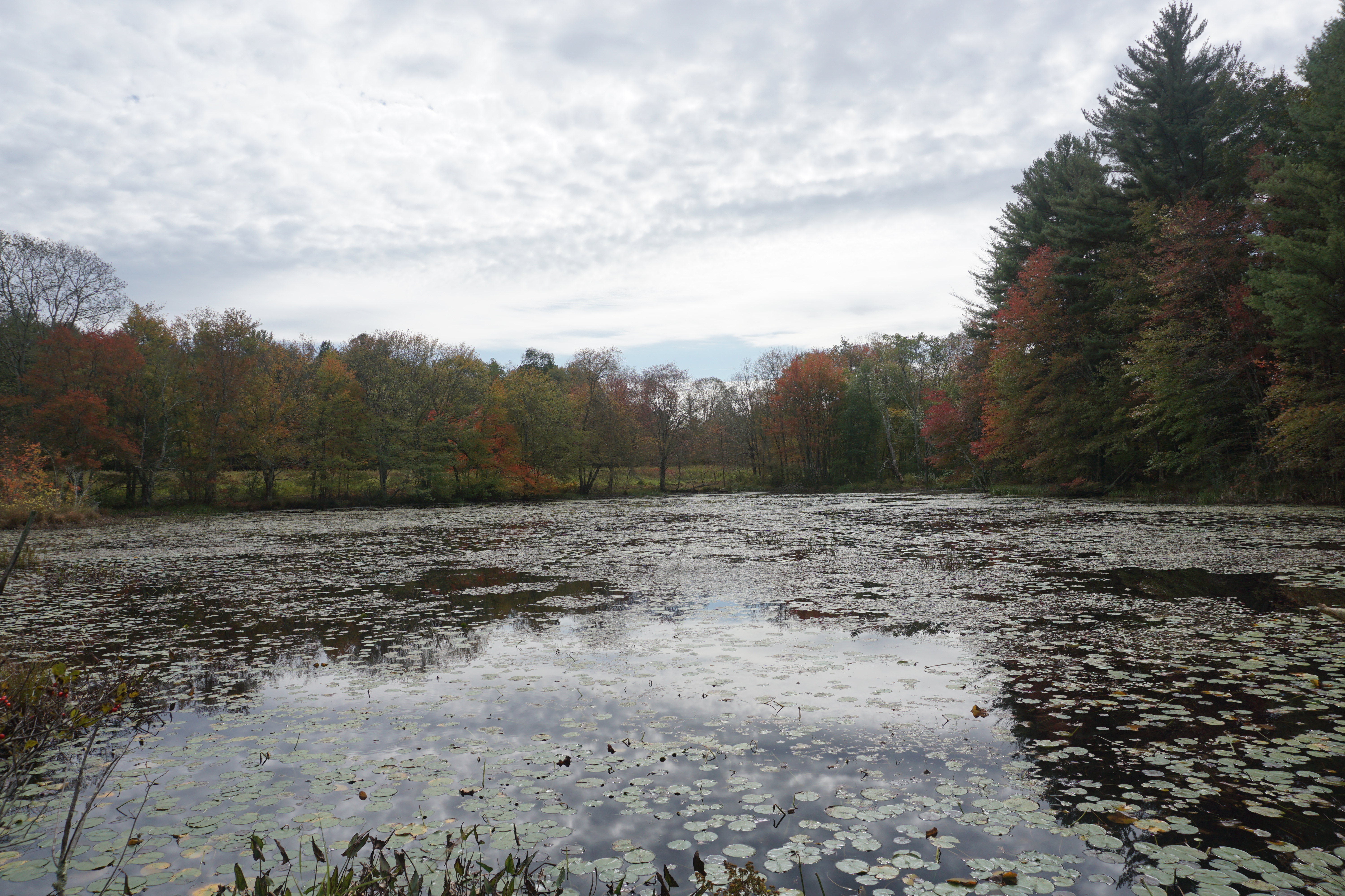
The view of the old Wieloch Pond, which is now a wetland with the removal of the dam, was just alright,
while there were no views to be had from the top of the hill here. Not coming back again.
At this point, I decided to grab a bite here before proceeding into Connecticut for the rest of the day, getting Chinese takeout from
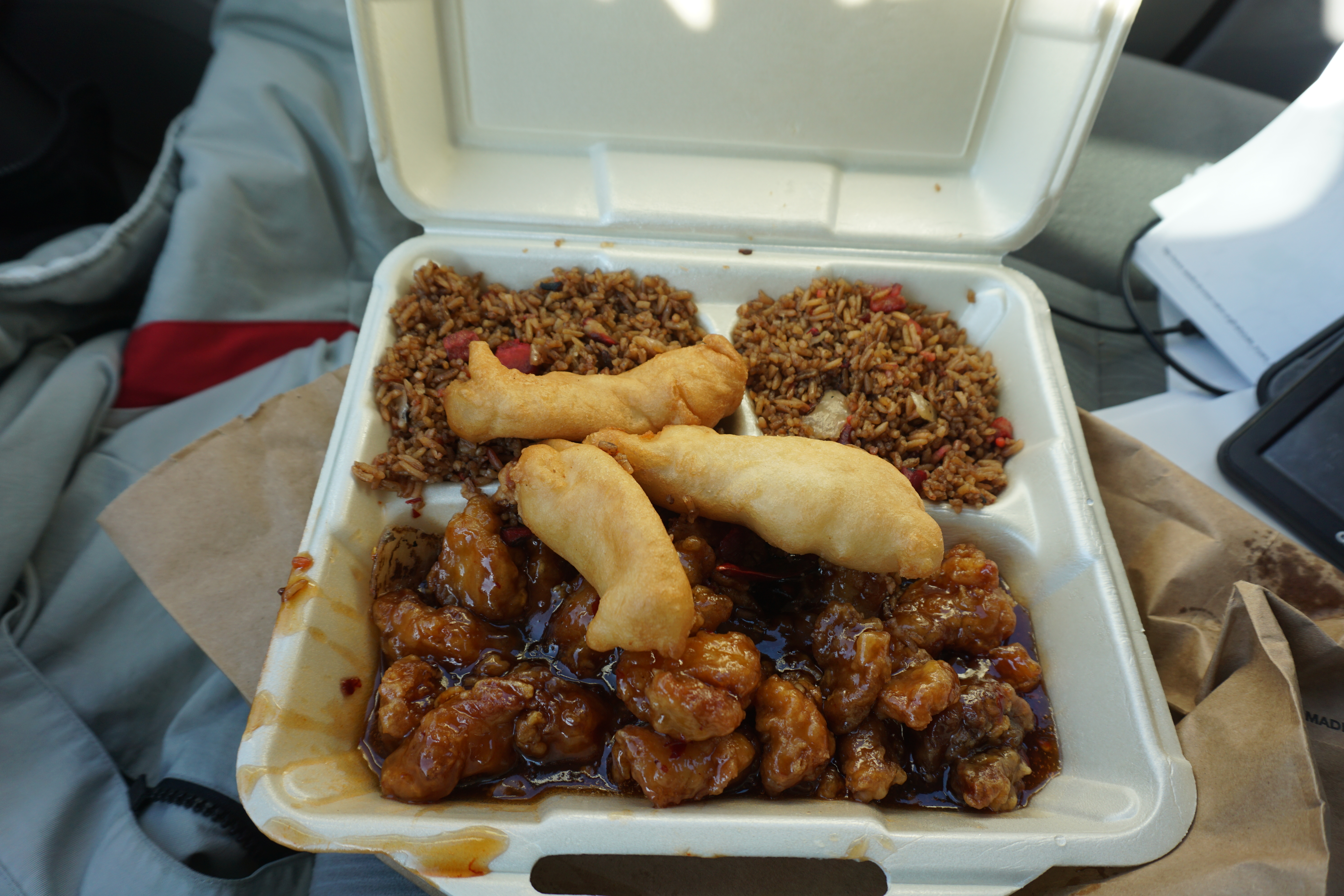
Yummy Asian Fusion Cuisine, a bar restaurant which I thought would just be a typical small storefront. I got the General Tzuo's Chicken which came with Chicken Fingers and Pork Fried Rice.
The rice was burnt, while the chicken fingers were made better with the sauce from the main dish. Thankfully the main dish itself was not bad.
From here, I headed into Woodstock CT,
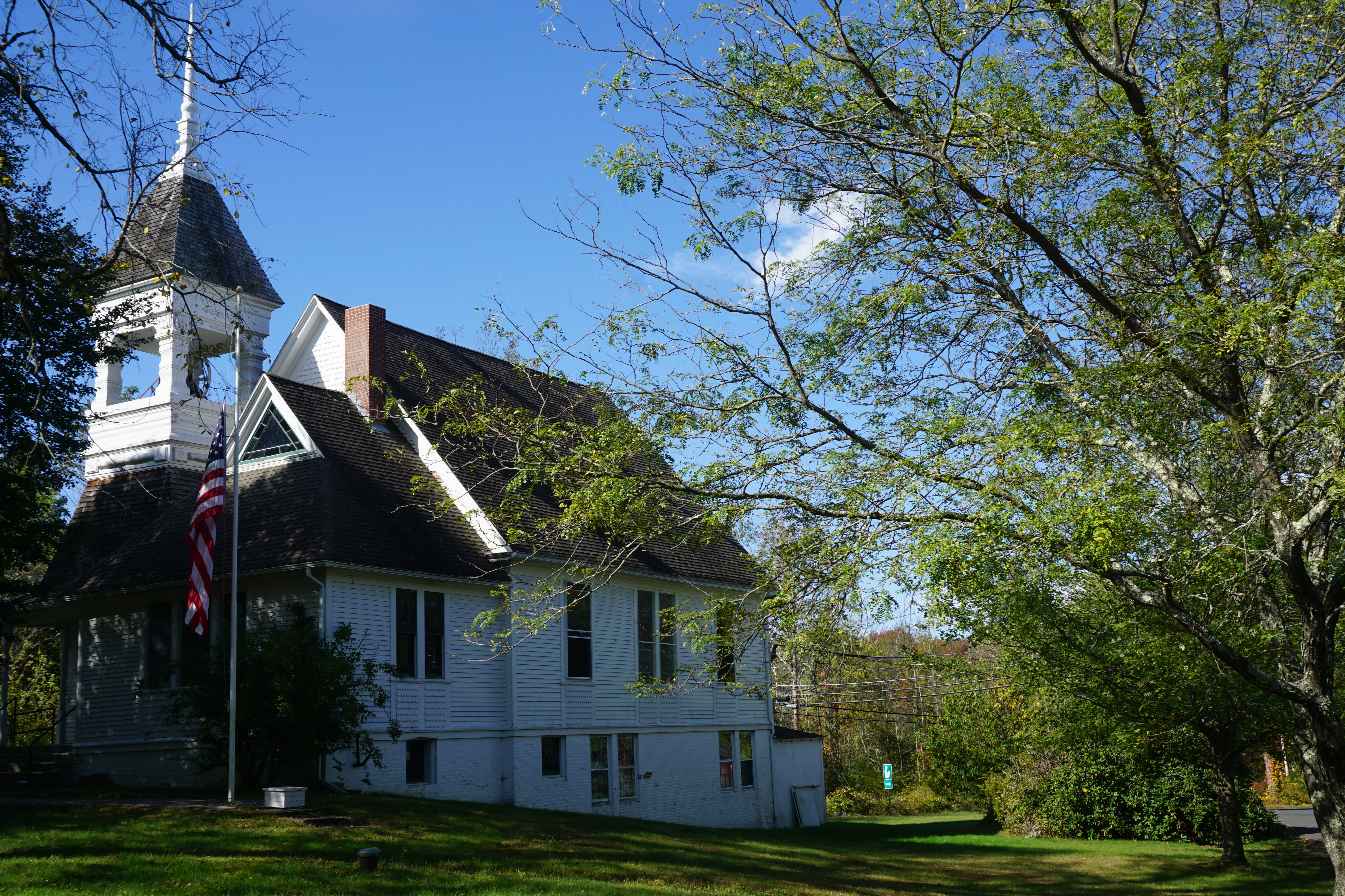
then Eastford CT,
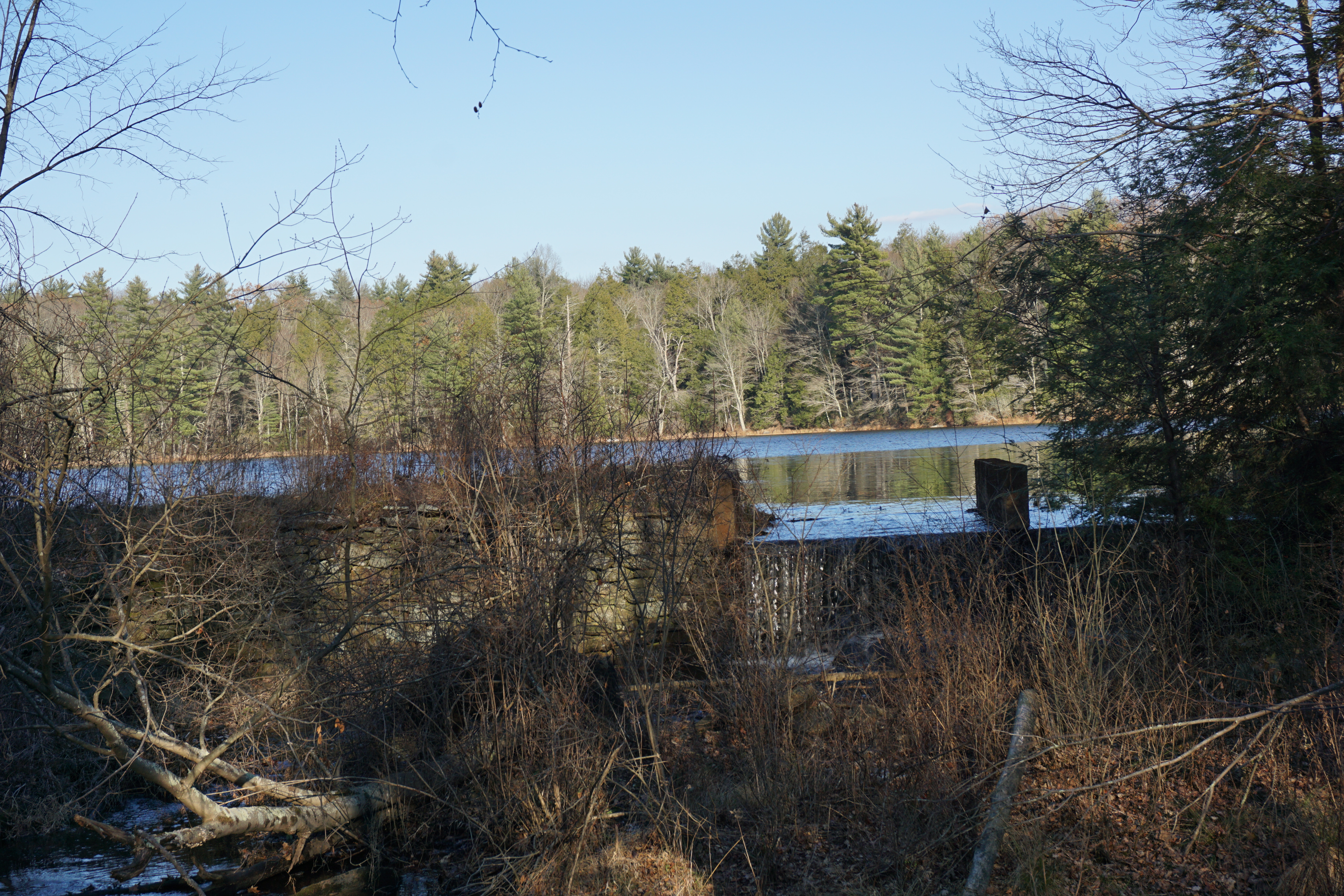
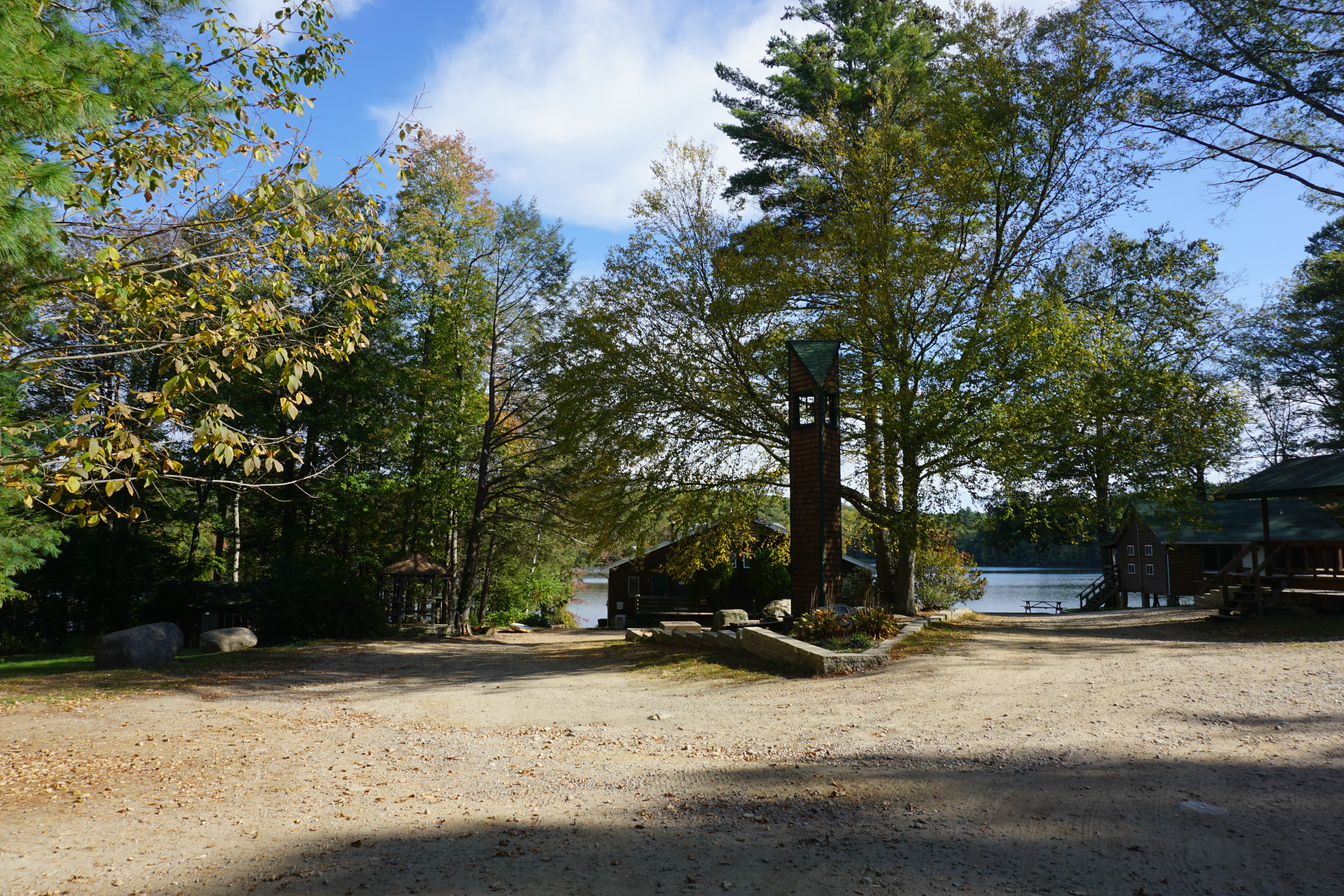
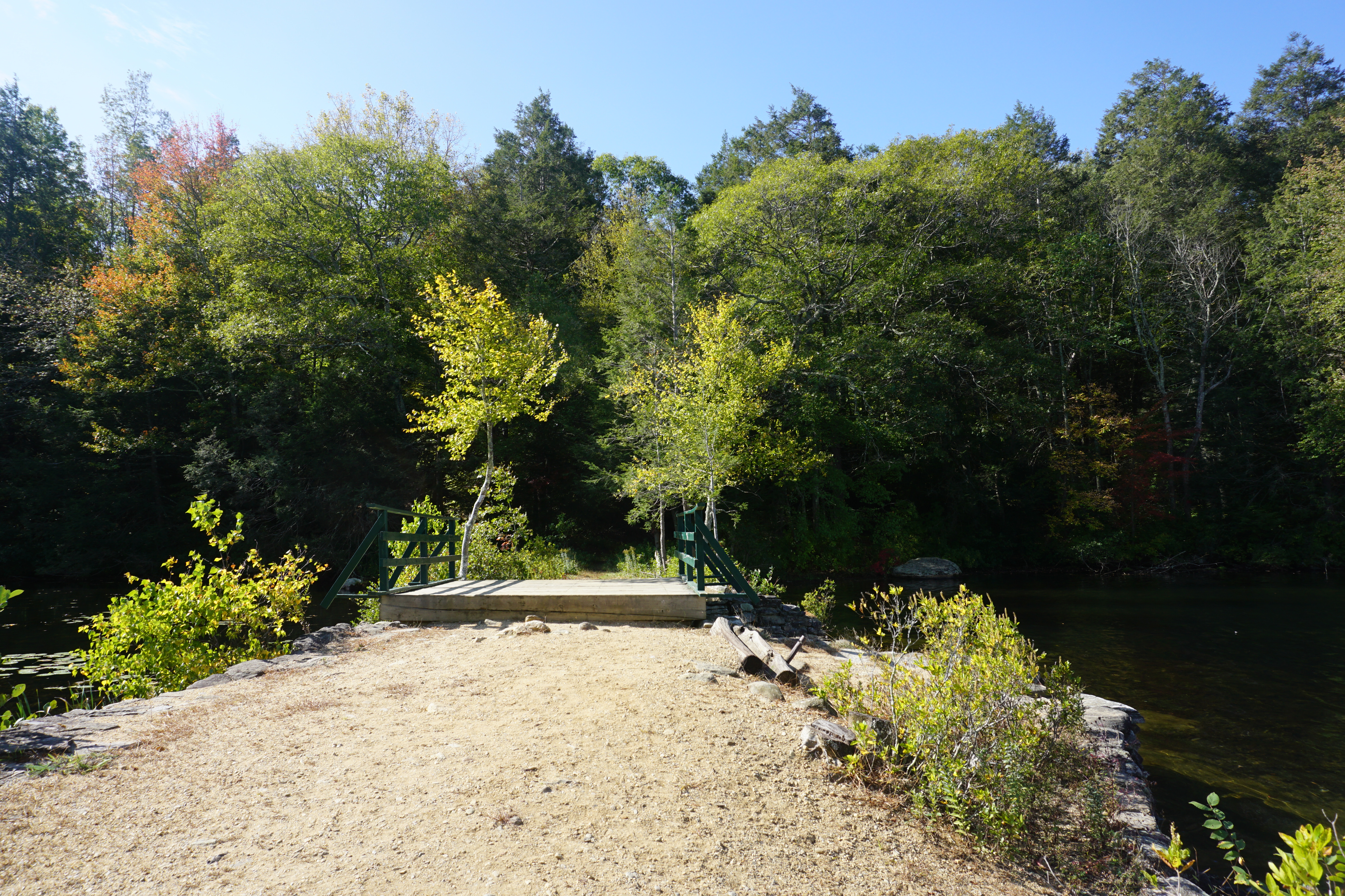
where I went on a short hike at the Yale Myers Forest Camp, located at 150 Center Pike. The path I took here to get to Morse Reservoir here is shown below in pink.
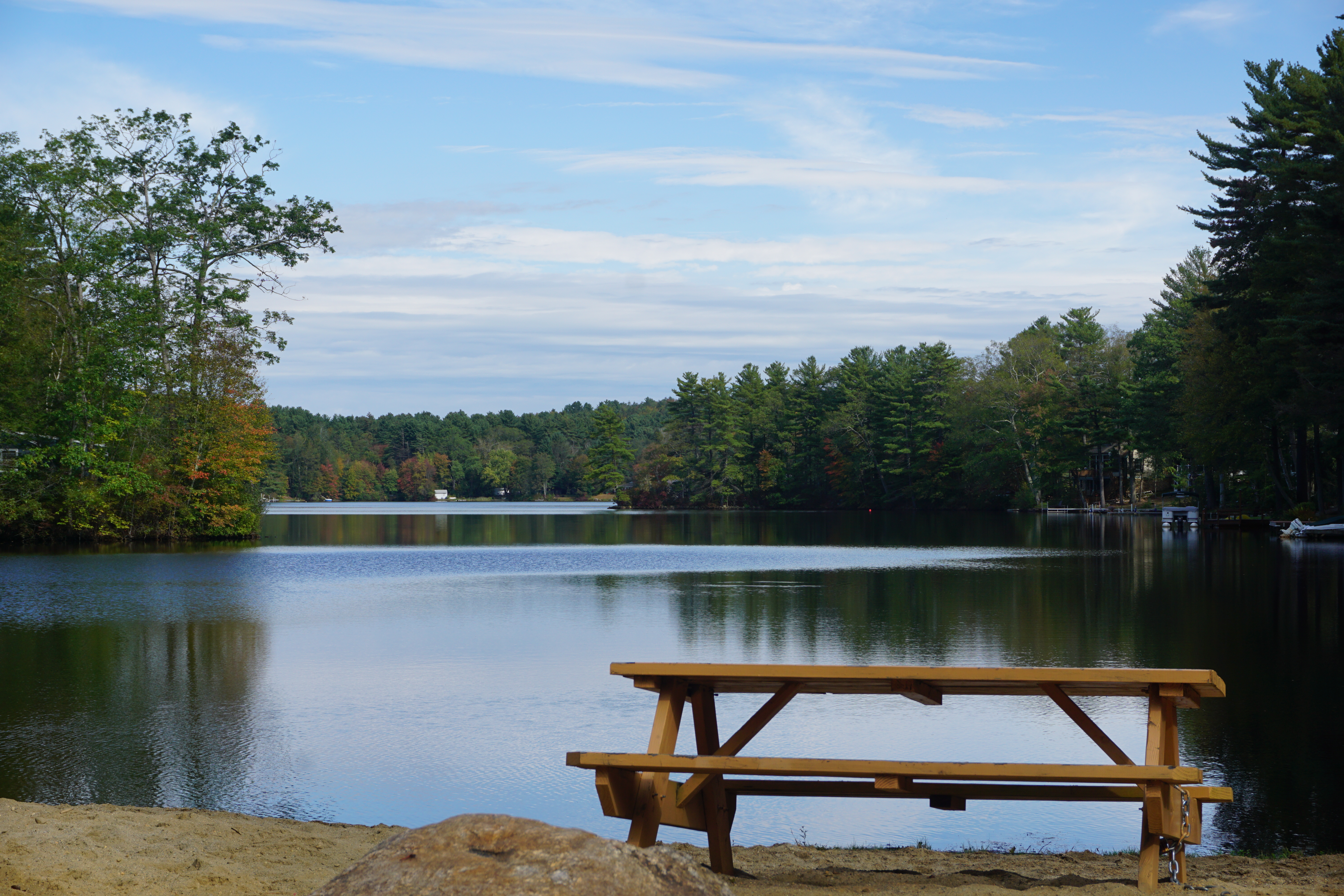
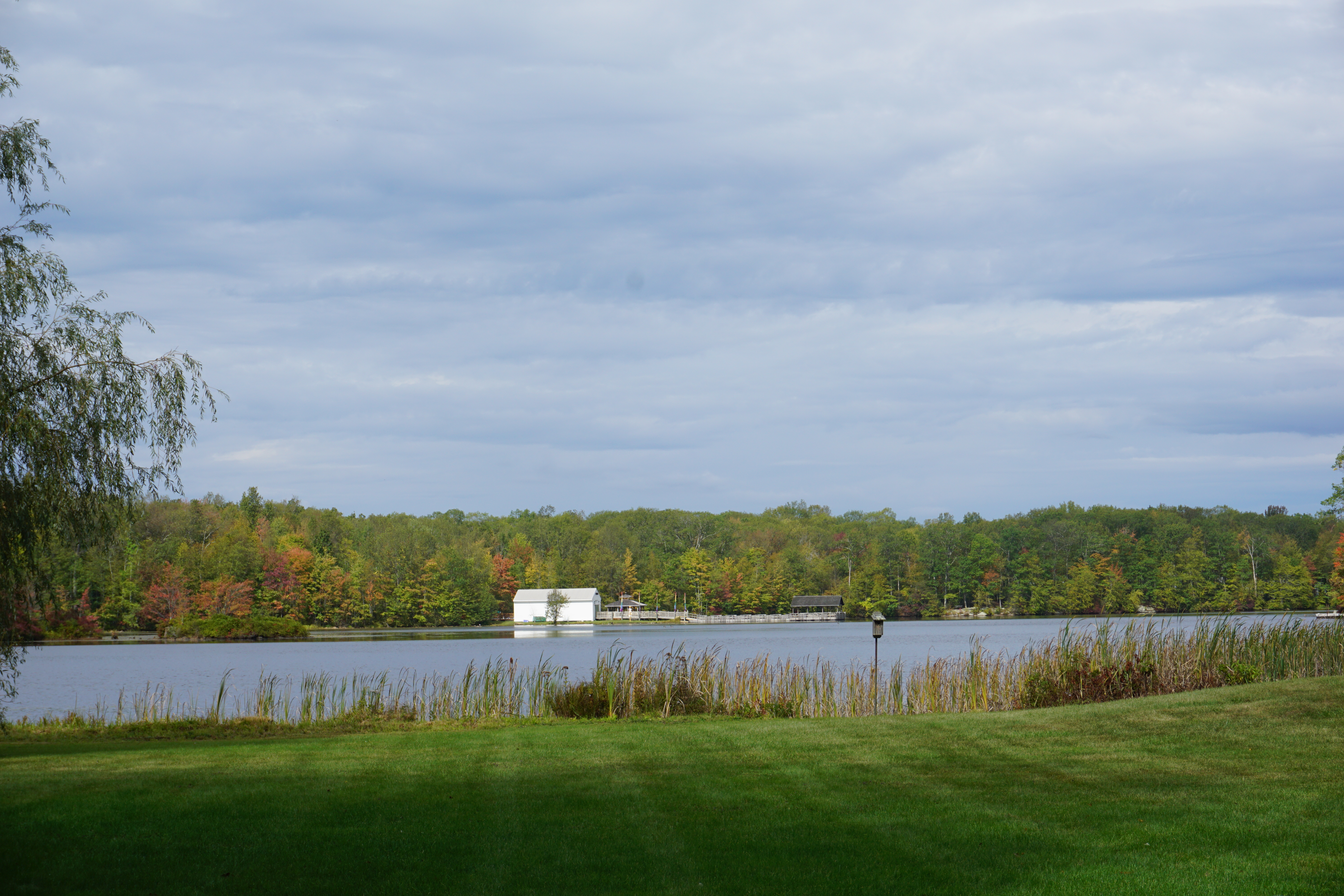
Not too bad a view of the waterfall and the reservoir, though from afar.
From here, I continued my exploration of the Yale Myers Forest area in Ashford CT,
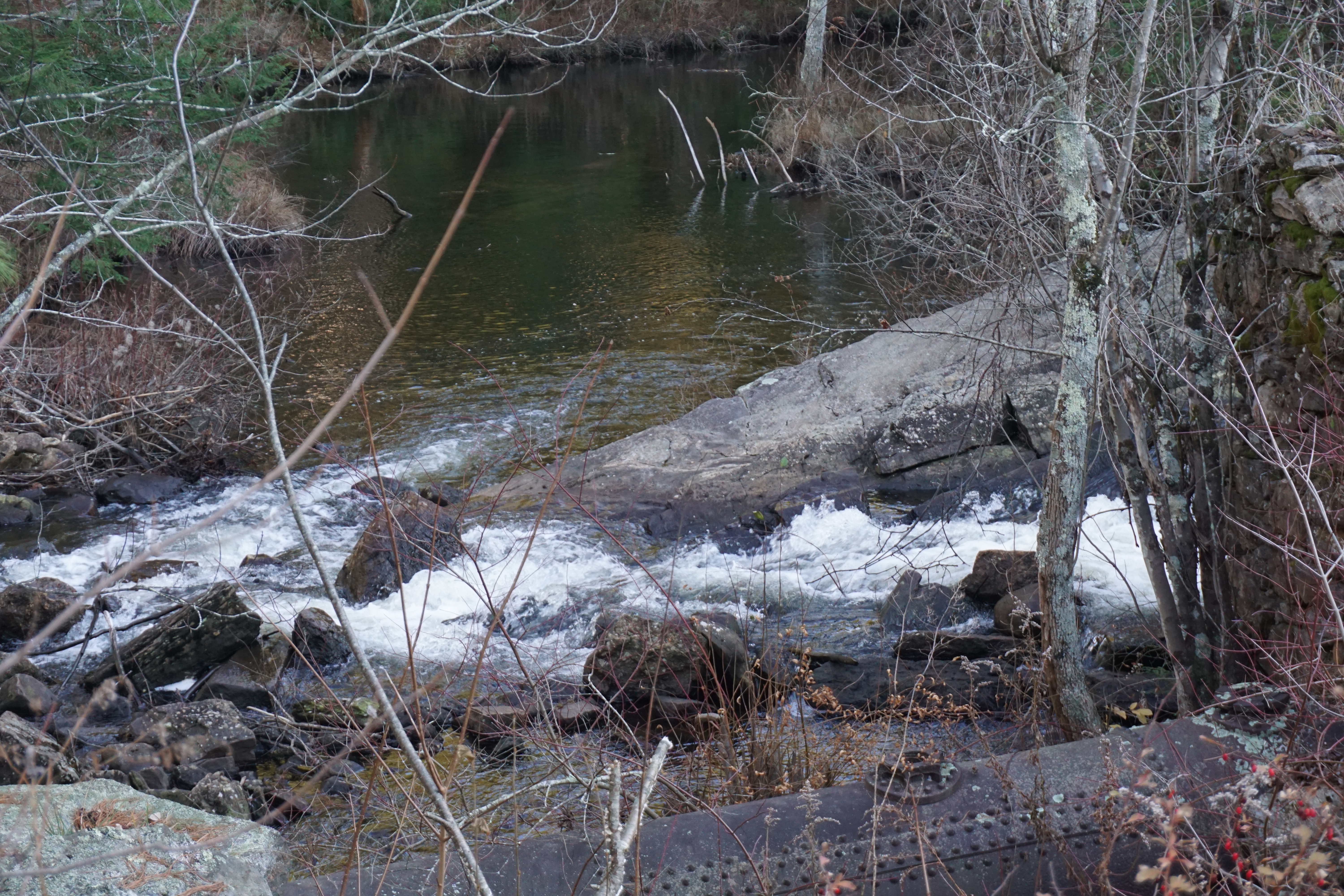 |
Barlow Mill Site,
Barlow Mill Road, 41.952522, -72.151054 |
Going for a short hike in the Turkey Hill area, where the path I took to get to the water body here is shown below in pink.
I could not see the water body from where I was on the trail though, so I gave up and went back to my car. Apparently there is a great view on the other side of the road in the Boston Hollow area, as indicated by the star on the picture above. Guess I got to come back some day and check it out.
At this point, I decided to start heading for home,
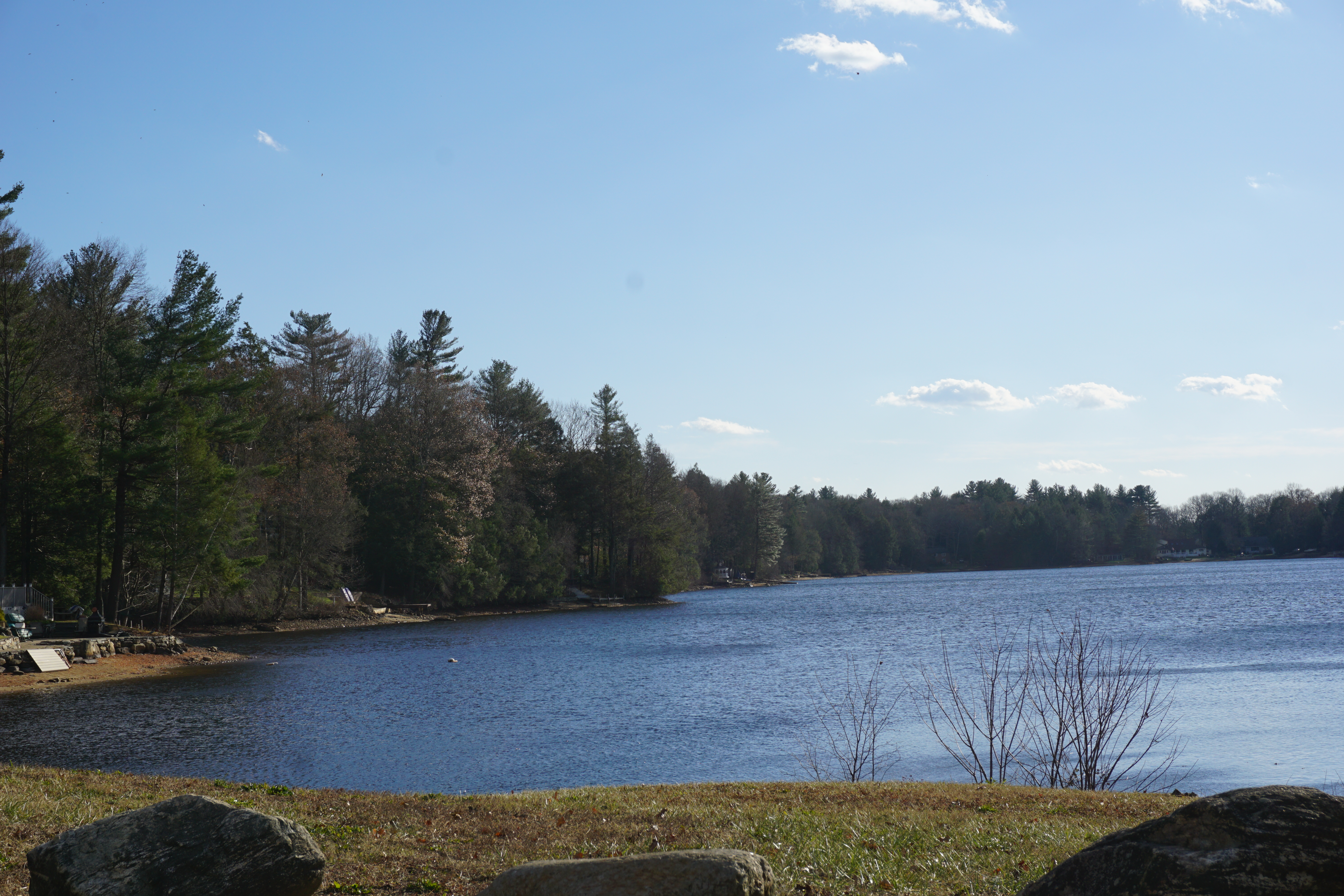
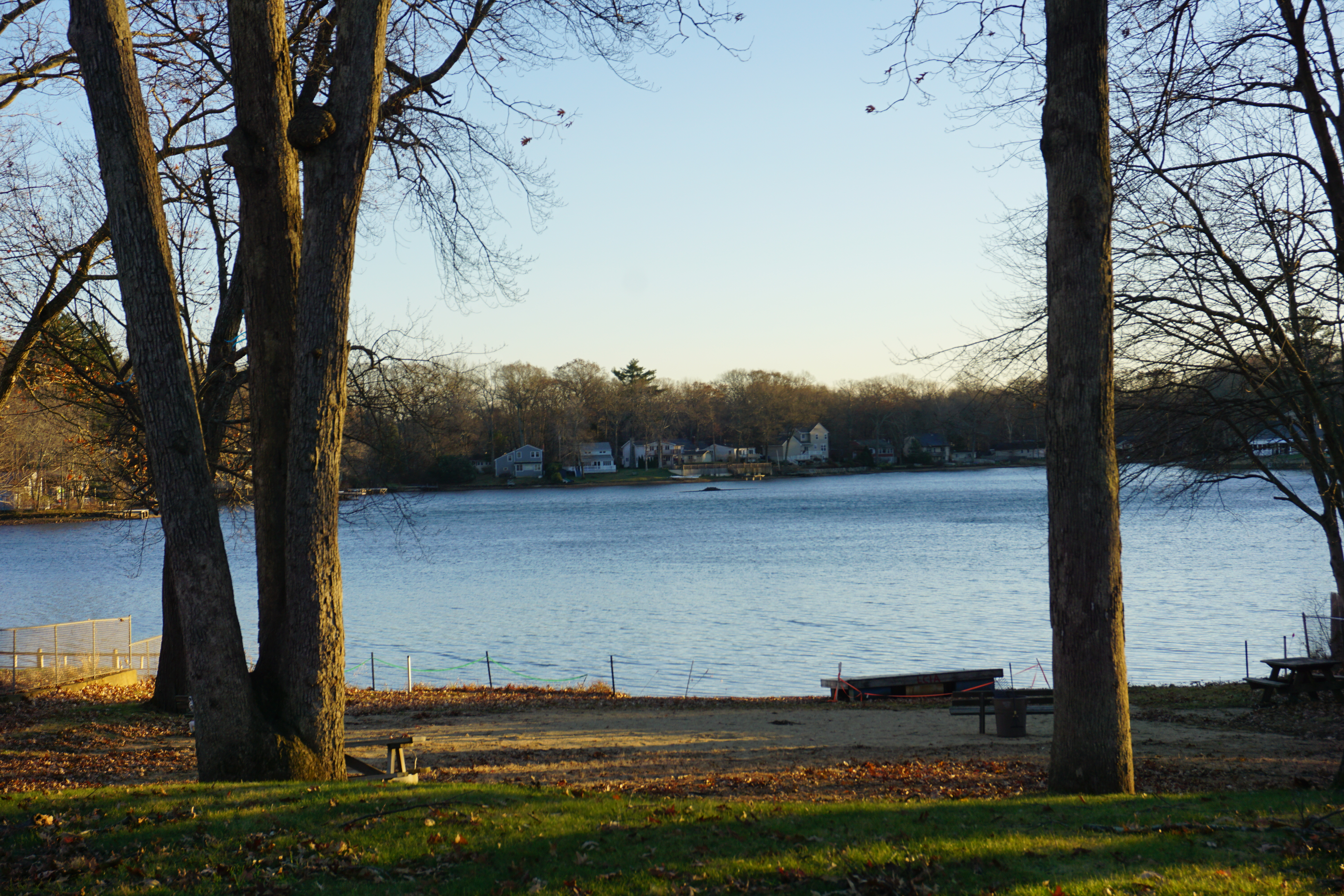
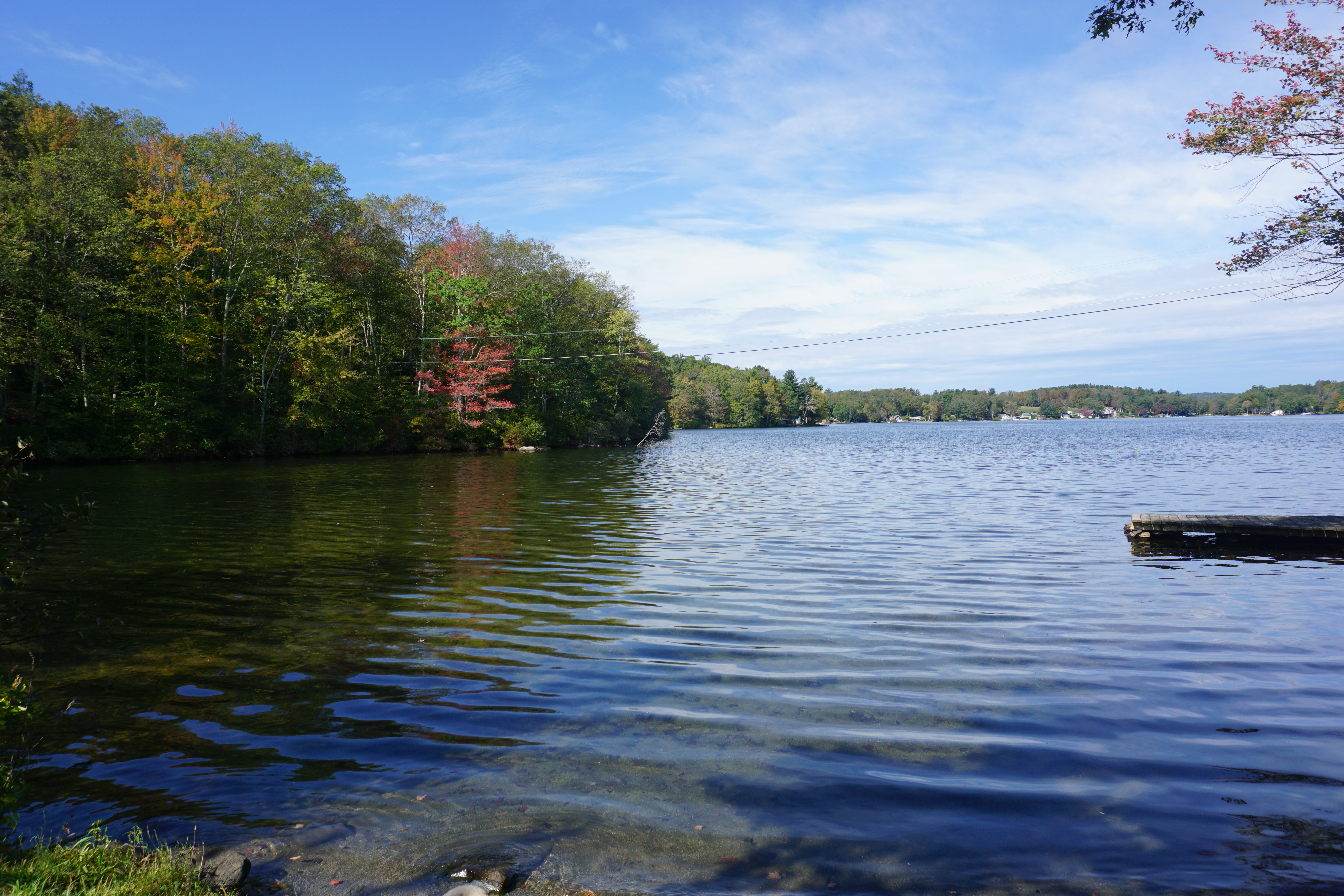
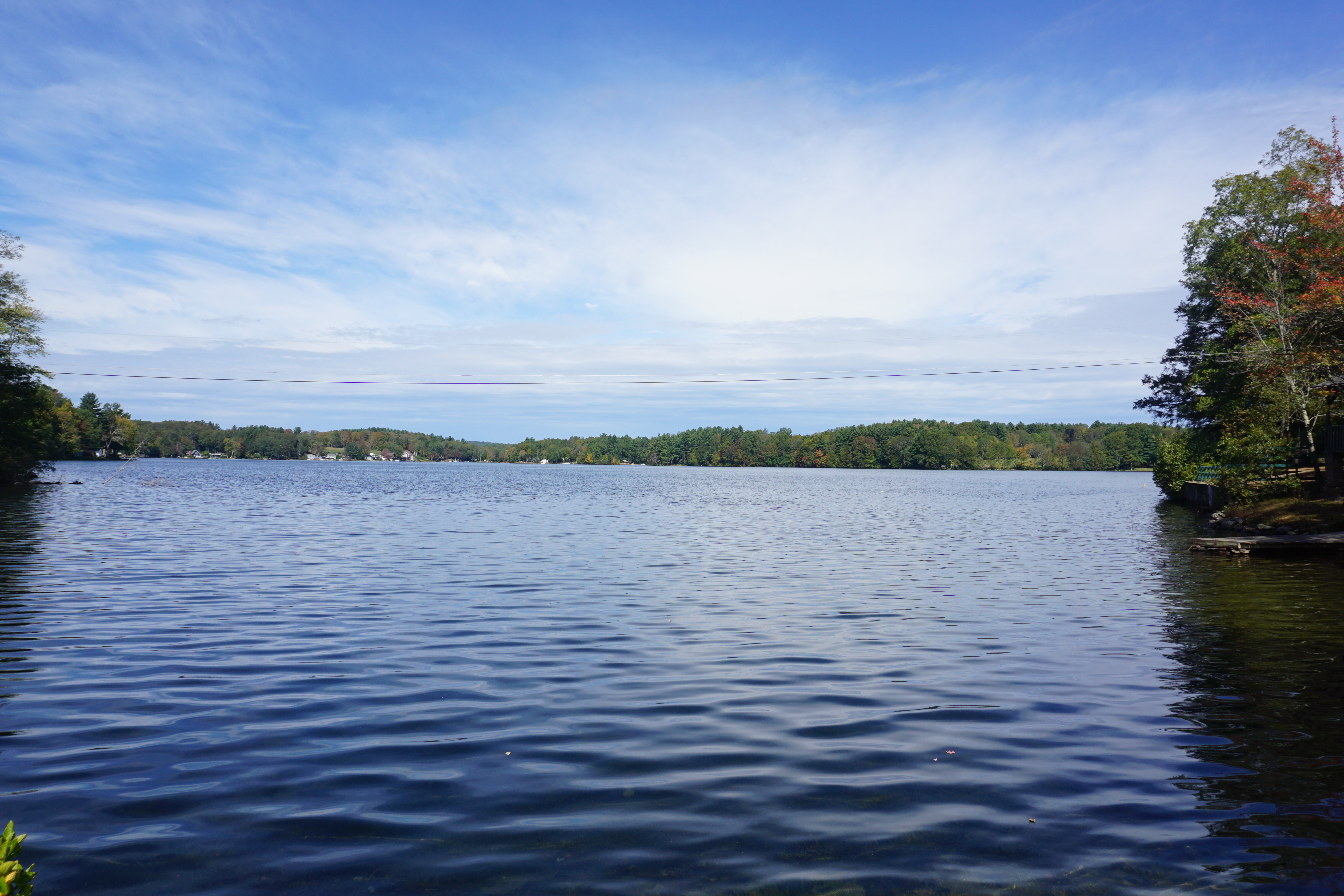
stopping along I-84 for a picture of Morey Pond,
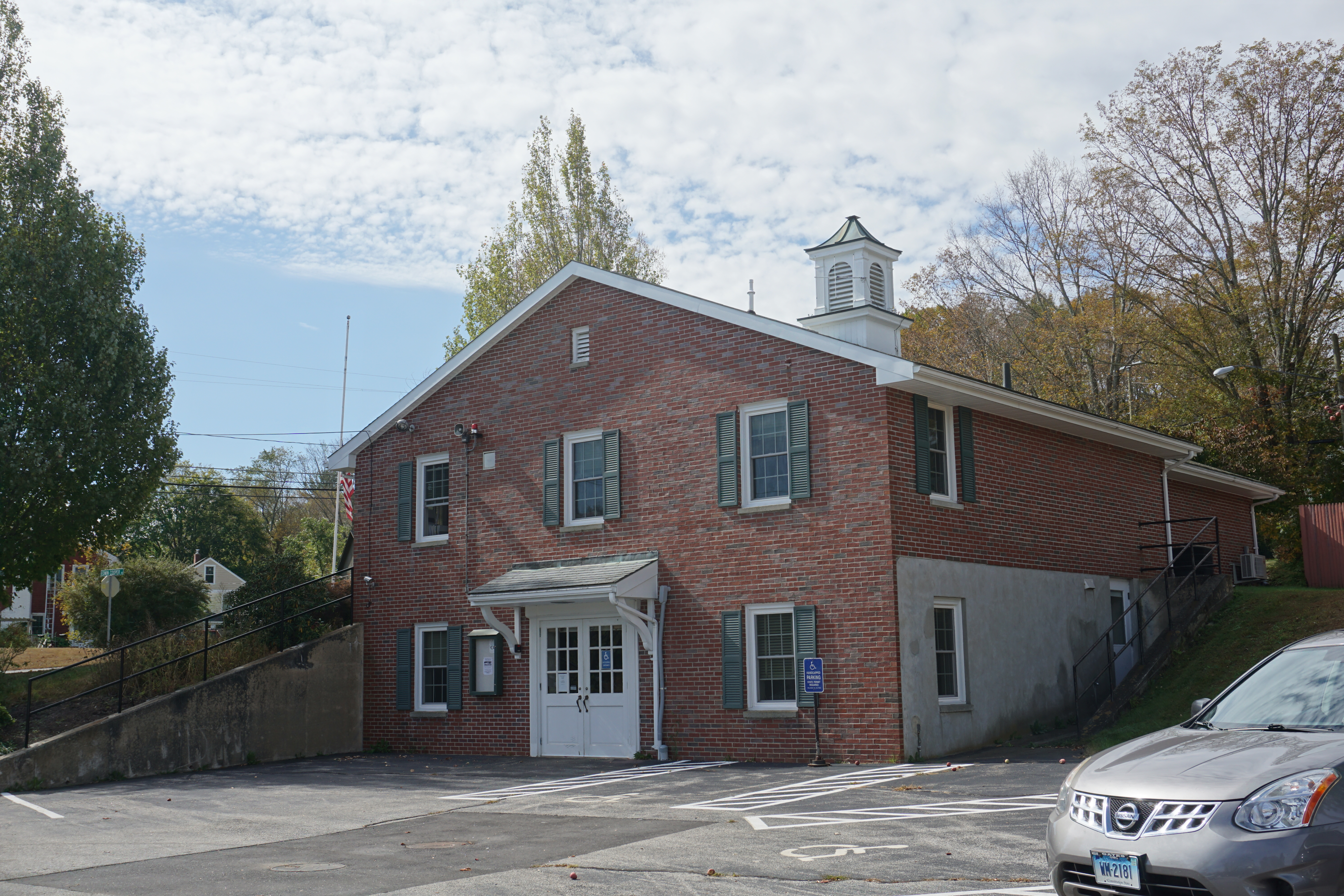
then the town of Union CT.
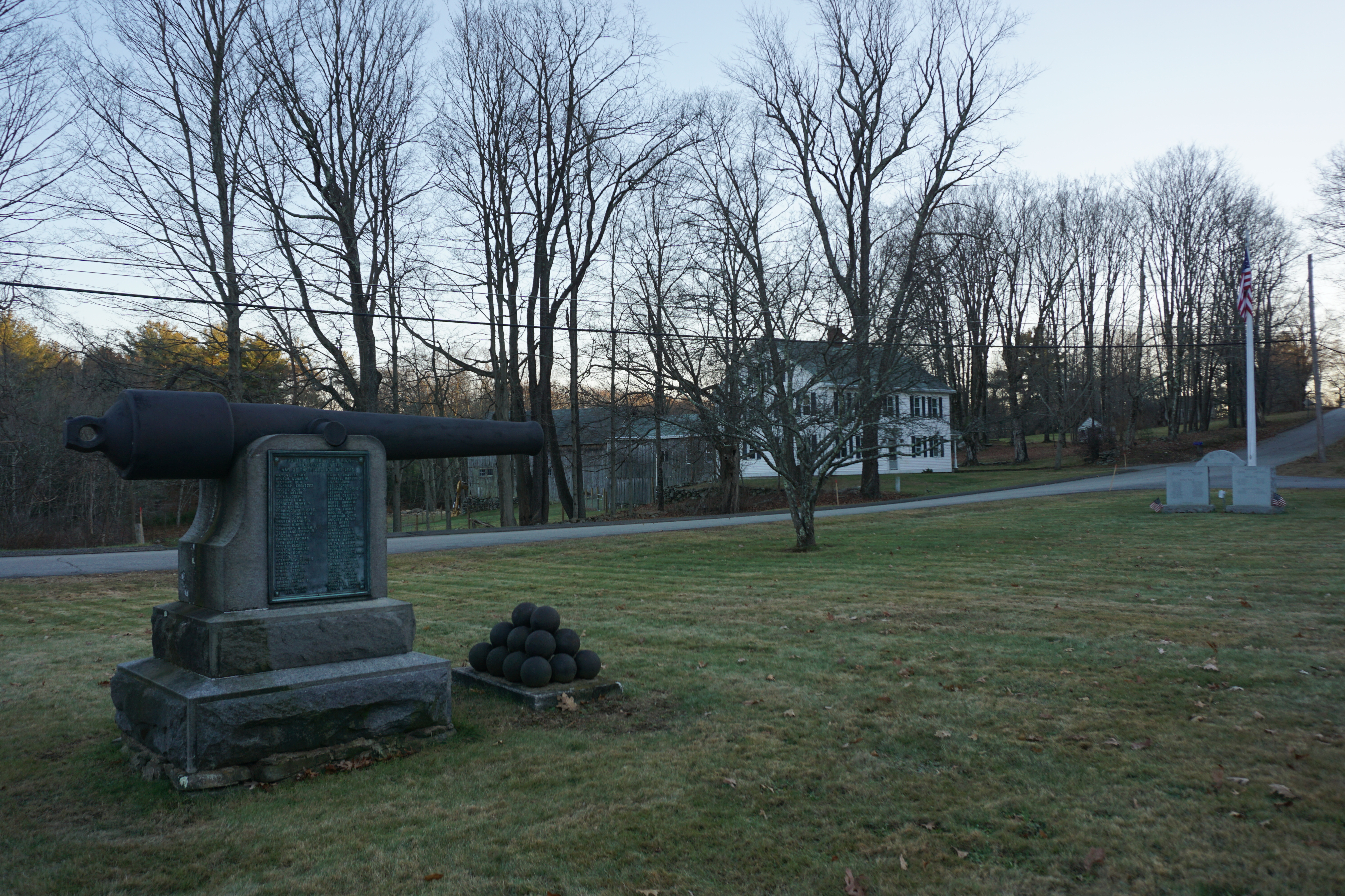 |
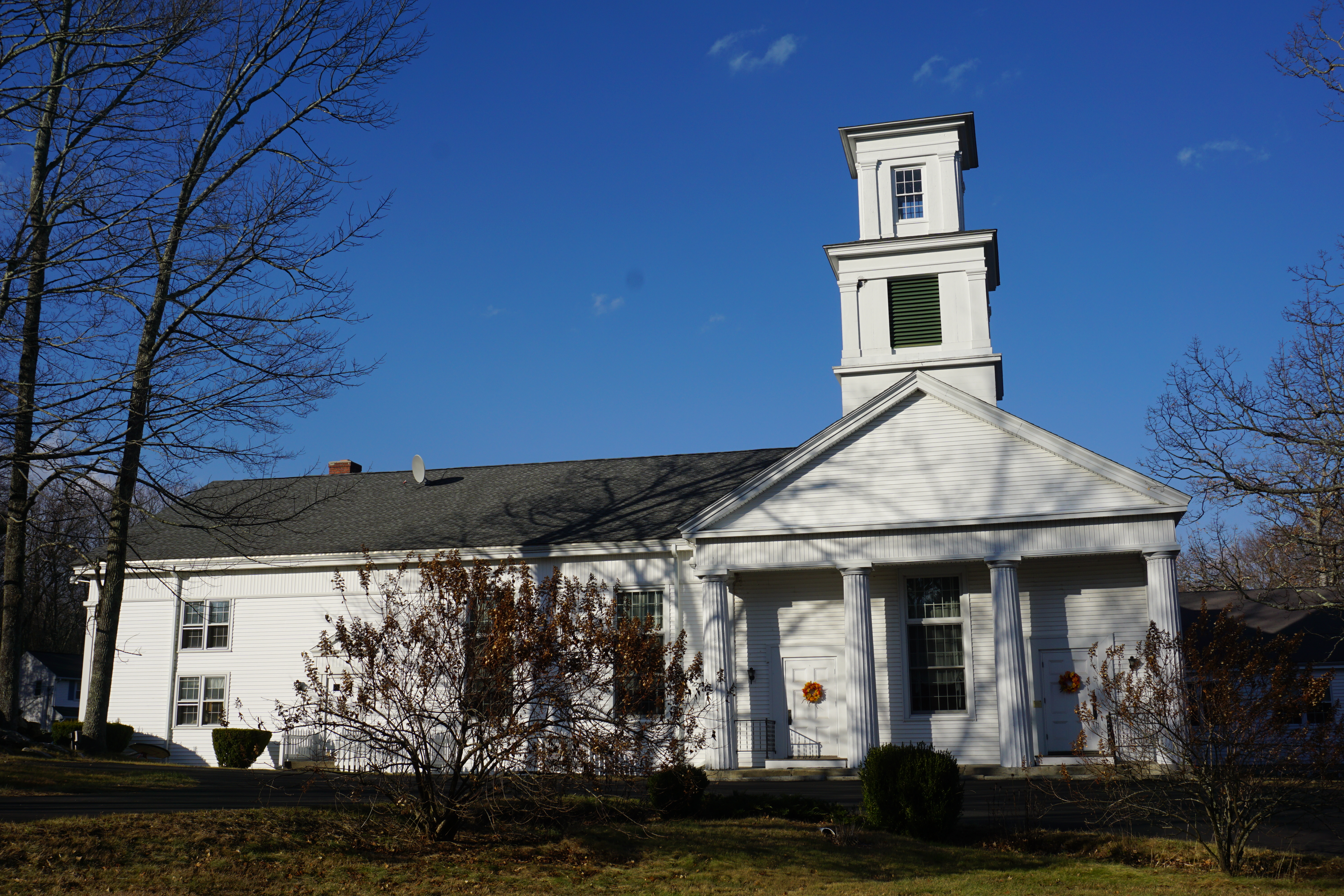
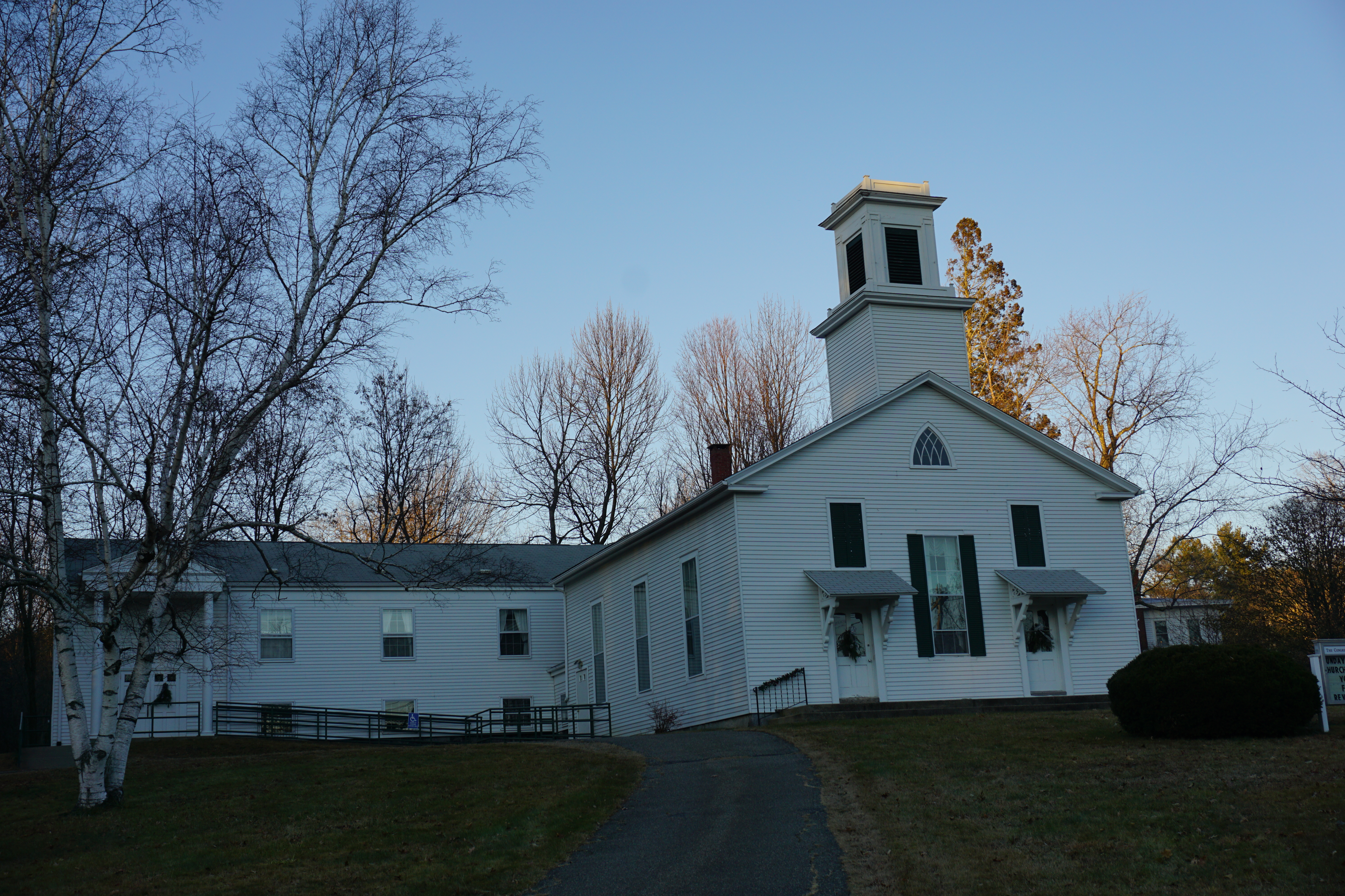
Civil War Memorial,
Buckley Highway and Town Hall Road |
My final stop of the day was at
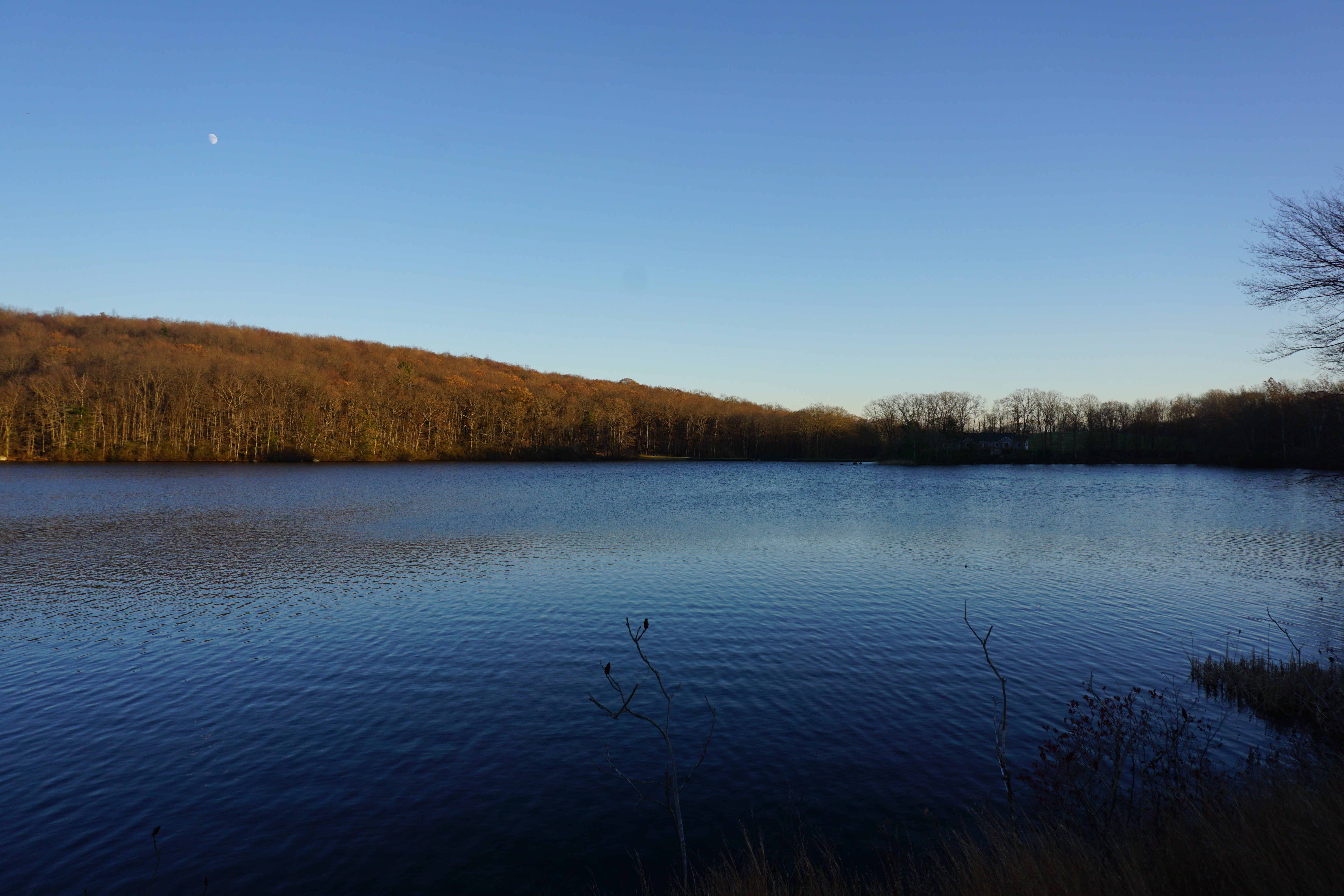
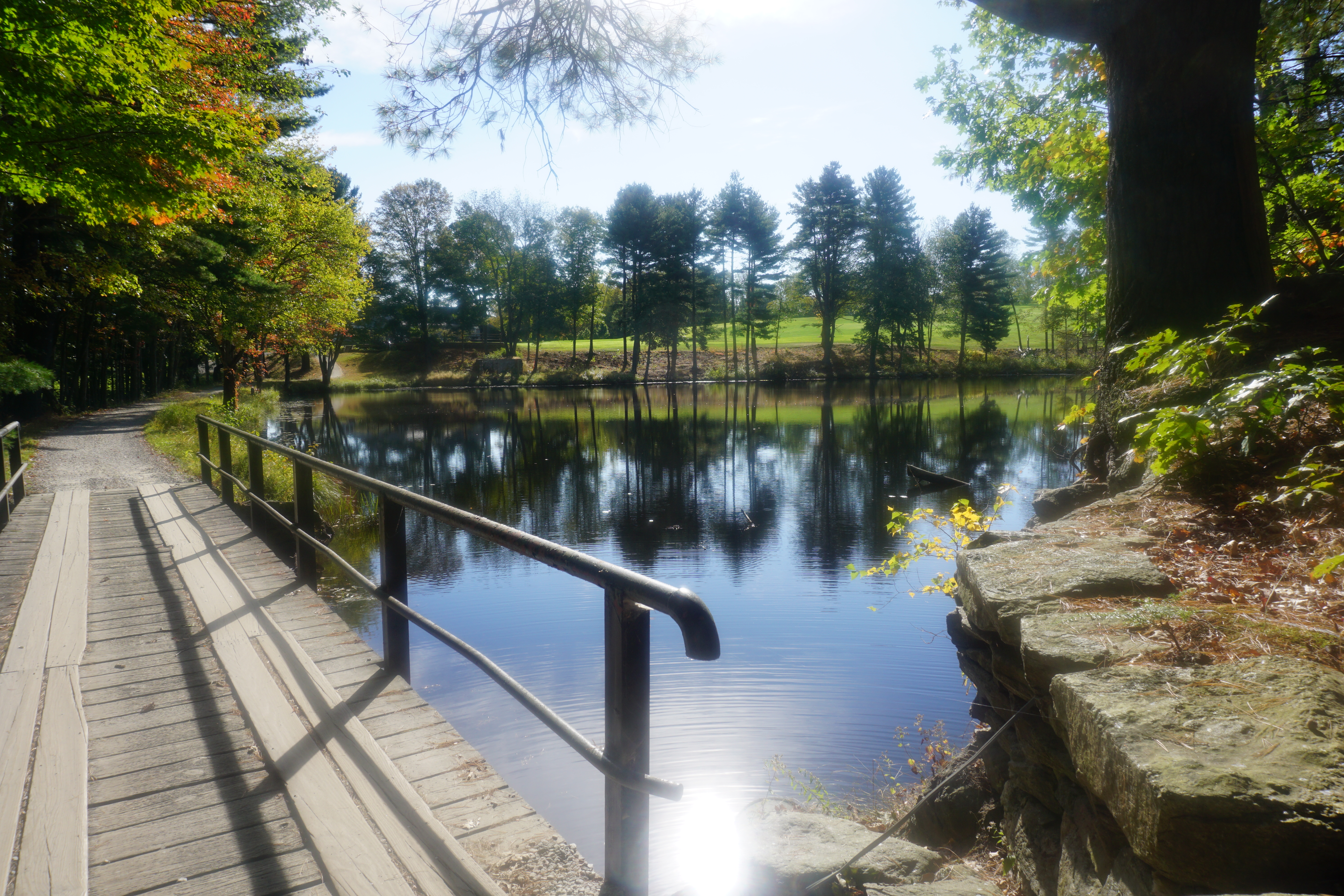
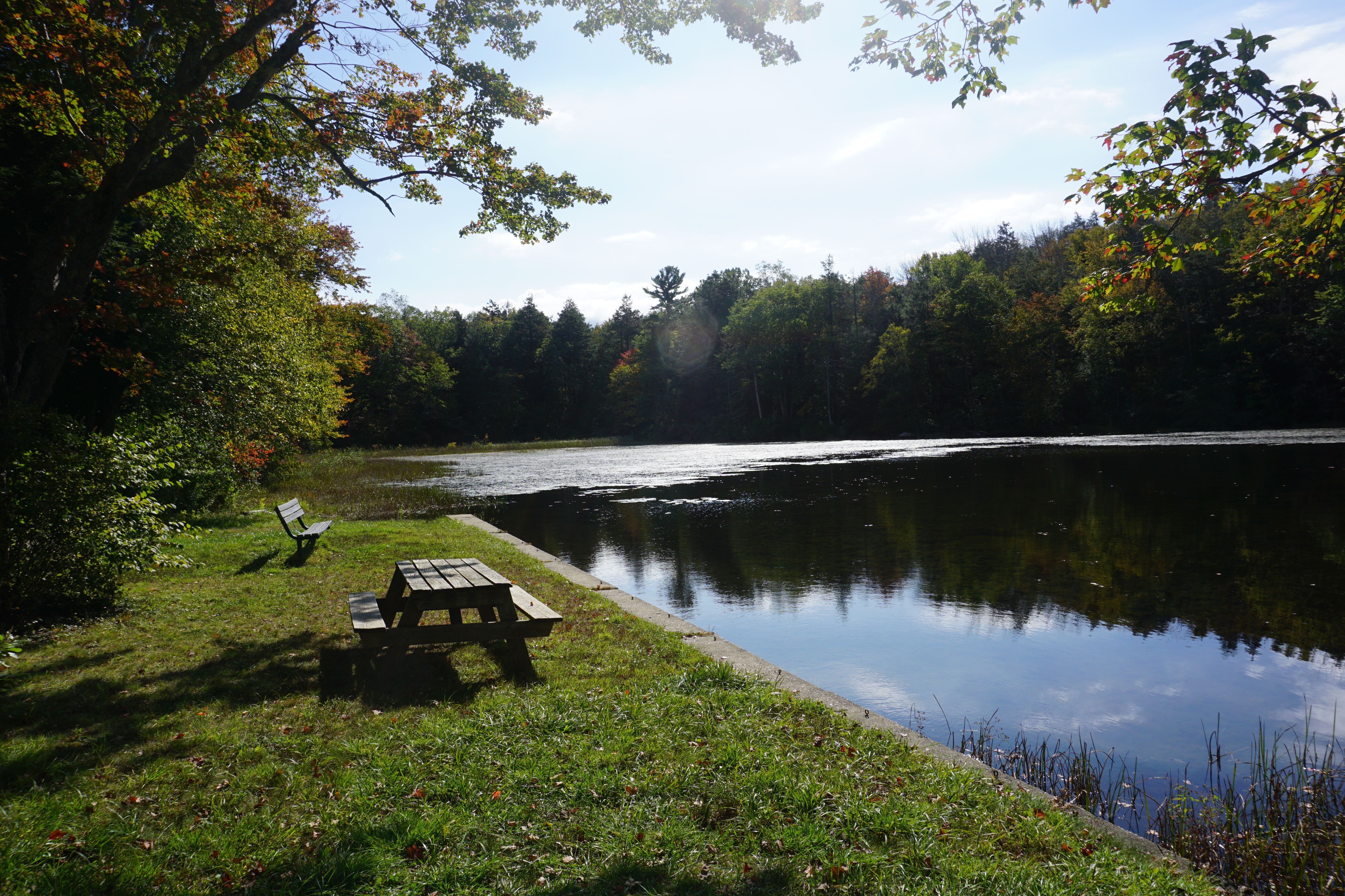
Leadmine Pond in Sturbridge, where I apparently trespassed on private property to get this picture of it,
somehow dropping my phone into the pile of leaves here, realizing only when I got back to my car. I could not find it no matter how I raked the leaves, and it was getting dark as well. In the end, I resorted to knocking on the door of the house nearby, and the nice old man in there came out to help, armed with a torchlight, a land phone and a cell phone. The cell phone somehow wasn't working, which made me panic for a bit as I could not hear my phone, but thankfully the land phone was still within range, and it was more of a miracle that my phone wasn't on vibrate mode, and I heard it immediately and found it beneath the leaves. What a relief.
As a result, I was late getting home, resorting to getting more Chinese takeout from
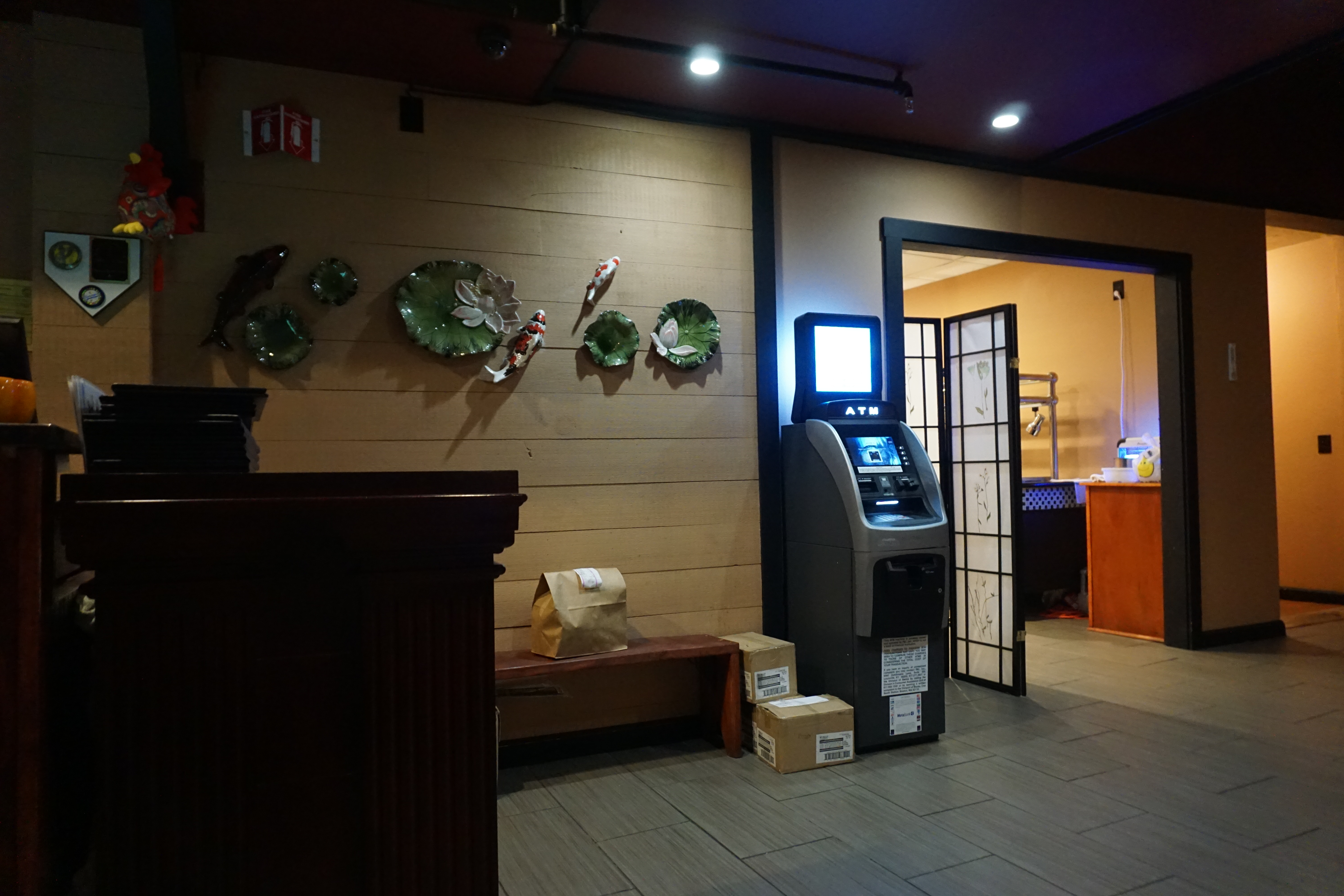
Meiji Asian Cuisine, a bar restaurant in Oxford just like in Dudley, thinking it would have some good Japanese food.
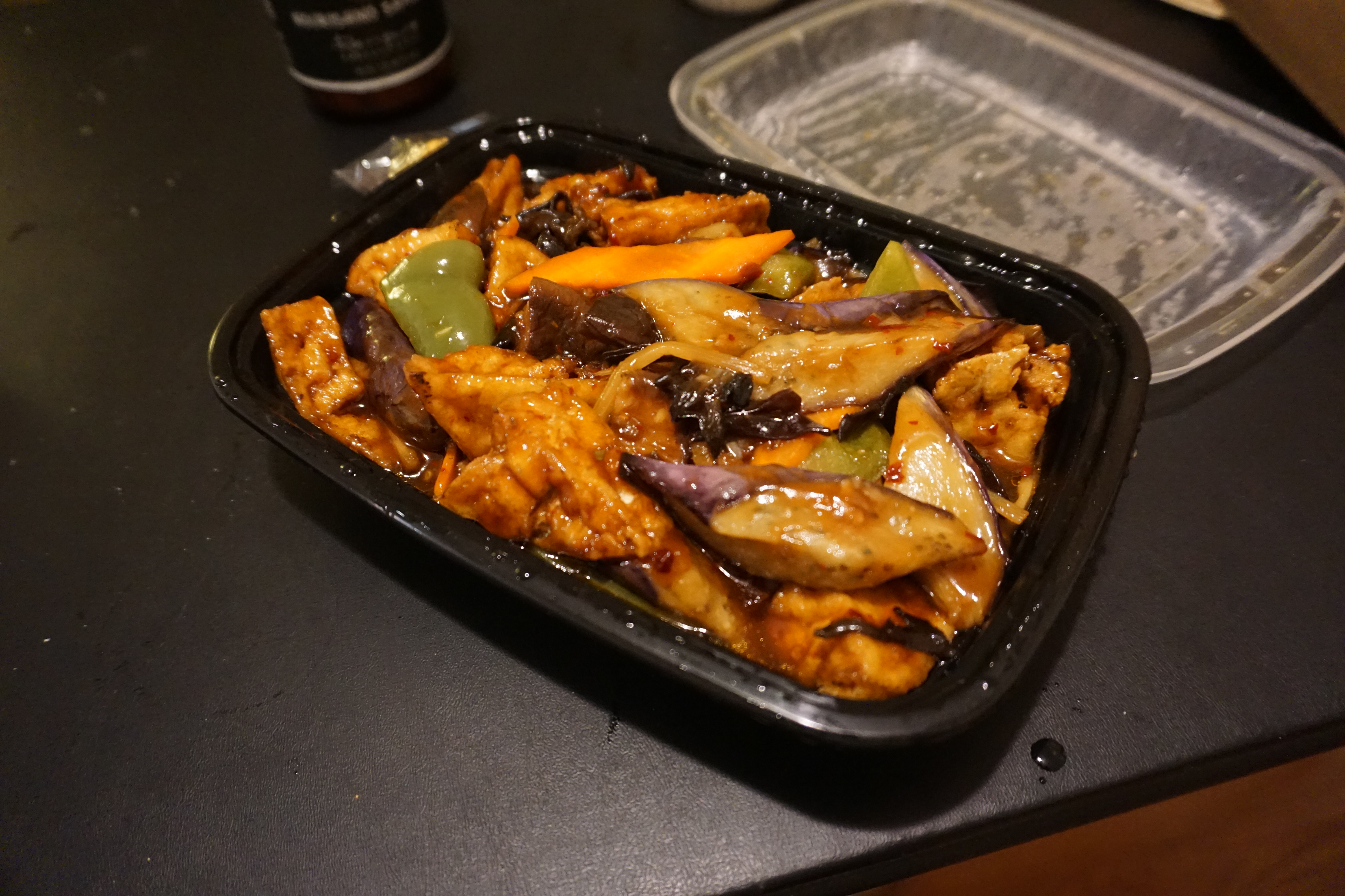
Unfortunately, there wasn't anything interesting on the menu by way of Japanese food, and I had to settle for Eggplant with Tofu in Garlic Sauce, which was not bad actually.
8 hikes in one day, not bad at all.