Wednesday, November 29, 2017

Recommended Places to Visit: Woodstock CT

Recreation
Beaches
Camp Woodstock YMCA
42 Camp Road

Upper Bungee Lake
Laurel Hill Drive, 41.955159, -72.061561

Woodstock Town Beach
180 Pond Factory Road

Witches Woods Lake
Beaver Dam Road, 41.952816, -72.071739


Water Bodies
Beaver Pond
75 Leavitt Road

Wappaquasset Pond
50 West Quasset Road

Keach Pond
270 Old Turnpike Road


Parks
Palmer Arboretum
523 Norwich Worcester Turnpike

Roseland Park
200 Roseland Park Road


Hiking
Recommended:
Camp Nahaco/Crystal Pond Park
305 Crystal Pond Road


Architecture
Monuments

Places of Worship
North Woodstock Congregational Church
1227 Norwich Worcester Turnpike

East Woodstock Congregational Church
220 Woodstock Road

South Woodstock Baptist Church
Roseland Park Road and Stone Bridge Road

Evangelical Covenant Church
24 Child Hill Road

First Congregational Church of Woodstock
543 Norwich Worcester Turnpike

Church of the Good Shepherd
12 Bradford Corner Road


Schools
Woodstock Elementary School
24 Frog Pond Road

Woodstock Academy
57 Academy Road


Town Facilities
Town Hall
415 Norwich Worcester Turnpike


Historical Buildings
Roseland Cottage
556 Norwich Worcester Turnpike


Restaurants
Tried:
Western
Sherwood's Restaurant and Bar
35 Route 171
Recommended Dishes:
Chicken Pesto Penne

November 29th 2017: Hiking My Way South

Taking a day off today, I headed southward, starting off with a hike at Perkins Farm, where the path I took here from behind the Stop N Shop at 949 Grafton Street is shown below in pink.
Nothing of significance here, although it was a decent walk in the woods.

From here, I headed to 
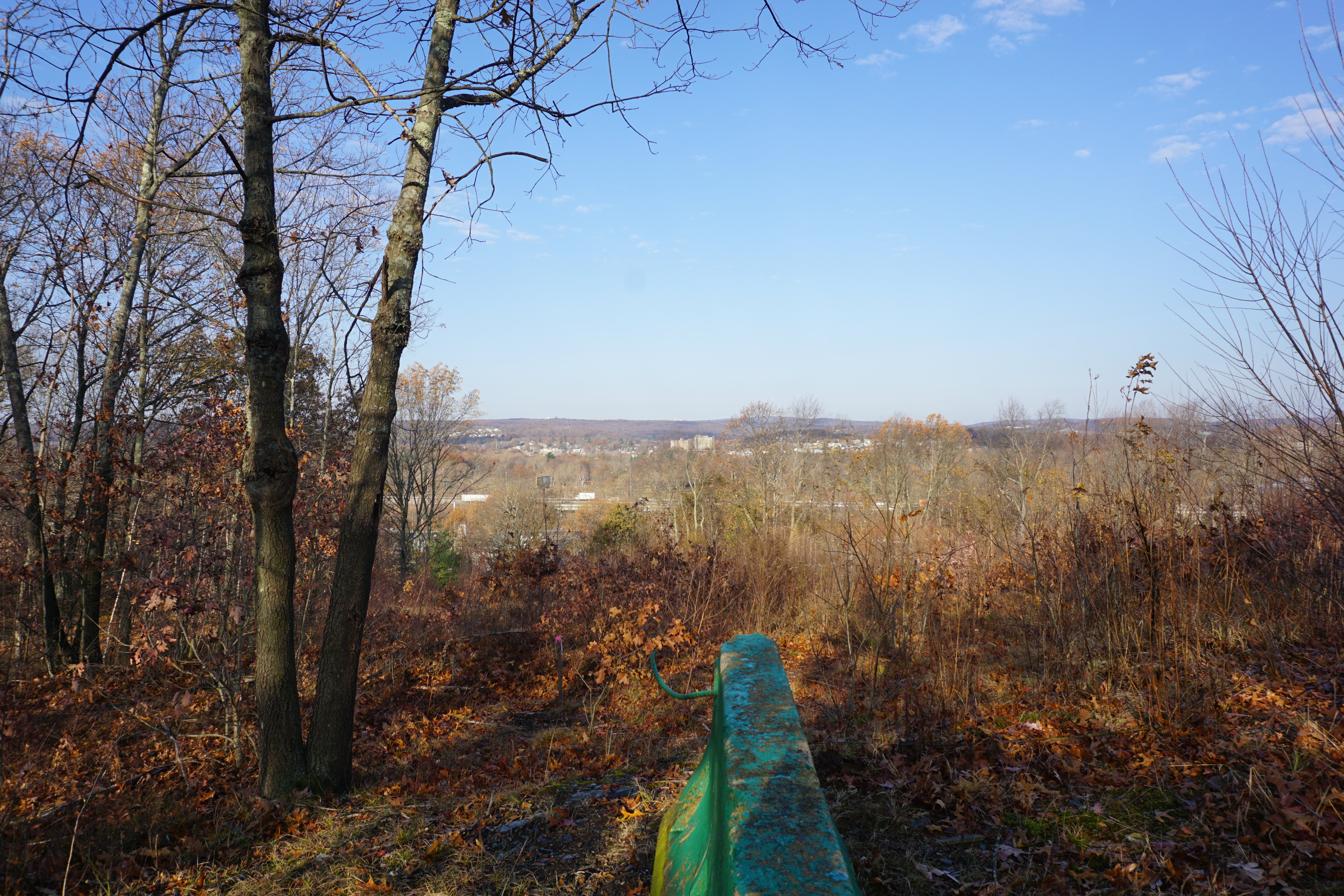
Cookson Park in town for my next hike, where the path I took from the southern entrance on Clay Street is shown below in pink.
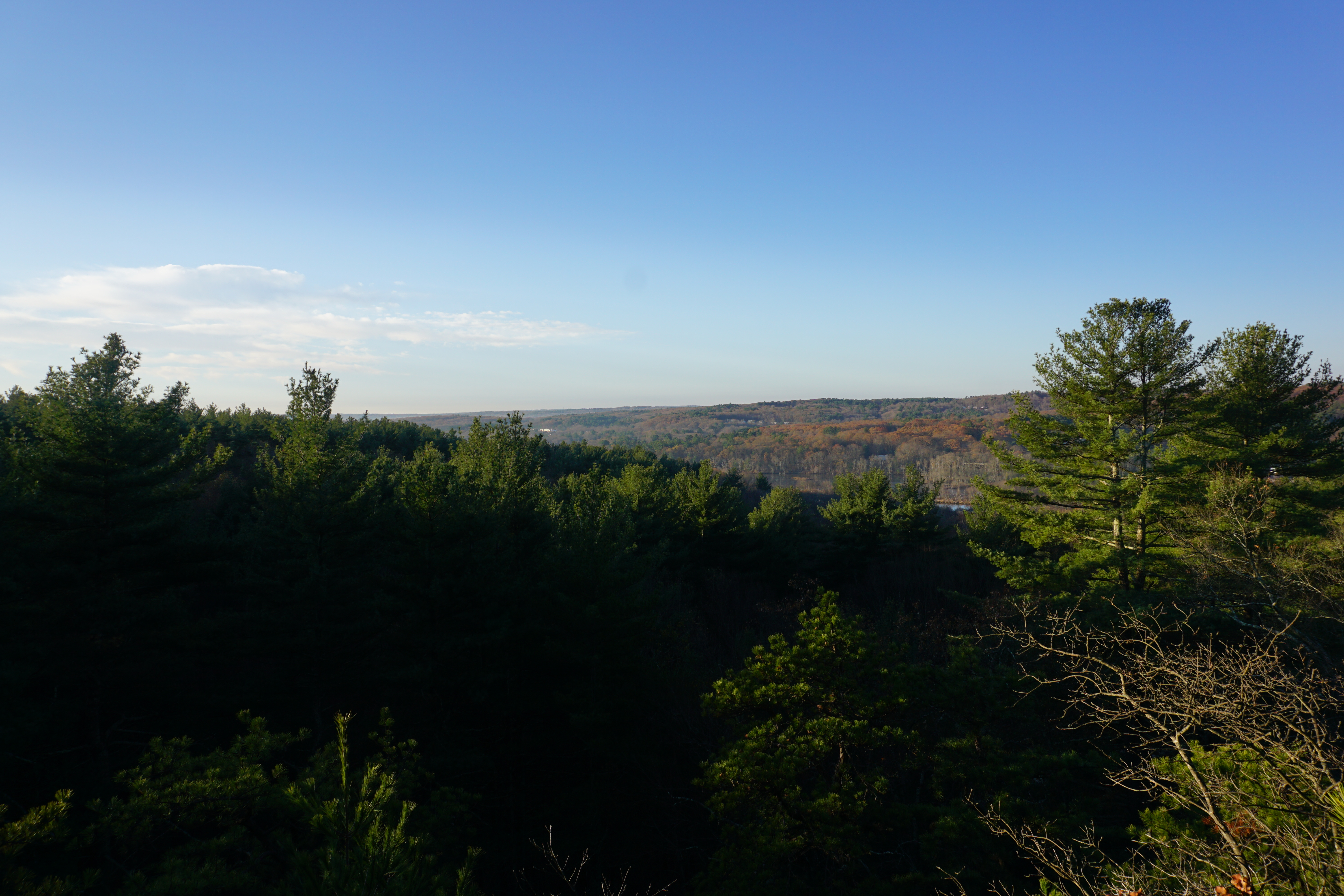
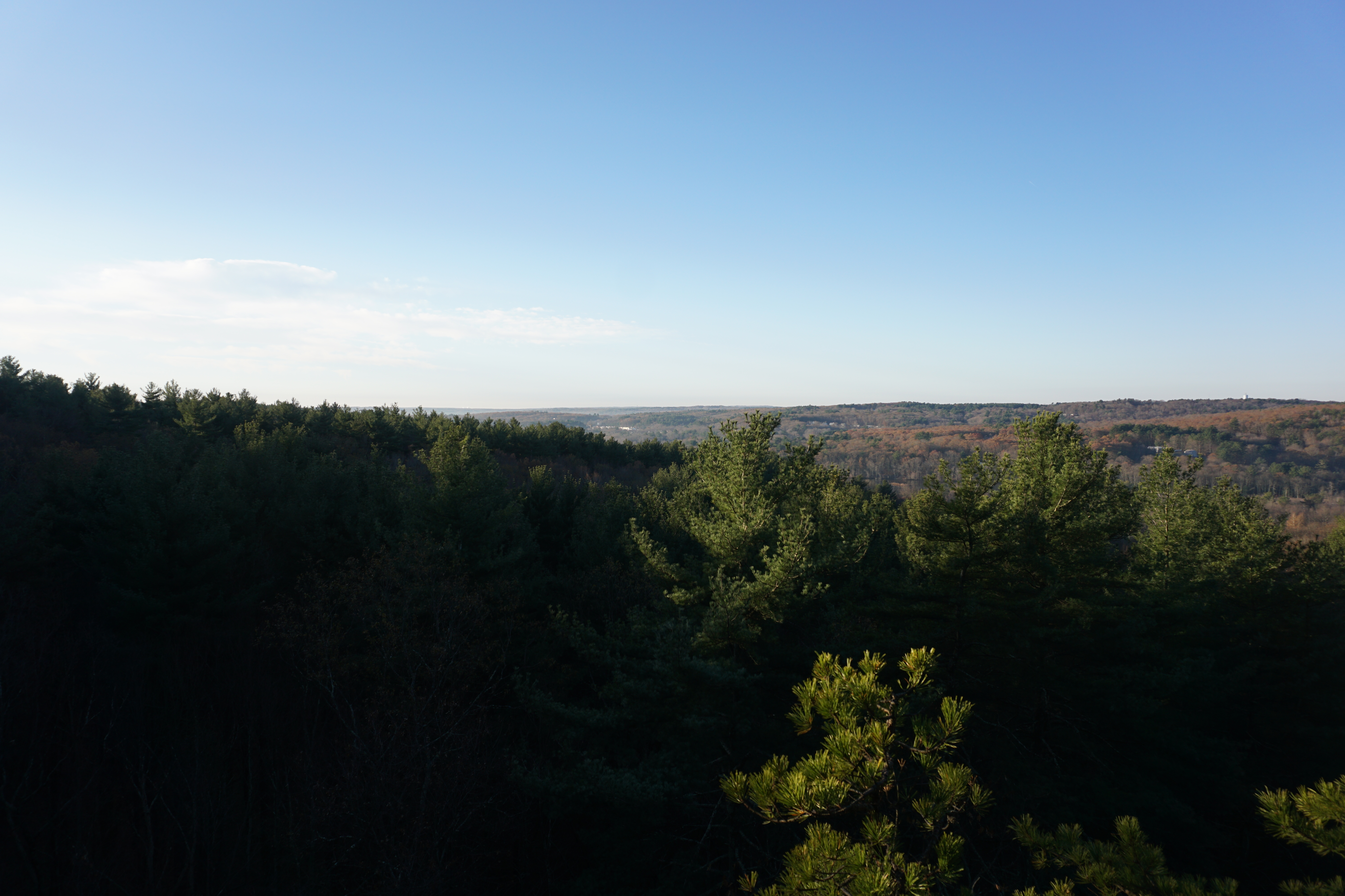
The view from the northern gate was pretty good,
although all I could find at the second supposed viewpoint was a partial view through the trees.
Definitely better than Perkins Farm though.

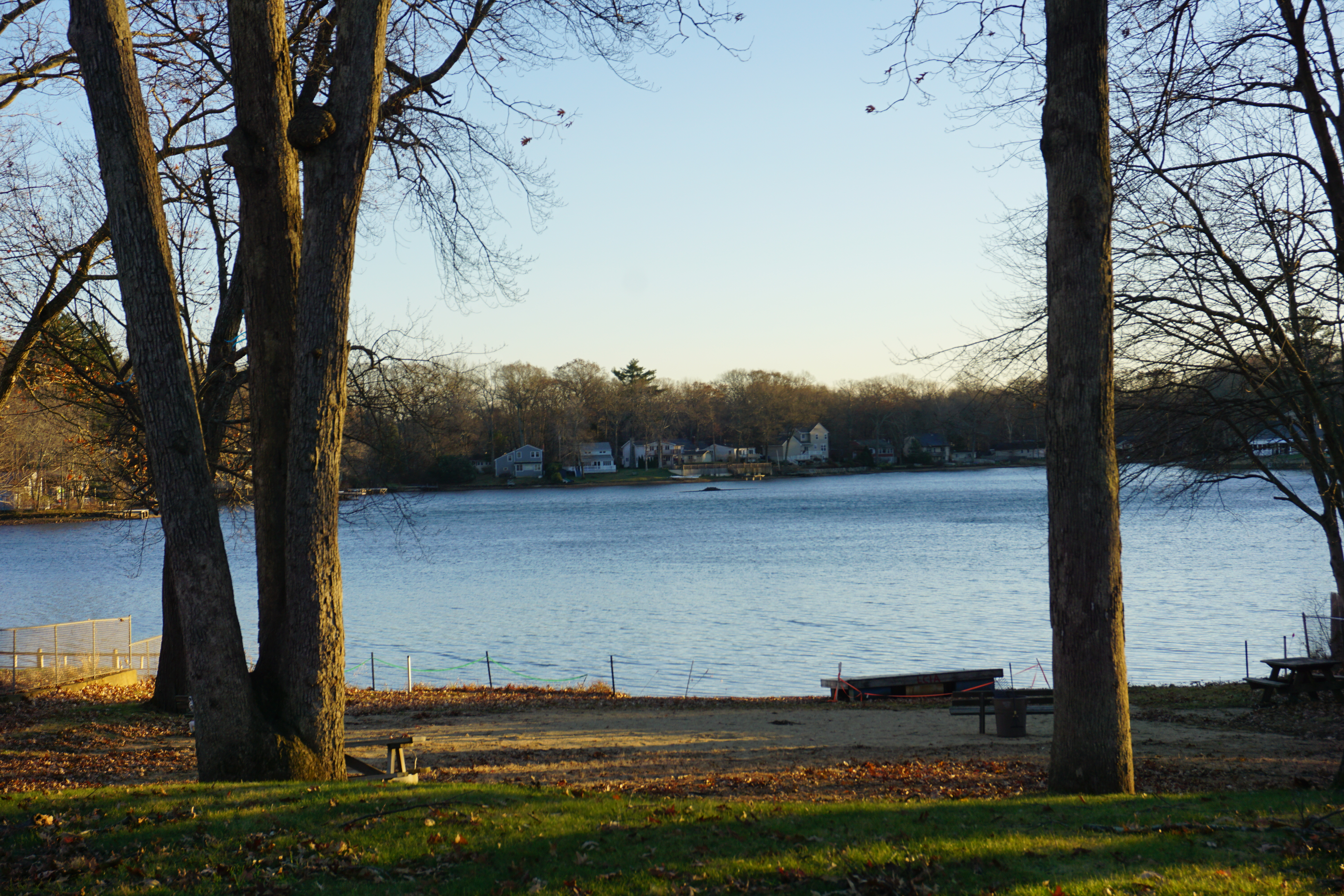
From here, it was on to my third hike in town, at Hadwen Park. The path I took here to get to Curtis Pond is shown below in pink.
The path to get a good view of the pond was really steep though.
Because of that, I won't recommend this place.

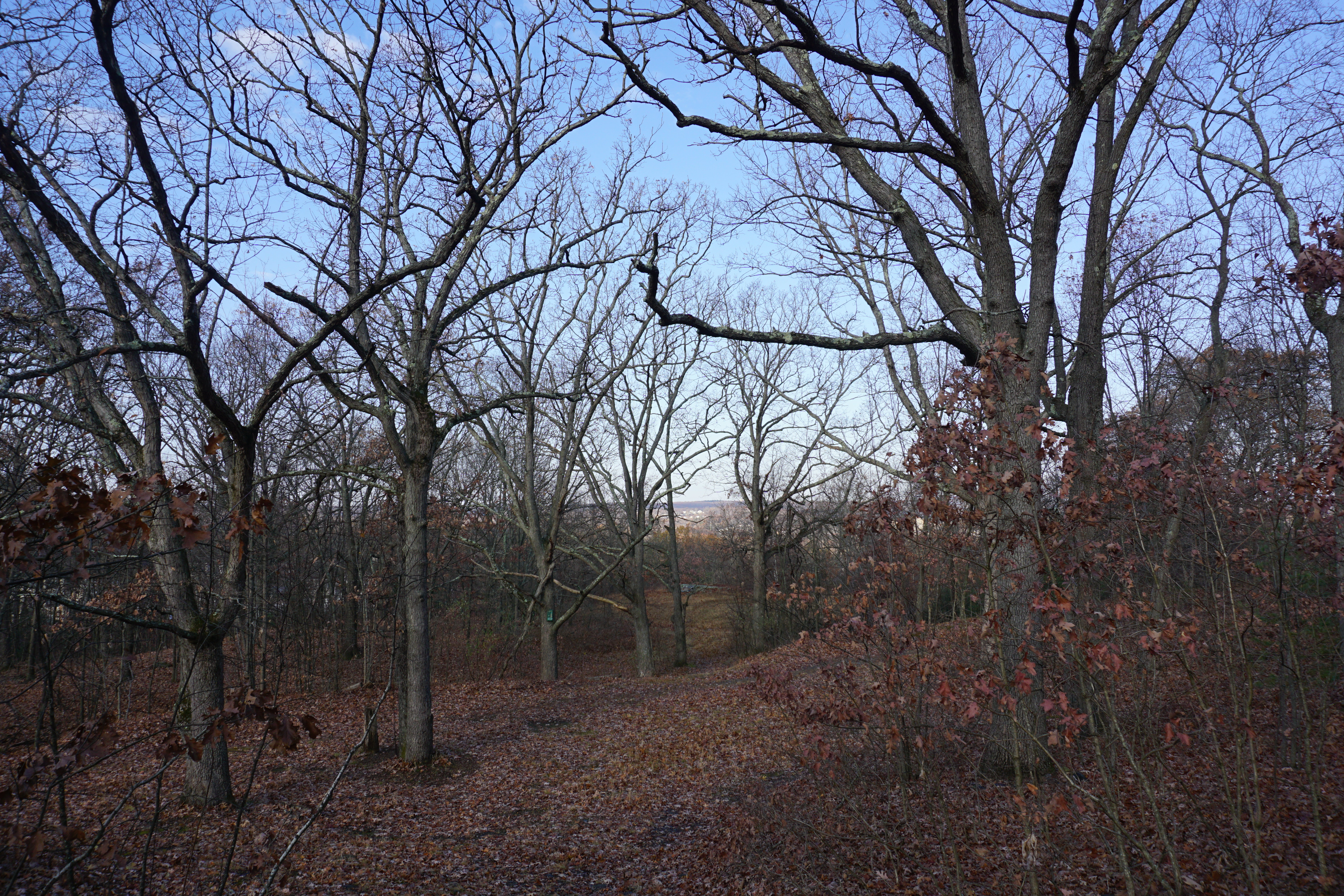
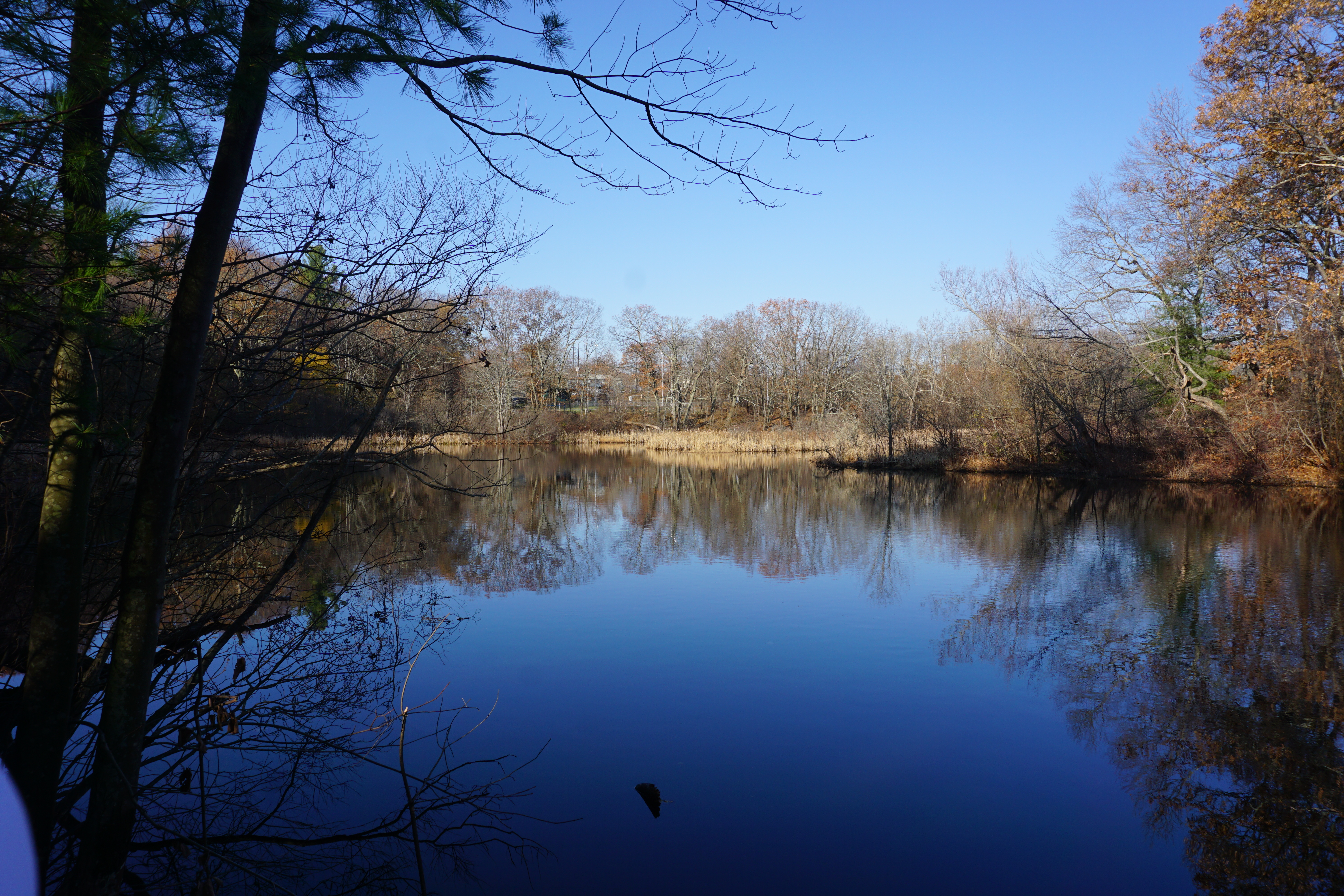
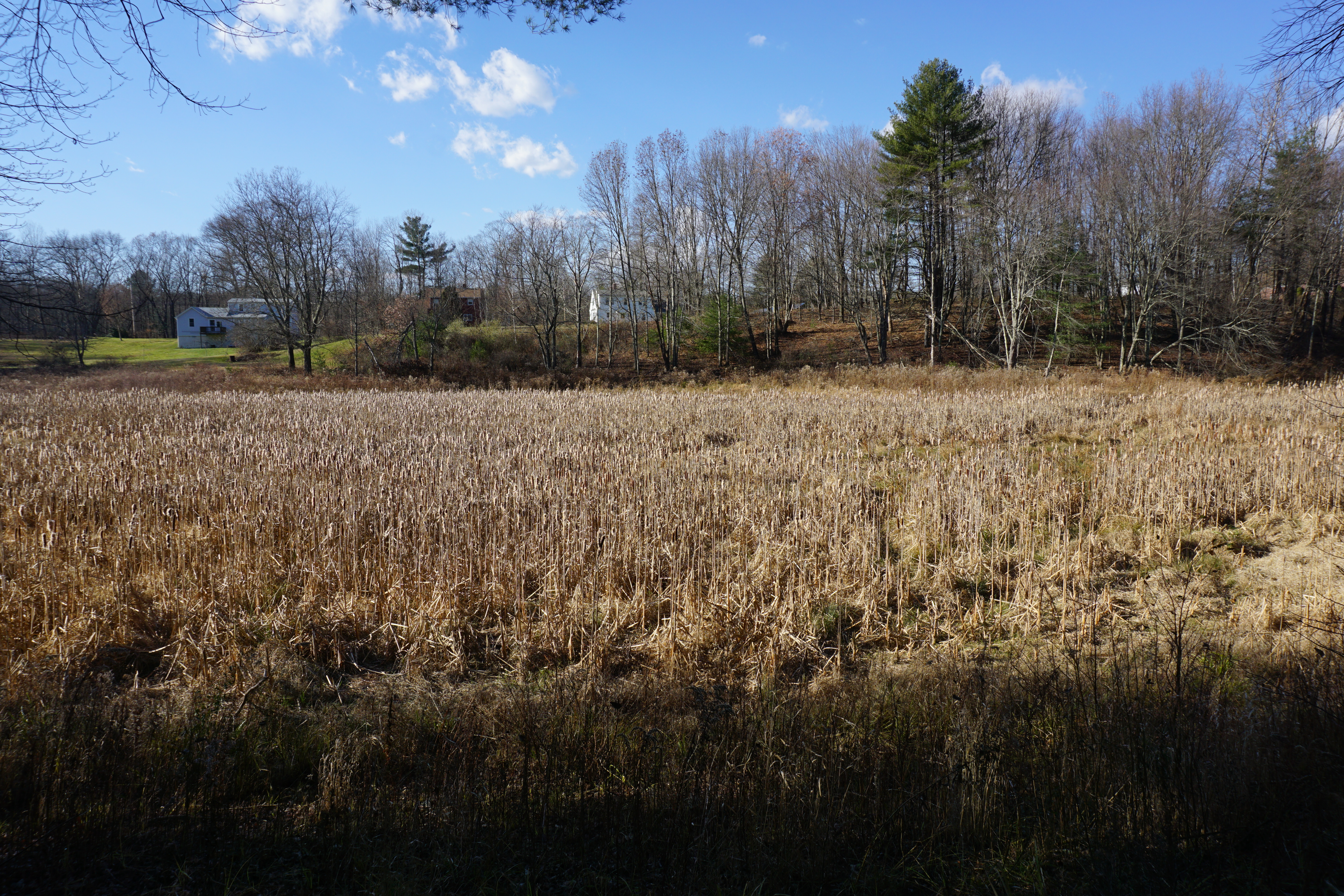
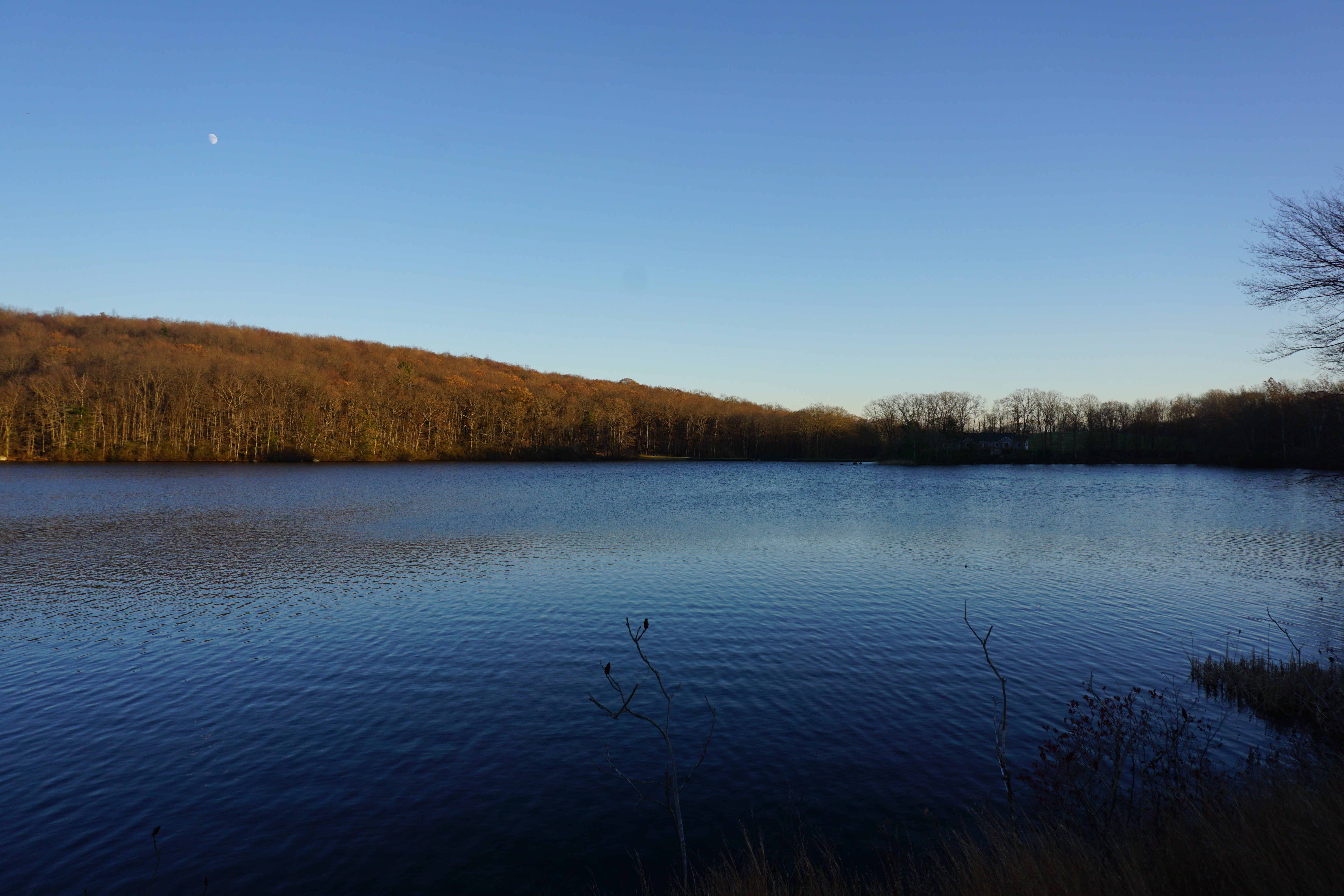
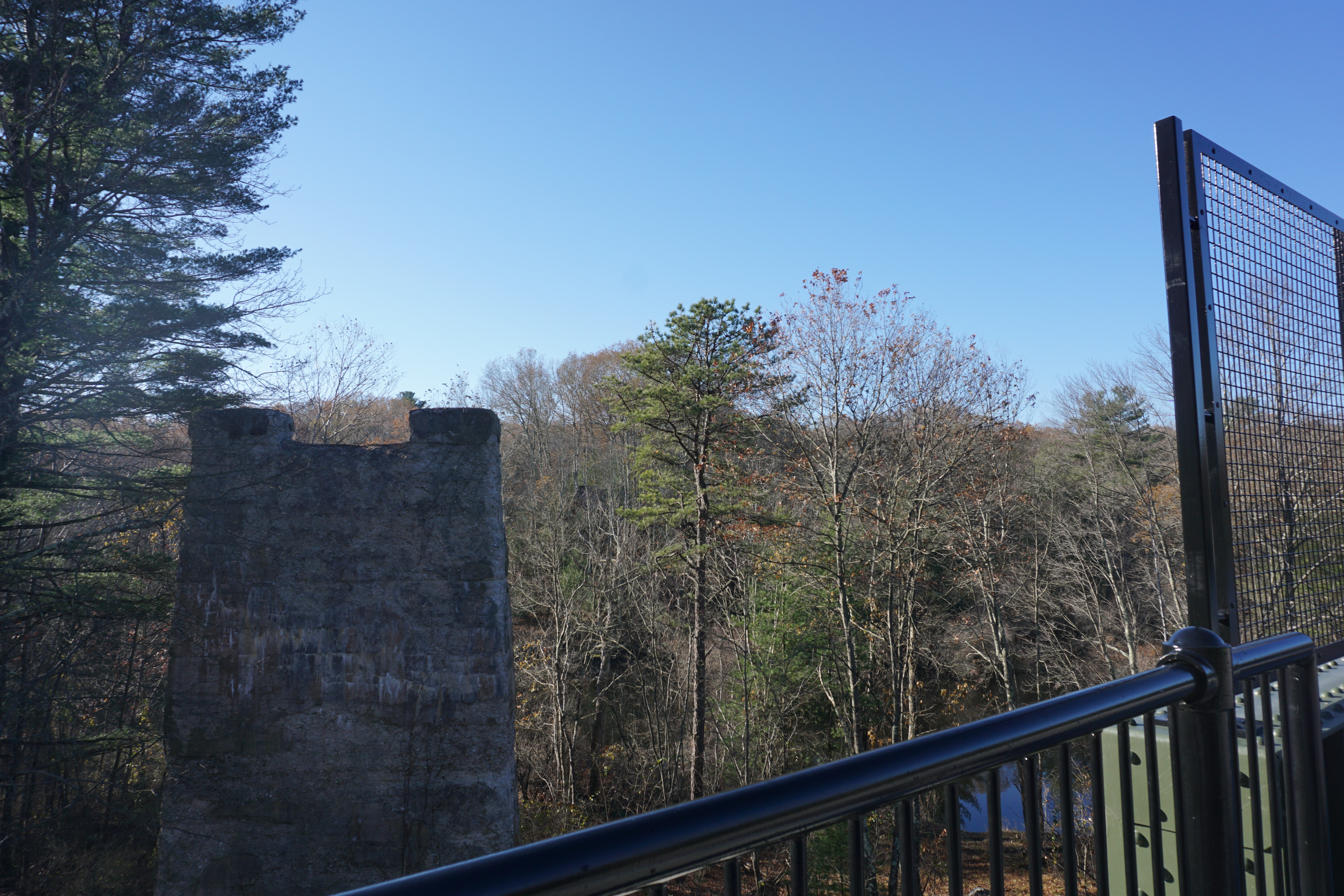
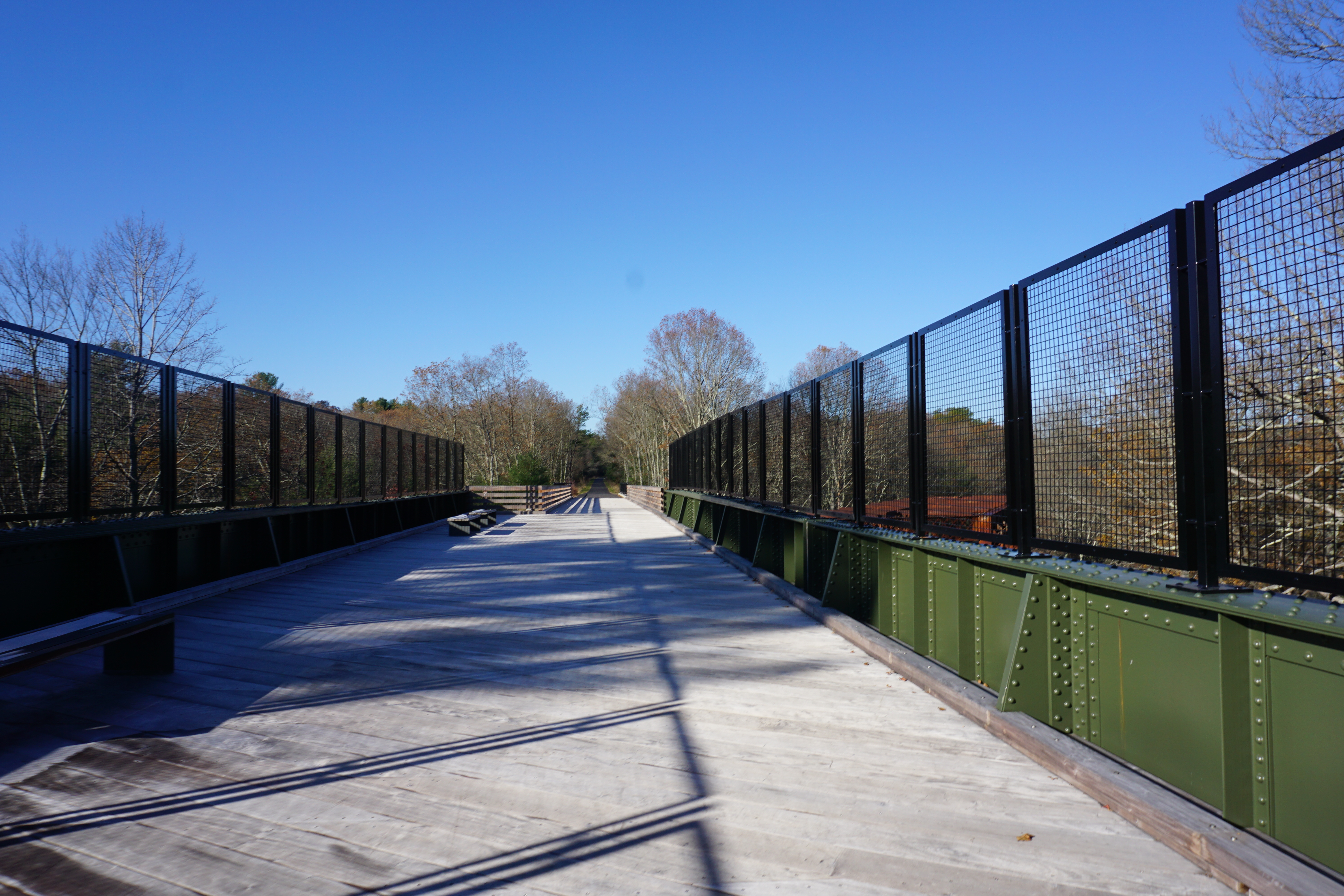
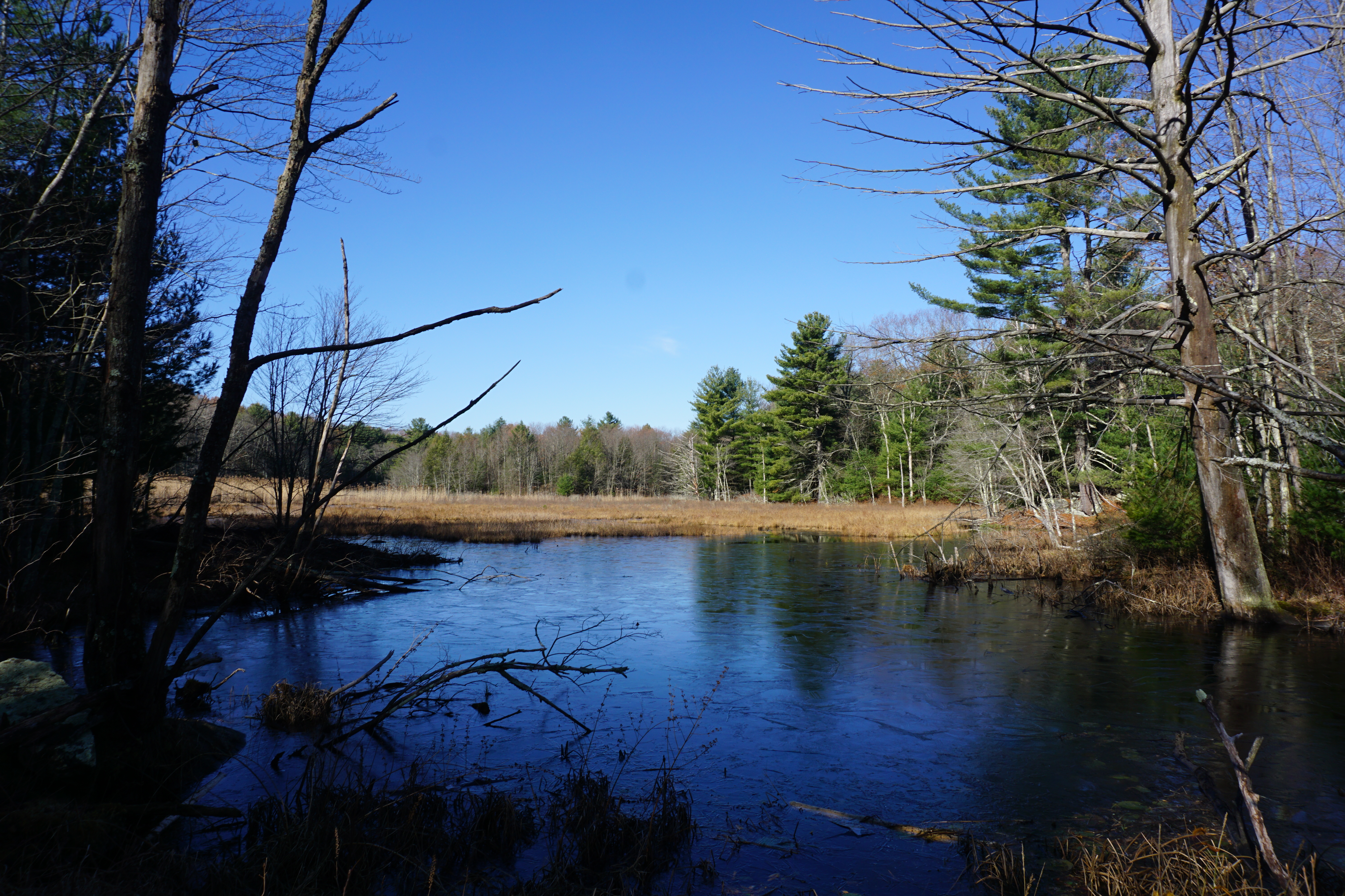
My next hike was in the town of Dudley, at the Slater Woods area. The path I took here to get to Peters Pond is shown below in pink.
I took a slight detour to see the first water body, which wasn't much.
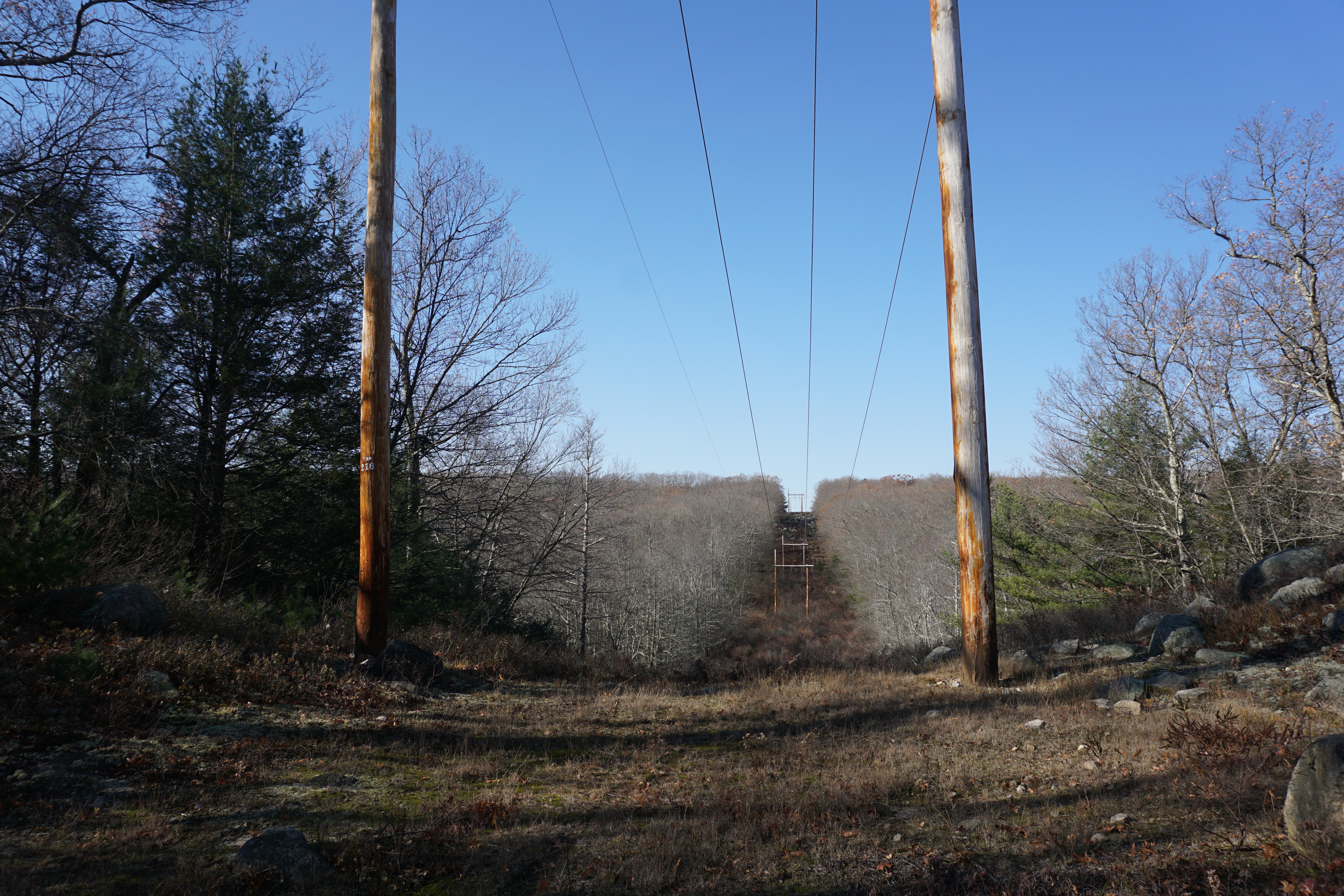
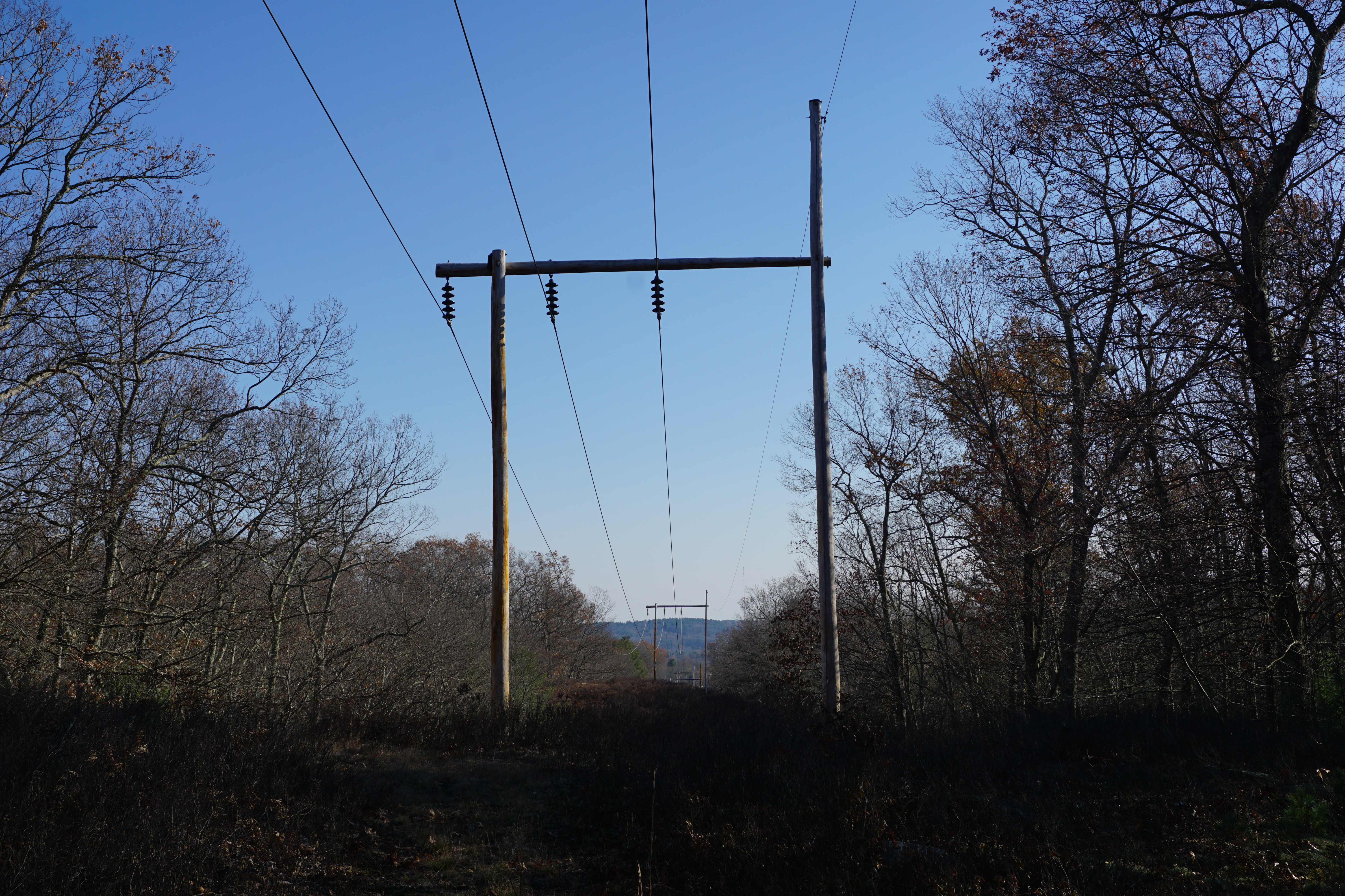
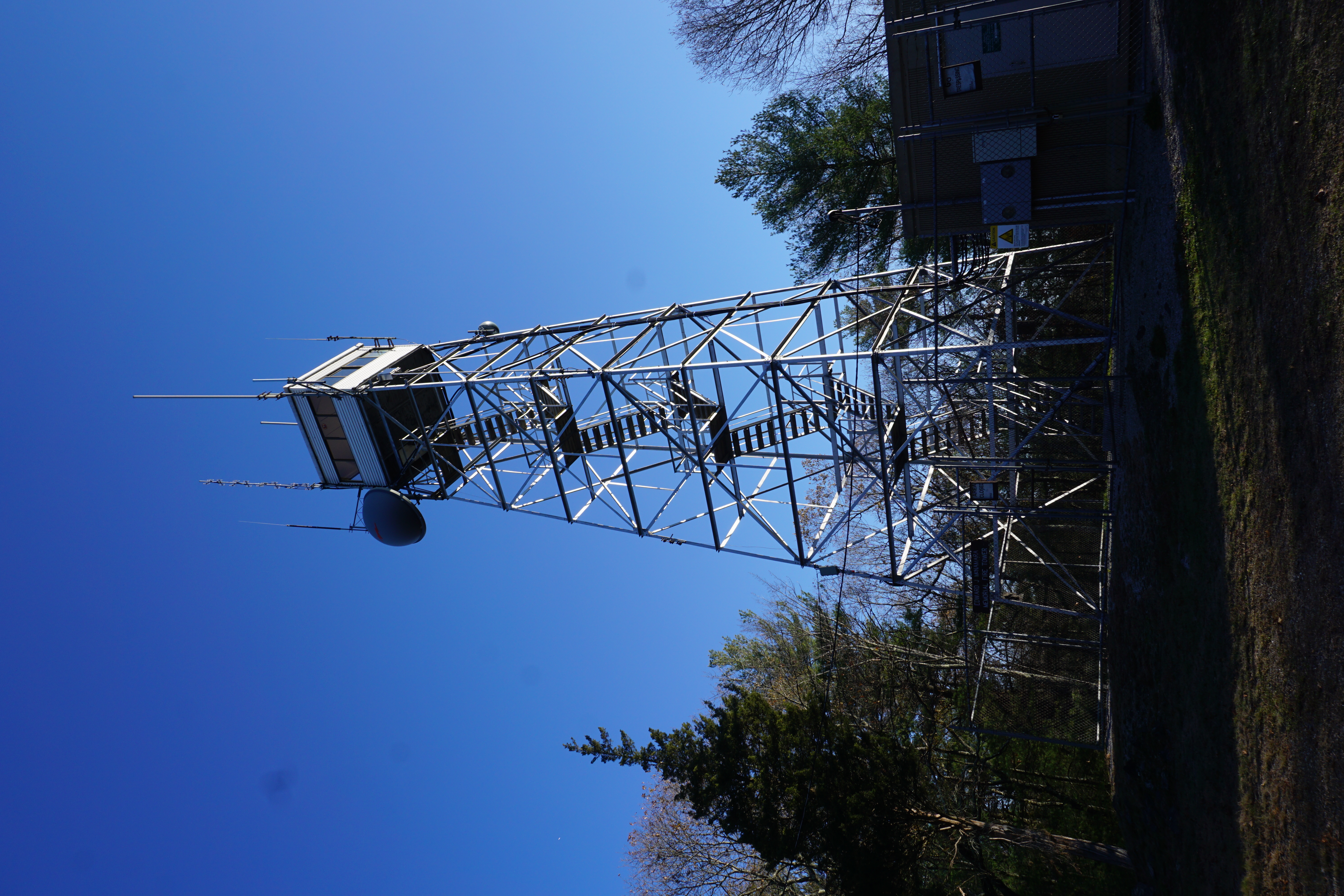
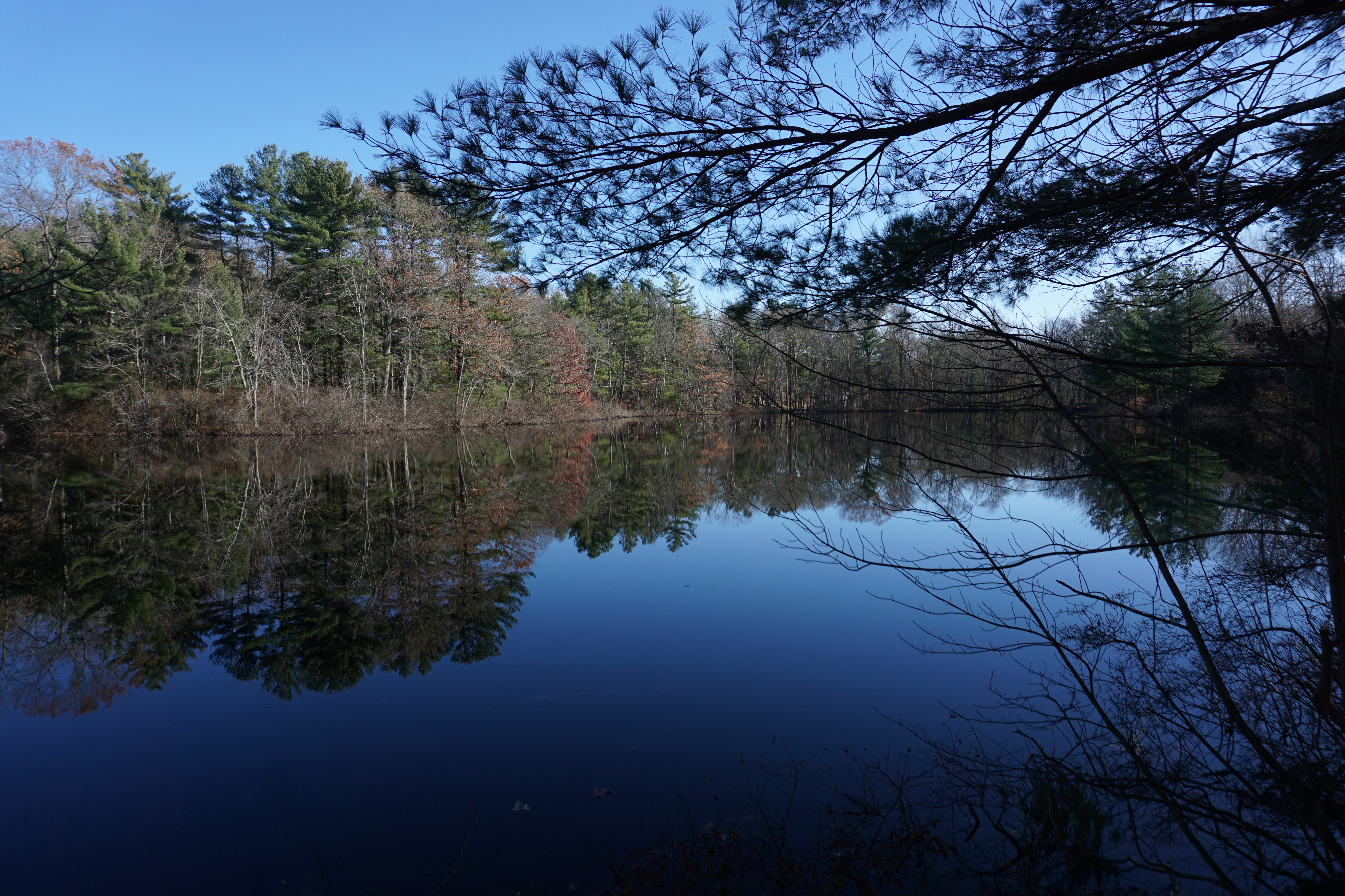
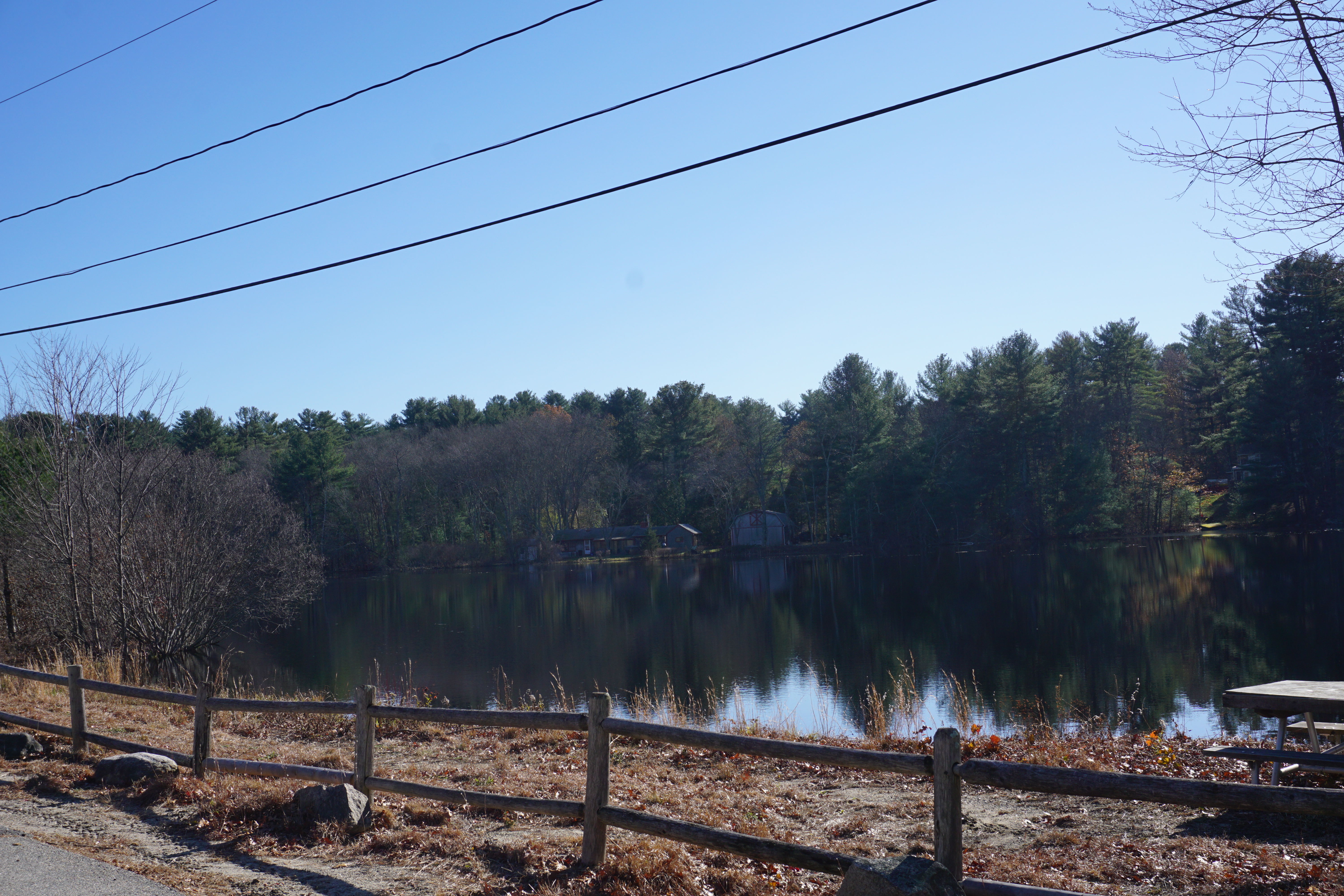
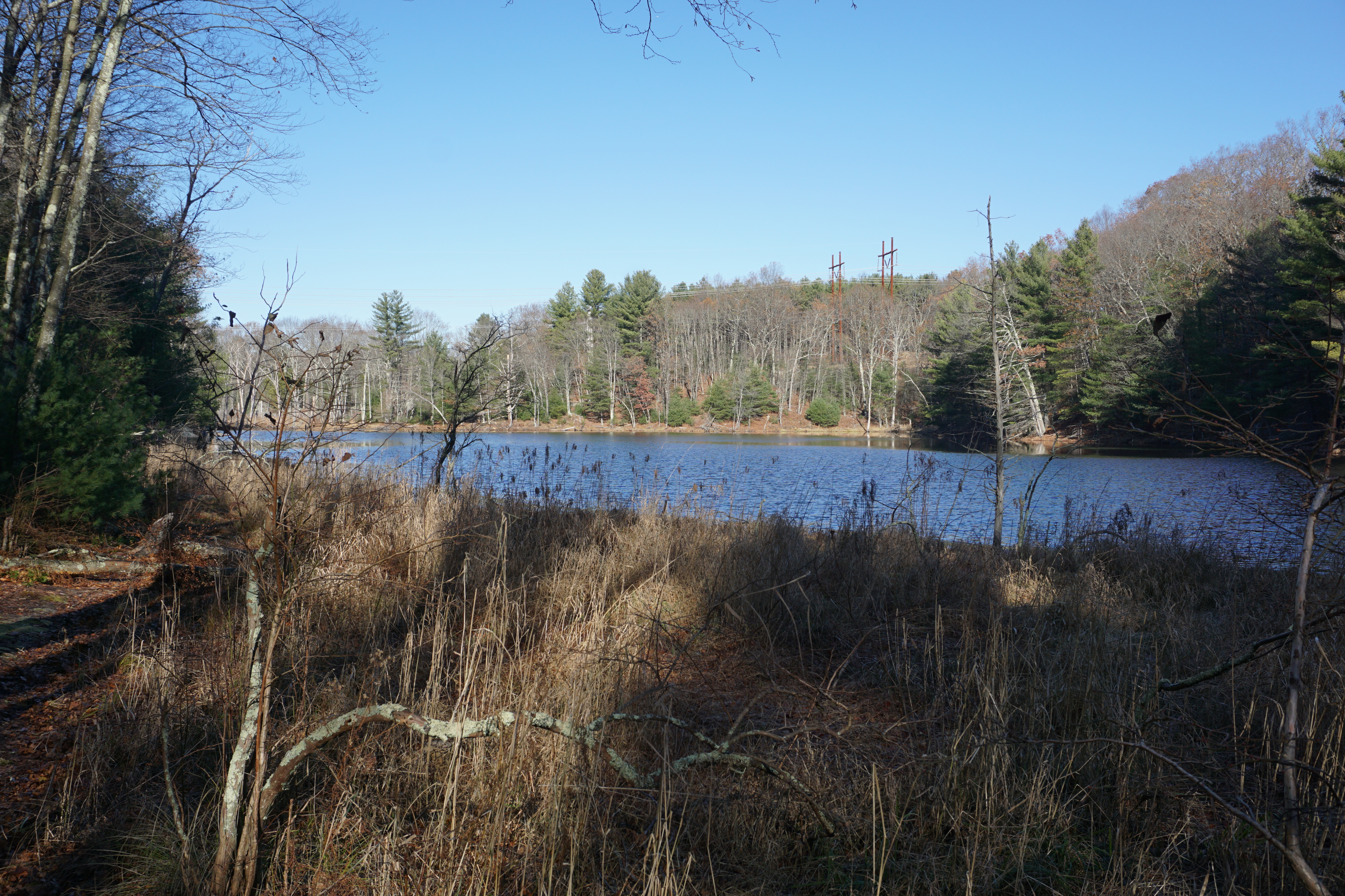
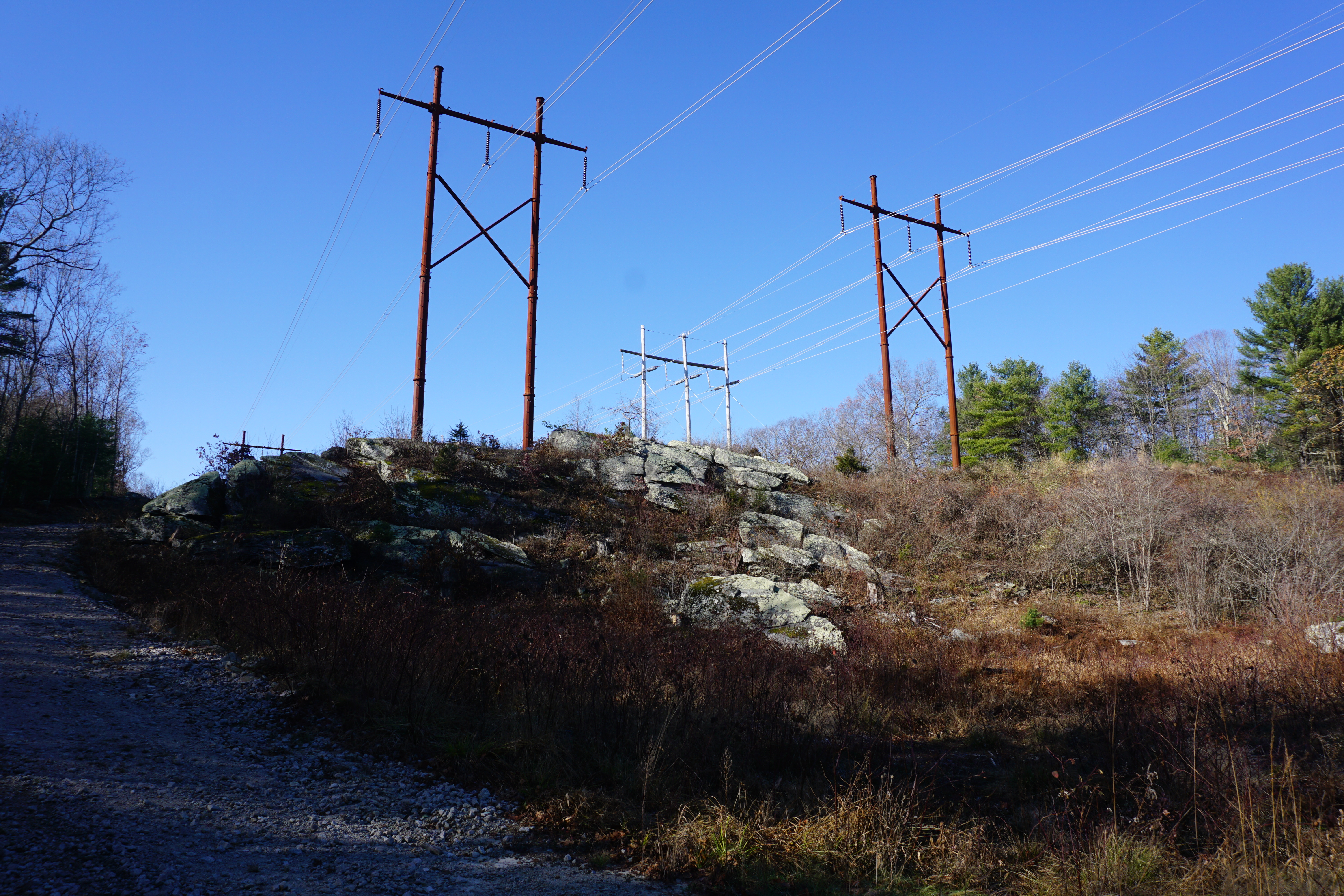
The path to the pond was starting to get a little overgrown, only becoming better when I reached the Hiland Park area, only thanks to the blue blazes along the way, with opportunistic deer ticks climbing up my jeans at one point. The views from the powerlines were just okay,
and that of Peter Pond weren't that great either.
To think I walked all that way for not much. Not coming back again.

I hoped for better at my next stop in town, the Tufts Branch Valley Wildlife Sanctuary. The path I took here is shown below in pink.
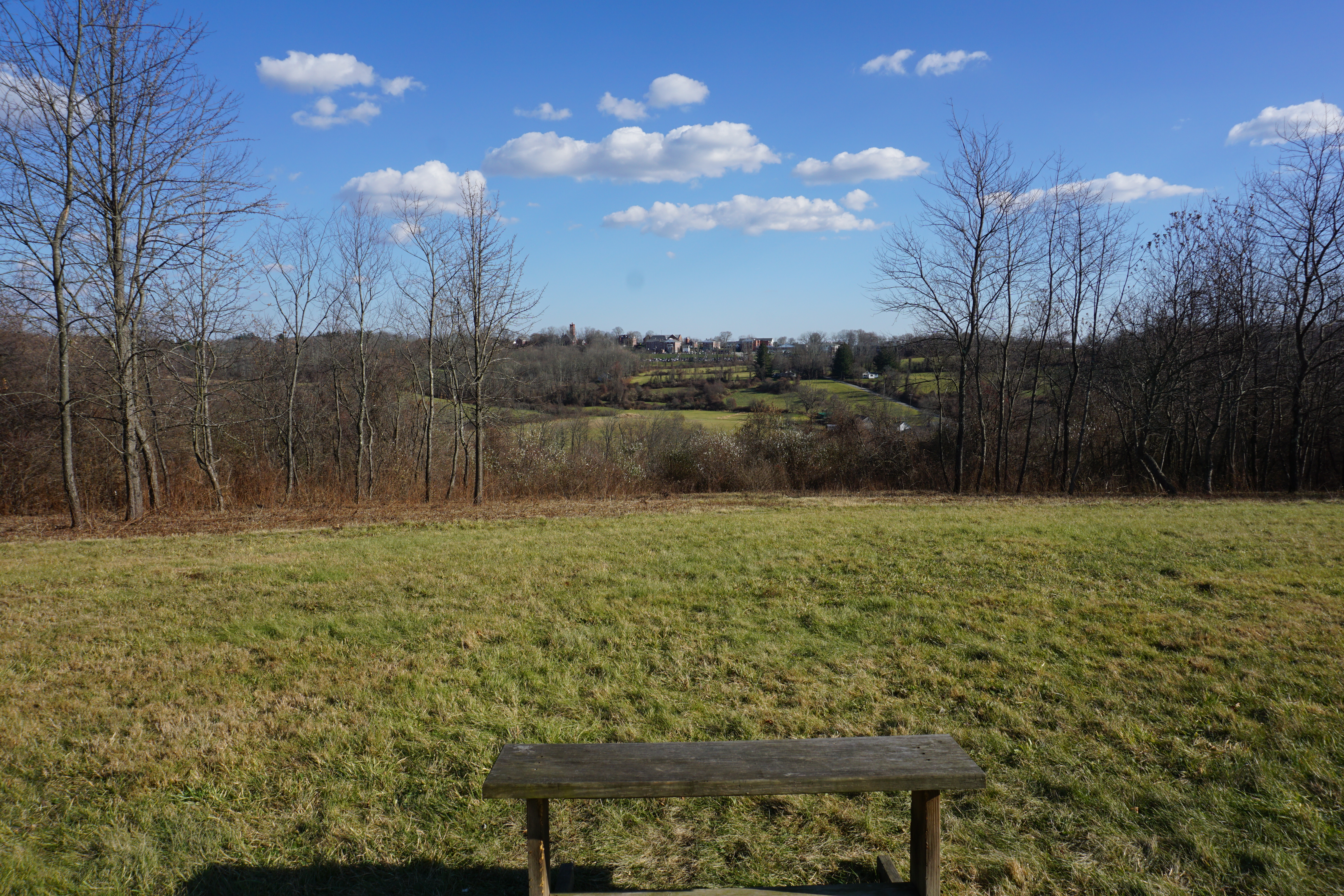
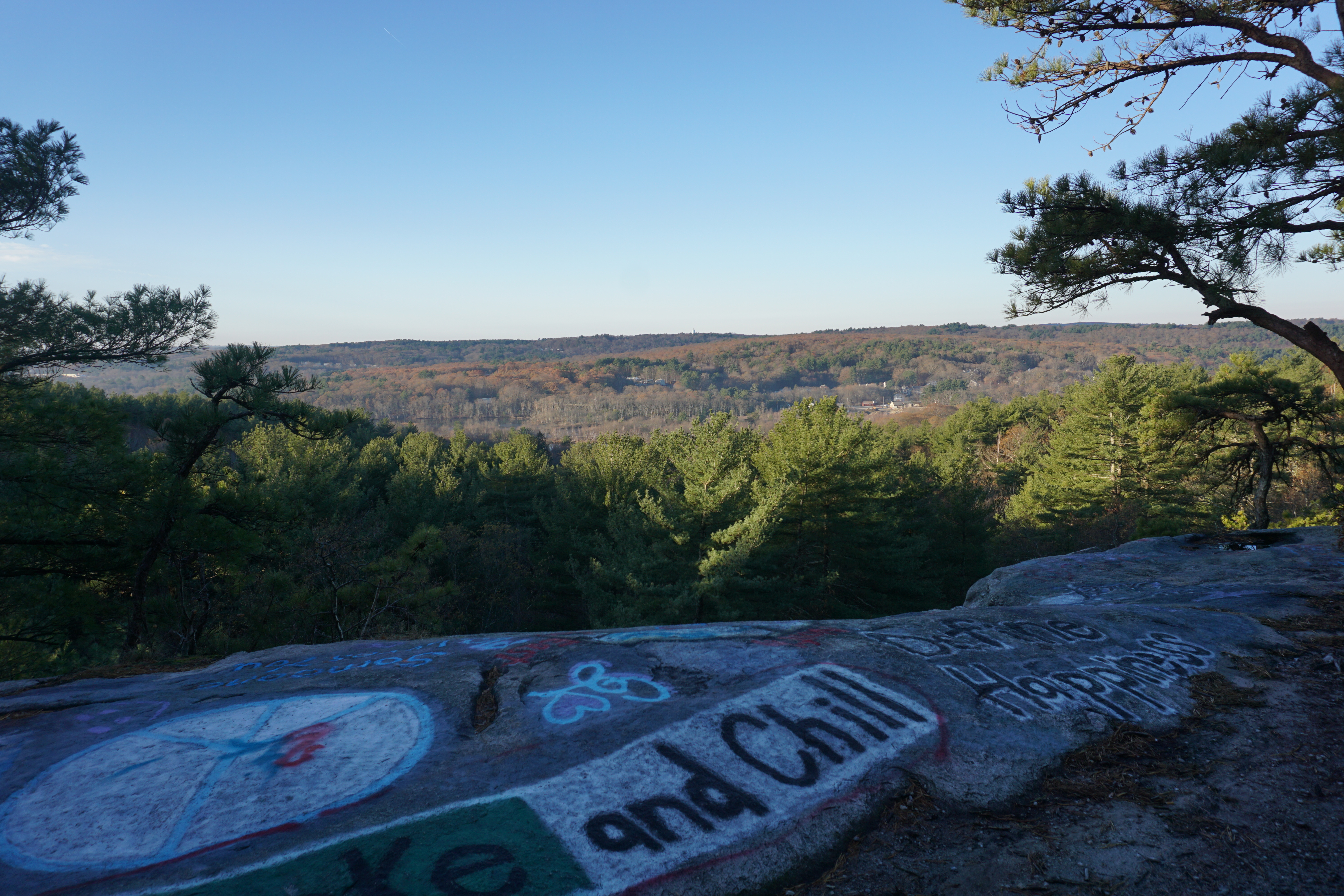
The walk to the top of the knoll was short, but the reward was huge with great views from the meadow there.

Looking at Nichols College in the distance.
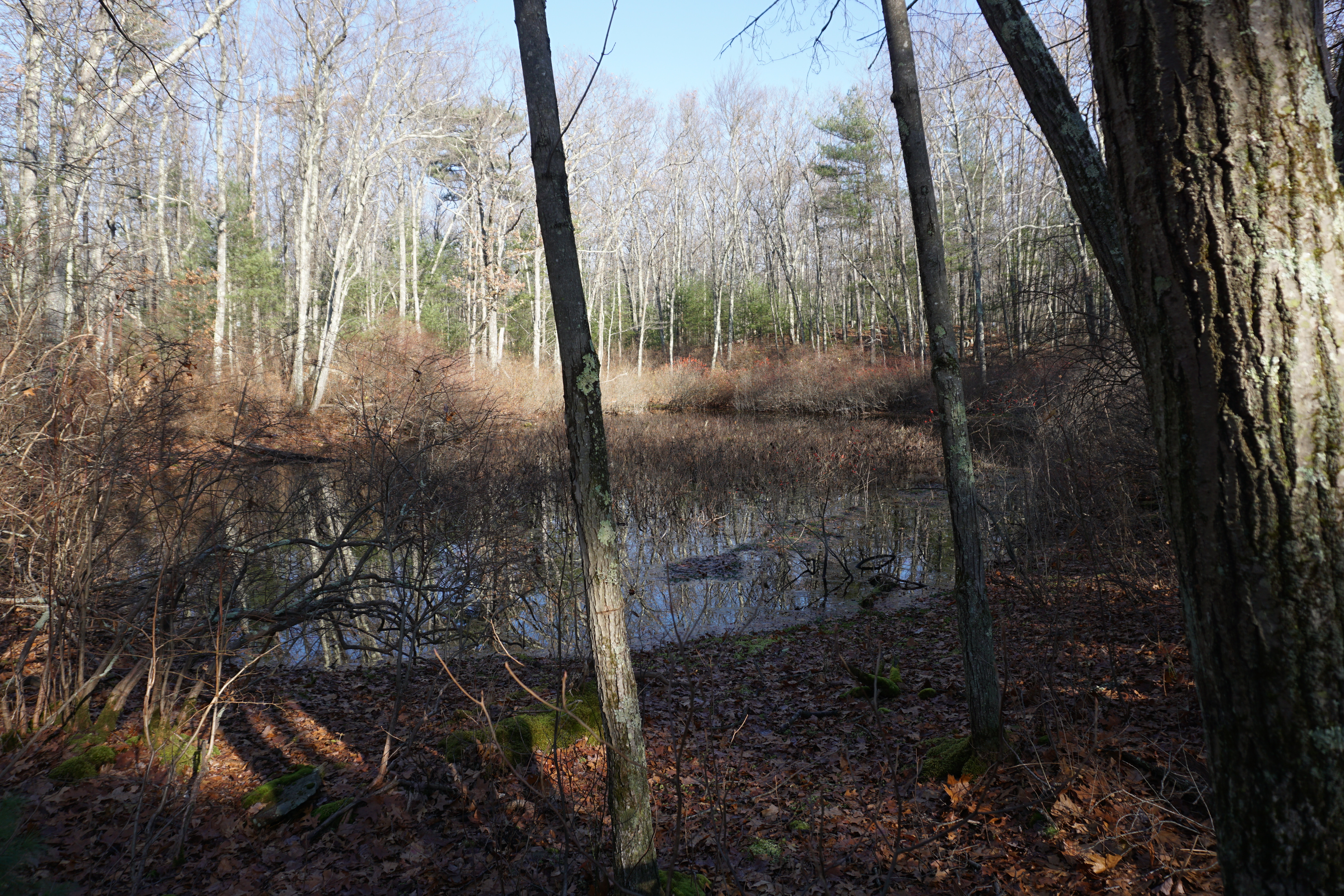
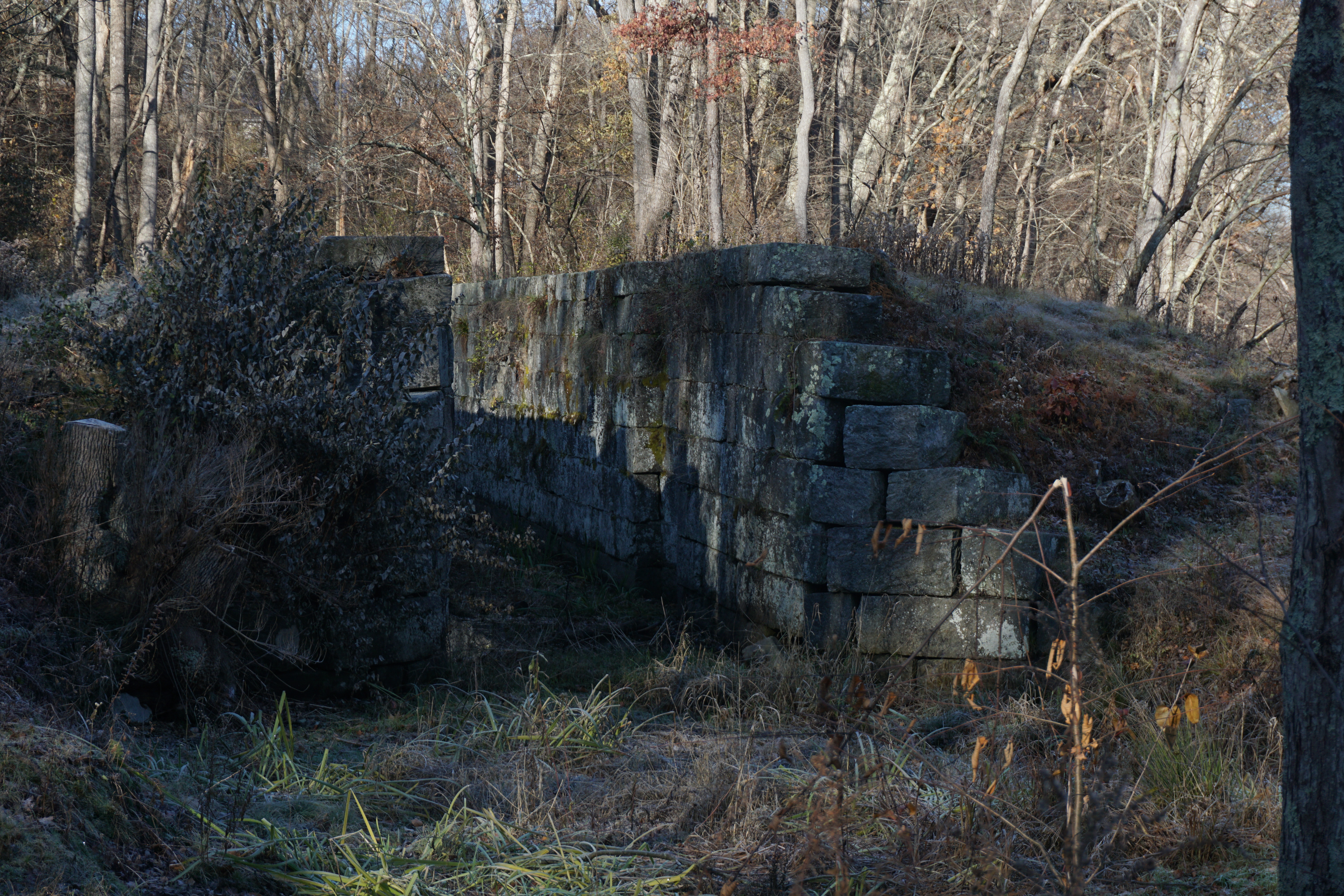
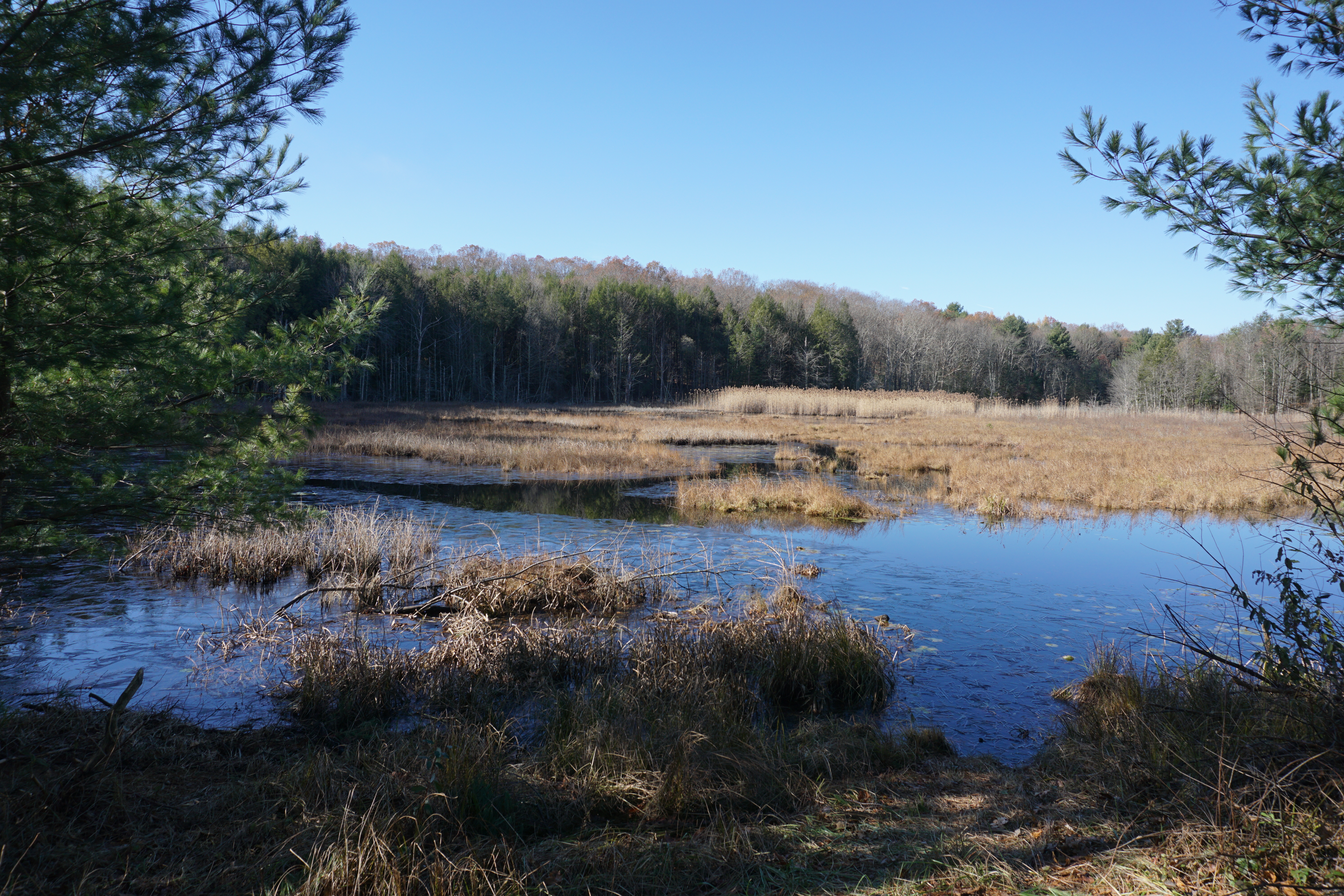
My final hike in Dudley was at the Wieloch Woods. The path I took here is shown below in pink.
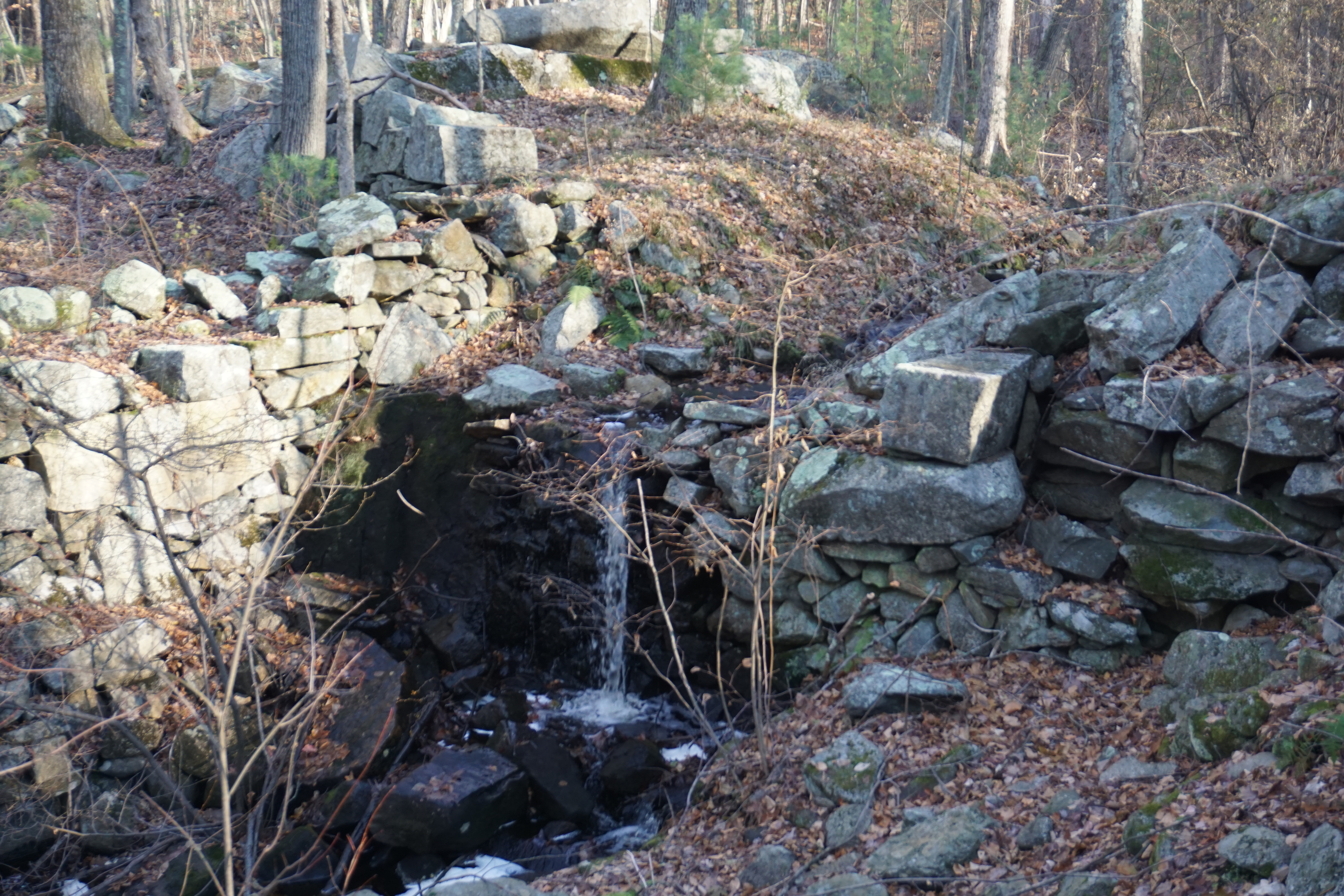
The view of the old Wieloch Pond, which is now a wetland with the removal of the dam, was just alright,
while there were no views to be had from the top of the hill here. Not coming back again.

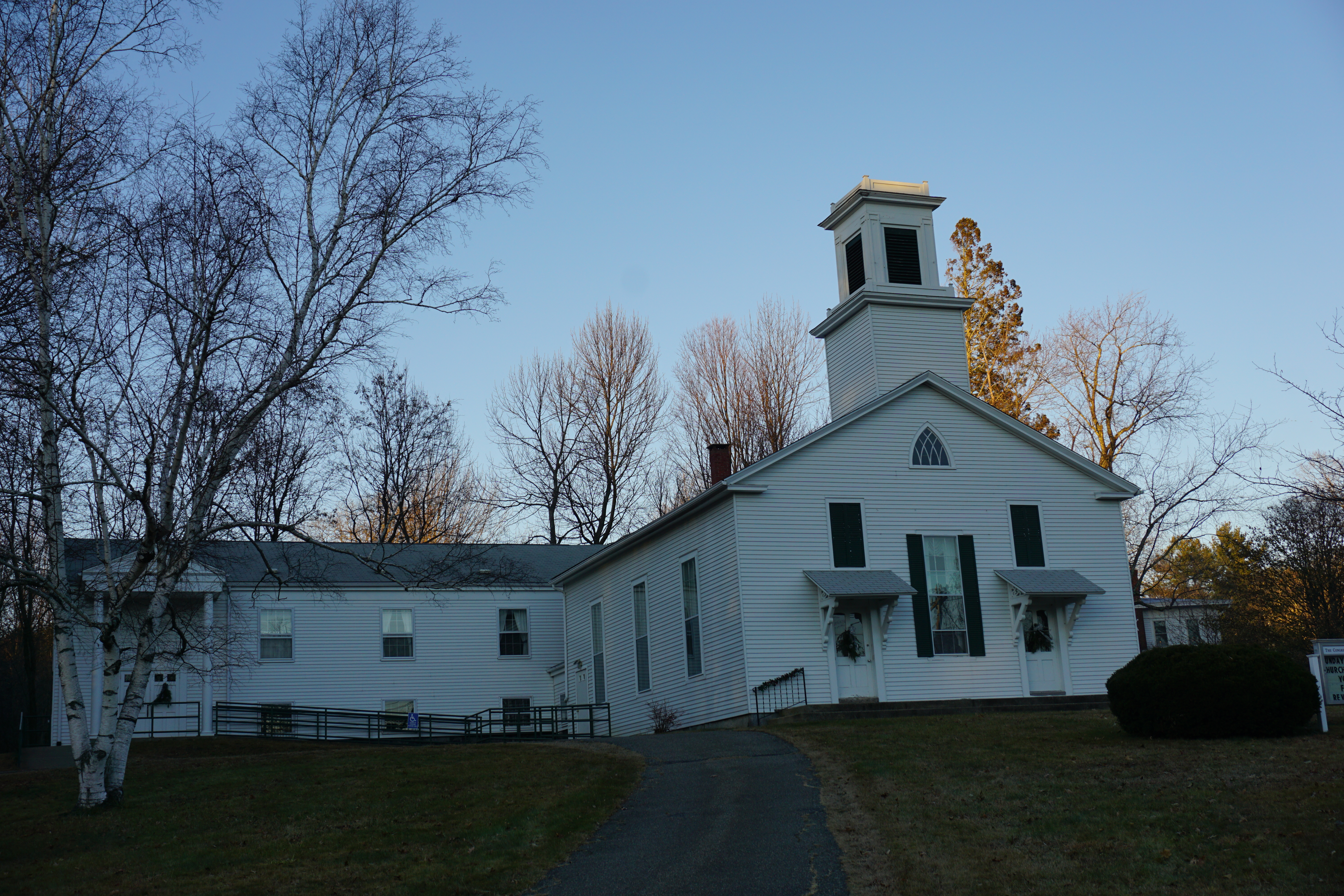
At this point, I decided to grab a bite here before proceeding into Connecticut for the rest of the day, getting Chinese takeout from 
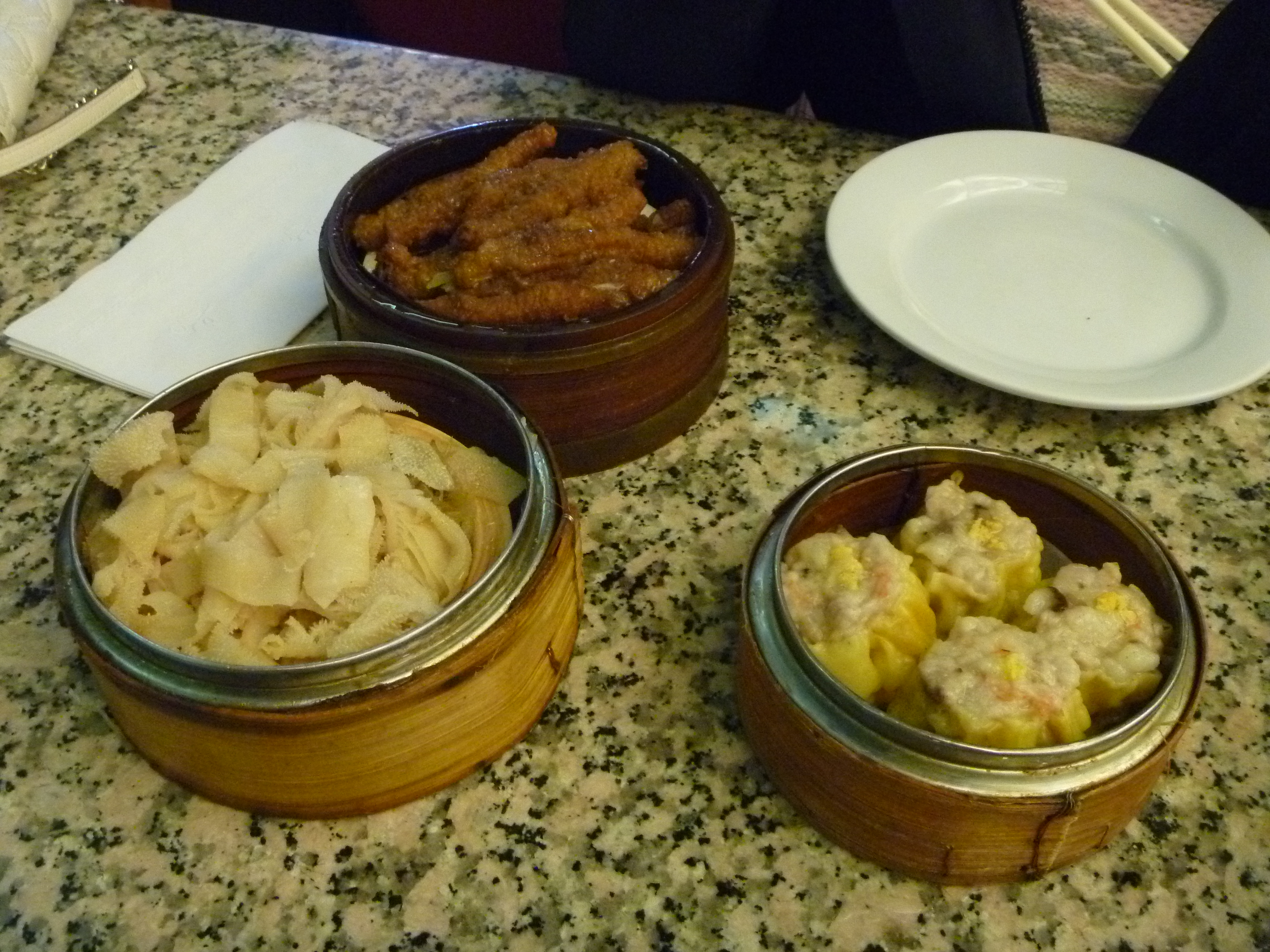
Yummy Asian Fusion Cuisine, a bar restaurant which I thought would just be a typical small storefront. I got the General Tzuo's Chicken which came with Chicken Fingers and Pork Fried Rice.
The rice was burnt, while the chicken fingers were made better with the sauce from the main dish. Thankfully the main dish itself was not bad.

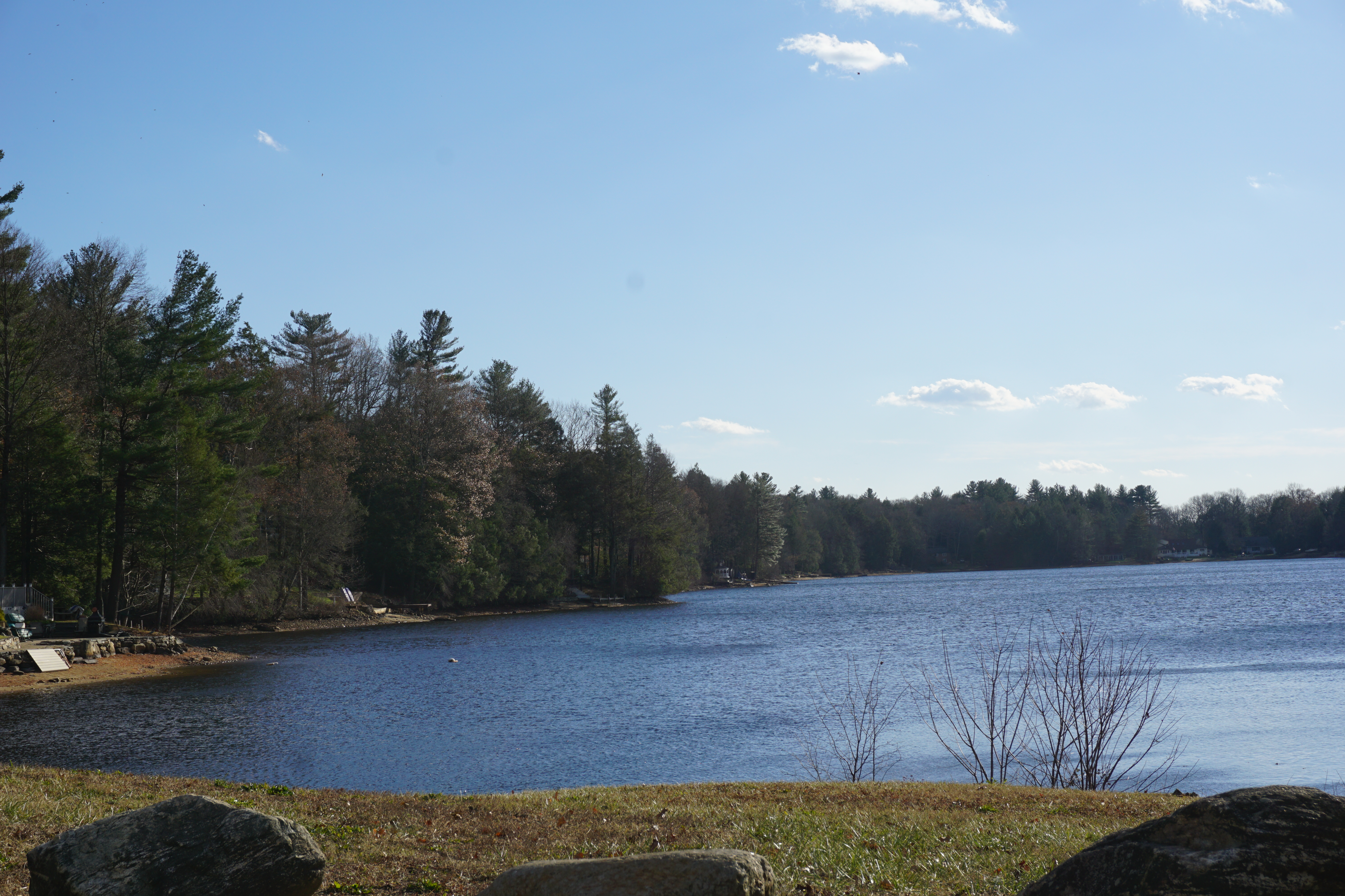
From here, I headed into Woodstock CT,
Witches Woods Lake
then Eastford CT,
Eastford Baptist Church
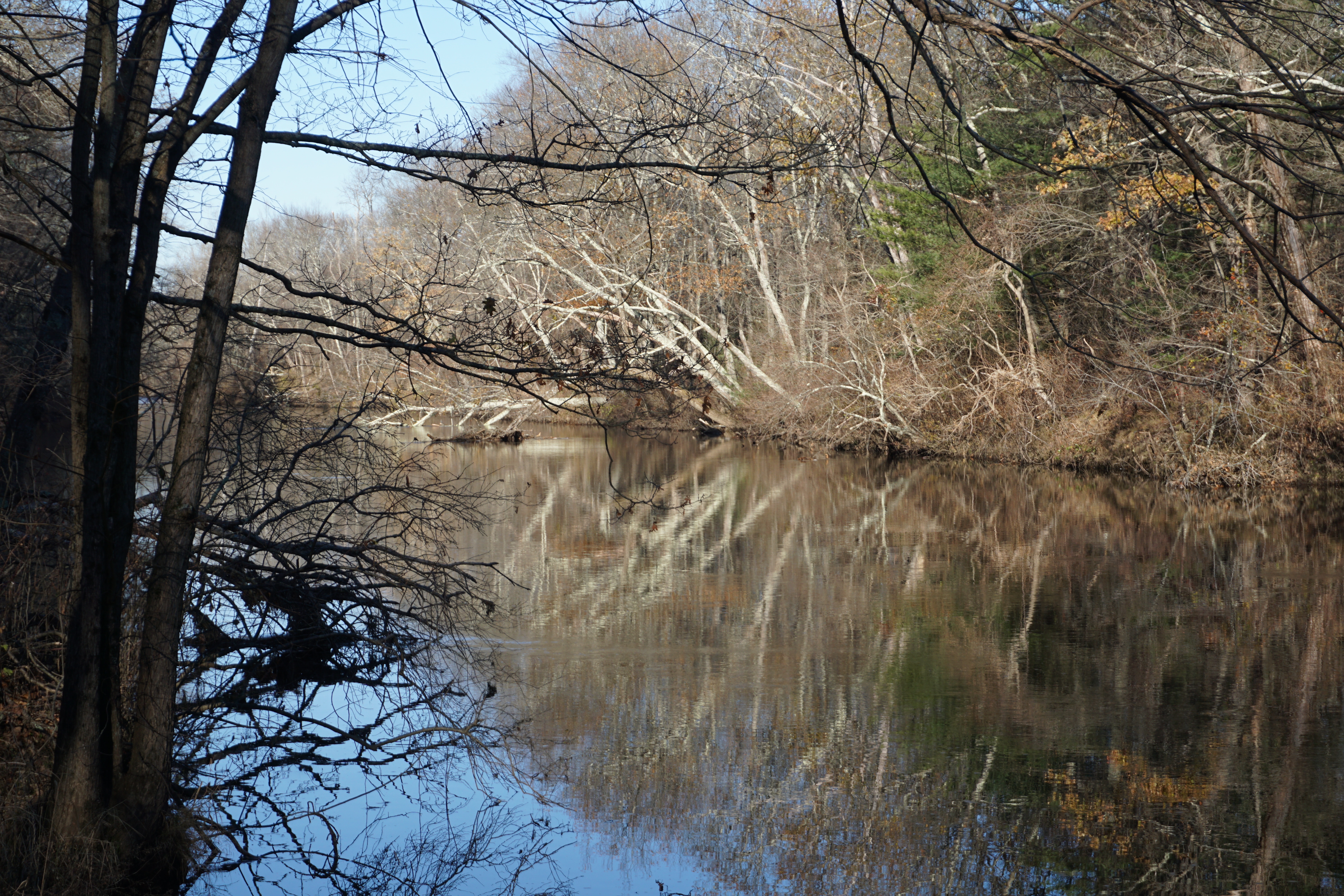
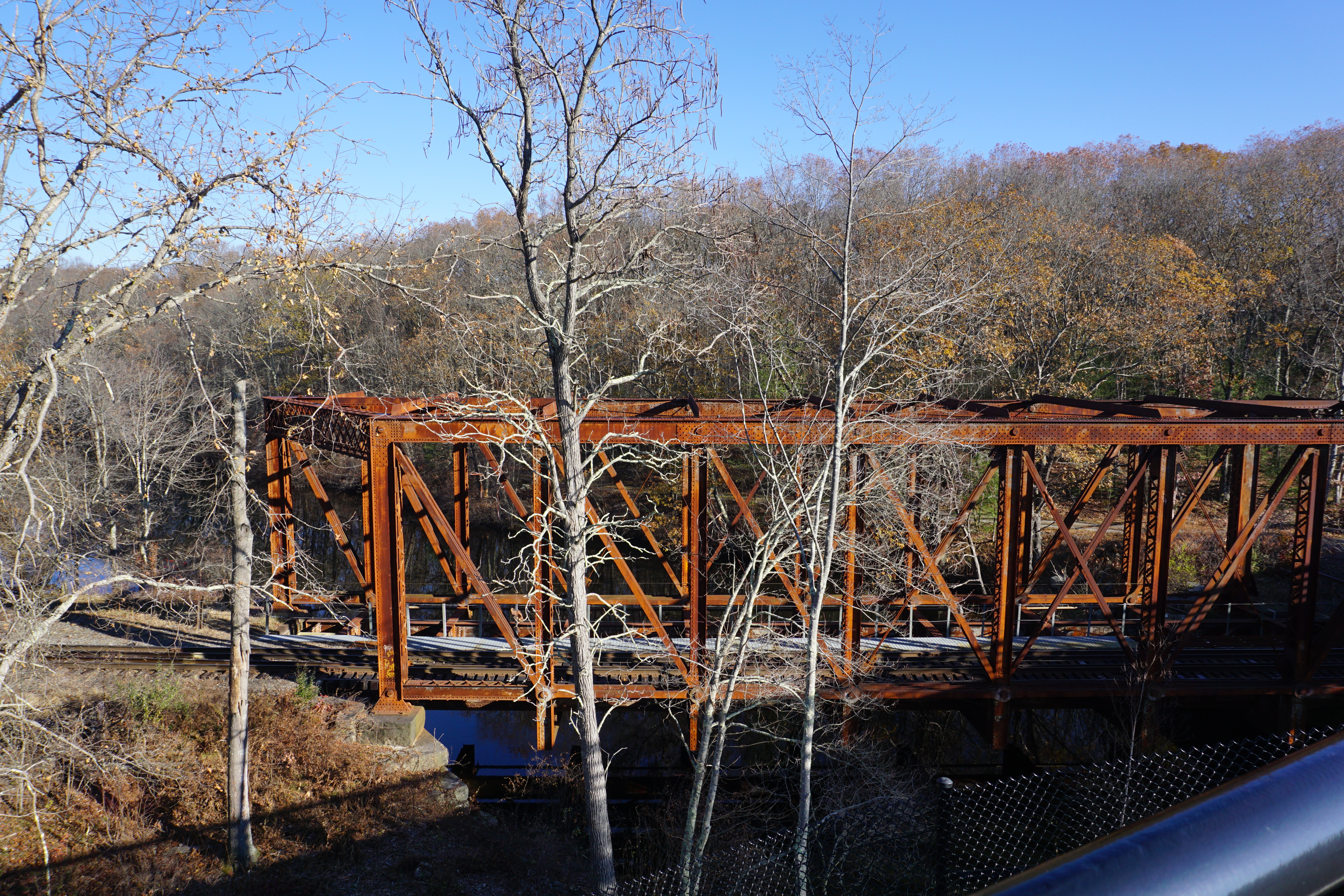
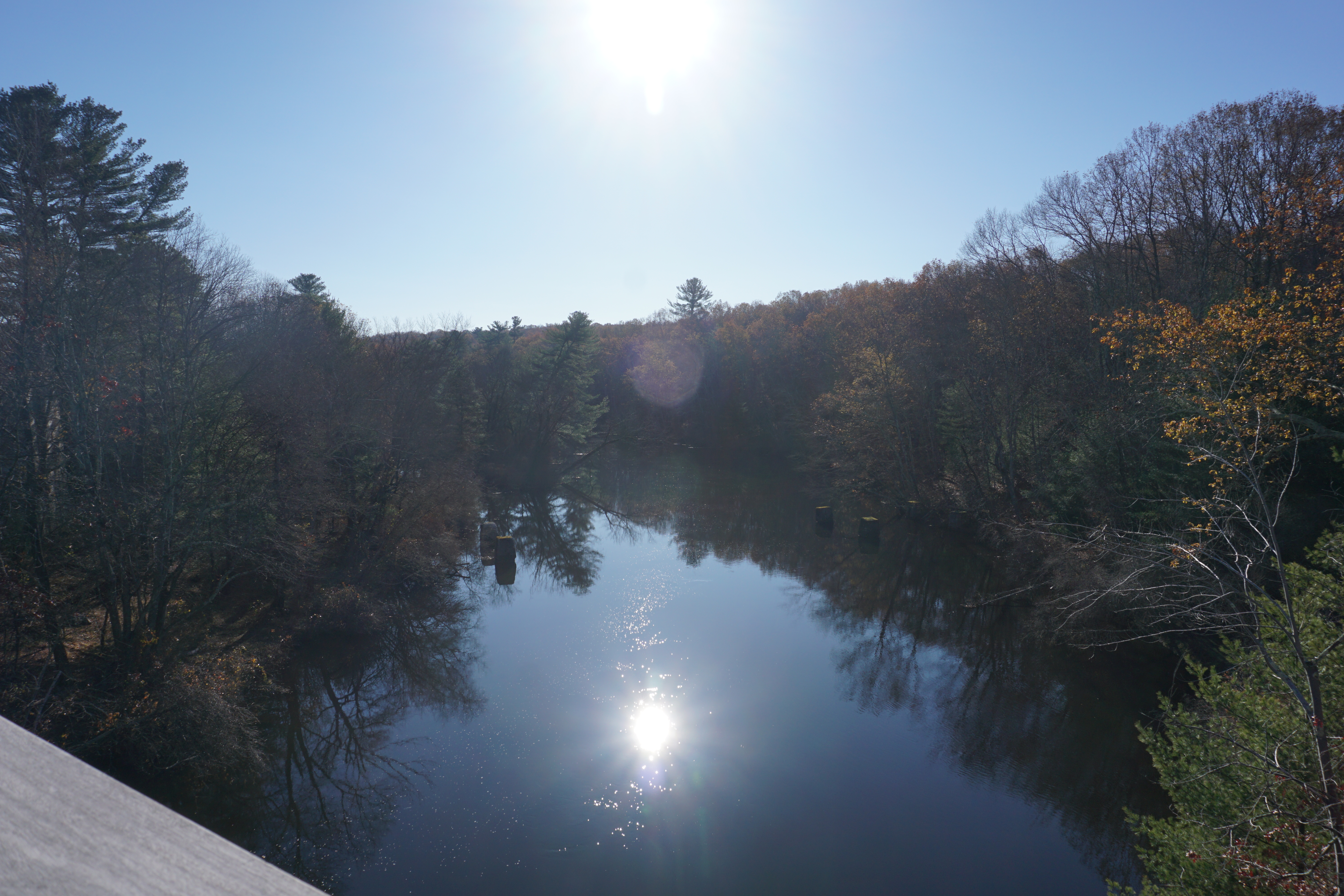
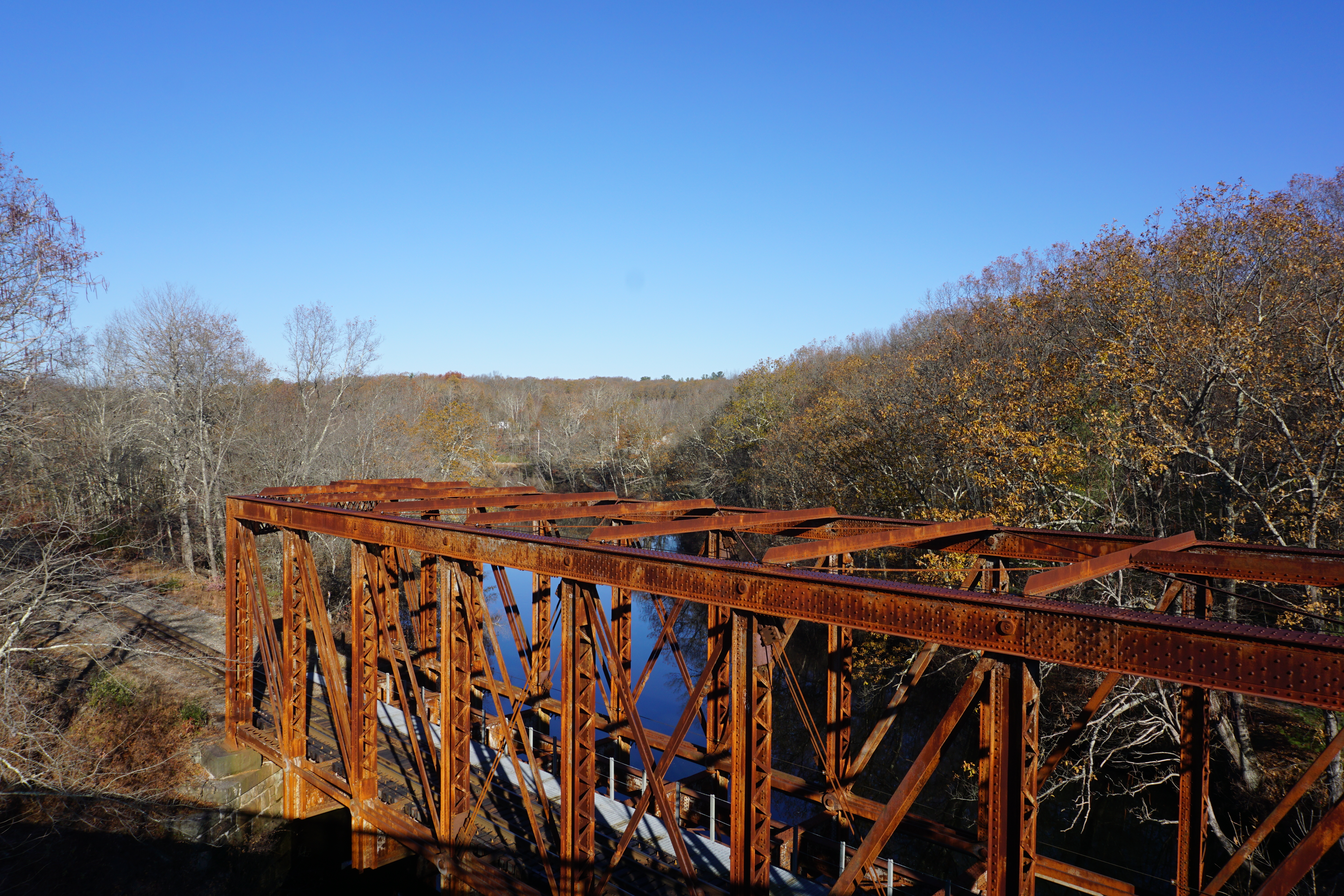
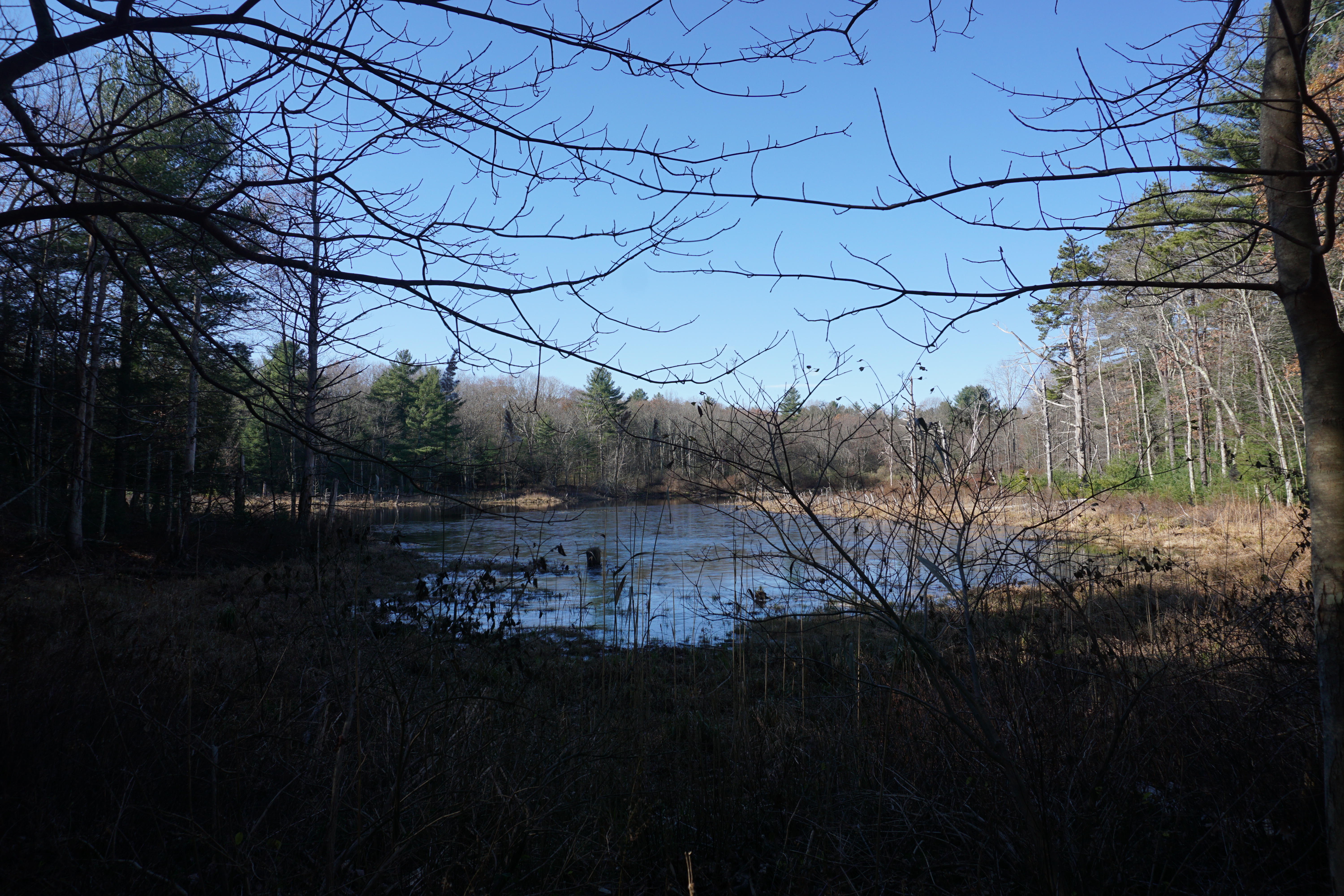
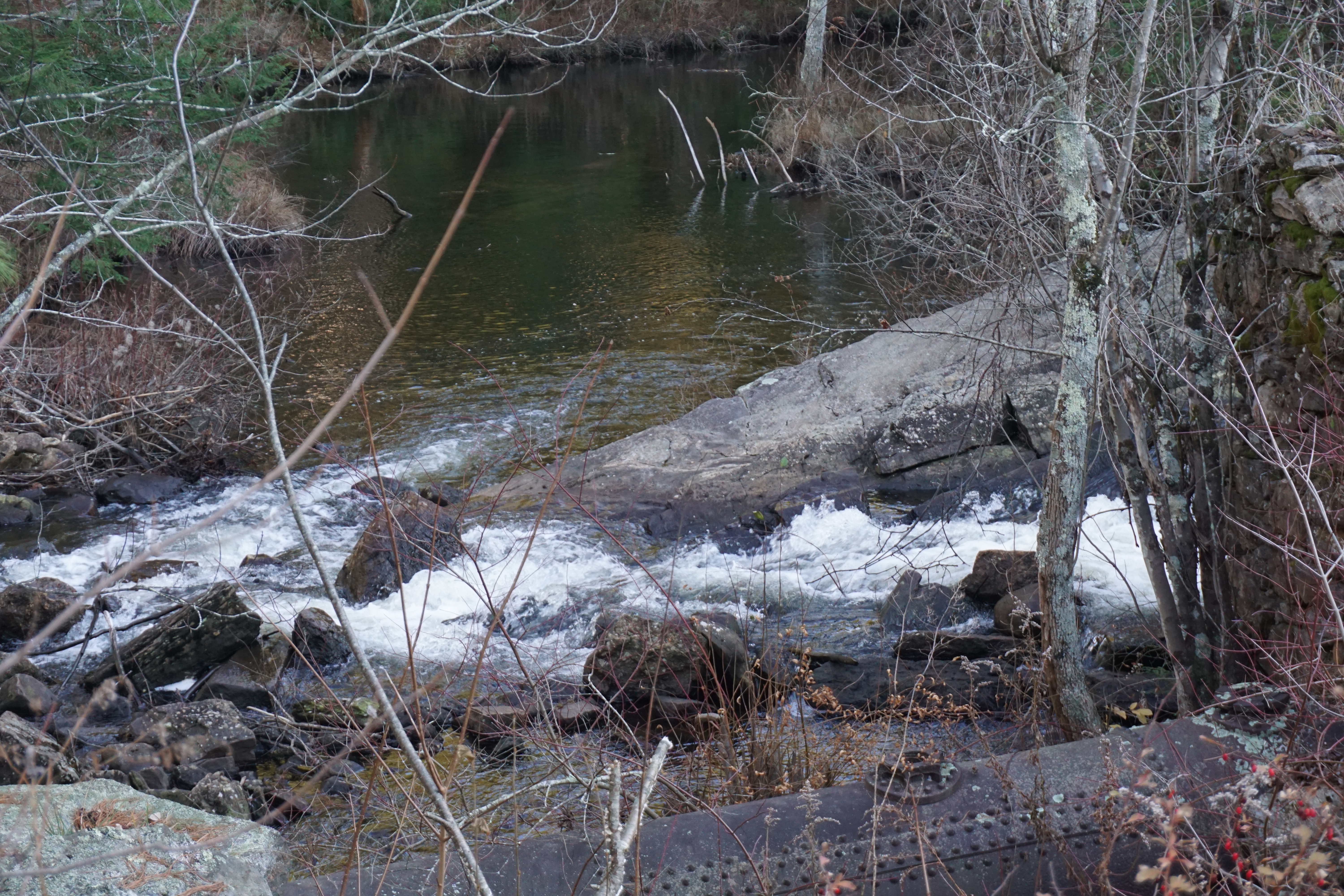
where I went on a short hike at the Yale Myers Forest Camp, located at 150 Center Pike. The path I took here to get to Morse Reservoir here is shown below in pink.
Not too bad a view of the waterfall and the reservoir, though from afar.

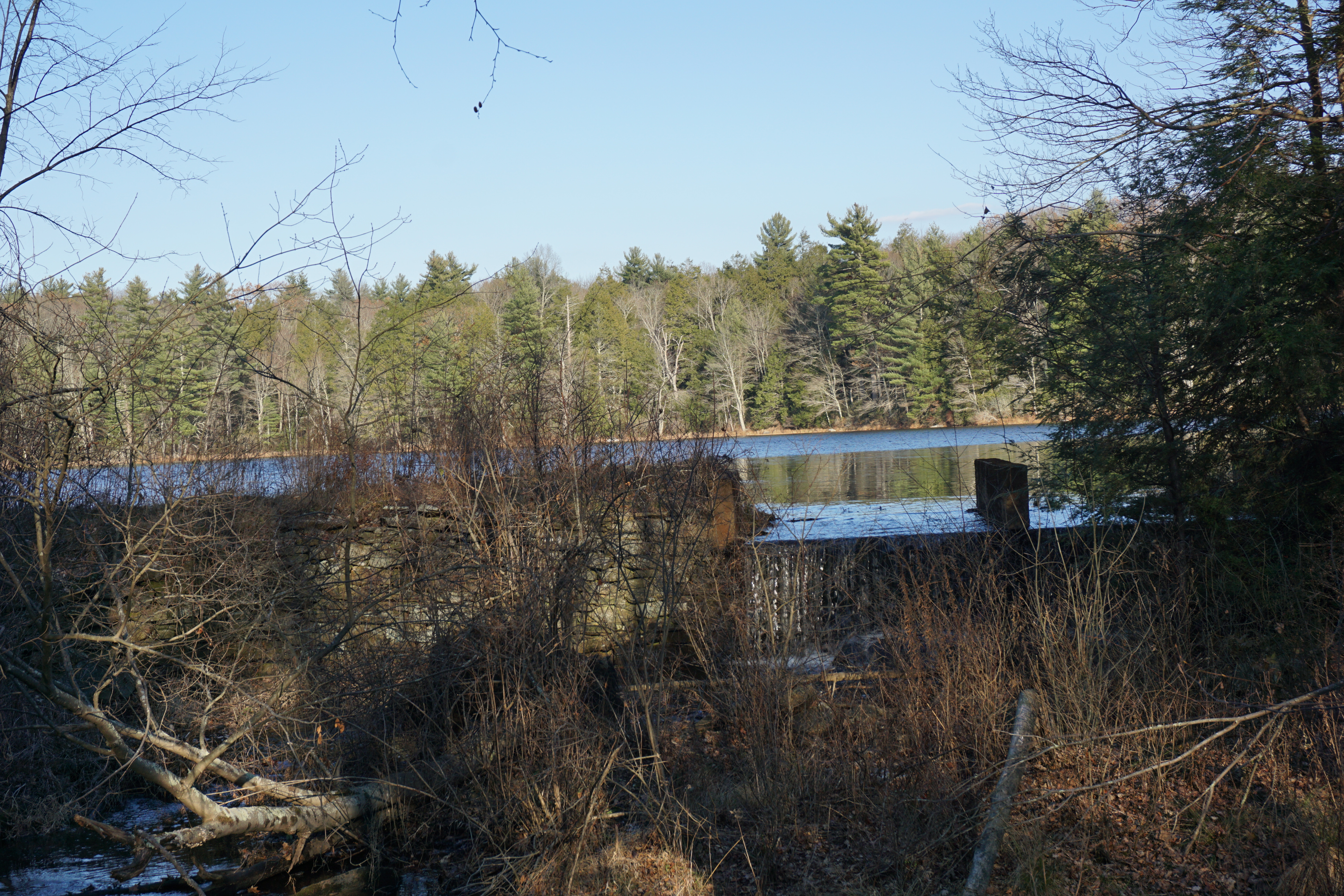
From here, I continued my exploration of the Yale Myers Forest area in Ashford CT,
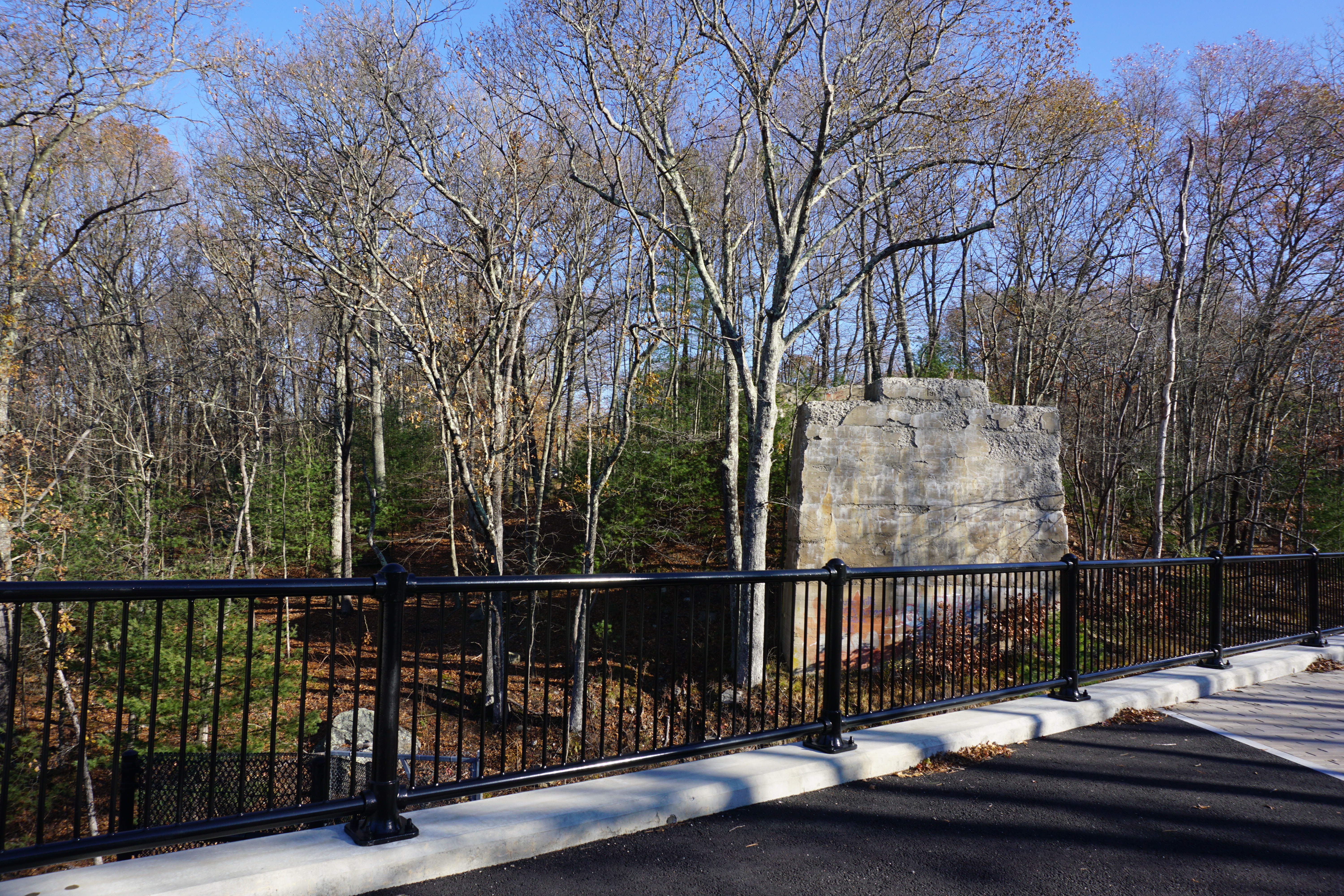
Barlow Mill Site,
Barlow Mill Road, 41.952522, -72.151054
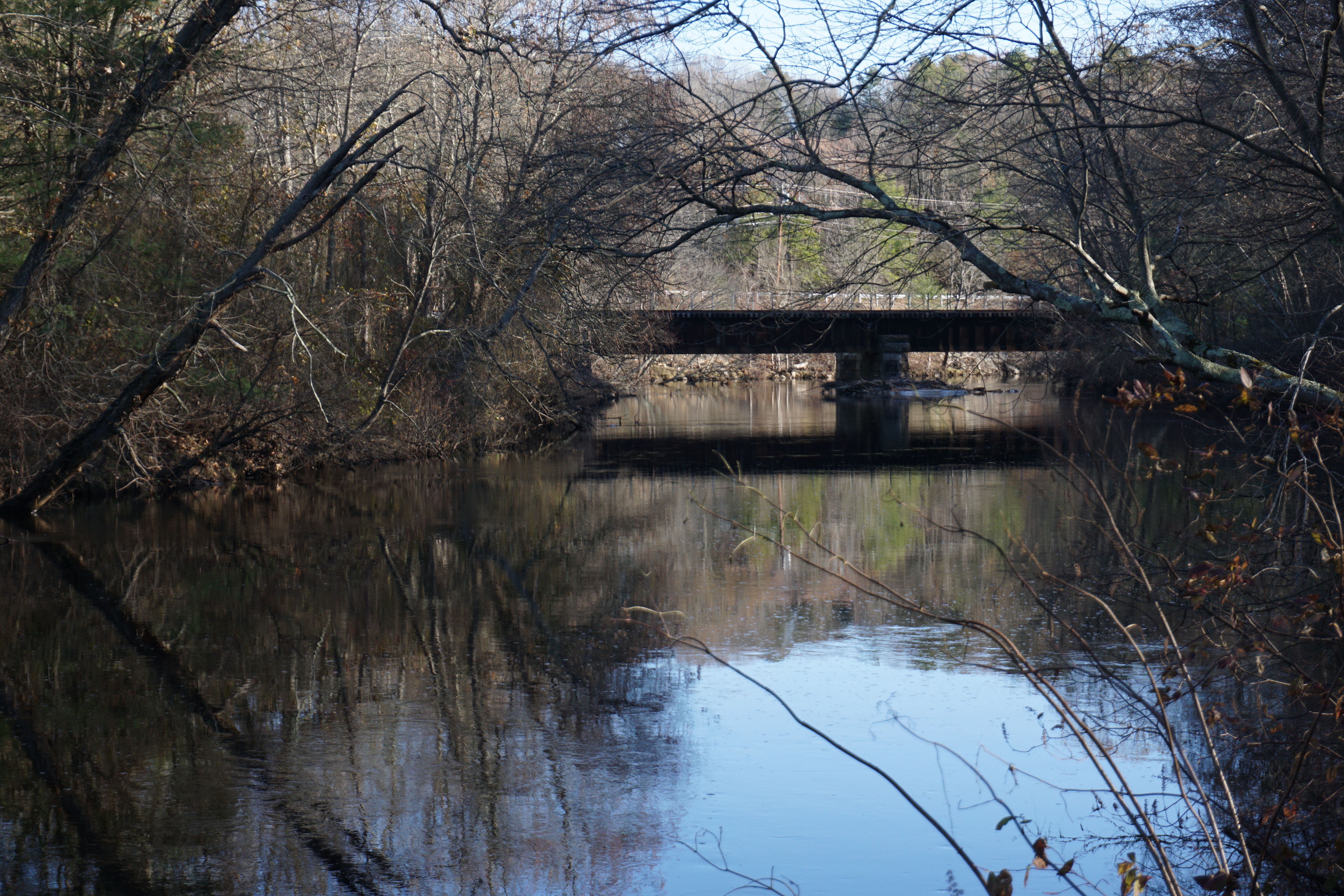
Going for a short hike in the Turkey Hill area, where the path I took to get to the water body here is shown below in pink.

I could not see the water body from where I was on the trail though, so I gave up and went back to my car. Apparently there is a great view on the other side of the road in the Boston Hollow area, as indicated by the star on the picture above. Guess I got to come back some day and check it out.

At this point, I decided to start heading for home,
Lake Chaffee
stopping along I-84 for a picture of Morey Pond,
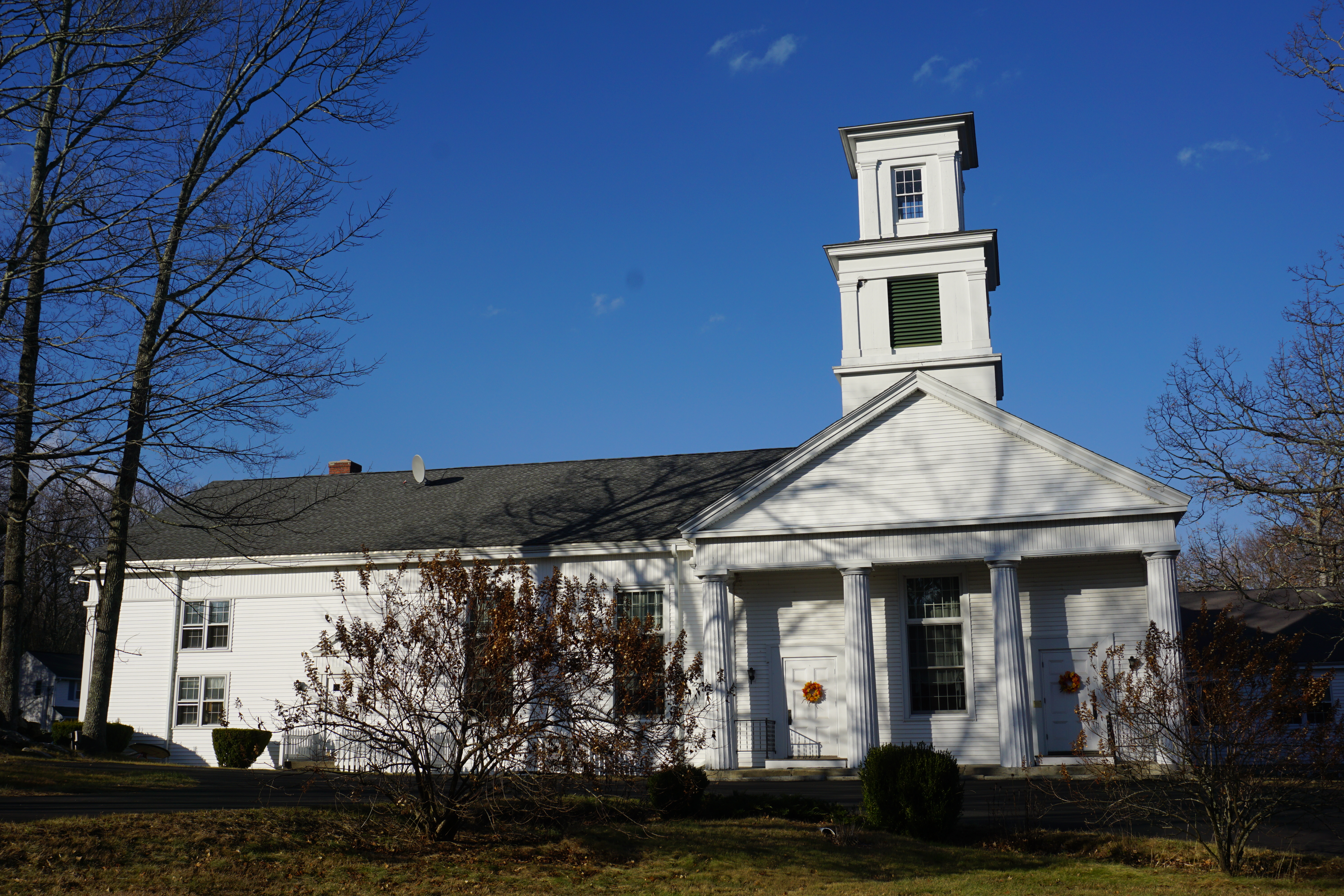
then the town of Union CT.
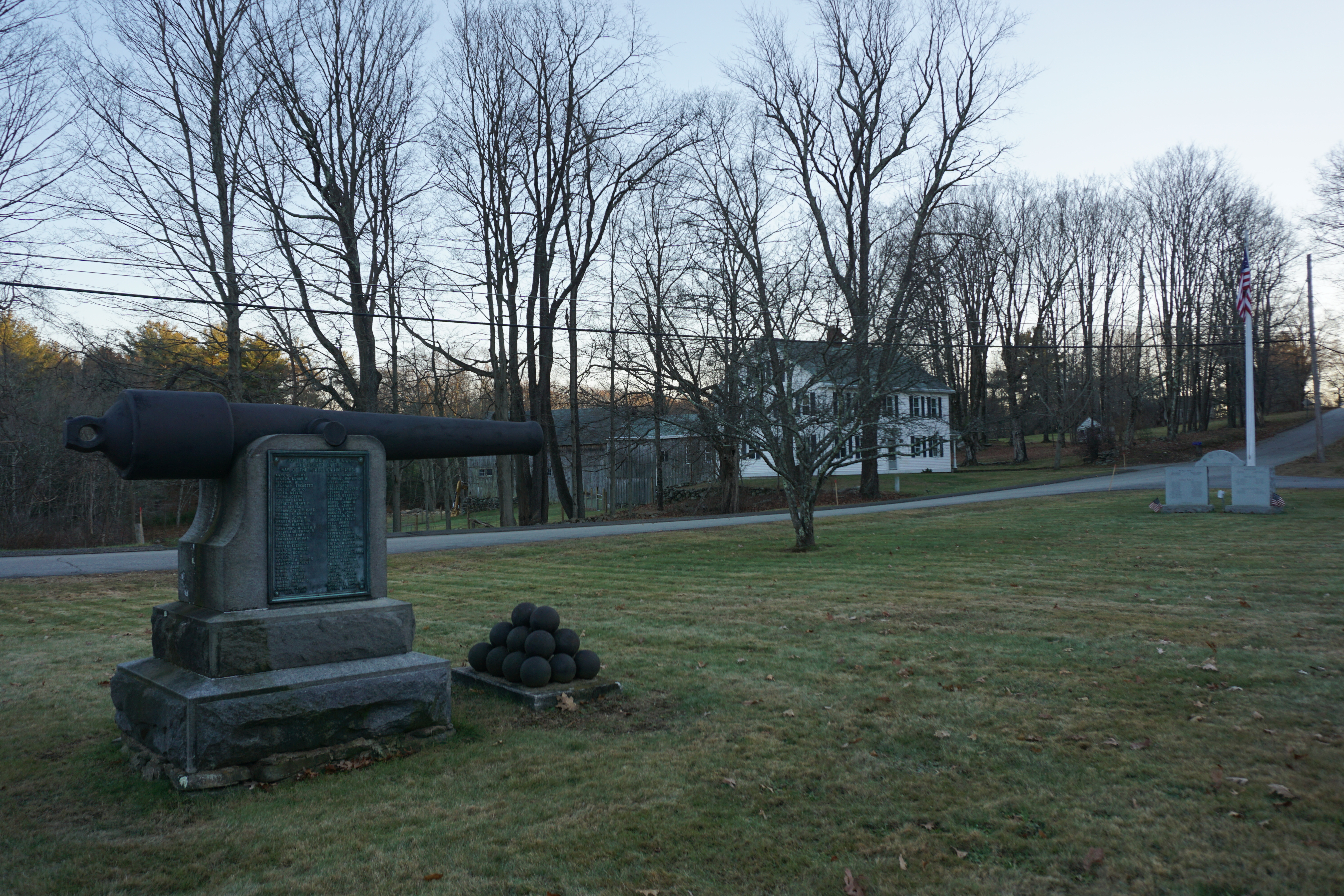
Congregational Church of Union
Civil War Memorial,
Buckley Highway and Town Hall Road
My final stop of the day was at Leadmine Pond in Sturbridge, where I apparently trespassed on private property to get this picture of it,
somehow dropping my phone into the pile of leaves here, realizing only when I got back to my car. I could not find it no matter how I raked the leaves, and it was getting dark as well. In the end, I resorted to knocking on the door of the house nearby, and the nice old man in there came out to help, armed with a torchlight, a land phone and a cell phone. The cell phone somehow wasn't working, which made me panic for a bit as I could not hear my phone, but thankfully the land phone was still within range, and it was more of a miracle that my phone wasn't on vibrate mode, and I heard it immediately and found it beneath the leaves. What a relief. 

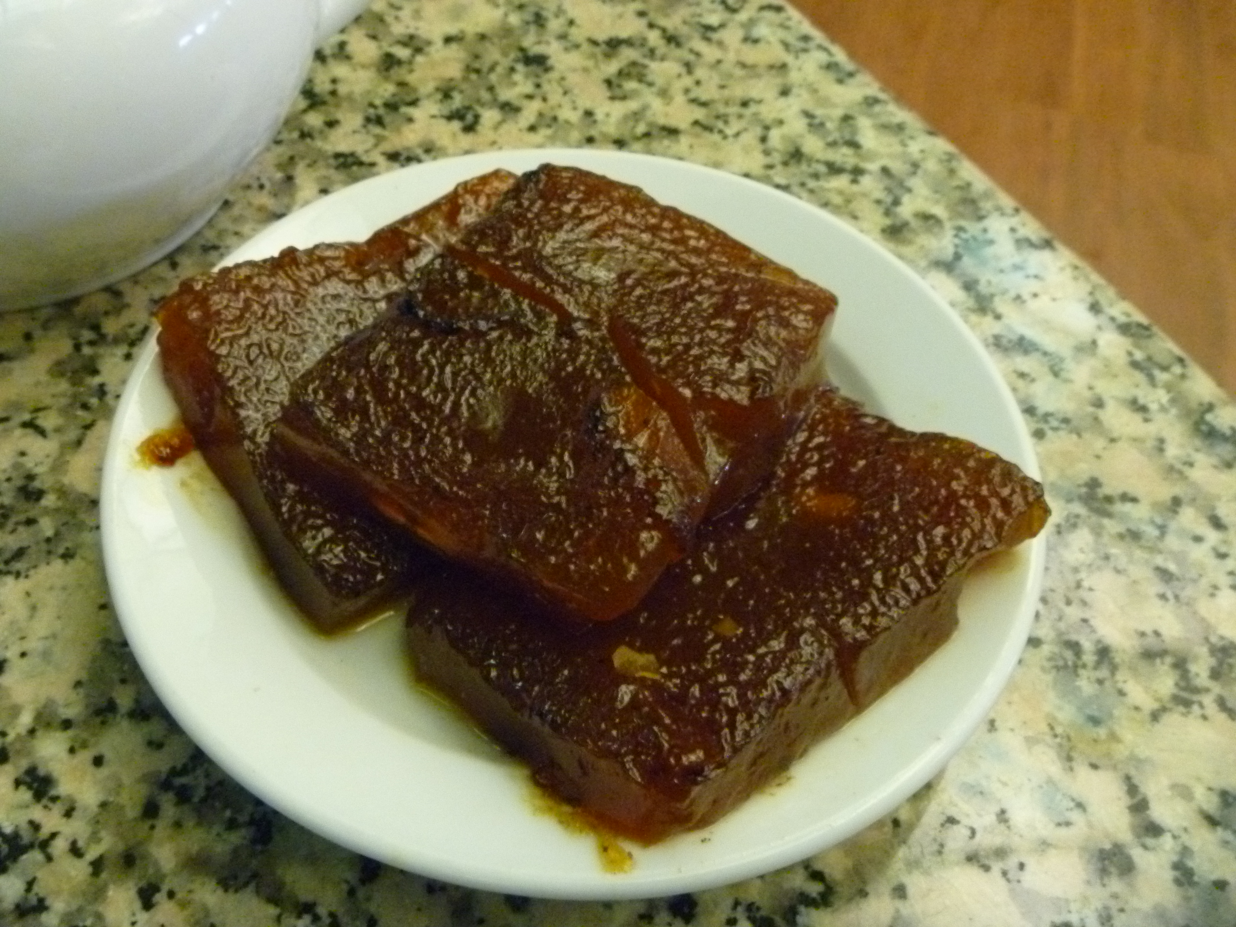
As a result, I was late getting home, resorting to getting more Chinese takeout from Meiji Asian Cuisine, a bar restaurant in Oxford just like in Dudley, thinking it would have some good Japanese food. 
Unfortunately, there wasn't anything interesting on the menu by way of Japanese food, and I had to settle for Eggplant with Tofu in Garlic Sauce, which was not bad actually.
8 hikes in one day, not bad at all.

Sunday, November 26, 2017

November 26th 2017: Brunch at Bruegger's Bagels, Weston

On our way back home today, we were hungry, so we decided to stop by the Bruegger's Bagels in Weston.

We got a Hot Chocolate,
an Albacore Tuna Melt (tuna salad, swiss, tomato and honey mustard on wheat bread)
and an Everything Bagel with Honey Walnut Cream Cheese.

The drink was a little on the sweet side, but the sandwich was really tasty, and the bagel was the best I have had to date, not hard at all. Definitely a place to come back to. No wonder there are several locations.

Saturday, November 25, 2017

November 25th 2017: Eating and Shopping in Woburn

We decided to have a dimsum lunch at New China Pearl in Woburn today, getting stuff like Chicken Feet, Beef Tripe, Siew Mai,
Tikoy,
and Tofu Beancurd.
Not that great this time, but okay I guess.

Next we went next door to the Woburn Mall, an indoor mall I did not know about till today.

Nothing much here though, with lots of shops already closed.

Friday, November 24, 2017

Recommended Places to Visit: North Smithfield RI

Recreation
Water Bodies
201 Main Street

Pratt Pond (private)
165 Old Great Road

Primrose Pond
76 Pond House Road

Lake Bel Air
45 Overlea Road


Hiking
Recommended:
Fort Nature Refuge
1445 Providence Pike


Architecture
Monuments
Milk Can Building
948 Eddie Dowling Highway


Places of Worship
St. John the Evangelist Catholic Church
63 Church Street

Slatersville Congregational Church
25 Green Street

Lighthouse Christian Church
322 Eddie Dowling Highway

Masjid Al Islam
40 Sayles Hill Road


Town Facilities
Town Hall
1 North Main Street


Historical Buildings
Slatersville Mill
10 Railroad Street

High Rock Apartments
1 Tupperware Drive

Union Grange Hall
101 Greene Street

Kendall Dean School
83 Greene Street


Restaurants
Tried:
Deli
The Beef Barn
1 Greenville Road


Italian
Gusto Pizzeria and Spaghetteria
45 Overlea Road
Recommended Dishes:
Vegetarian Pizza

Recommended Places to Visit: Millville

Recreation
Hiking
Recommended:
Architecture
Monuments
Memorial Park
196 Main Street


Town Facilities
Town Hall
8 Central Street


Places of Worship

St. Augustine's Church
17 Lincoln Street


St. John's Episcopal Church
49 Central Street


Church of New Hope
63 Central Street


Historical Buildings
Udor Tower
~8 Central Street near Town Hall

November 24th 2017: Heading South for the Day

It has been a while, but I headed south today, going for a hike at the Richard T Larkin Conservation Area at 373 School Street to try to find Shining Rock. There is no trail map available, but I followed the instructions on https://trailsandwalksri.wordpress.com/2017/06/16/shining-rock-northbridge/,
and was able to get to the beautiful views on a rock cliff face, and the coordinates for the scenic area is 42.151123, -71.635549. If you have trouble finding it, it is located near the 14th hole of the Shining Rock Golf Club,

with trails leading into the woods and the scenic spot. Definitely a great start to the morning, although I had to be pretty careful walking around the cliff's edge.
heading back to my car, I proceeded next to the town of Mendon to explore the Mendon Town Forest. The path I took here is shown below in pink.
The fire tower could not be accessed, however,
and the waterfall at the mill area was just so-so.
Overall, not really worth the hike, unlike Shining Rock.

From here, it was on to the town of Millville for a hike at the Southern New England Trunkline Trail, where the path I took to find the Millville Lock and the Triad Bridges is shown below in pink.
The view of the Blackstone River by the Millville Lock
was pretty good,
although those from the Triad Bridges were better,

although the bridge was a little icy this morning, and I almost slipped here.

From here, I headed into North Smithfield RI,
Union Grange Hall
Old Kendall Dean School
Primrose Pond, 76 Pond House Road
Lake Bel Air, 45 Overlea Road

going for a hike at the Fort Nature Refuge, where the path I took is shown below in pink.

There were pretty nice views of the water bodies here,

but I got somewhat lost at the power lines due to the inaccuracy of the map.

It was a good thing that I decided to look around for a bit, finally finding the route around the corner. I did not get very far though before getting lost again, this time going for quite a bit before finally realizing my mistake. The route I had to go was actually partially hidden behind a log, and somehow I managed to find it. The views of the water bodies here were not as good as the first though,
and there was a fallen tree which forced me to give up my hike at the final water body.
Pretty good hike though.

With that, I called it a day for sightseeing, grabbing a Vegetarian Pizza (Spinach, mushroom, eggplant, zucchini, artichokes, tomato slices)
from Gusto Pizzeria and Spaghetteria, a takeout place in town.

Not bad actually, with lots of toppings, for a vegetarian pizza.

For dinner, we headed to RFK Kitchen, a high end place in the town of Needham.
Sadly, no one else was here the entire time we were, which might have been a sign of things to come. We got the Wings (sweet and spicy)
and the Faroe Island Salmon (couscous sundried tomatoes, olives and capers).
The chicken was not too bad, with lots of tangy spicy sauce, but couscous portion of the salmon tasted a little weird because of the capers, and the tomatoes did not help either. Not sure if I want to come back here again, and there wasn't anything much else on the menu as well. Oh well. A pretty good day for hiking though.