I started my day off in the town of Lancaster,
 |
Pellechia Conservation Area,
Lunenburg Road, 42.481937, -71.684089 |
then Leominster,
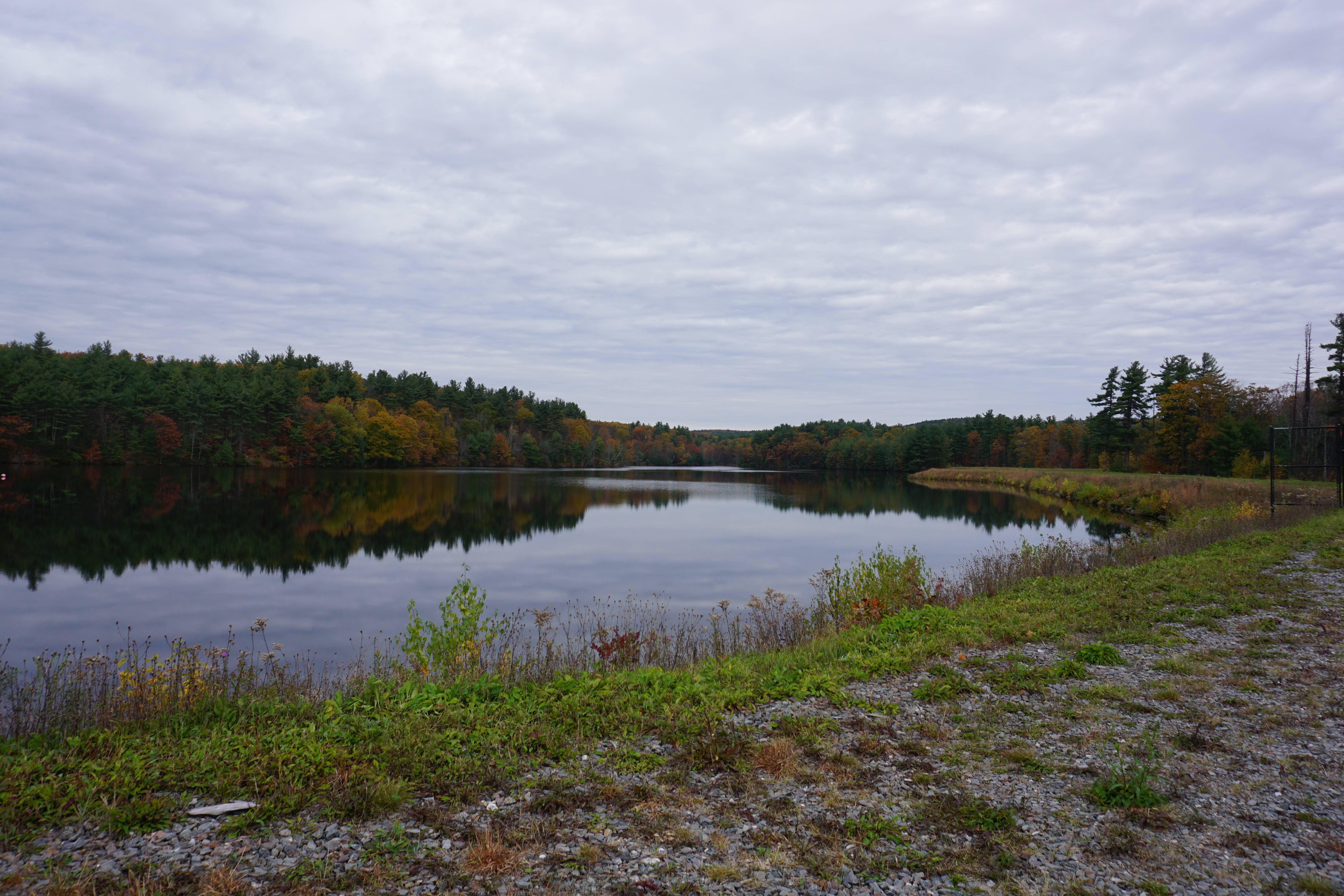
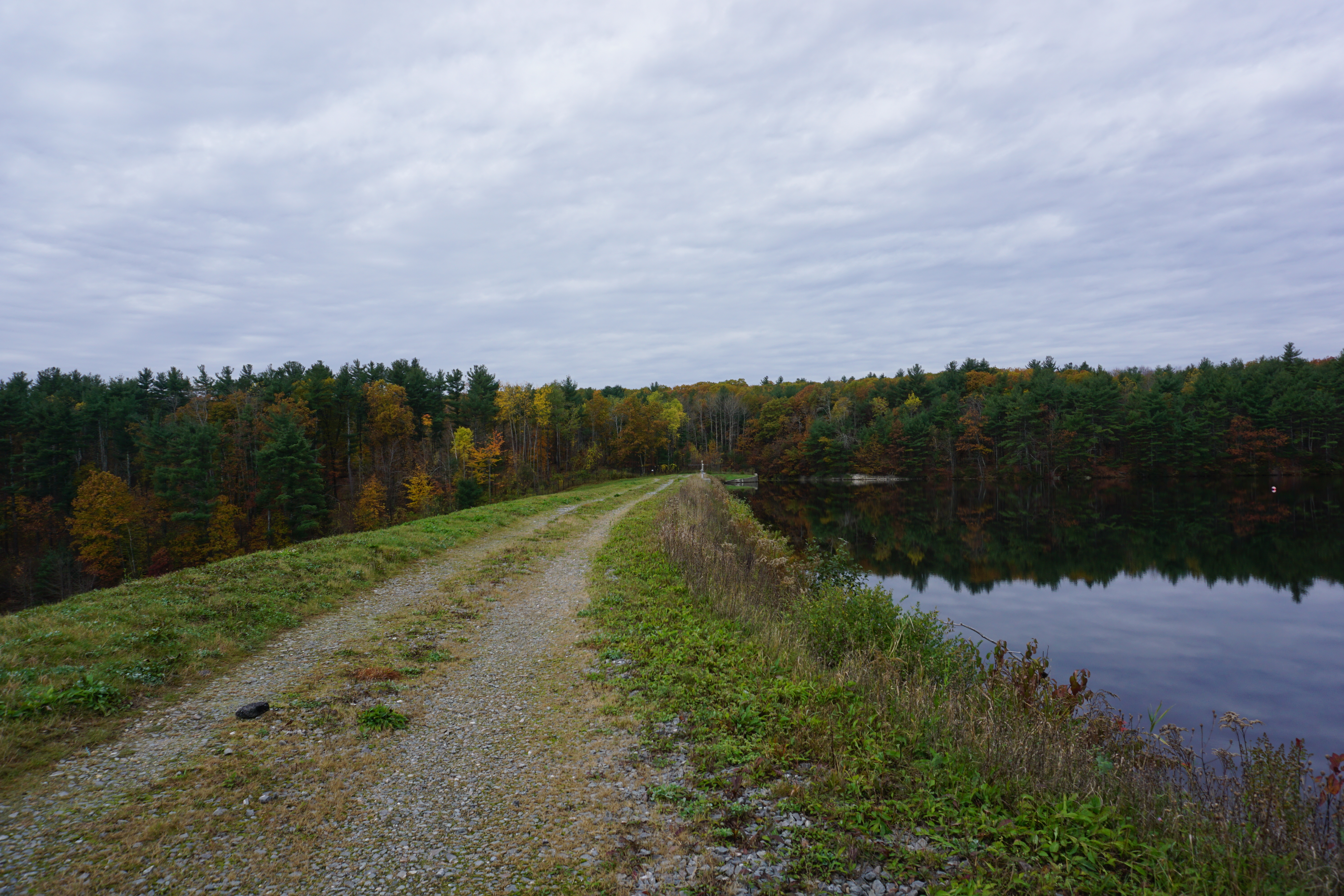
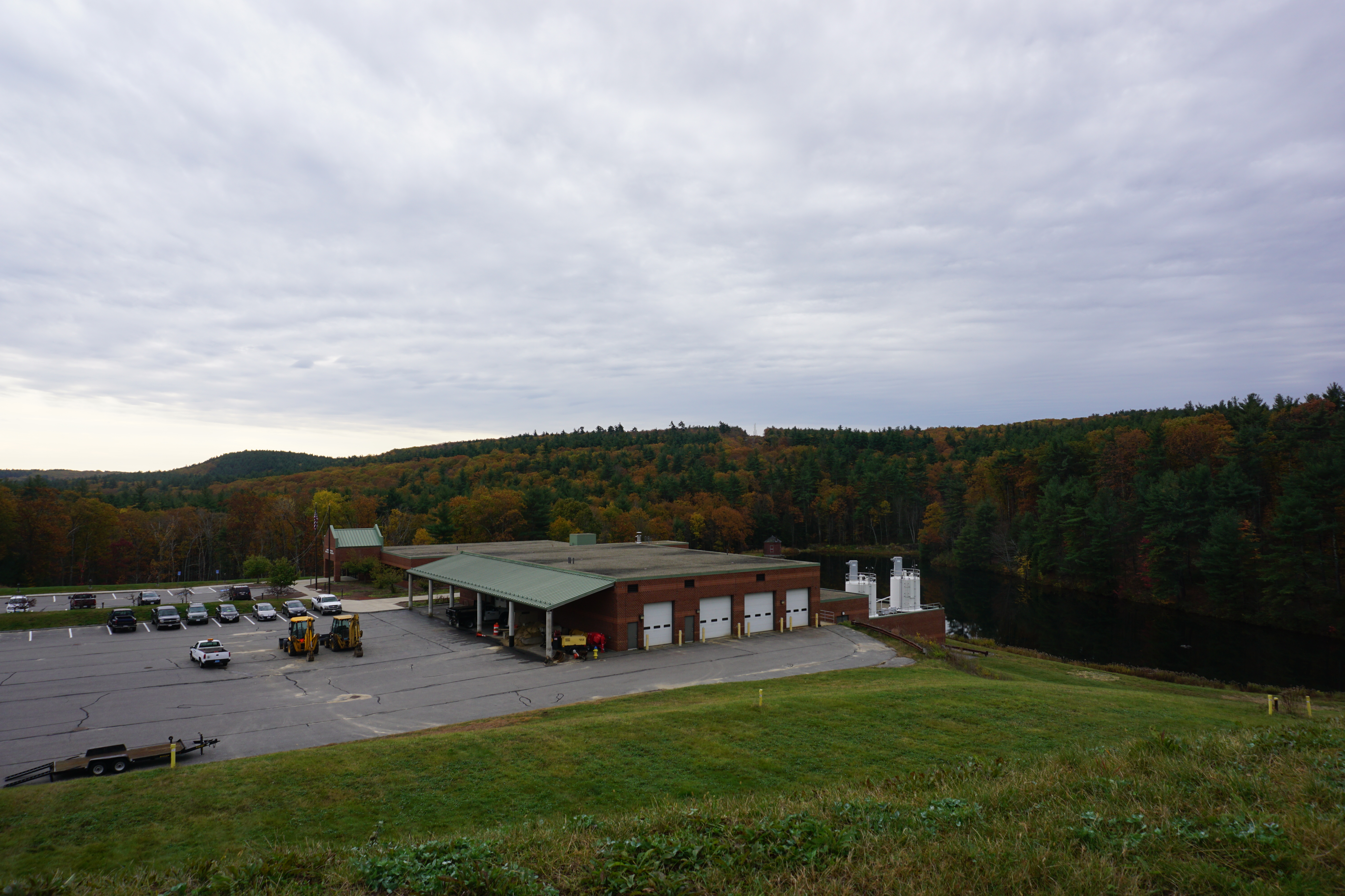
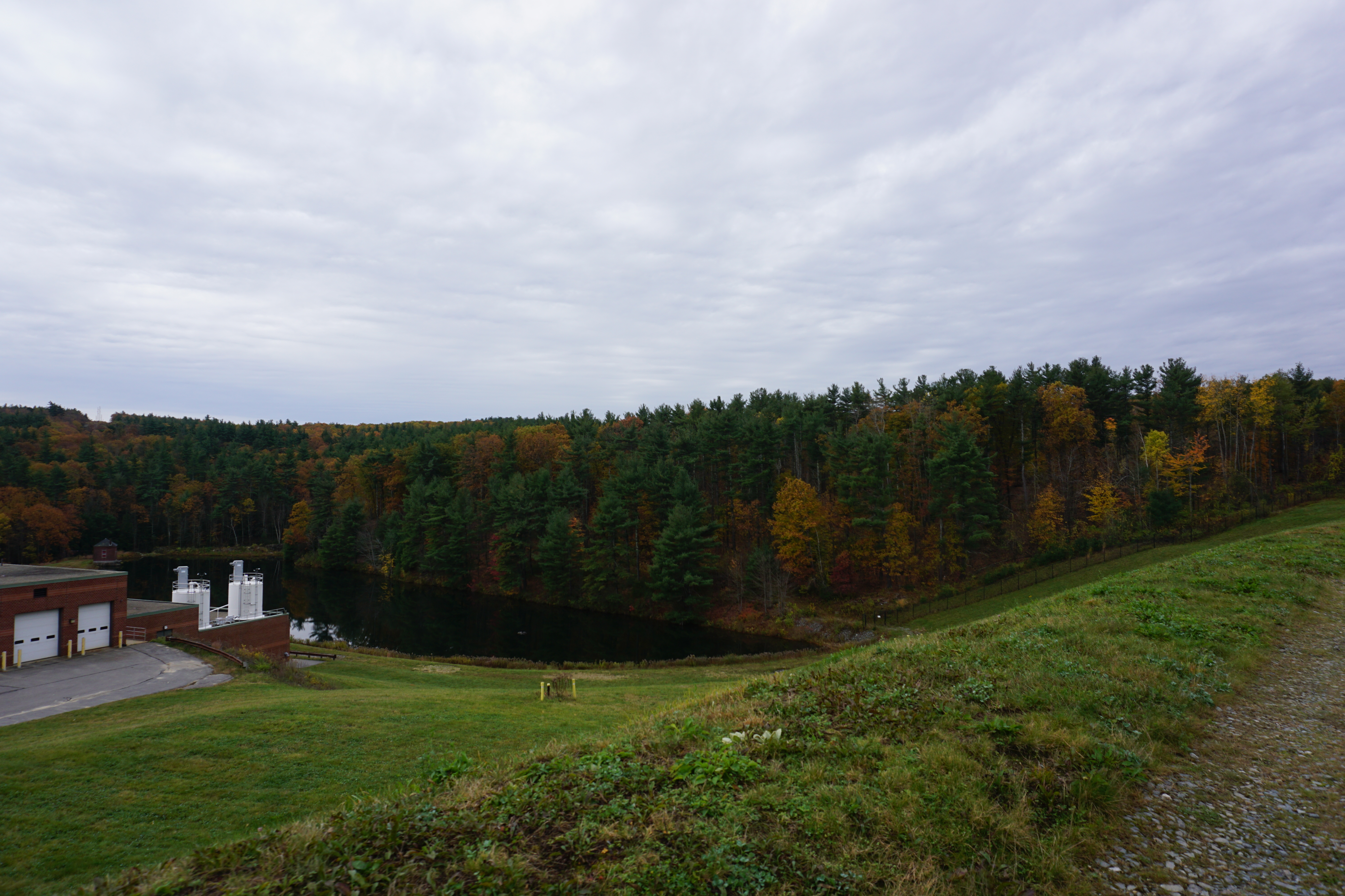
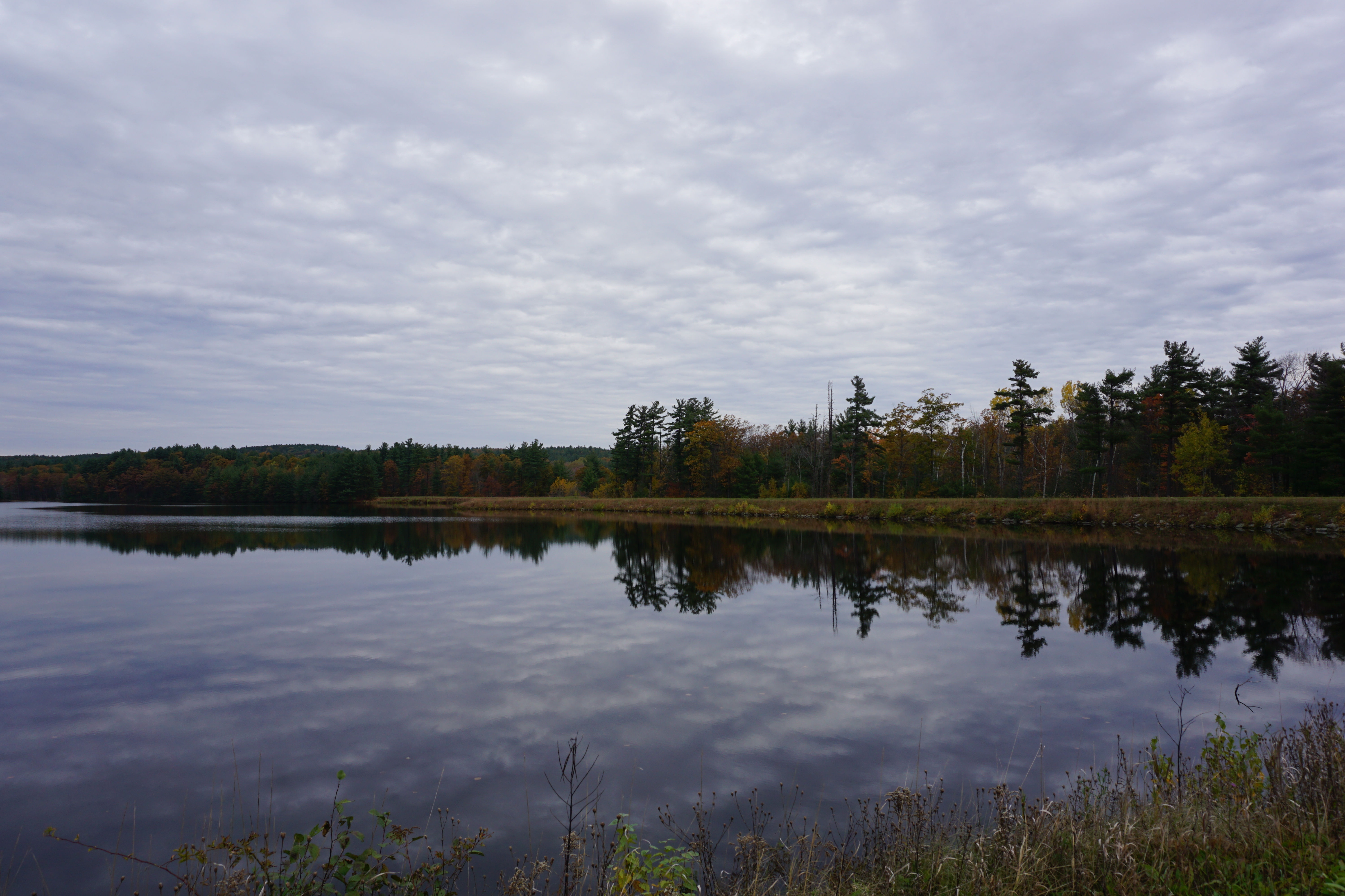
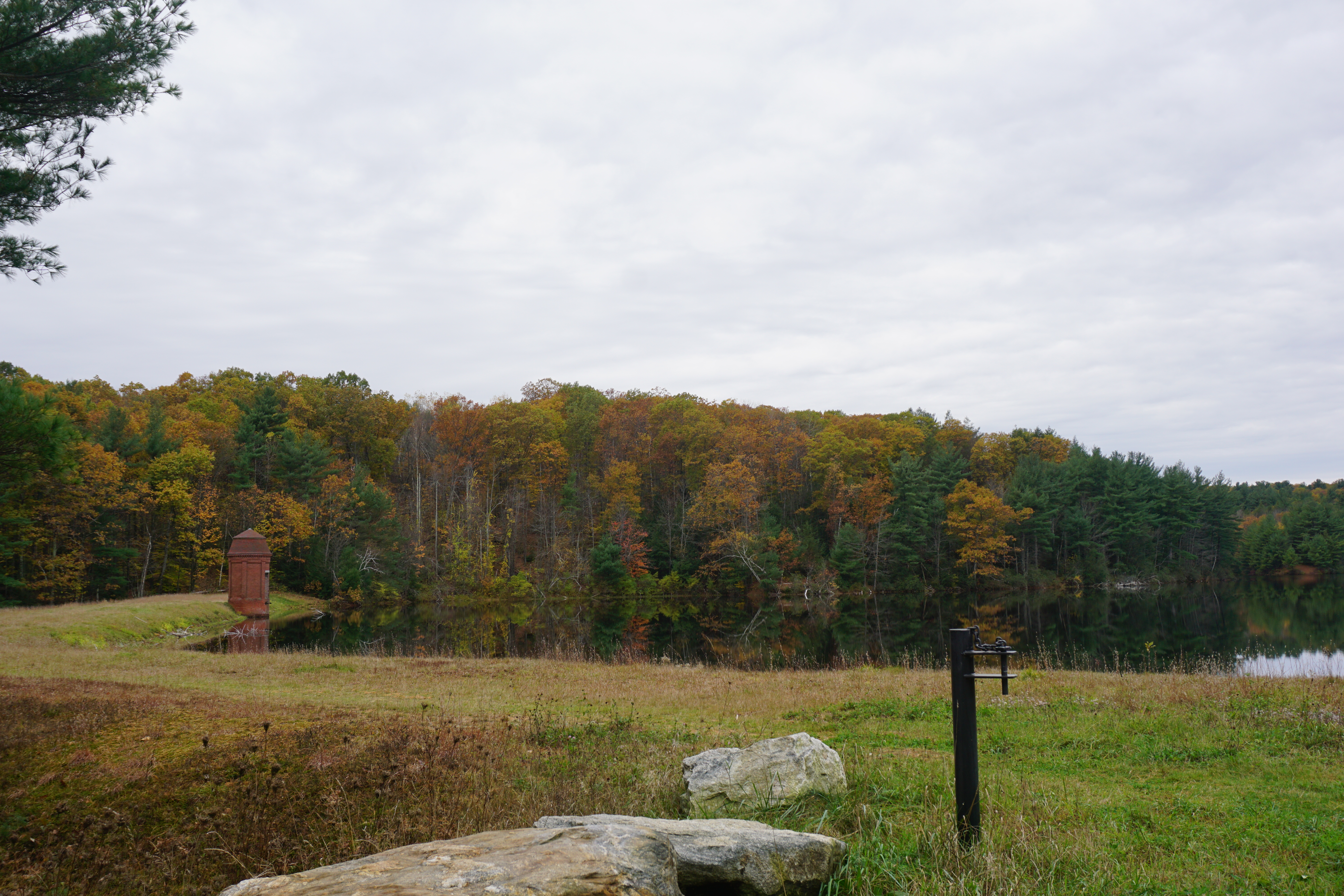
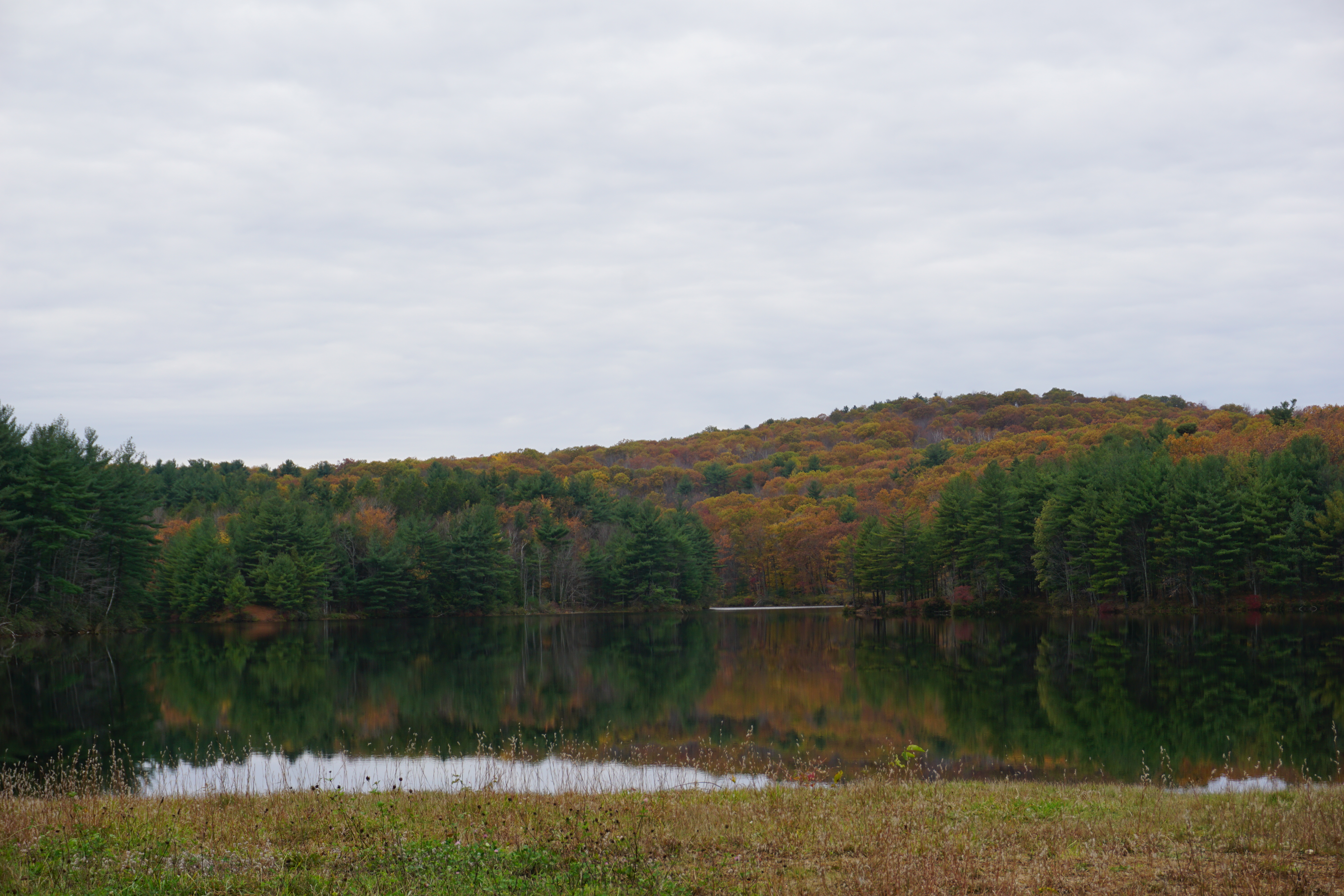
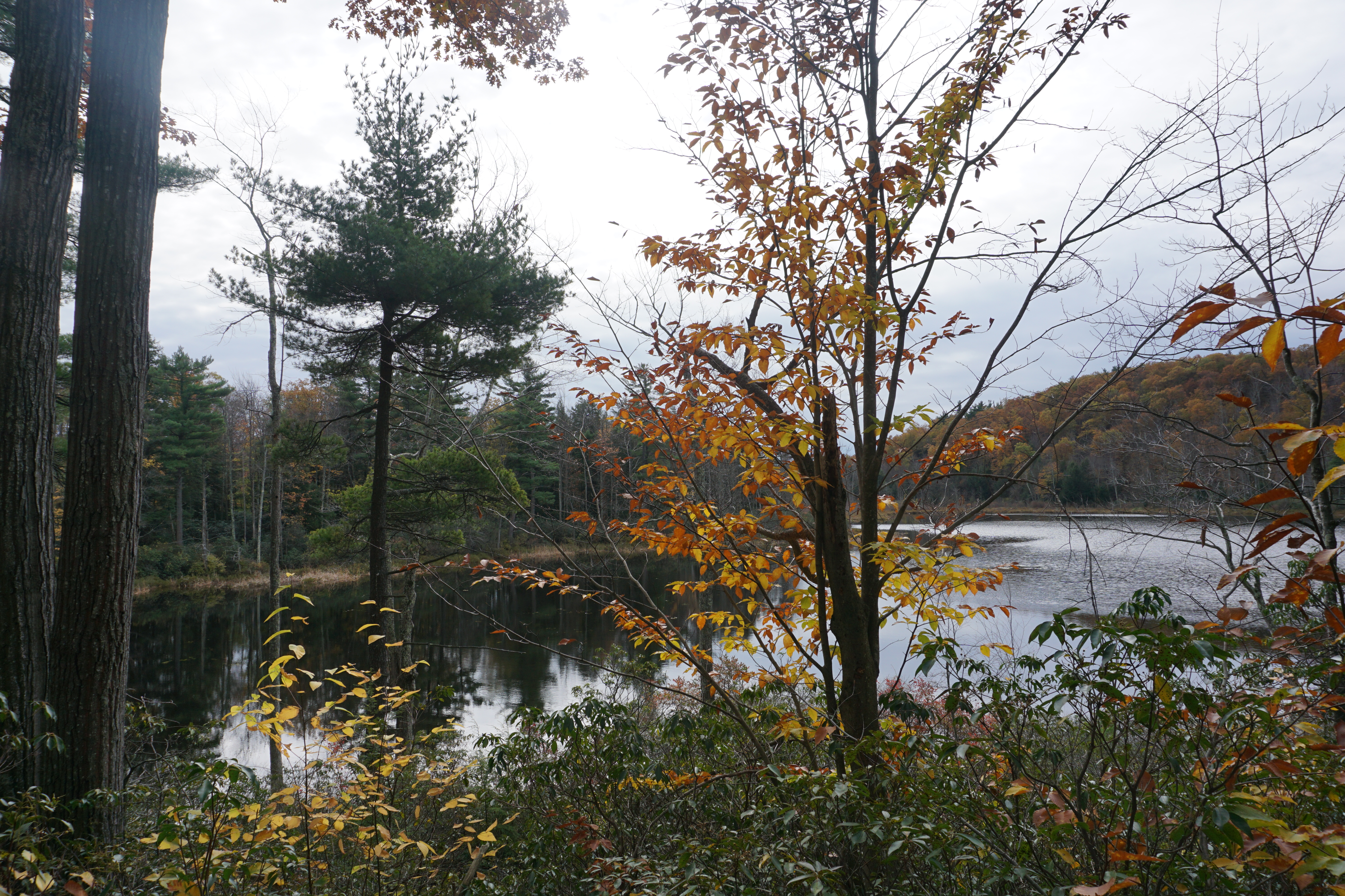
and finally Fitchburg, where I first visited Lovell Reservoir at 1200 Rindge Road. I had to climb up to the top to see it, anxious that I was trespassing, but the views of the pond was pretty nice and serene this fall day.
Next, I decided to go find the
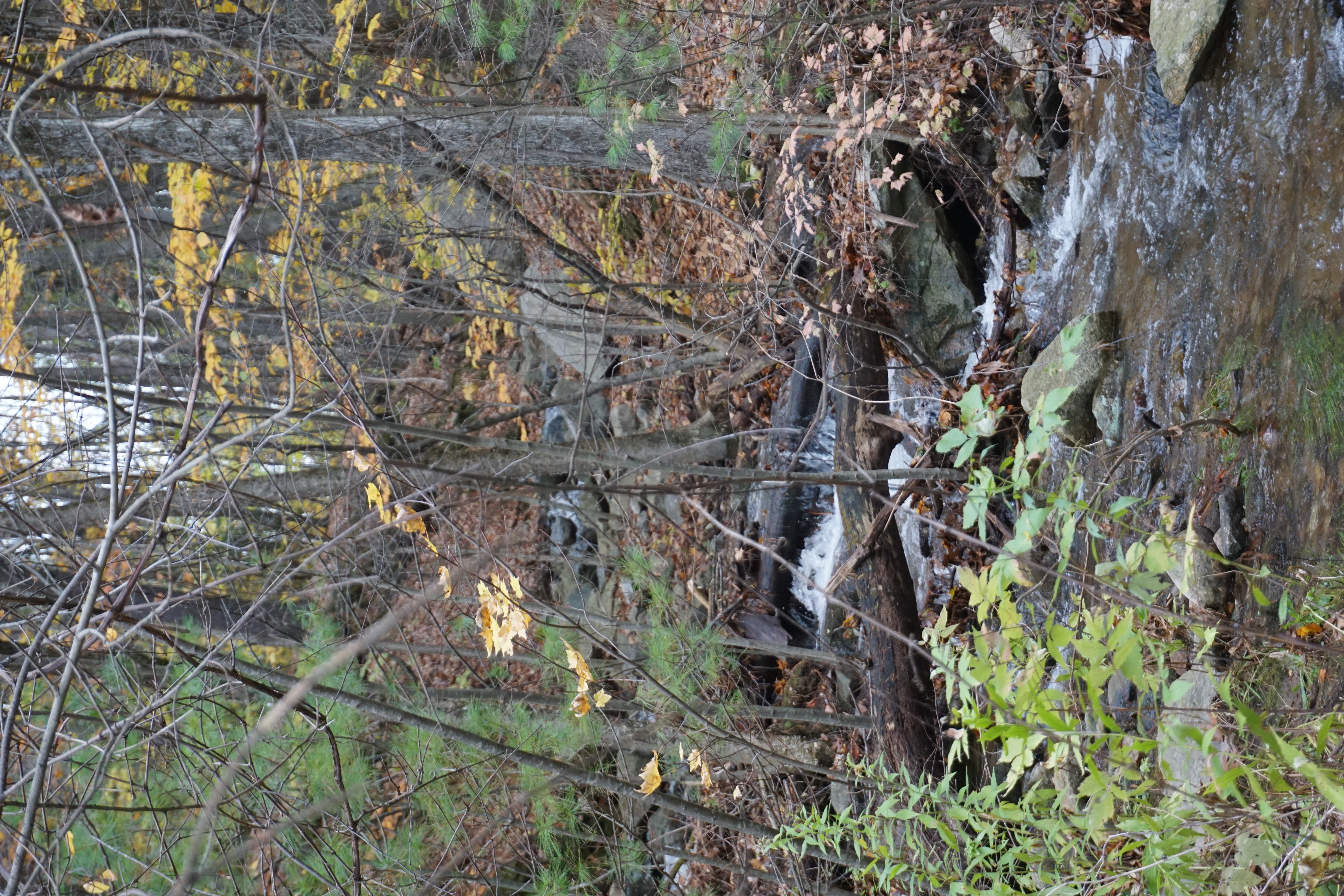
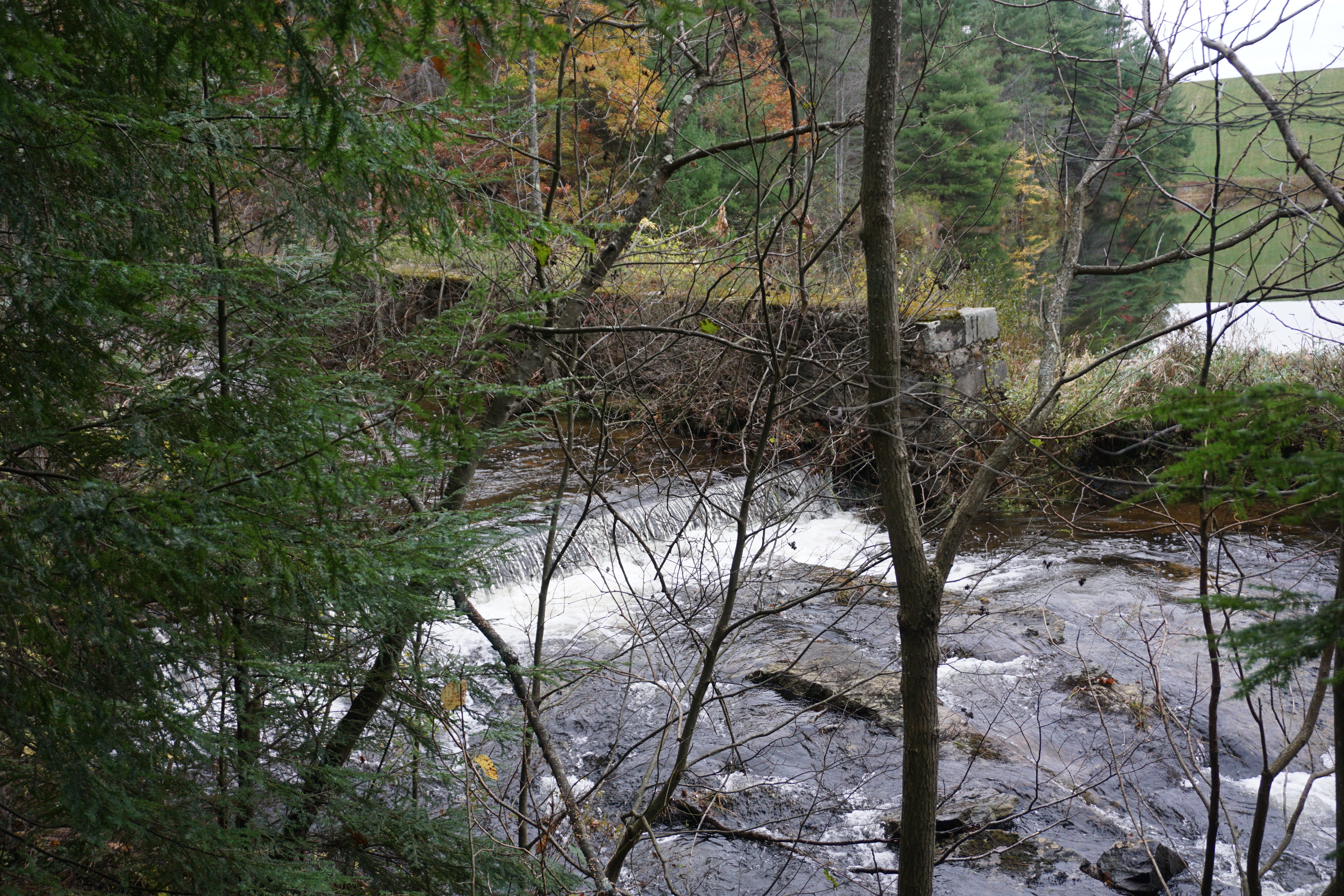
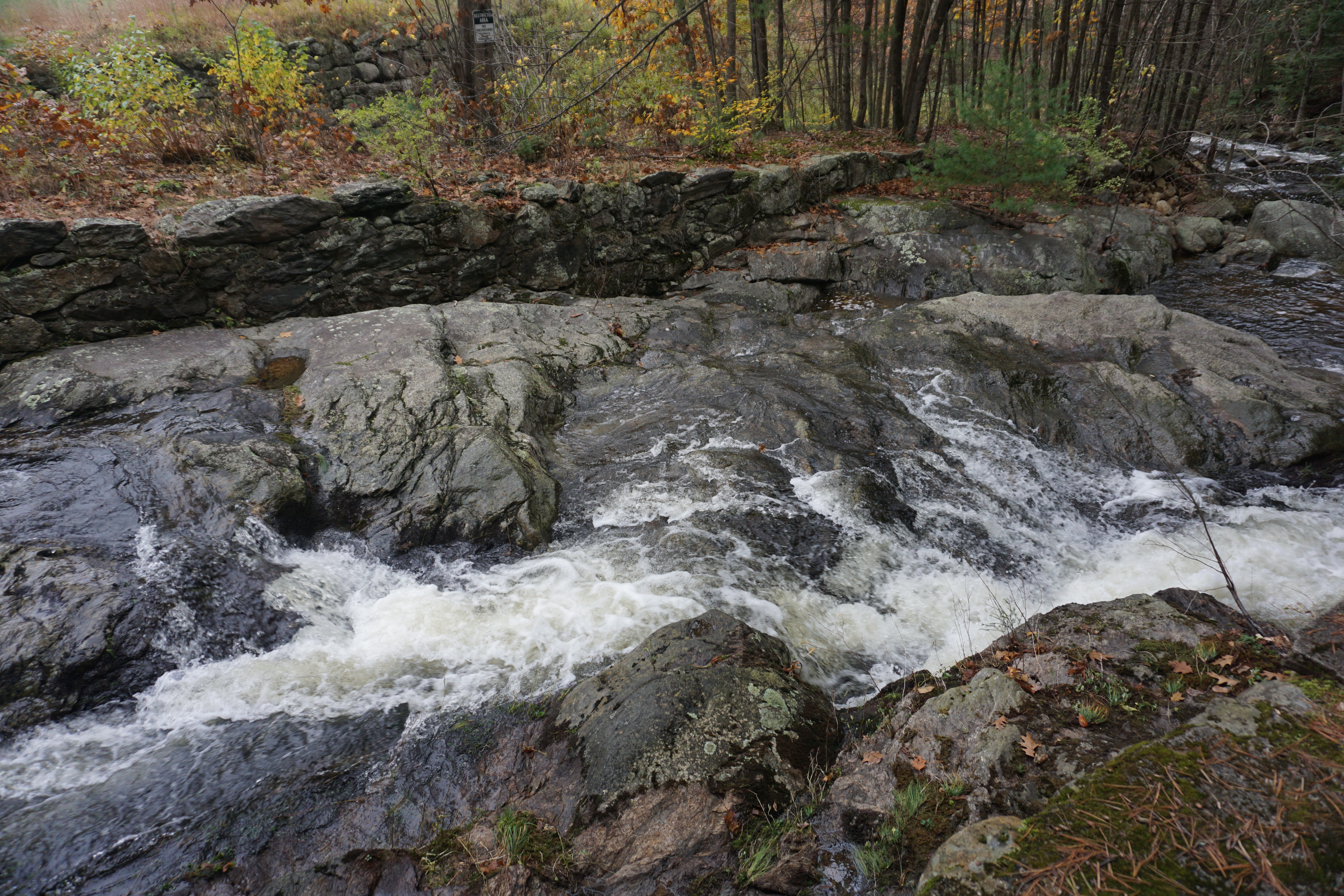
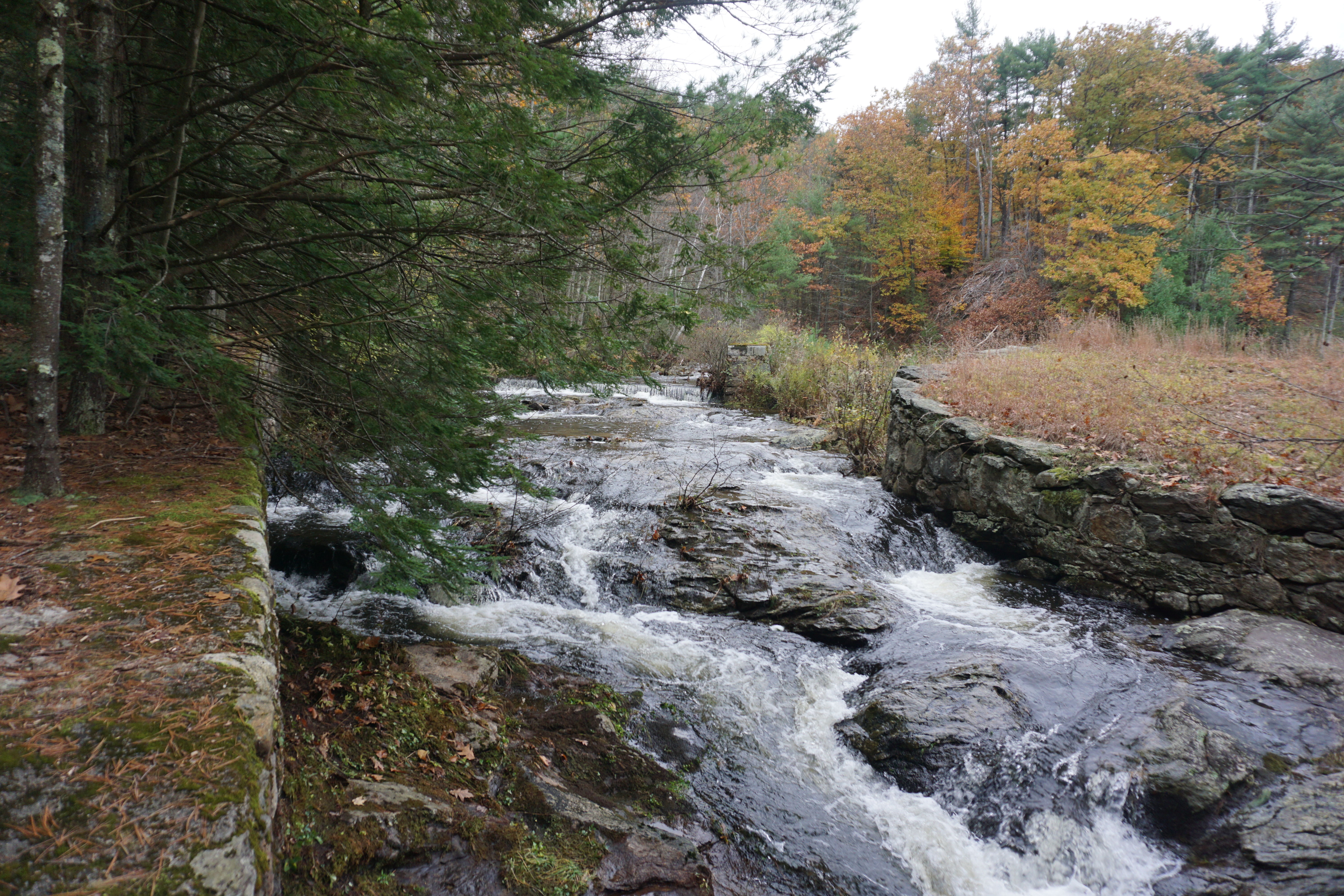
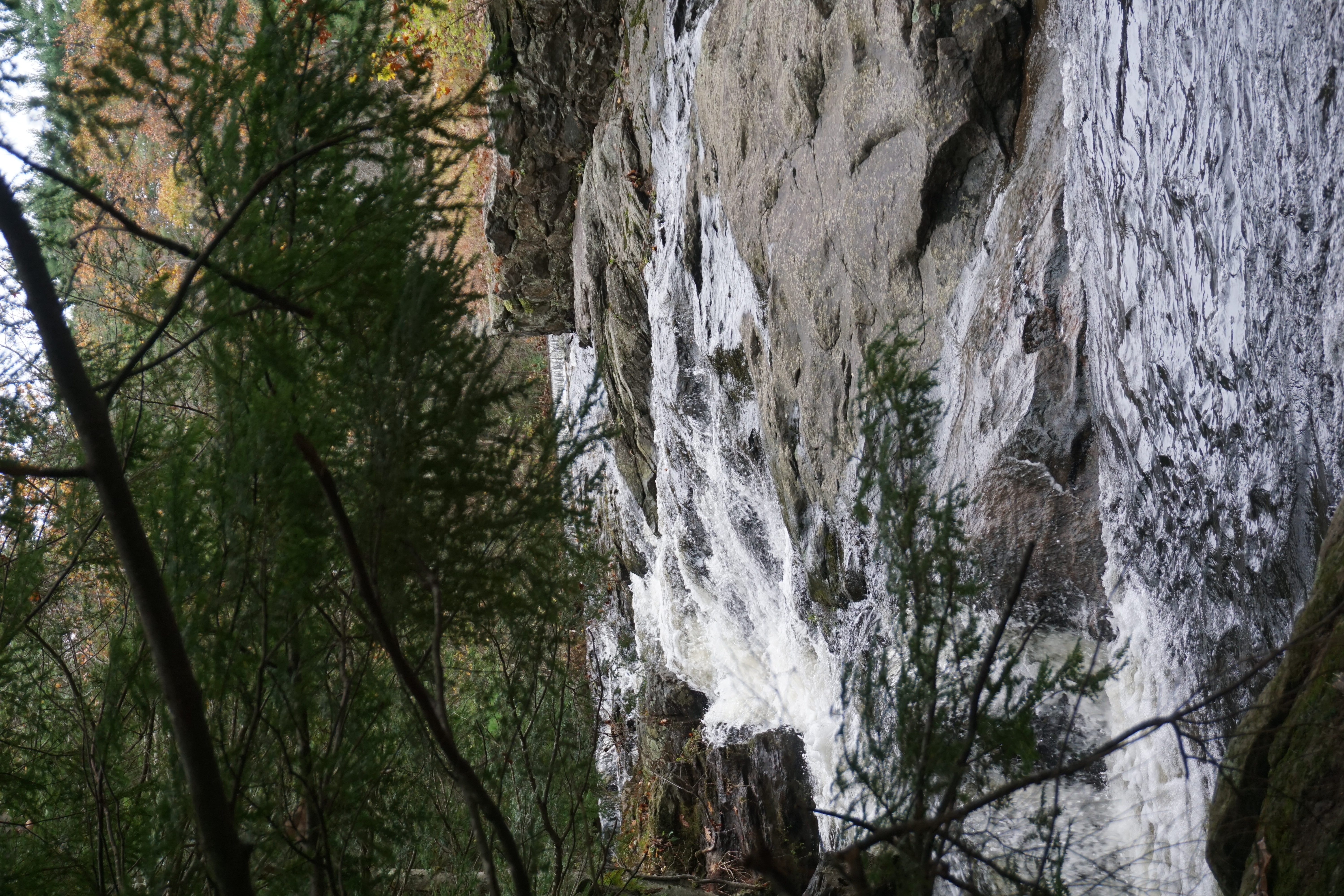
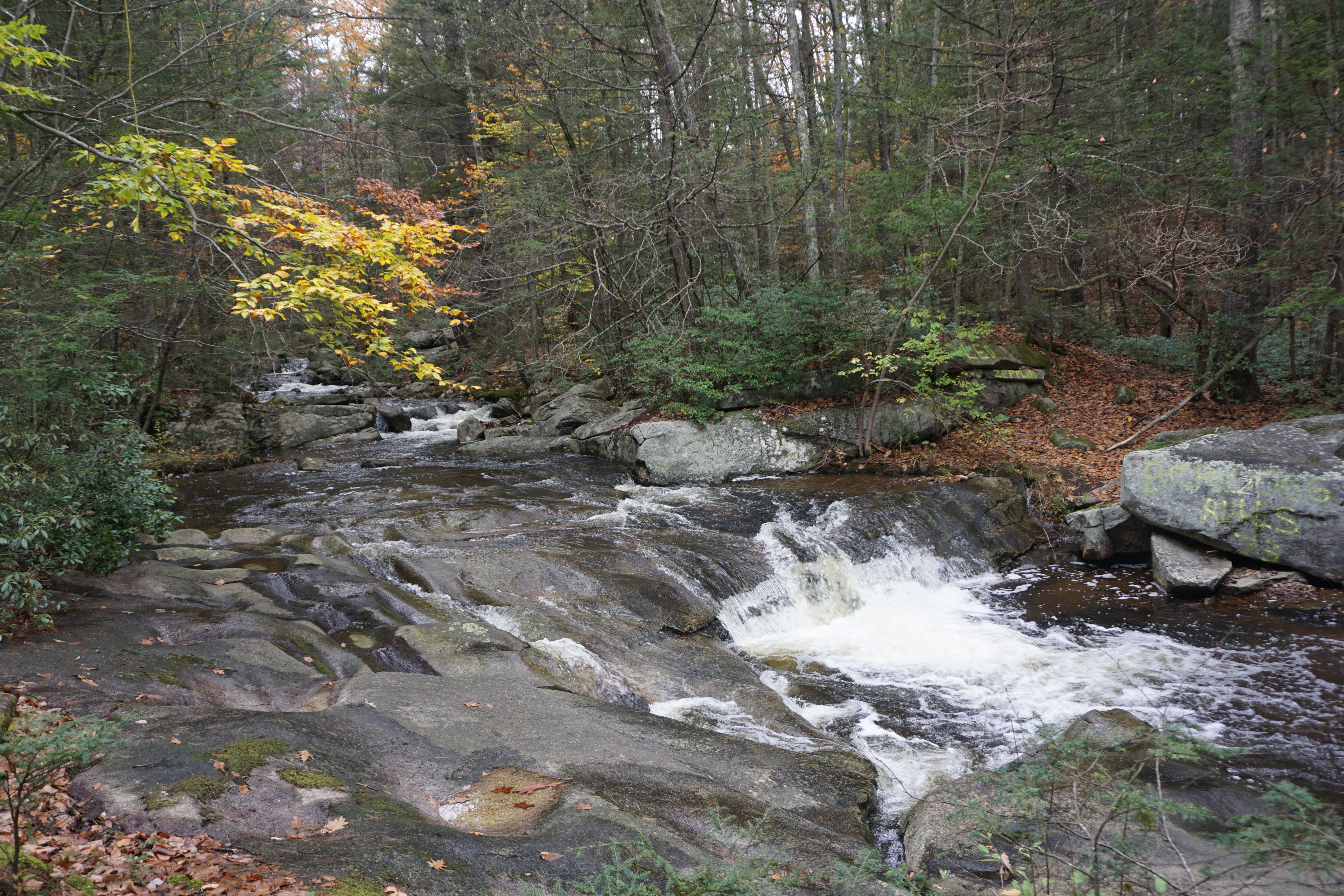
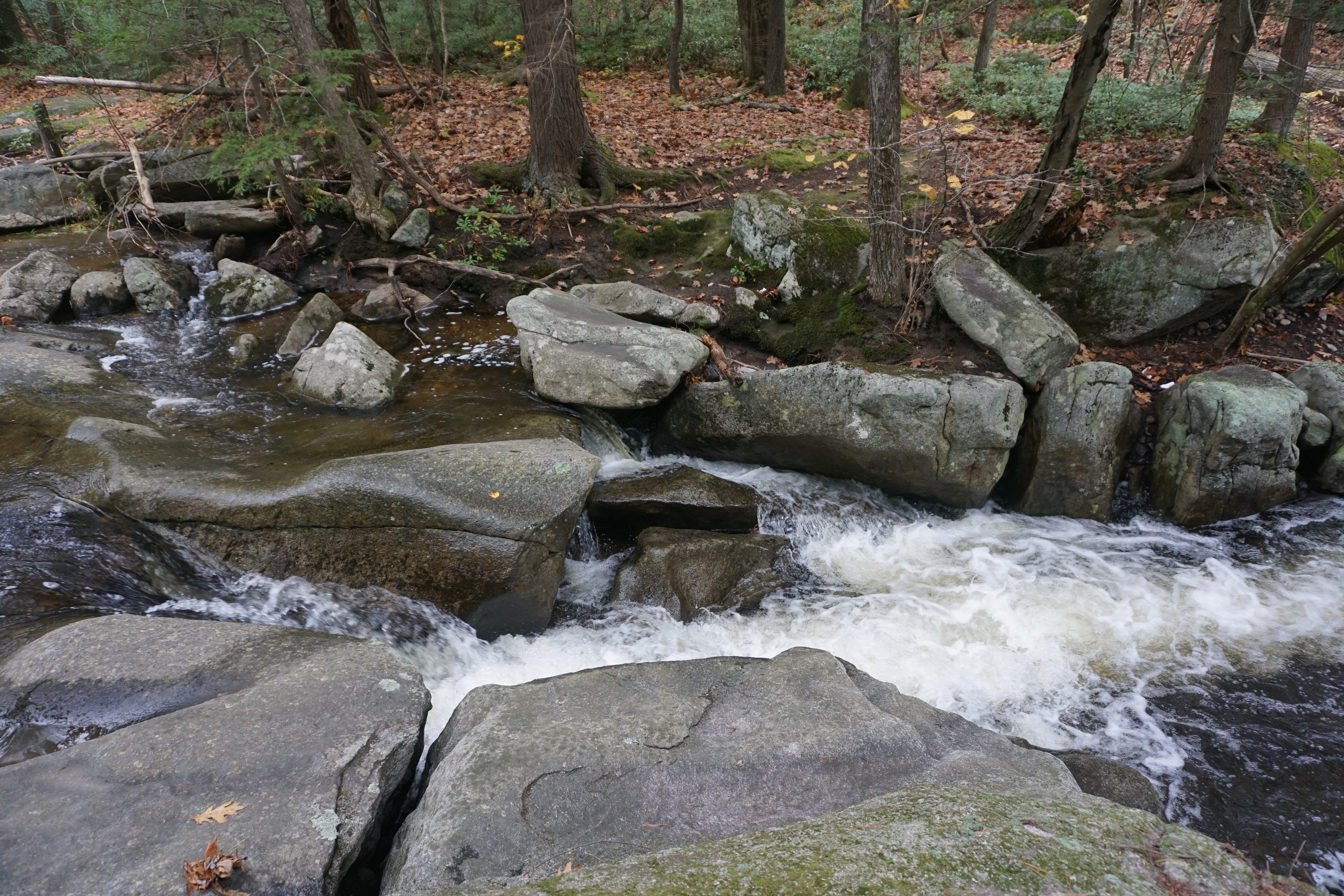
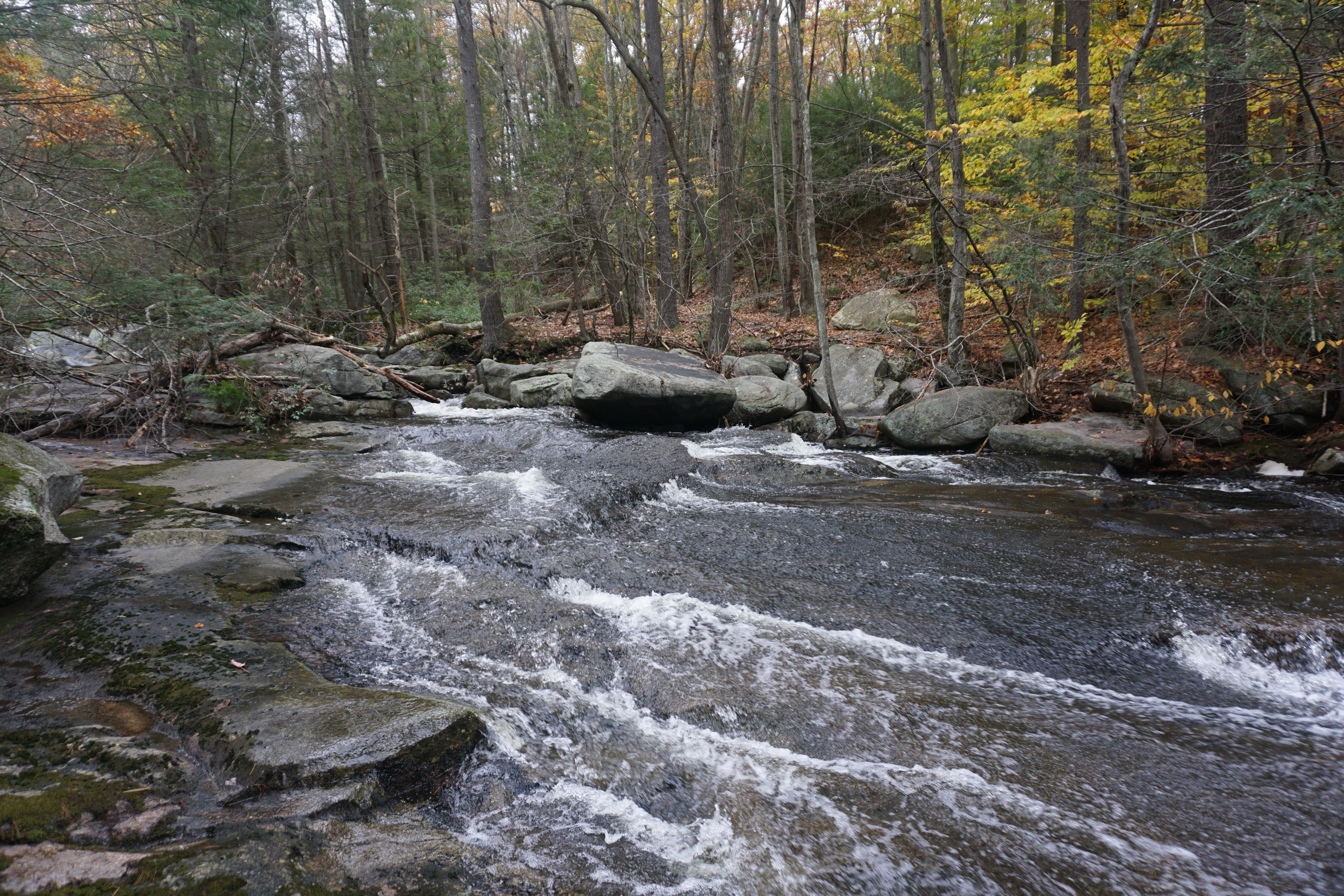
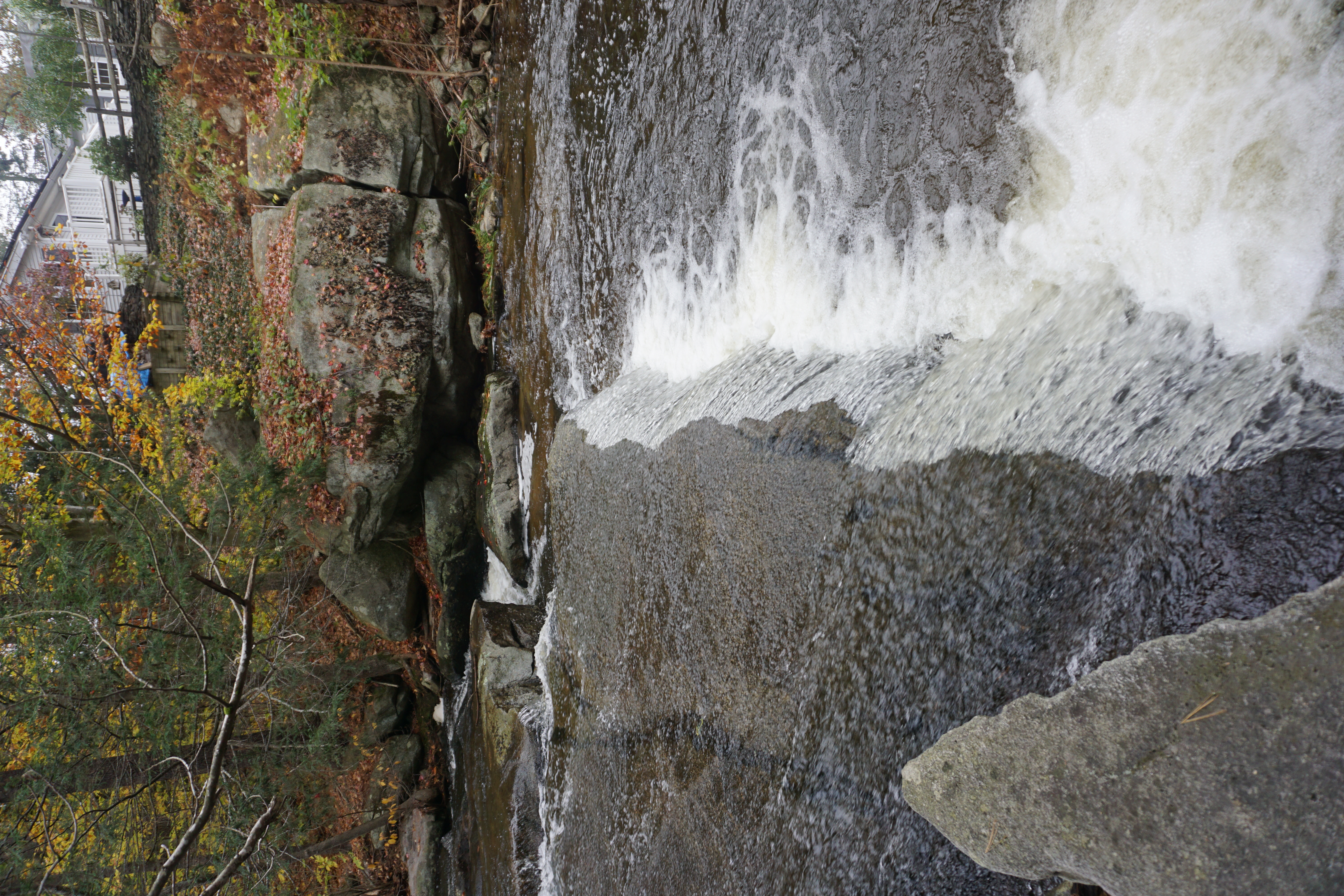
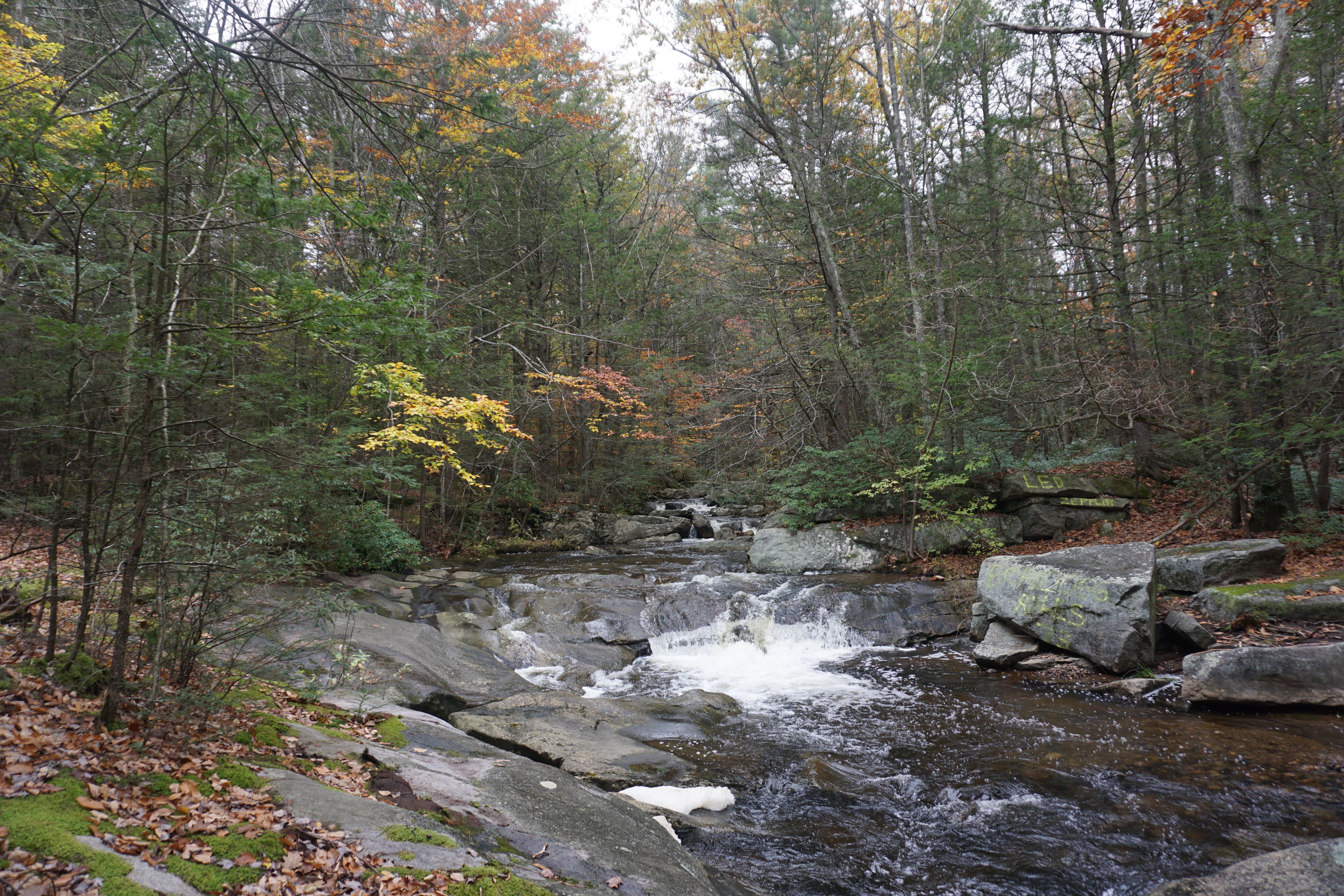
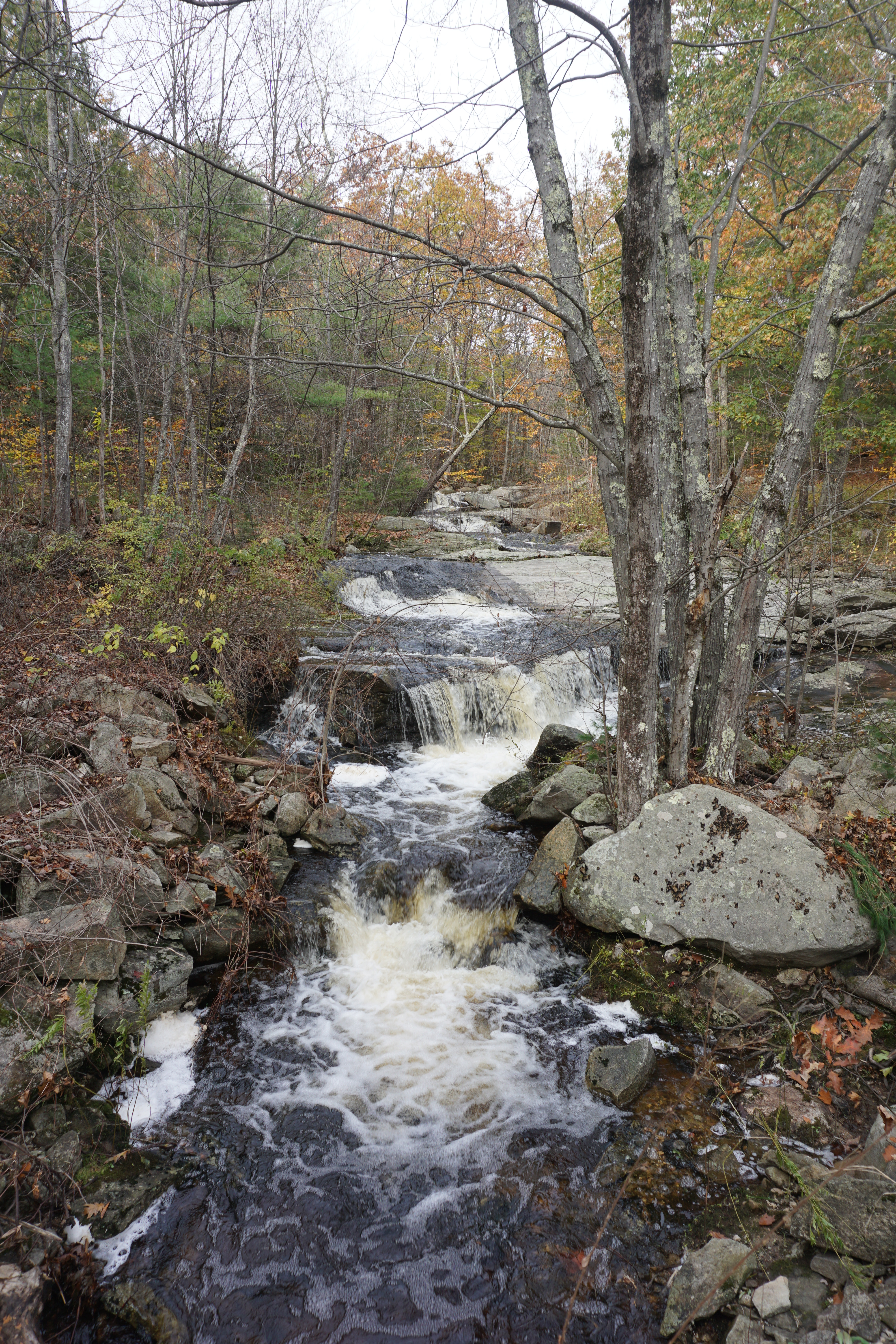
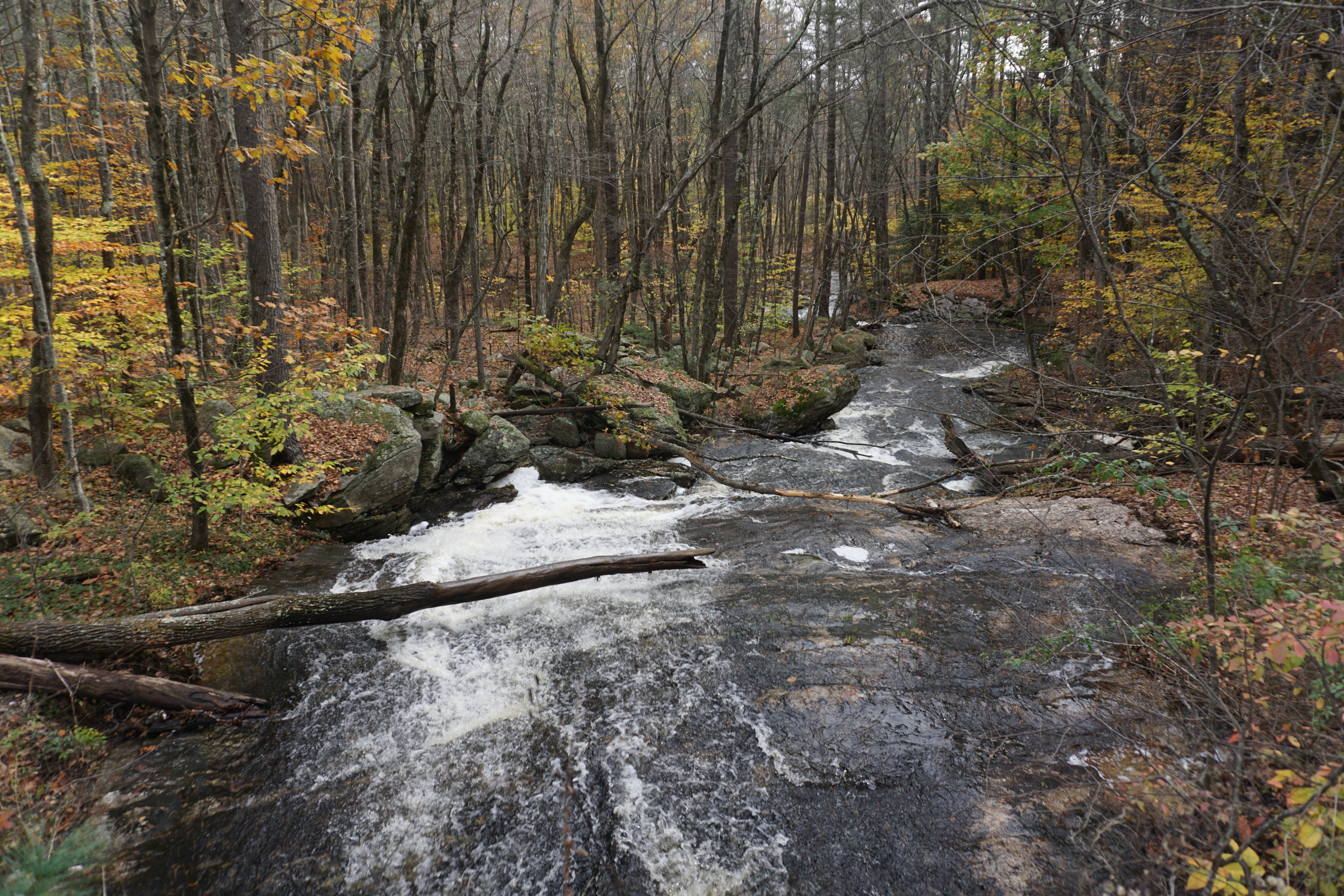
Scott Brook Falls, which apparently were right near by. Unfortunately, there is no trail map available online, and the entrance to the area at Ashby West Road slightly south of Scott Reservoir is actually off limits, although no one seems to care. The path I took pretty much follows the instructions on the link, although I got lost a few times trying to look for the correct path.
My advice is to look for the double yellow spot markings on trees on every left turn you see along the main path, and don't turn until you do.
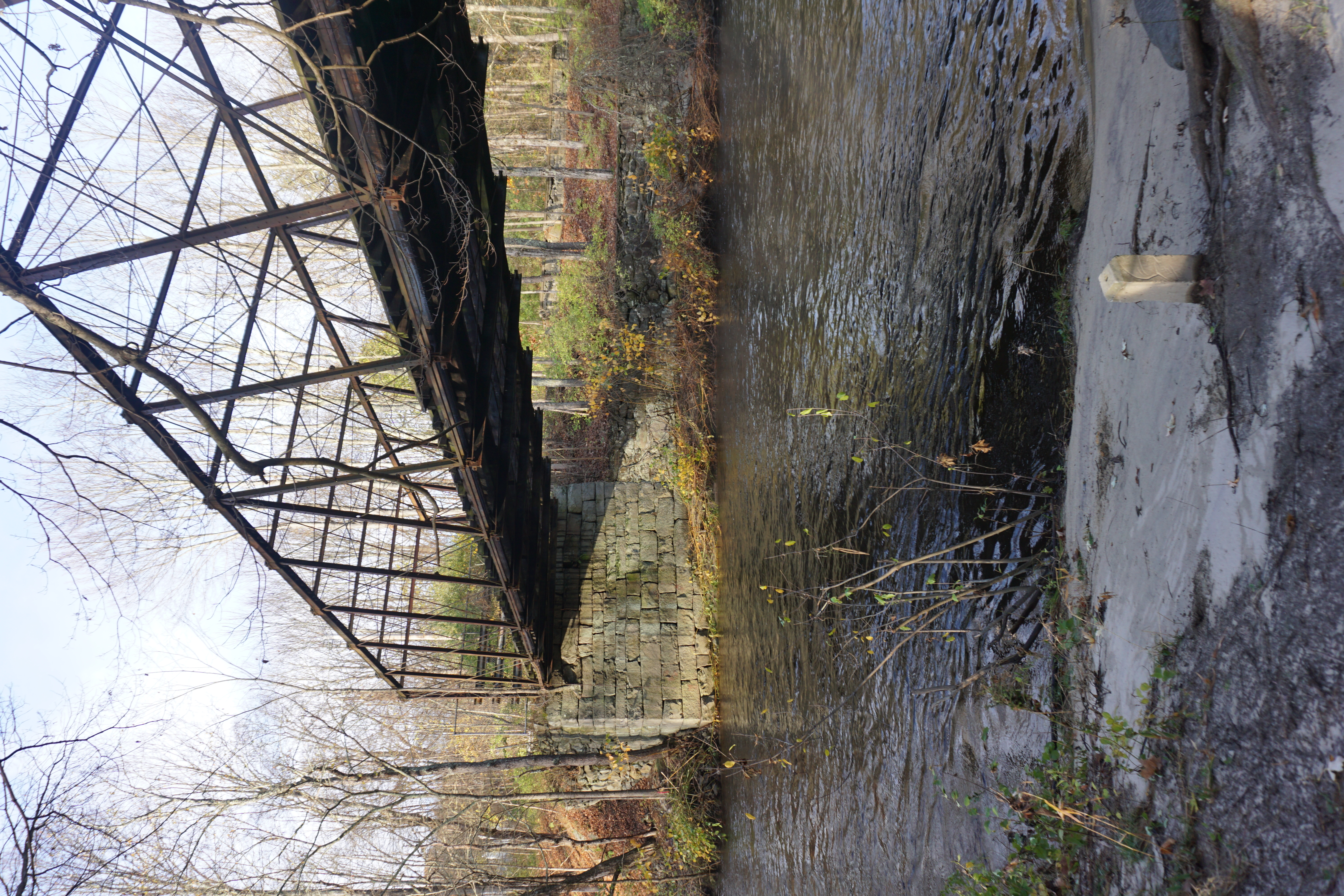
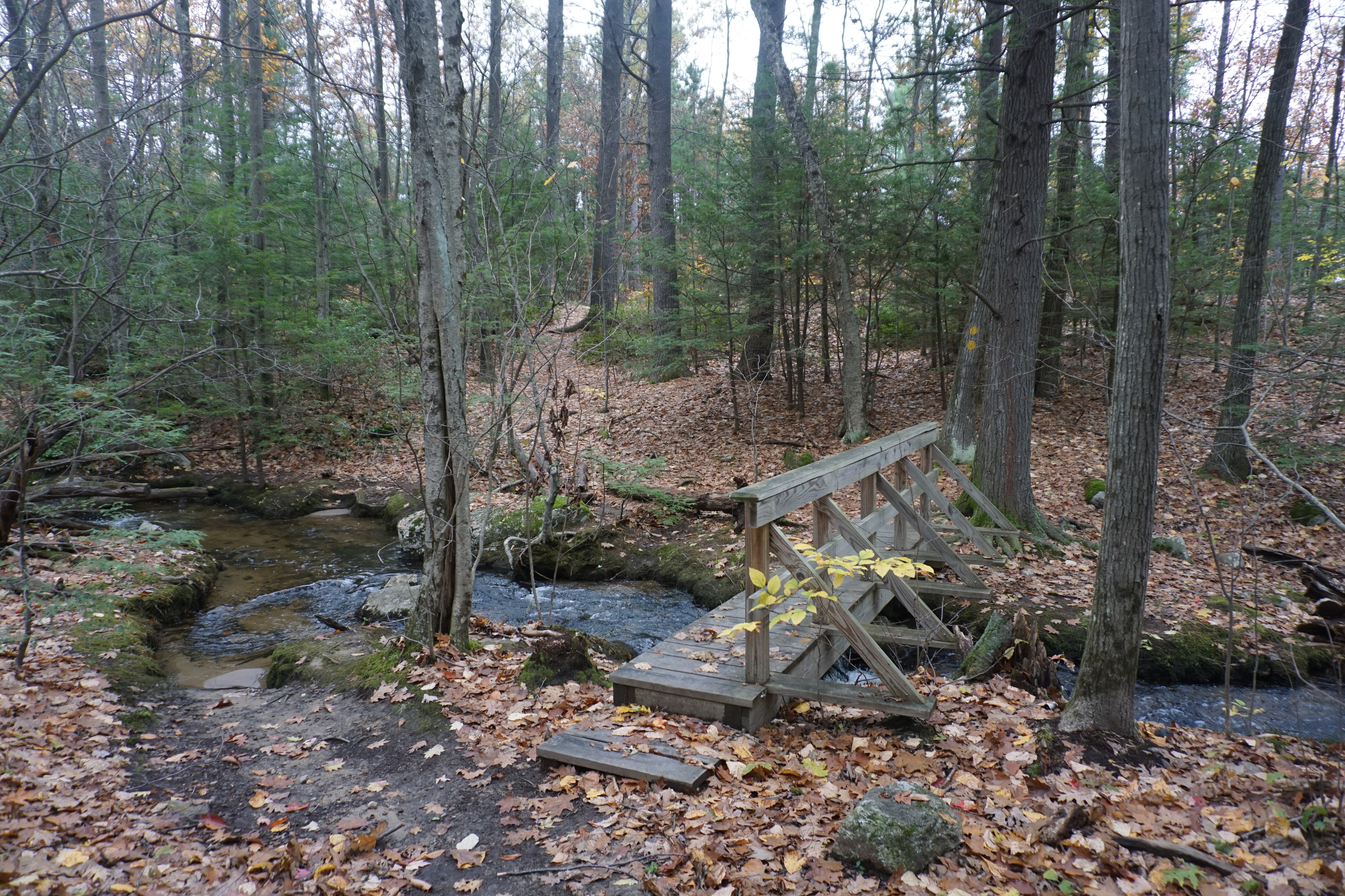
Turning onto the right path, I knew it was right by finding the first footbridge soon after,
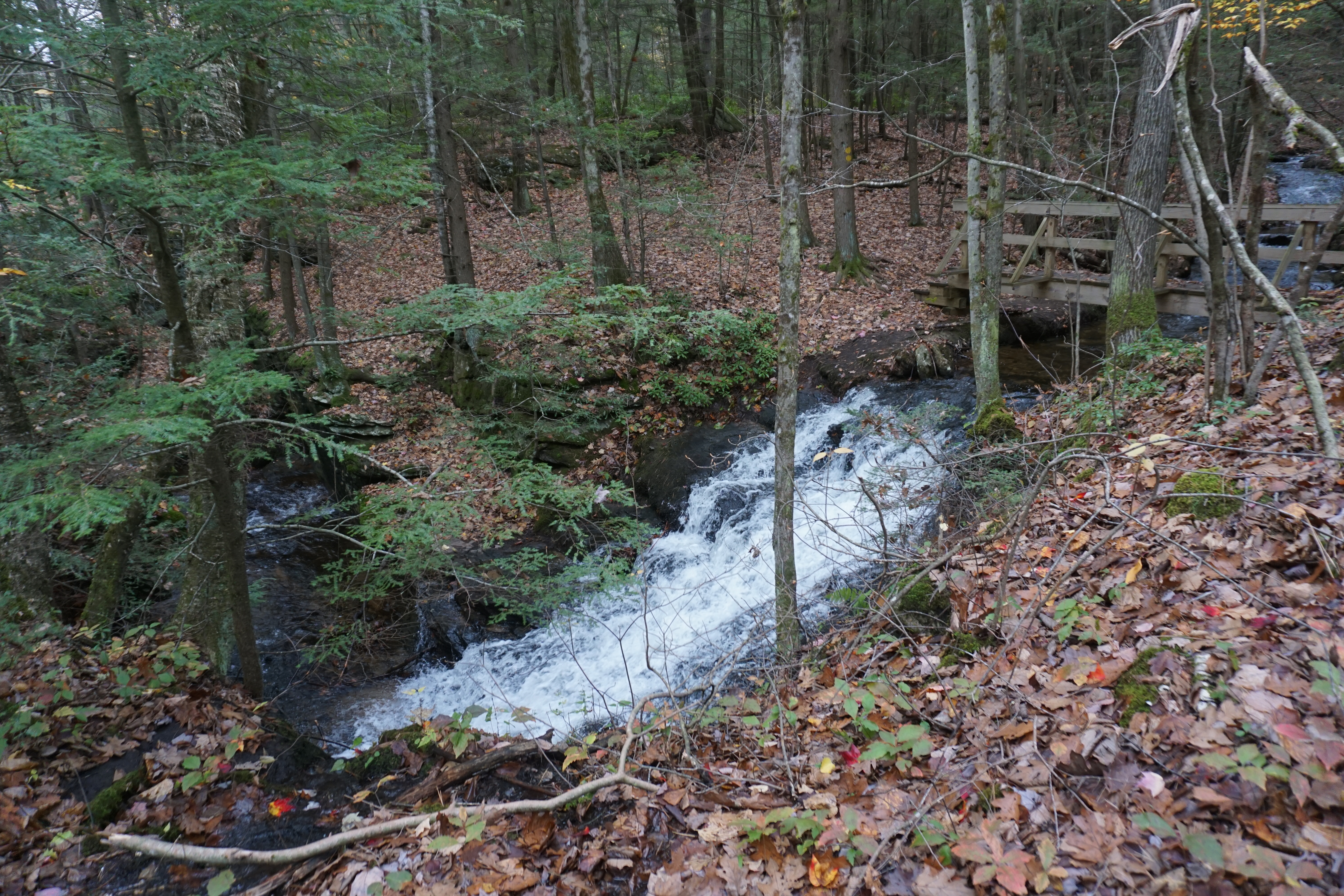
then the second one, where the upper falls were.
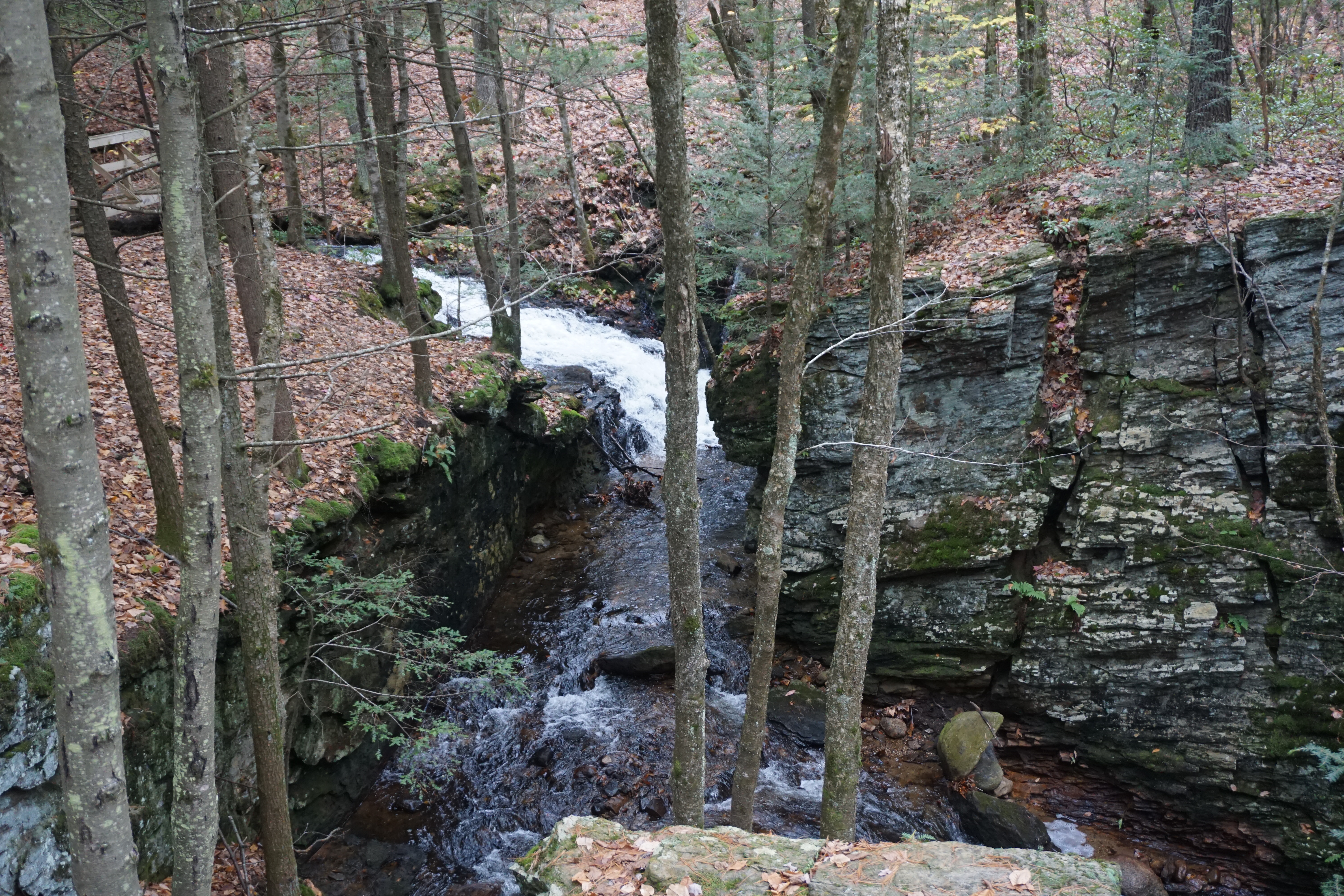
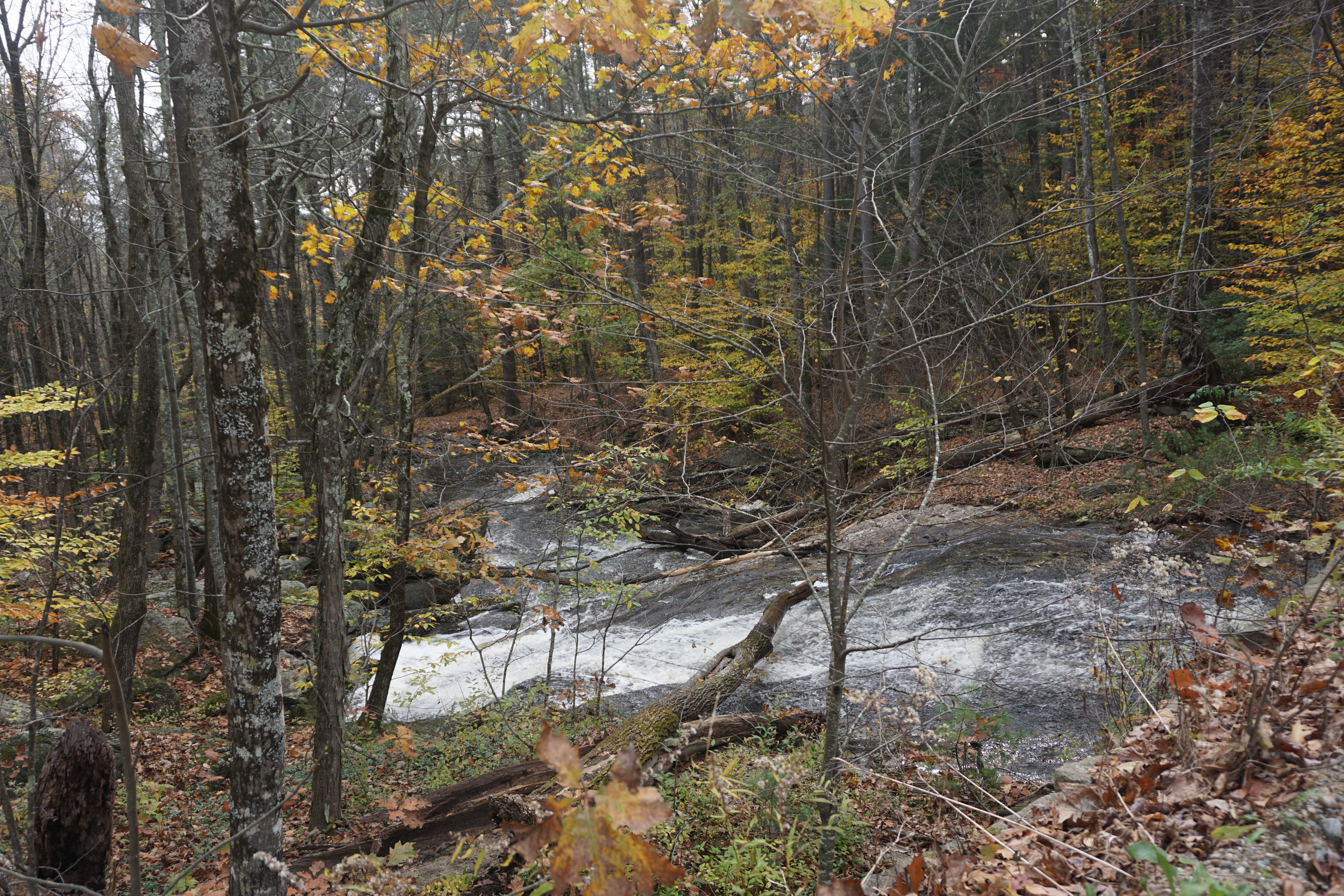
The middle falls were further down the path and right by the reservoir which I as at just a short while ago.
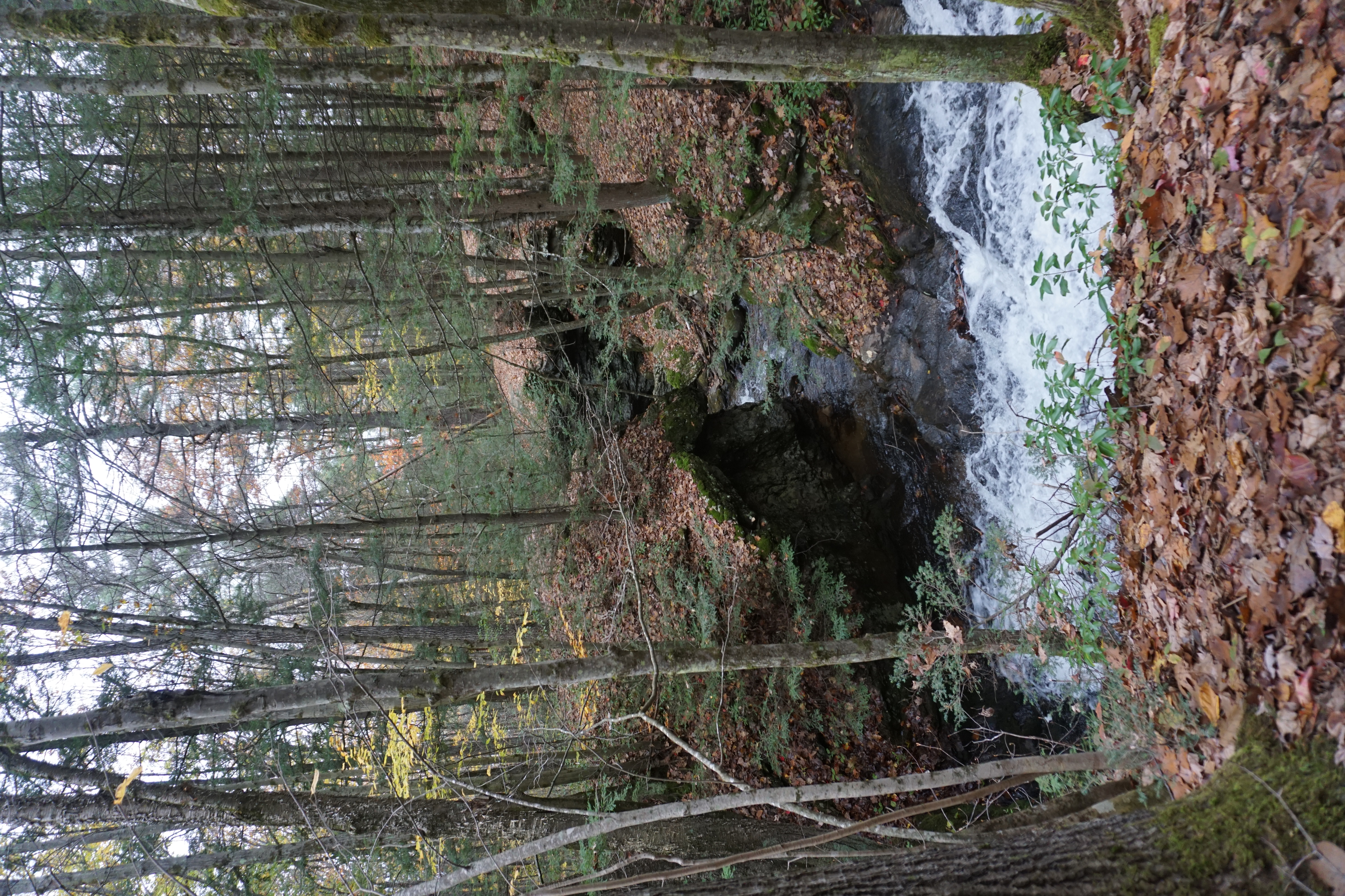
It was a little harder to get to the lower falls, but following the brook was key to getting there.
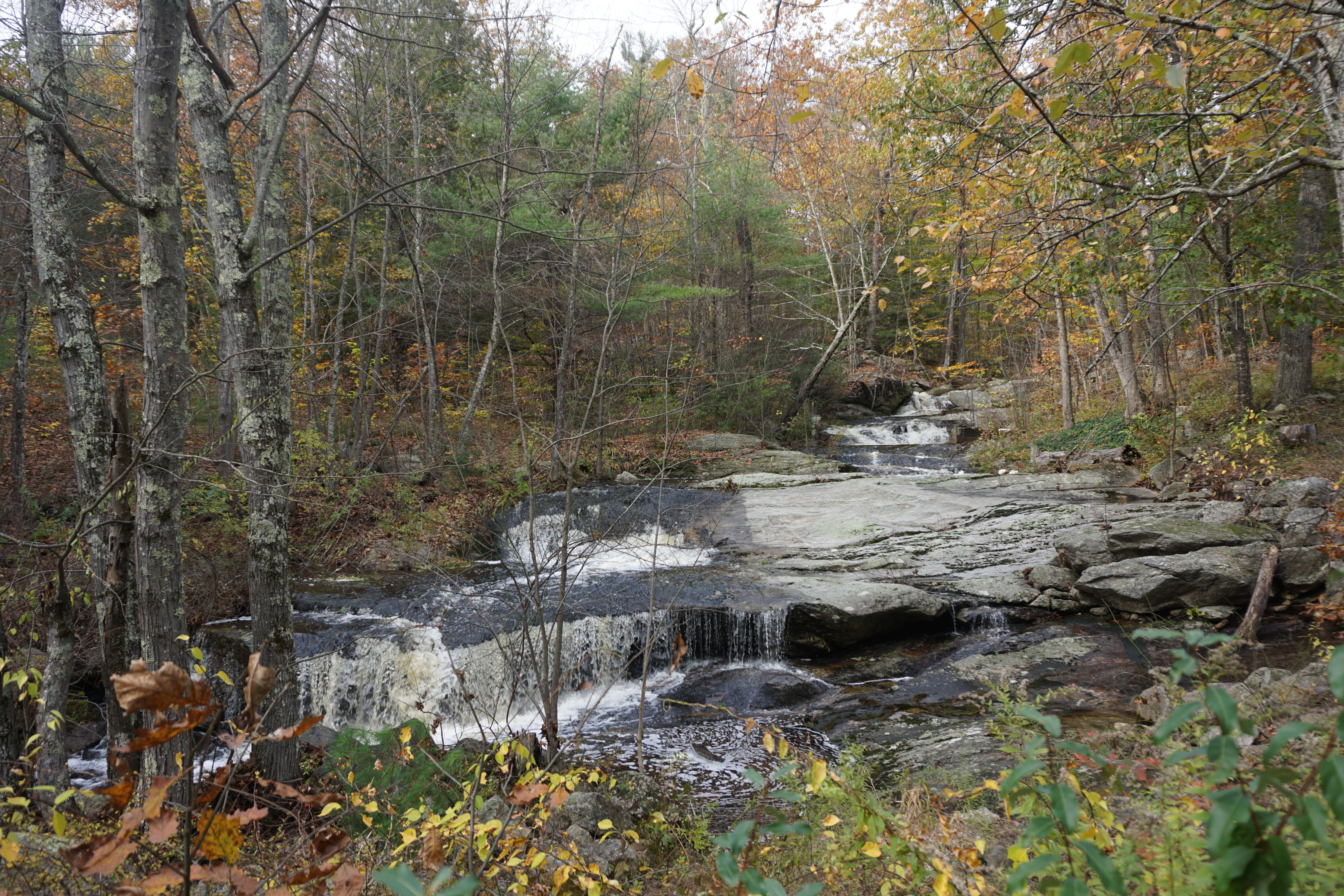
Of all the waterfalls, I think the first one was actually the best and the most natural. From here, I went to check out Scott Reservoir nearby, which was frozen the last time I was here.
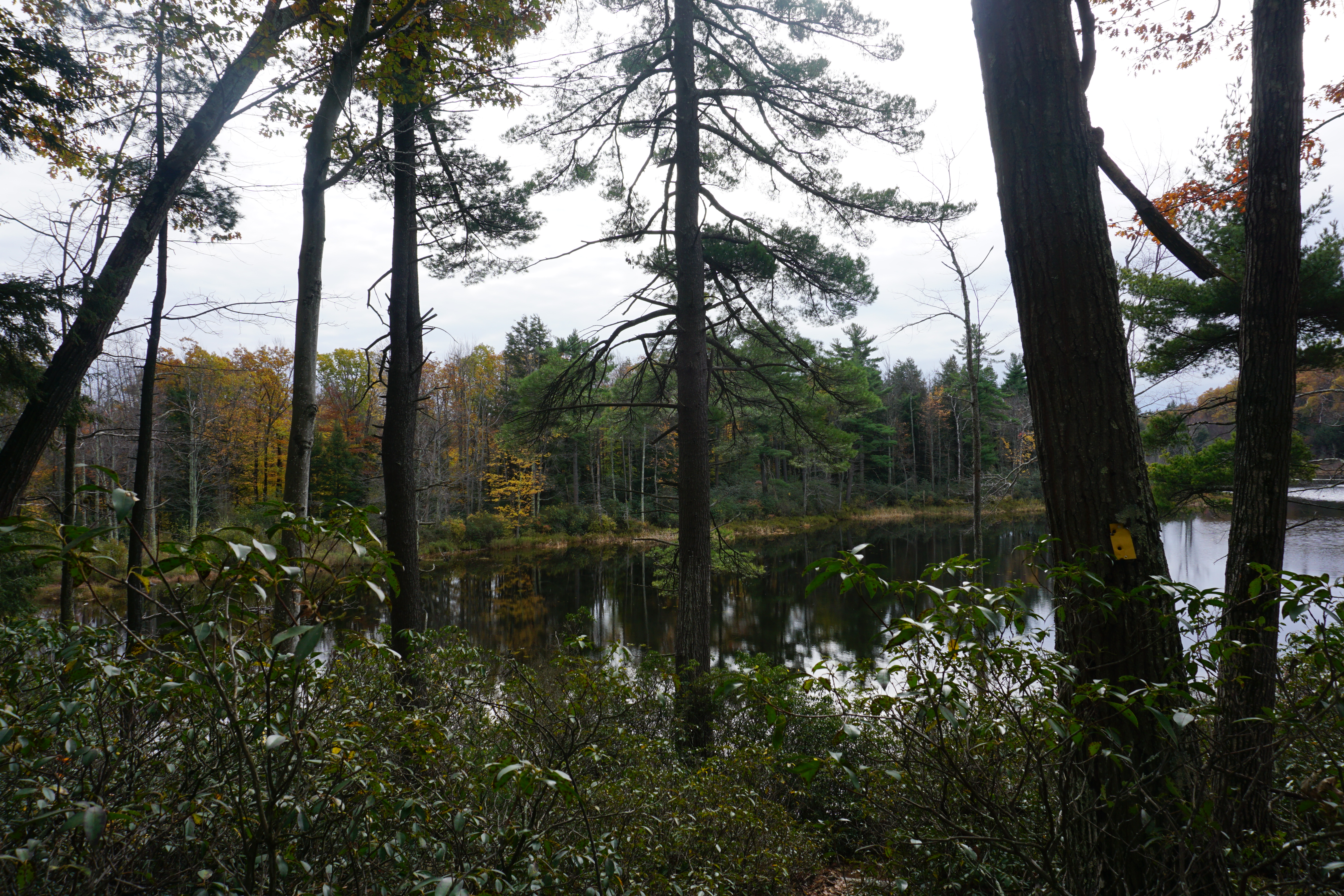
Finally, it was time to venture into New Hampshire into the town of New Ipswich, where my first stop was the Nussdorfer Nature Area, the entrance to which is located at 77 Turnpike Road located north of Kenney Road, with a large sign for the place. With no map available, I followed the yellow blazes from the parking area to Hoar Pond, where I took partial views of the pond.
Overall, nothing really spectacular about this place.
I visited a few other places in town
before heading into the town of Greenville NH,
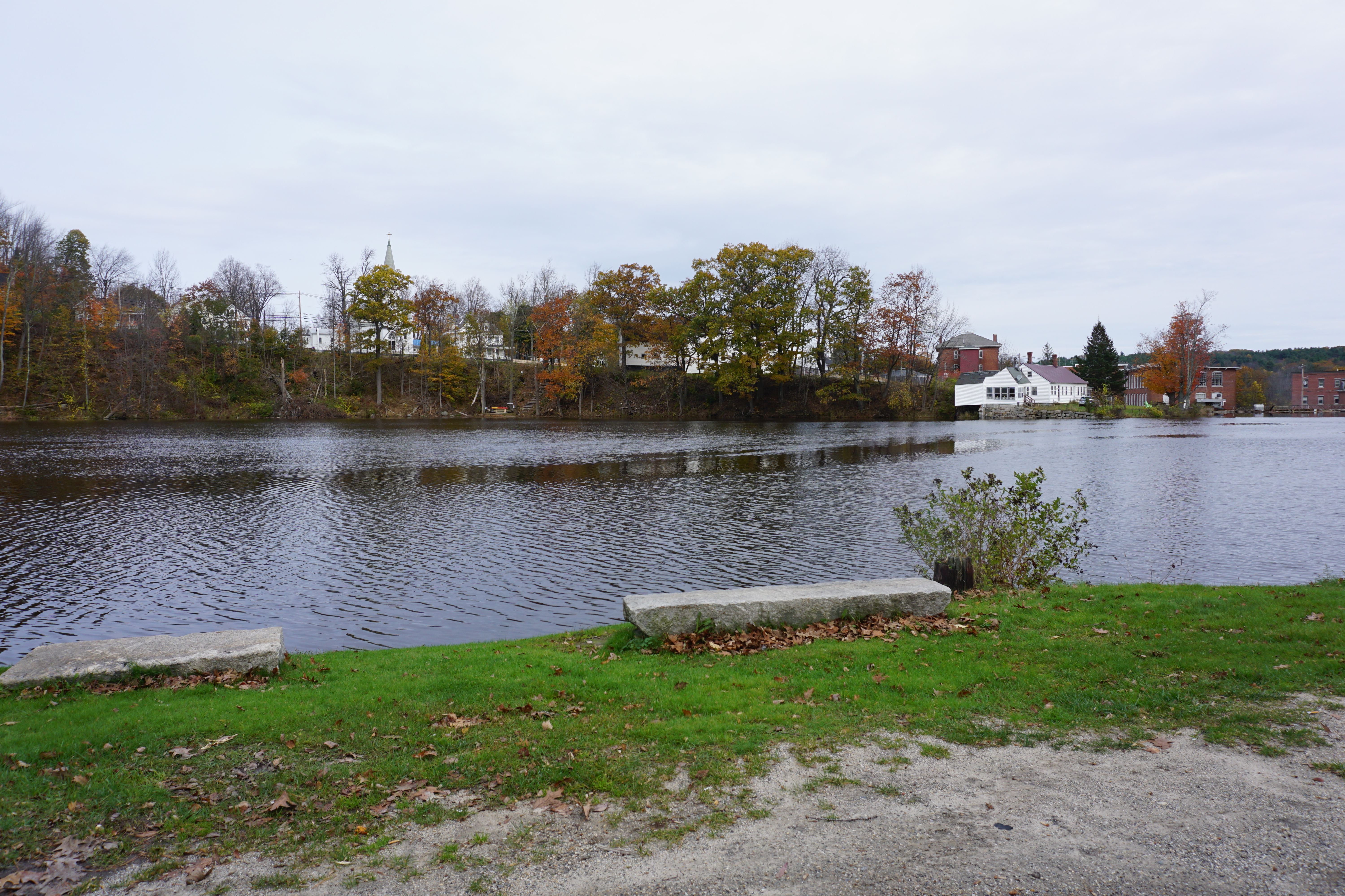 |
| Riverside Park, 43 River Street |
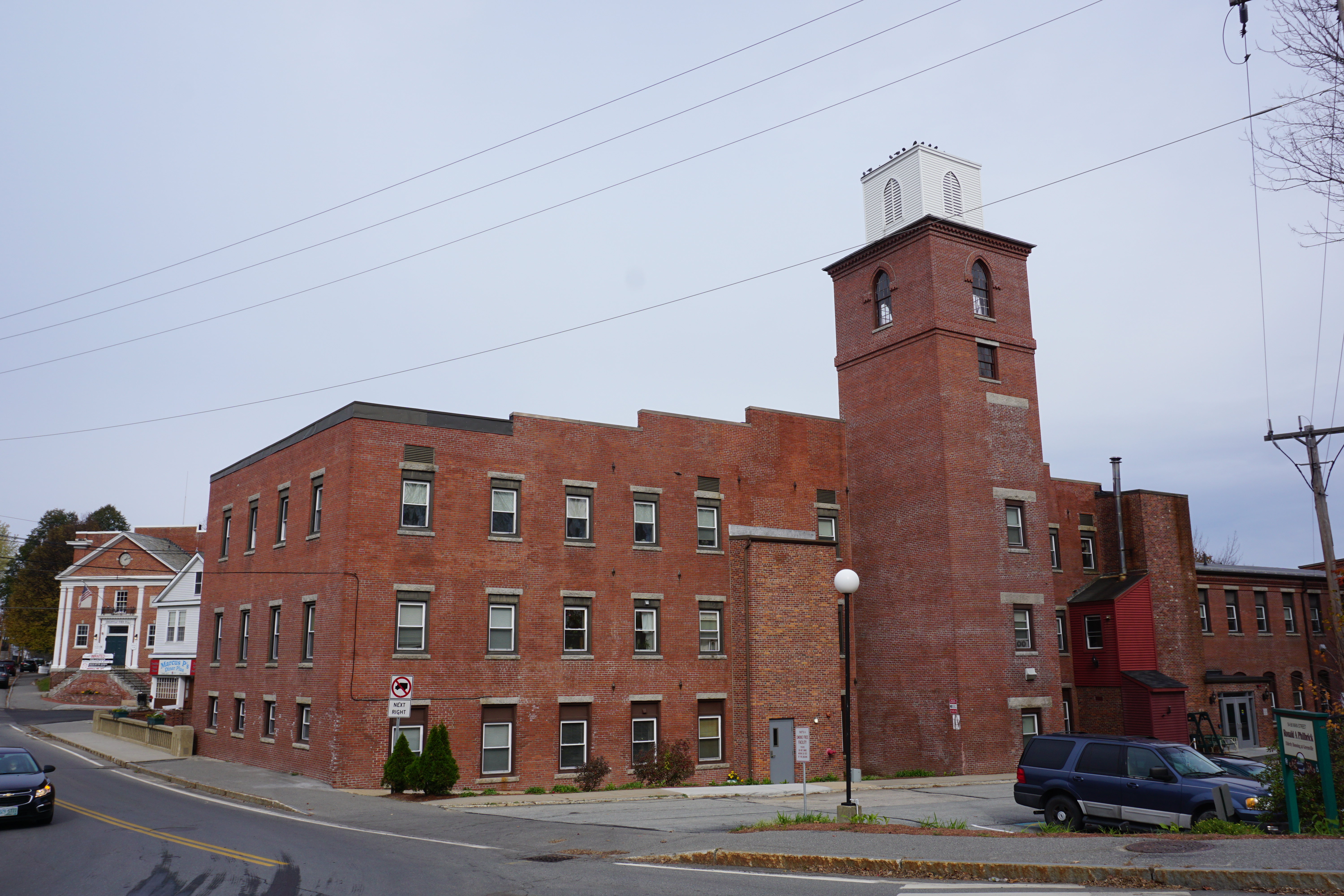 |
Ronald A Philbrick Elderly Housing,
54 Main Street |
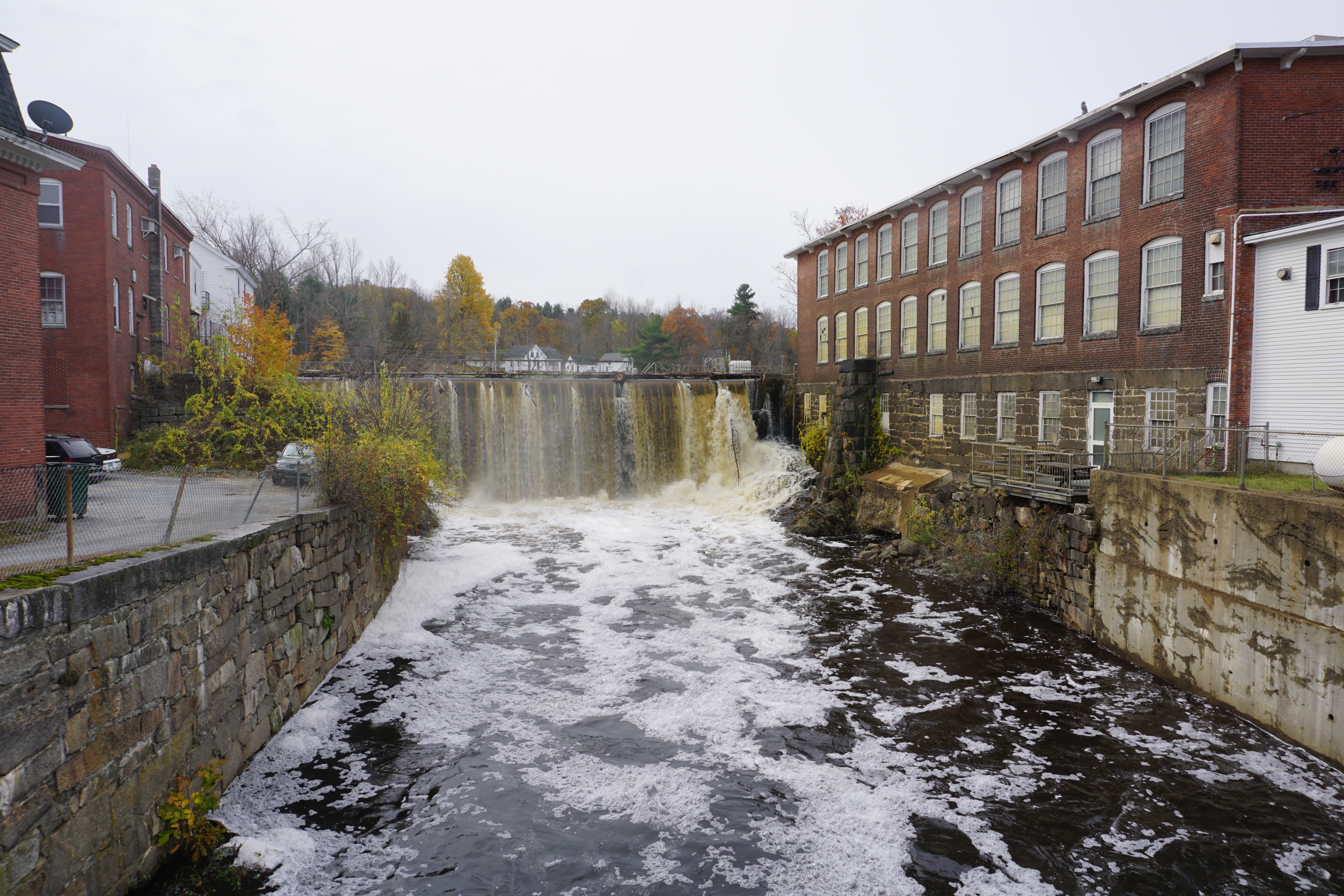 |
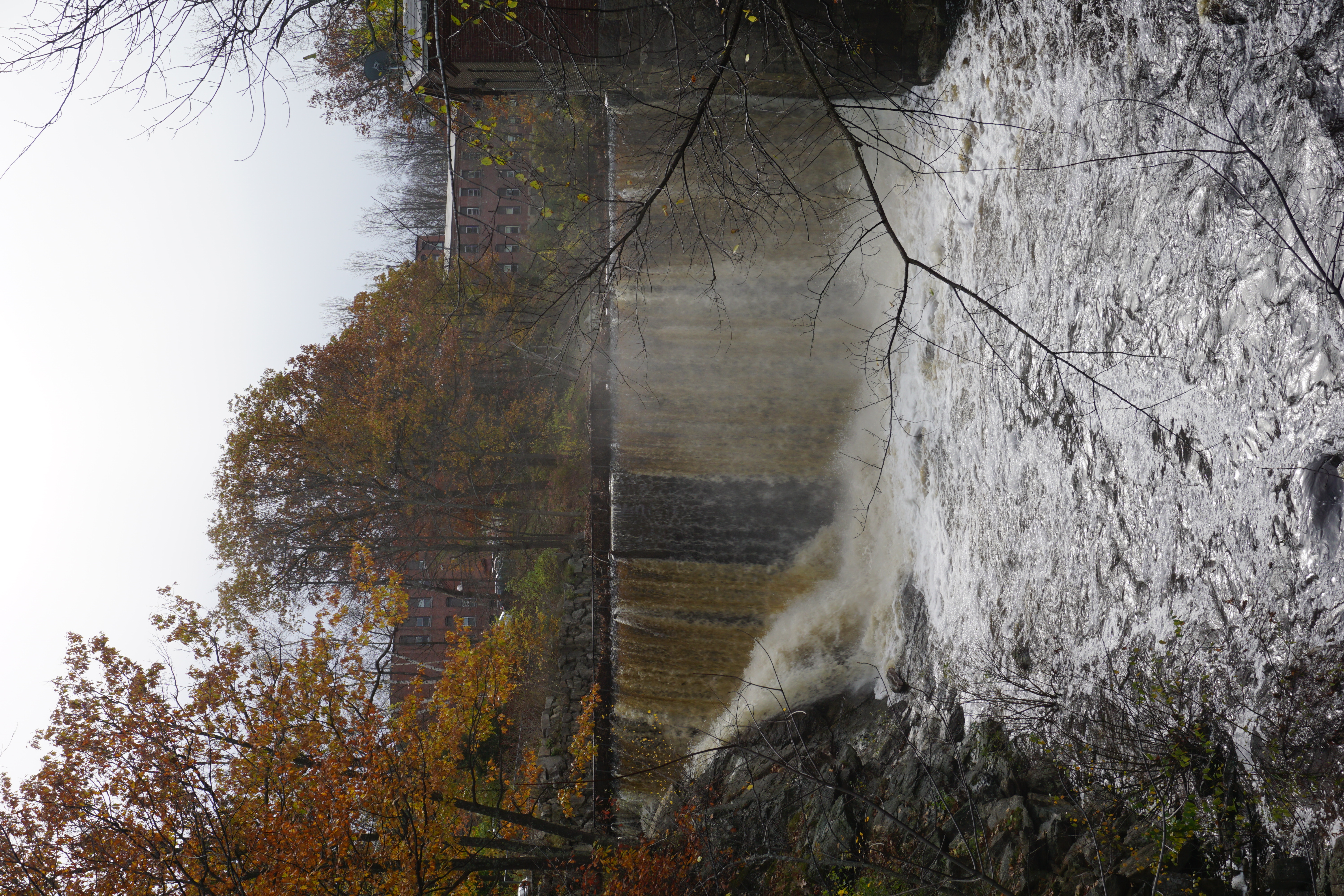
| Greenville Upper Falls, 55 Main Street |
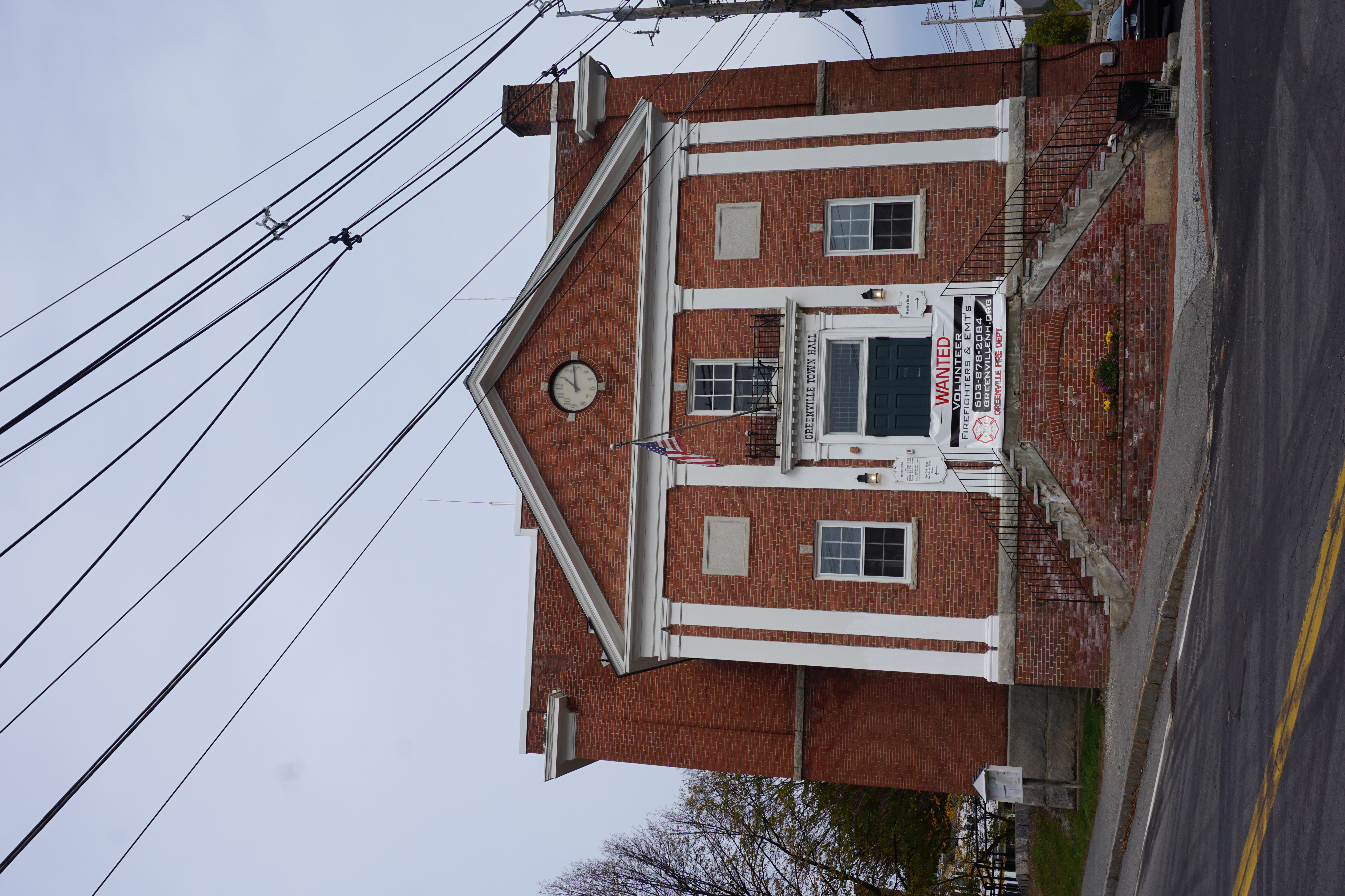 |
| Town Hall, 46 Main Street |
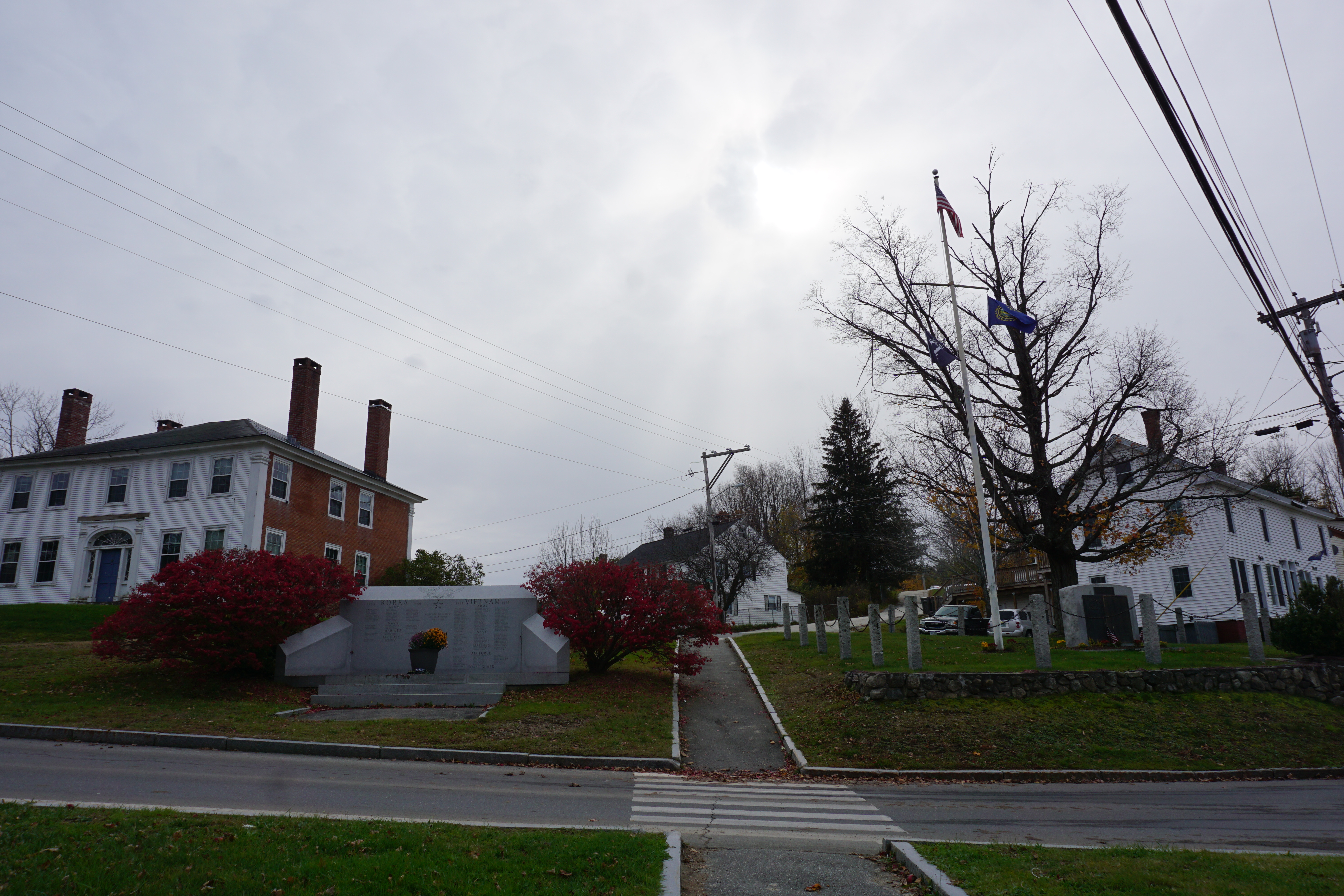 |
| War Memorials, River Street amd Main Street |
 |
| Greenville Gorge, 26 Mill Street |
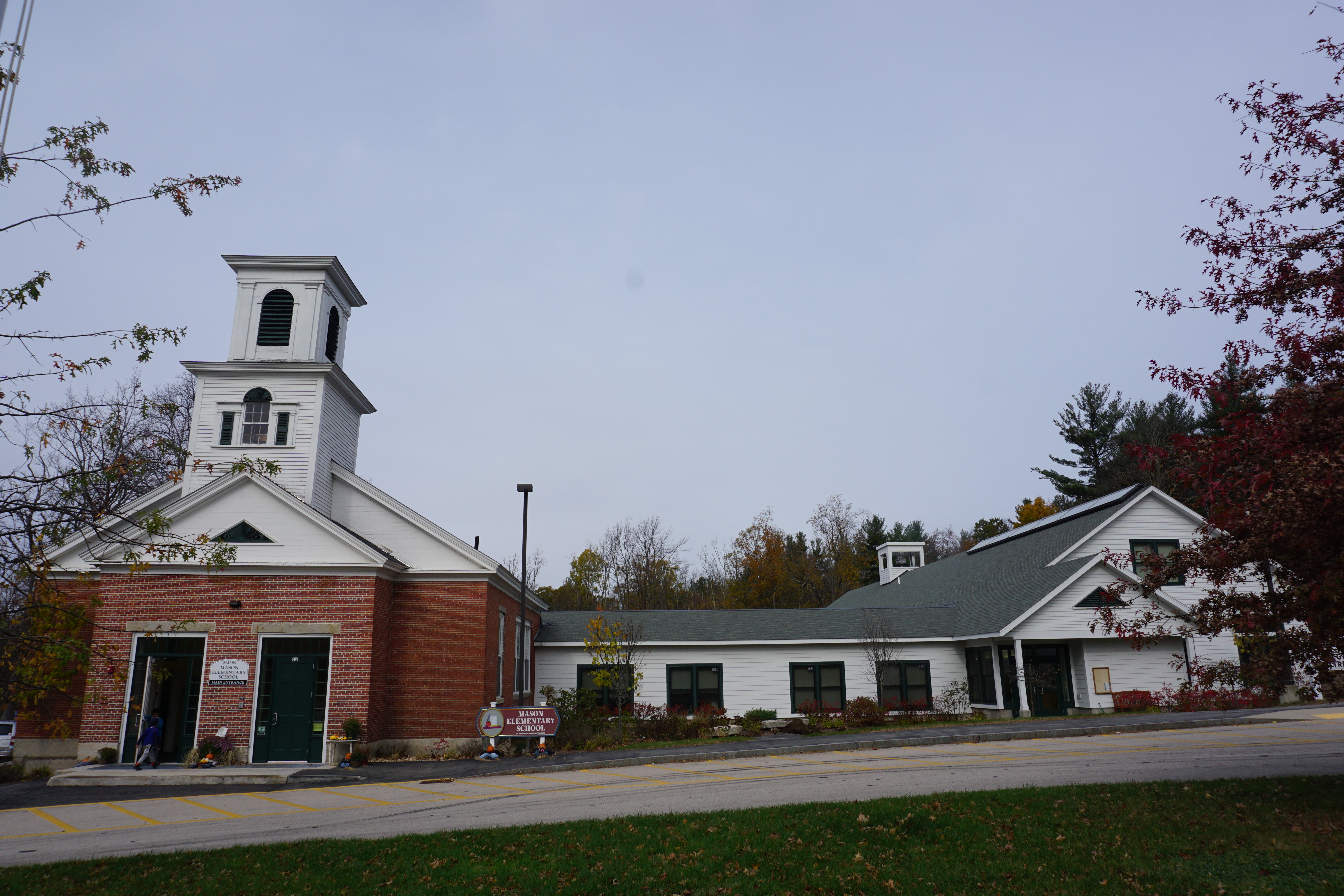
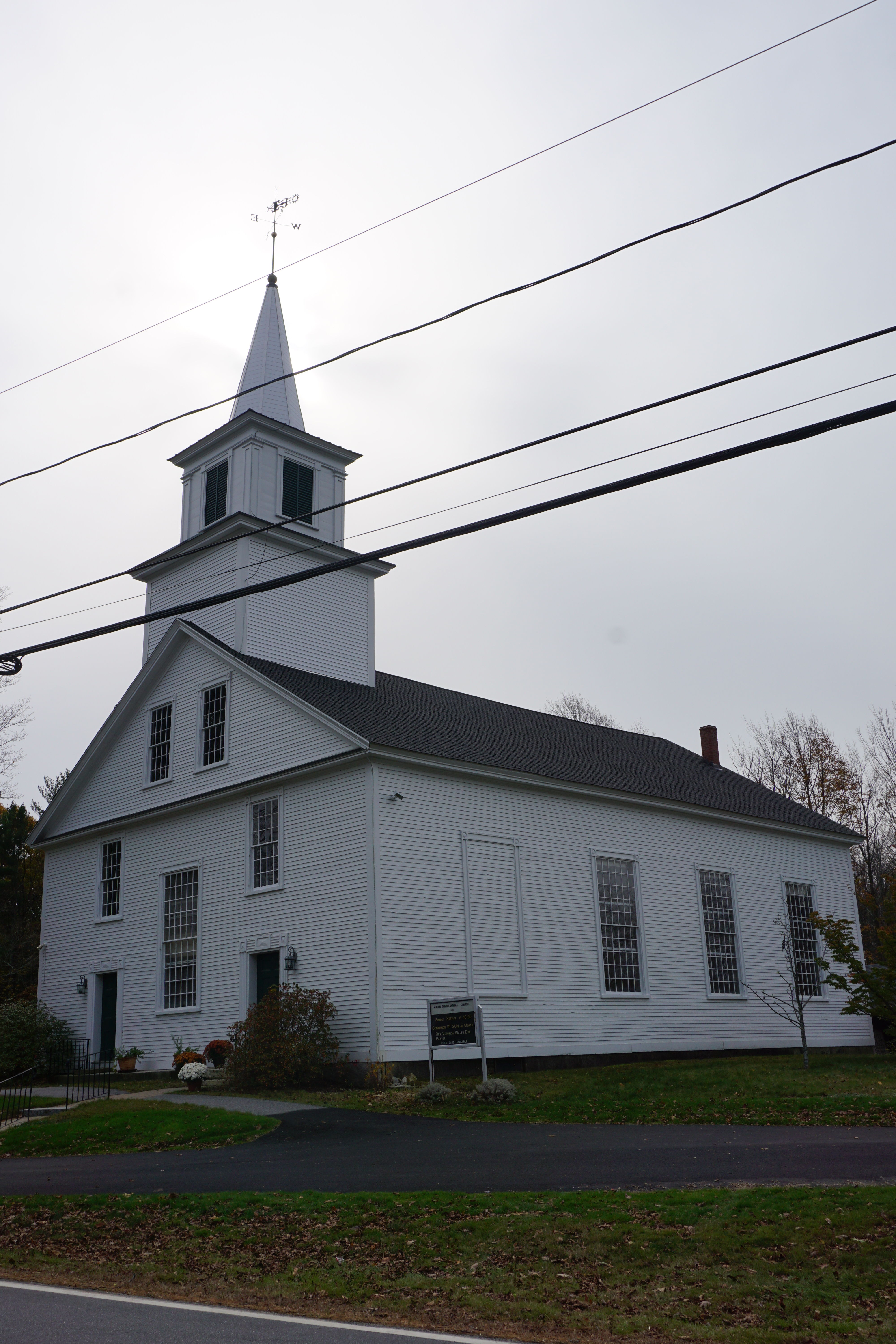
then Mason NH,
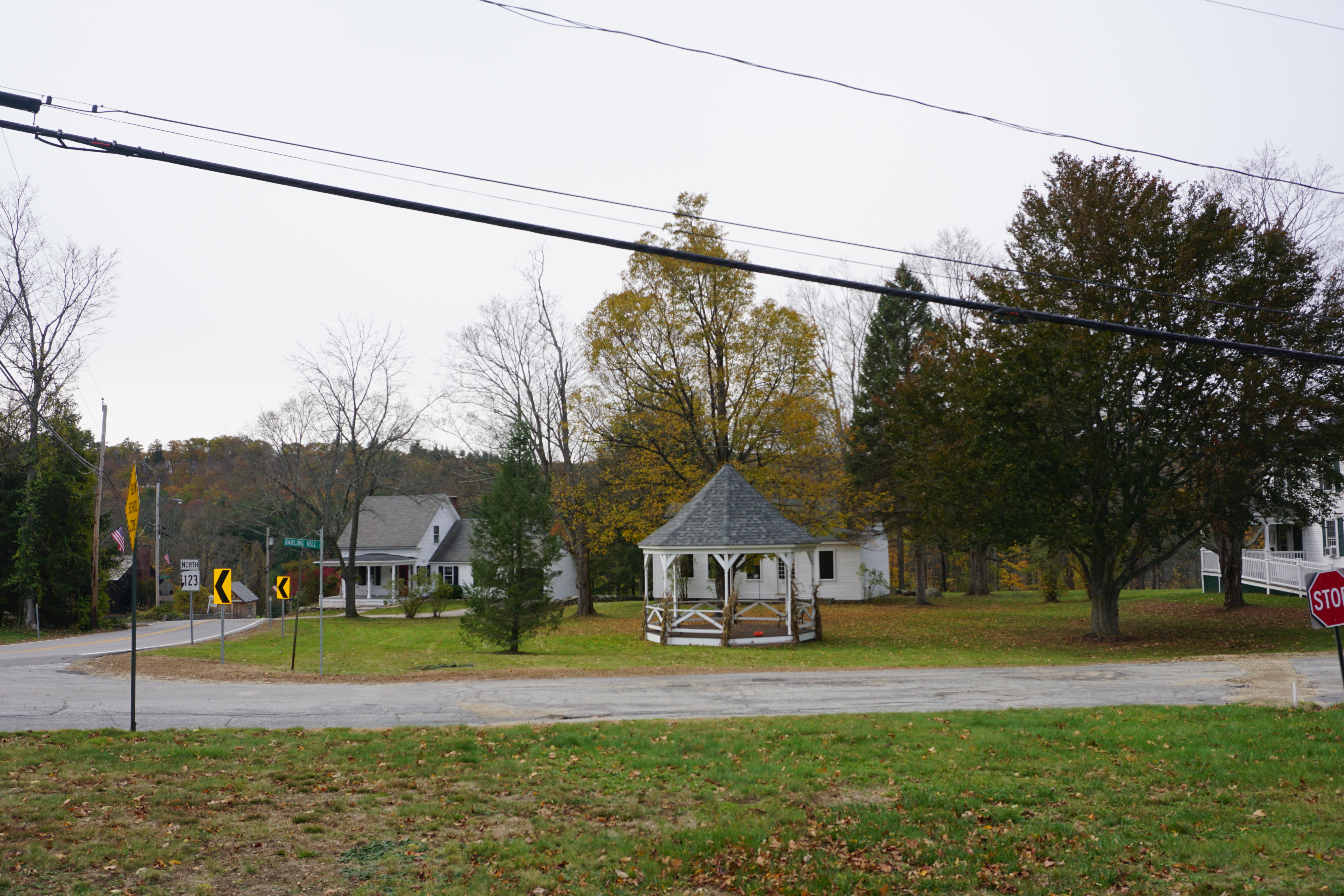 |
Town Common,
Darling Hill Road and Merriam Hill Road |
where I tried to look for The Falls on Cascade Road,
but as it is supposedly at 42.7363,-71.7664, and I did not bushwhack to get to it, I don't think I saw it after all. I will probably try again next time I am in the area.
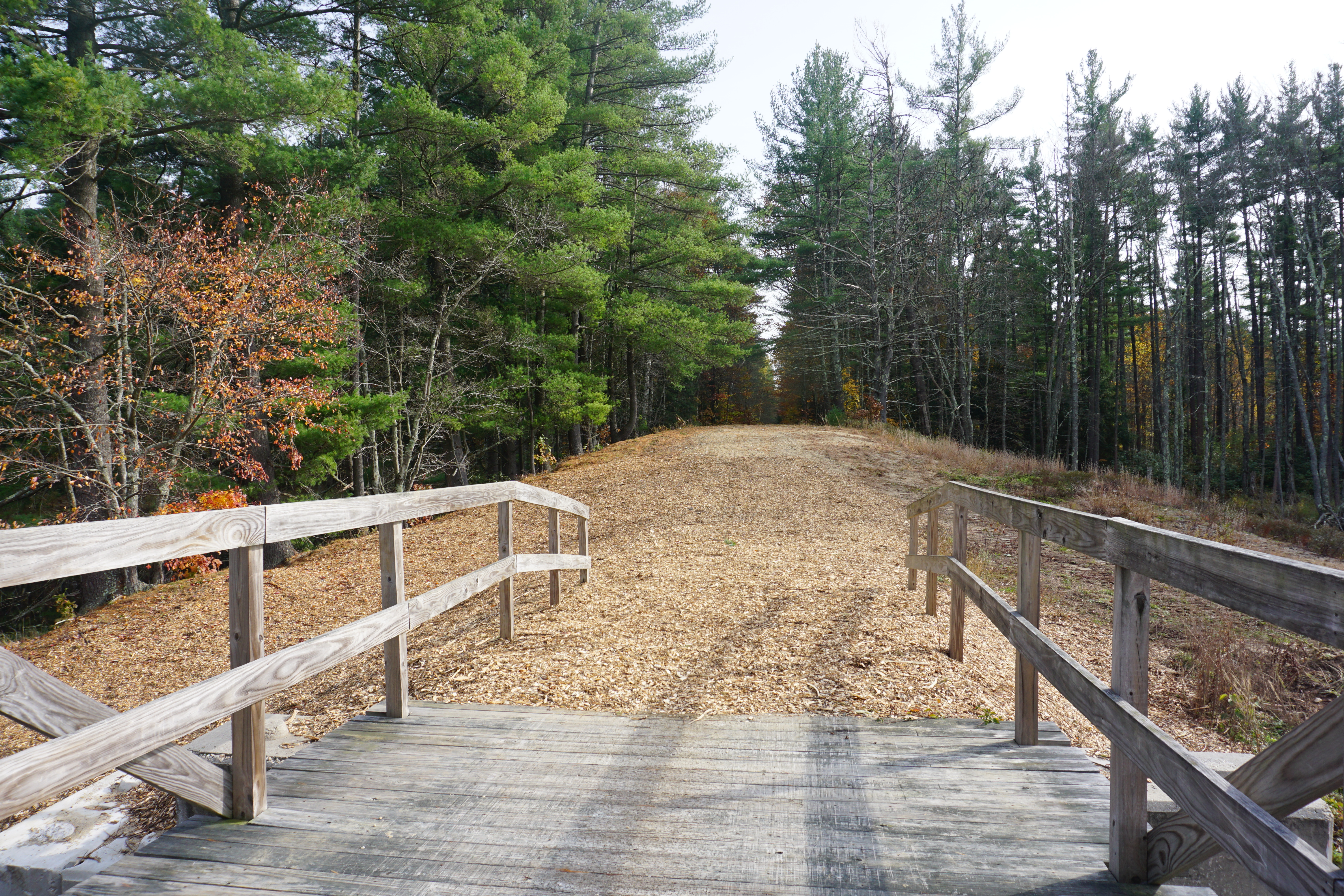
Next, I went on a short hike on the Mason Railroad Trail, starting from 56 Russell Road to get to the water bodies south of the trailhead. The path I took here is shown below in pink on Google Maps.
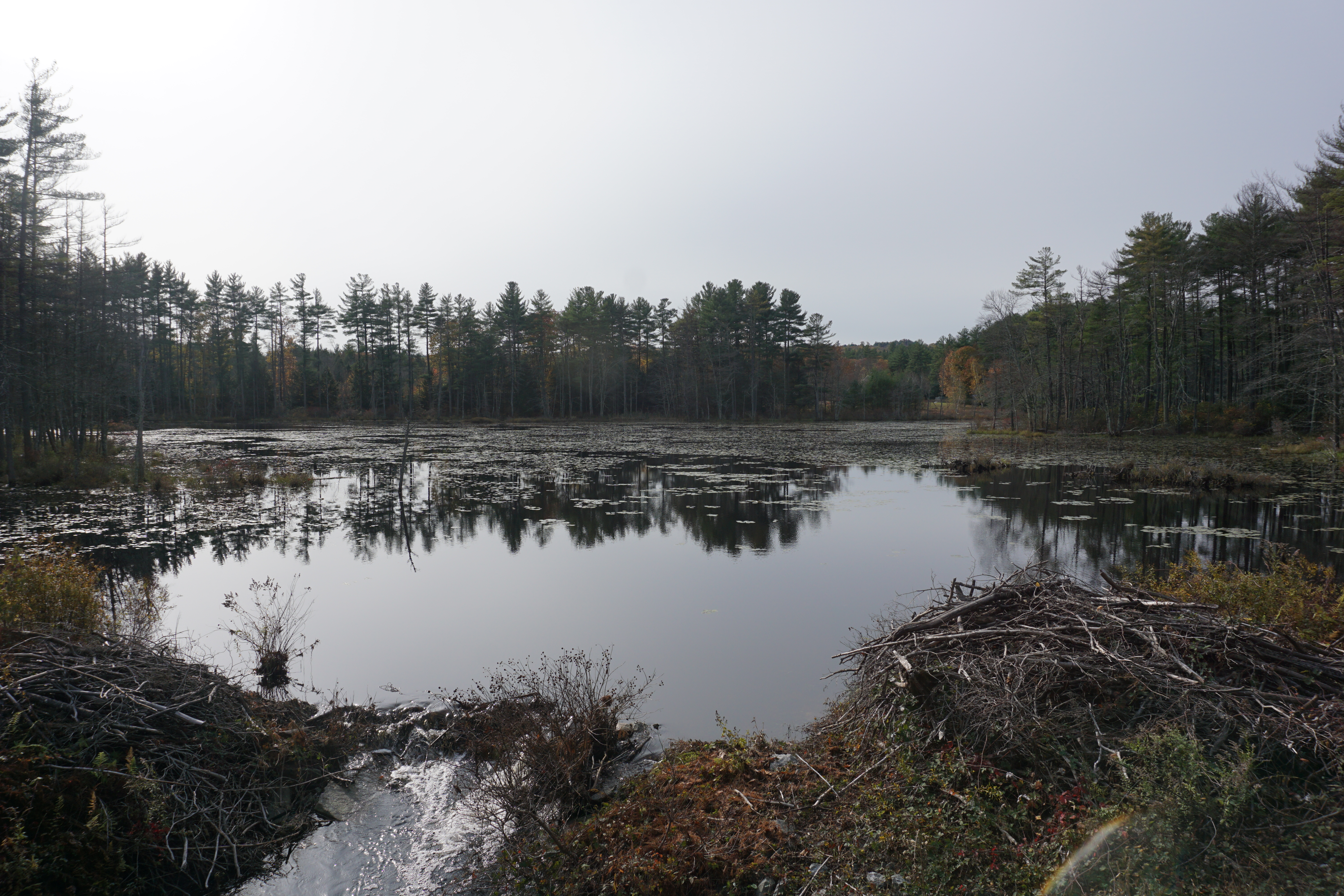
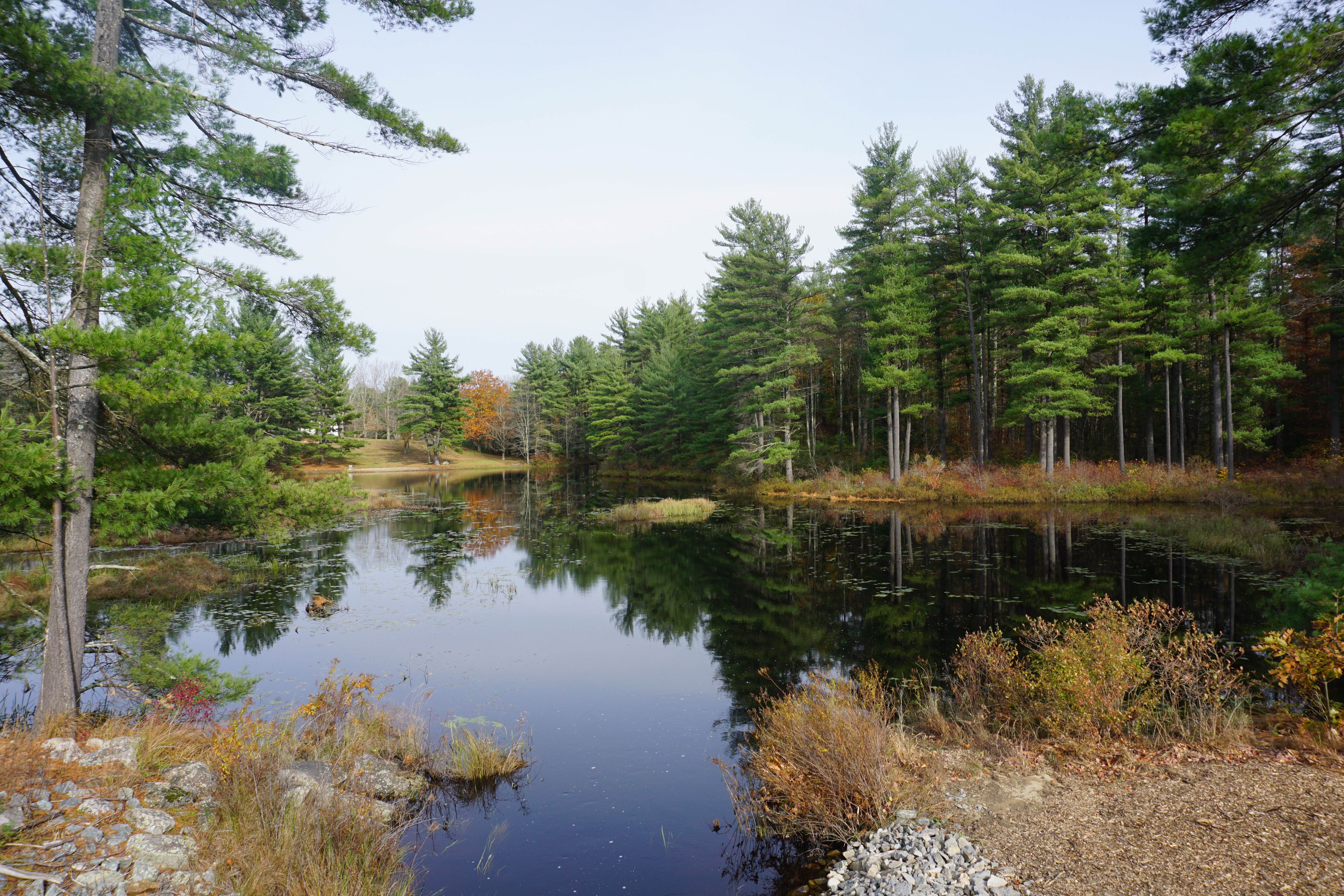
The water bodies were actually pretty nice, with a bridge in the middle.
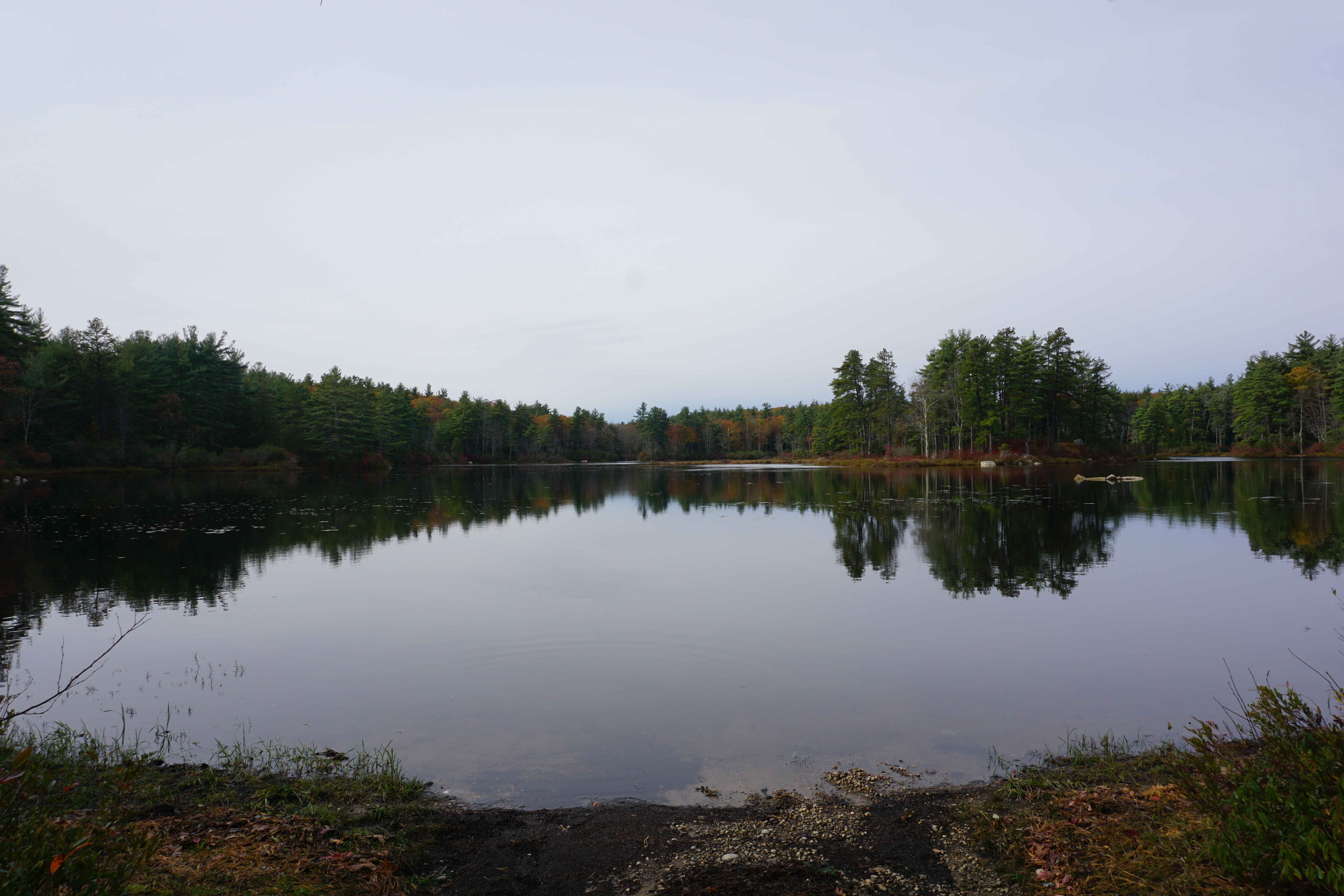
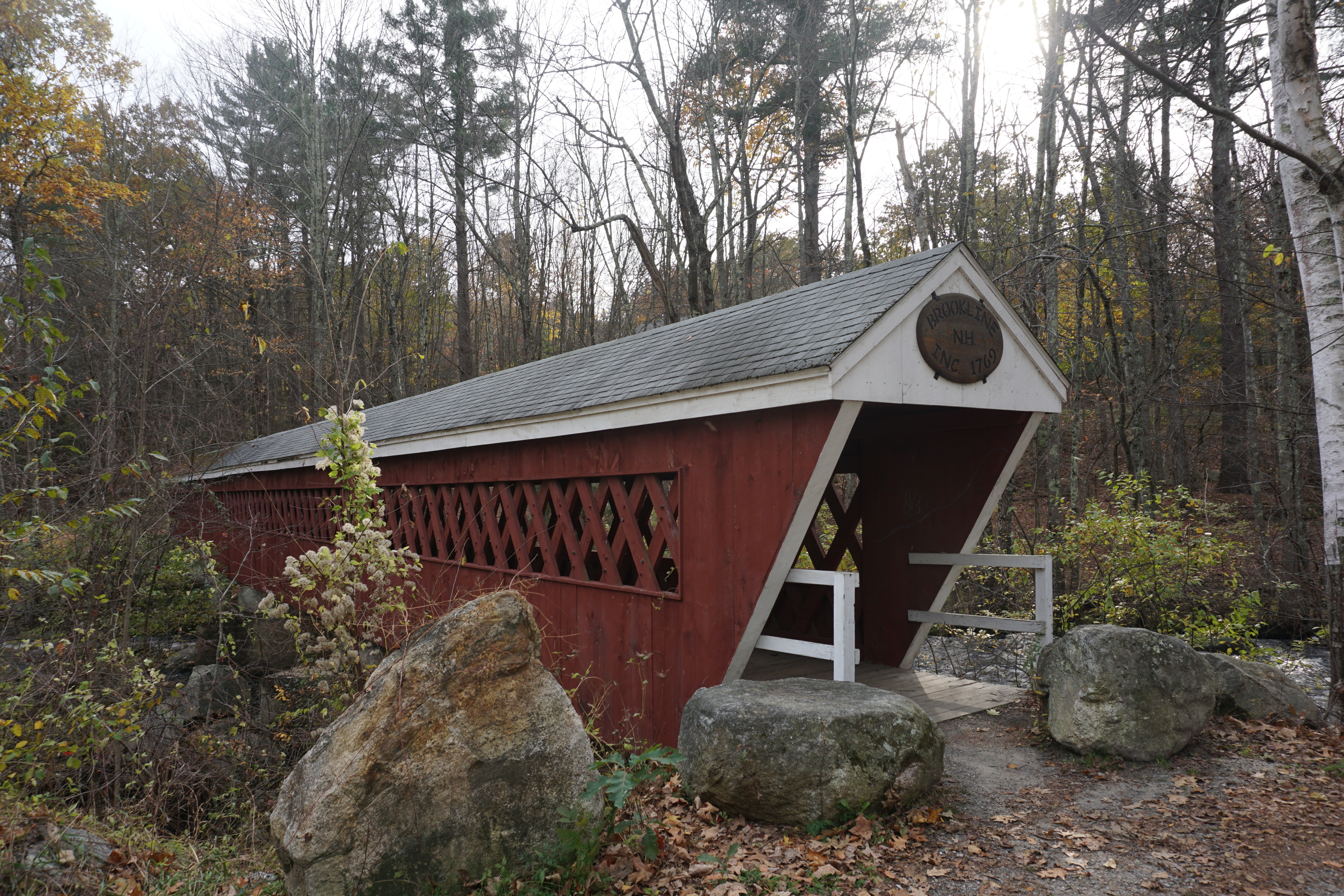
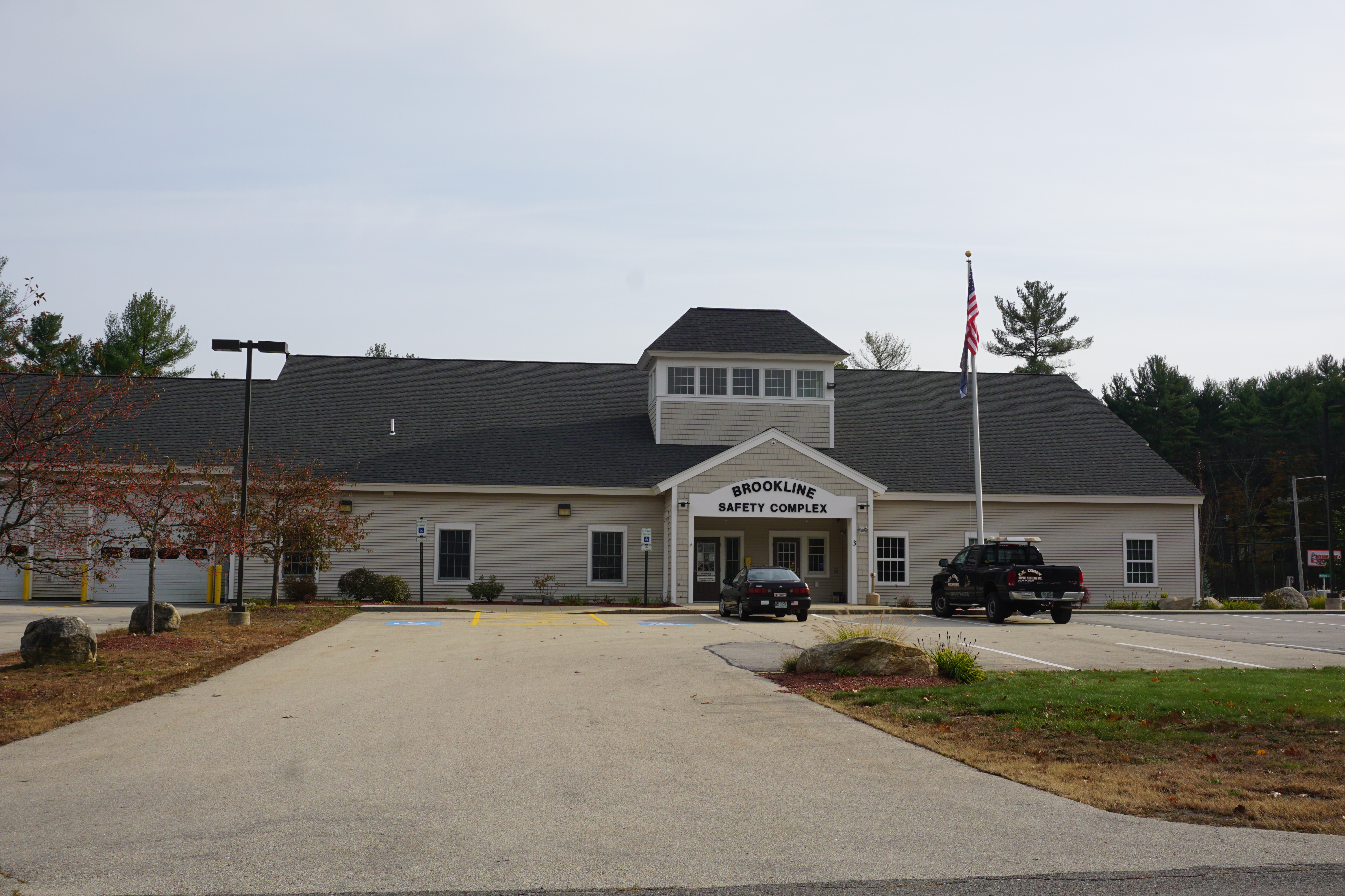
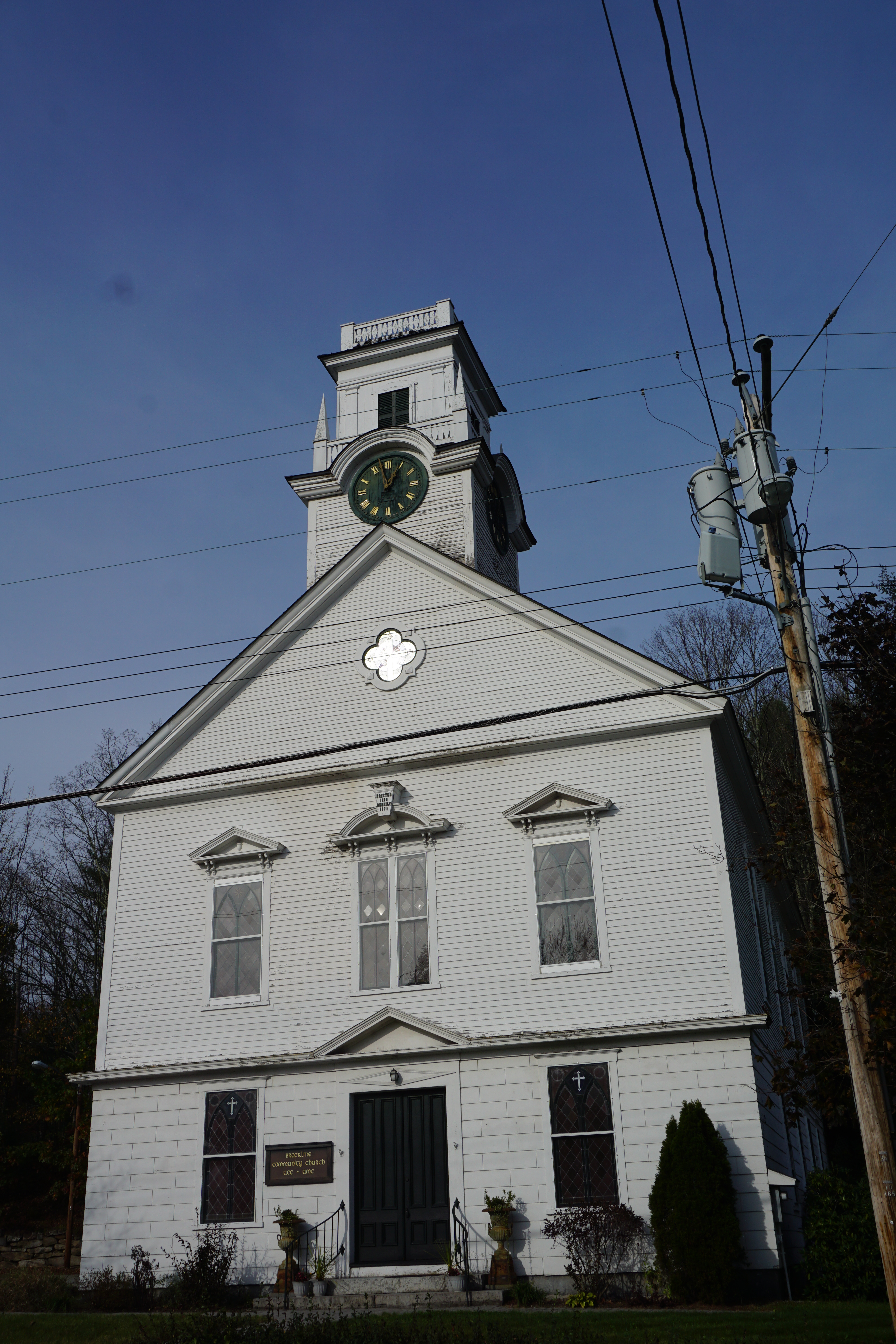
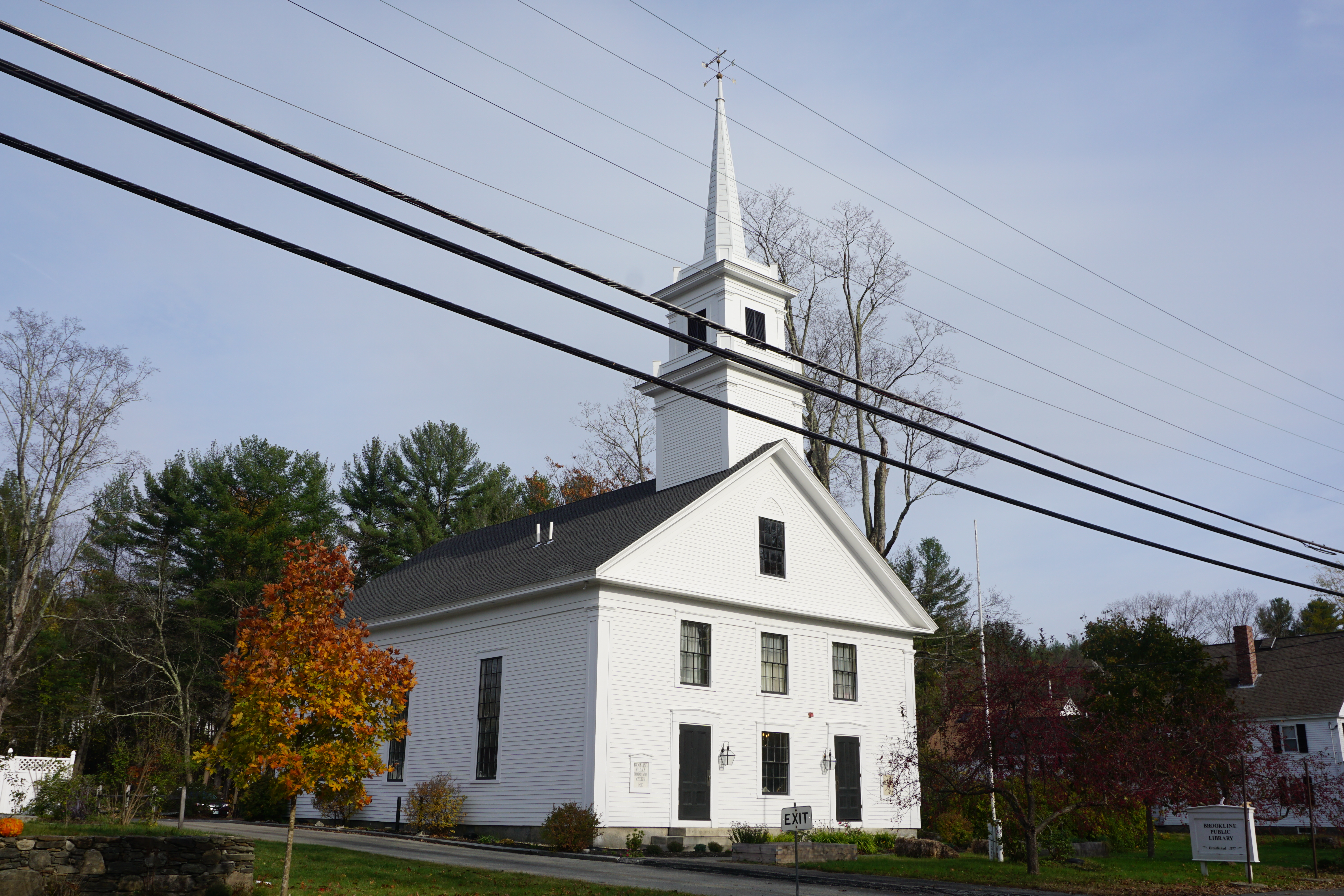
My final New Hampshire town for the day was Brookline,
 |
| Pierce Pond, 22 Route 13 |
At this point, I decided to call it a day, heading for home, but not before stopping by the town of Townsend in Massachusetts for a meal at
Panda Wok, a Chinese restaurant,
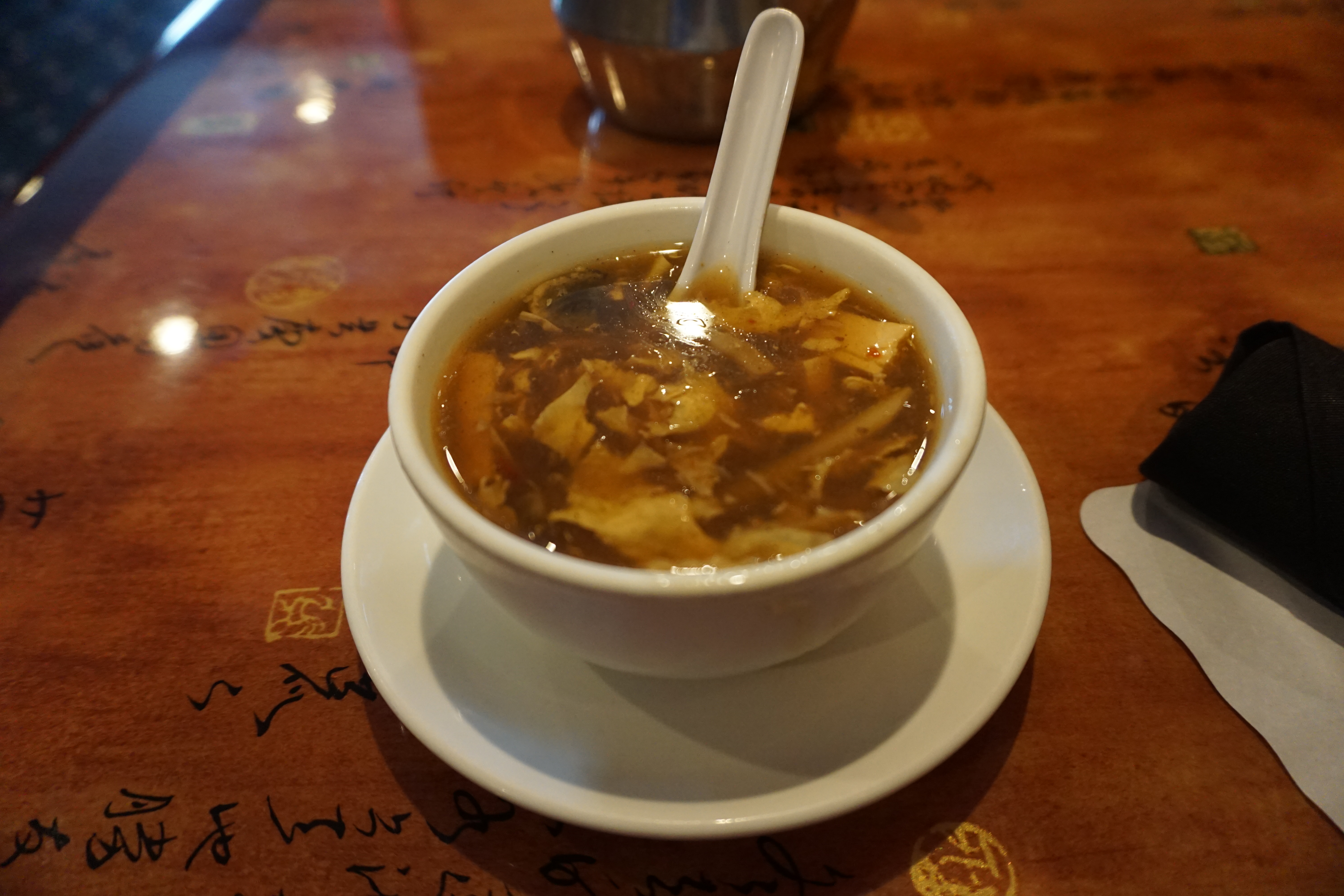
where I decided to get the General Tso's Chicken, which came with Fried Rice, Egg Roll, Spare Ribs
and Hot and Sour Soup.
For once at an Americanized Chinese place, all the food was actually really good, the chicken and egg roll being crispy.
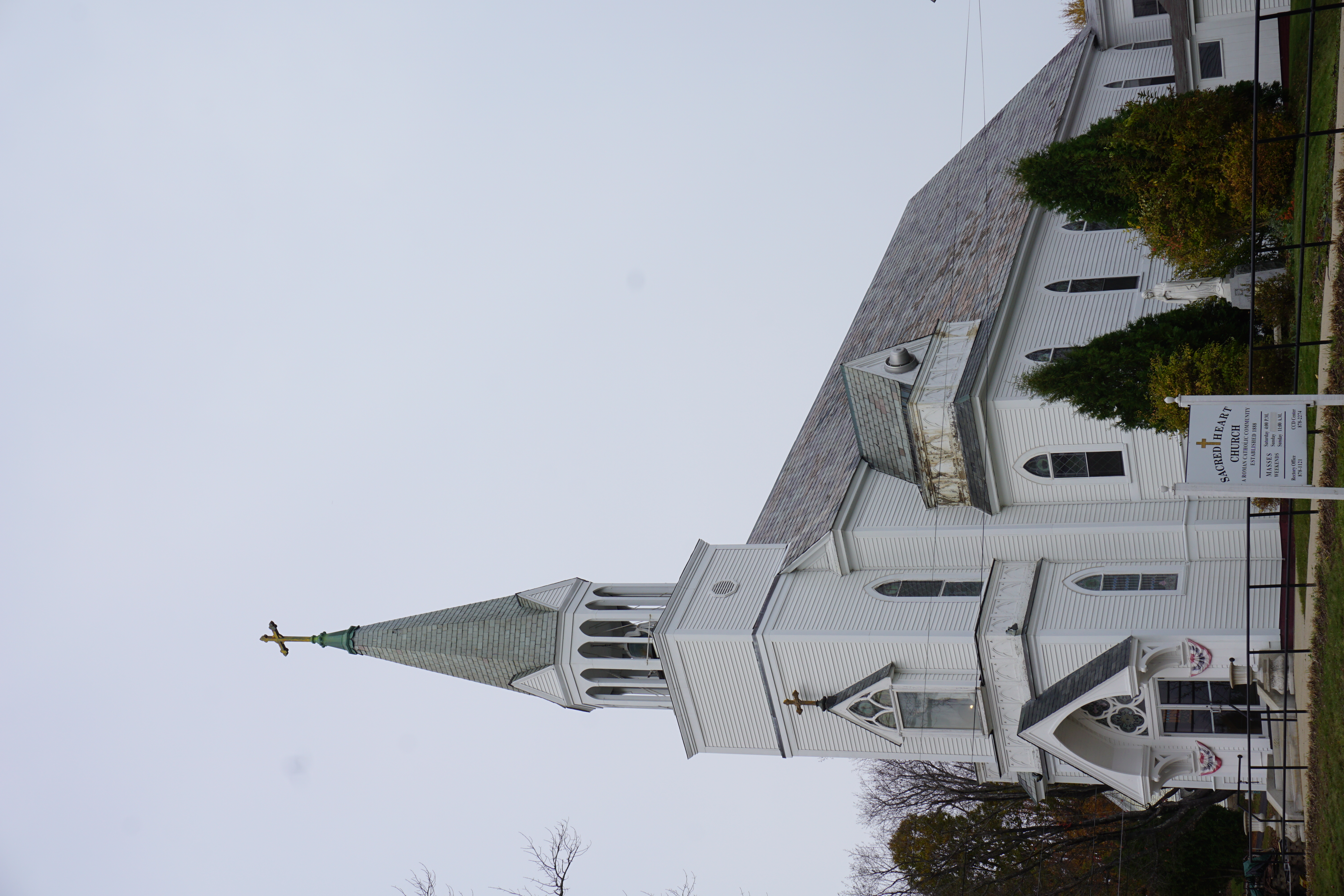
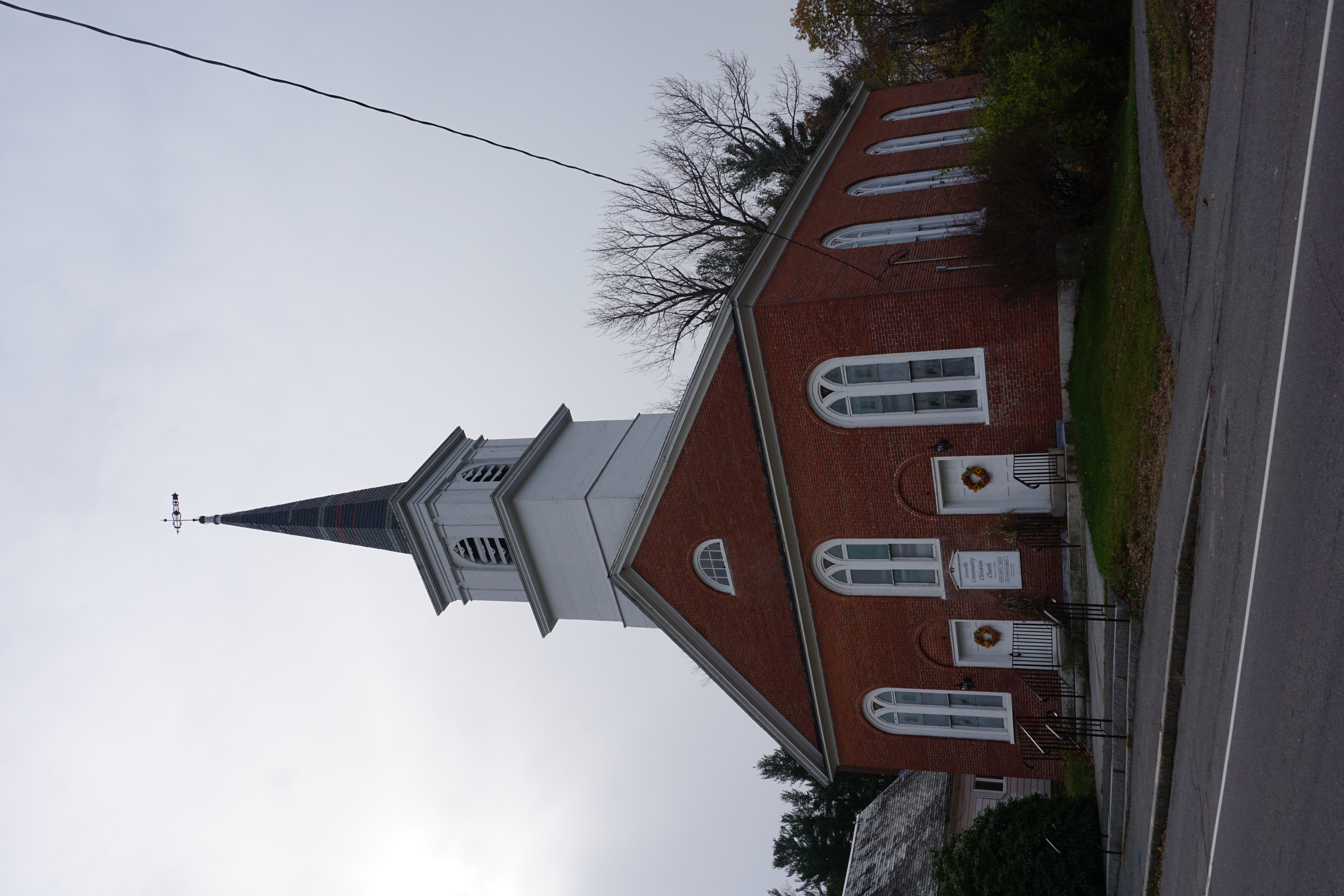
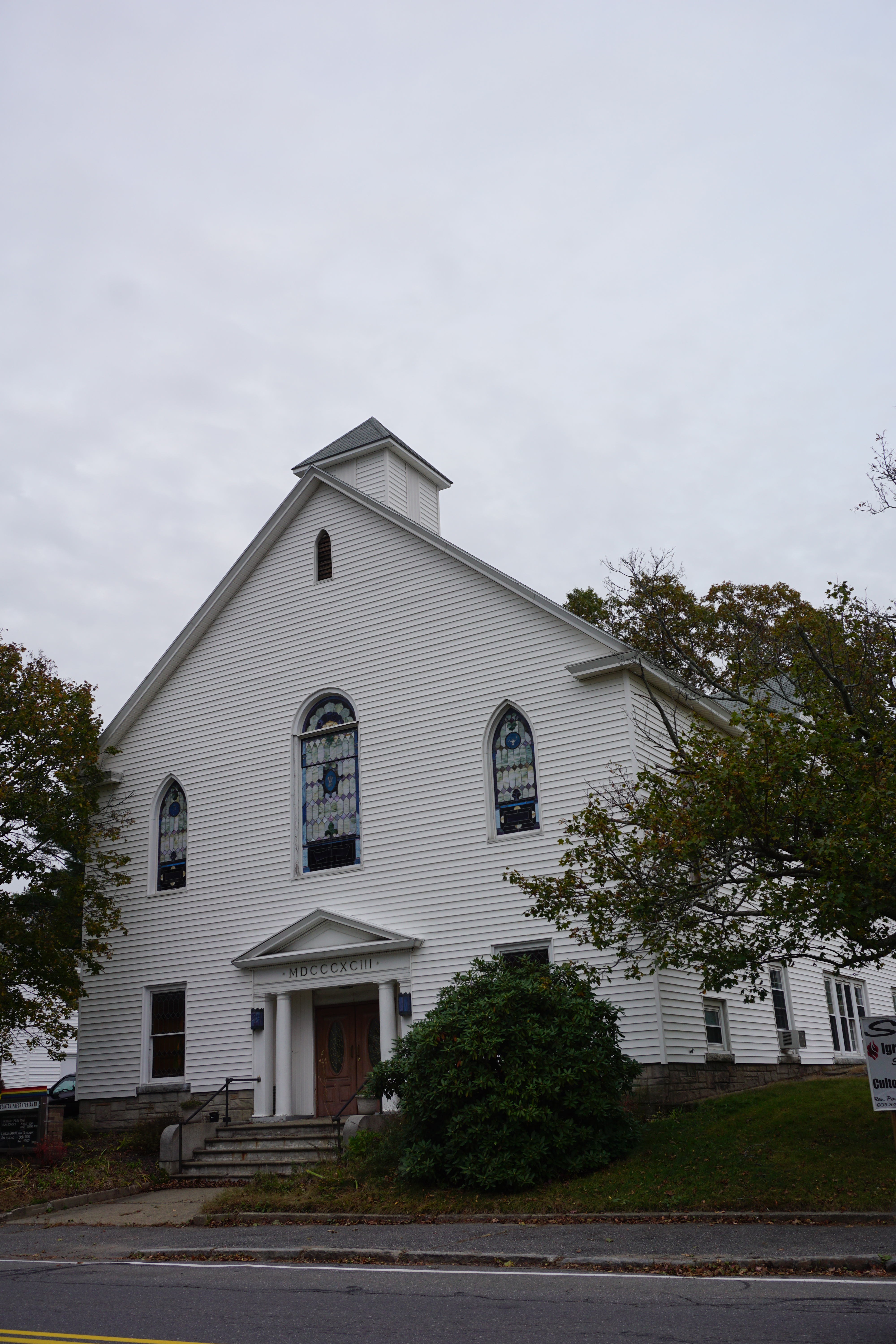
If you thought that was the end of it, I happened to pass by Clinton, and spotted a church I had missed in the past.
A pretty productive day, to say the least, covering 9 towns in all.












No comments:
Post a Comment