 |
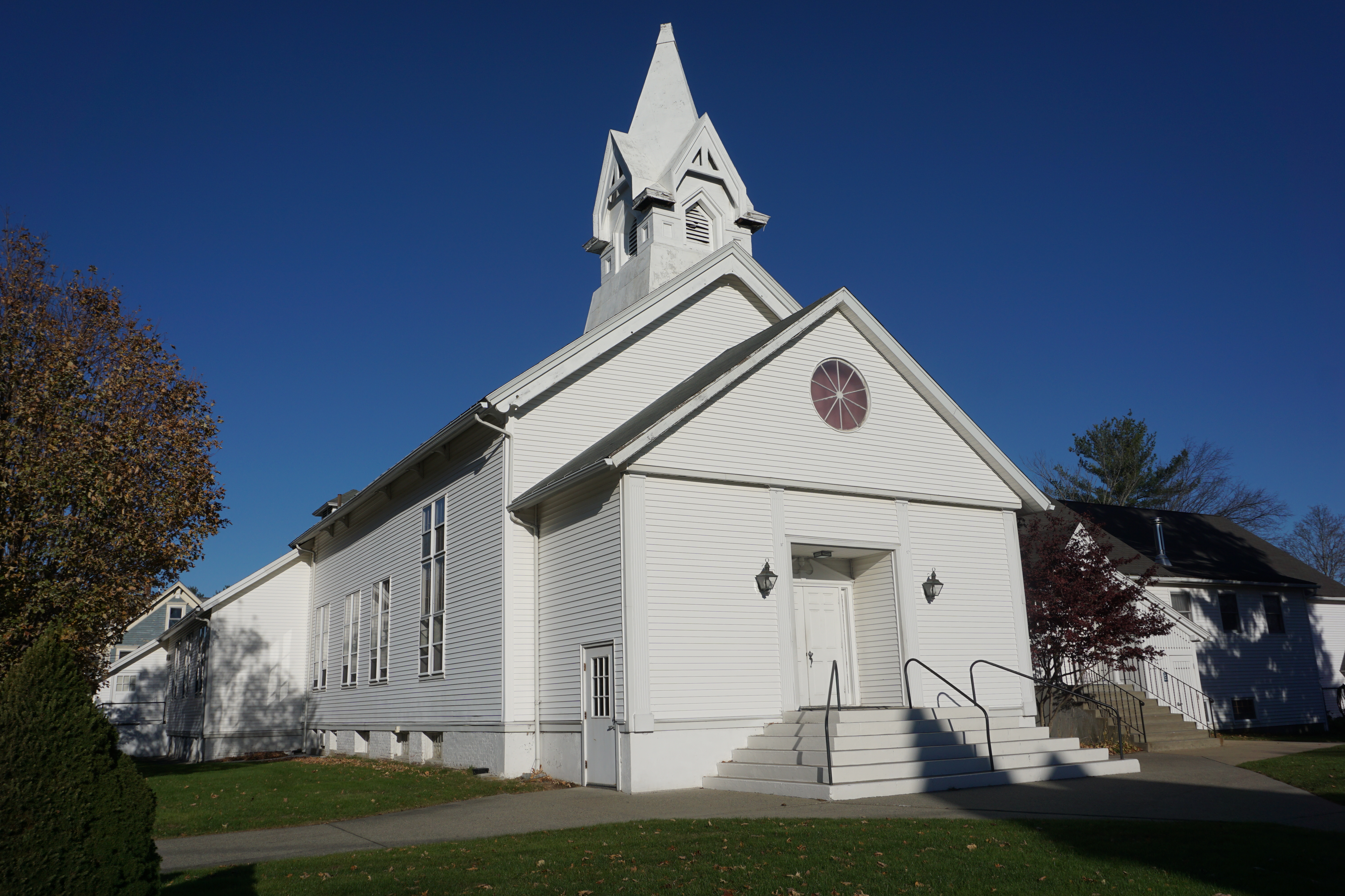
| Village Church of Seventh Day Adventists |
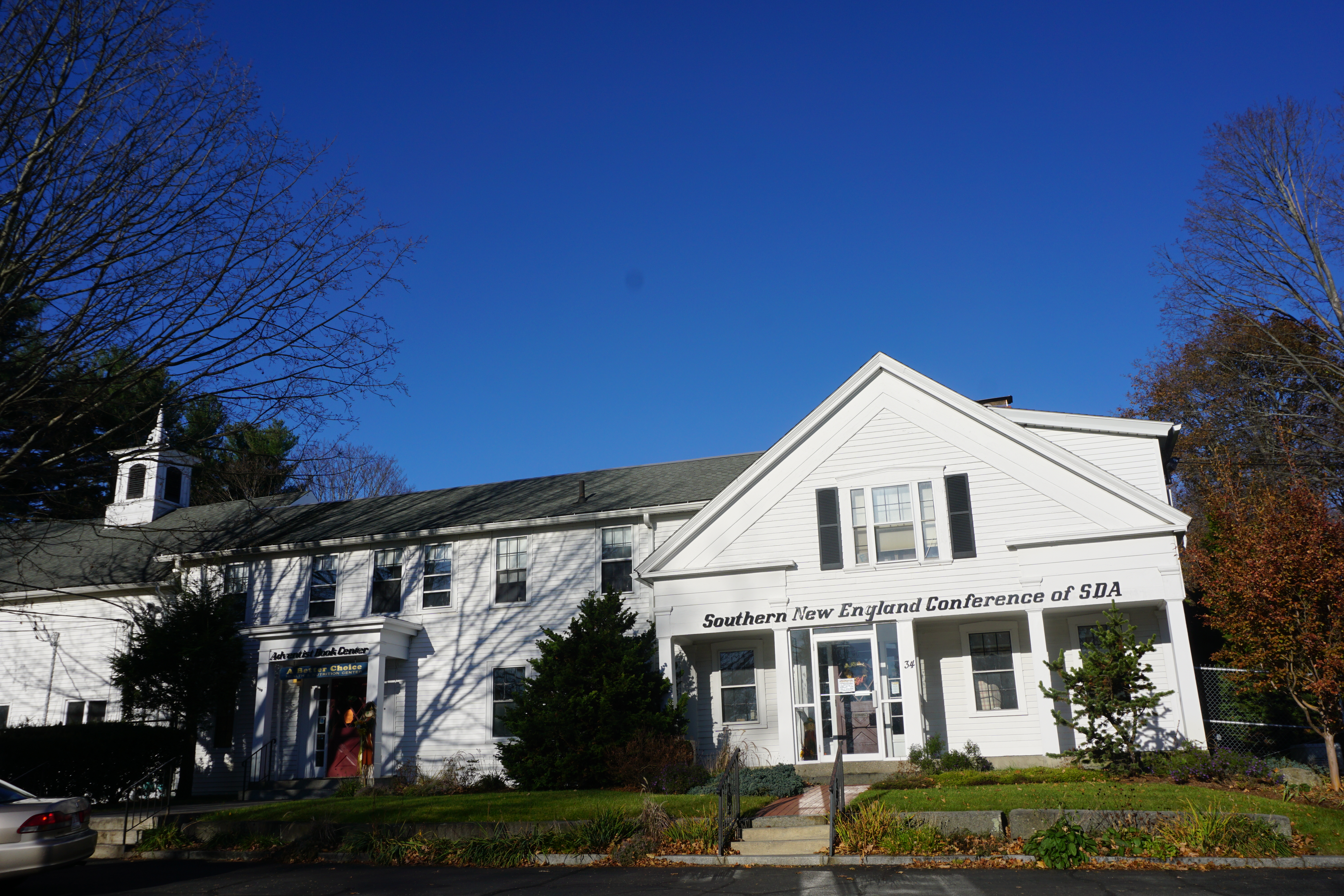 |
| Southern New England Conference of Seventh-day Adventists |
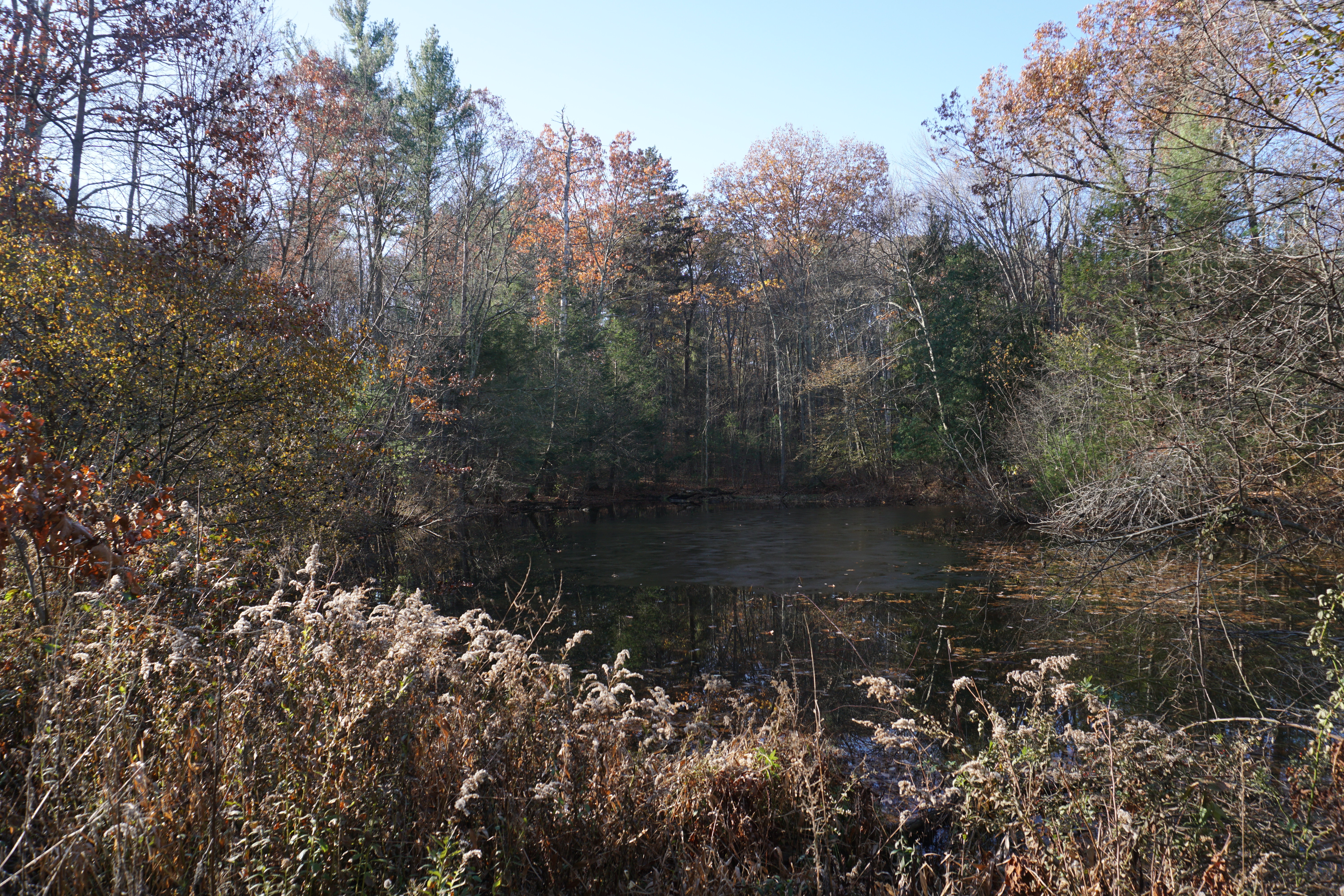
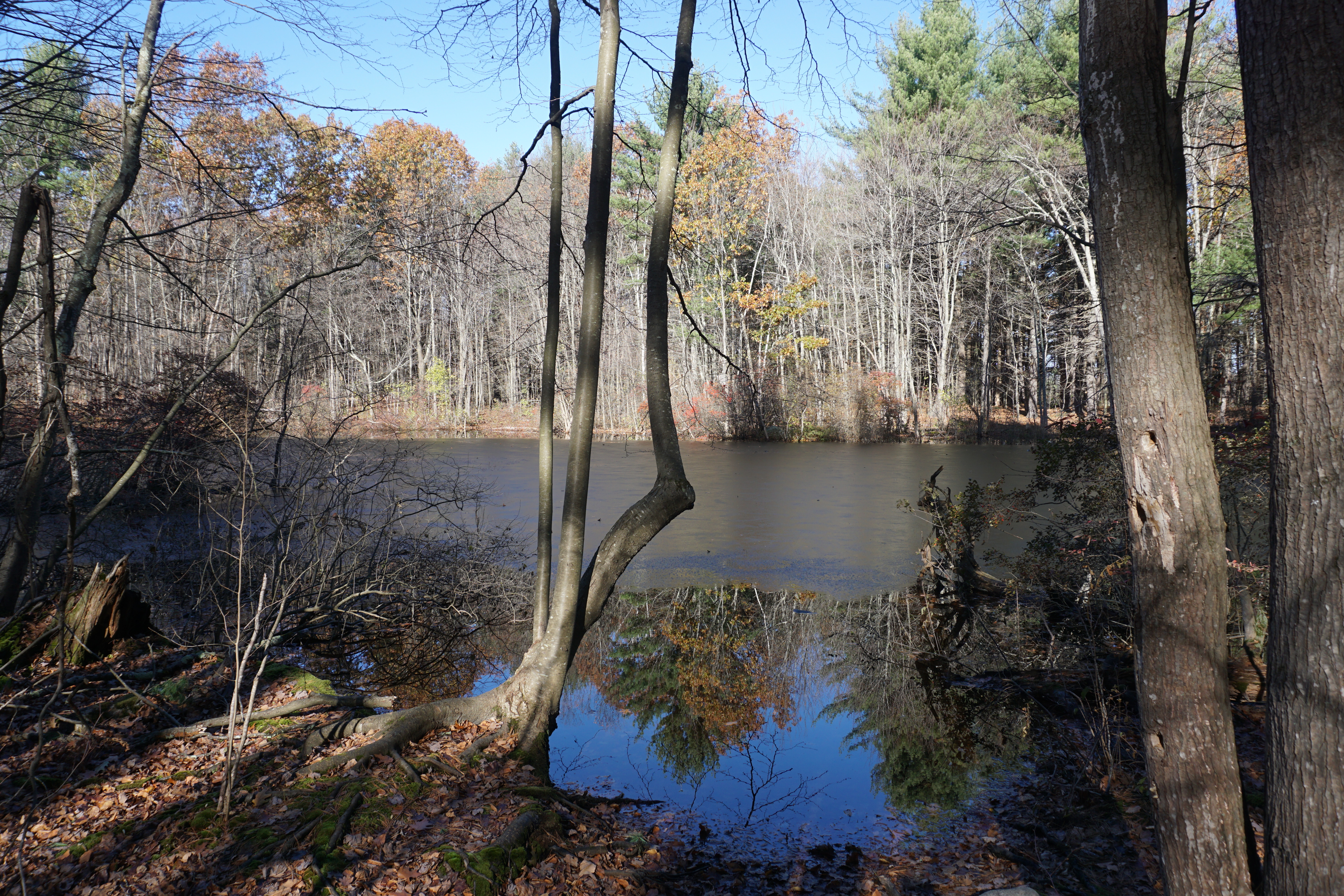
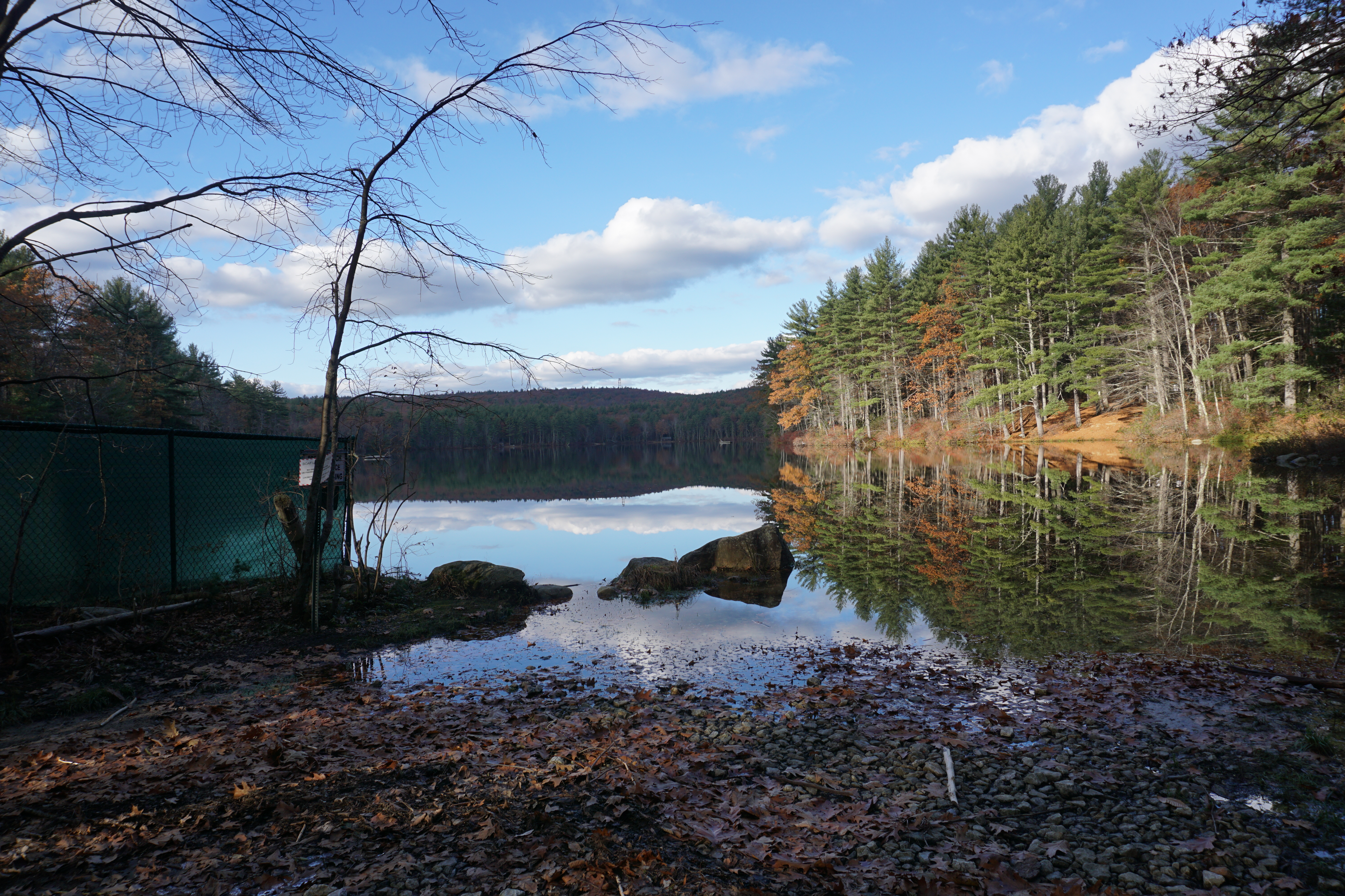
for a hike at the Parker Family Woods. The path I took here to get to the water body is shown below in black.

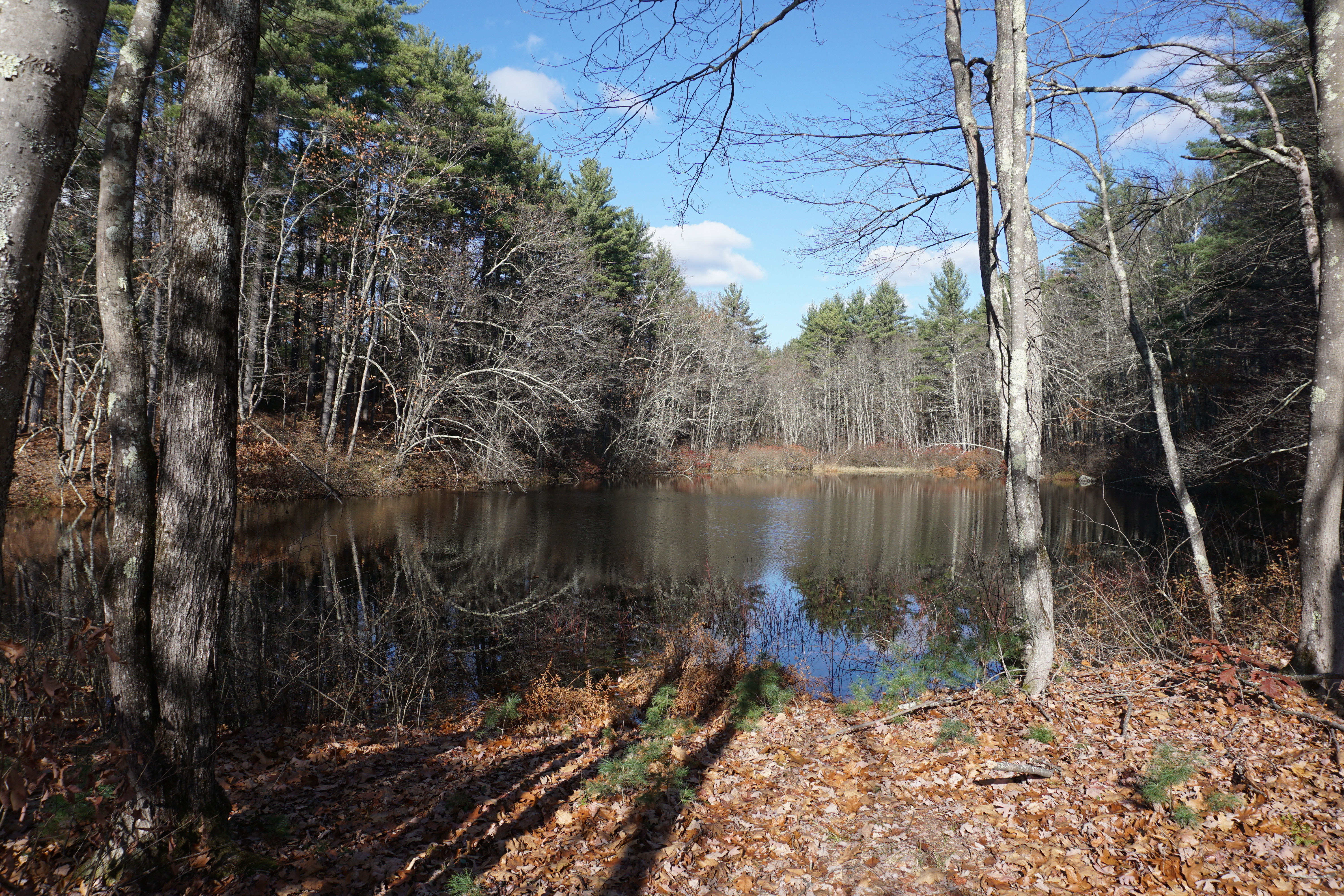
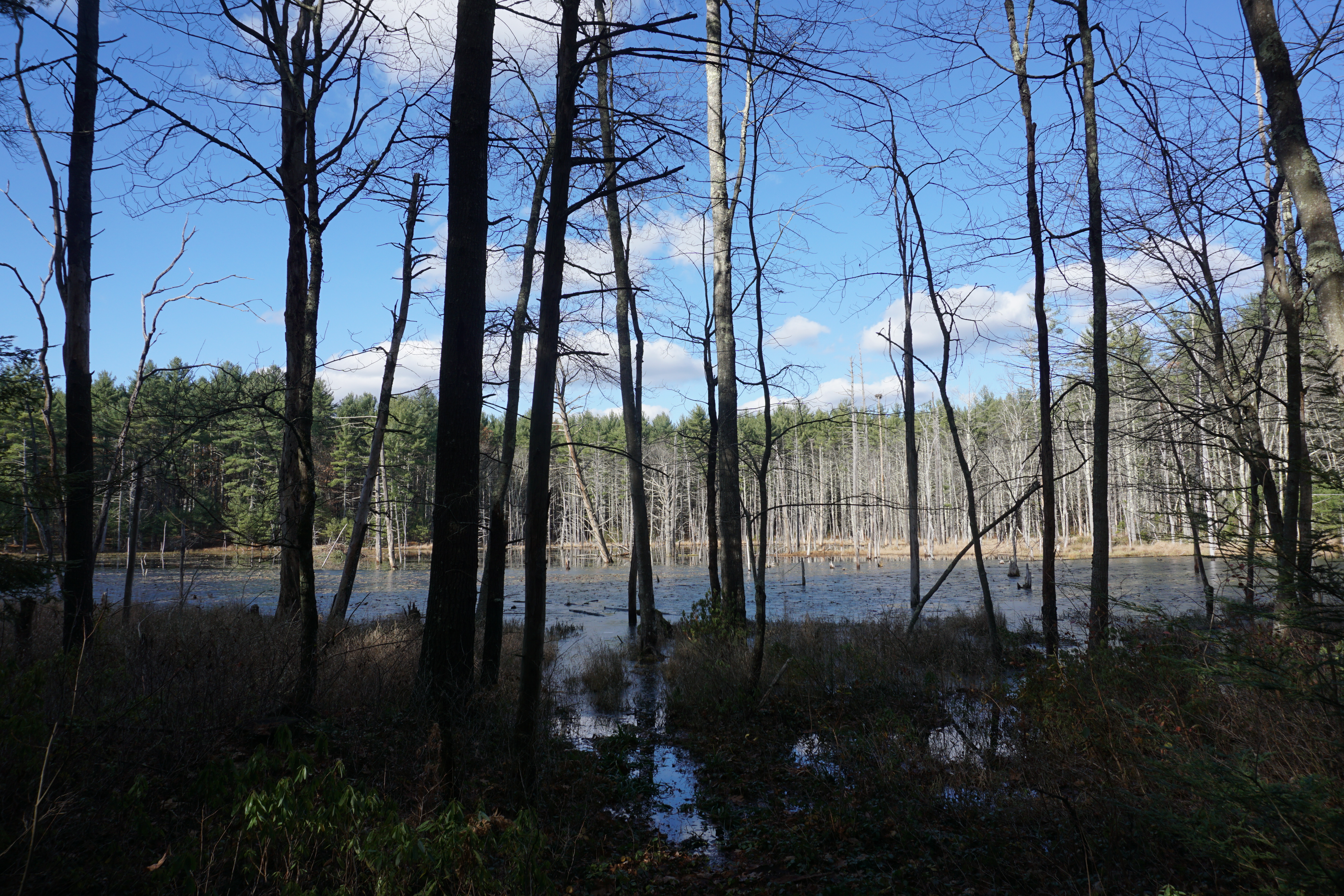
The water body was nothing to look at though.
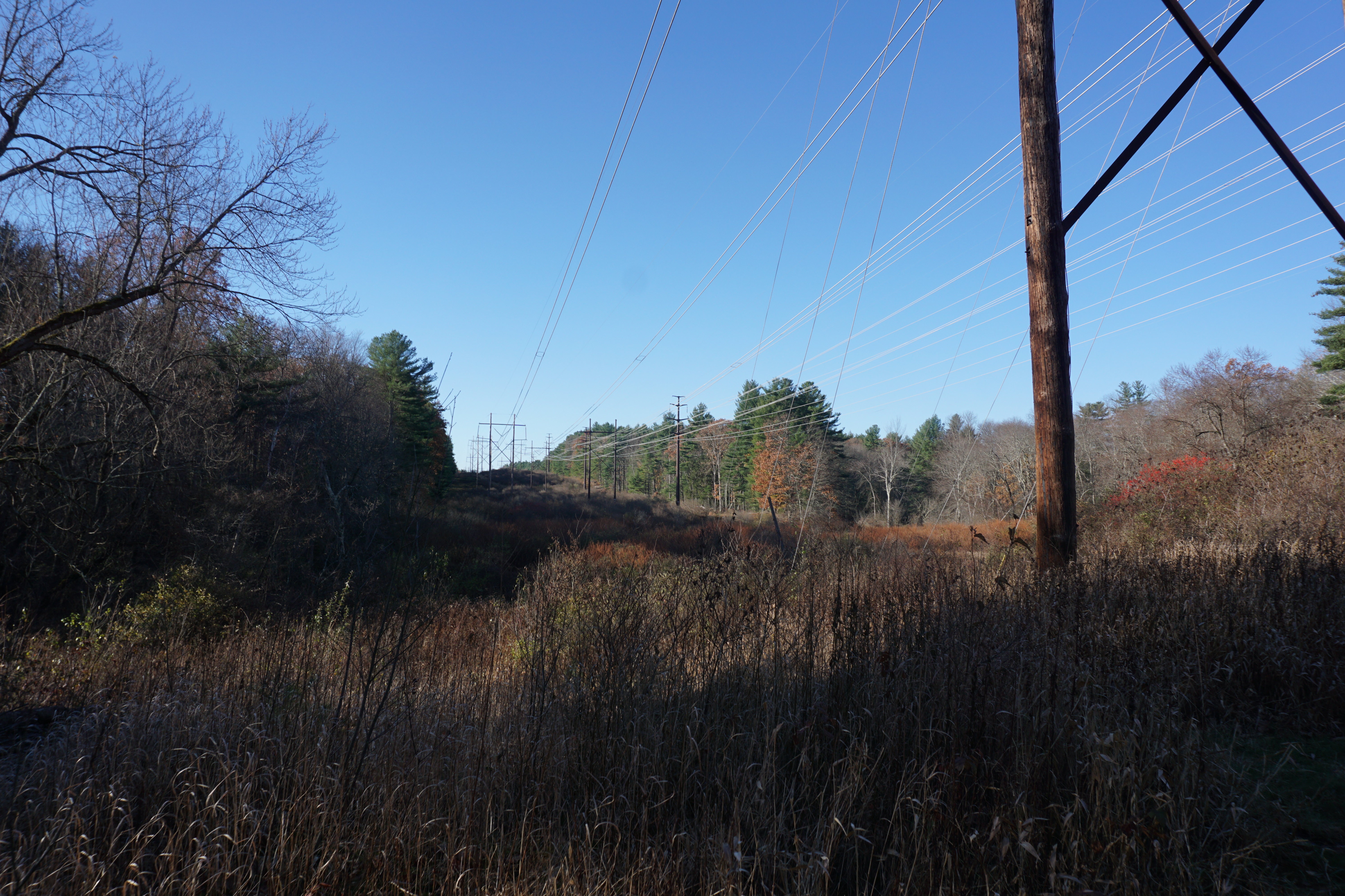
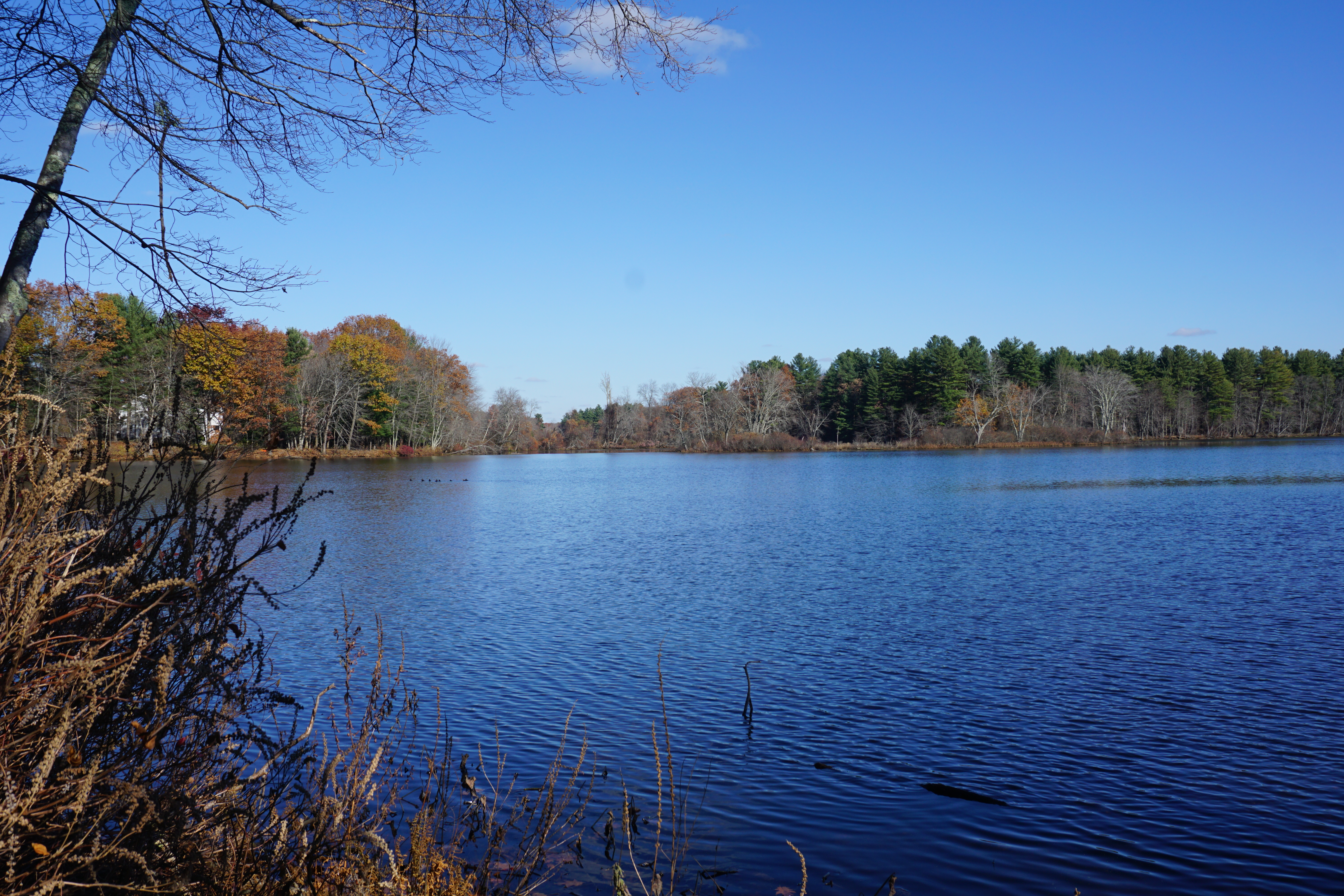
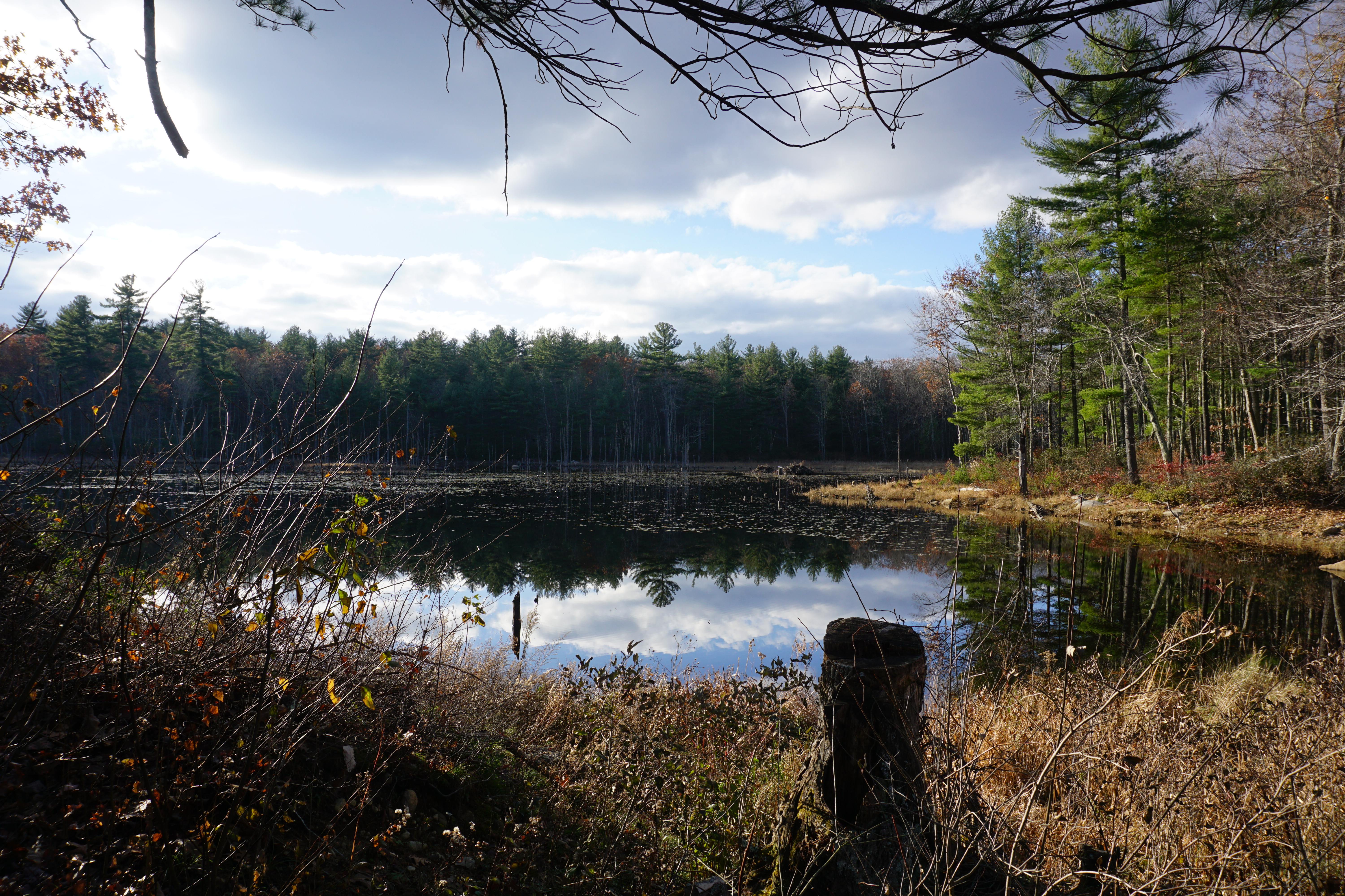
The Cook Conservation Area was next, where the path I took is shown below in black.

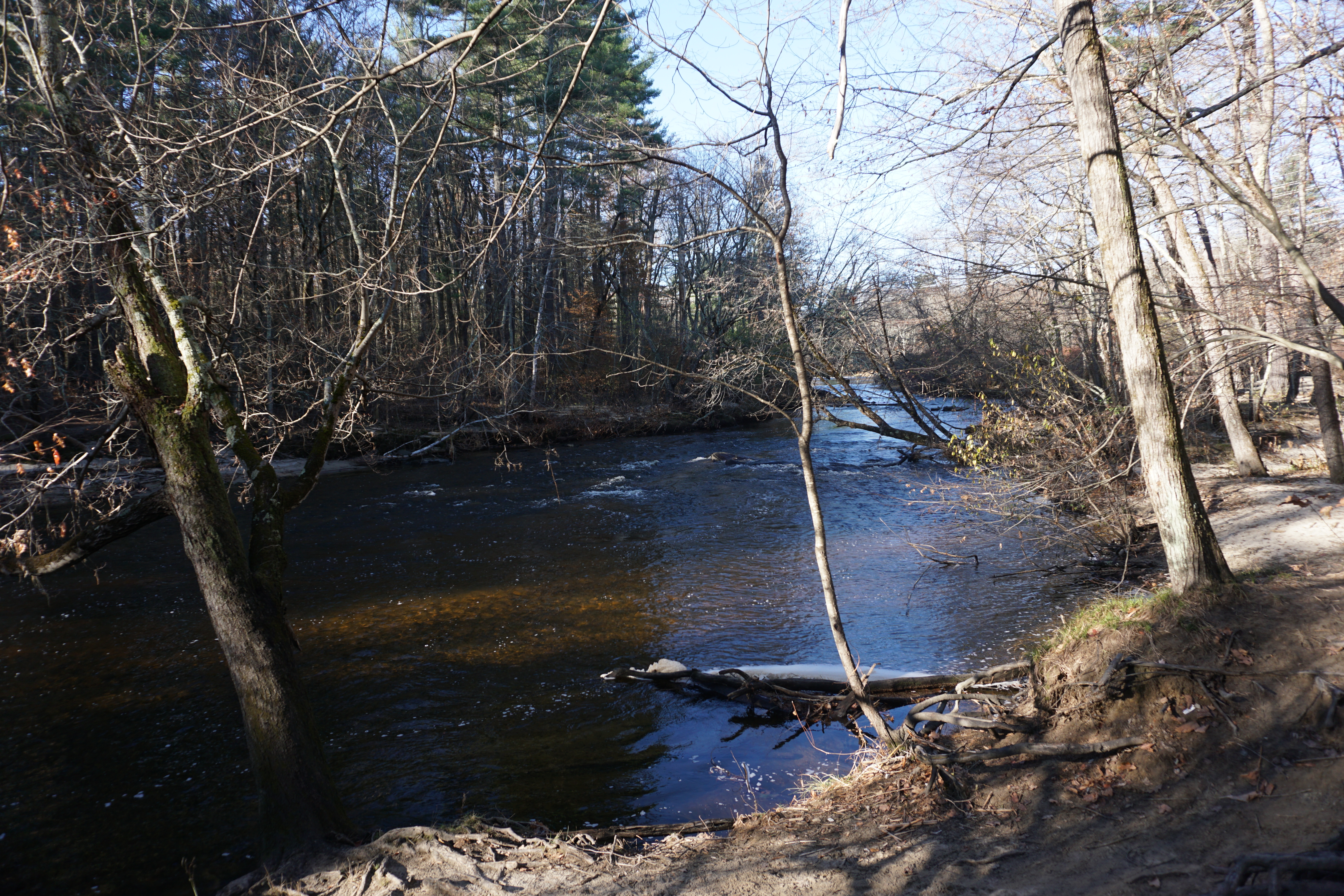
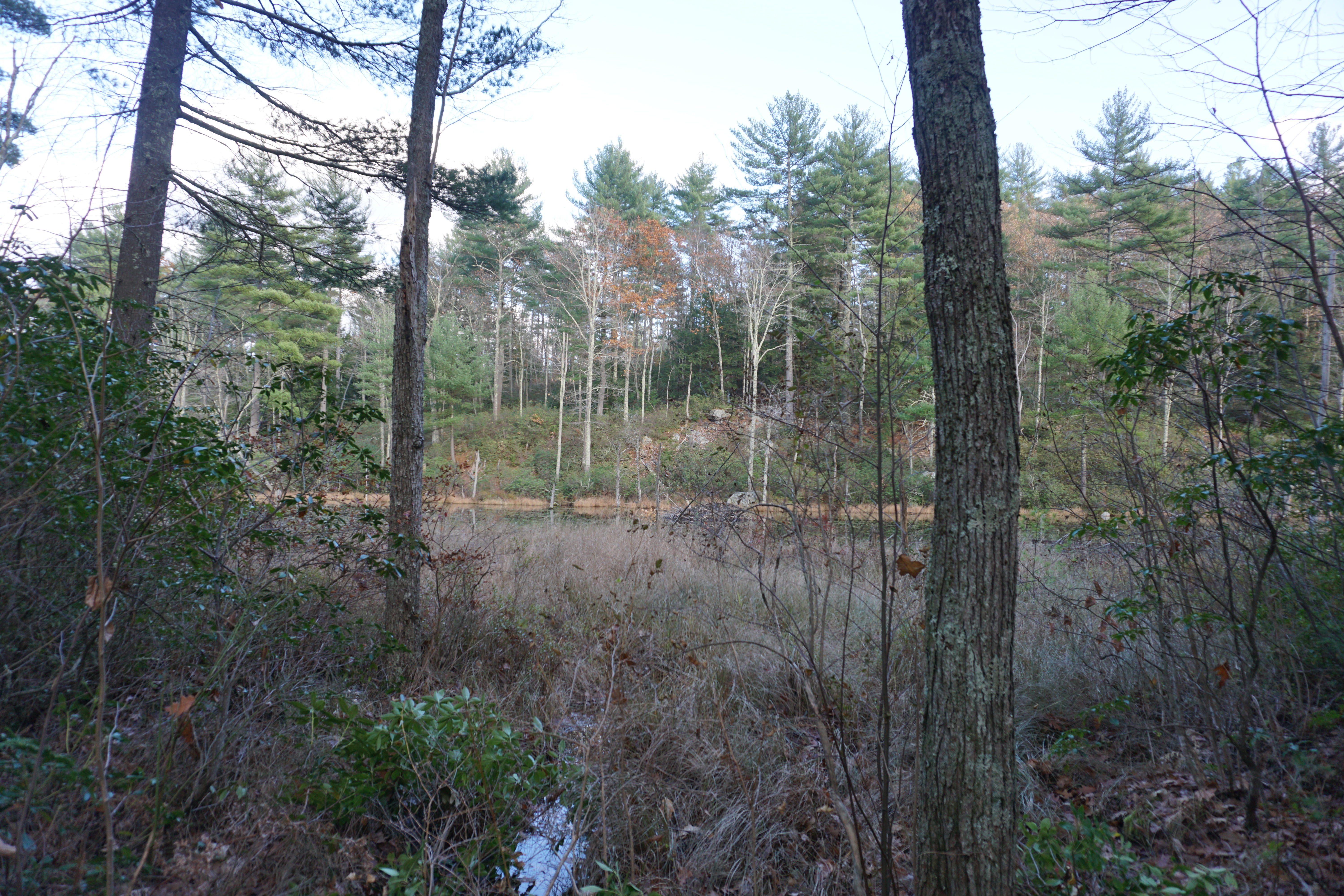
Nice walk by the Nashua River,
with okay views by the powerlines,
From here, I passed through Shirley
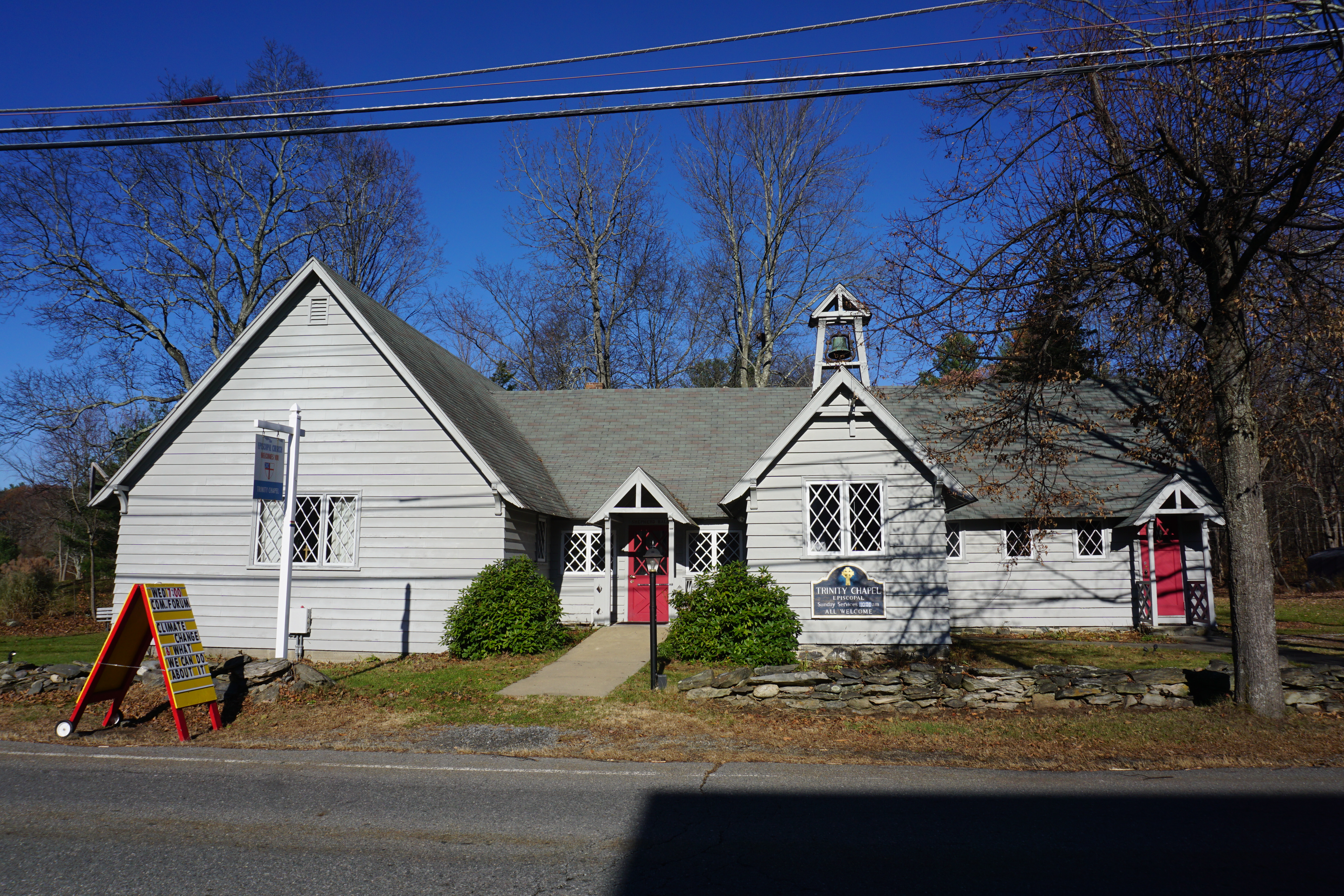 |
| Trinity Chapel Episcopal Church |
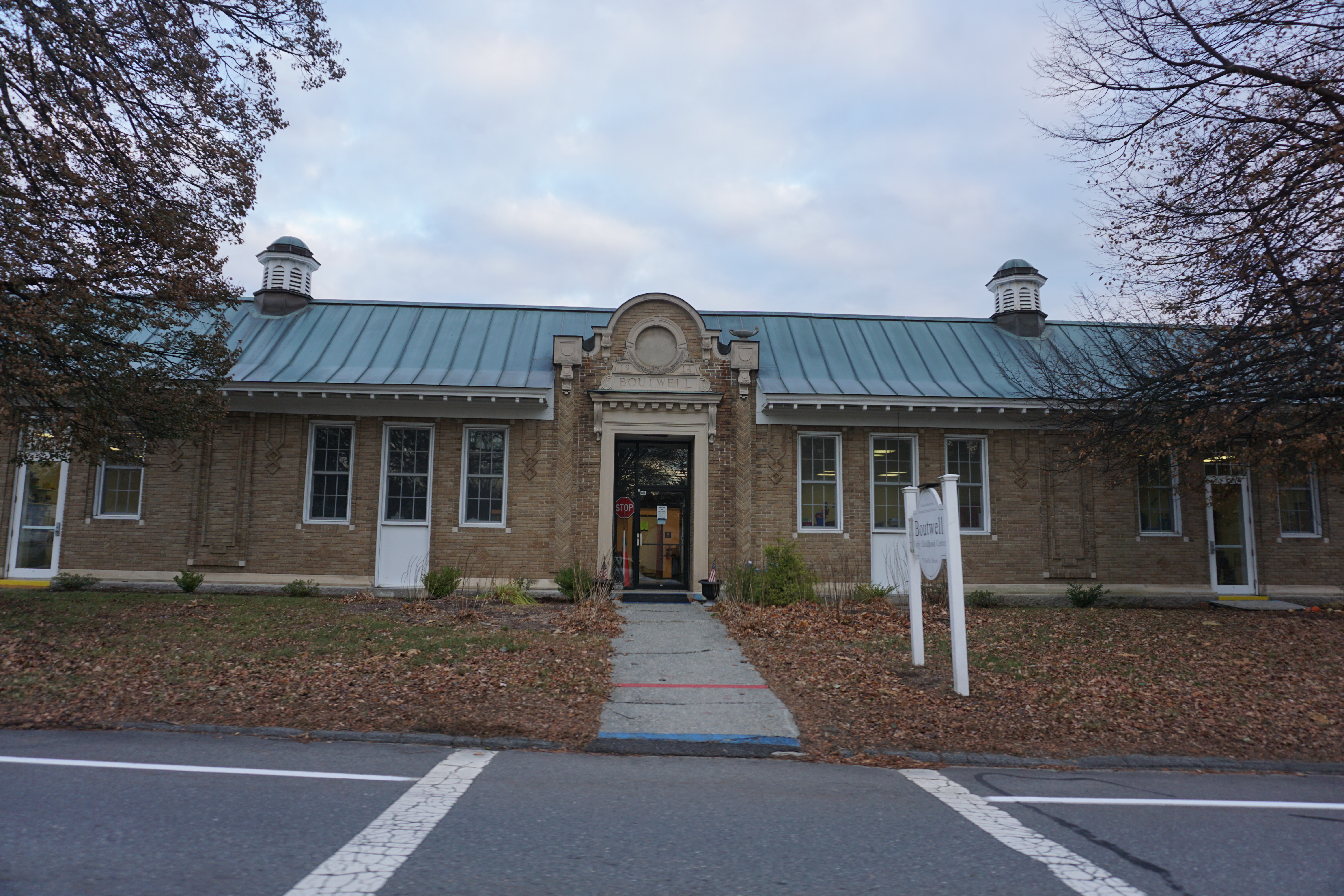 |
| Boutwell Early Childhood Center |
 |
| American Legion Post #55 |

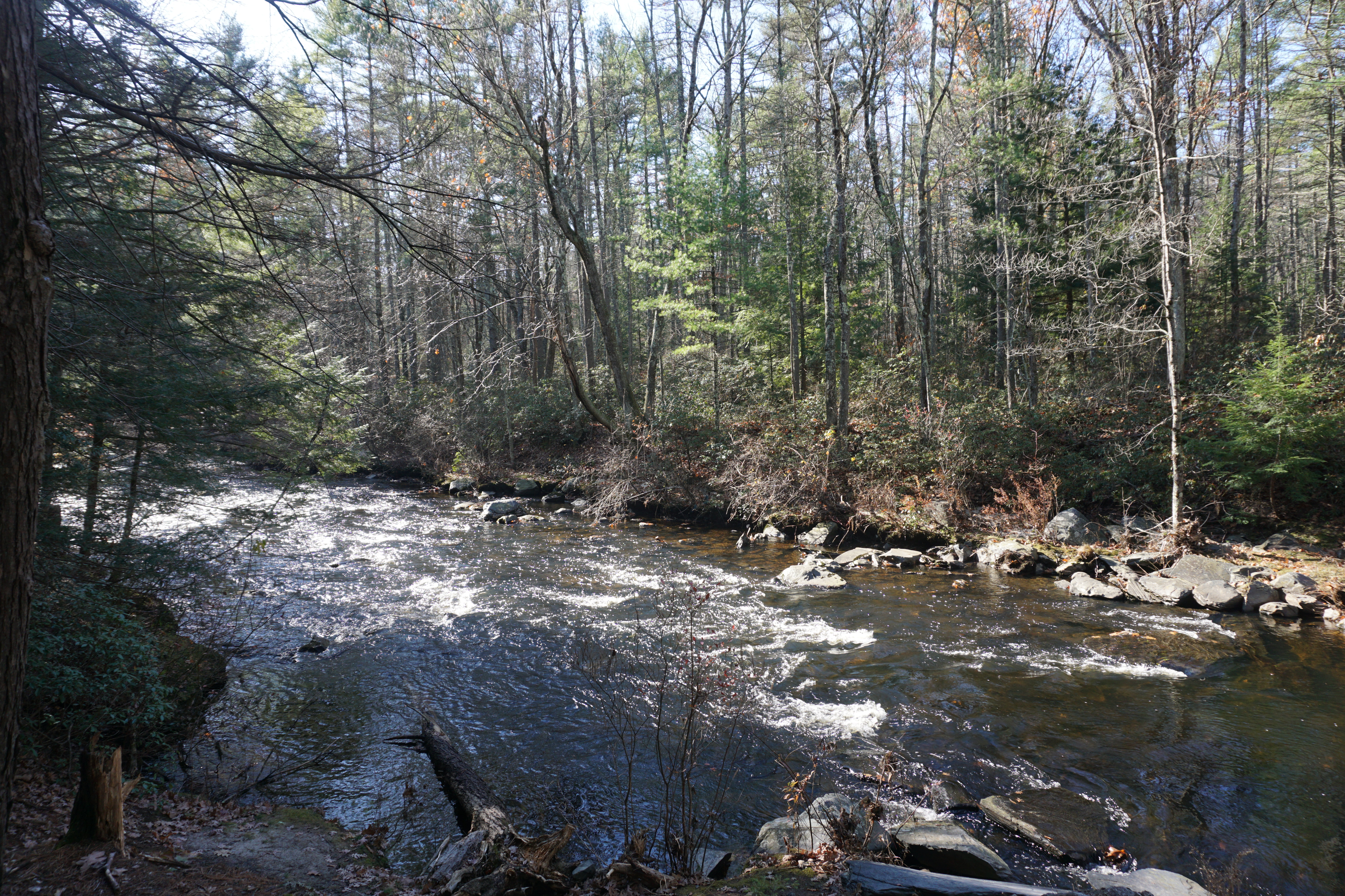
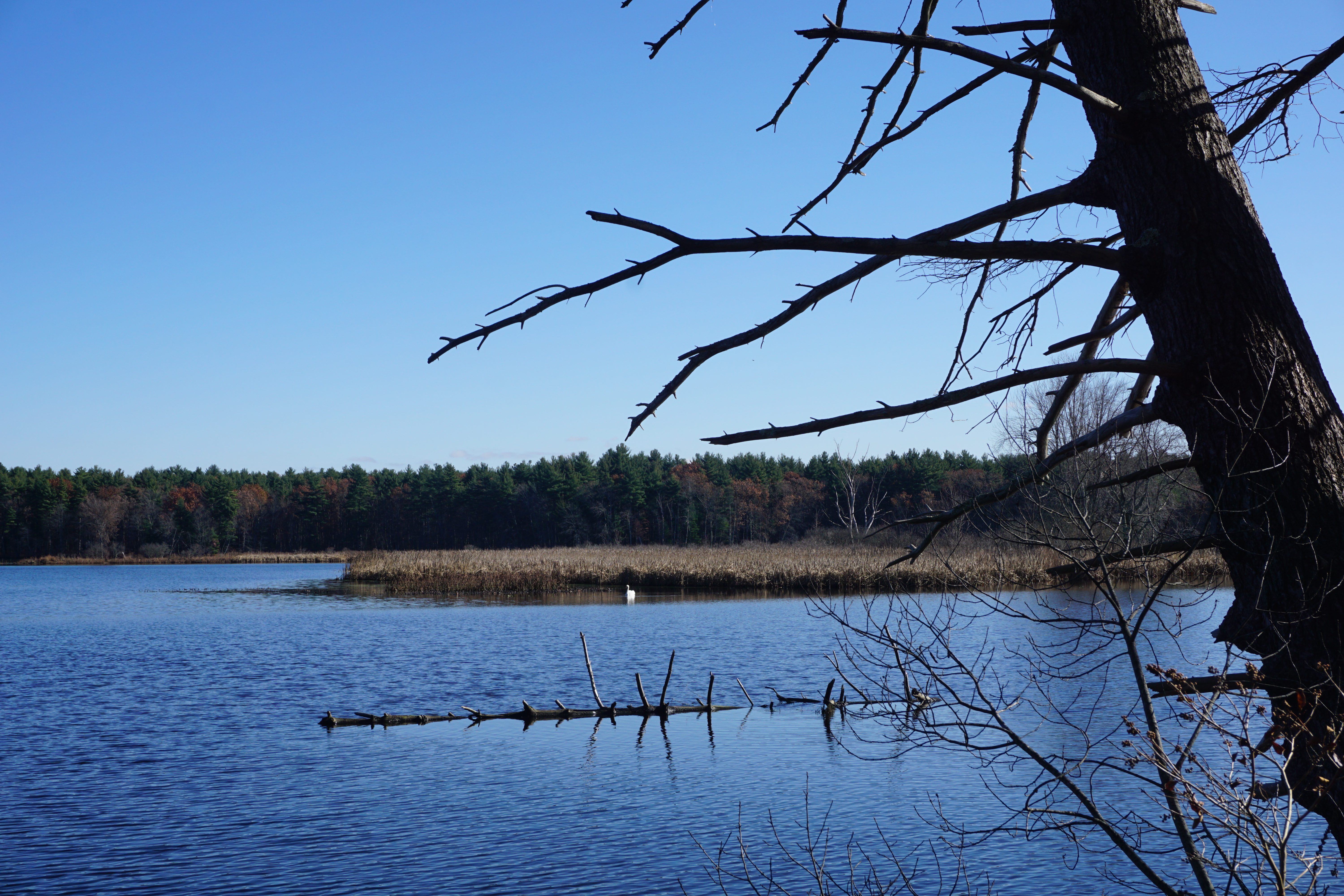
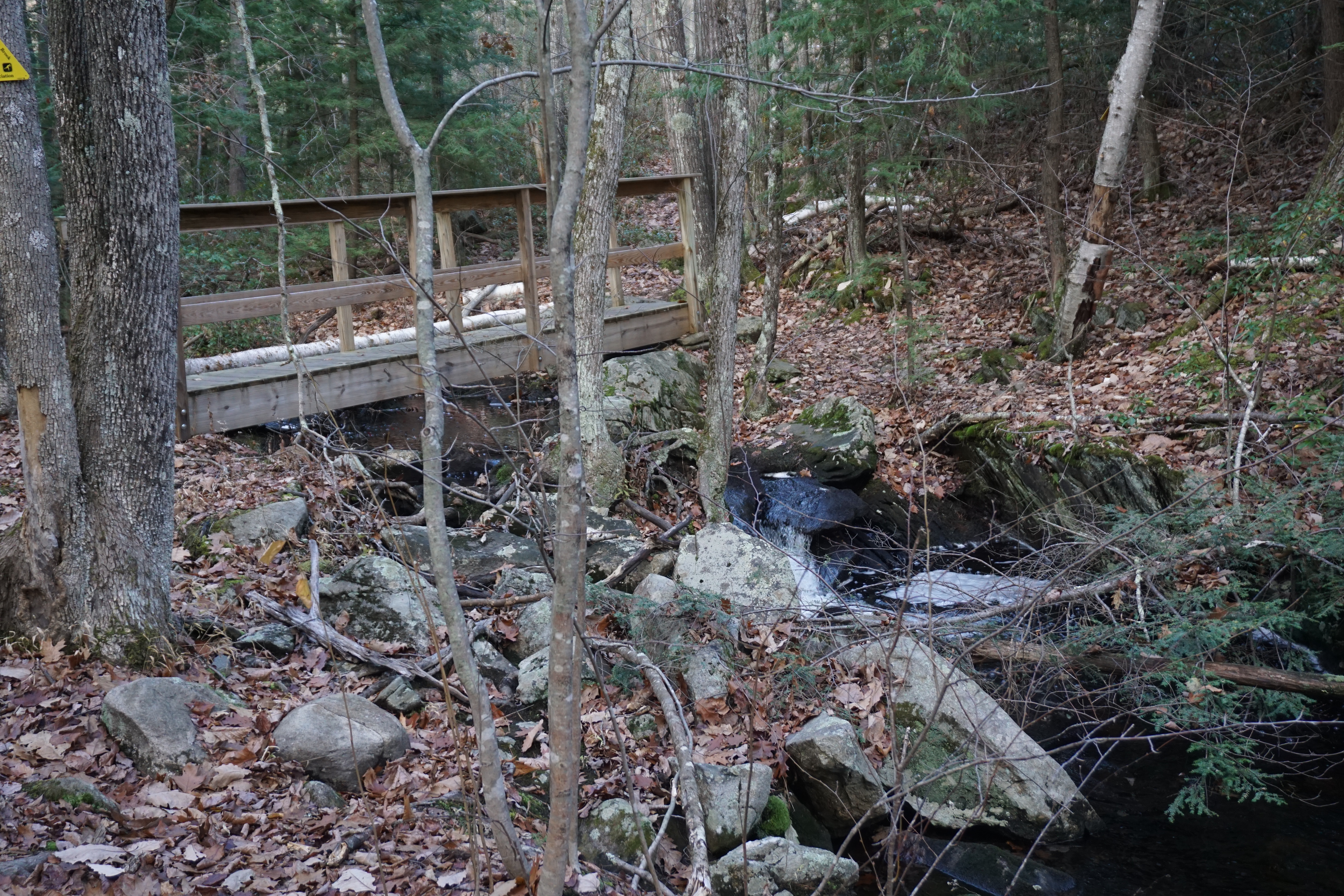
Nice views of the Squannacook River,

Next, I headed into the town of Pepperell for several hikes there, with my first one at Mount Lebanon, where the path I took from 63 Mt Lebanon Street is shown below in pink.

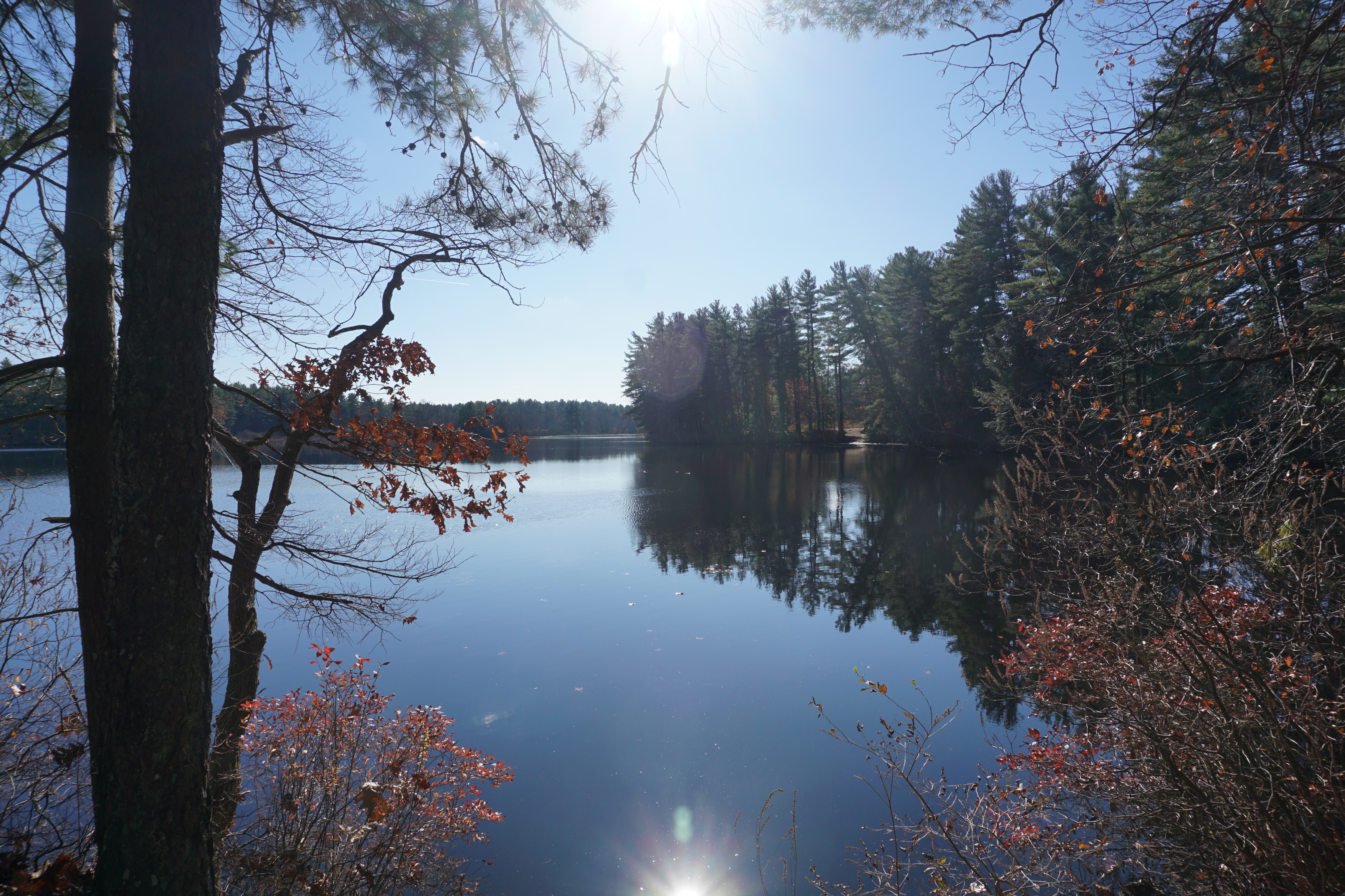
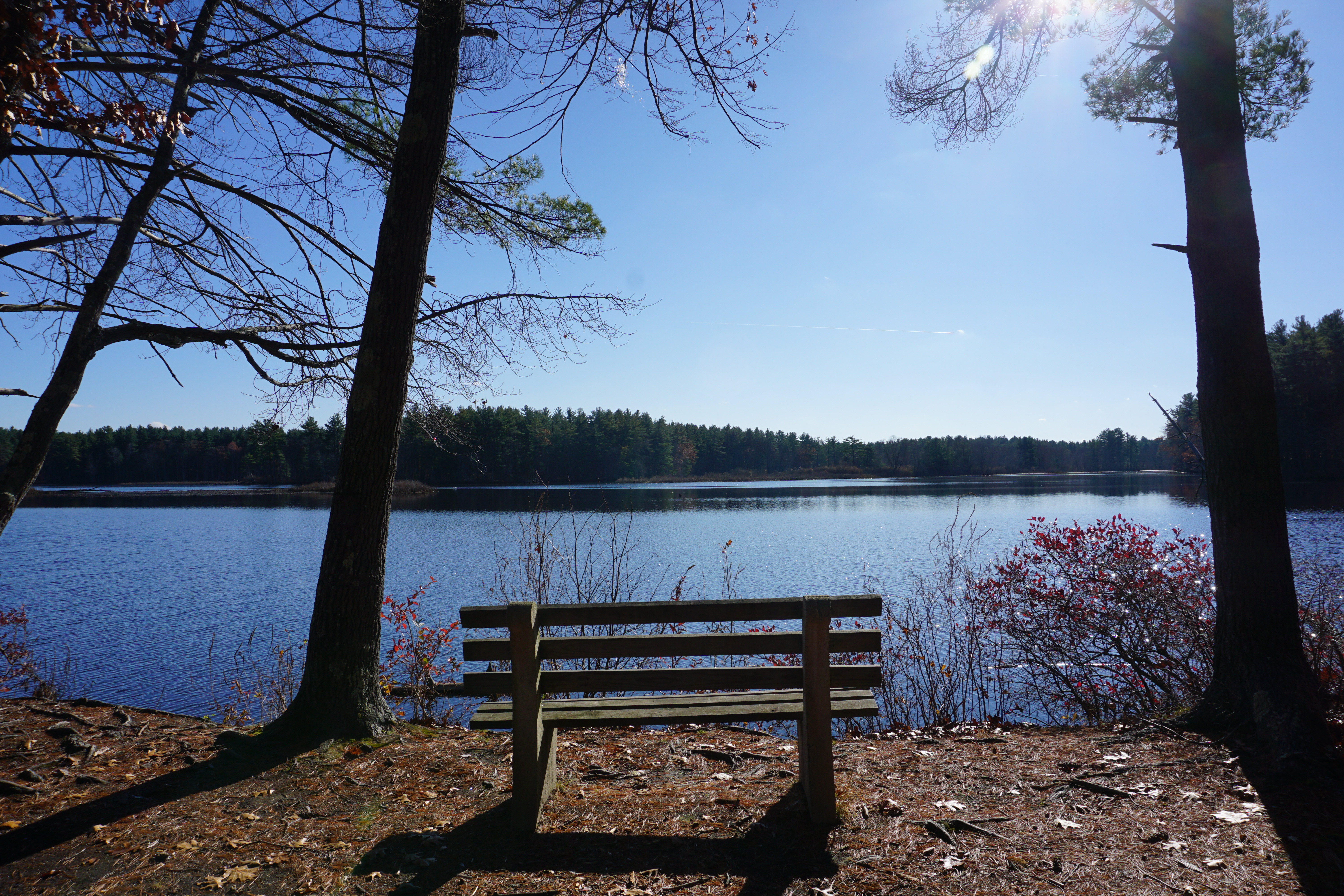
My next hike in town was at the northern end of the Walent Property, where the path I took to get a beautiful view of the Nashua River is shown below in pink.


From here, I headed into the town of Brookline NH
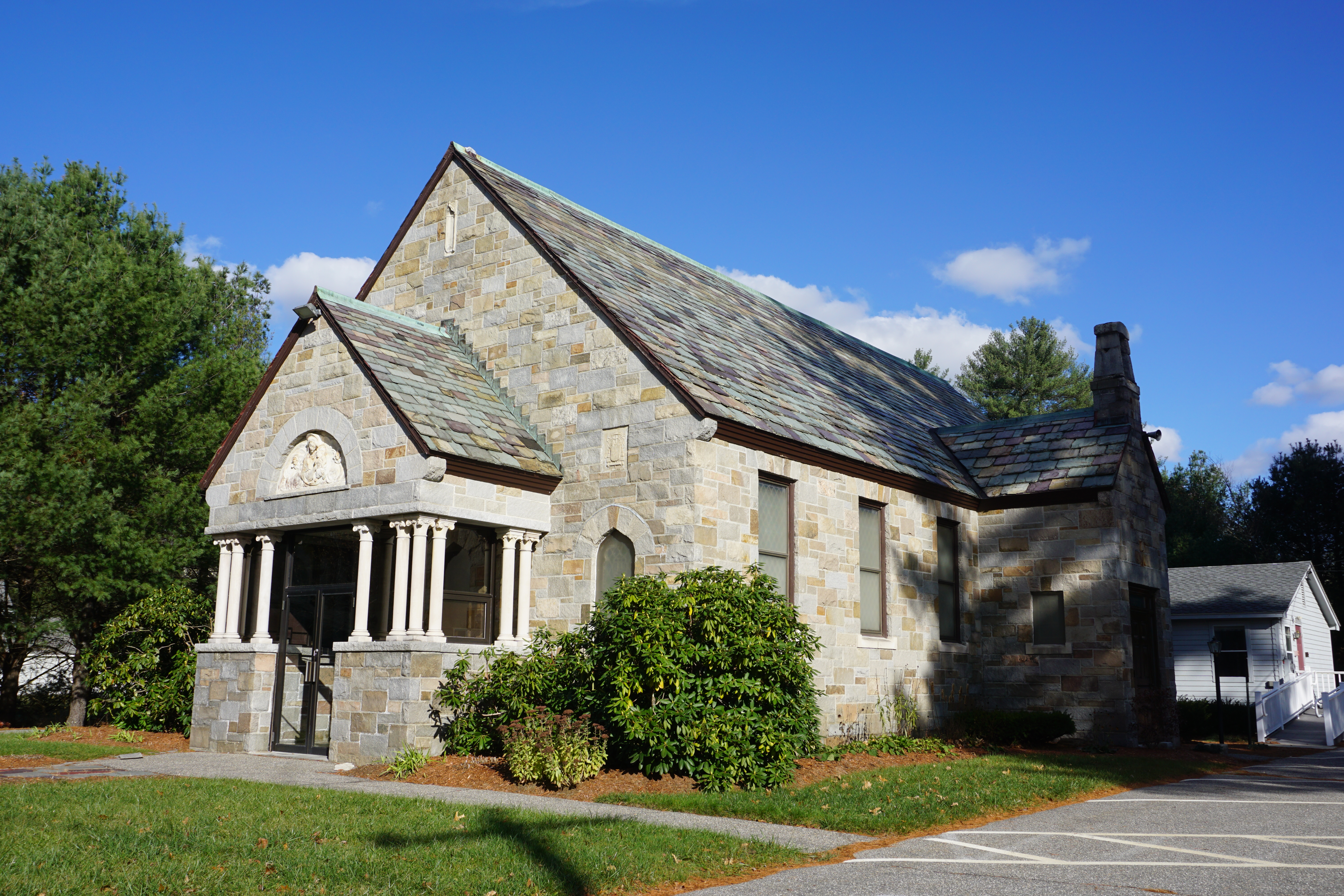 |
| Brookline Chapel |
to explore the Hobart Fessenden Forest, where the many paths I took to visit several sites within the area are shown below in pink.

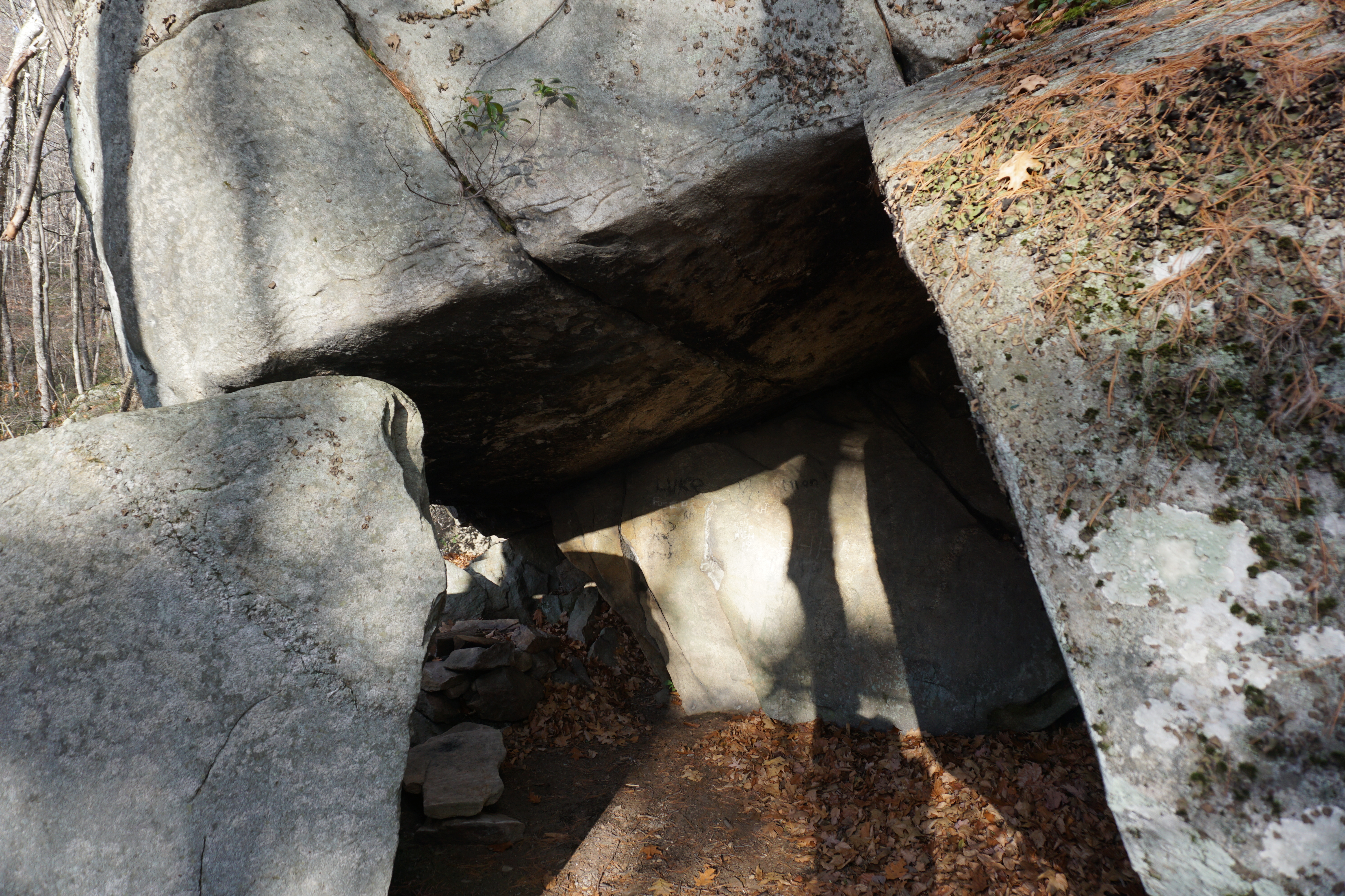
Next, I went in search of the Stone House, which apparently can be accessed from 17 Old Milford Road, but it is actually private property. Thankfully, the owner was nice enough to let me pass through, even lending me an orange outfit to avoid hunters in the area. Taking the path behind his house, I pushed ahead, not knowing what to find as the path became more and more overgrown. Thankfully, I saw the stone formations in front of me, so I bushwhacked my way up to them, finally spotting the supposed house itself, which has inscriptions in the rock from visitors old and new, which really wasn't that impressive after all.
With that, I headed into the town of Hollis NH,
 |
| Monument Square, Broad Street and Monument Square |
 |
| Town Hall, 7 Monument Square |
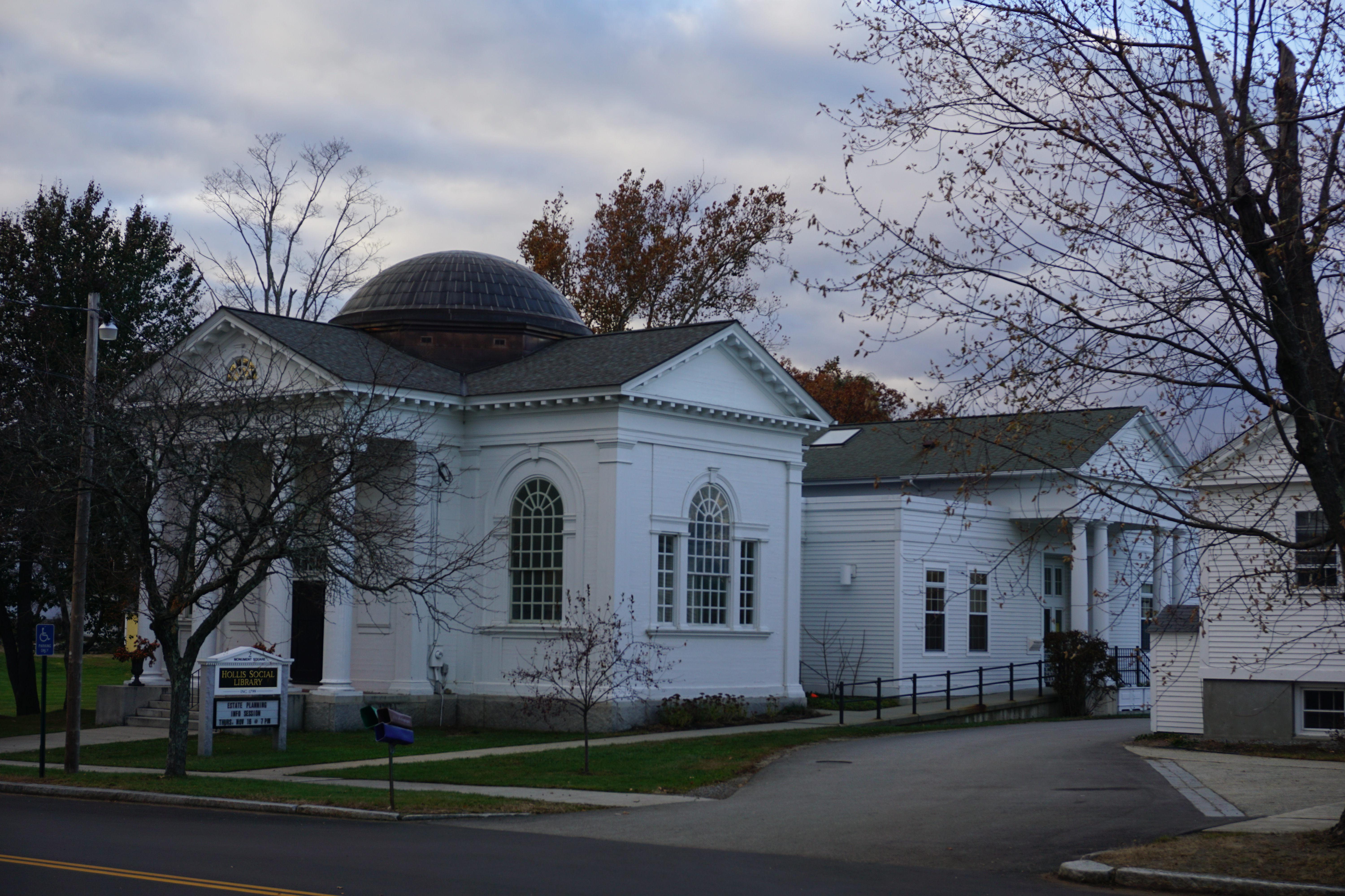 |
| Hollis Social Library |
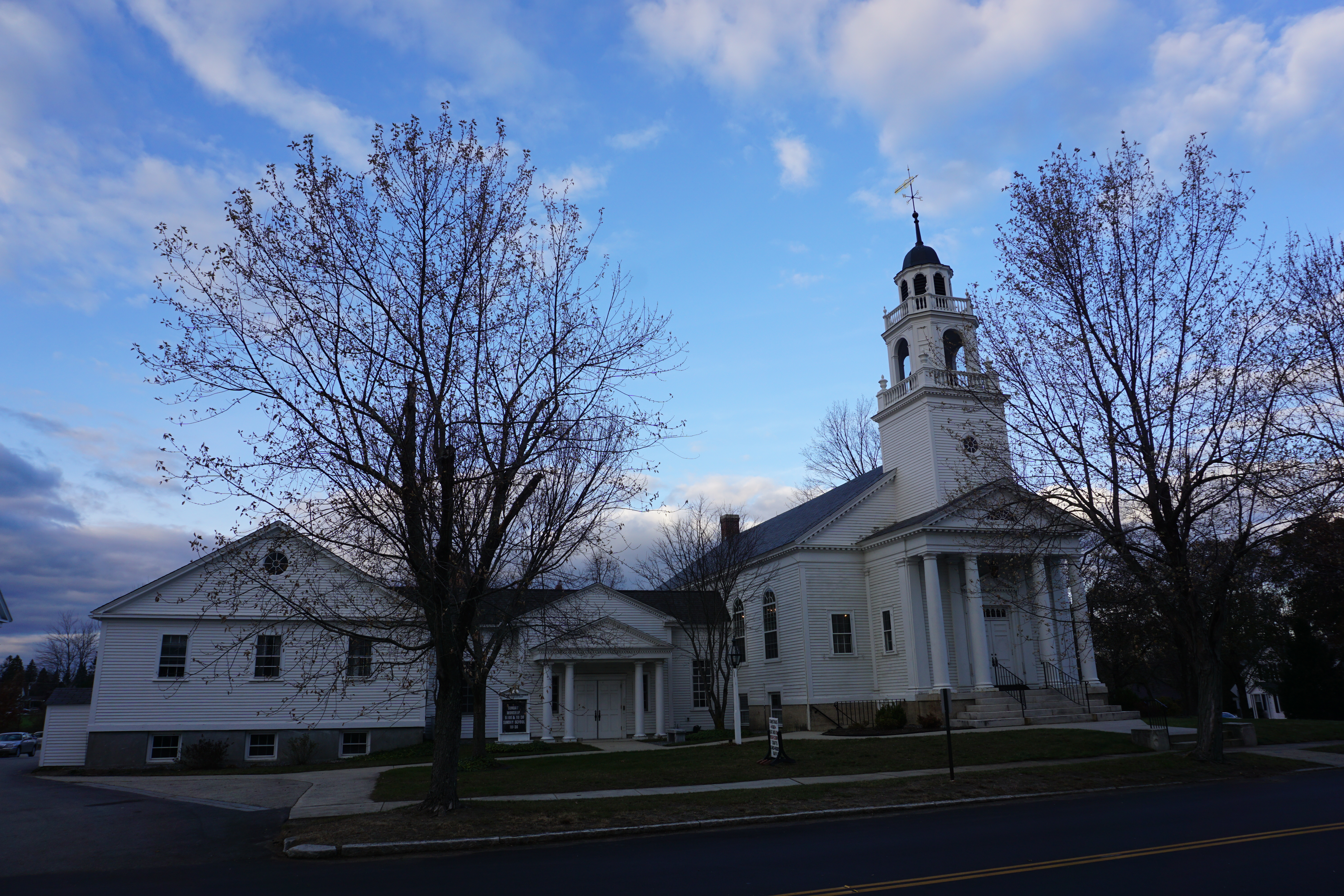 |
| The Congregational Church of Hollis |
 |
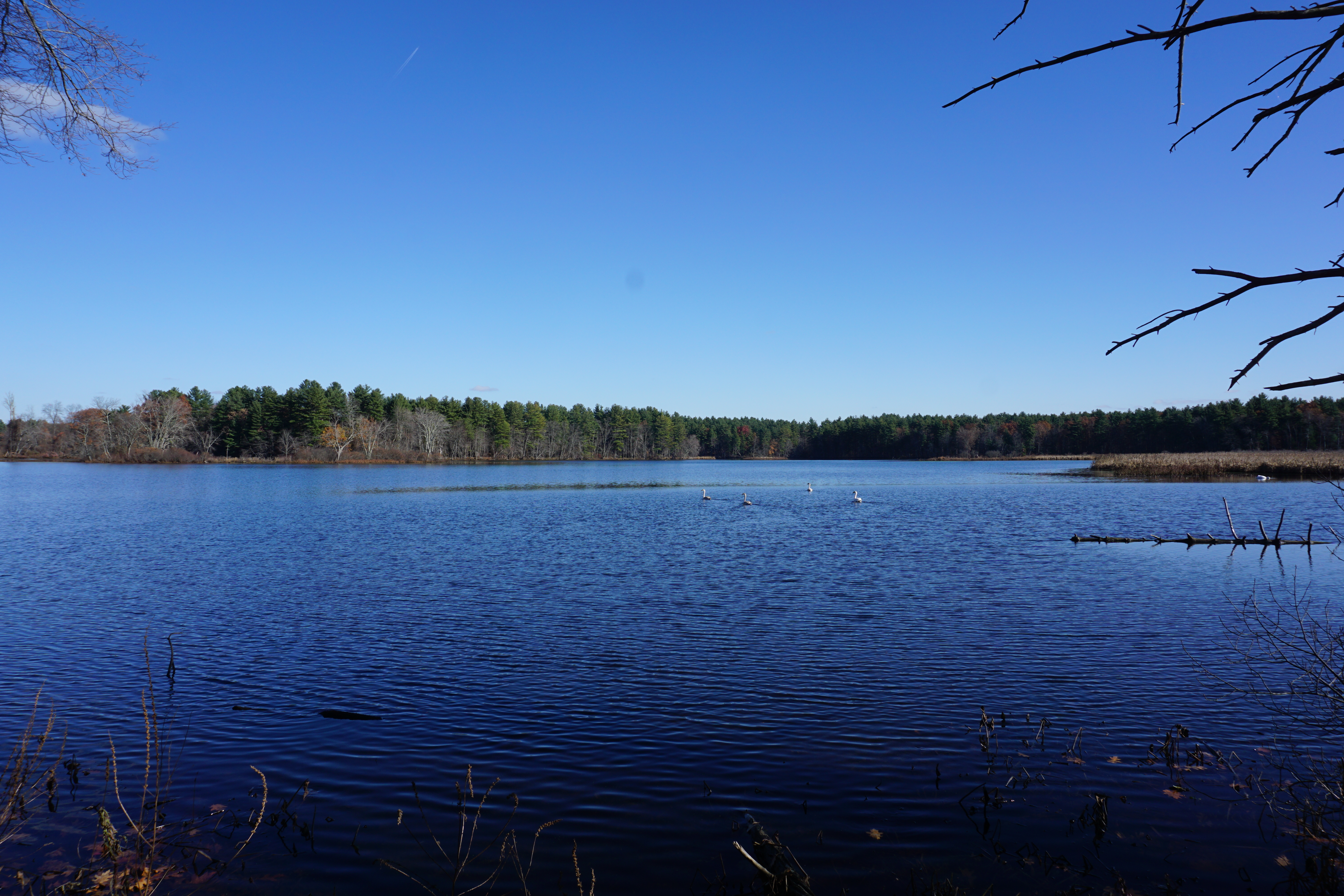
| Rocky Pond |
 |
| Worcesters Millpond, Roxky Pond Road, 42.753315, -71.624285 |

I also went to visit the Hollis Historical Society, which happened to be open today.
With that, I called it a day for sightseeing, heading back to Massachusetts to the town of Marlborough to get some Brazilian food from Labaredas Brazilian BBQ.

No comments:
Post a Comment