Showing posts with label Groton. Show all posts

Saturday, August 14, 2021

August 14th 2021: Breakfast in Northborough, Dessert in Carlisle, Lunch in Groton

 Today, while on the way to Carlisle, we happened to pass by AggroDolce Coffee Shop in Northborough and decided to go check it out. Small but nice cafe.


We got a Butter Croissant

and the Pink Bottom (whipped coffee sitting on top of strawberries and 2% milk).
The croissant was a little on the burnt side, and while the drink initially did not taste like much, after mixing it thoroughly, the drink was a pretty interesting twist on Dalgona coffee. Overall, not bad an experience here.

Passing through Stow,
Gleasondale Industrial Park,
501 Gleasondale Road

We checked out Carlisle for a bit,
Carlisle Public School

21 Bedford Road


getting some Strawberry Ice Cream from the Kimball Farm location in town.
Just alright, with no strawberry bits to be found. 

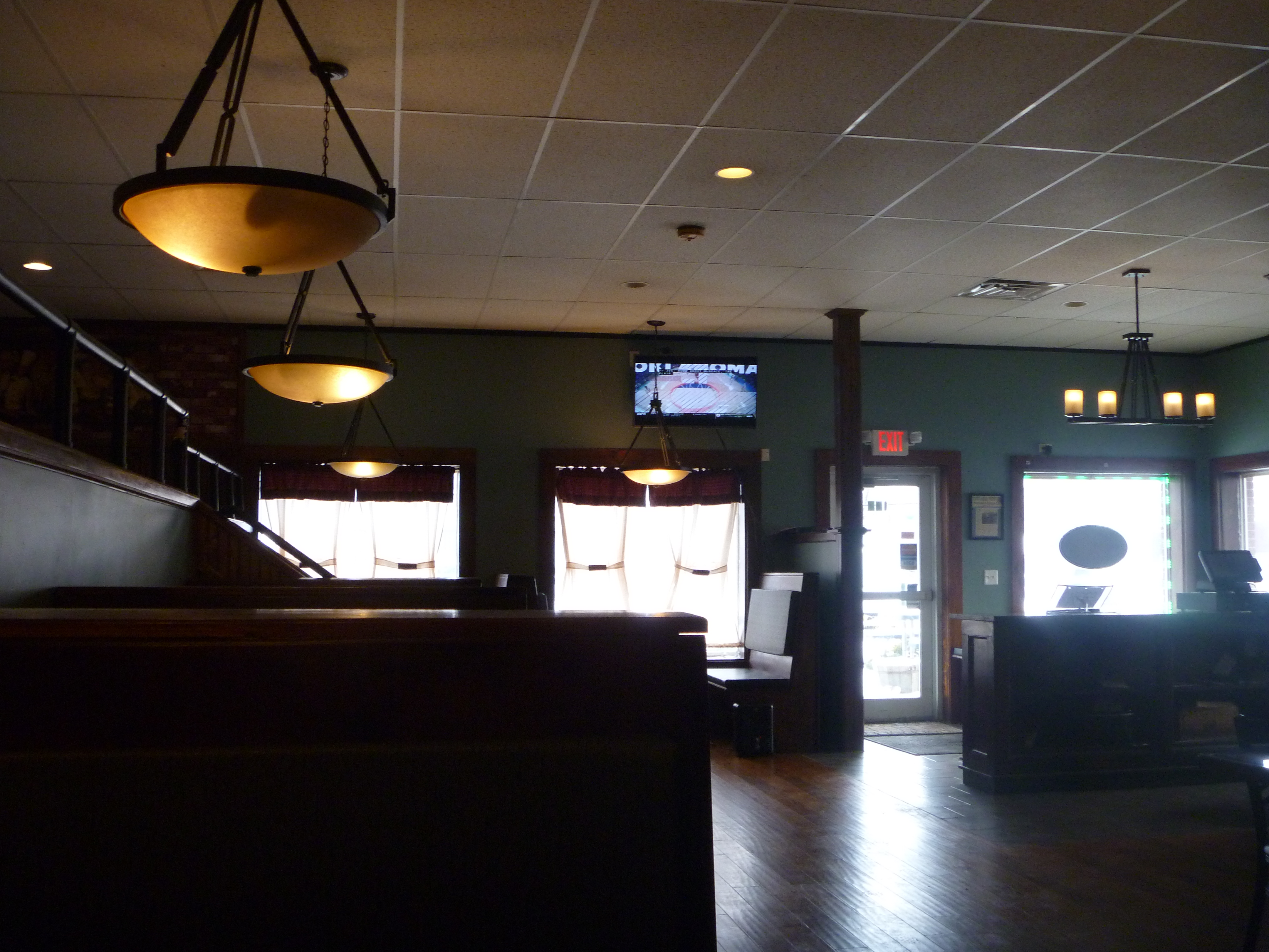
From here, we decided to head to lunch in Groton, checking out the Groton Publick House, a new bar restaurant which has replaced the Tavern at the Groton Country Club, which I visited once in the past. Decent decor inside.

We got the Crispy Chicken Tenders (with BBQ sauce, cucumbers, French fries, grapes),

the Classic Chopped Cobb Salad (chopped romaine, bacon, chicken, avocado, cheddar, hard boiled egg, cucumebr, tomato, red wine vinaigrette)
and the House Smoked and Pulled Pork Sandwich (griddled bun, coleslaw, pulled pork, jalapeno jam).

The tenders were crispy for once, and the burger was deliciously sweet and spicy with the jalapeno jam. The salad was alright with the wine vinaigrette. Overall, a really good meal here in Groton. With that, an end to a day of checking out the town of Carlisle.


Wednesday, November 21, 2018

Recommended Places to Visit: Groton

Recreation
Parks
Carole Wheeler Memorial Park
Groton Road and Townsend Road

General Field
400 Farmers Row


Museums
Historical Society
172 Main Street


Canoeing/Kayaking
Nashoba Paddler
398 West Main Street


Beaches
Sargisson Beach
150 Whiley Road


Water Bodies
Lost Lake
Lost Lake Drive near Redskin Trail

Knops Pond
End of Island Road

Baddacook Pond
810 Martins Pond Road


Wattles Pond
Paquawket Path and Longley Road


Hiking
Recommended:
Bates Conservation Land
Old Ayer Road near Peabody Road

Duck Pond
Lost Lake Drive between Pine Trail and Groton Road

Skinner Forest: Whitney Pond
Lost Lake Drive between Pine Trail and Groton Road

Groton Place Wildlife Sanctuary
387 West Main Street

Groton School Pond
74 Smith Street

Groton Town Forest
End of Town Forest Road

Bertozzi Wildlife Management Area
731 Townsend Road

Talsey Conservation Restriction
Riverbend Drive, 42.610788, -71.596948

Blackman Field and Woods
End of Indian Hill Road


Tried:
Mason Back 100
447 Old Dunstable Road

Gamlin Picnic Site
Fitch's Bridge Road, 42.624604, -71.600421

Shepley Hill
Sand Hill Road, 42.632495, -71.575791

Rocky Hill
Robin Hill Road


Architecture
Monuments
American Legion Post #55
75 Hollis Street


Places of Worship
St. James Church
13 St. James Avenue

Christian Union Church
37 West Main Street

First Parish of Groton
1 Powder House Road

Union Congregational Church
218 Main Street

First Baptist Church
365 Main Street

New England Shirdi Sai Temple
99 Shirdi Way


Bridges
Fitch's Bridge
End of Fitch Bridge Road

Schools
Groton School
282 Farmers Row

Lawrence Academy
26 Powder House Road

Groton Dunstable Regional High School
703 Chicopee Row

Boutwell Early Childhood Center
78 Hollis Street


Town Facilities
Public Library
99 Main Street

Town Hall
173 Main Street


Historical Buildings
Bancroft Castle
Lowell Road near Shattuck Street

Kalliroscope Gallery
264 Main Street

Old Groton School Chapel
279 Main Street


Restaurants
Highly Recommended:
Western
The Tavern (closed)
94 Lover's Lane
Recommended Dishes:
Cheese Fries
Beer Battered Coconut Shrimp with Sweet Marmalade

Groton Publick House
94 Lover's Lane
Recommended Dishes:
Crispy Chicken Tenders
House Smoked and Pulled Pork Sandwich
Classic Chopped Cobb Salad

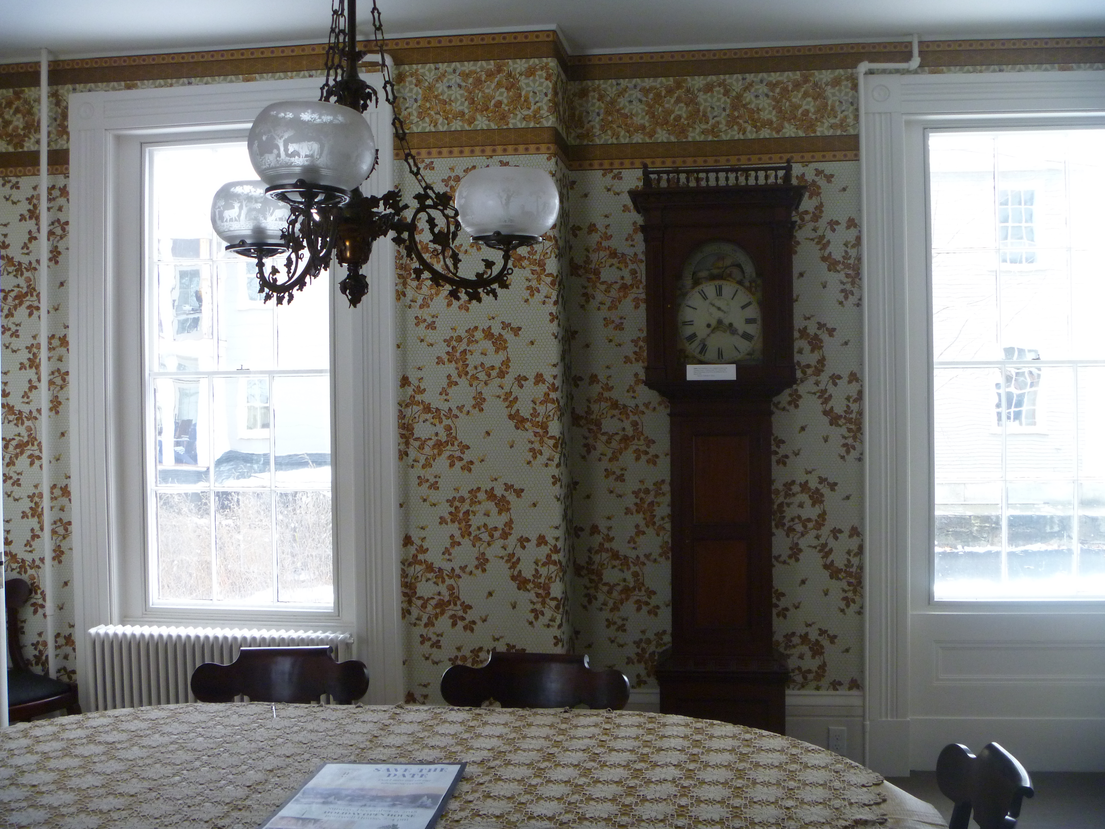
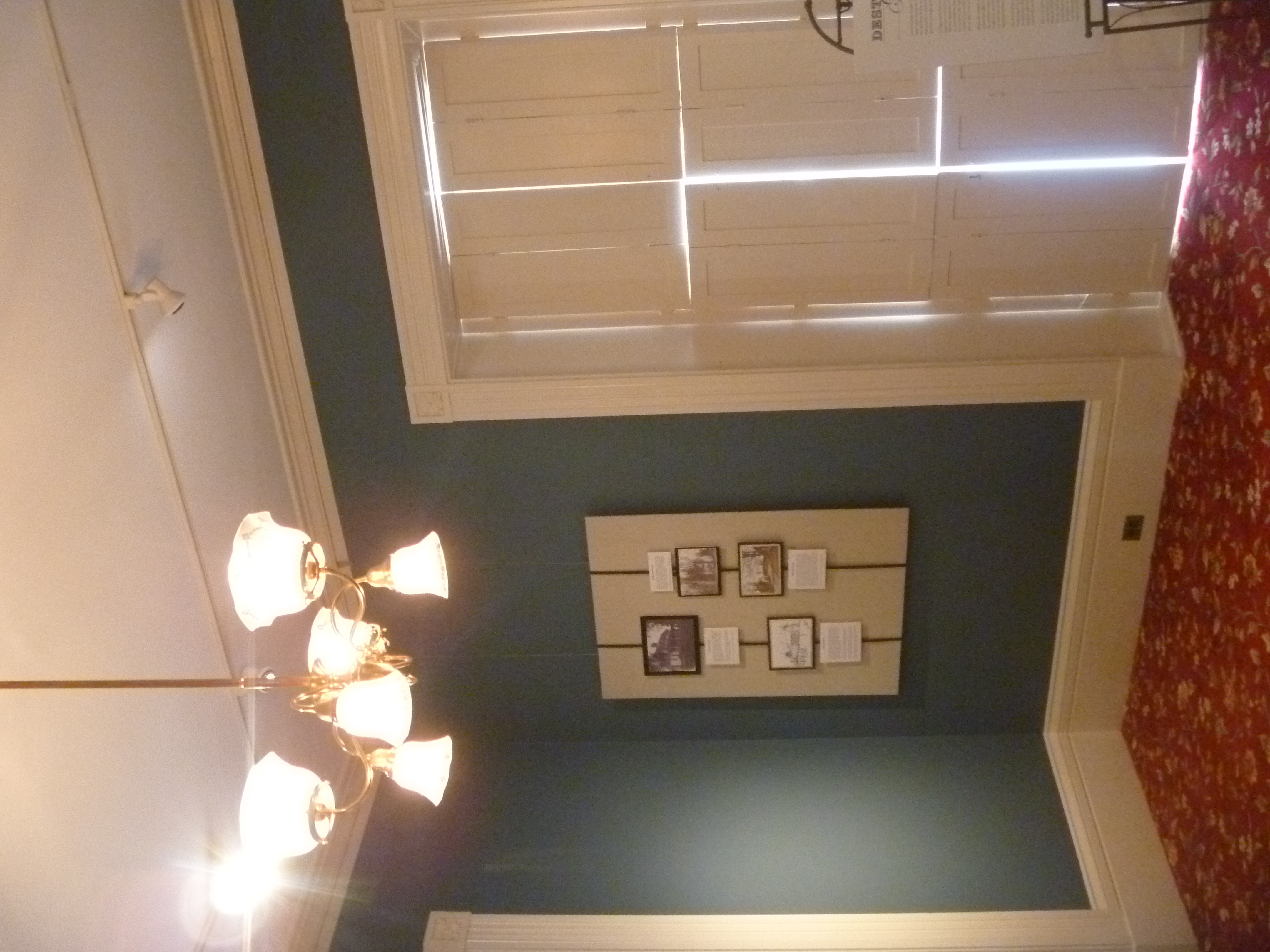
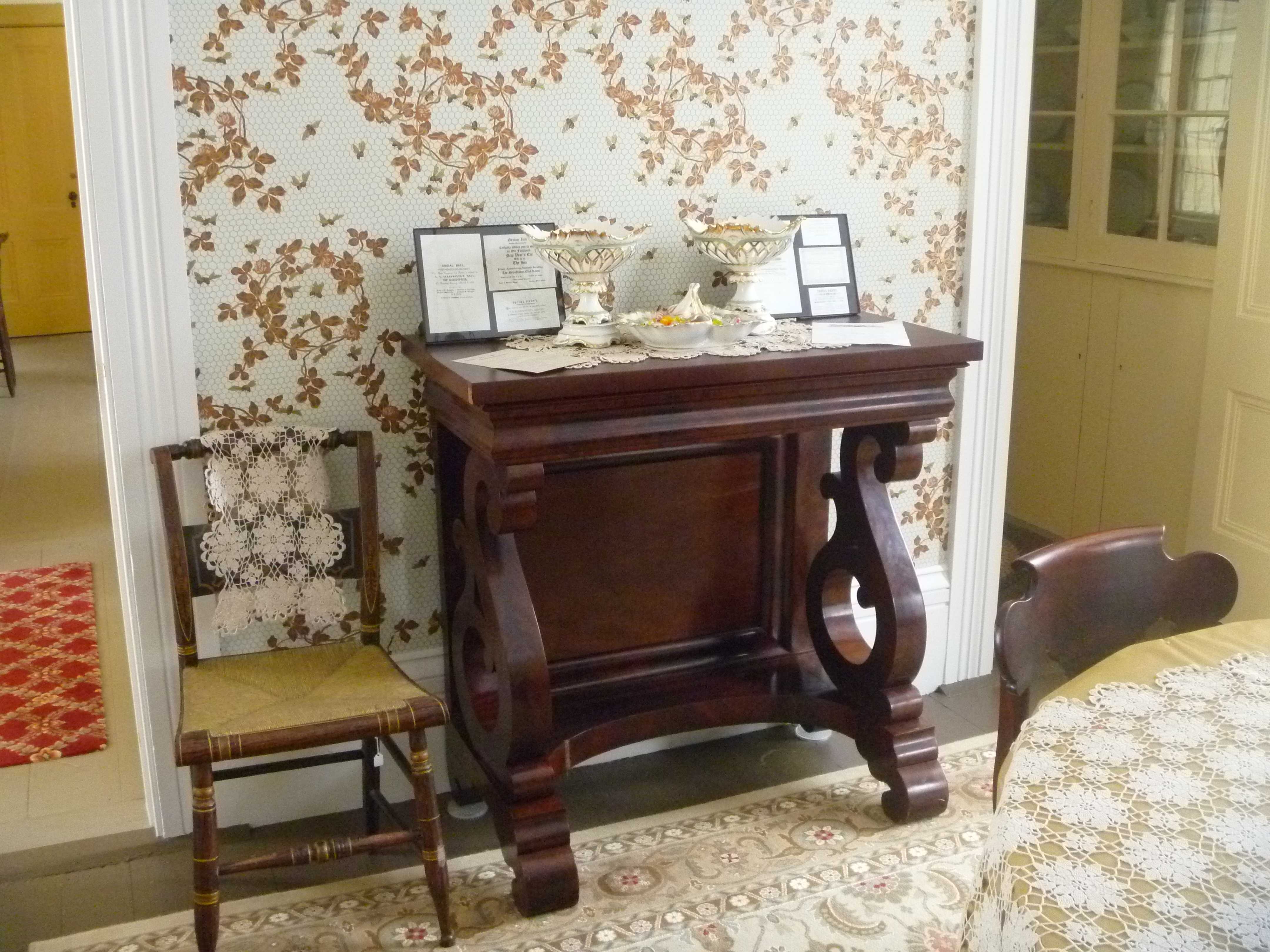
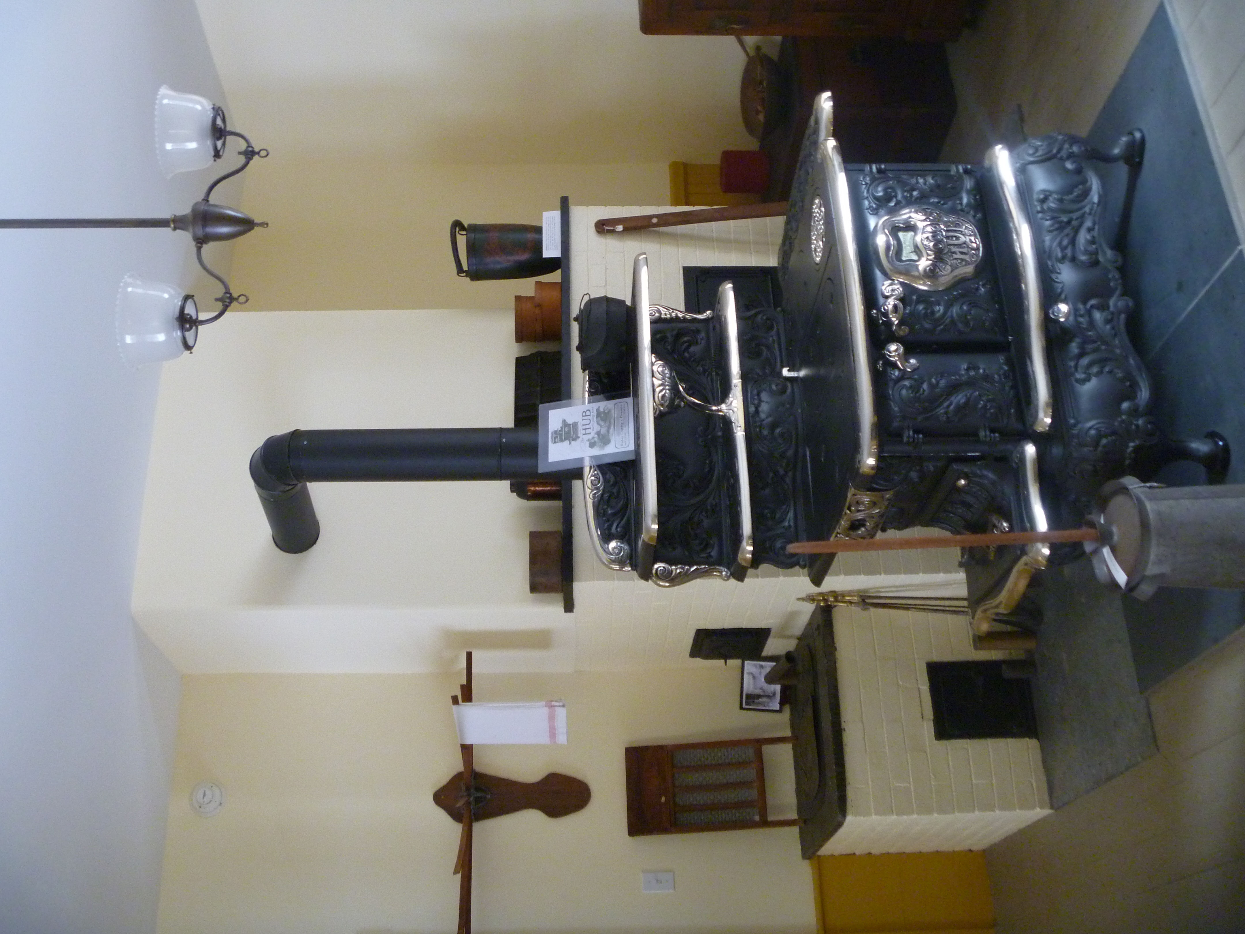
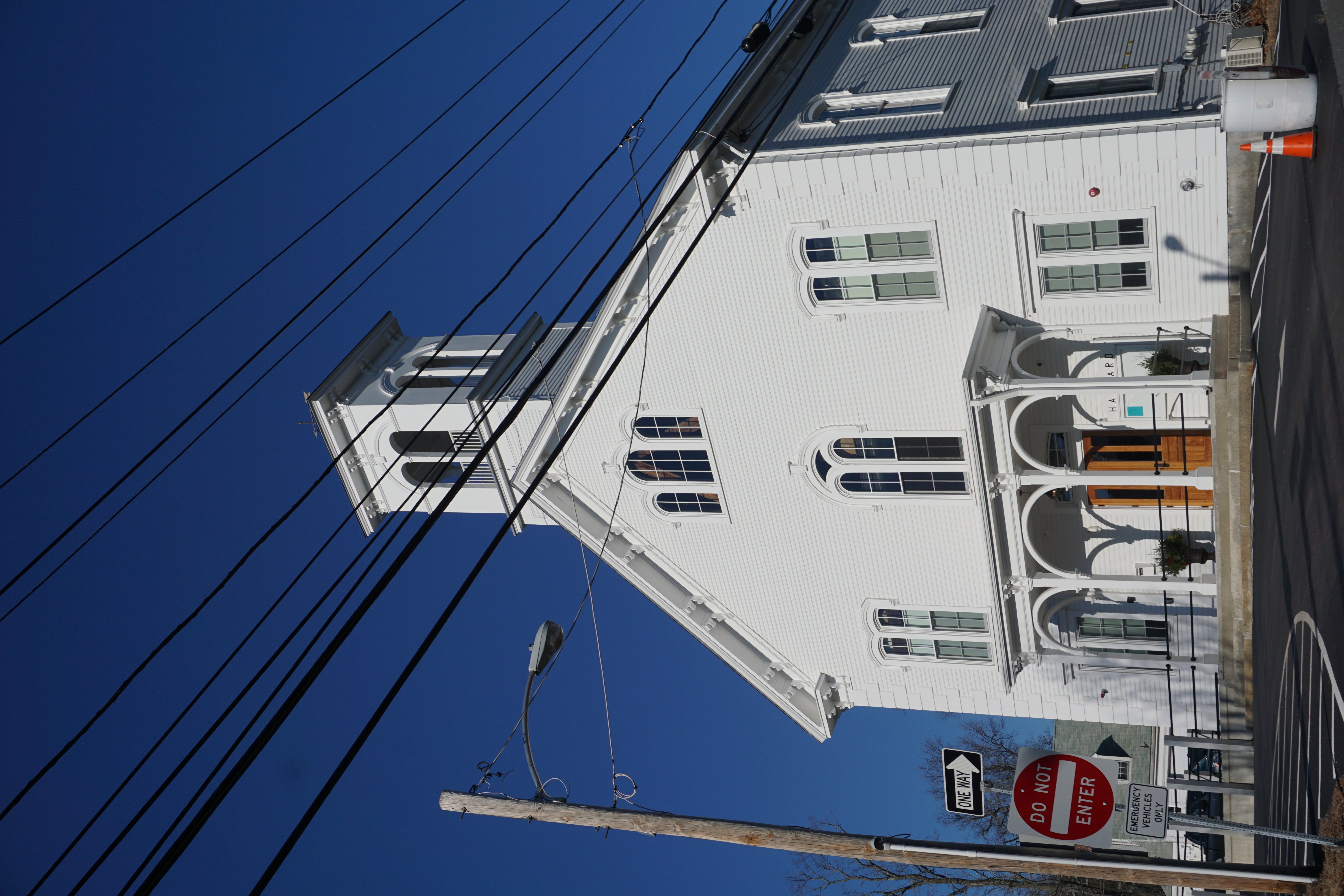
November 21st 2018: Visiting the Groton Historical Society

I headed into the town of Groton today
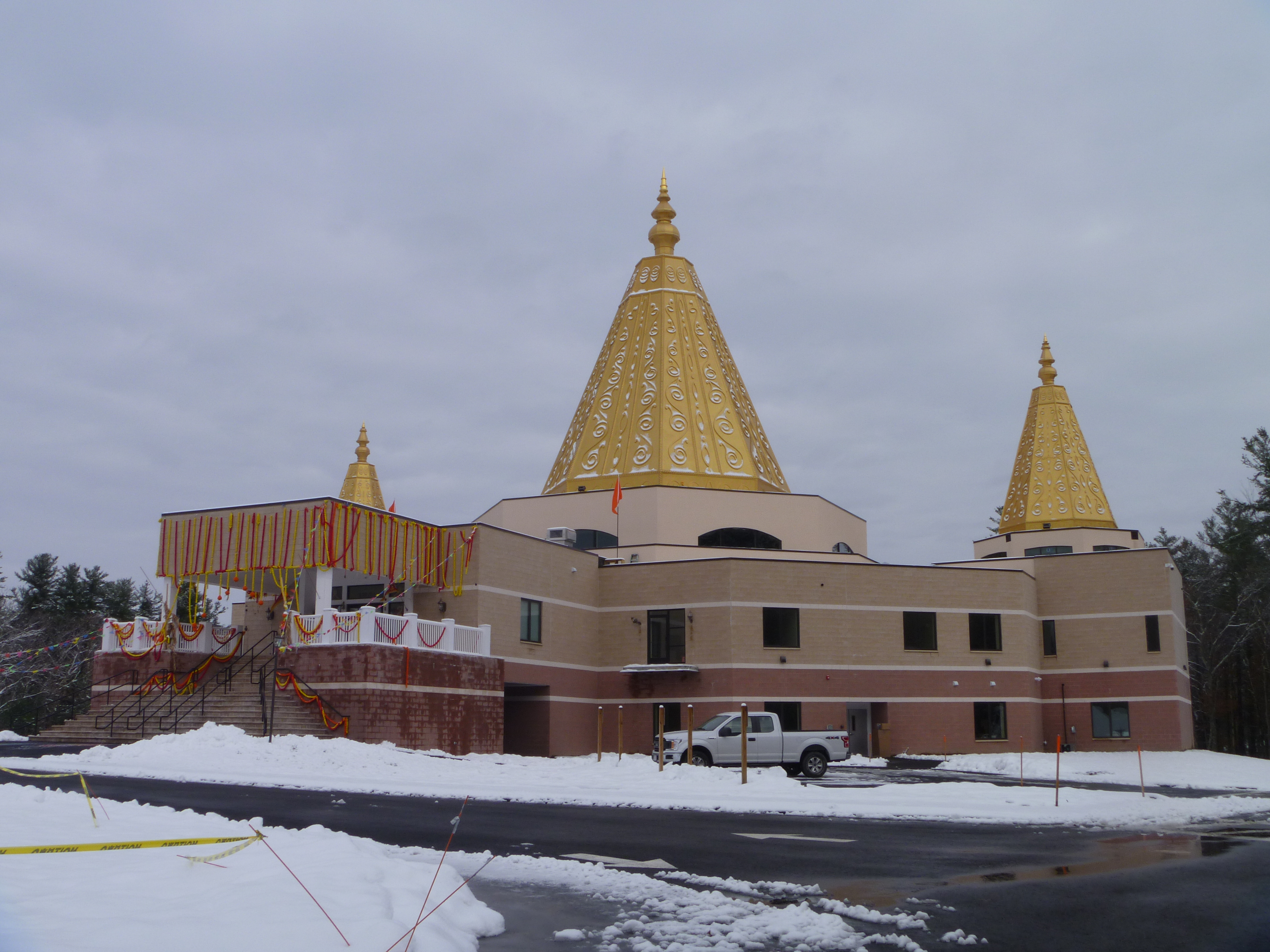
New England Shirdi Sai Temple

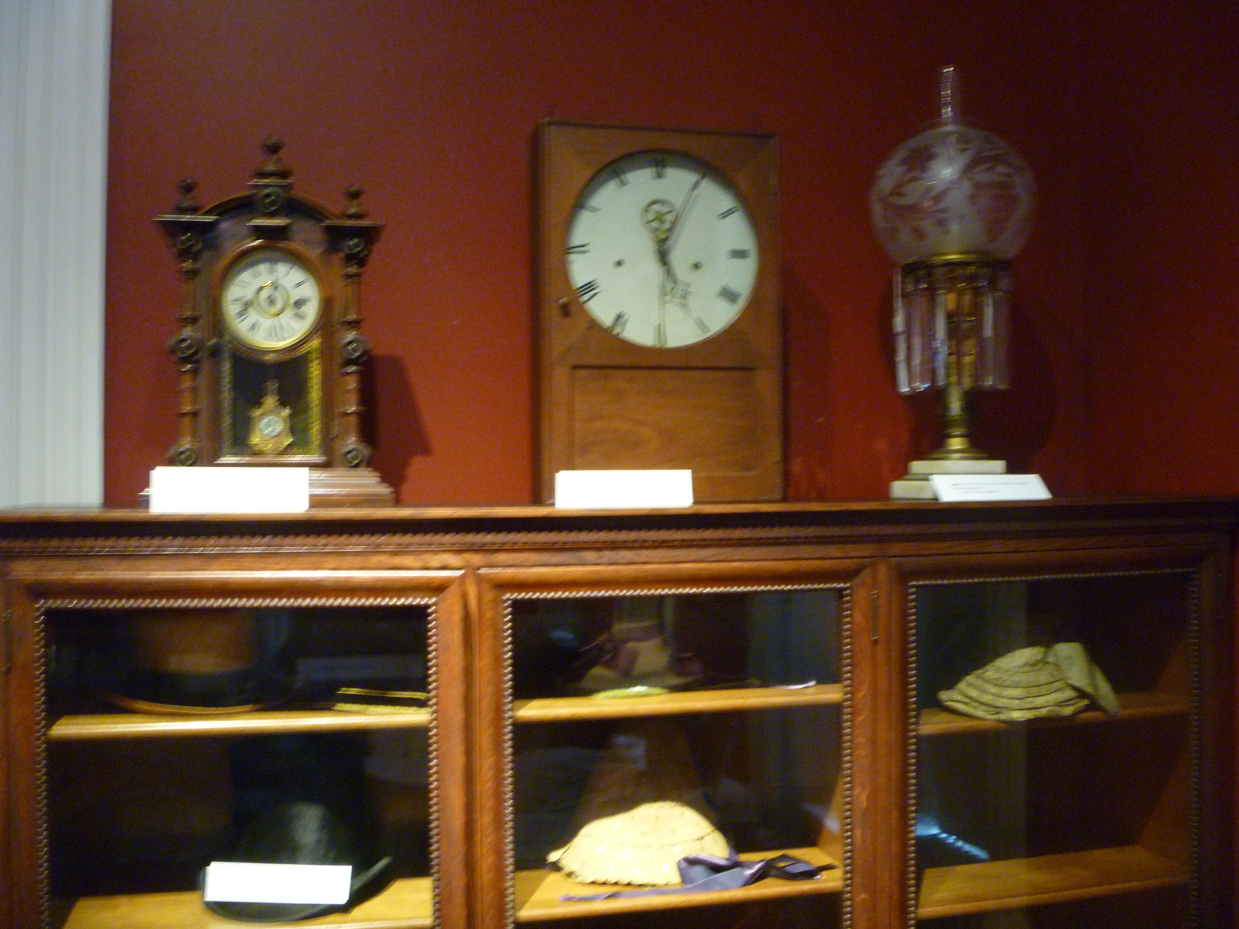
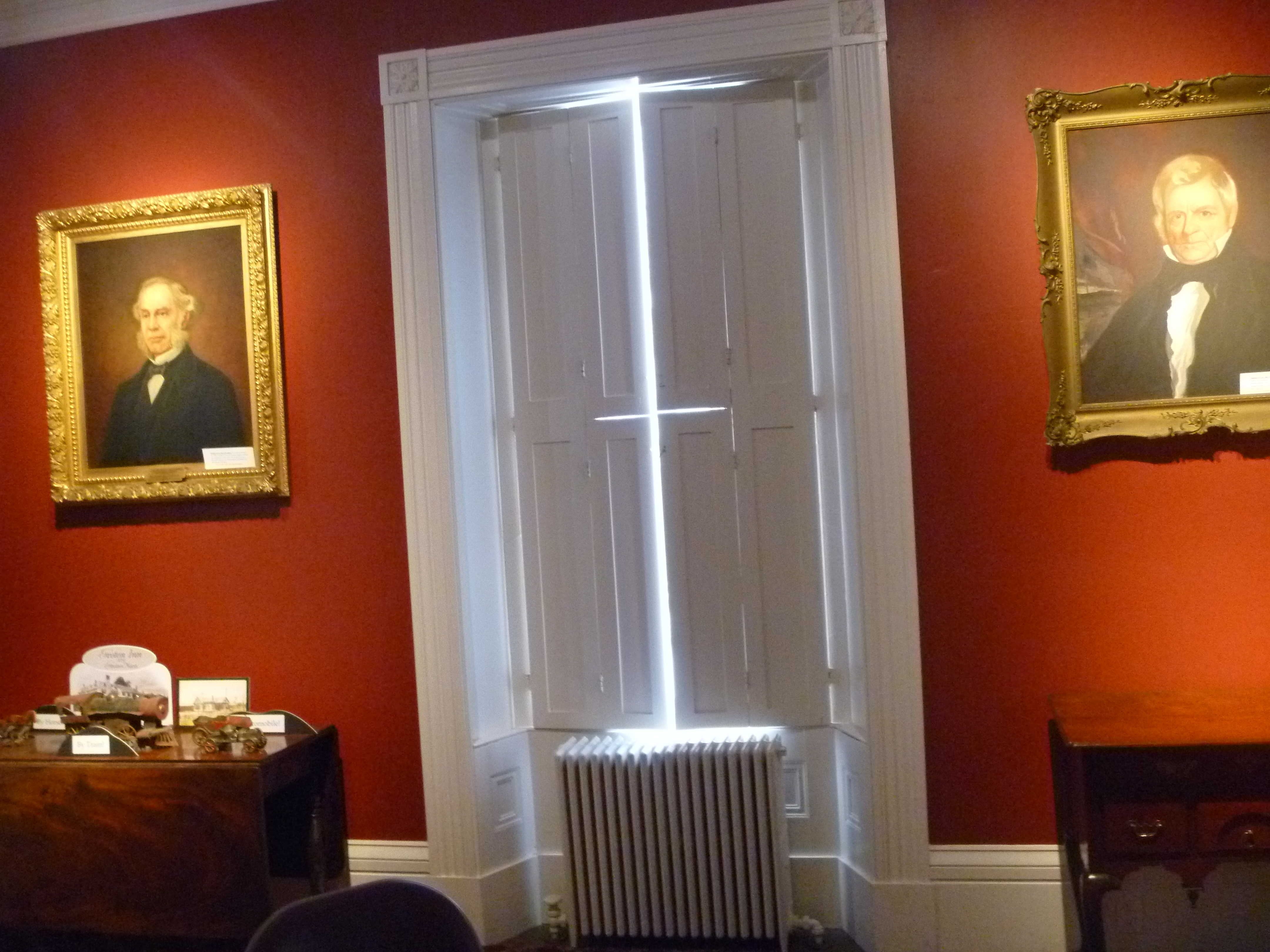
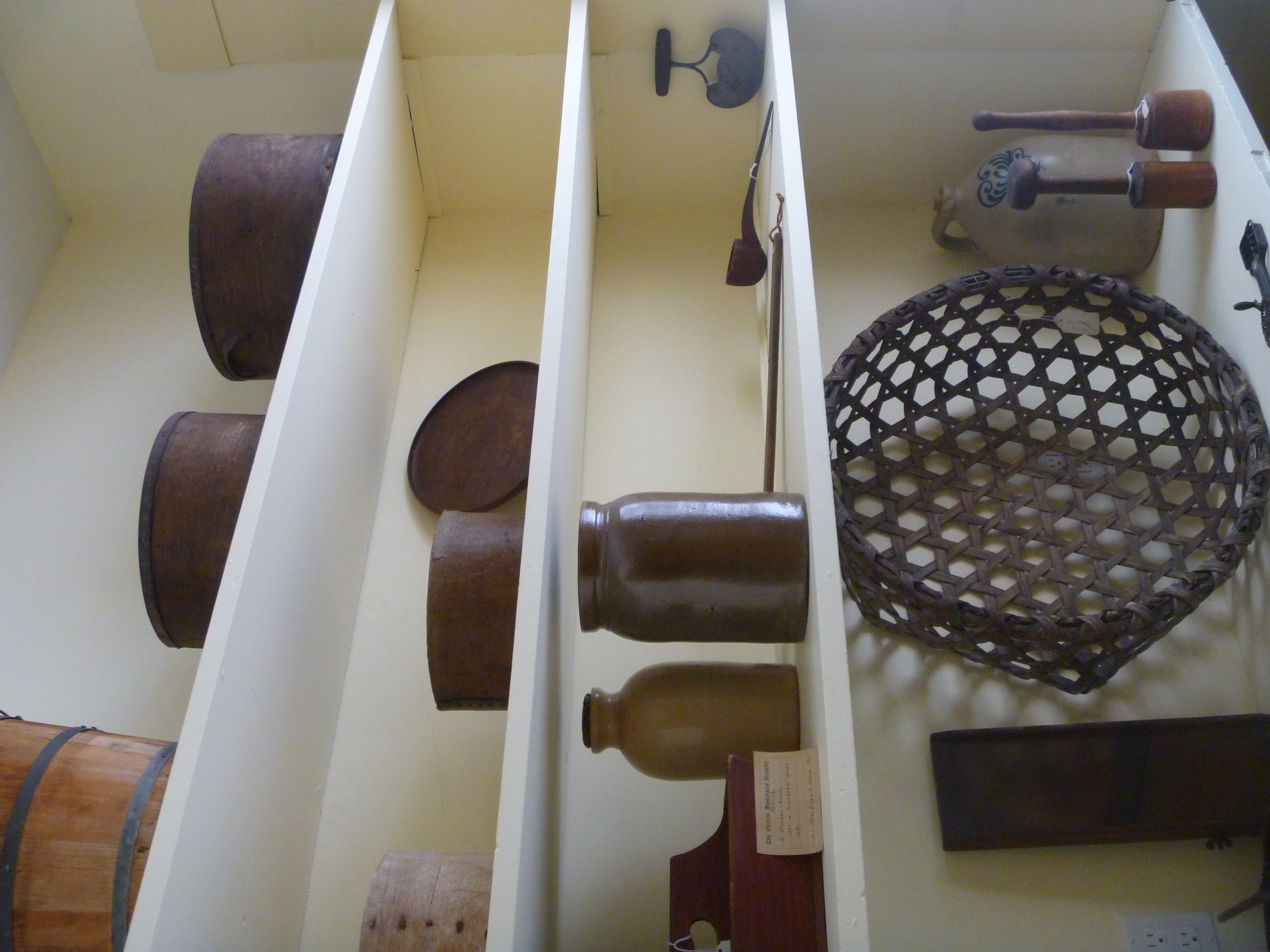
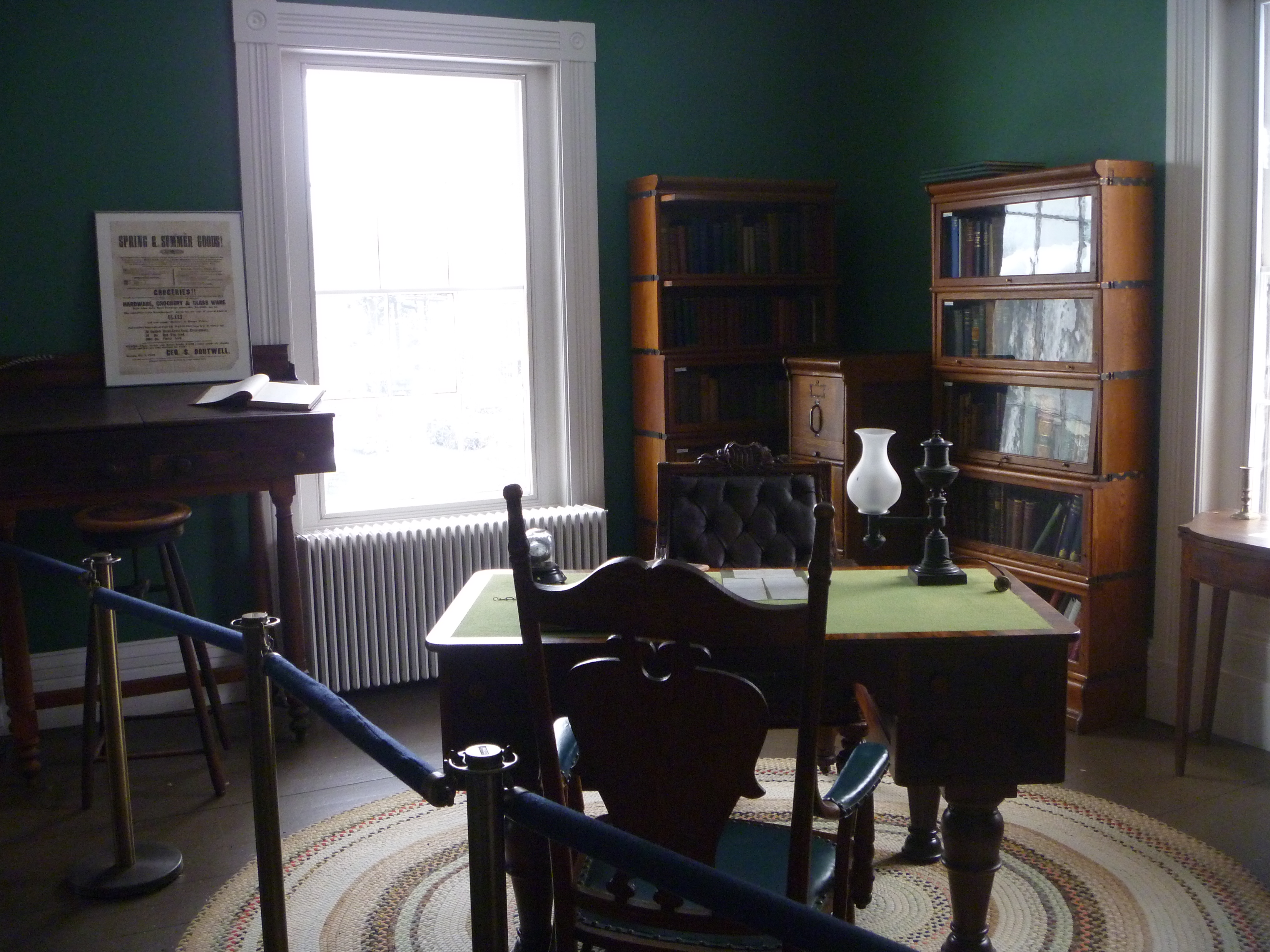
To check out the Groton Historical Society, which has a decent set of exhibits.

For lunch, I stopped by Dickie's Grillin', a decent looking restaurant in Fitchburg, although the menu is somewhat simplistic.

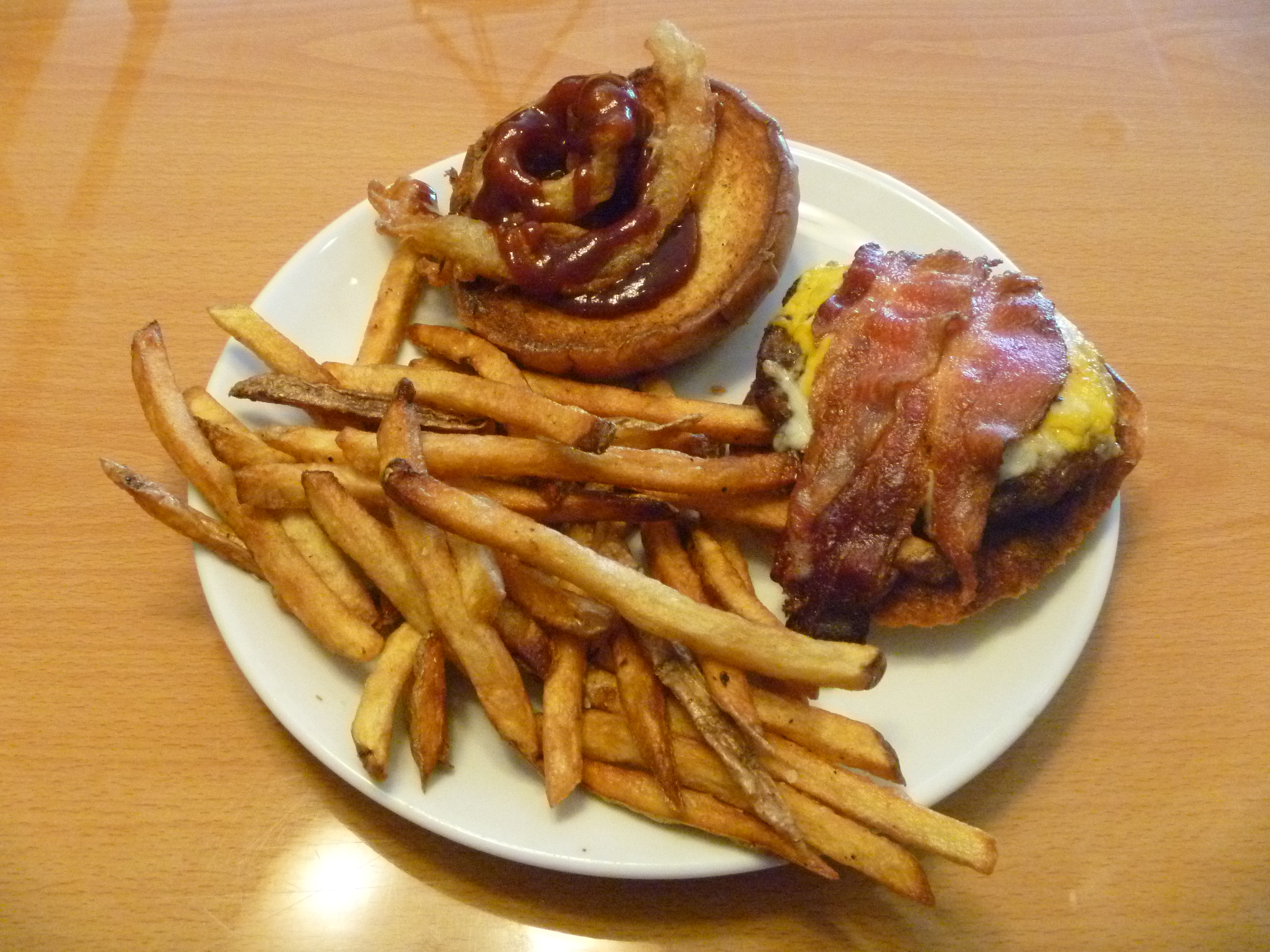
I got the Rodeo Burger (blackened grilled burger glazed with BBQ sauce, topped with onion rings, bacon and cheddar cheese).

Not bad for a quick meal. The menu is a bit of a letdown though.

Monday, May 14, 2018

May 14th 2018: North Before Work, South After Work

I started out this morning in Sterling, going for a short hike to Fitch Basin from 47 Heywood Road.
Pretty nice water body, and I am glad I did not go the long way around on the Gaylord Trail.

My next hike was at the Heywood Reservoir area, where the path I took is shown below in pink.
Really nice reservoir to say the least.
Once again, glad I took the shortcut, although I had to park illegally.

My next hike was in the town of Lunenburg at the Cowdrey Nature Center, where the rough path I took is shown below in pink.
Except for partial views of the river and wetlands from the Vista High Trail,
nothing much else to see here,
and I was disoriented the whole time I was here.

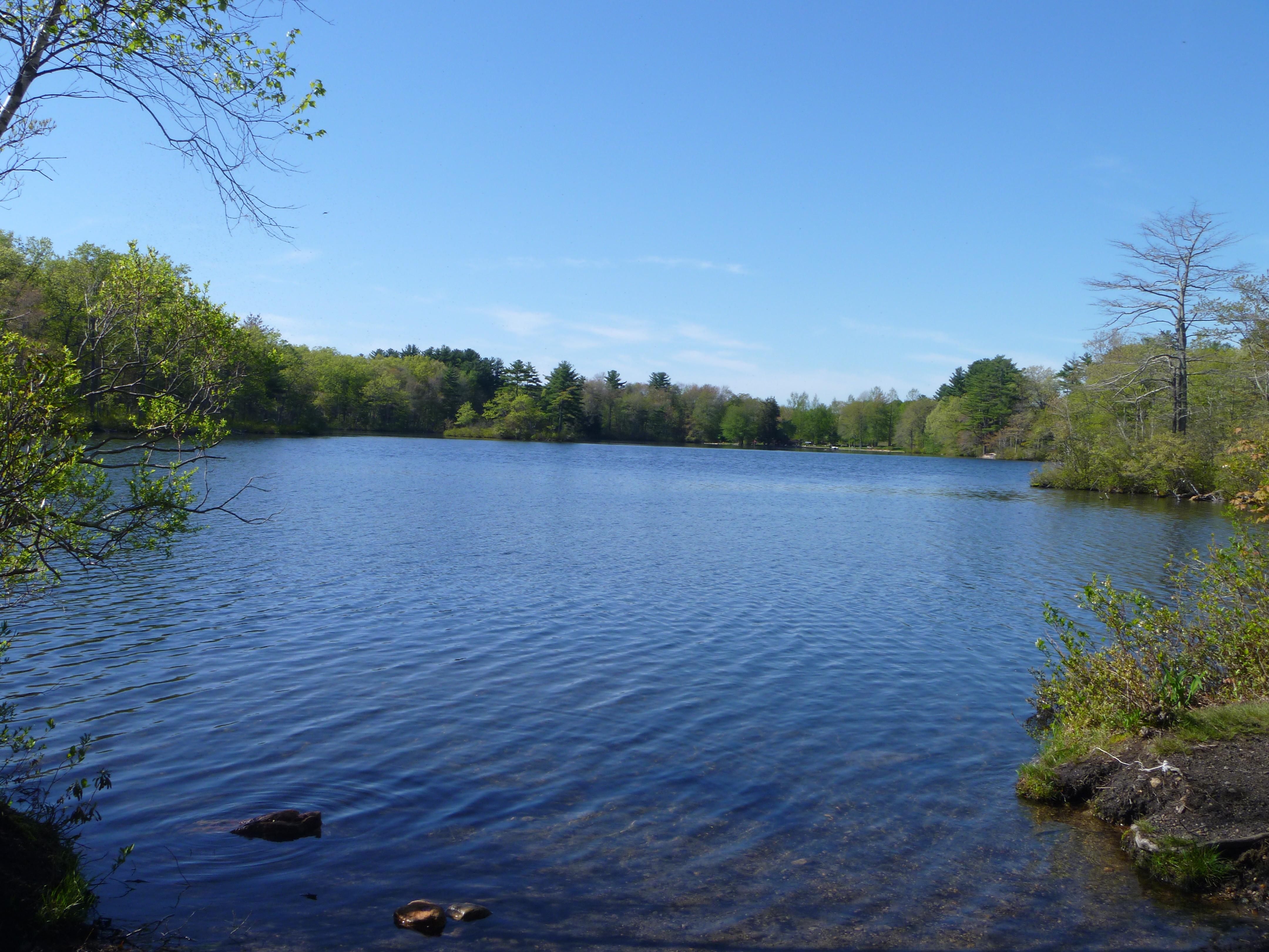
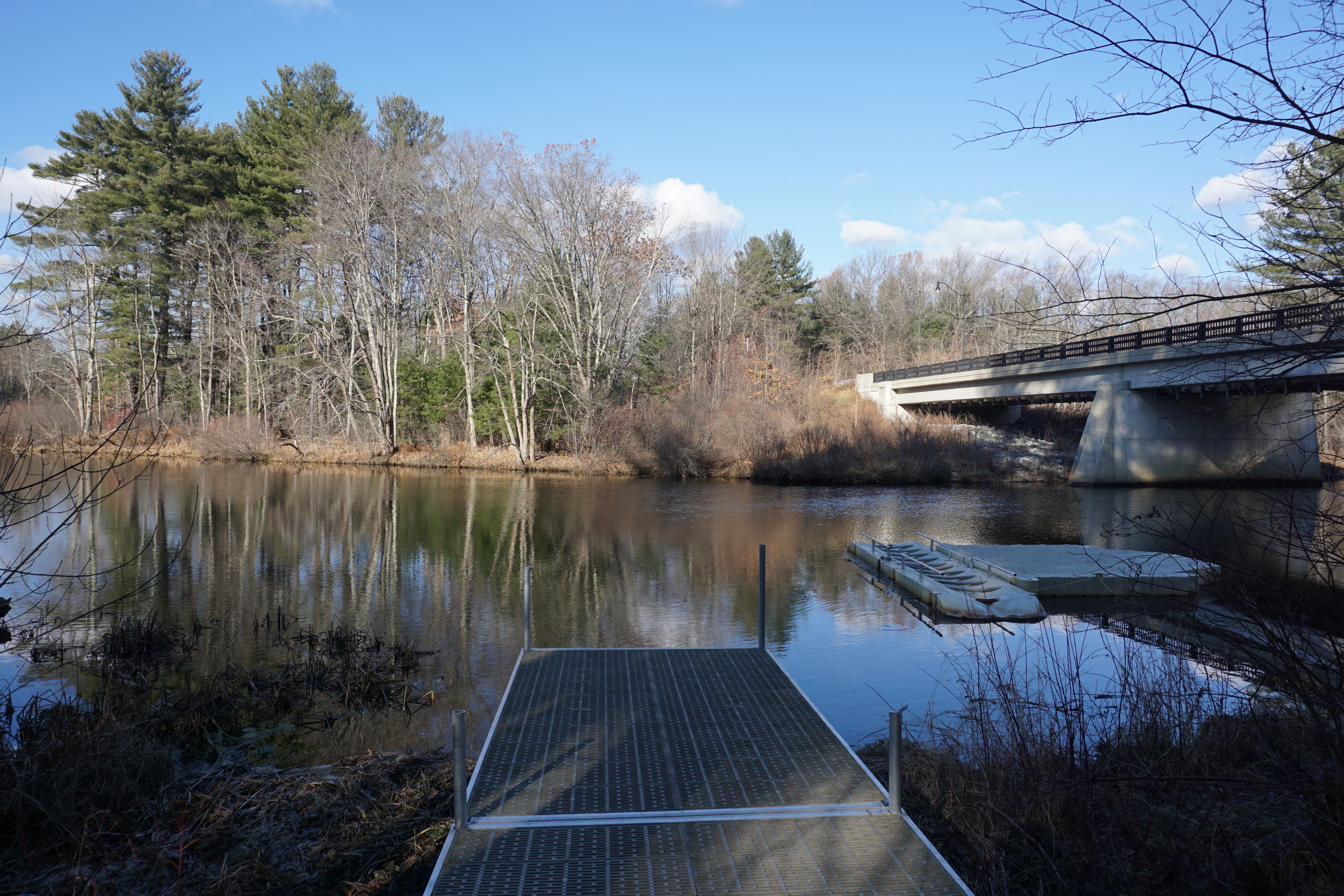
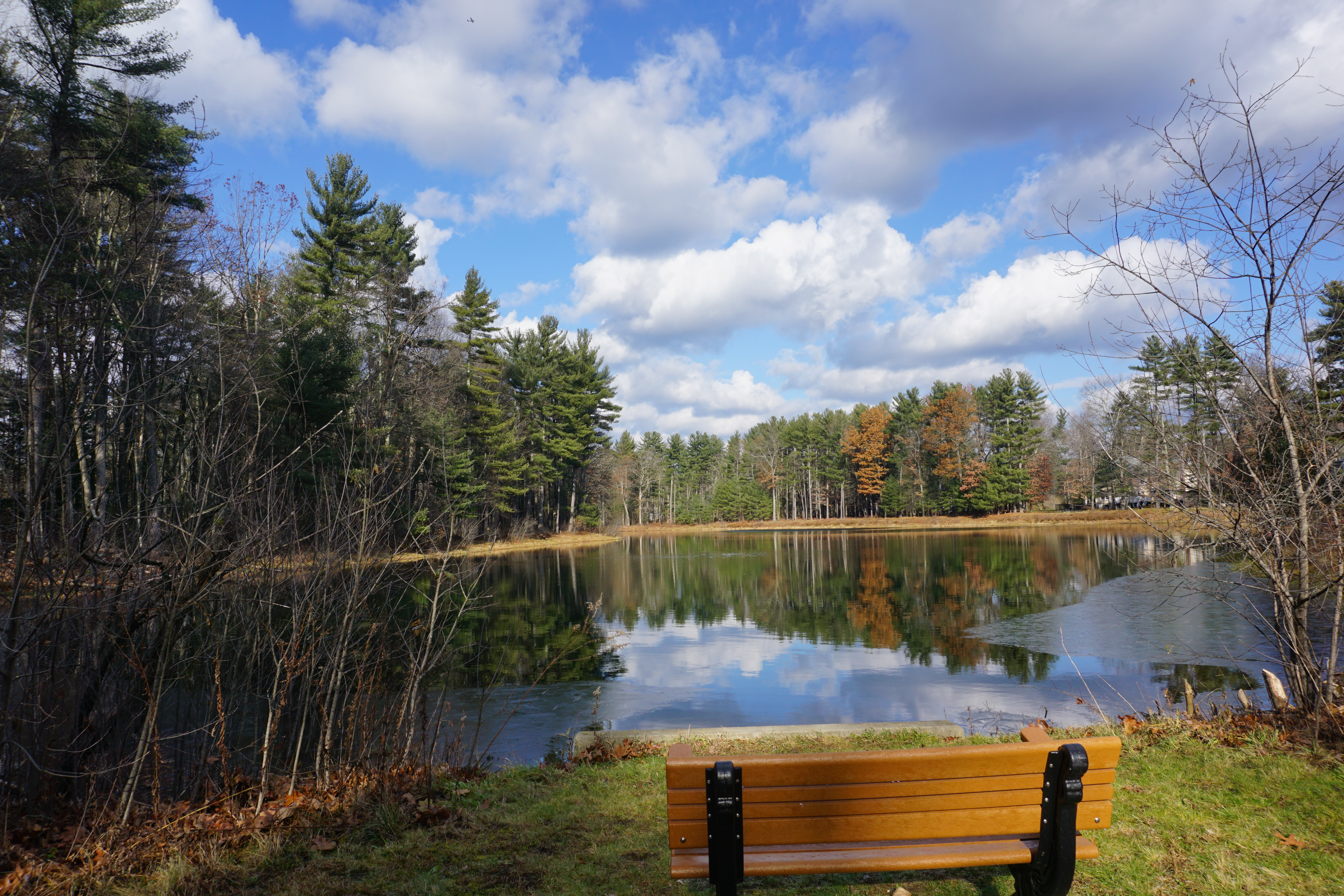
From here, it was on to Groton for a hike northward on the Nashua River Rail Trail to get to Groton School Pond from 74 Smith Street.

Yet another nice water body to view from a paved walkway.
My final hike of the day was at Beaver Brook in Hollis NH, where I took the Potanipo Rail Trail to find the Great Meadow.
The wetland here is just alright though.
With that, I headed to work, and after work, I opted to go south this time, heading to Douglas for a hike along the Southern New England Trunkline Trail southwestwards from 32 South Street to look for Morse Pond.
Not bad a hike for a nice pond.

From here, I headed to the Uxbridge section of the trail, looking for Lee Pond northwestwards from 119 Aldrich Street.

I had to head down the slope on a steep trail to get to it, but it was worth it I guess.
A pretty good day of hiking, I must say, after a long stretch of disappointments in the northeast.

Thursday, December 7, 2017

December 7th 2017: Making My Way to Nashua NH

I started my day off today in the town of Boylston, revisiting Elmer's Seat which I hiked a while back. This time, the path I took to find the other viewpoint is shown below in pink.
Unfortunately, the views here were not as good as at the other spot here.
Next, it was on to the town of Bolton for my next hike, at the Fyfeshire Conservation Area. The path I took here to walk around the pond is shown below in pink.
The troublesome part about this place is that the trail does not go completely around the pond due to private property, hence I had to retrace my steps to get to all the viewpoints. Not a bad walk around the pond though.
The next hike I went on was at Welch Pond in town, where the path I took to get to the pond is shown below in pink.
Unfortunately, I could only get partial views of the pond at best.
My next hike was at the Bolton Overlook, where the path I took here is shown below in pink.
Awesome views from the top of the hill, with not much effort made. The parking situation could be better though.
Next, the Town Common,

where there were decent views from the pavilion at the top of the hill, but not as good.
My next hike in town was at Wilder Pond, where the path I took here is shown below in pink.
Again, nothing much to see here, and the trails were really overgrown.

Not coming back here again.
My last hike in Bolton today was at the Bolton Flats area, where the path I took here is shown below in pink.

I initially tried to enter the area on the Still River Road side, but it was too flooded on this side for me to proceed.
Thankfully, there was another entrance to the area on Main Street right at the border with Lancaster,

and it was from here I was able to get to the flat open area with views of the mountains.
From here, it was on to the town of Harvard,
St. Benedict Abbey
where apparently the town hall has been renovated since the last time I was in the area,
and I went on a hike at another section of the Oxbow National Wildlife Refuge at 80 Hospital Road, where the path I took is shown below in pink.
Unfortunately, the only good views were by the Nashua River.
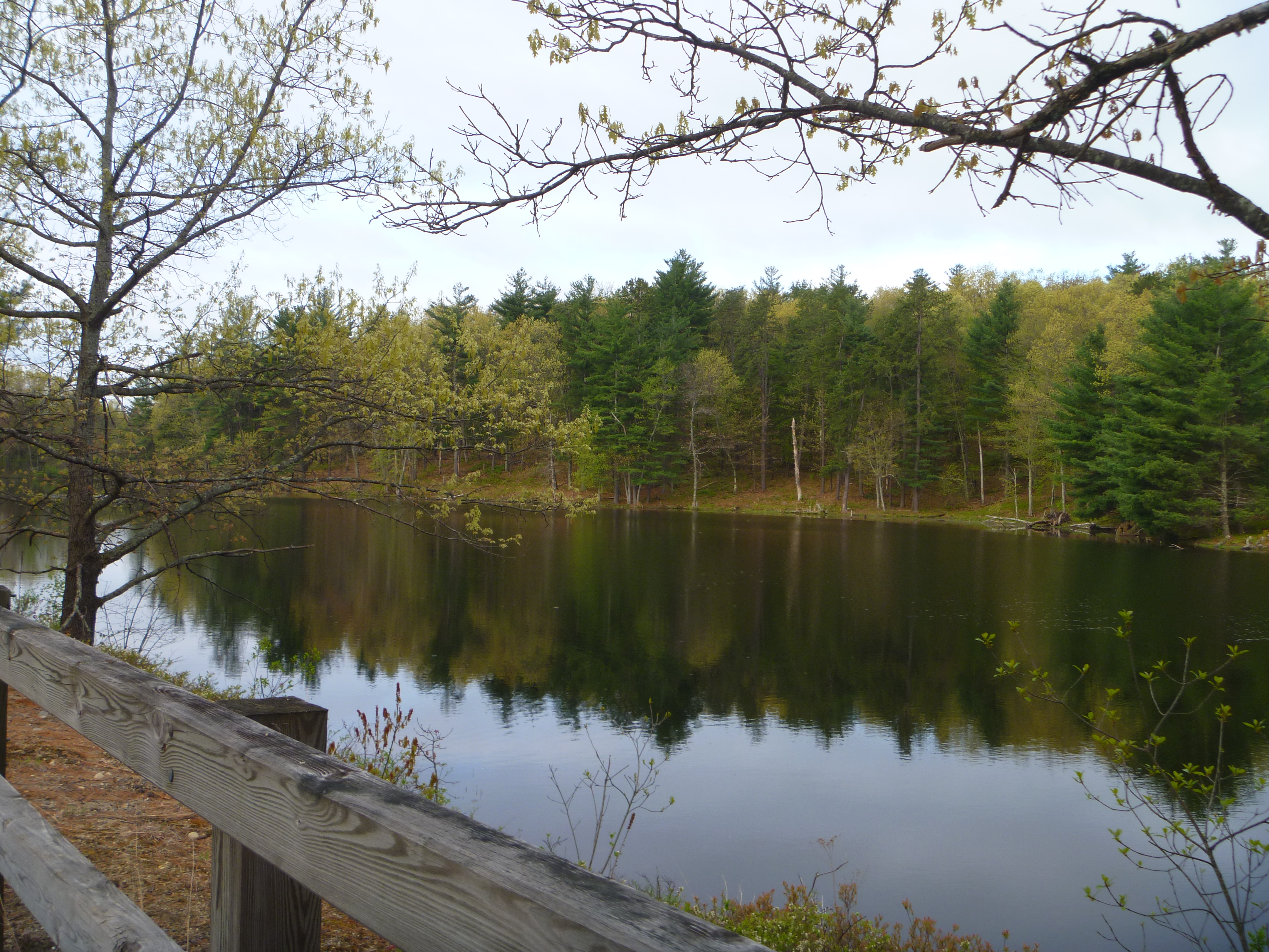
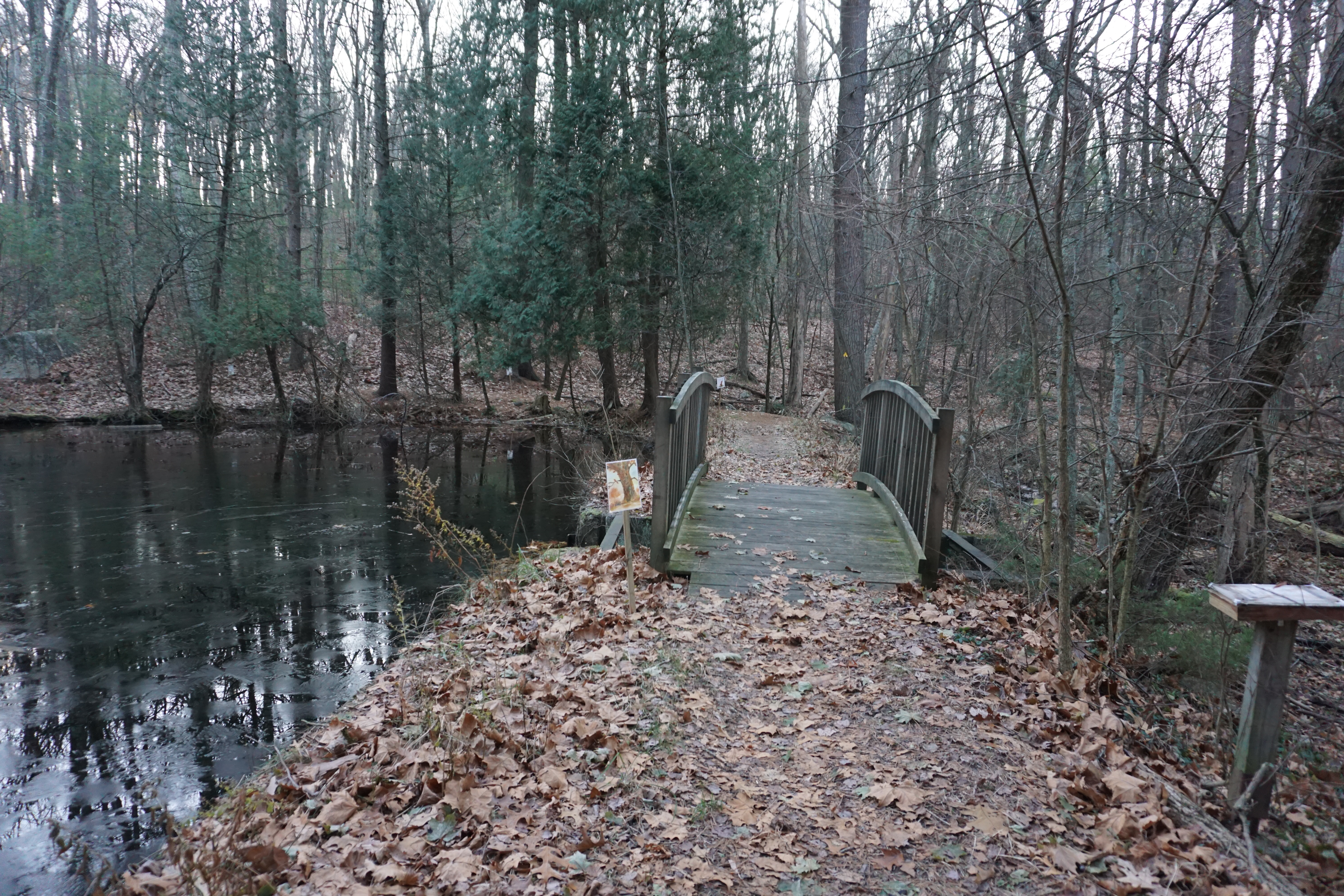
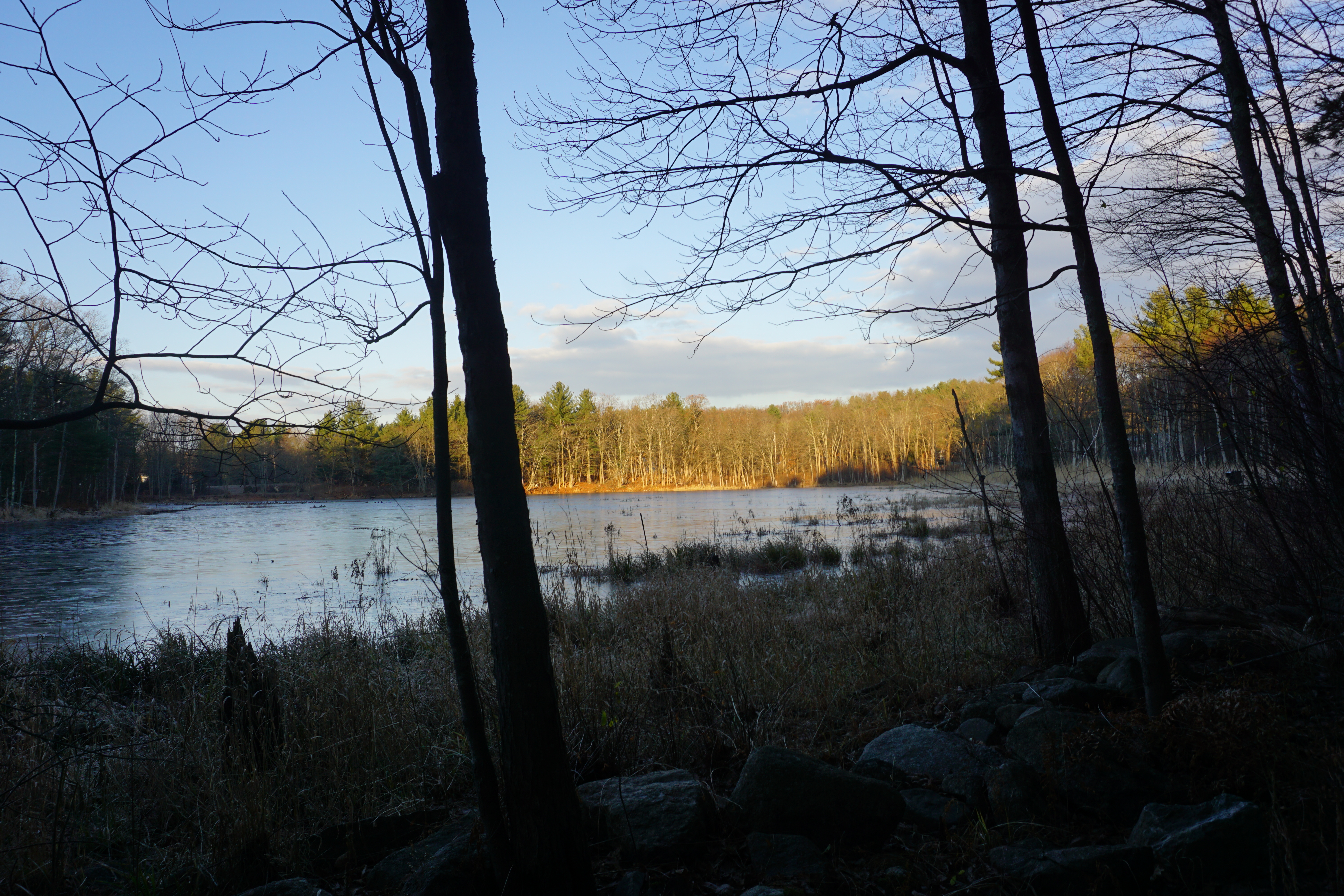
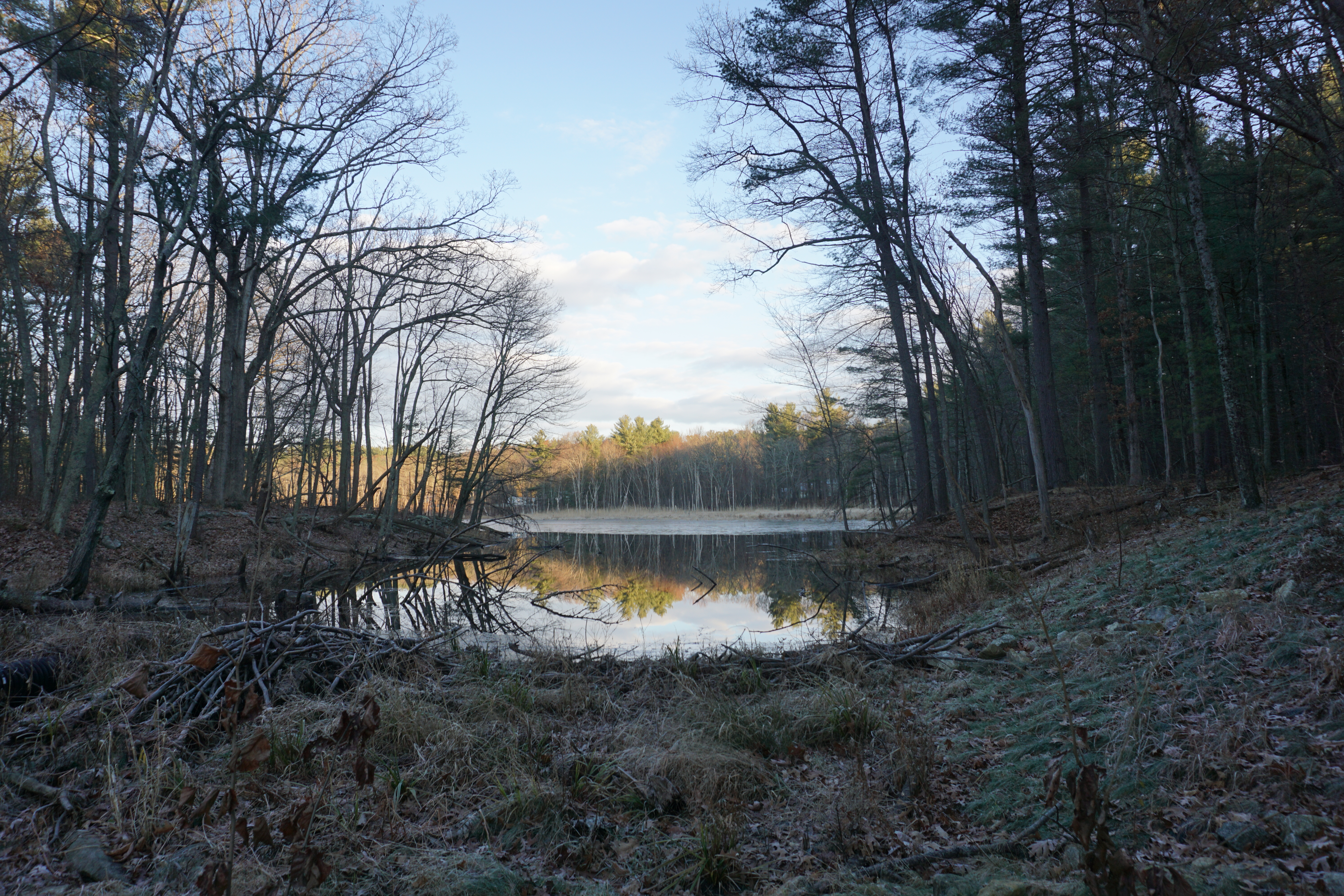
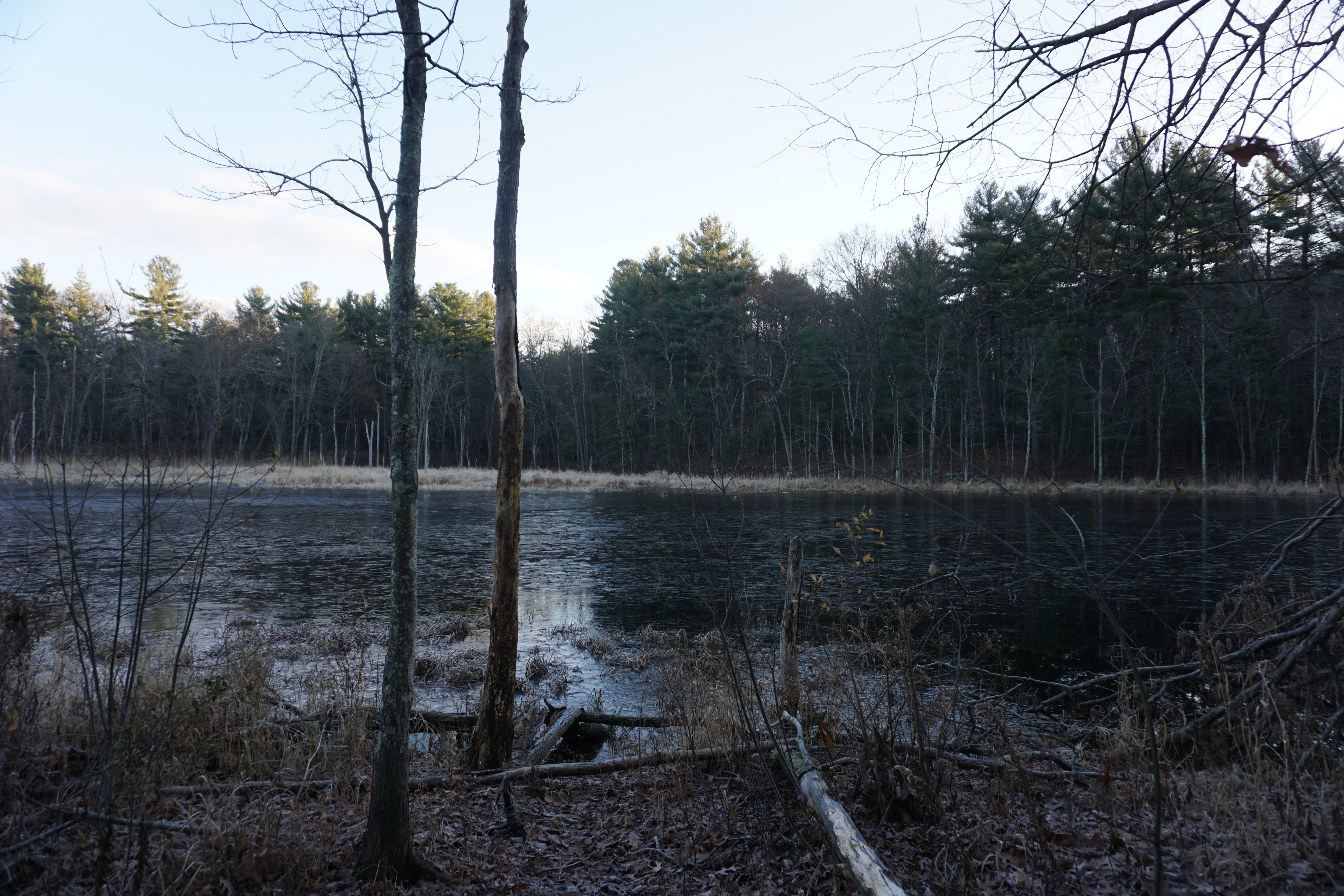
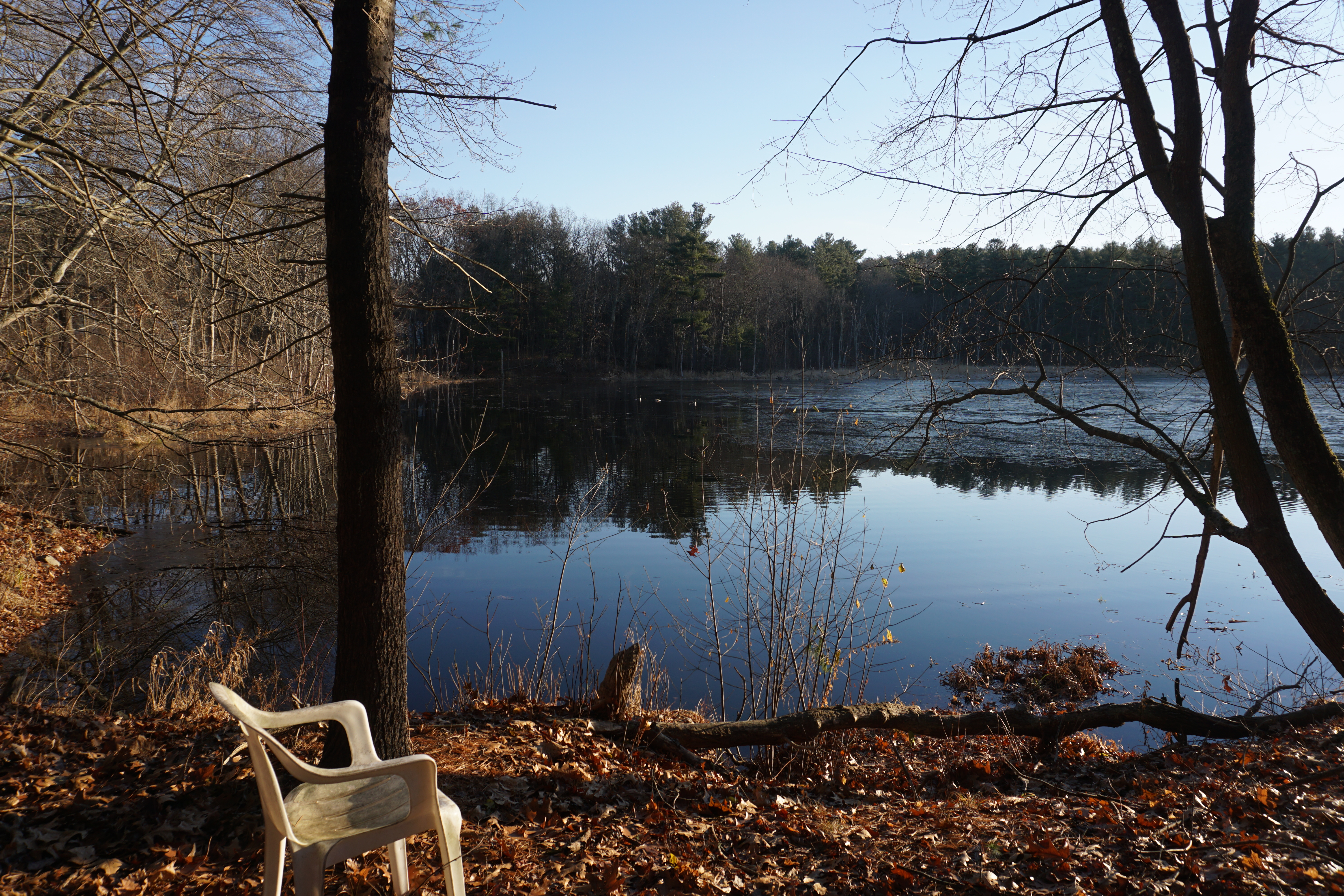
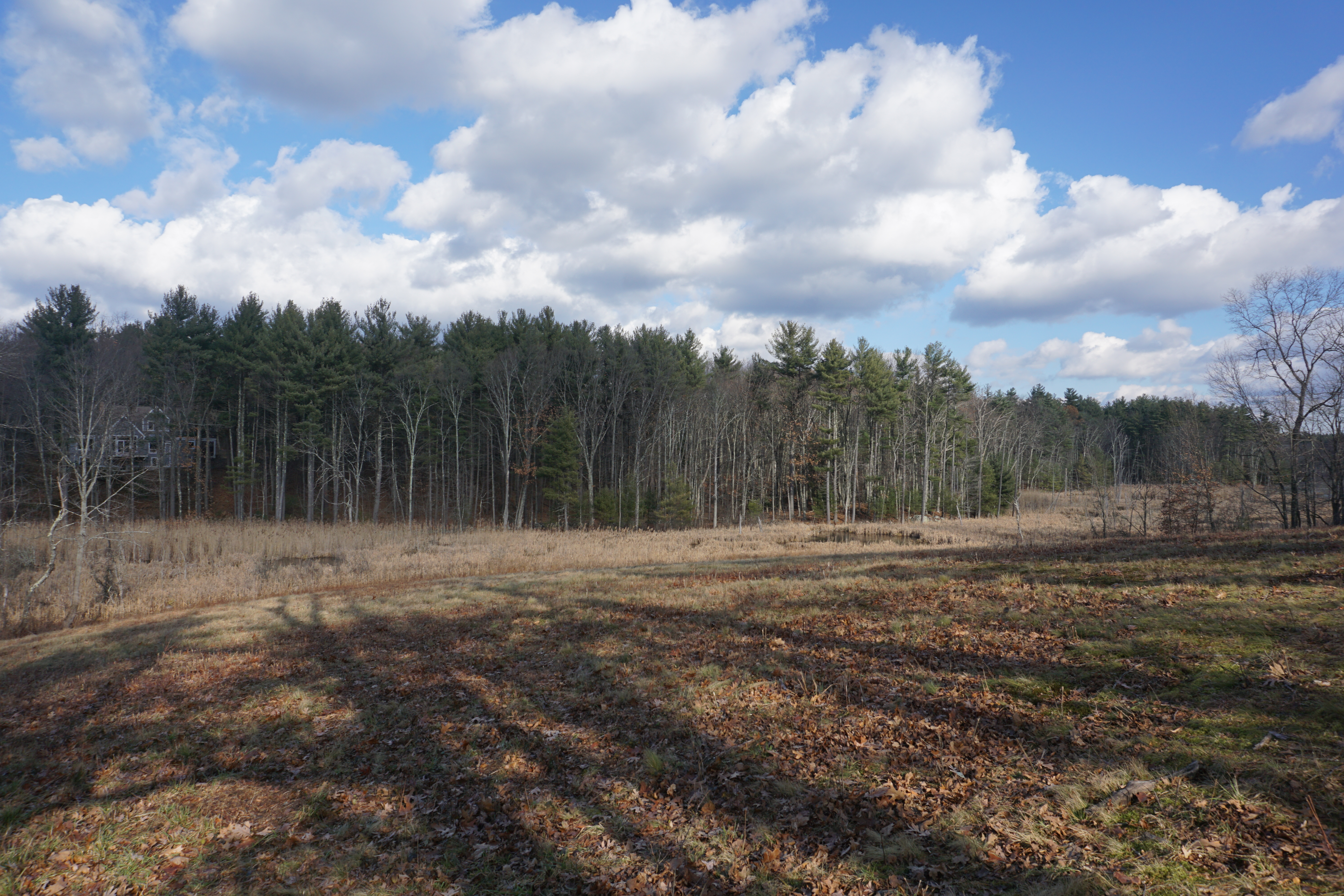
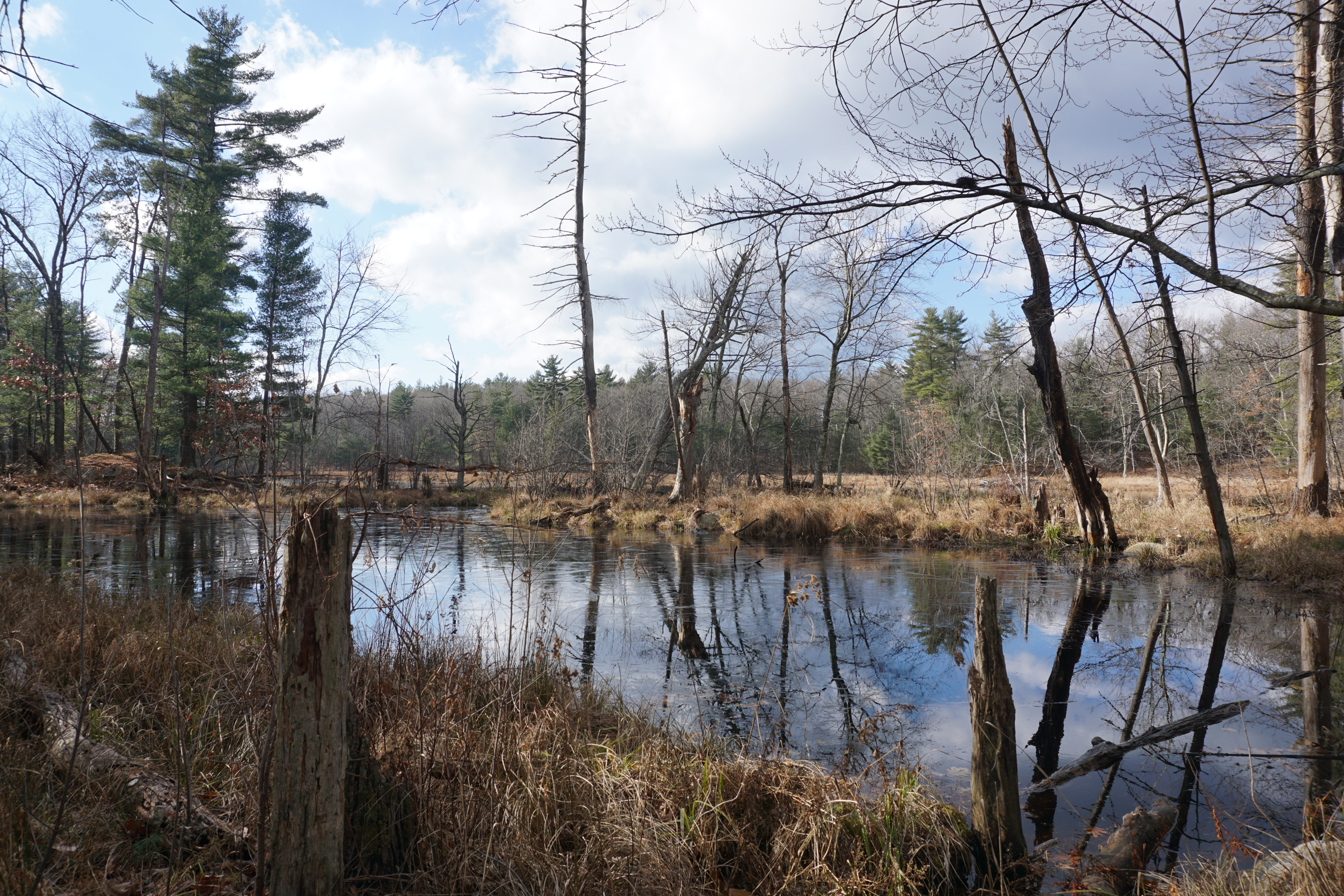
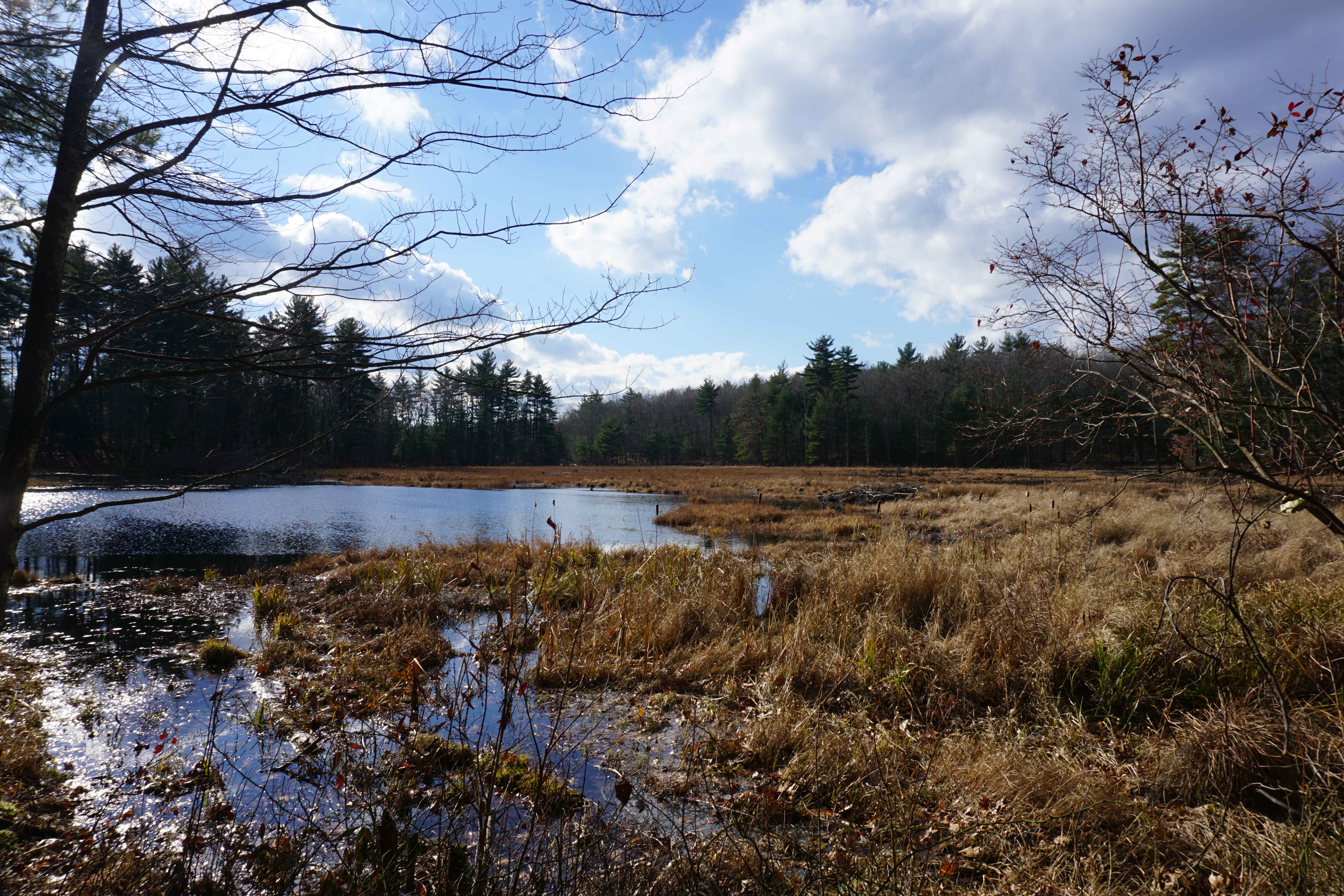
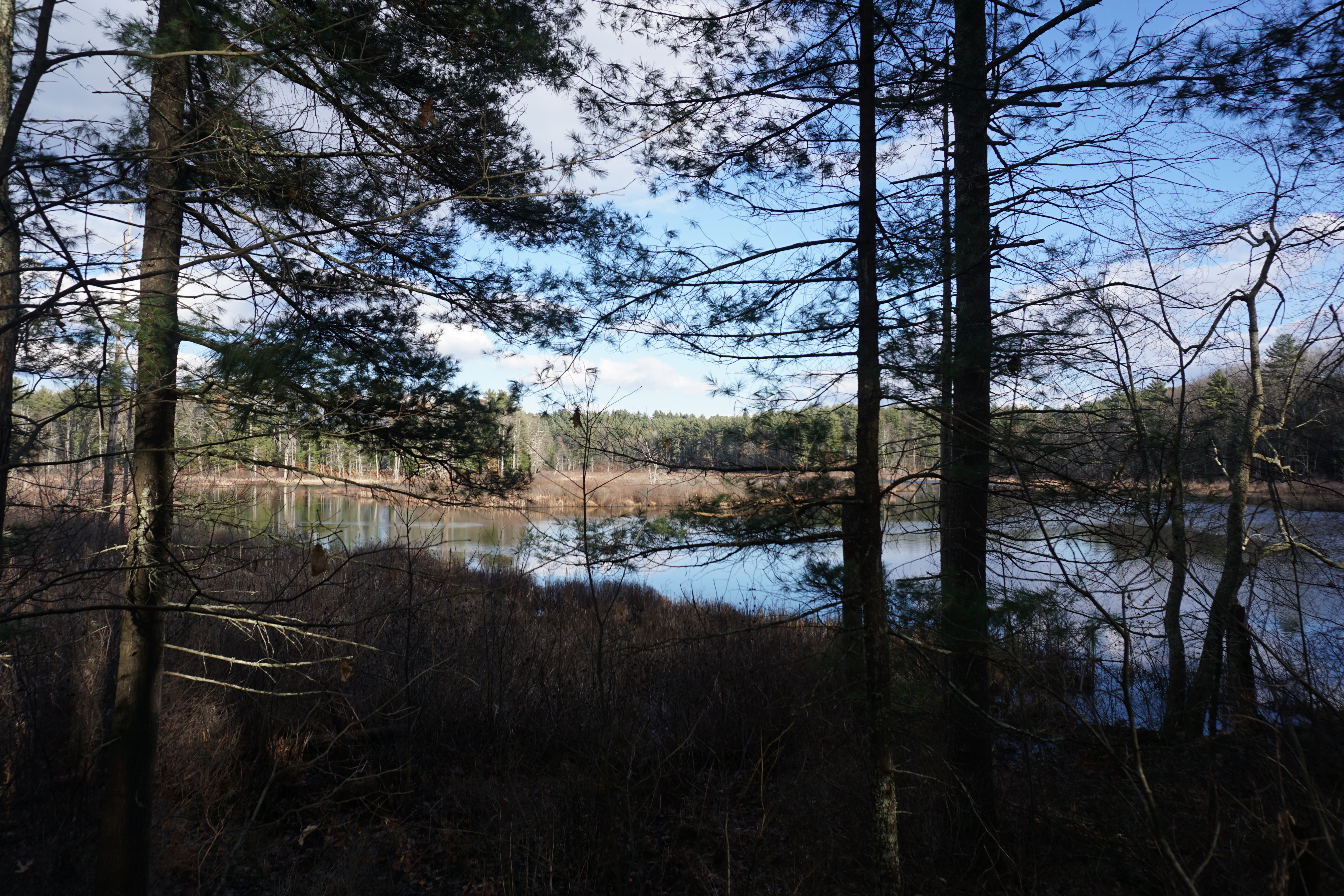
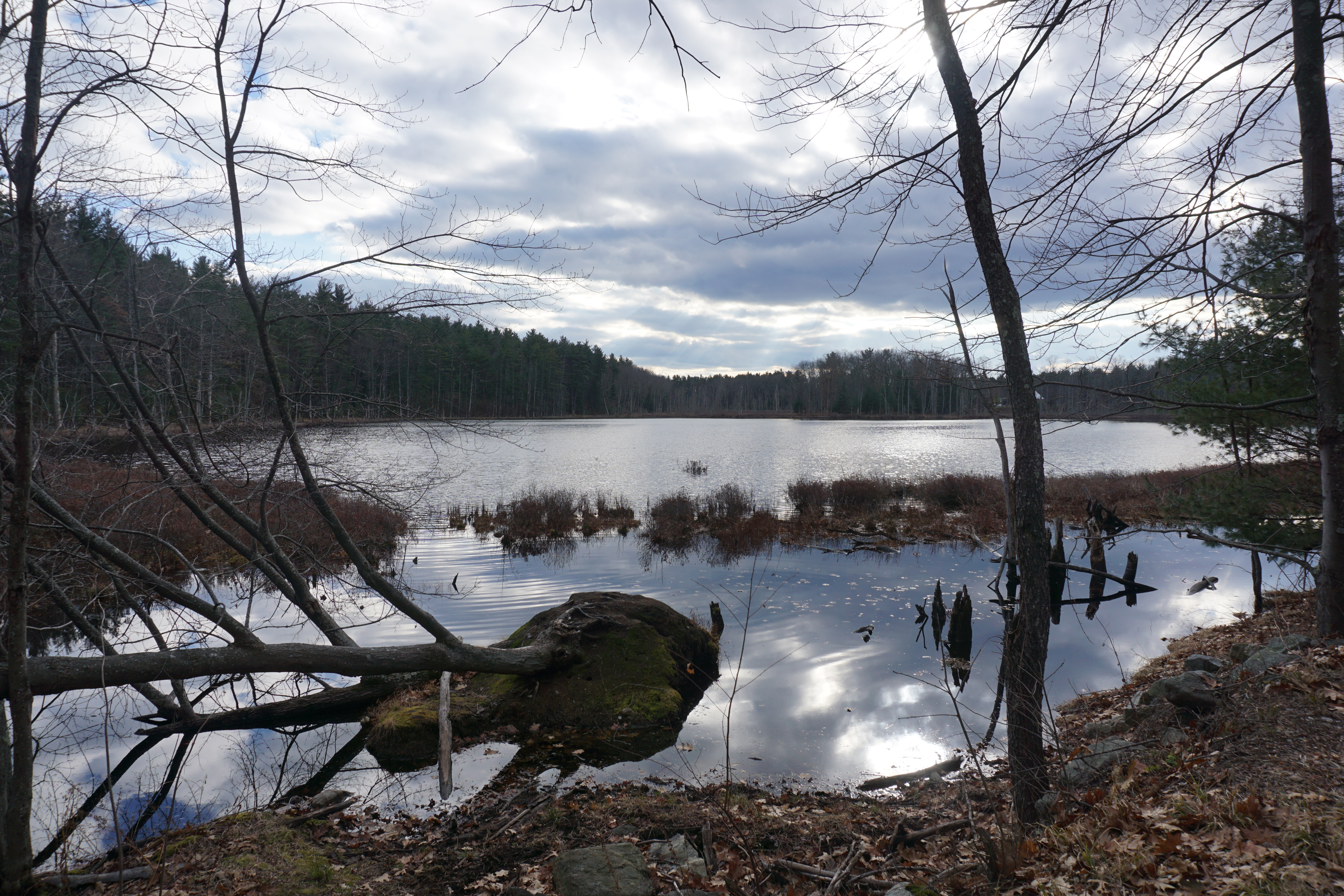
From here it was on to the town of Groton, for a short hike at the Talsey Conservation Restriction, where the path I took to get to the pond behind the residential area is shown below in pink.
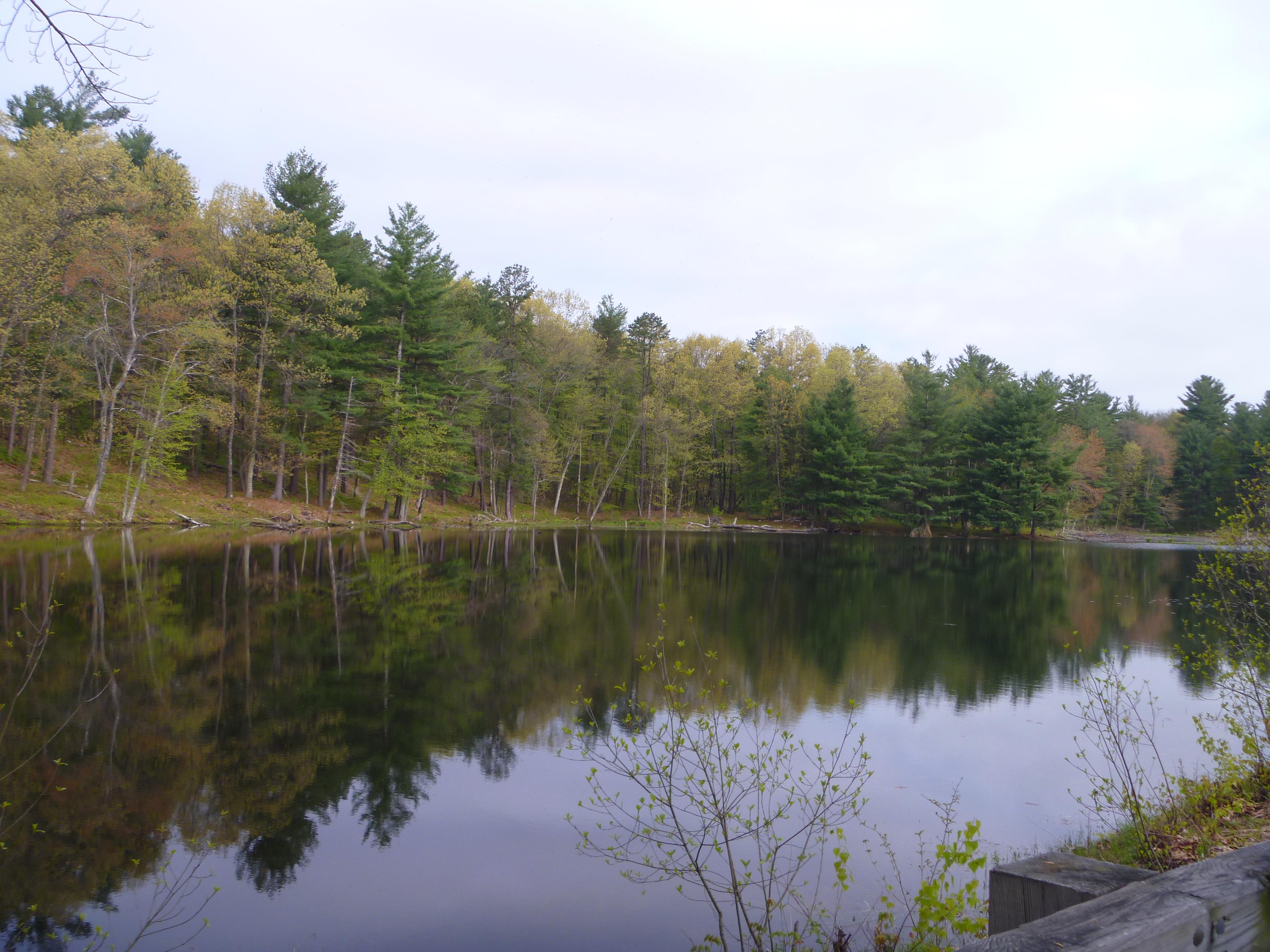
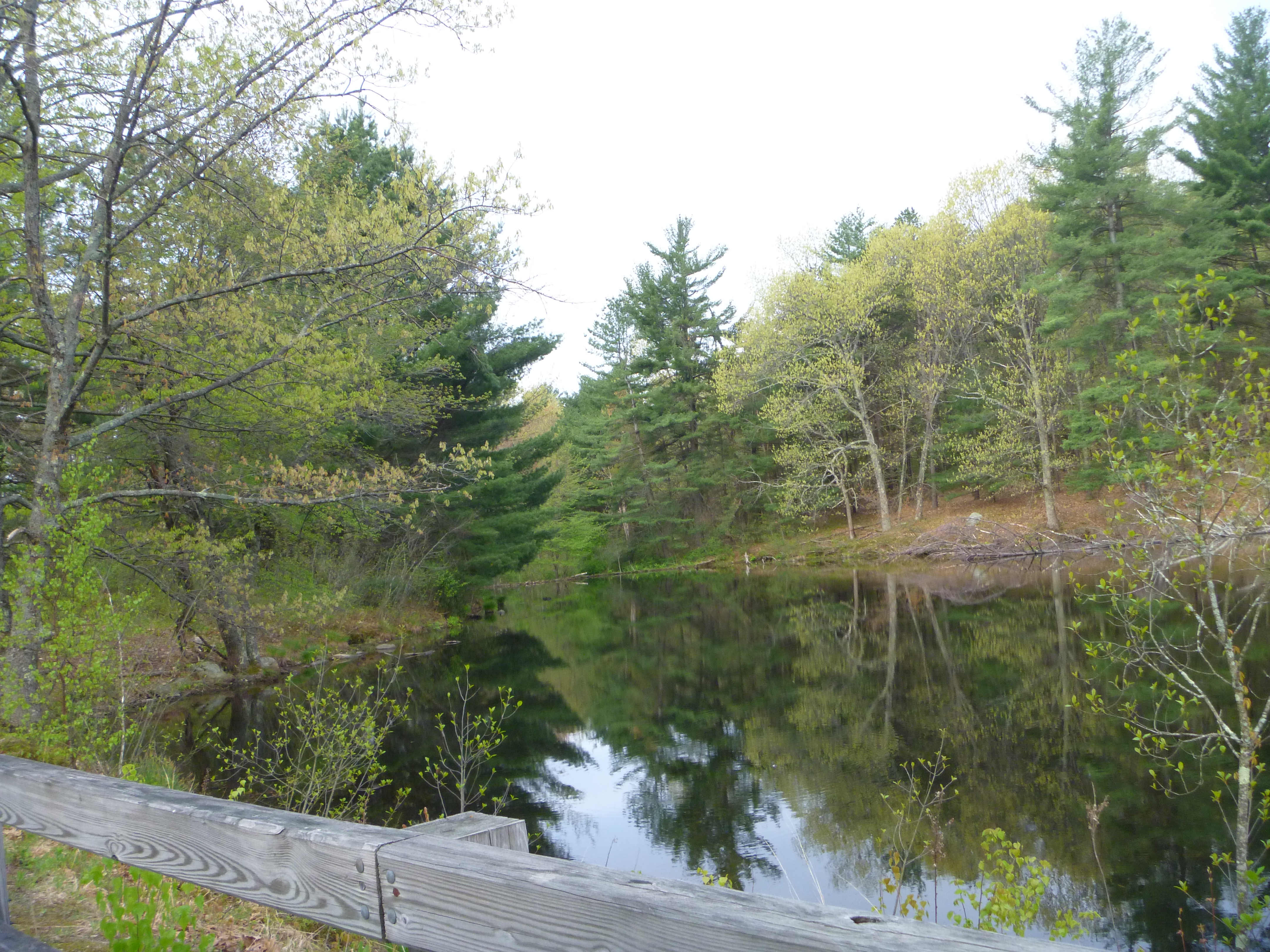
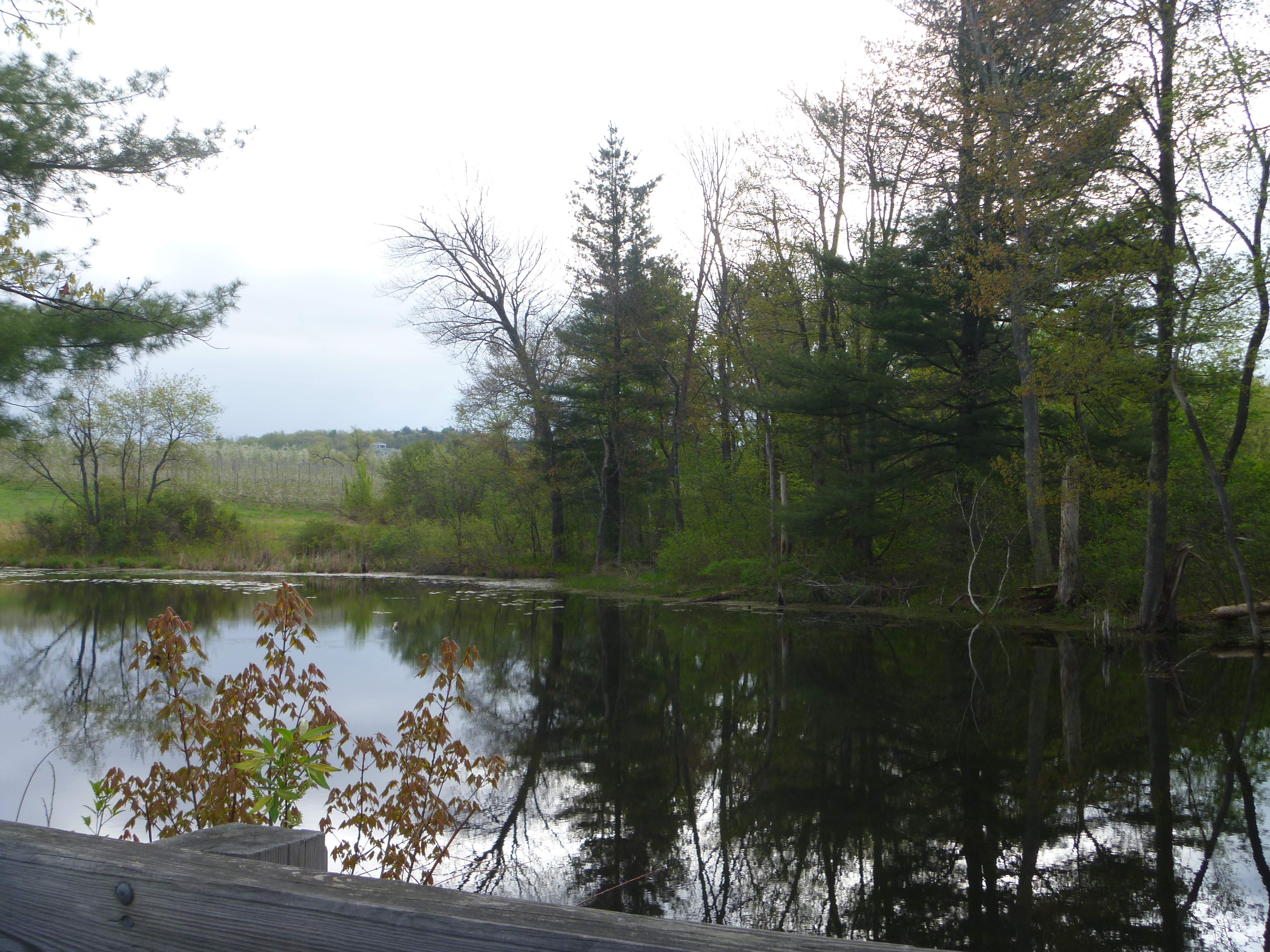
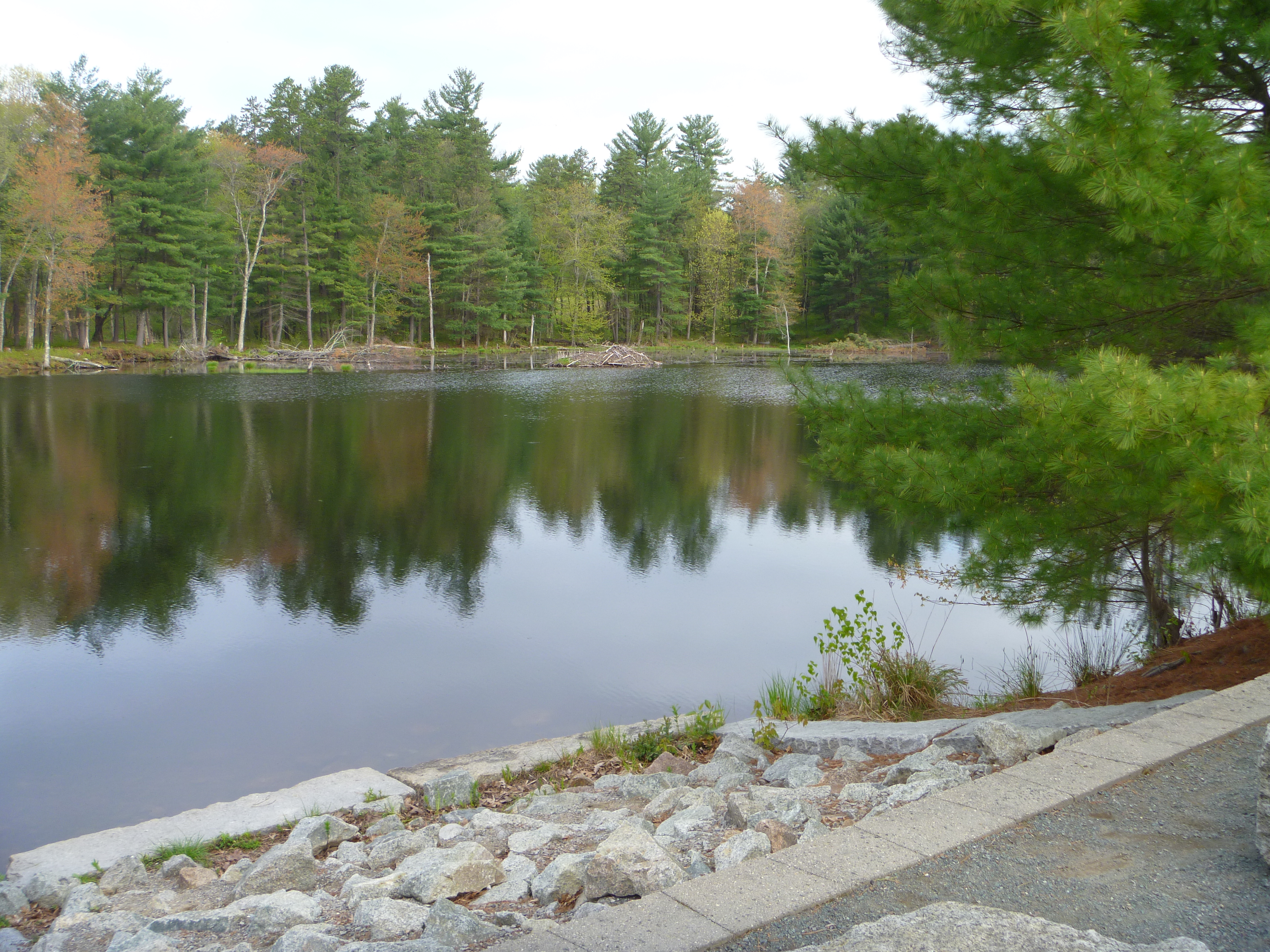
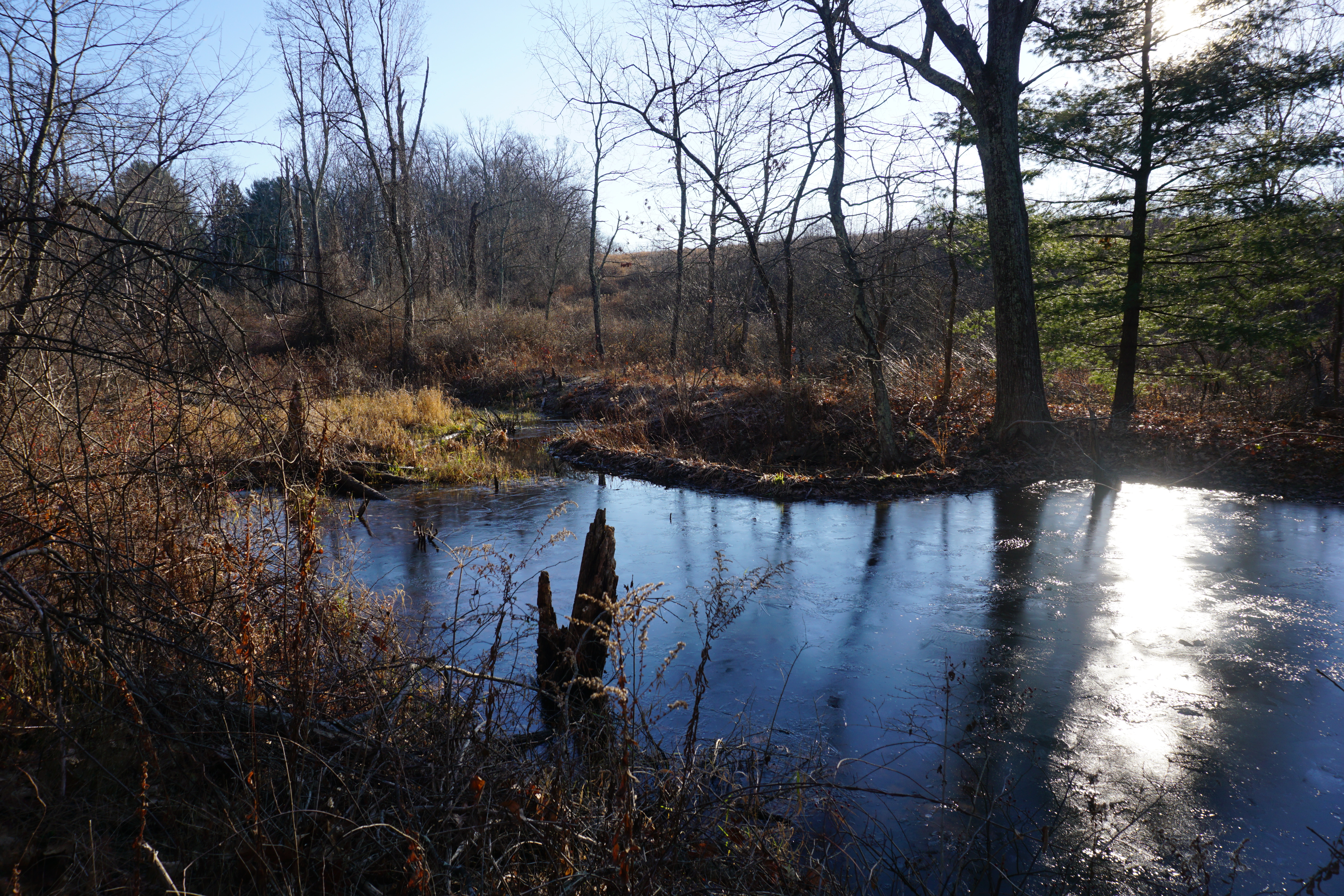
Beautiful view of the pond here, and really serene too.

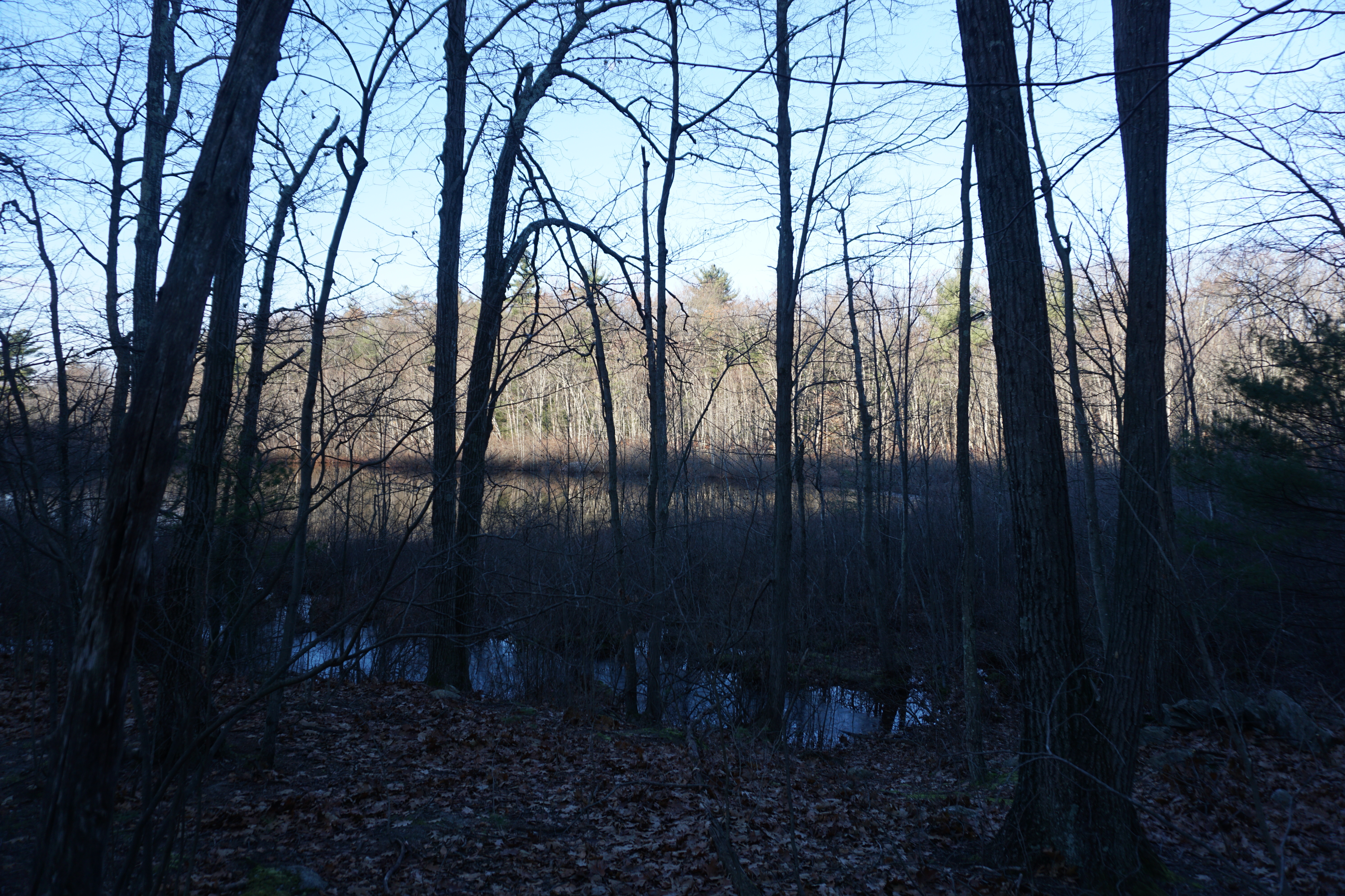
The next hike in town was at the Blackman Field and Woods, where the path I took here is shown below in pink.
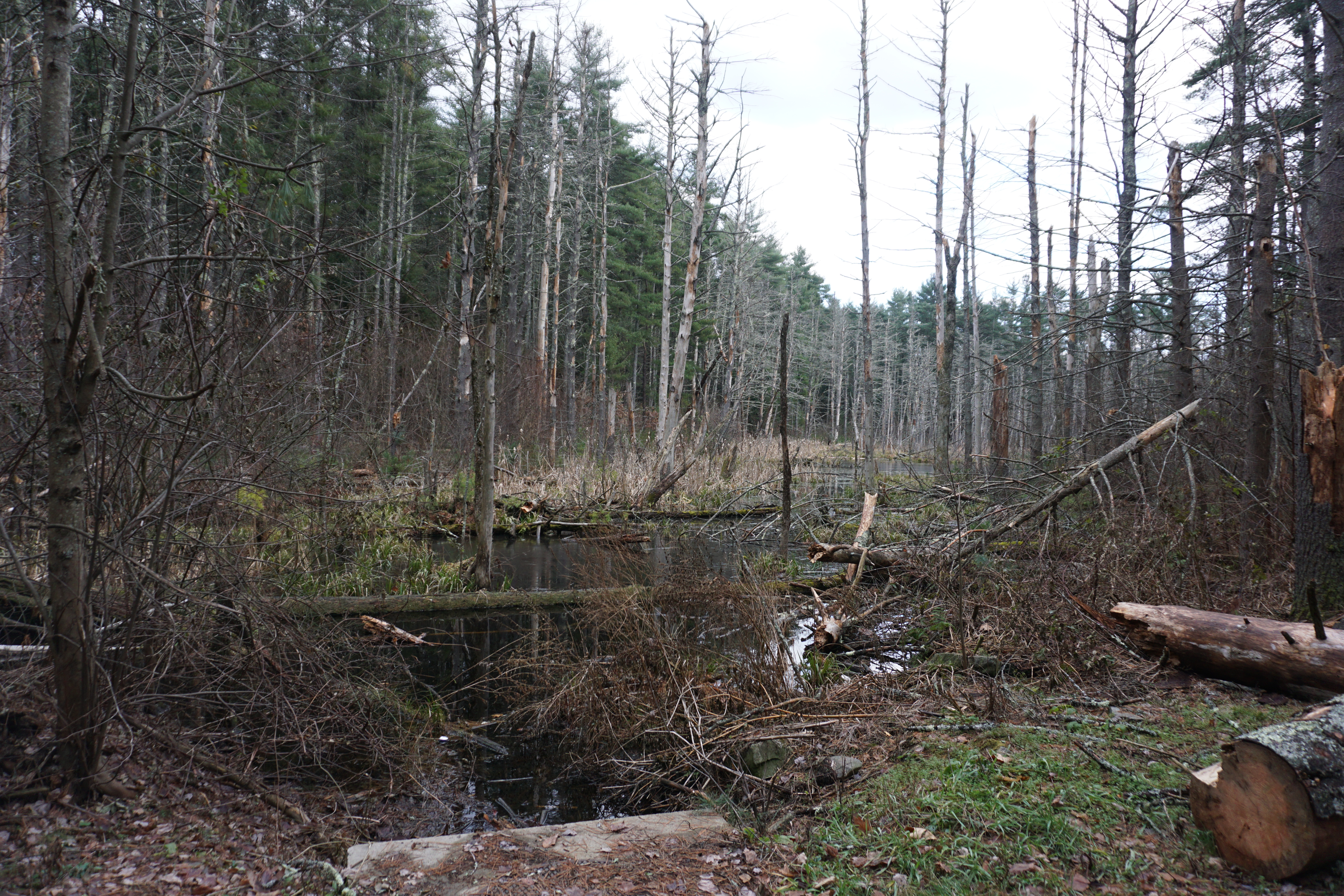
My initial attempt


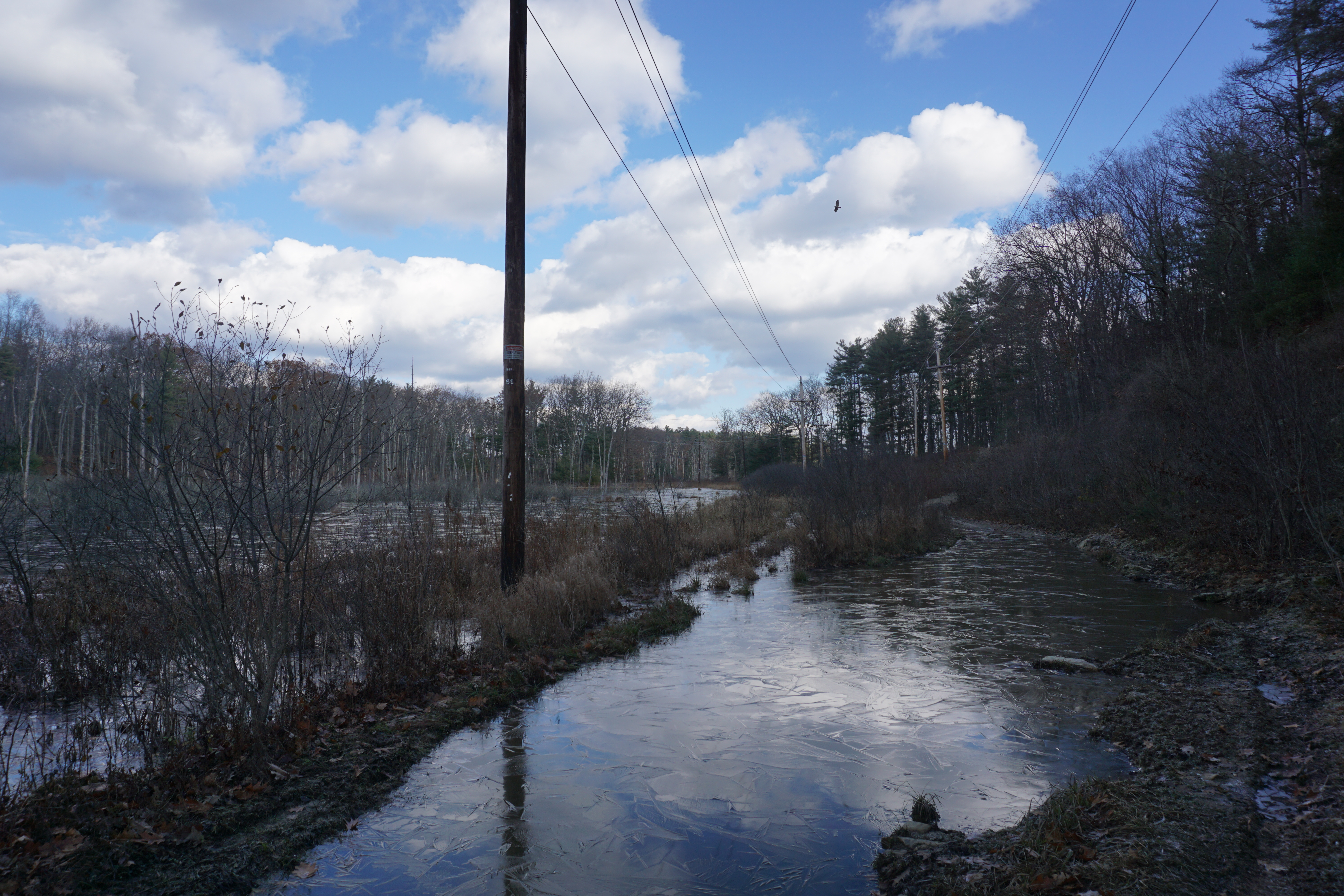
to reach the water body was foiled by flooding,
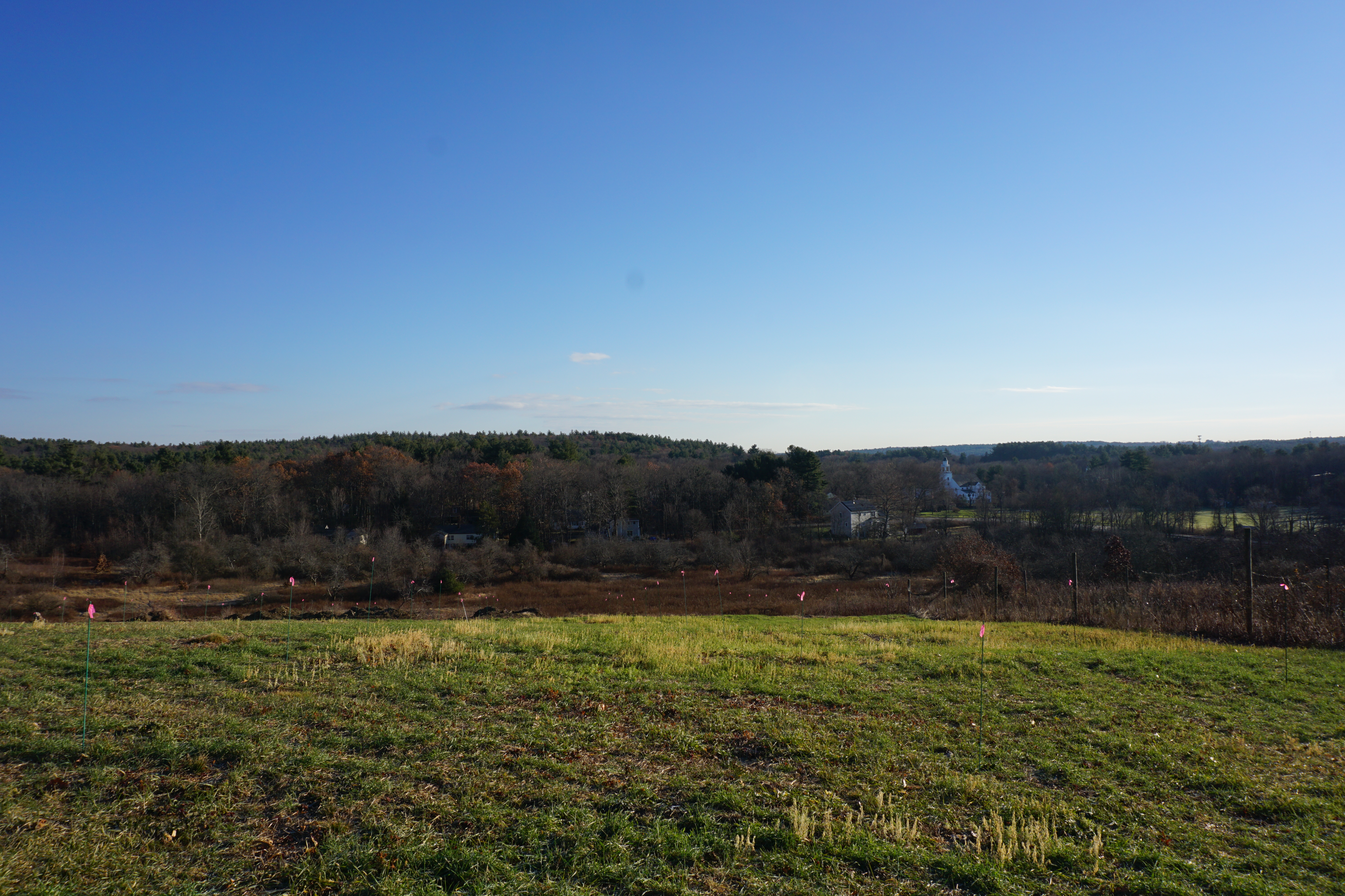
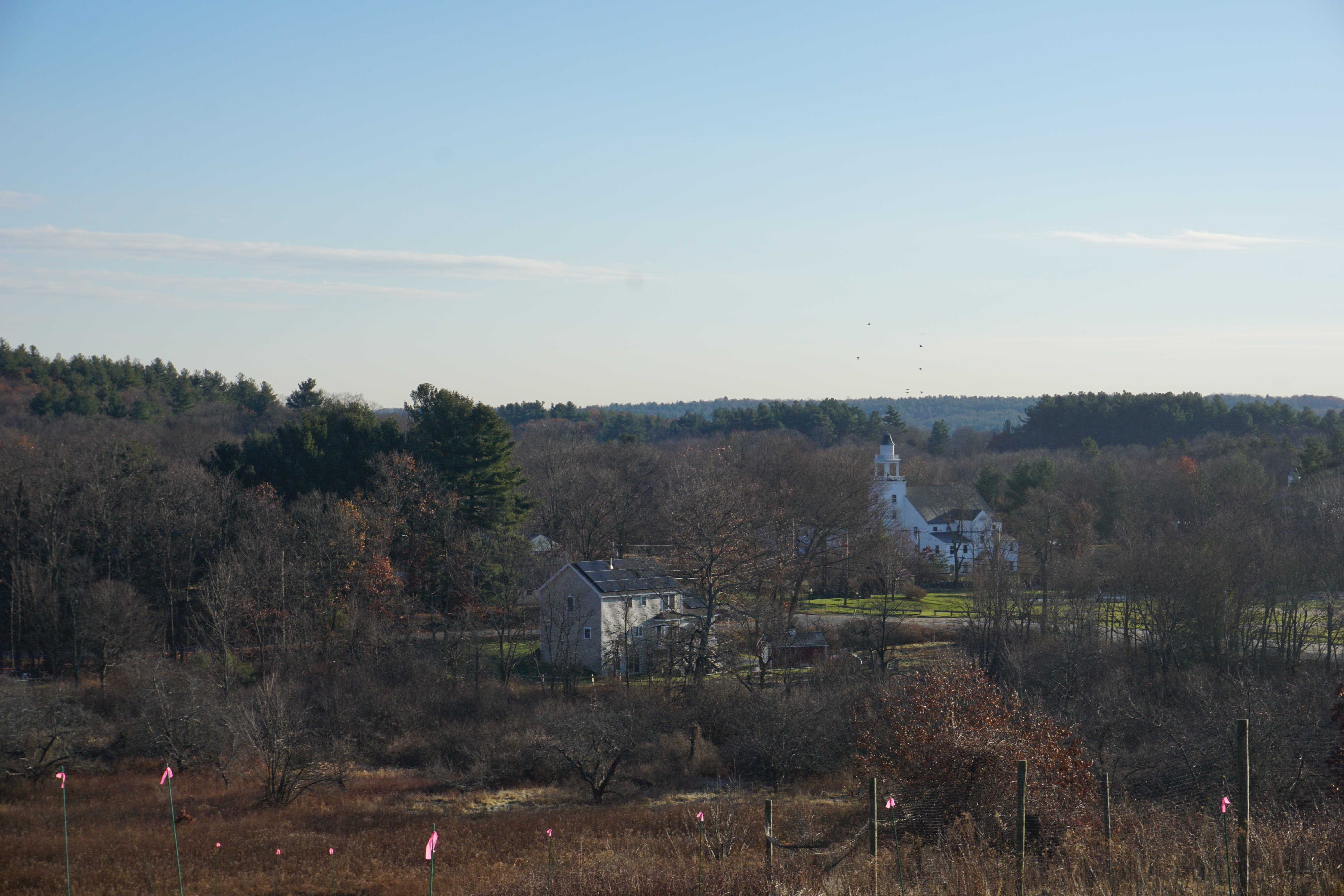
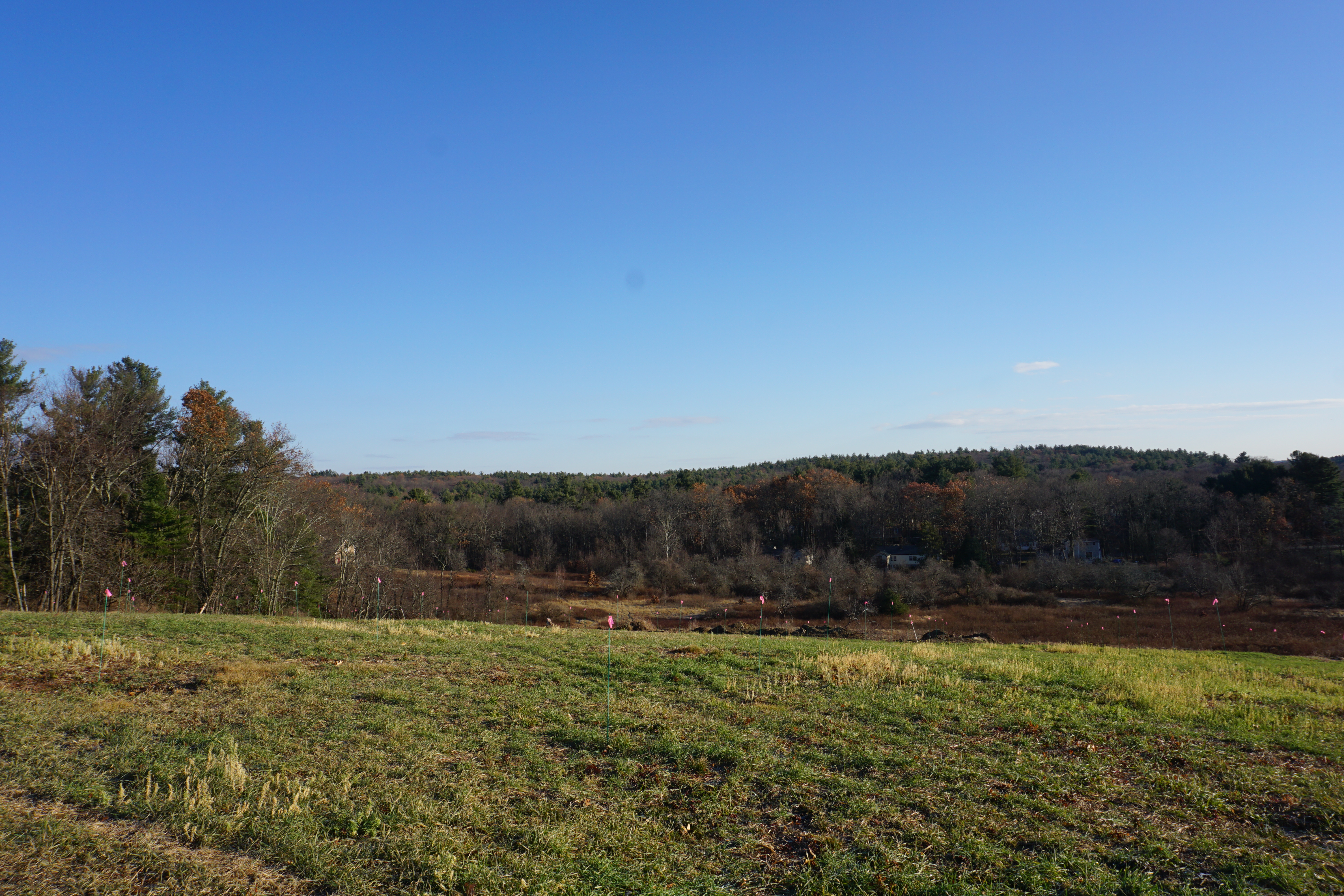
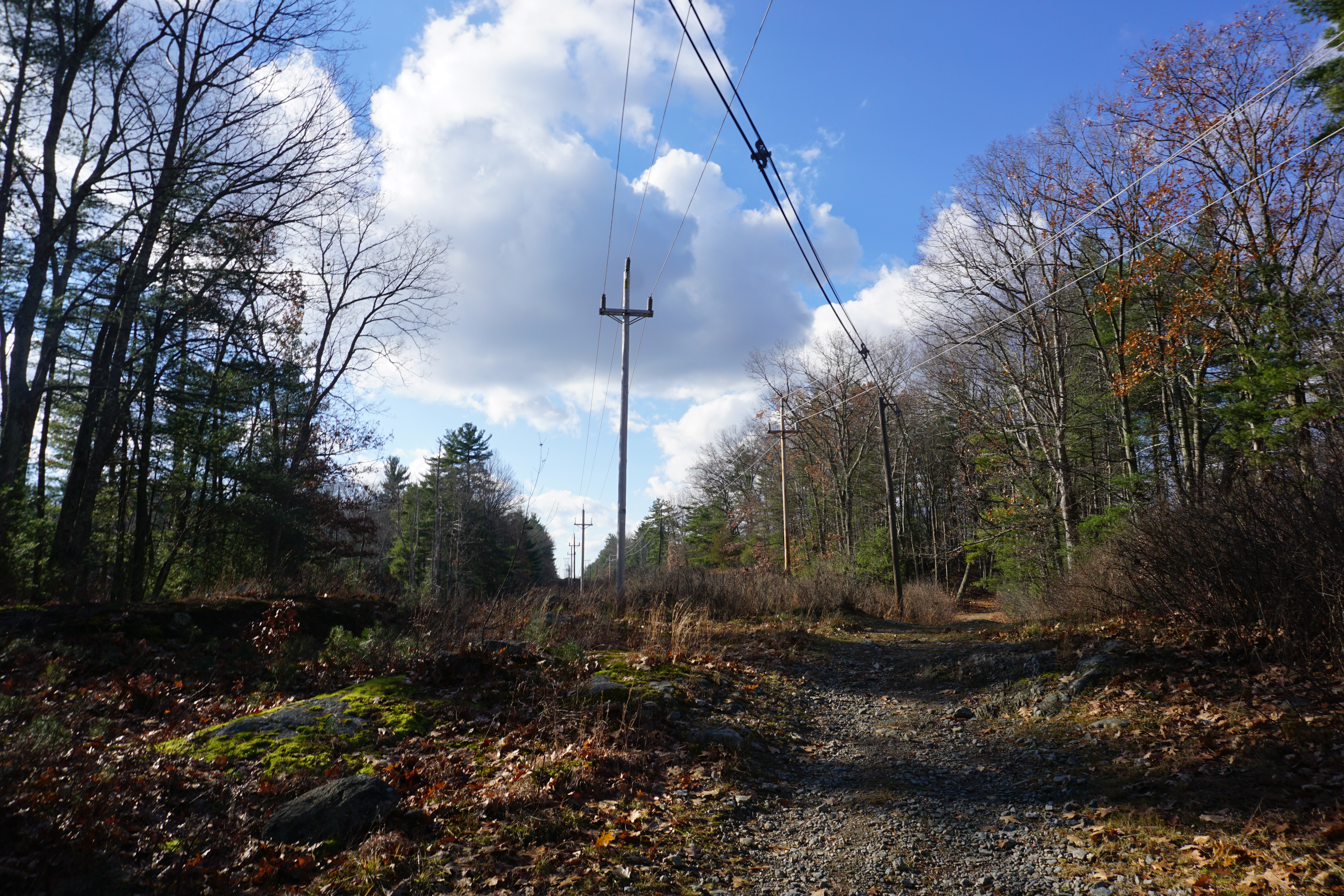
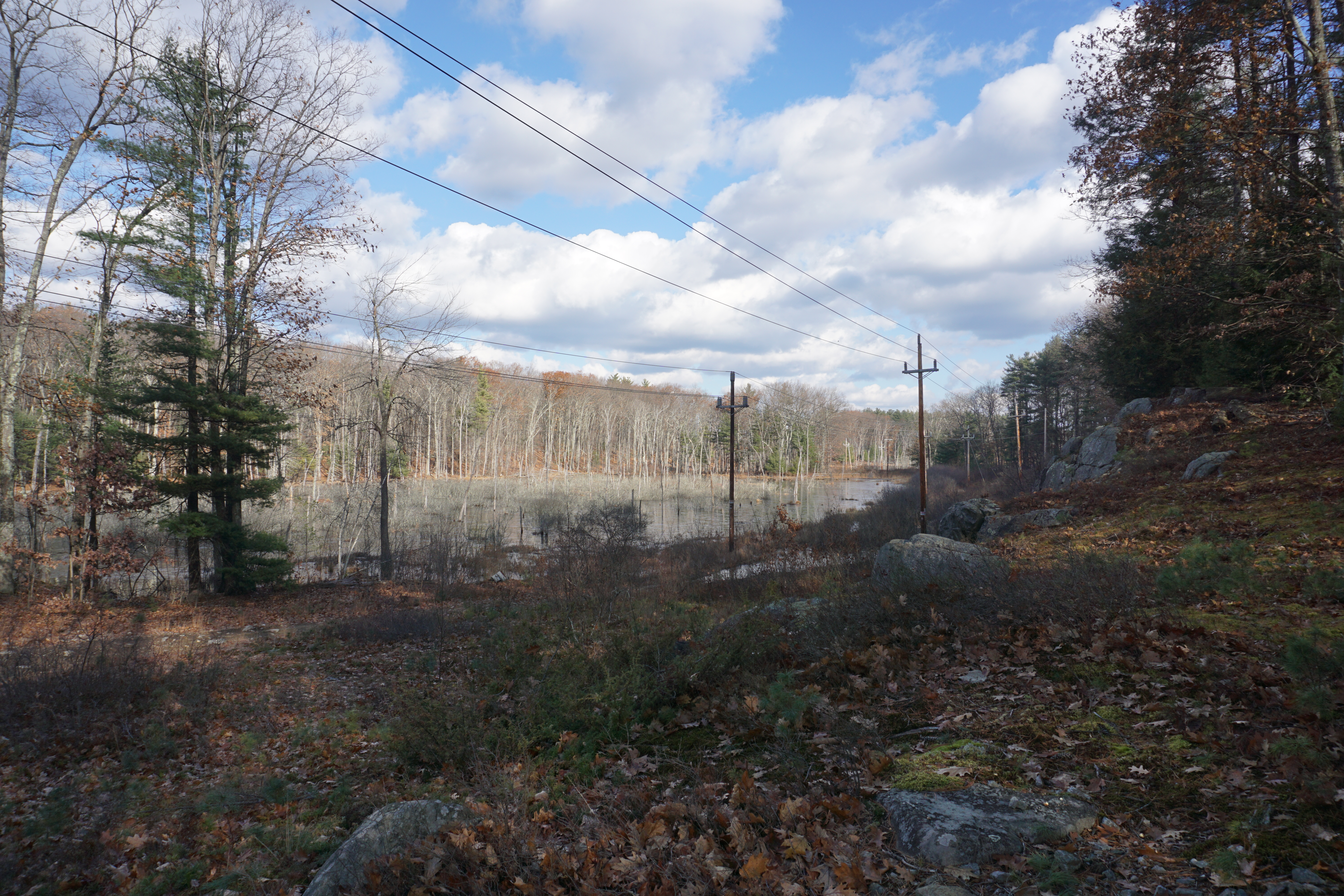
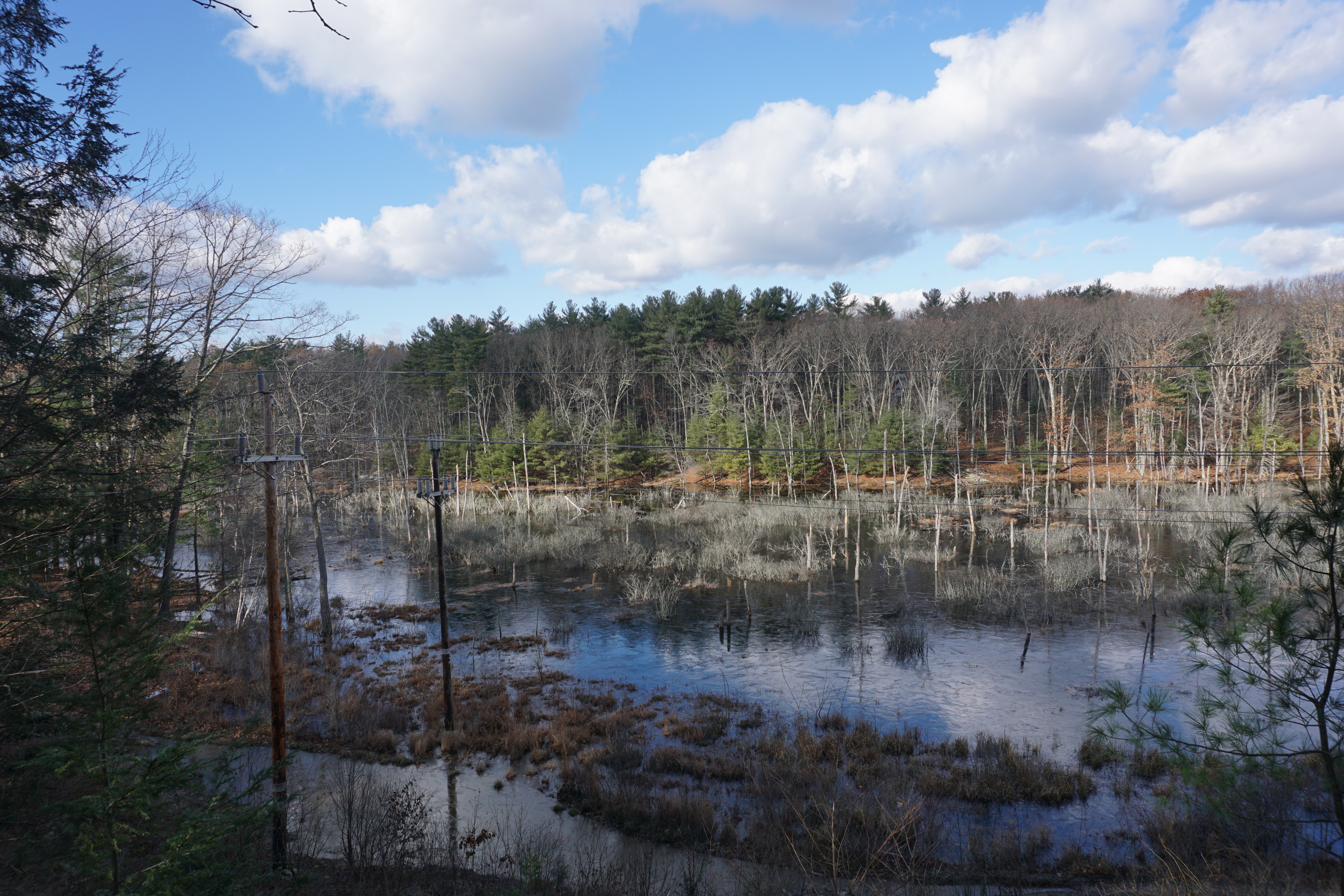
but it was a blessing in disguise as I tried going the other way, which was uphill, and brought me to an amazing view below at the power lines.
Glad I did not give up on this place.

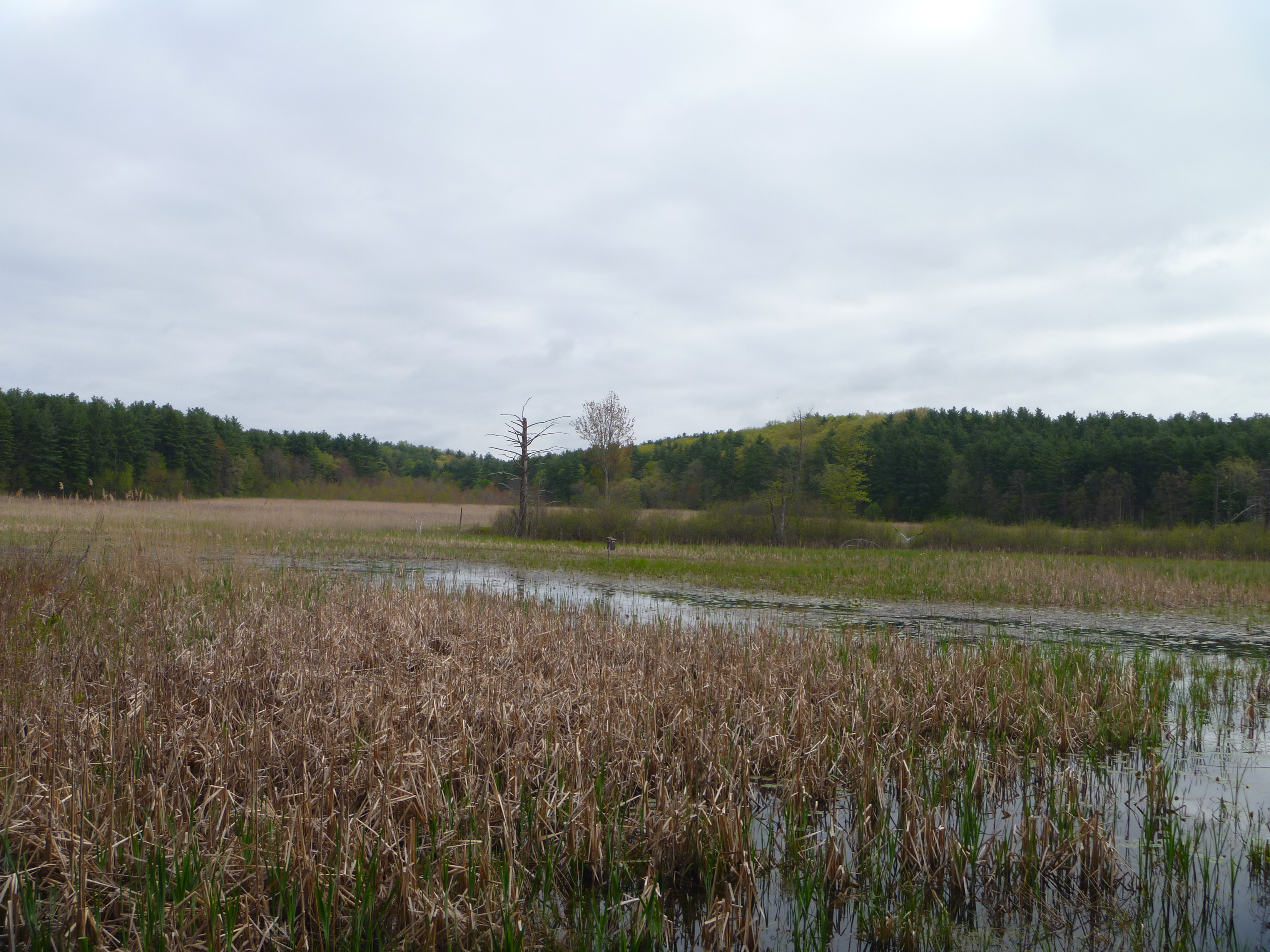
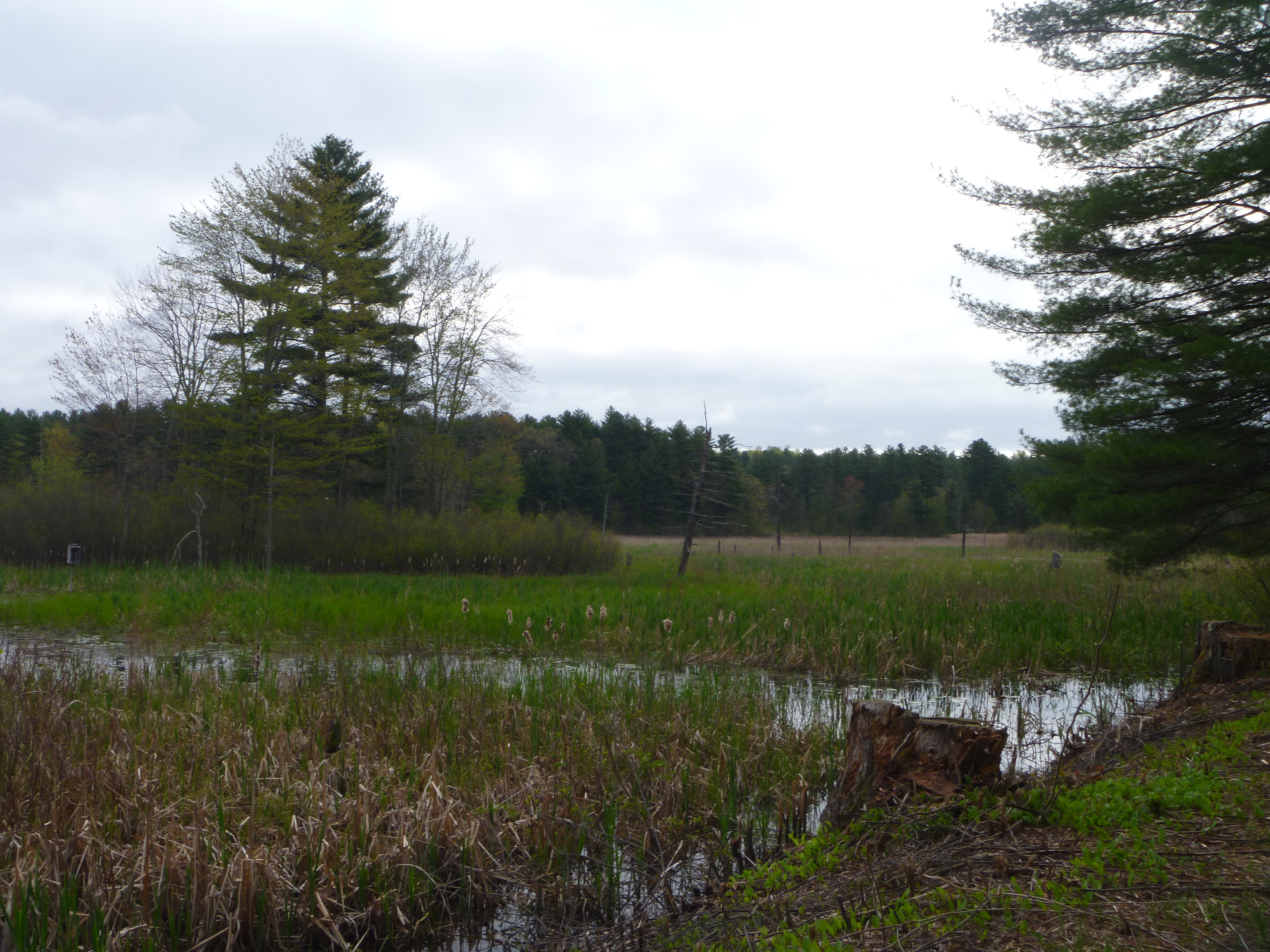
My final hike in Groton was at Mason Back 100, where the path I took here is shown below in pink.
Okay views of the marsh here, but nowhere as good as the two earlier places.

From here, passing by Tyngsborough,
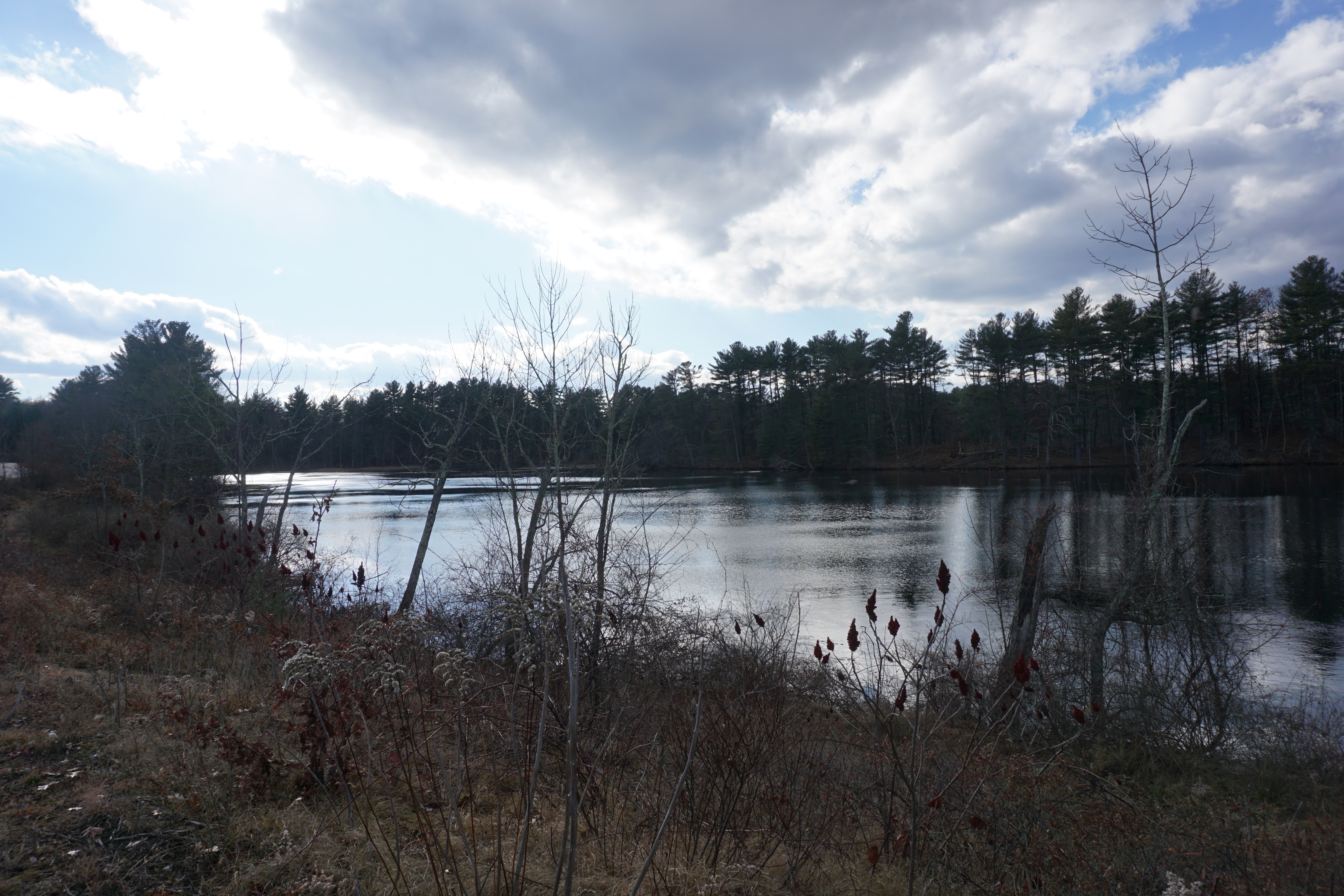
Cow Pond Brook Reservoir, 2 Wilson Way

it was on into Dunstable for my last hike in Massachusetts at the Spalding Proctor Reservation, where the path I took from Off Pond Street is shown below in pink.
According to the map, there was a path across the dam from Off Pond Street, and somehow I found it close to the private property closest to the dam, and was successful in making my way there.

It was an easy walk to the campsite area and back, although the path was right by the water at times.
Decent views of the water,

although not much at the campsite itself.
Making my way back to the car, it was finally time to head into Nashua NH, where the first spot I visited was Lovewell Pond, which I had to hike to from 11 Ridge Road. The short walk I took is shown below in pink.
Nice views of the pond for a short walk.
The next hike I went on was at the Yudicky Farm area, where the paths I took to get to the water bodies are shown below in pink.
The paths were not really defined, but somehow I managed to make my way to the beaver dam, which wasn't really much to look at.
I made my way back using the road, then went to the Tanglewood Drive area to check out the other water body. Nothing much here either.
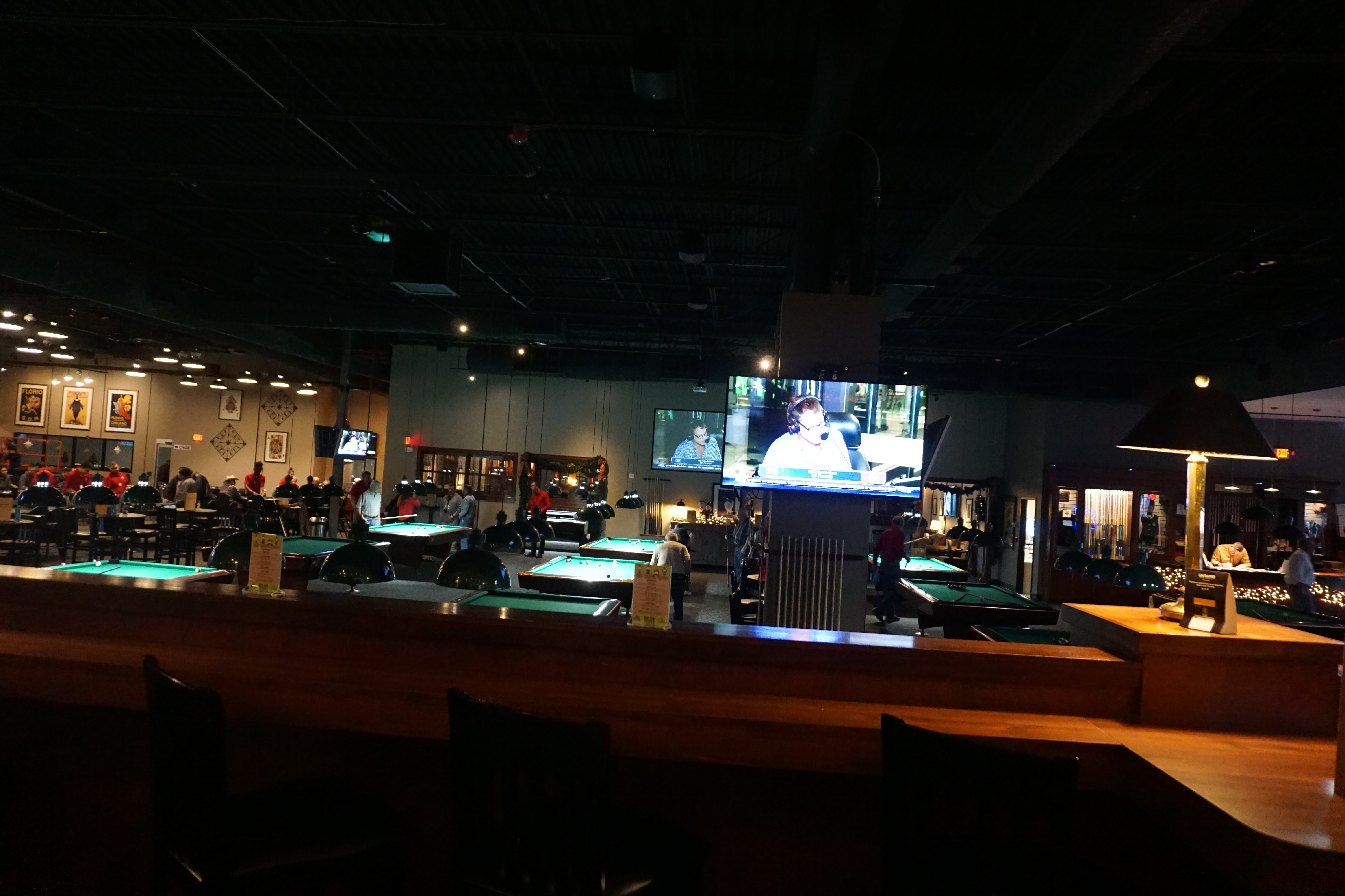
At this point, I was feeling really hungry, so I decided to stop by the Boston Billiard Club and Casino in town,
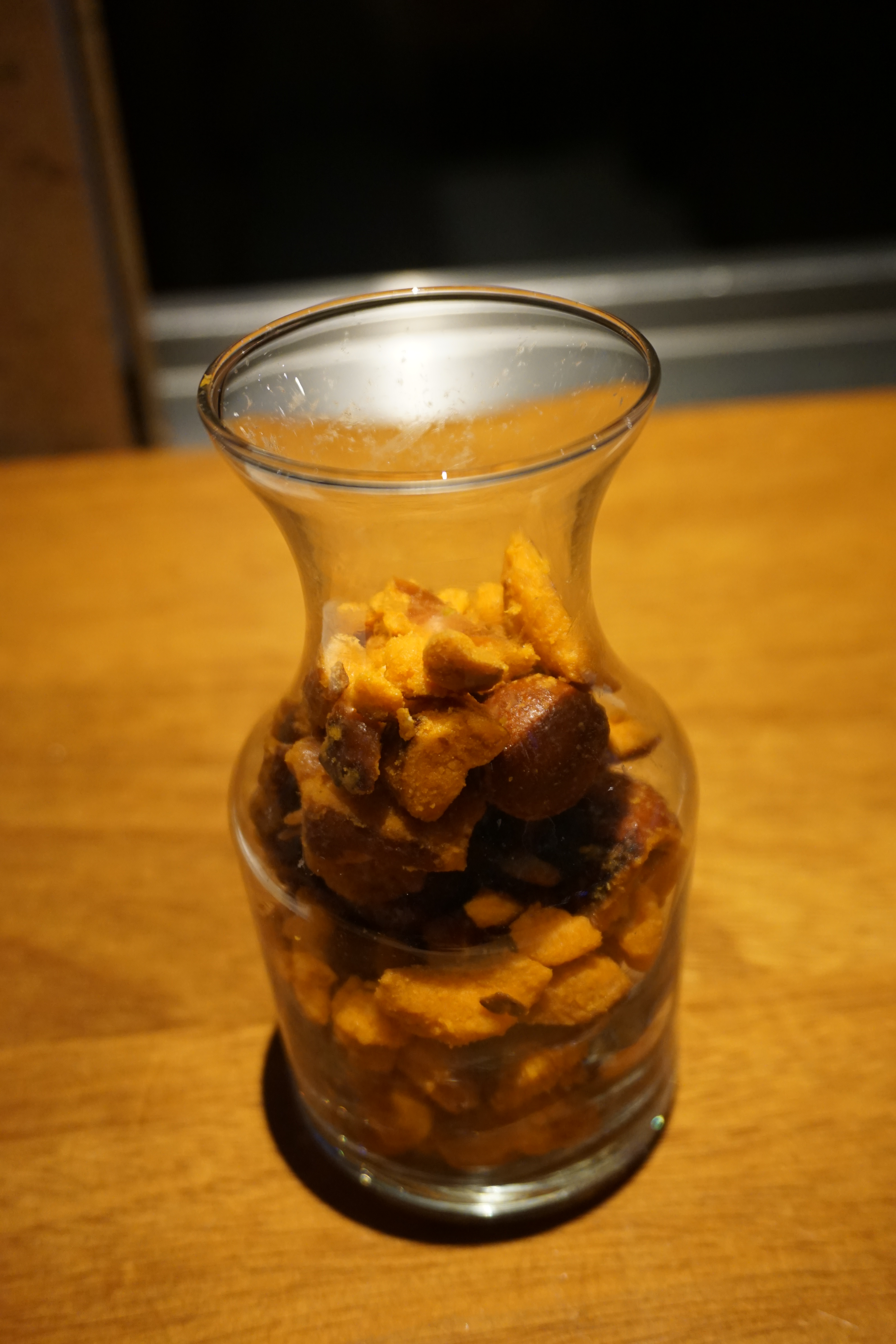
which also has a bar area with eats, including complimentary buffalo pretzels.

I got the Pulled Pork Burger (served on a brioche bun with jalapenos, melted cheddar and onion strings),
which was pretty delicious, considering I was extremely hungry, although the spicy jalapenos were a bit much at times.

After my meal, I visited several other places in town
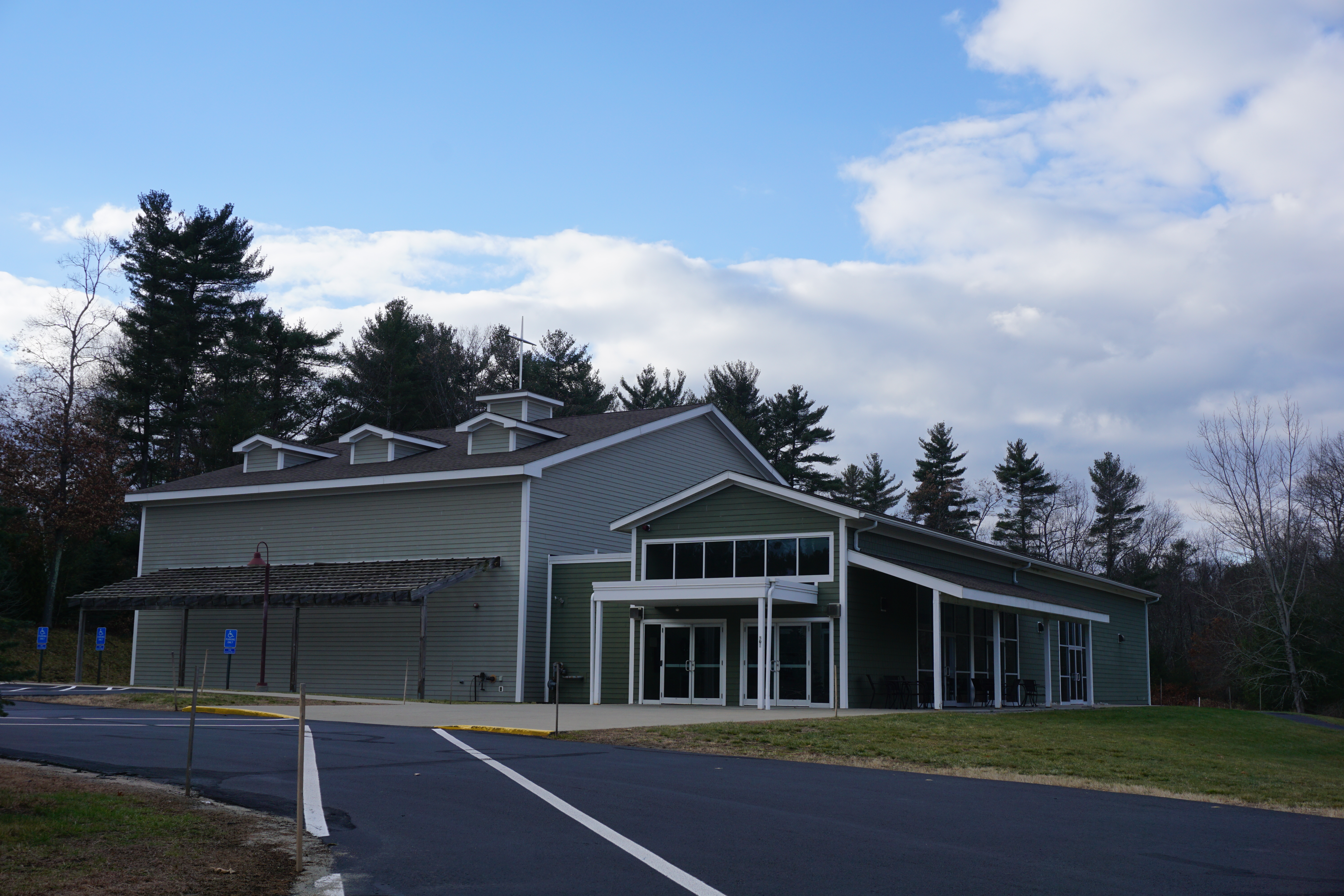
Crossway Christian Church
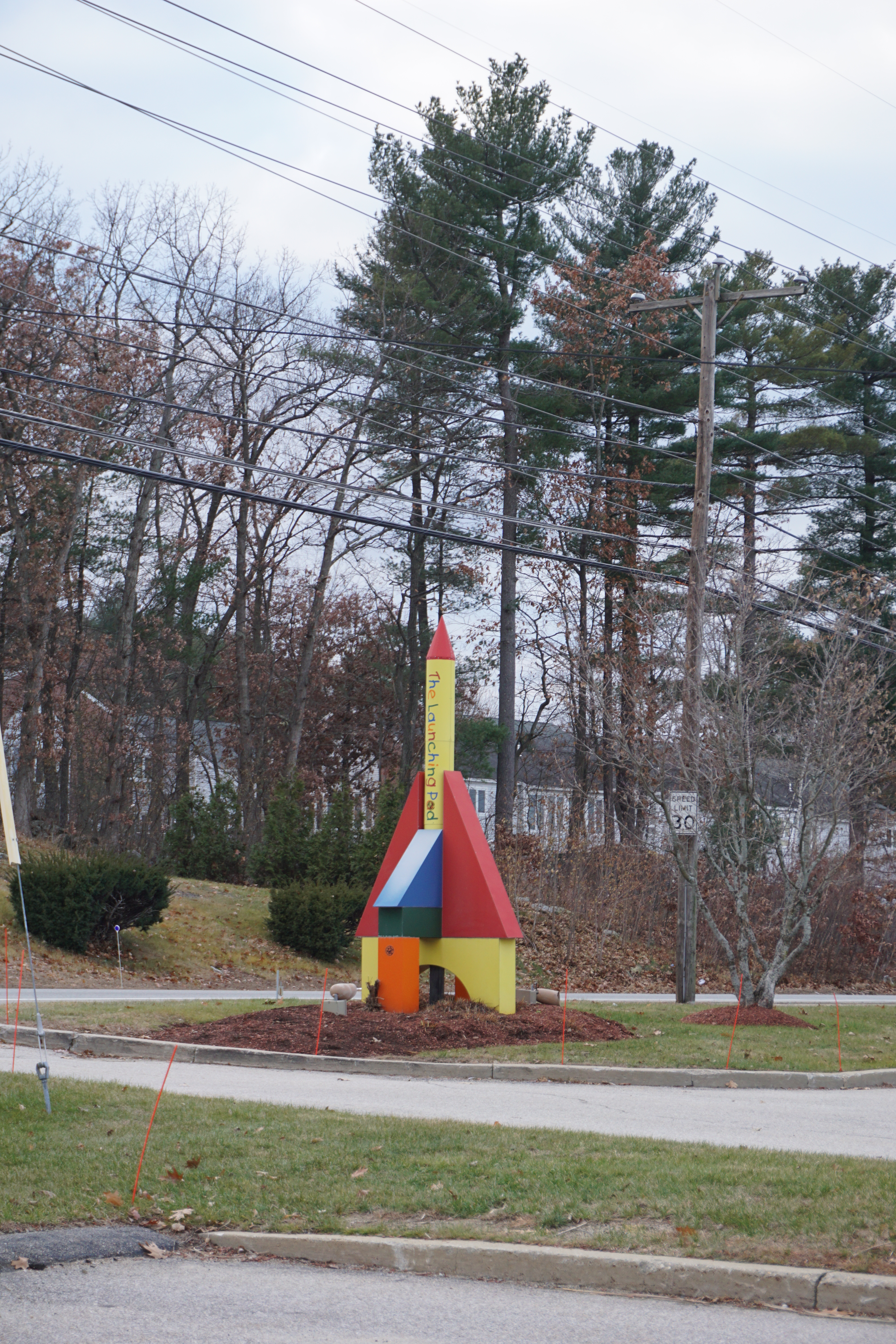
The Launching Pad
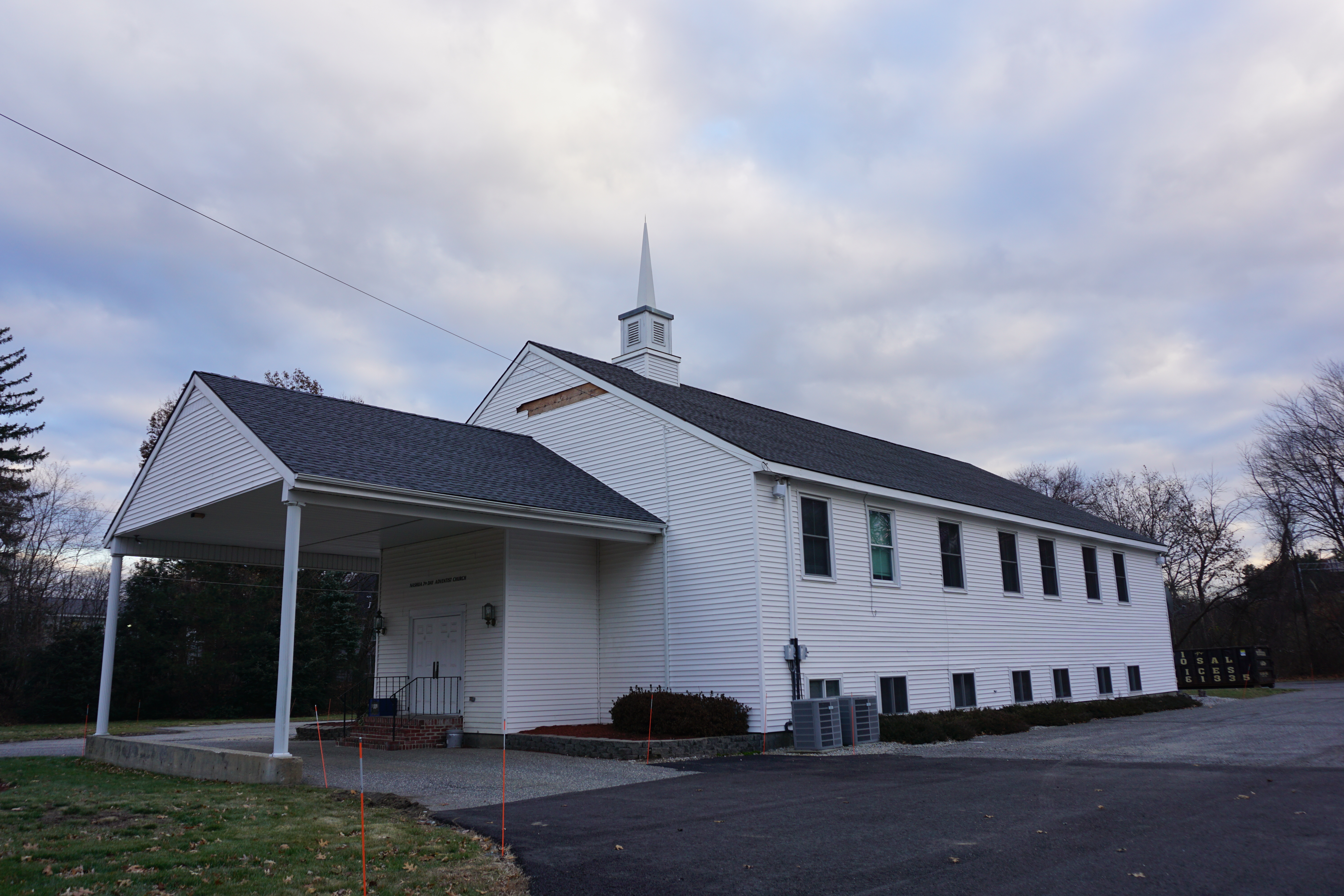
Seventh Day Adventist Church
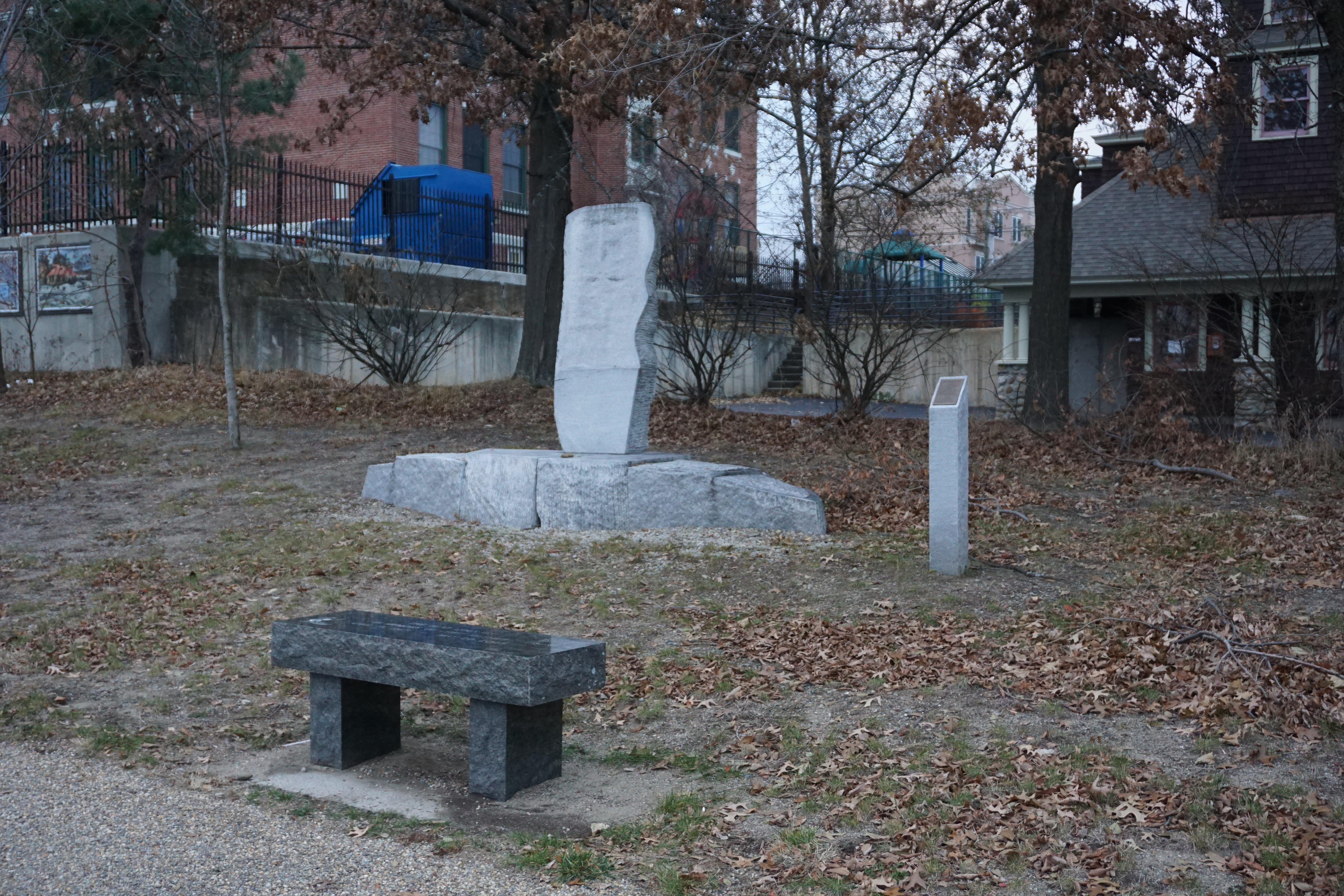
Holocaust Memorial
Whitney Professional Building, 1 Prospect Street
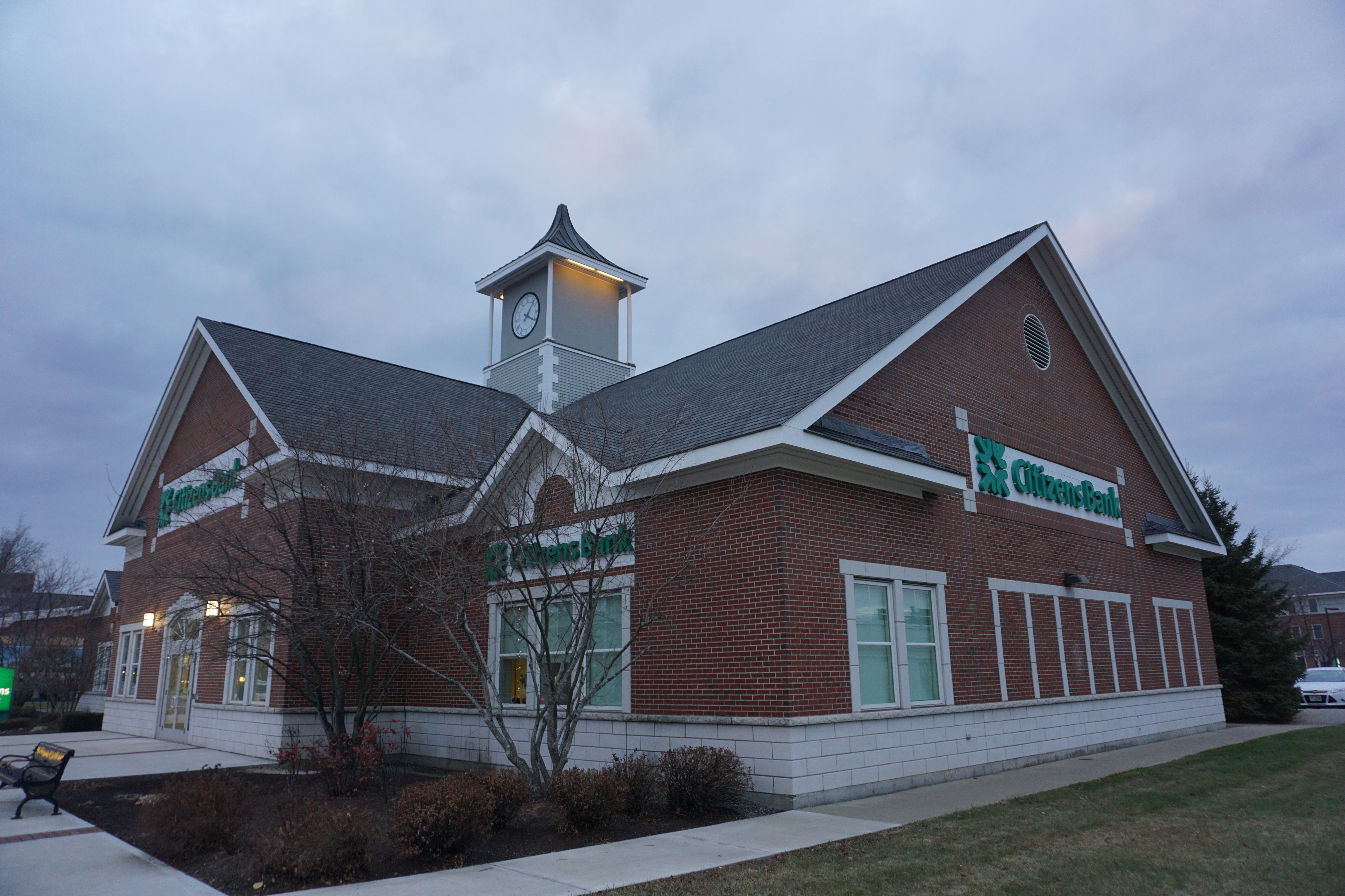
Citizens Bank, 238 Main Street
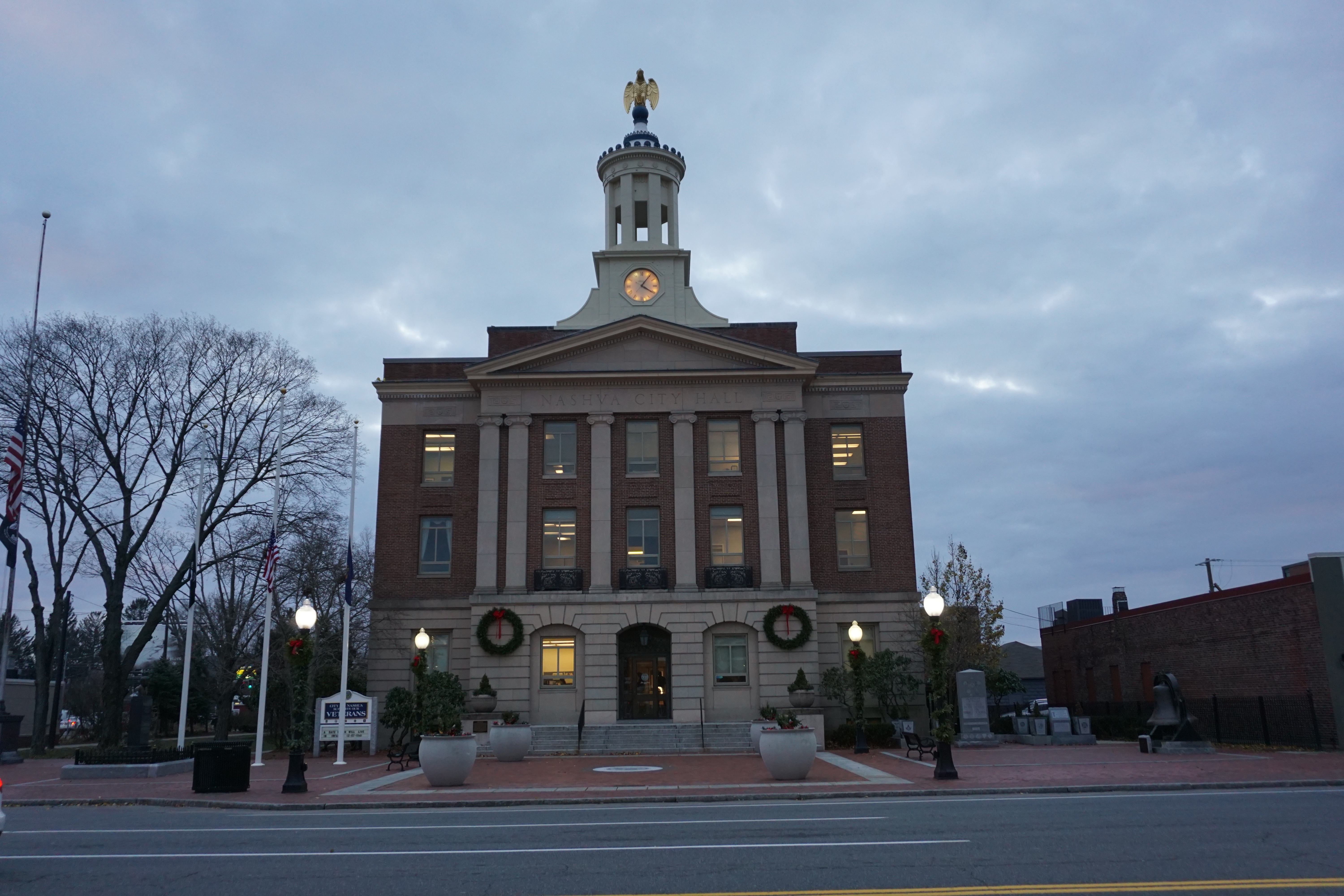
City Hall, 229 Main Street
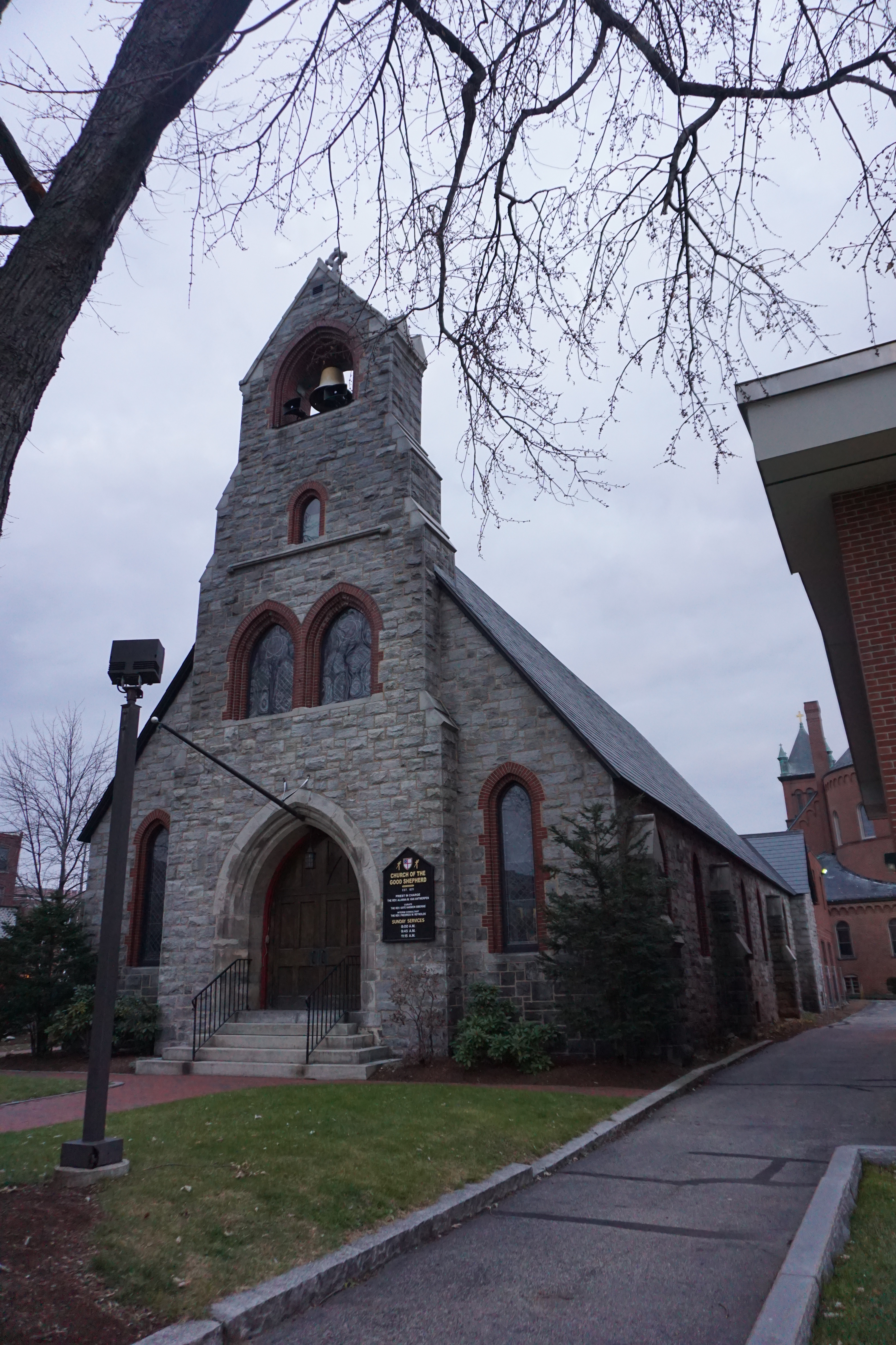
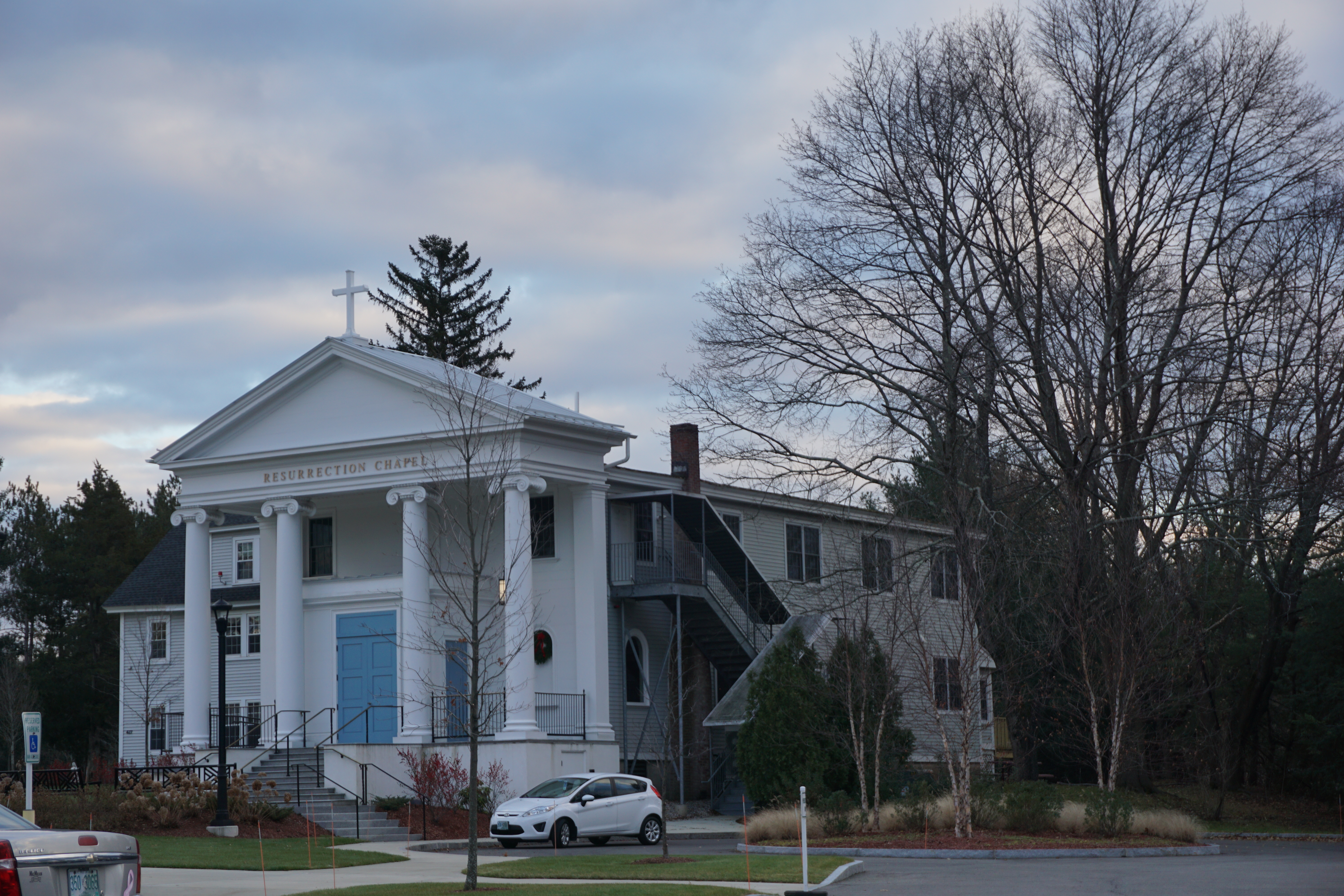
Church of the Good Shepherd
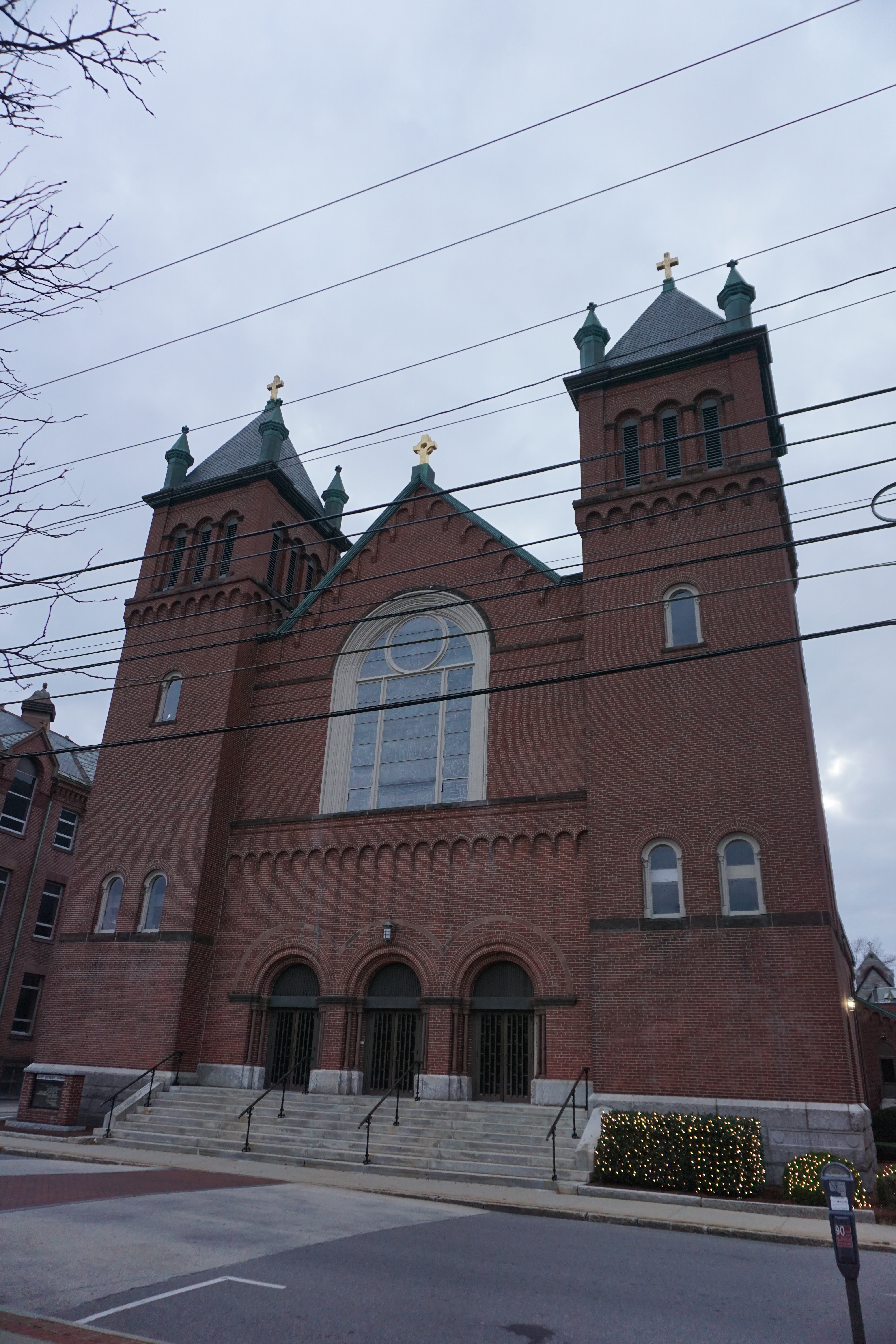
St. Patrick's Church
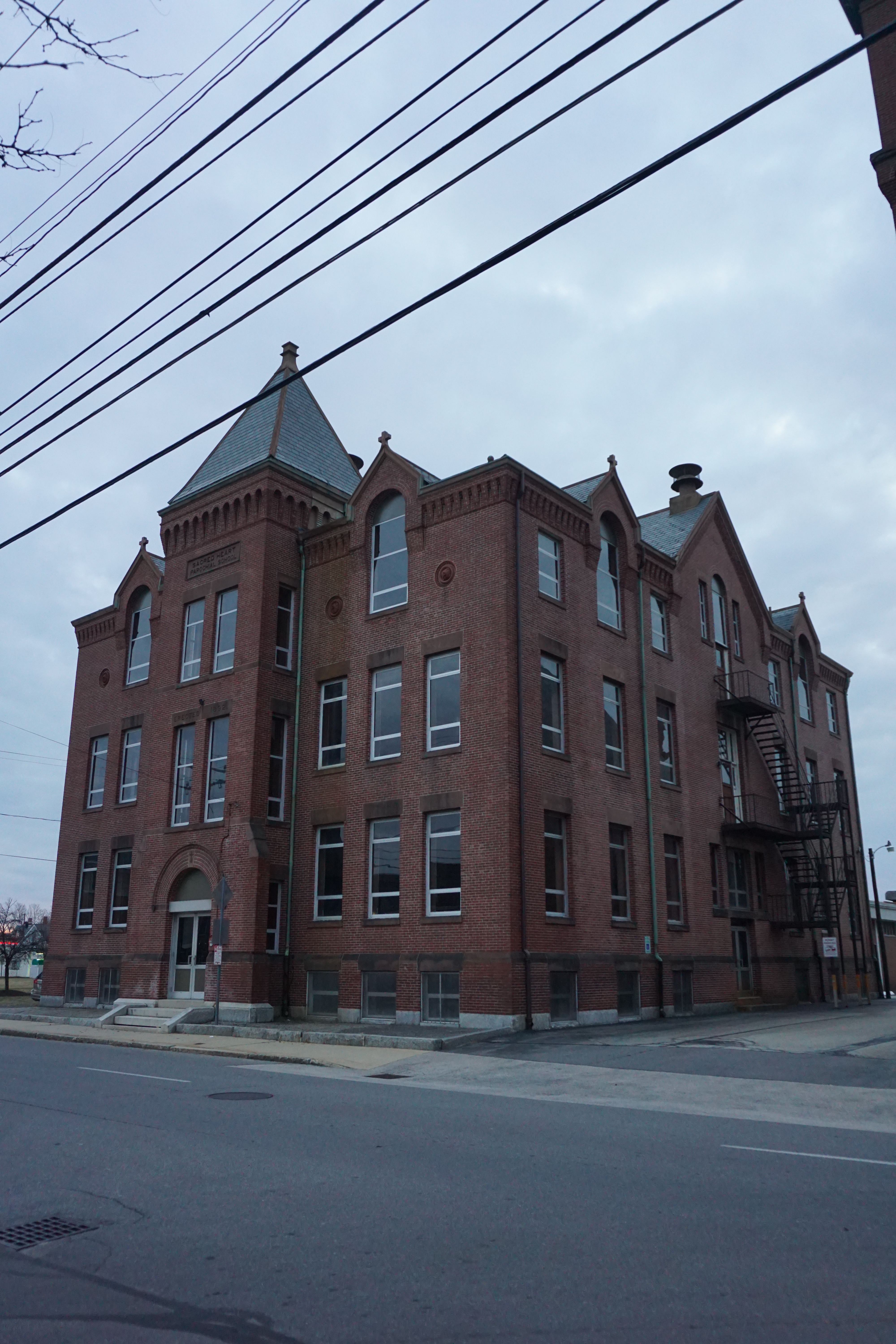
Old Sacred Heart Parochial School,
Spring Street and Eldridge Street
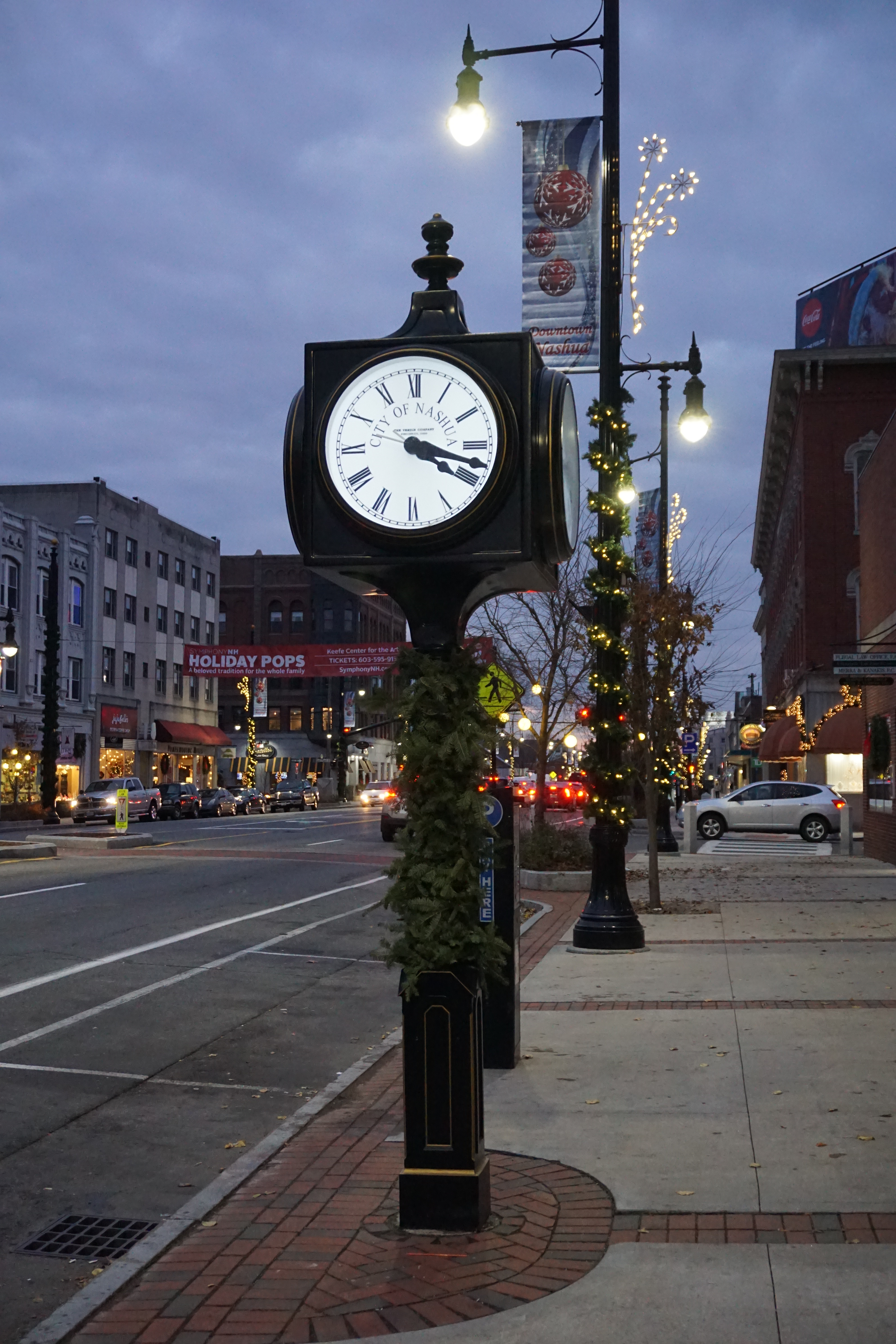
Town Clock, 153 Main Street
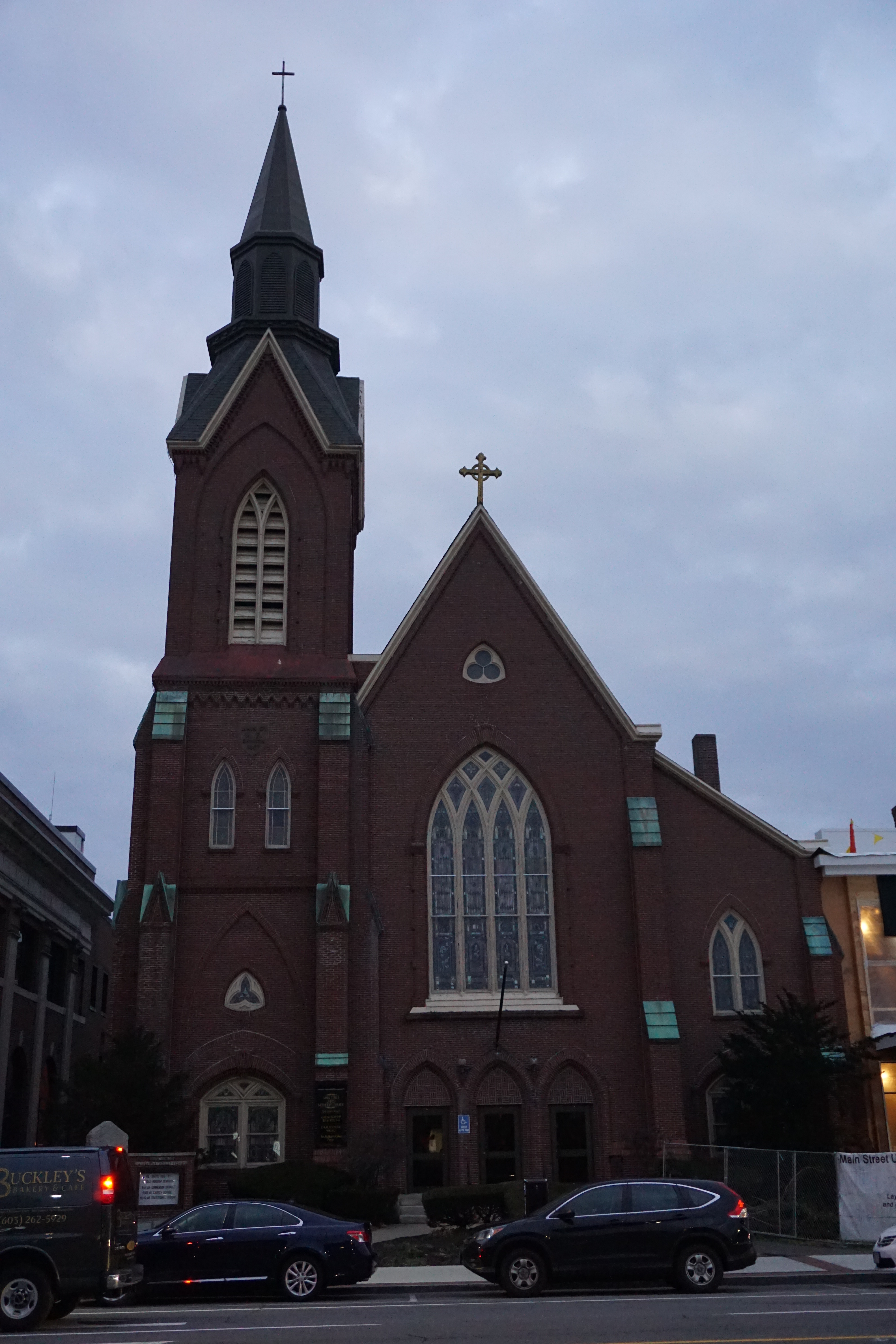
Main Street United Methodist Church 
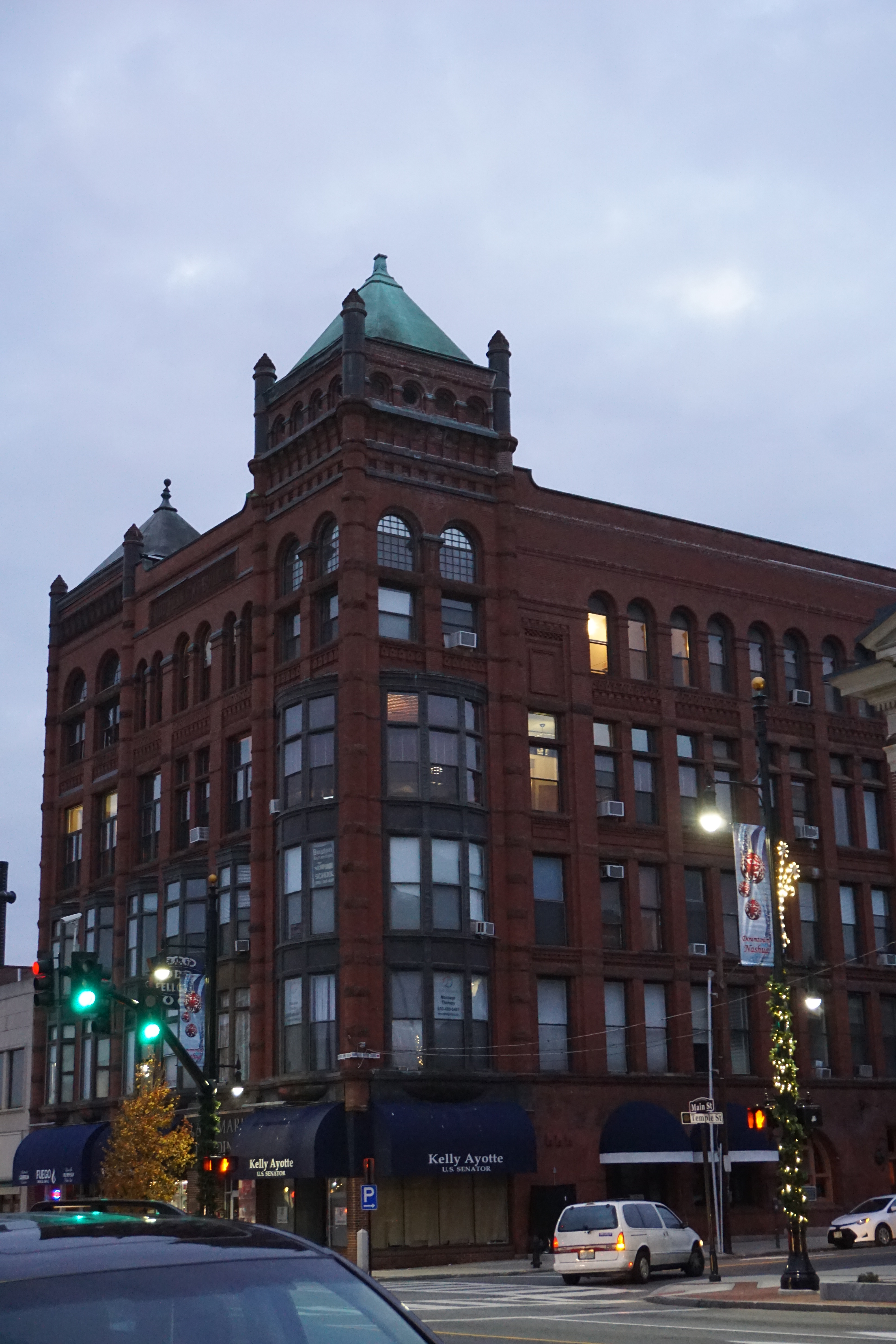
Landmark Building, 142 Main Street

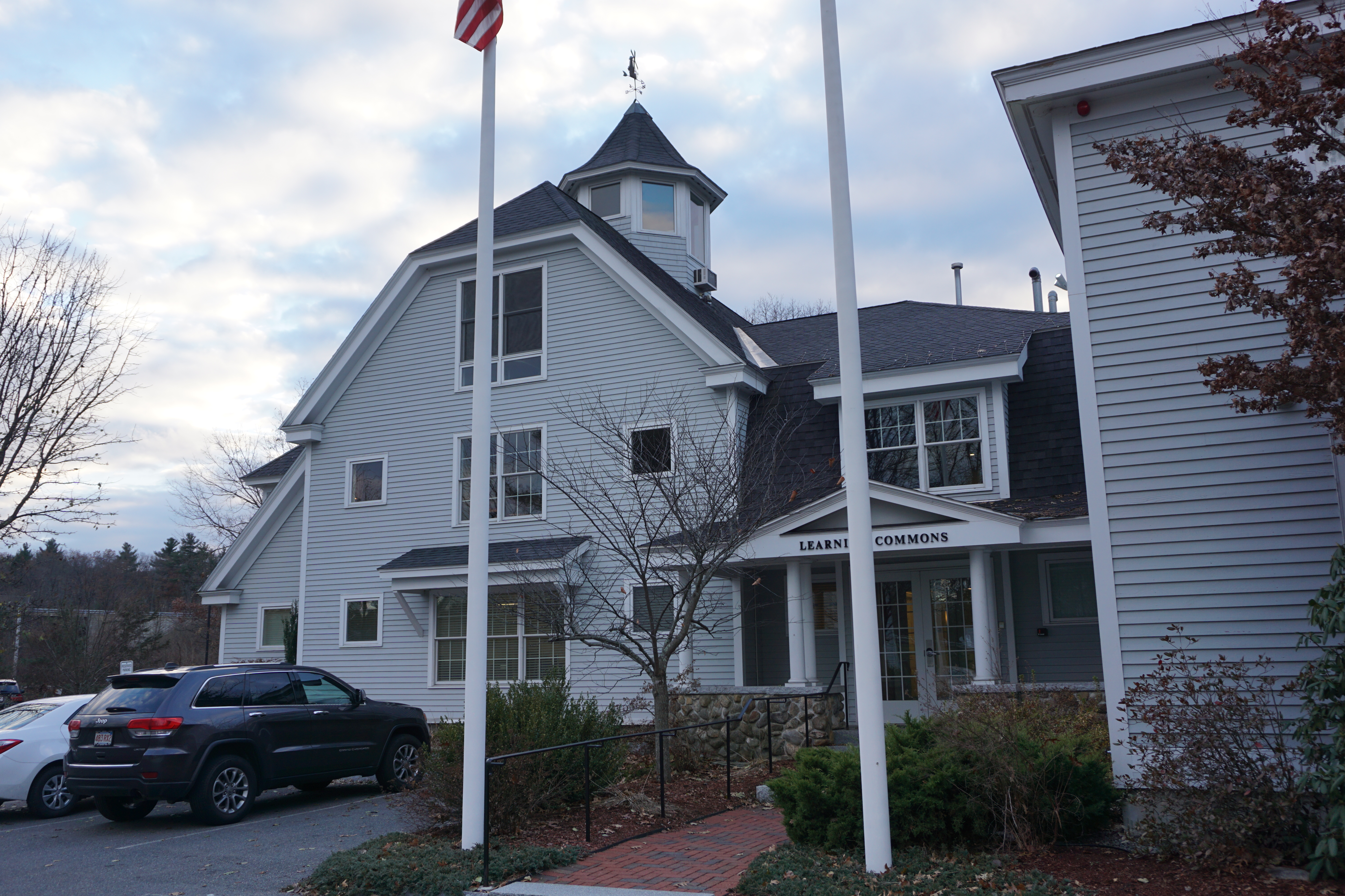
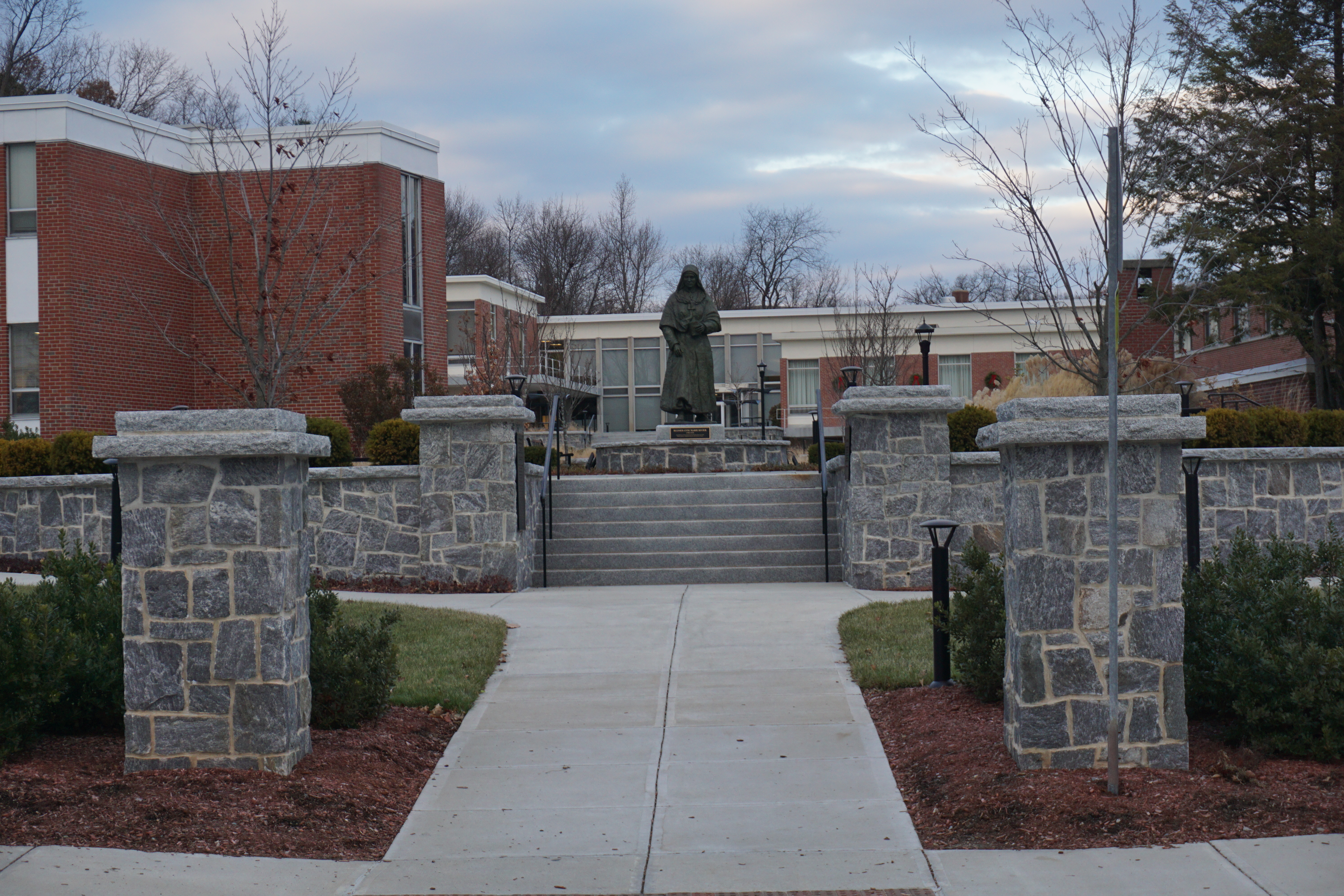
including Rivier University,
the Rotary Common Park,
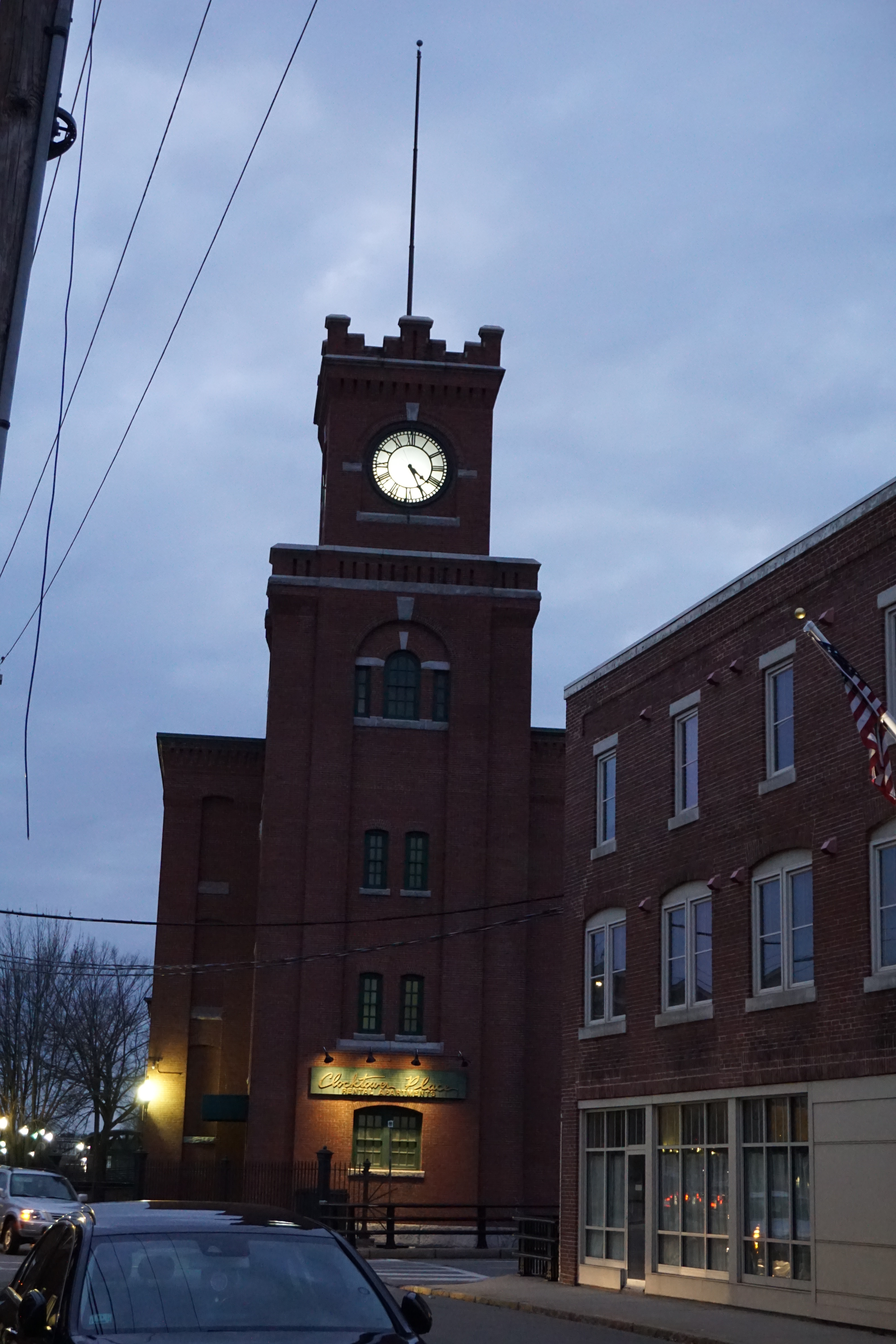
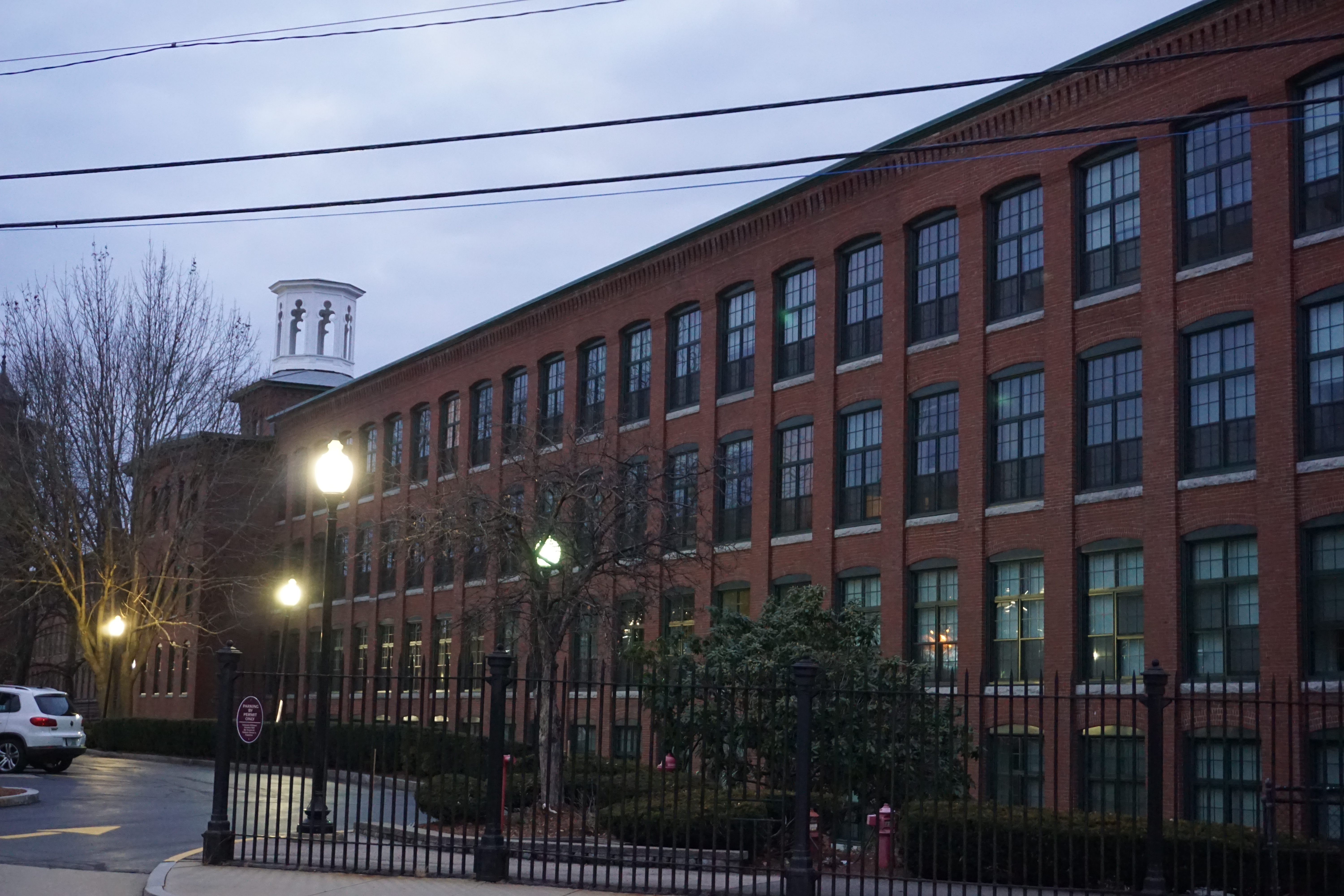
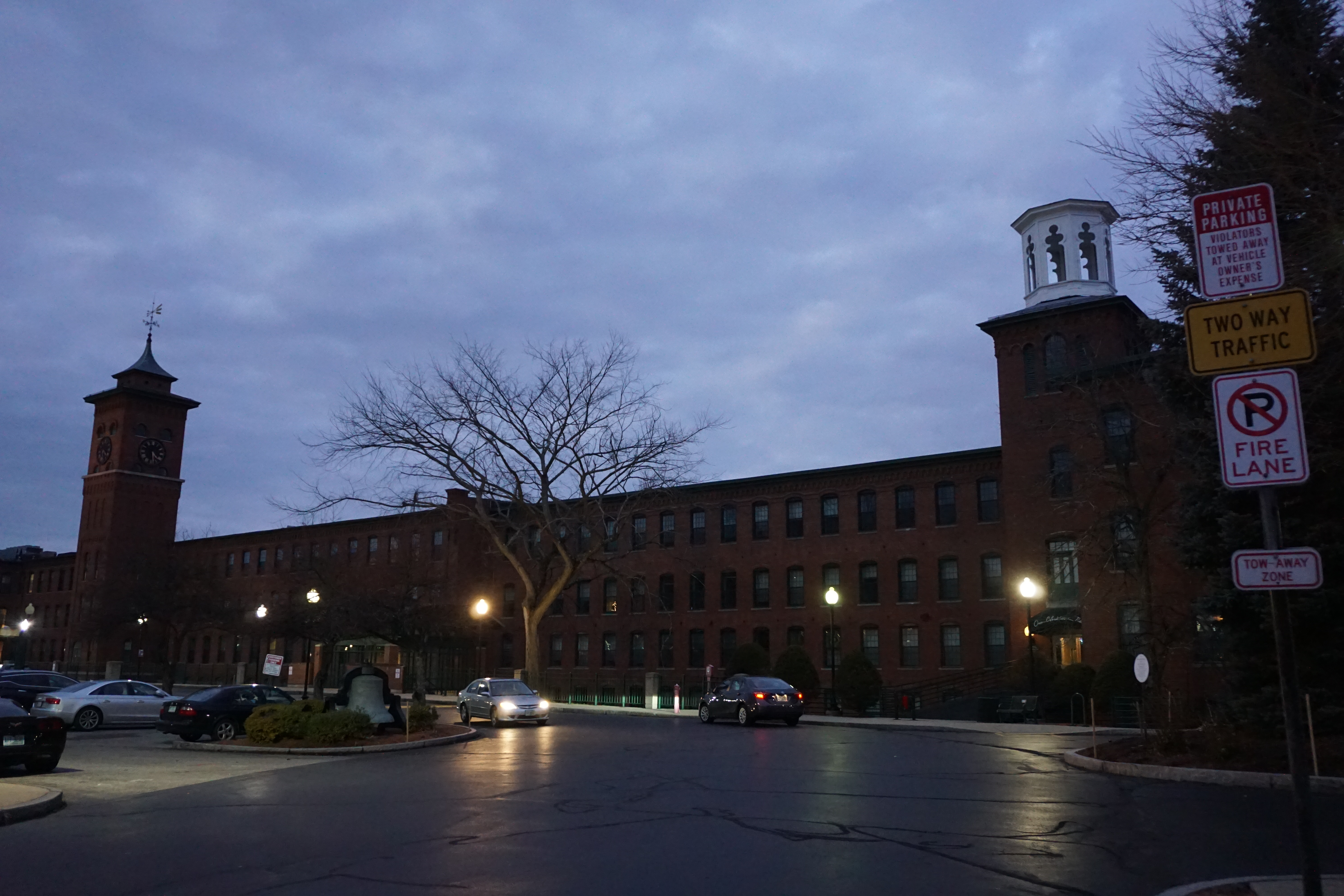
and the Clocktower Place
before the sun went down for good, and I called it a day for exploring Nashua.