Unfortunately, the views here were not as good as at the other spot here.
Next, it was on to the town of Bolton for my next hike, at the Fyfeshire Conservation Area. The path I took here to walk around the pond is shown below in pink.
The troublesome part about this place is that the trail does not go completely around the pond due to private property, hence I had to retrace my steps to get to all the viewpoints. Not a bad walk around the pond though.
The next hike I went on was at Welch Pond in town, where the path I took to get to the pond is shown below in pink.
Unfortunately, I could only get partial views of the pond at best.
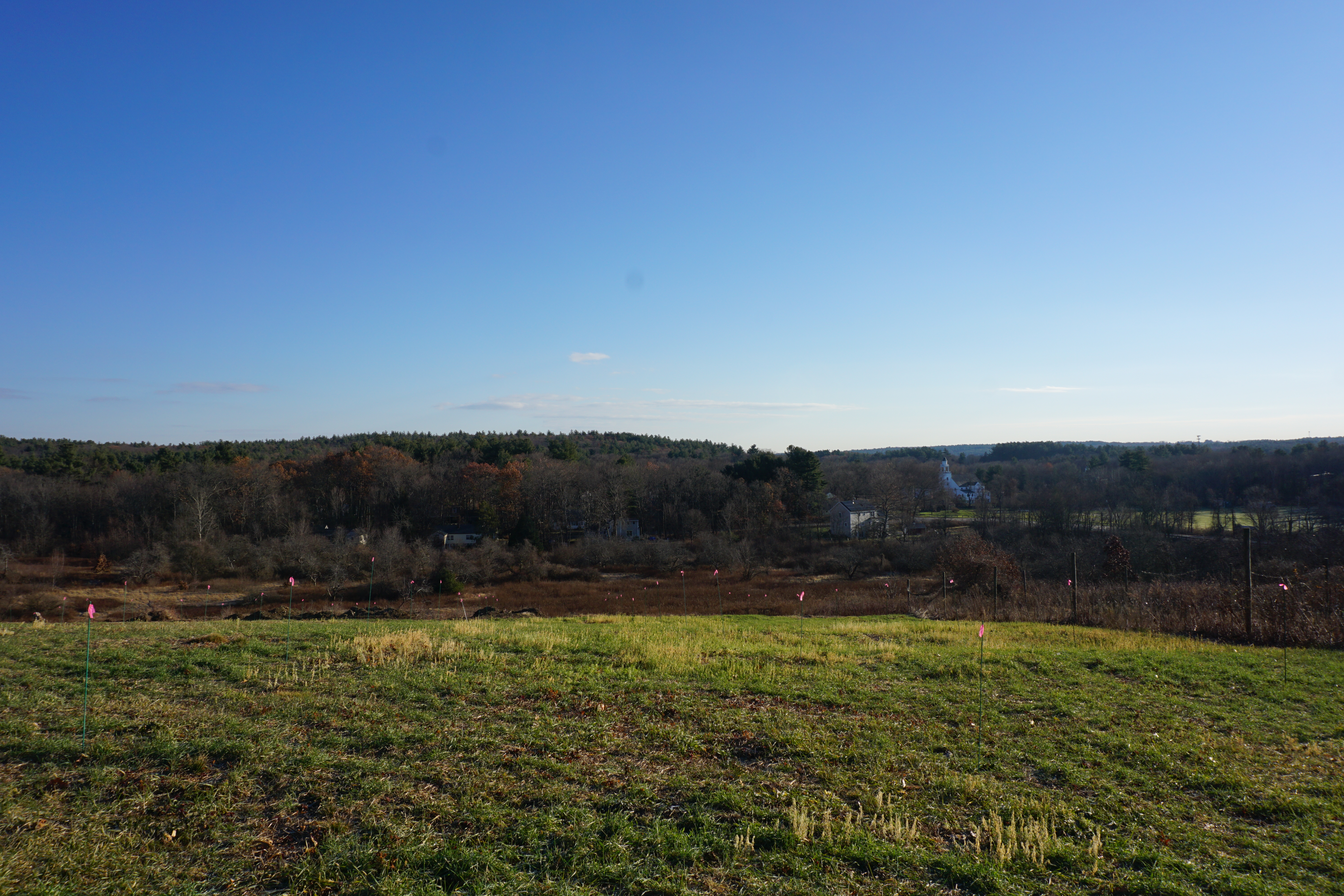
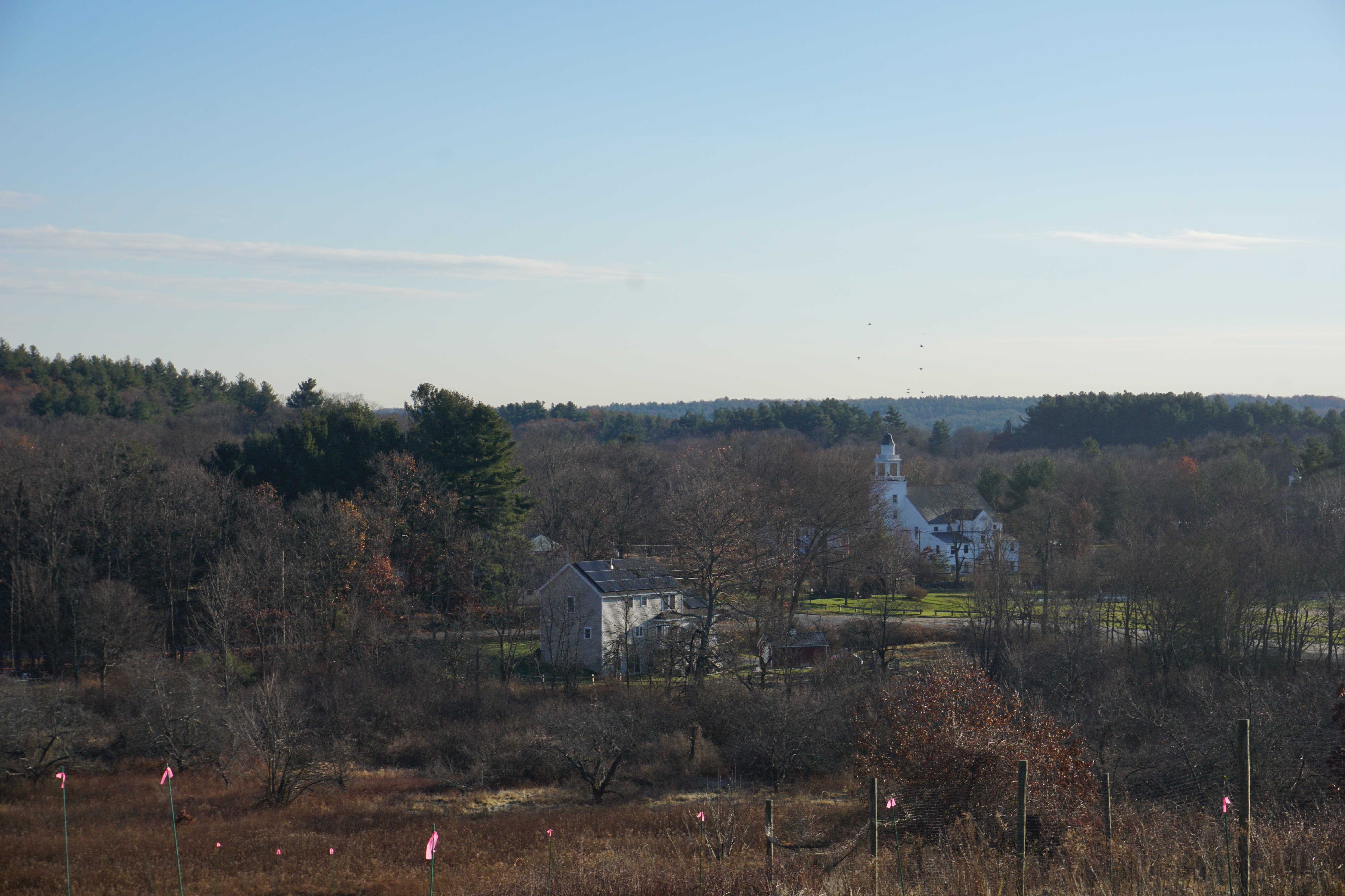
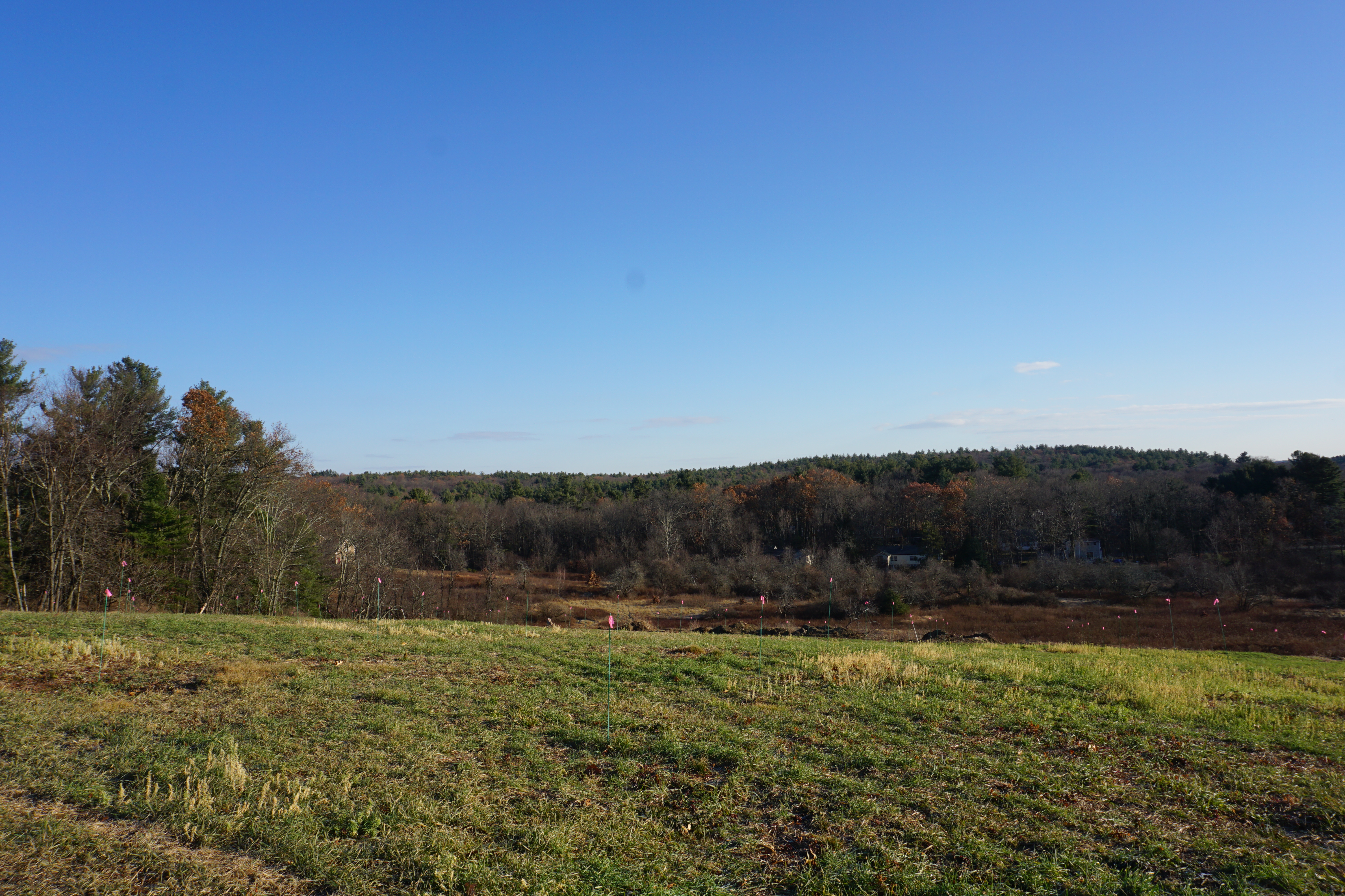
My next hike was at the Bolton Overlook, where the path I took here is shown below in pink.
Awesome views from the top of the hill, with not much effort made. The parking situation could be better though.
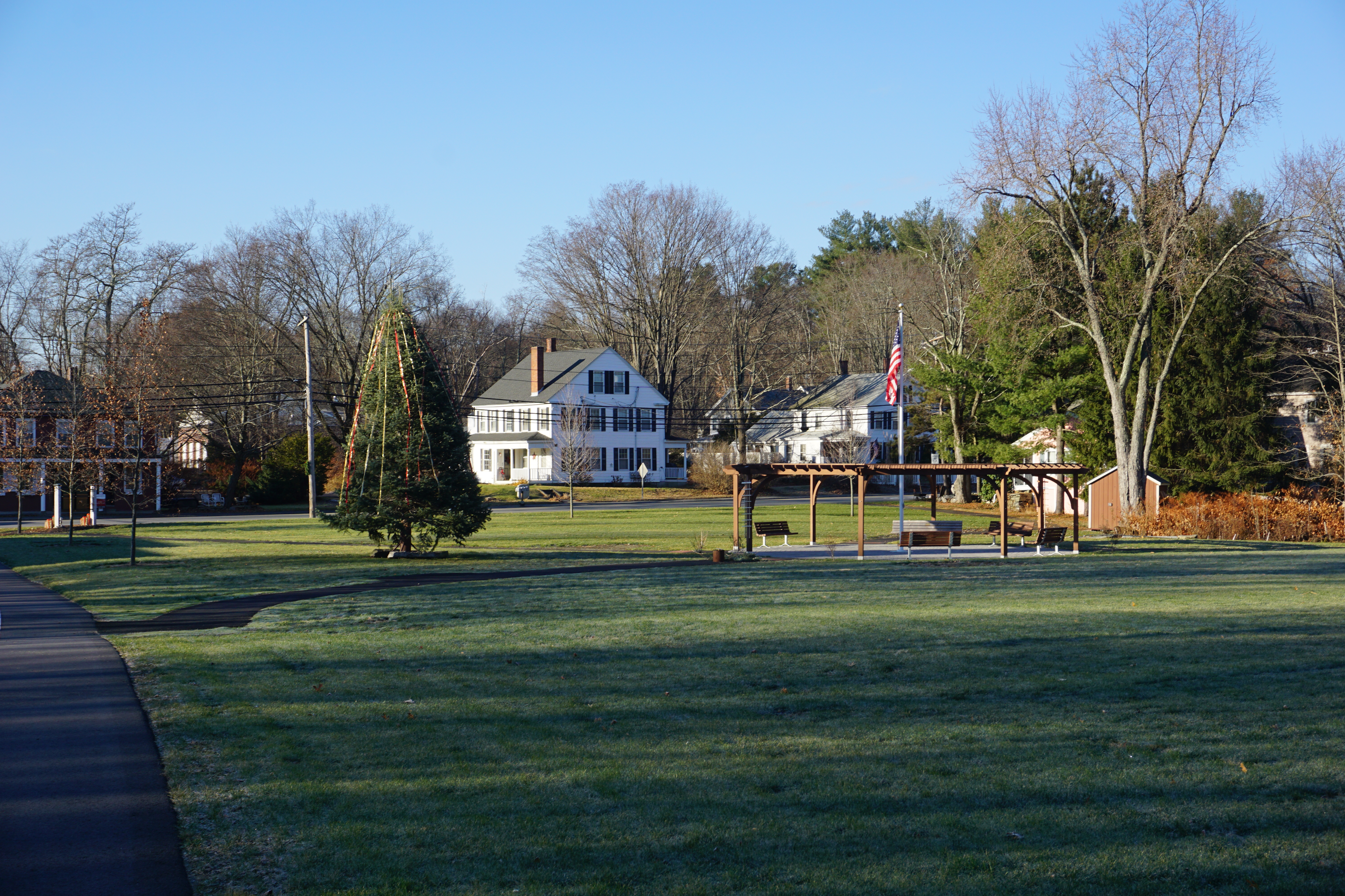
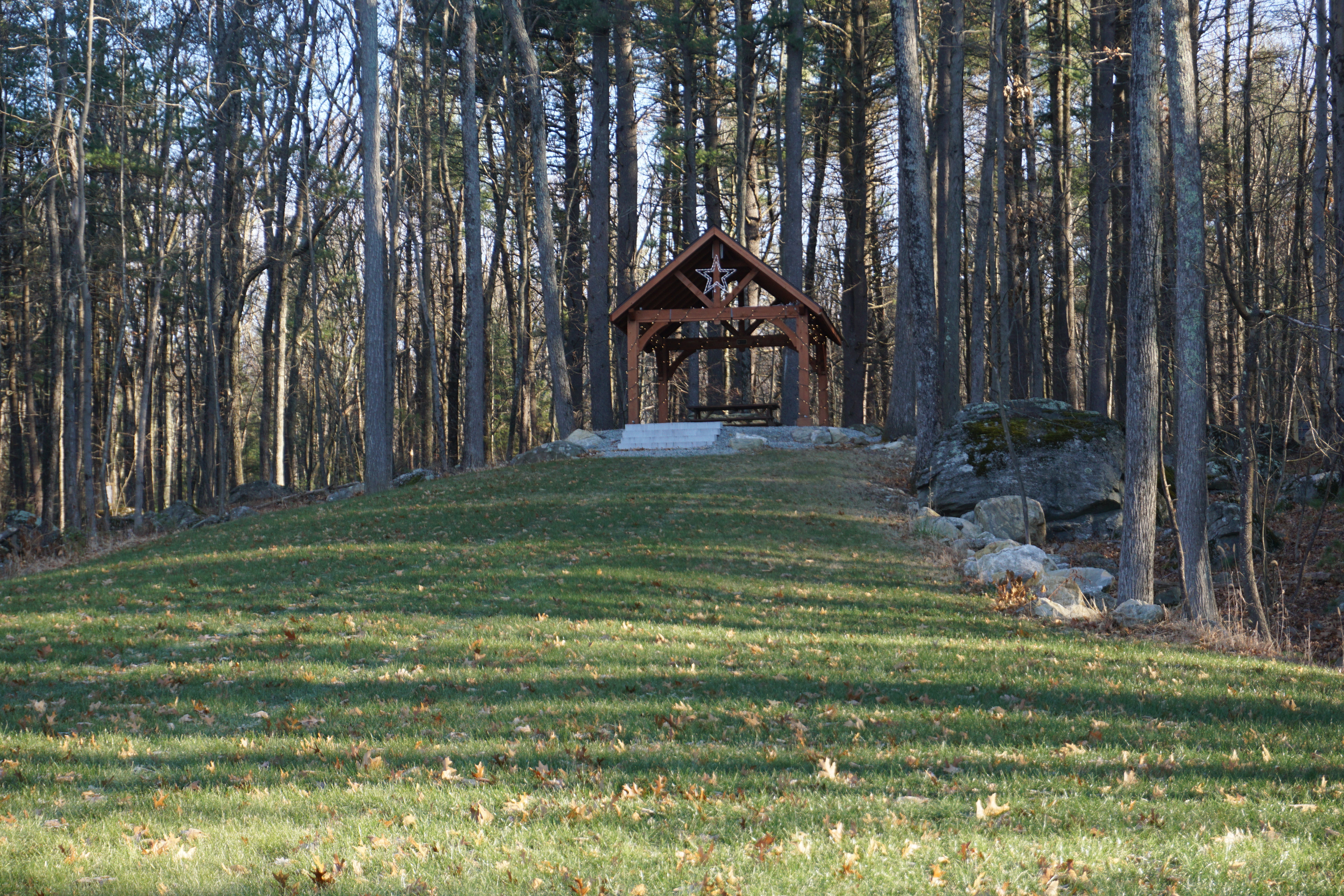
Next, the Town Common,
where there were decent views from the pavilion at the top of the hill, but not as good.
My next hike in town was at Wilder Pond, where the path I took here is shown below in pink.
Again, nothing much to see here, and the trails were really overgrown.
Not coming back here again.
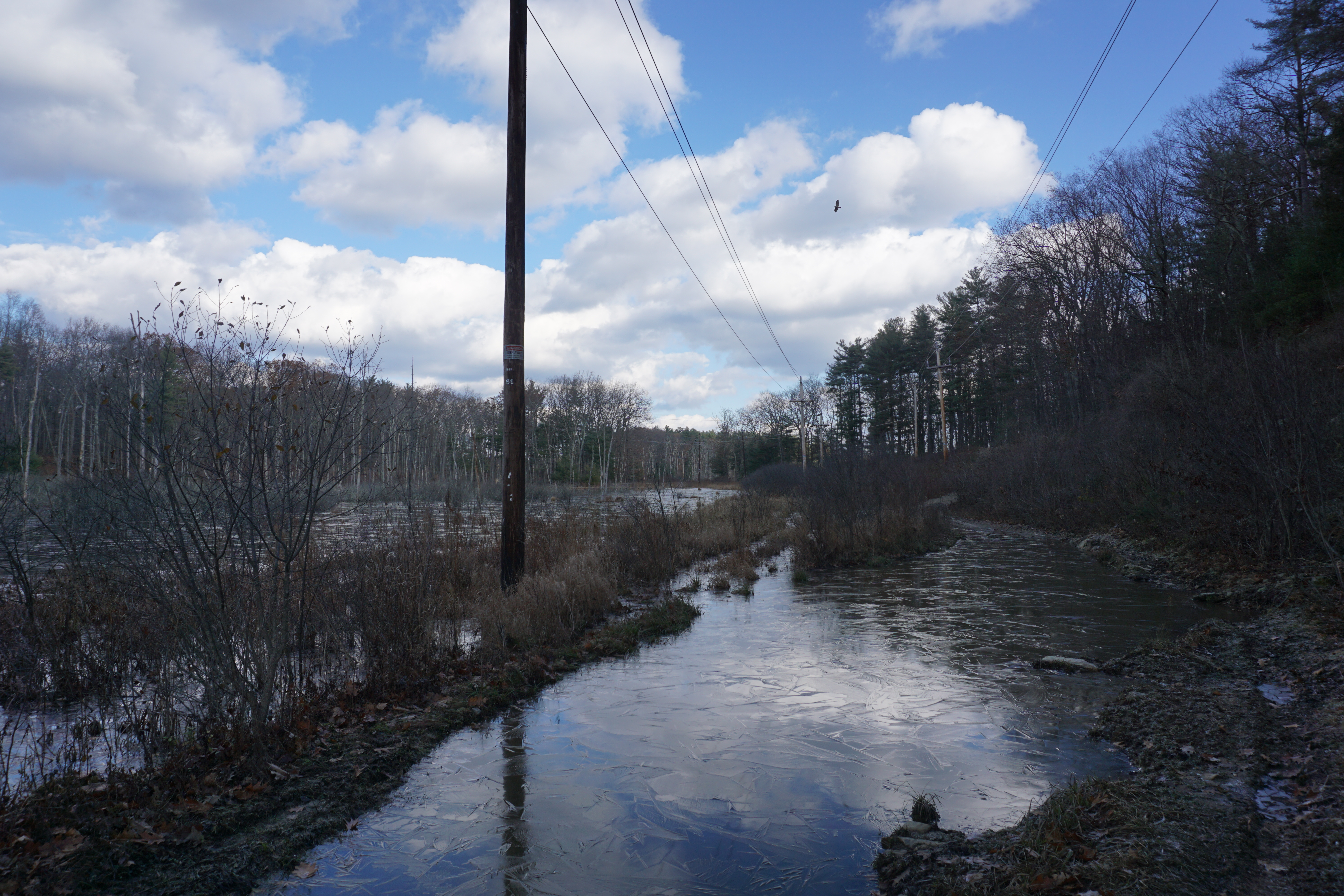
My last hike in Bolton today was at the Bolton Flats area, where the path I took here is shown below in pink.
I initially tried to enter the area on the Still River Road side, but it was too flooded on this side for me to proceed.
Thankfully, there was another entrance to the area on Main Street right at the border with Lancaster,
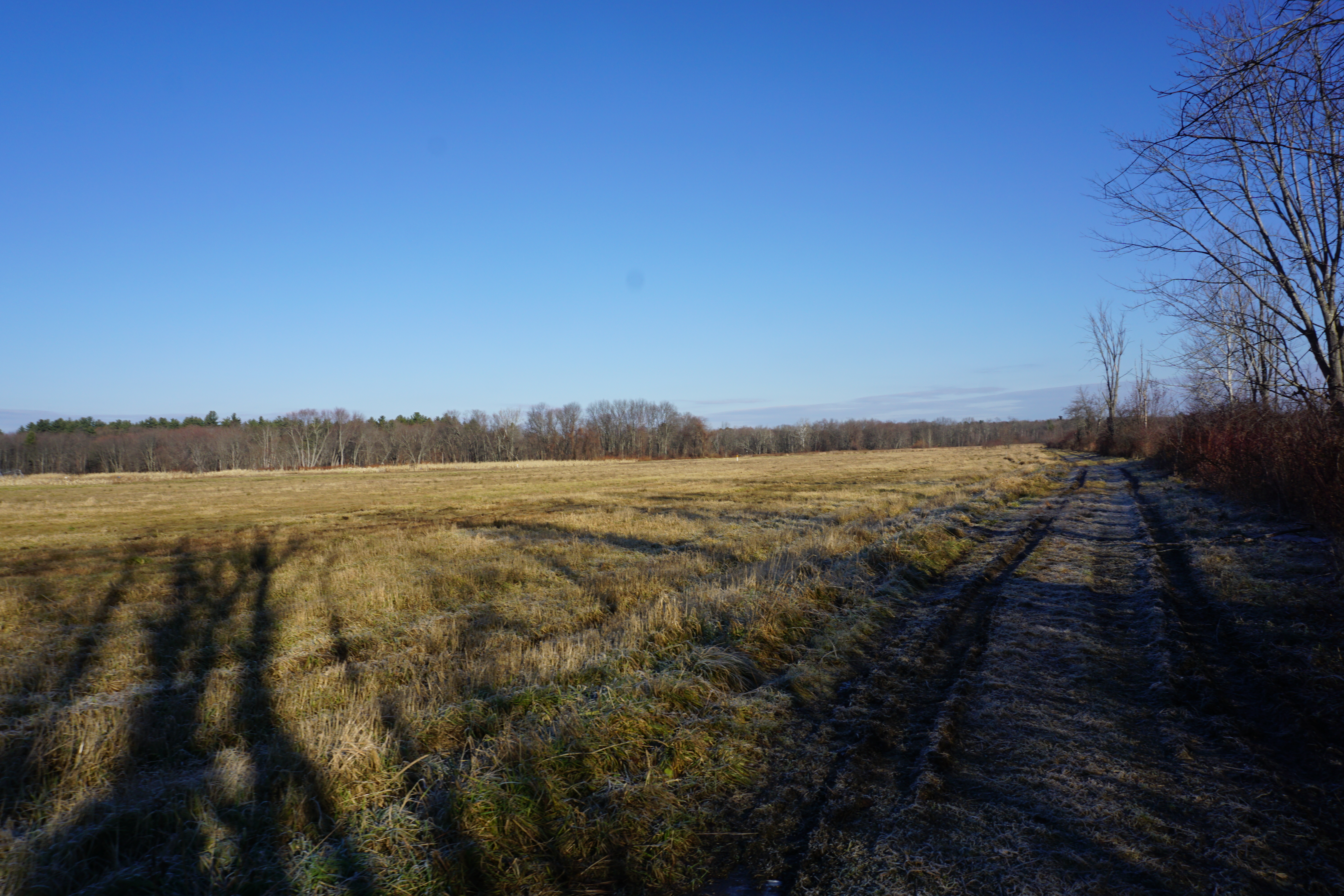
and it was from here I was able to get to the flat open area with views of the mountains.
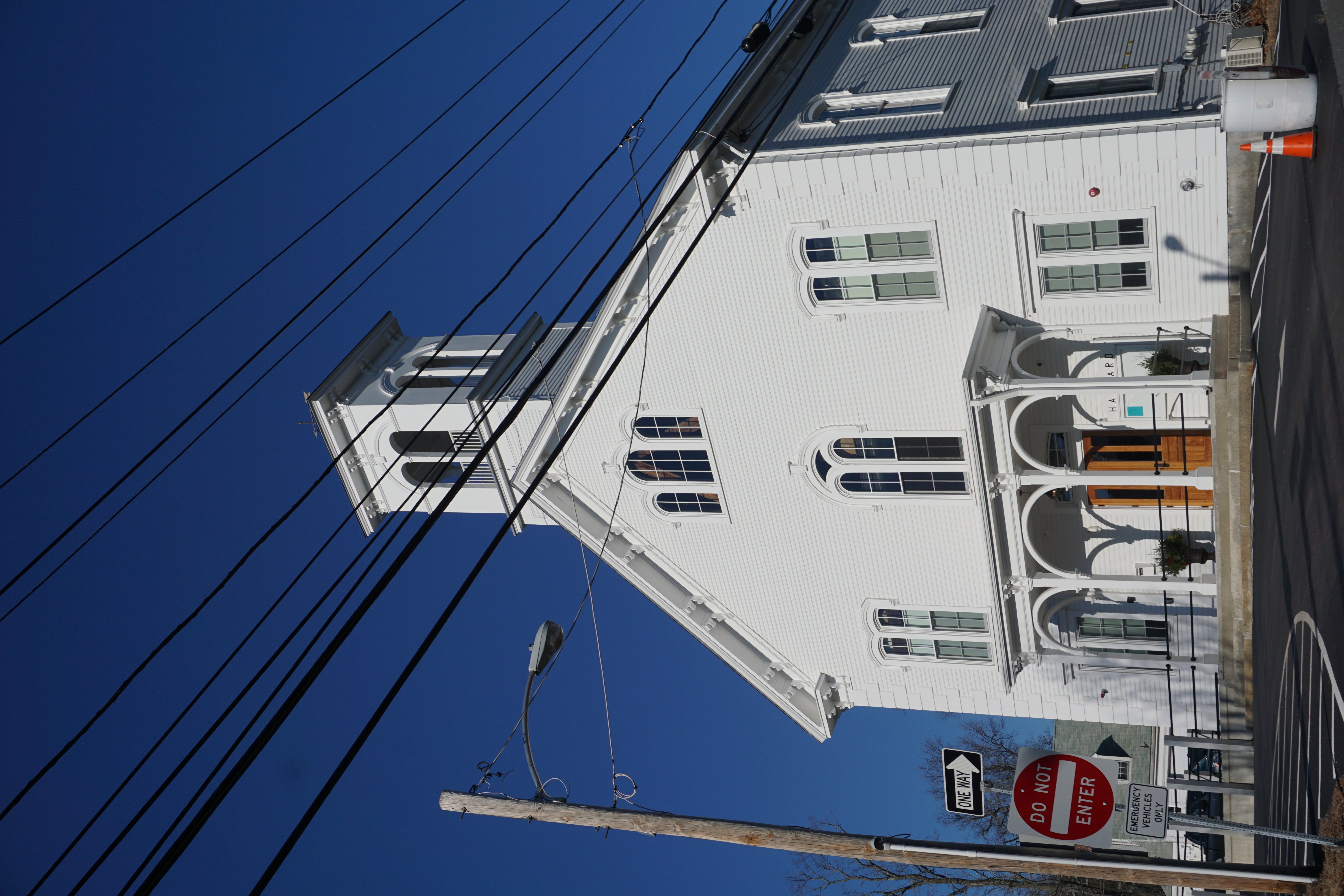
From here, it was on to the town of Harvard,
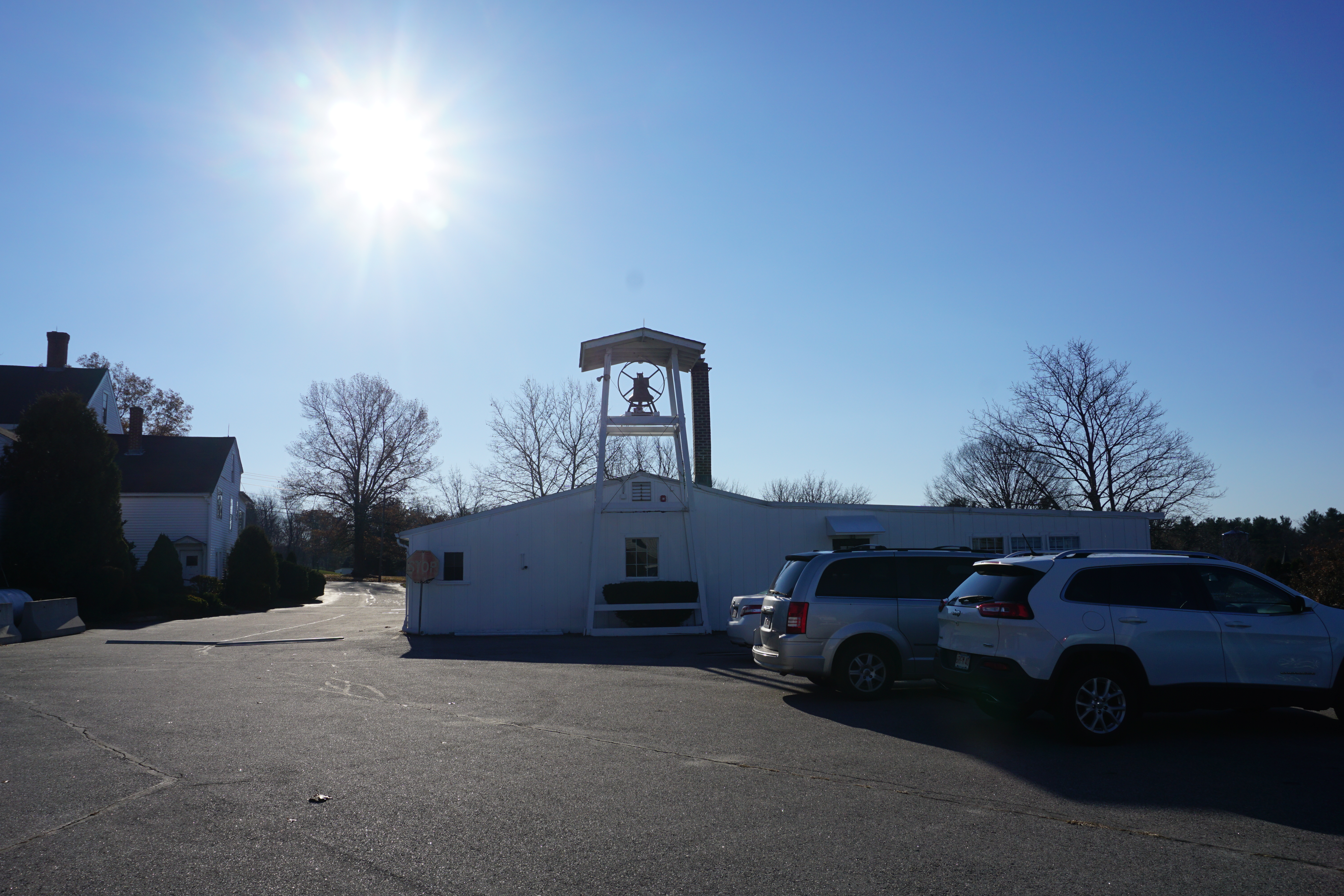 |
| St. Benedict Abbey |
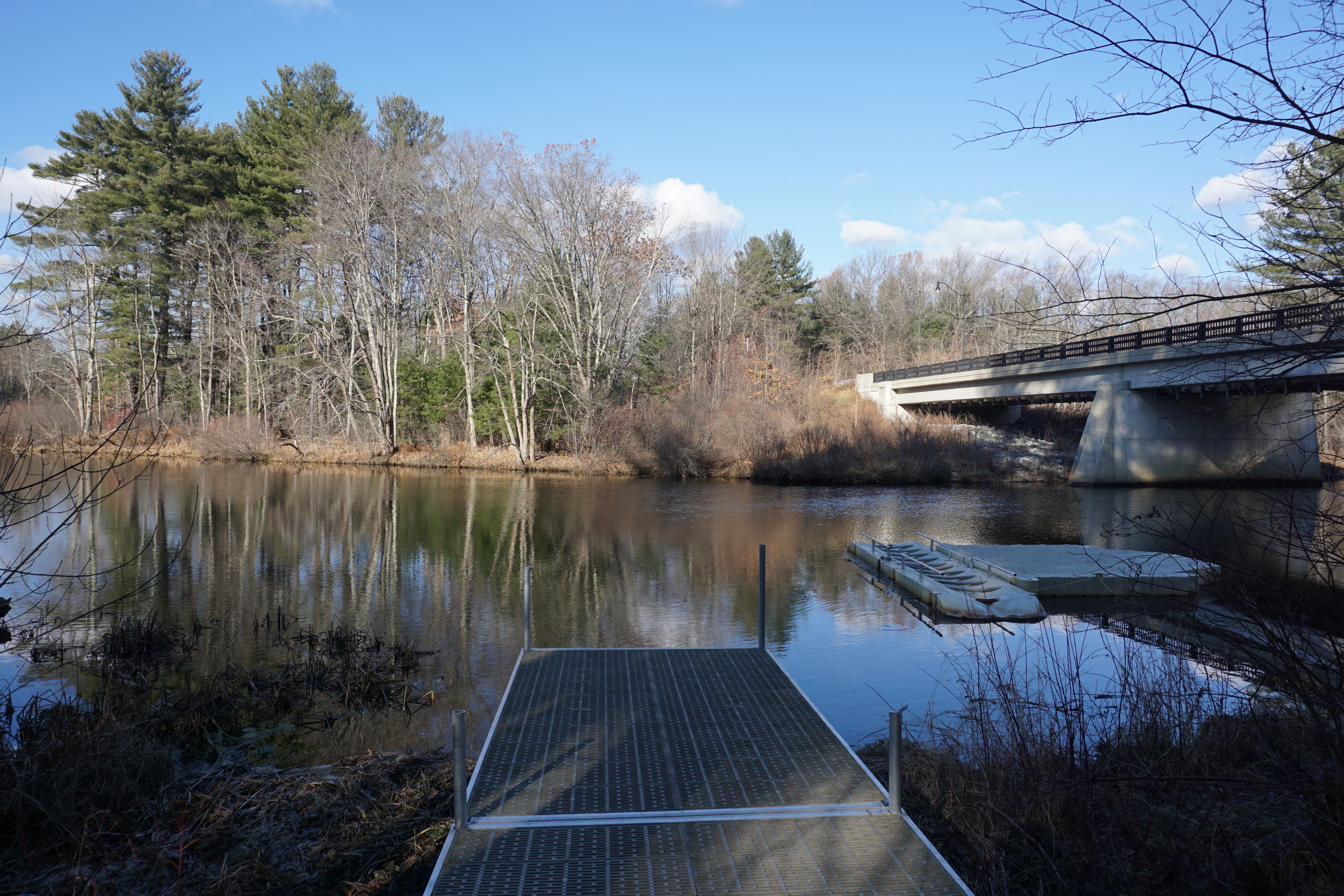
and I went on a hike at another section of the Oxbow National Wildlife Refuge at 80 Hospital Road, where the path I took is shown below in pink.
Unfortunately, the only good views were by the Nashua River.
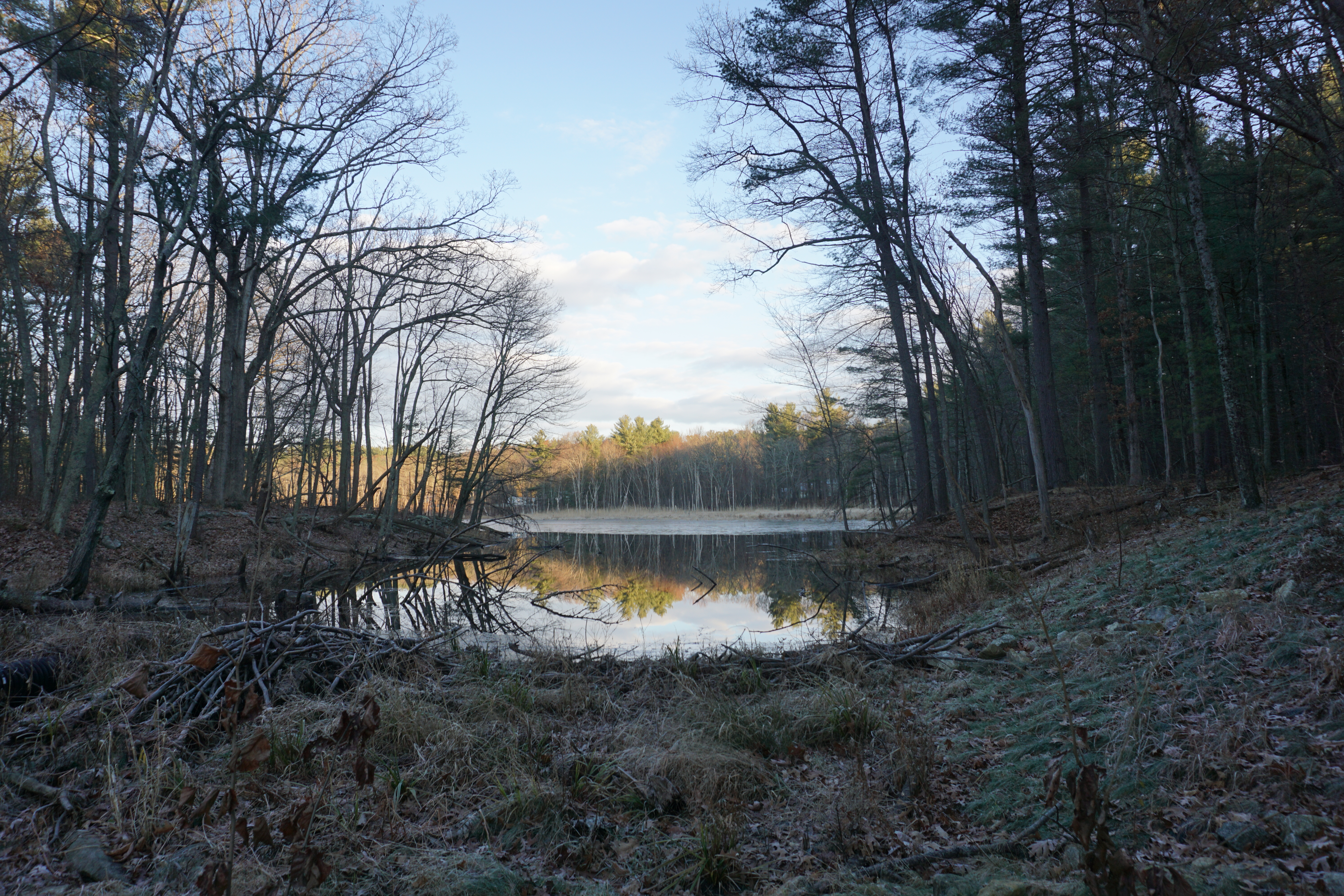
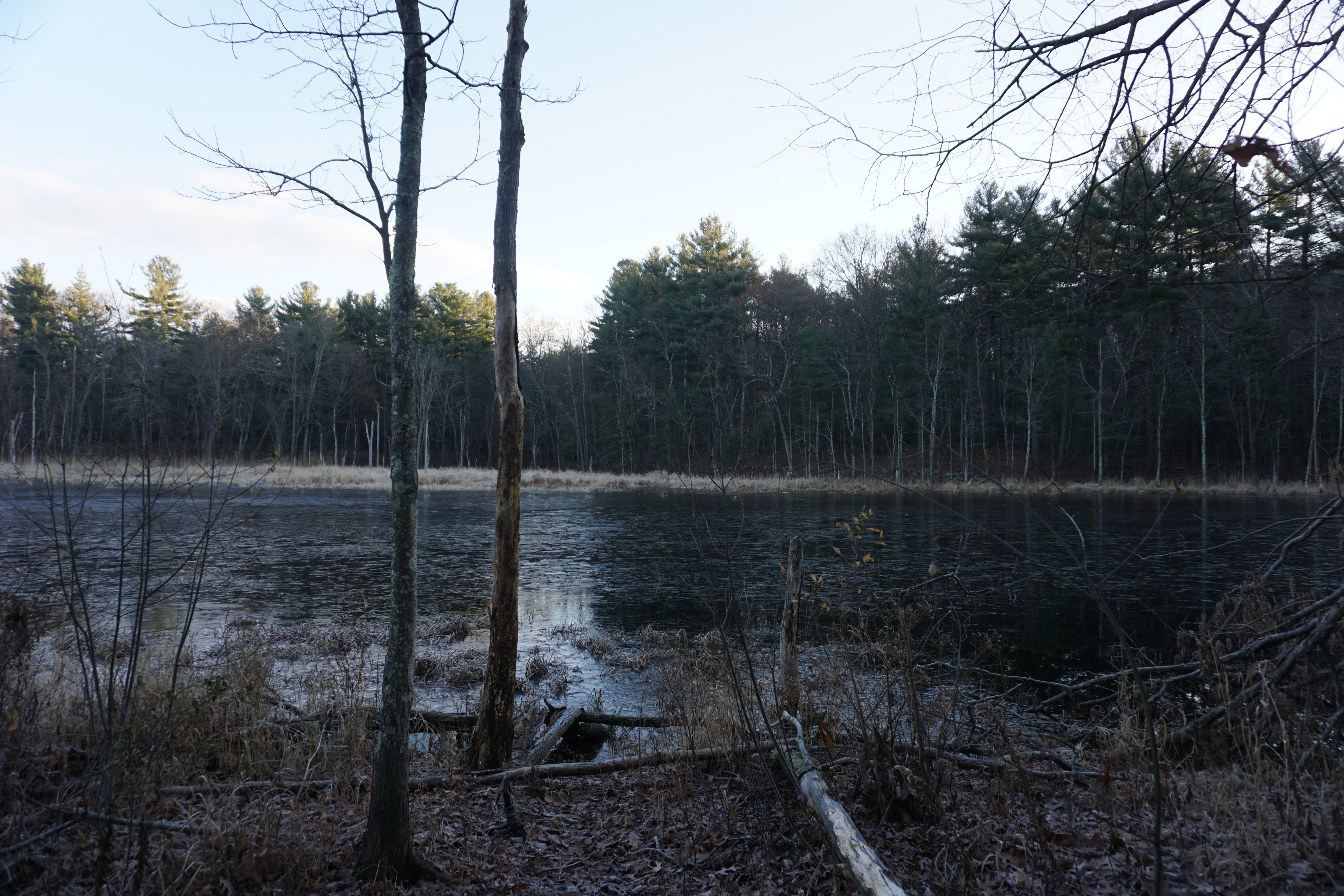
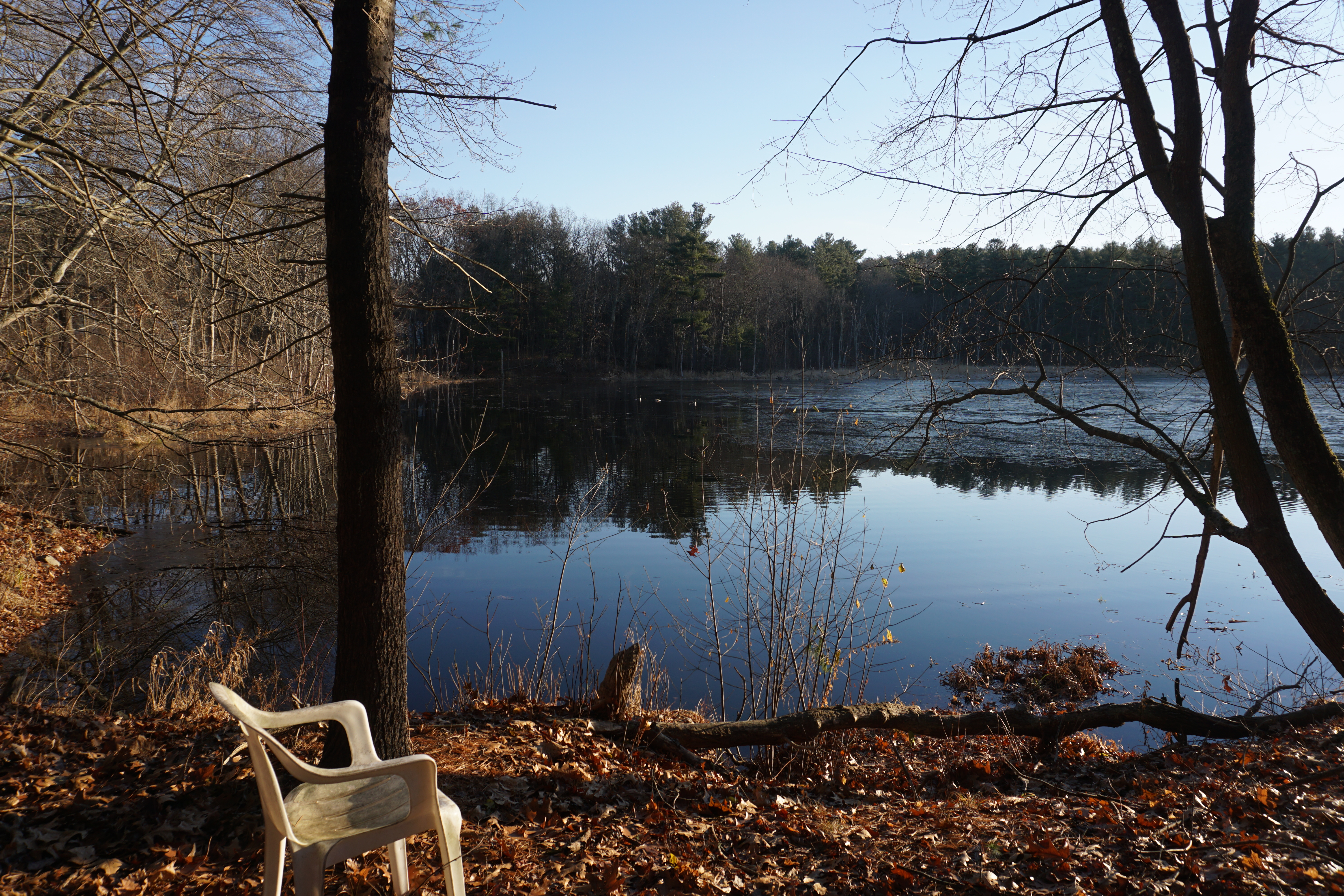
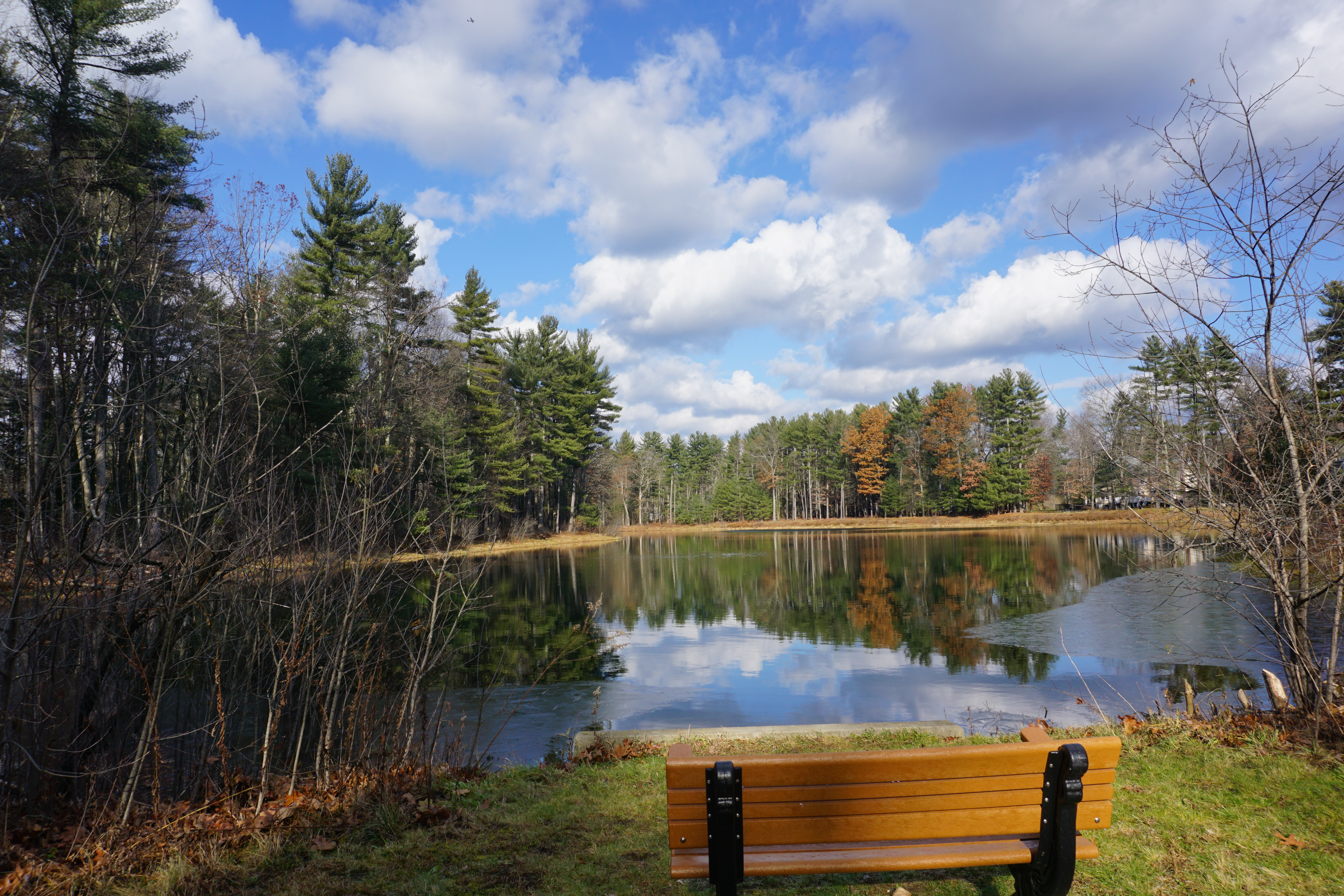
From here it was on to the town of Groton, for a short hike at the Talsey Conservation Restriction, where the path I took to get to the pond behind the residential area is shown below in pink.
Beautiful view of the pond here, and really serene too.
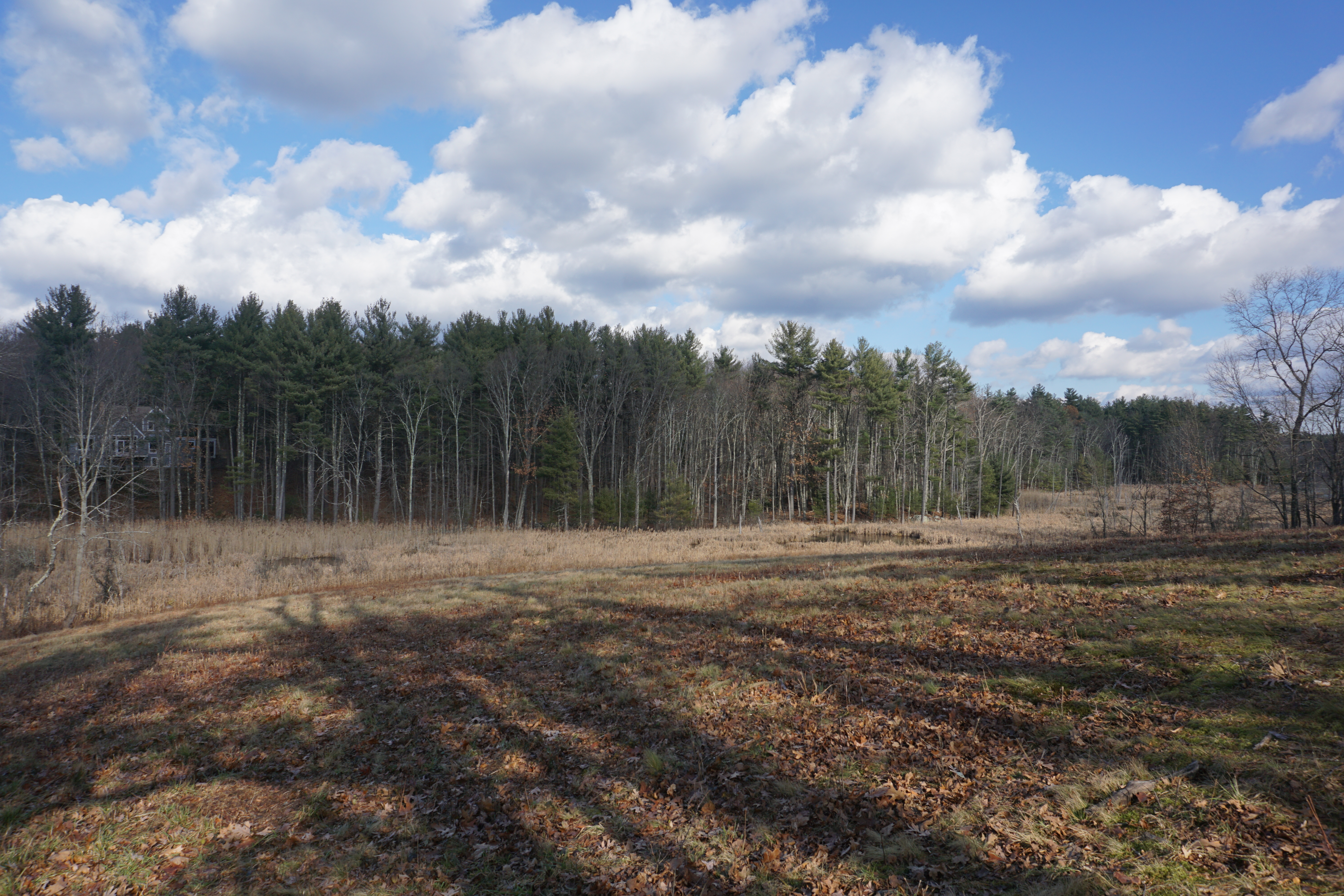
The next hike in town was at the Blackman Field and Woods, where the path I took here is shown below in pink.
My initial attempt
to reach the water body was foiled by flooding,
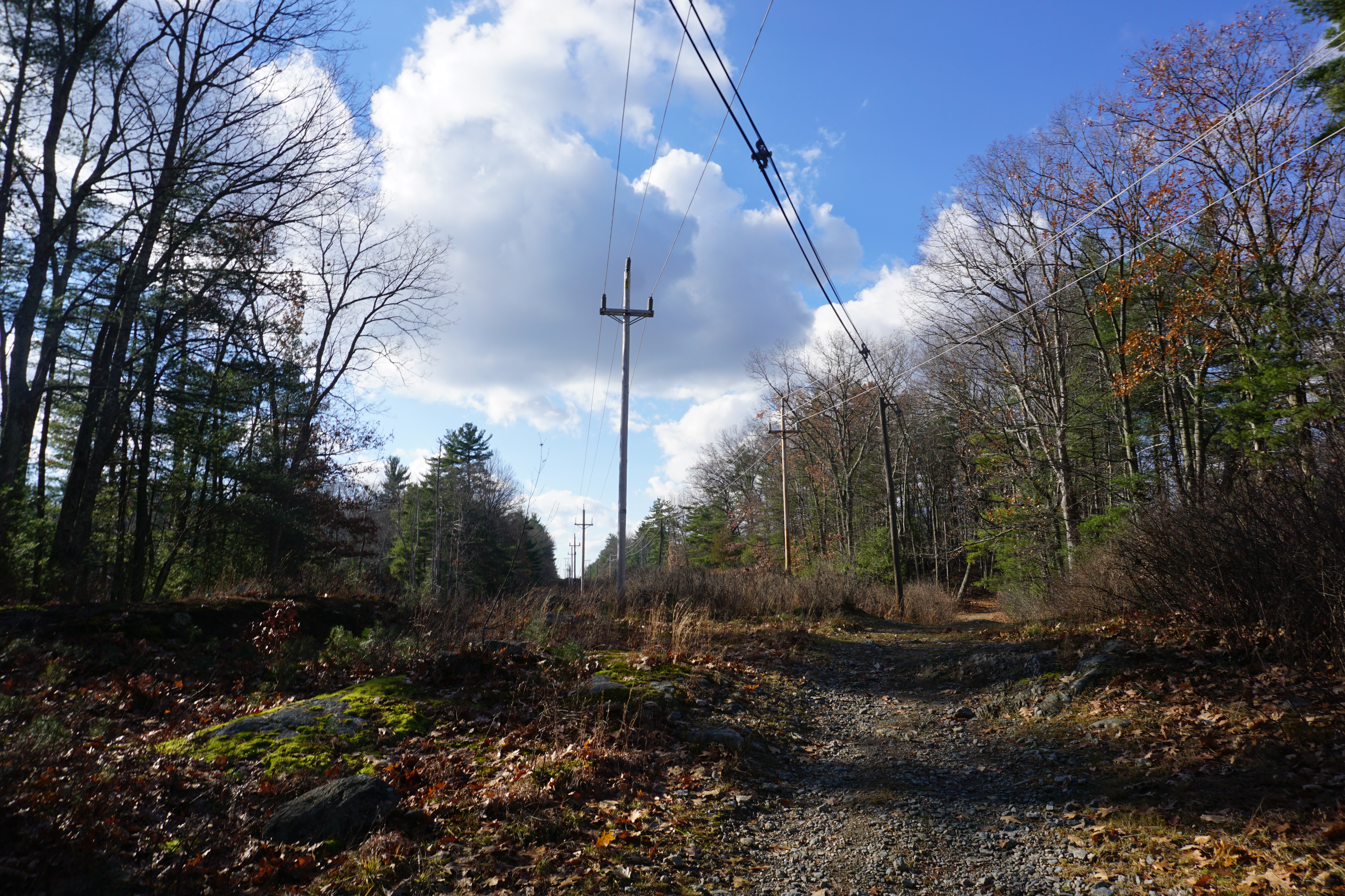
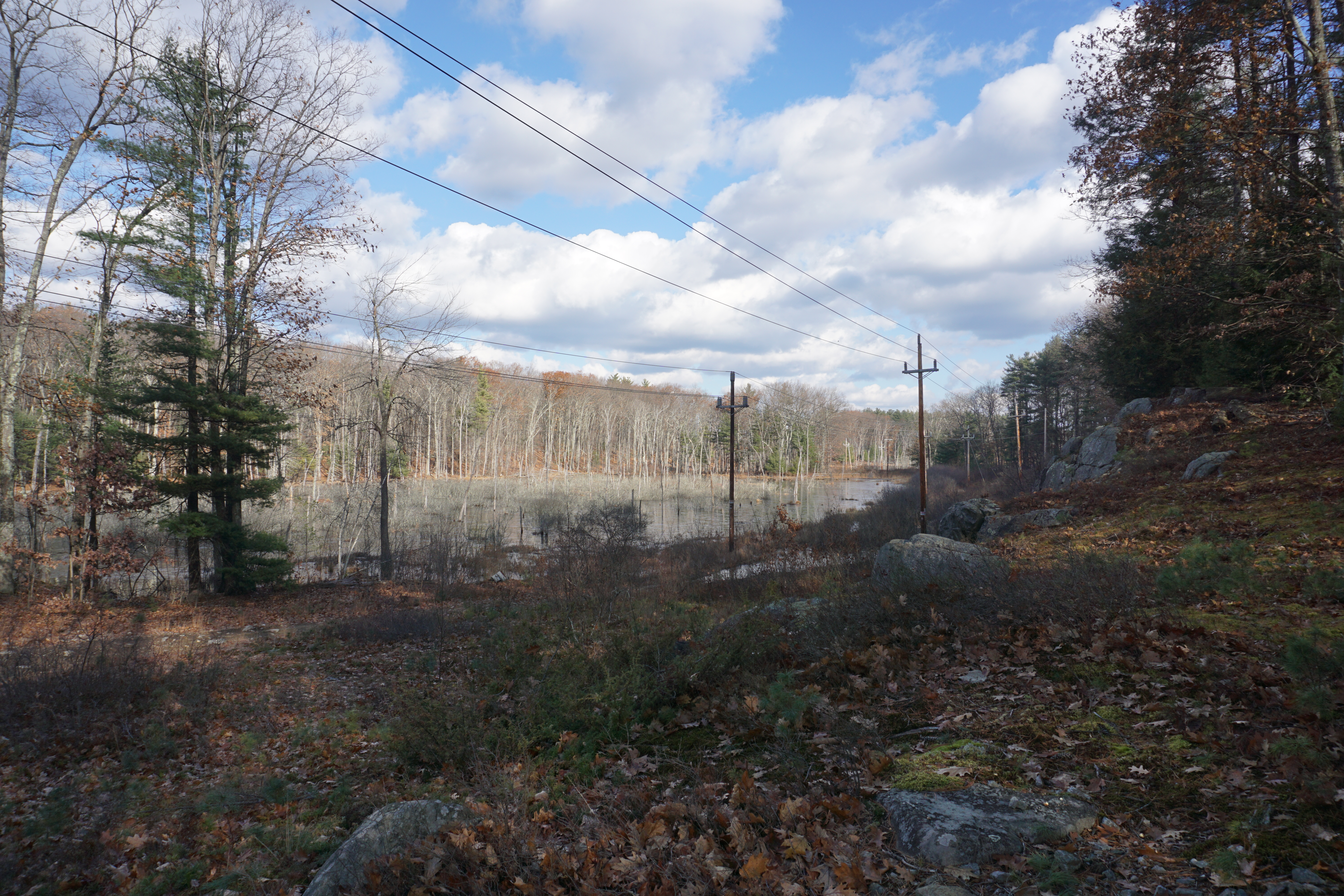
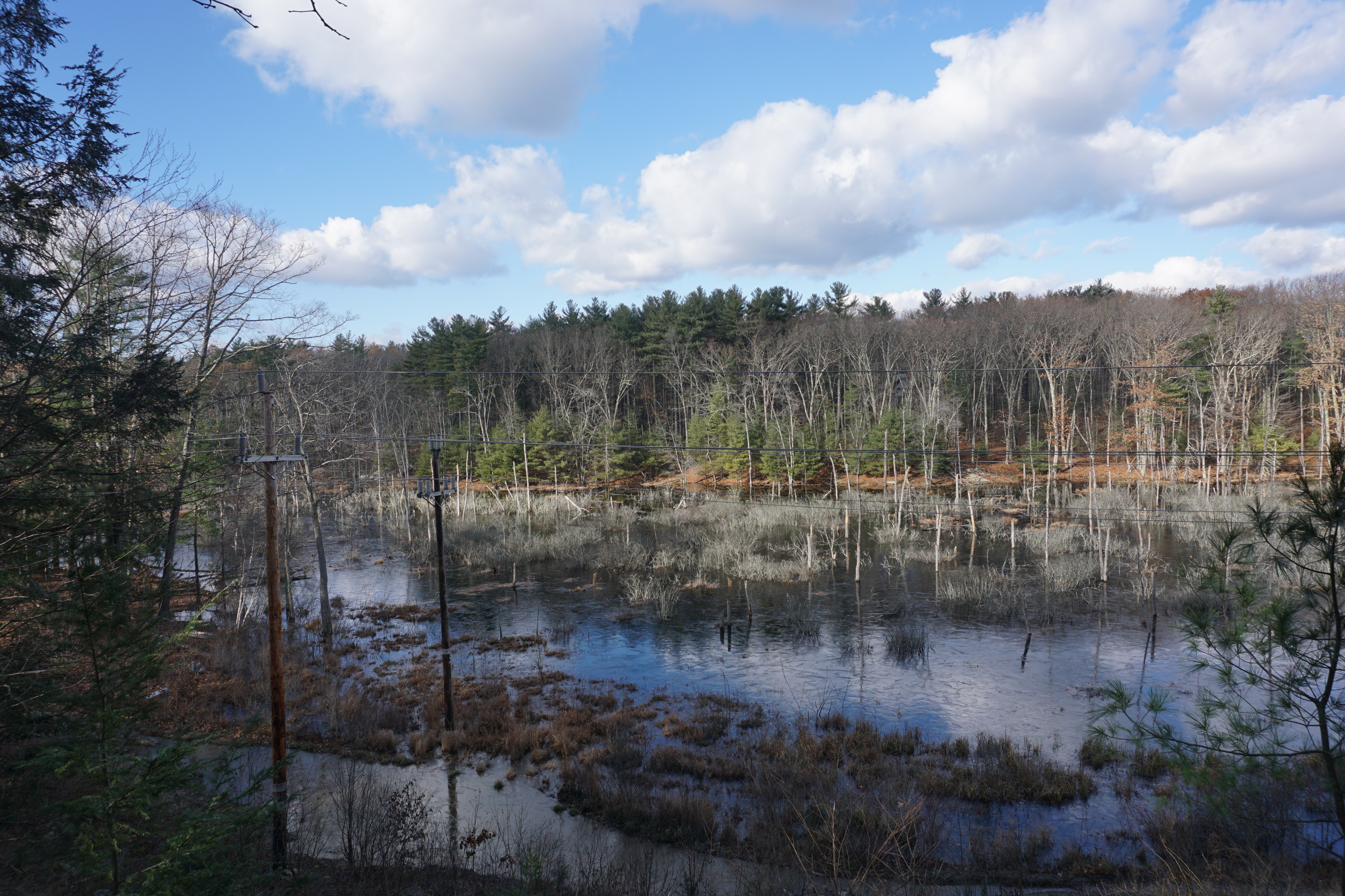
but it was a blessing in disguise as I tried going the other way, which was uphill, and brought me to an amazing view below at the power lines.
Glad I did not give up on this place.
My final hike in Groton was at Mason Back 100, where the path I took here is shown below in pink.
Okay views of the marsh here, but nowhere as good as the two earlier places.
From here, passing by Tyngsborough,
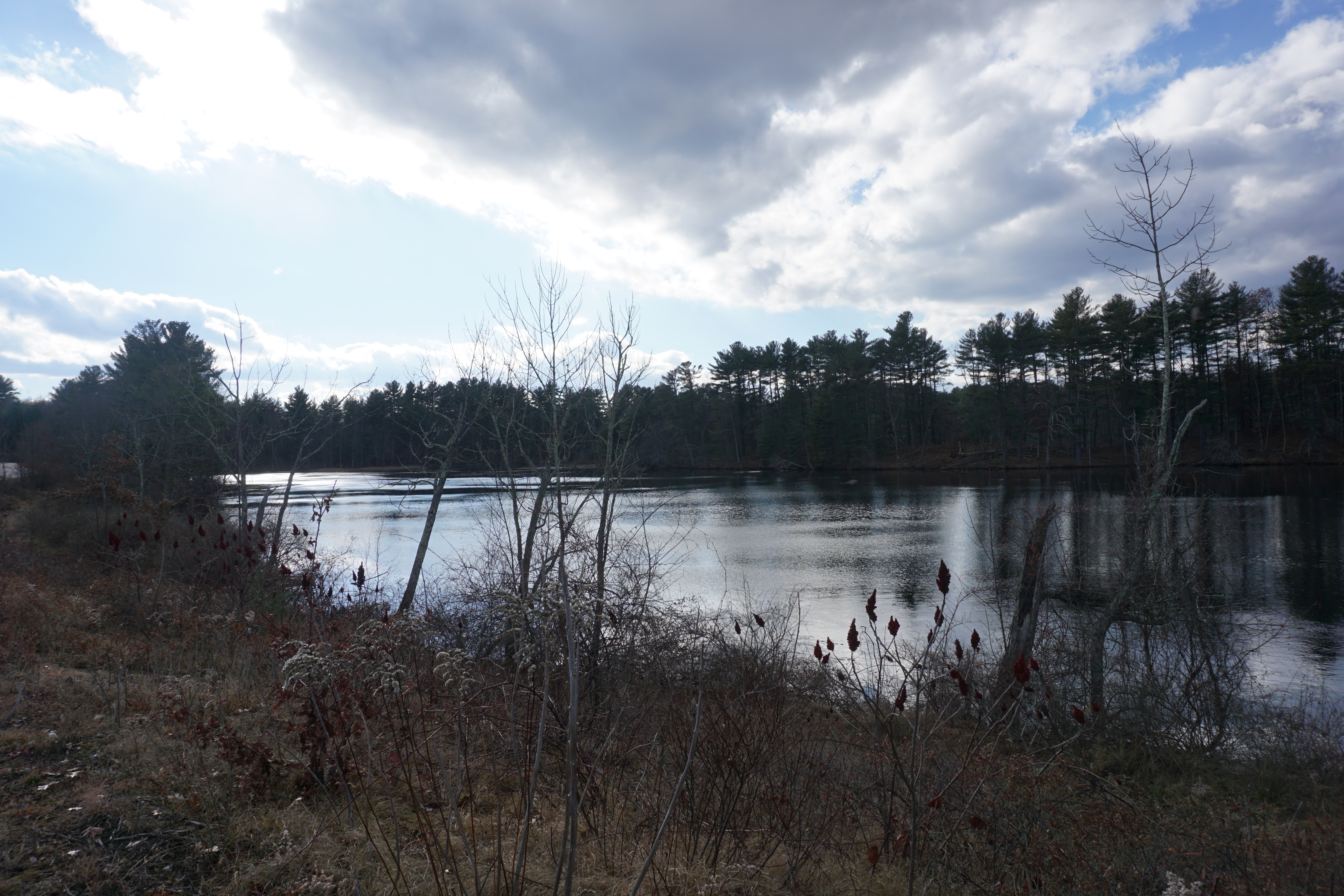 |
| Cow Pond Brook Reservoir, 2 Wilson Way |
it was on into Dunstable for my last hike in Massachusetts at the Spalding Proctor Reservation, where the path I took from Off Pond Street is shown below in pink.
According to the map, there was a path across the dam from Off Pond Street, and somehow I found it close to the private property closest to the dam, and was successful in making my way there.
It was an easy walk to the campsite area and back, although the path was right by the water at times.
Decent views of the water,
although not much at the campsite itself.
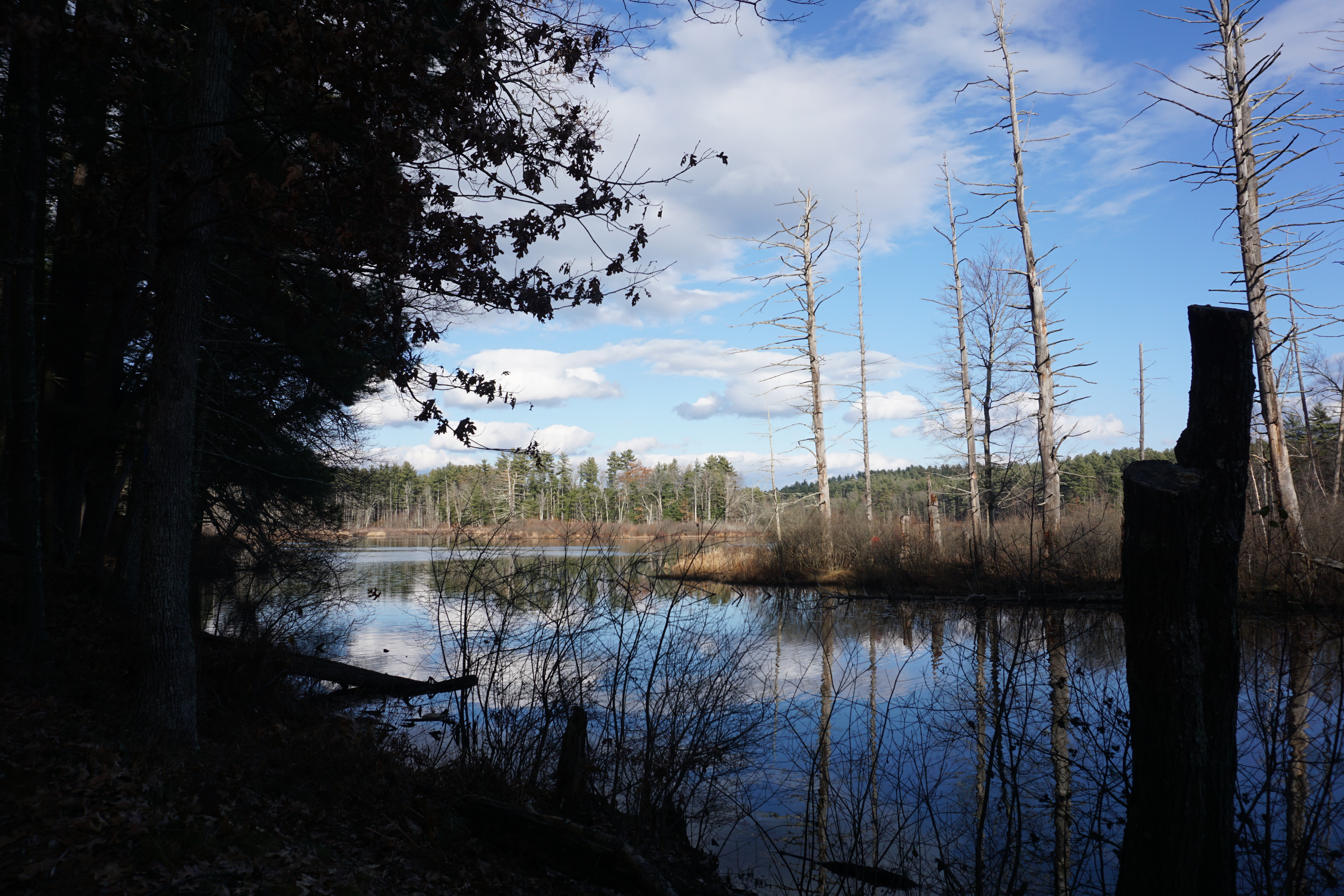
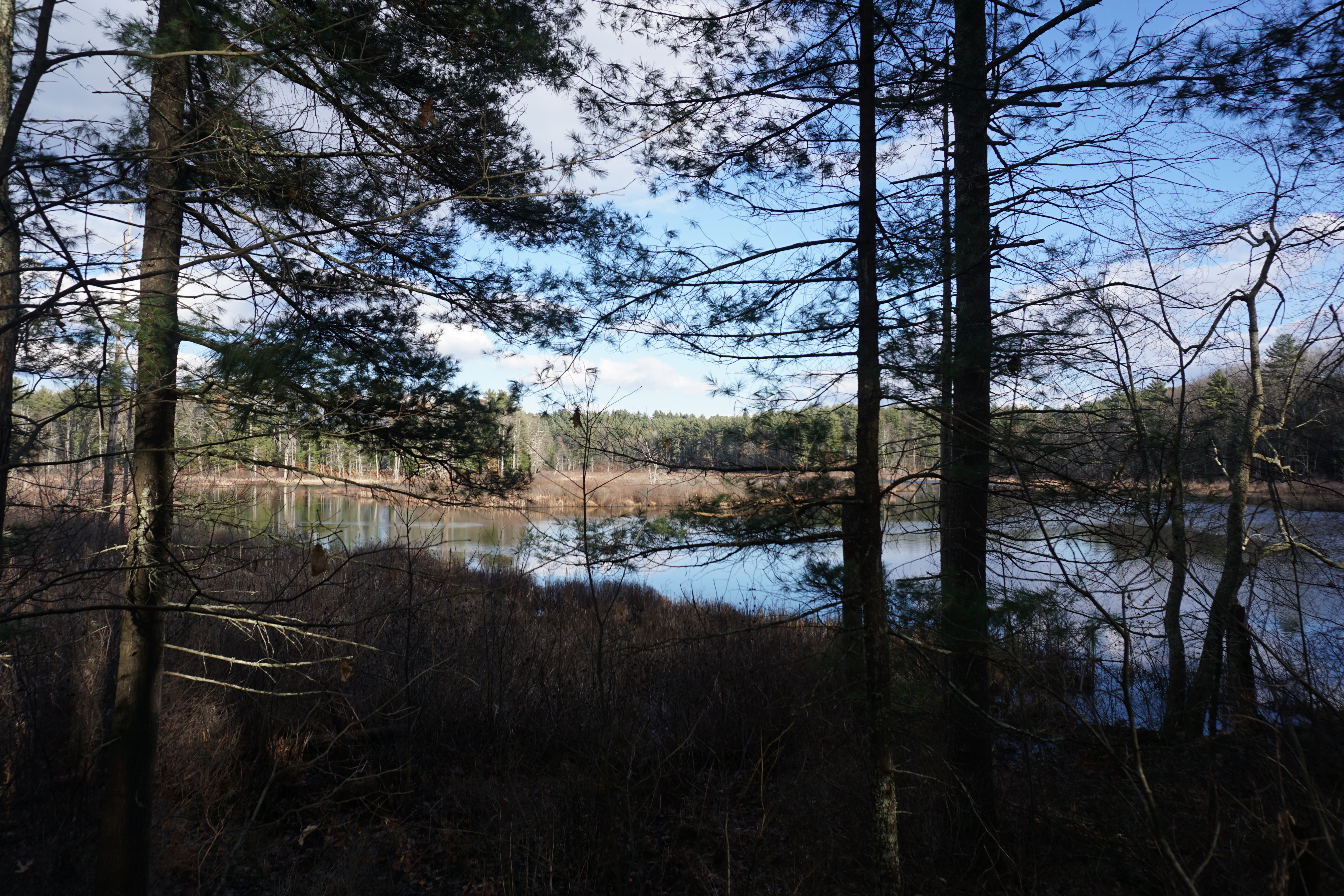
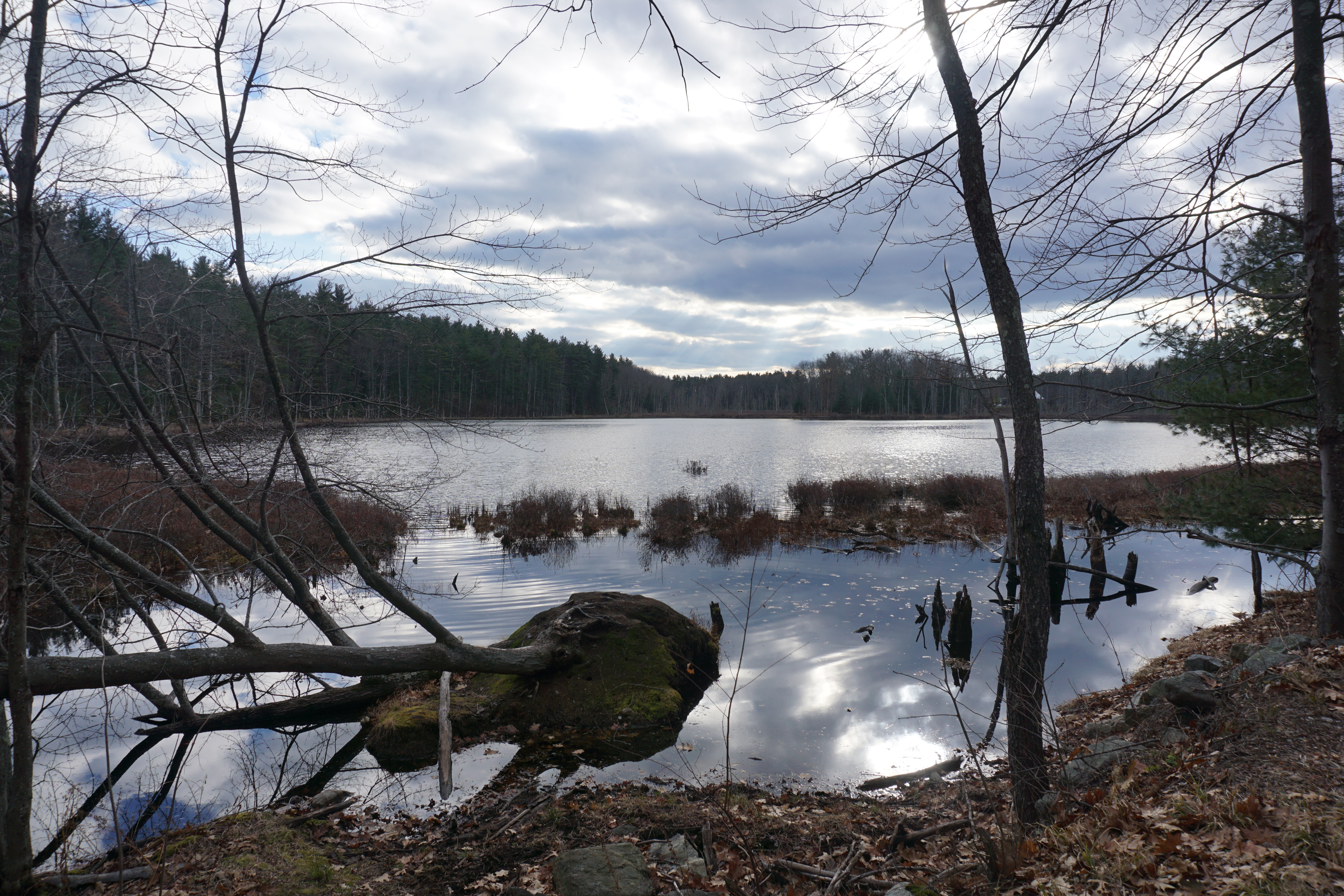
Making my way back to the car, it was finally time to head into Nashua NH, where the first spot I visited was Lovewell Pond, which I had to hike to from 11 Ridge Road. The short walk I took is shown below in pink.
Nice views of the pond for a short walk.
The next hike I went on was at the Yudicky Farm area, where the paths I took to get to the water bodies are shown below in pink.
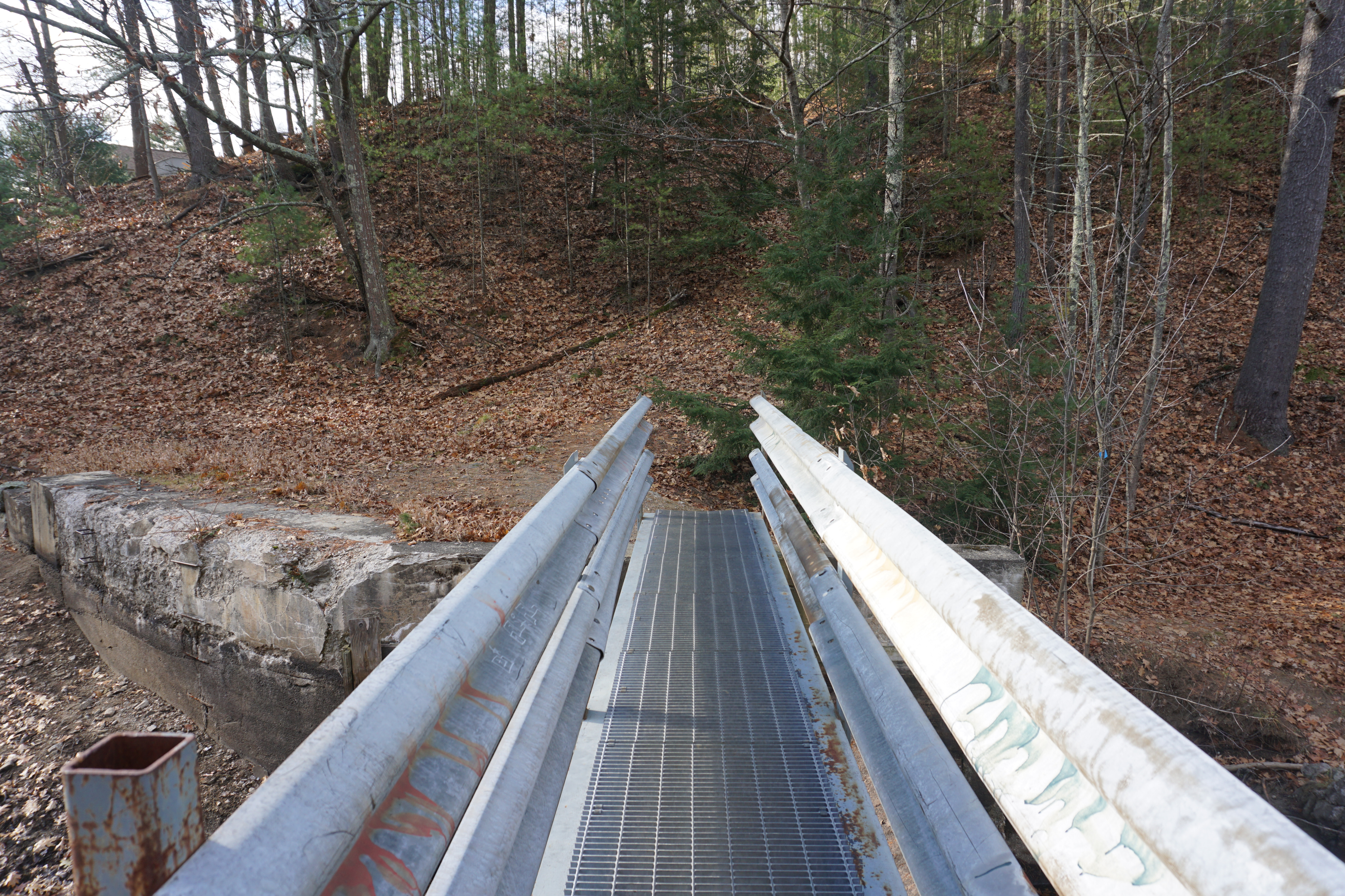
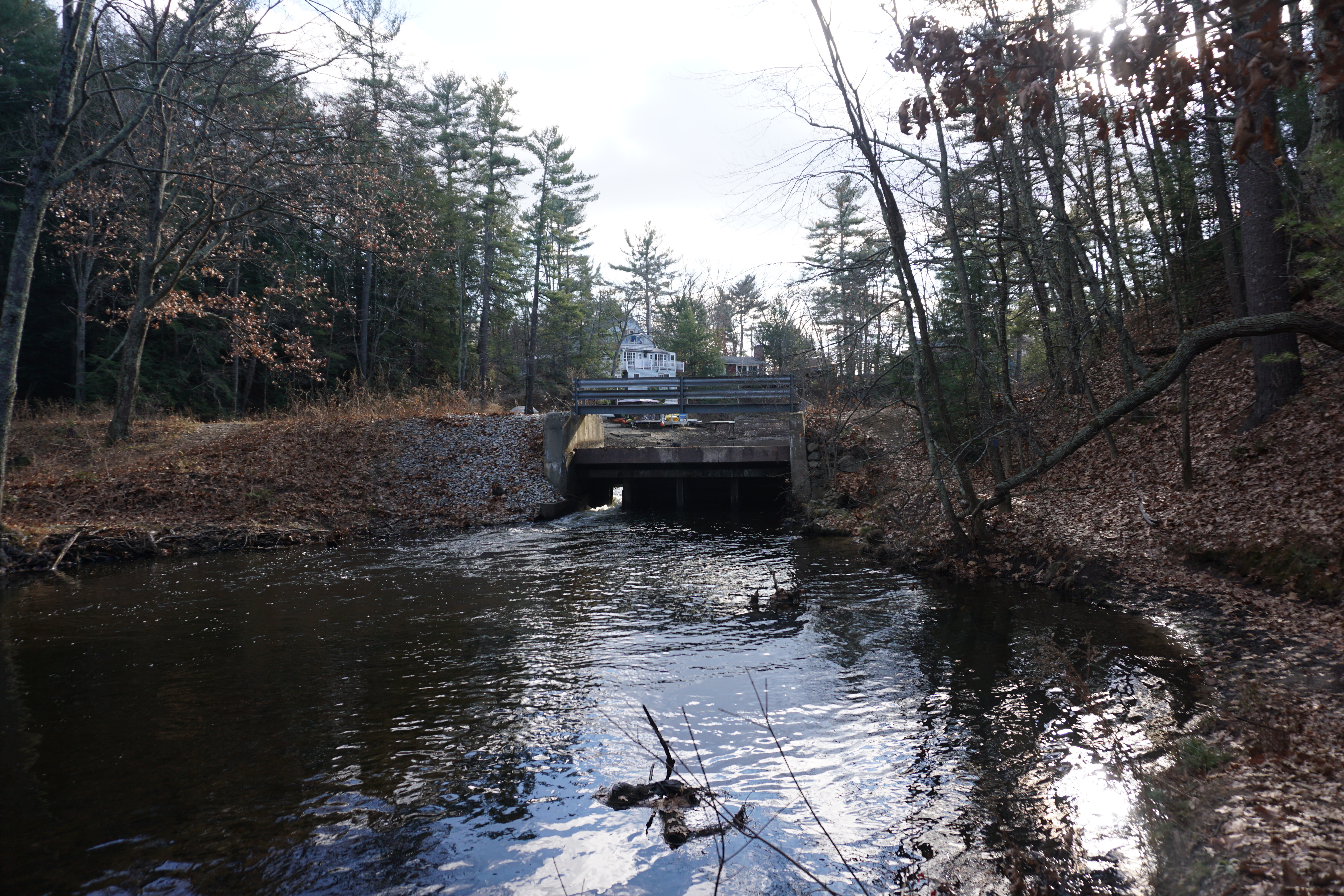
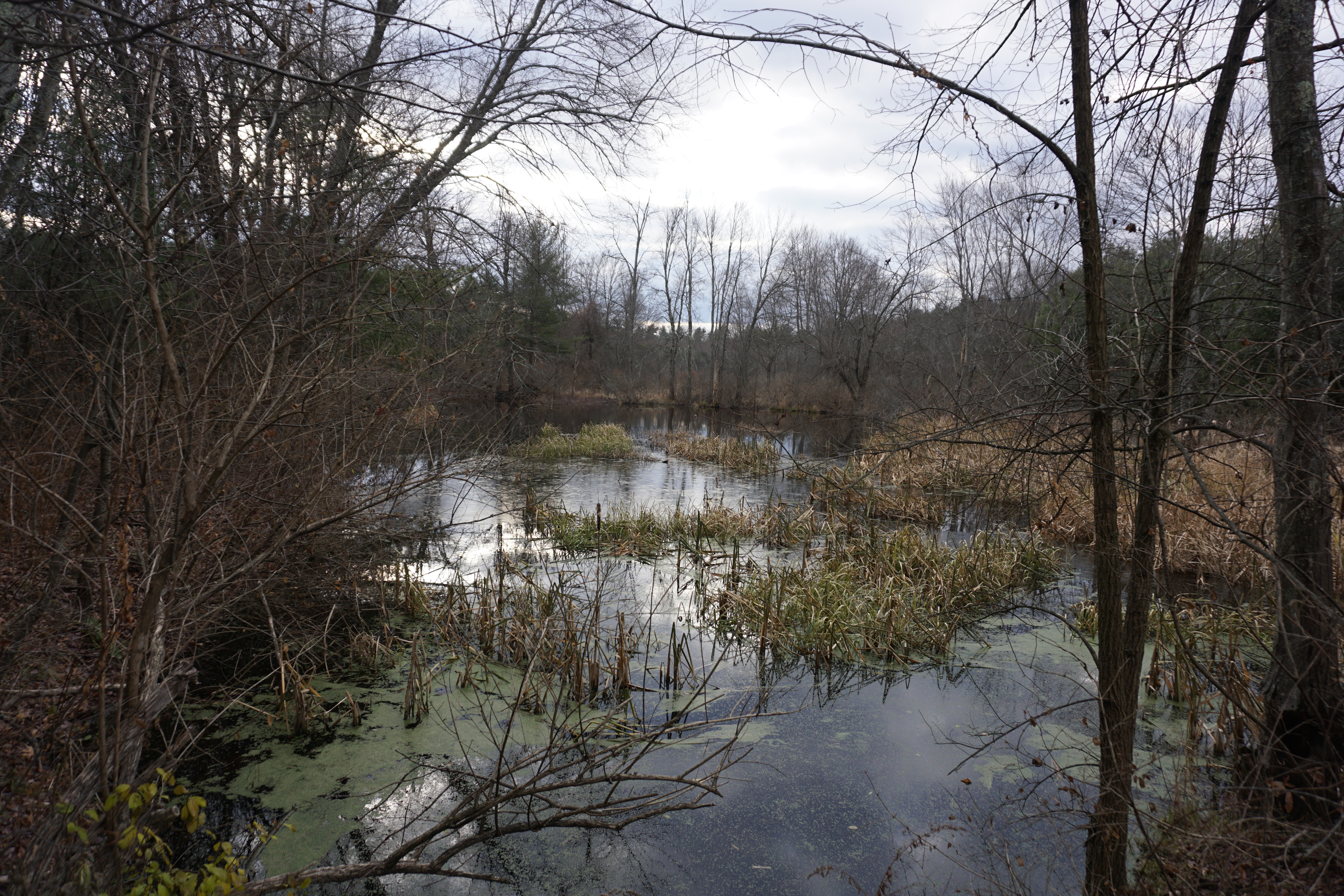
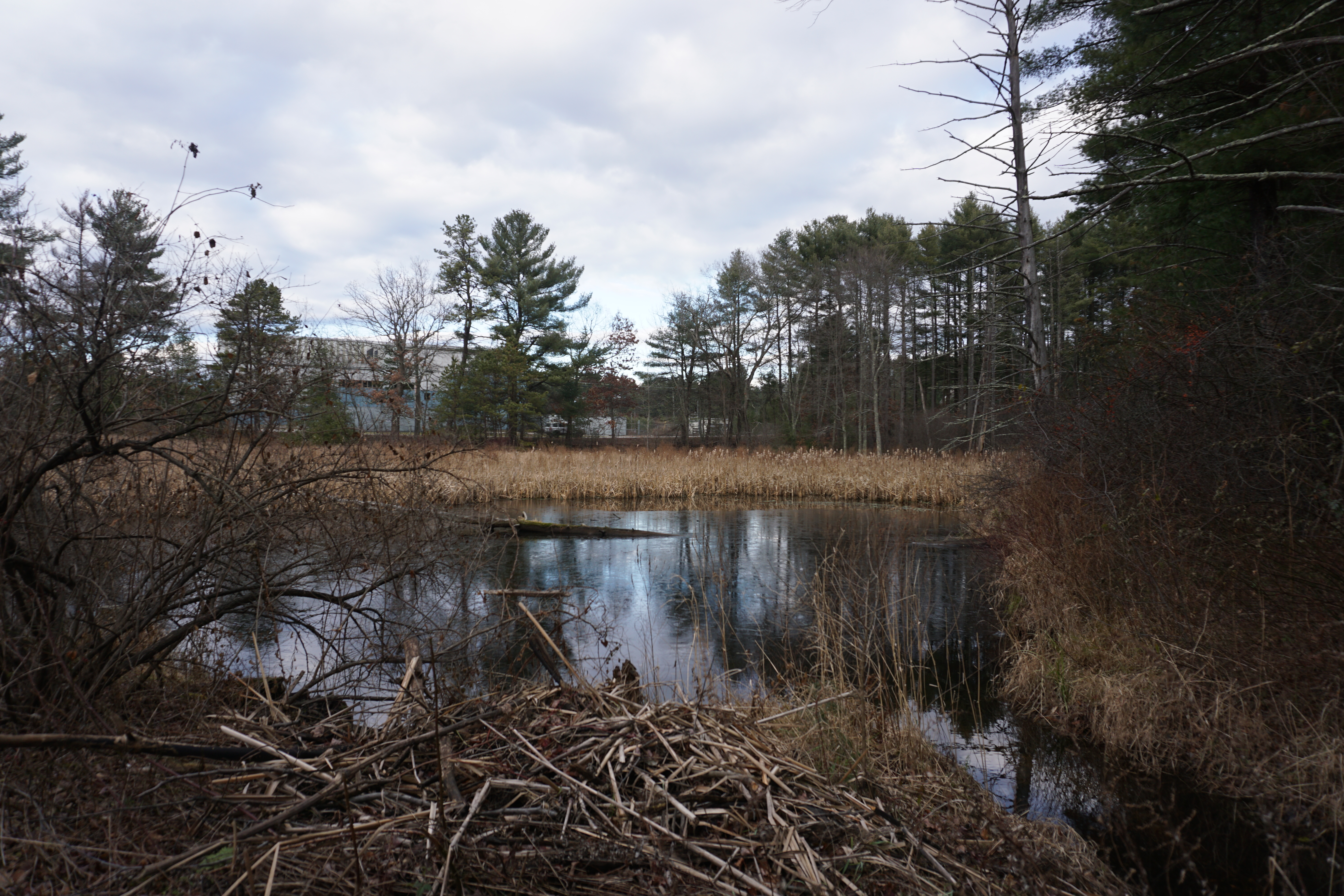
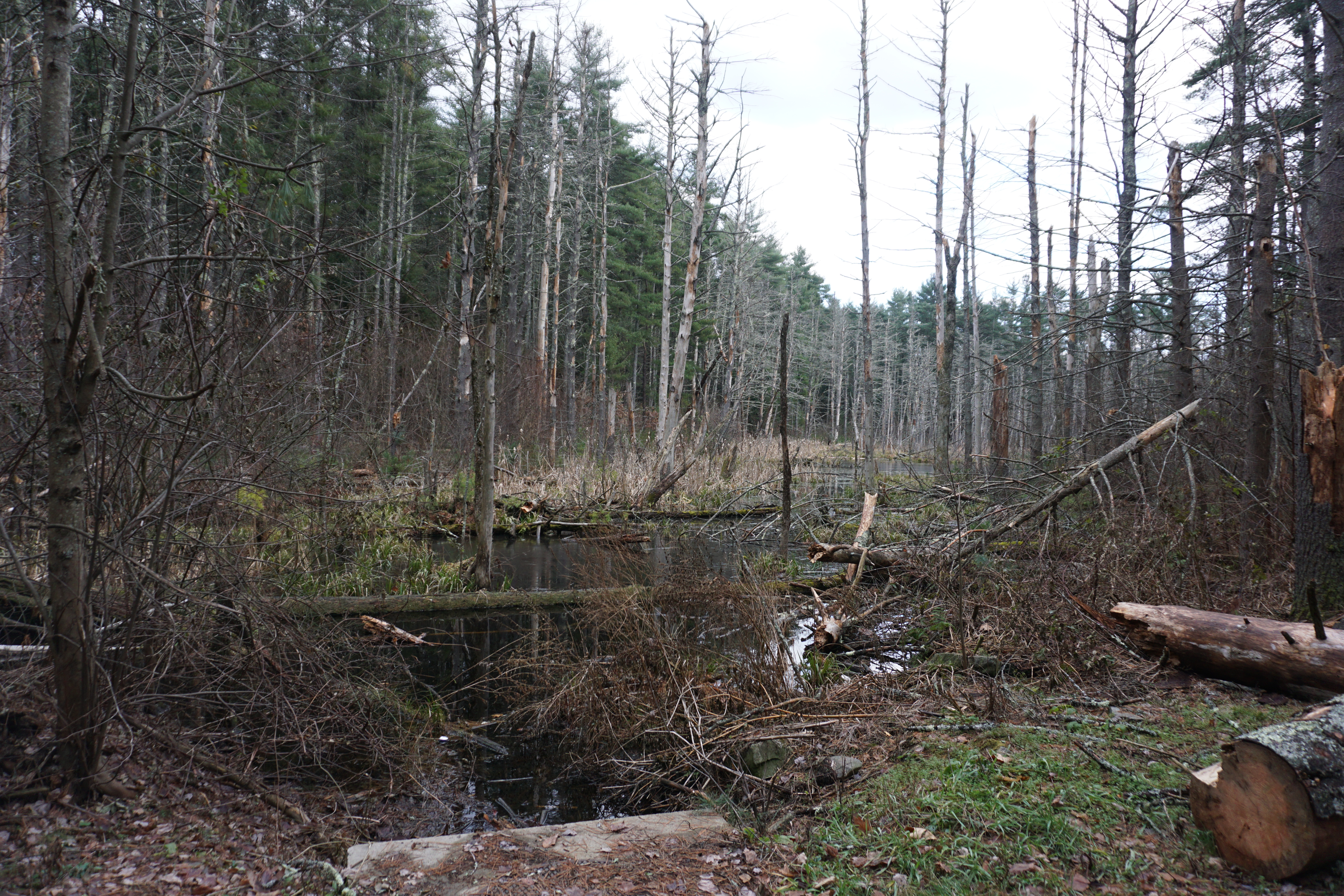
The paths were not really defined, but somehow I managed to make my way to the beaver dam, which wasn't really much to look at.
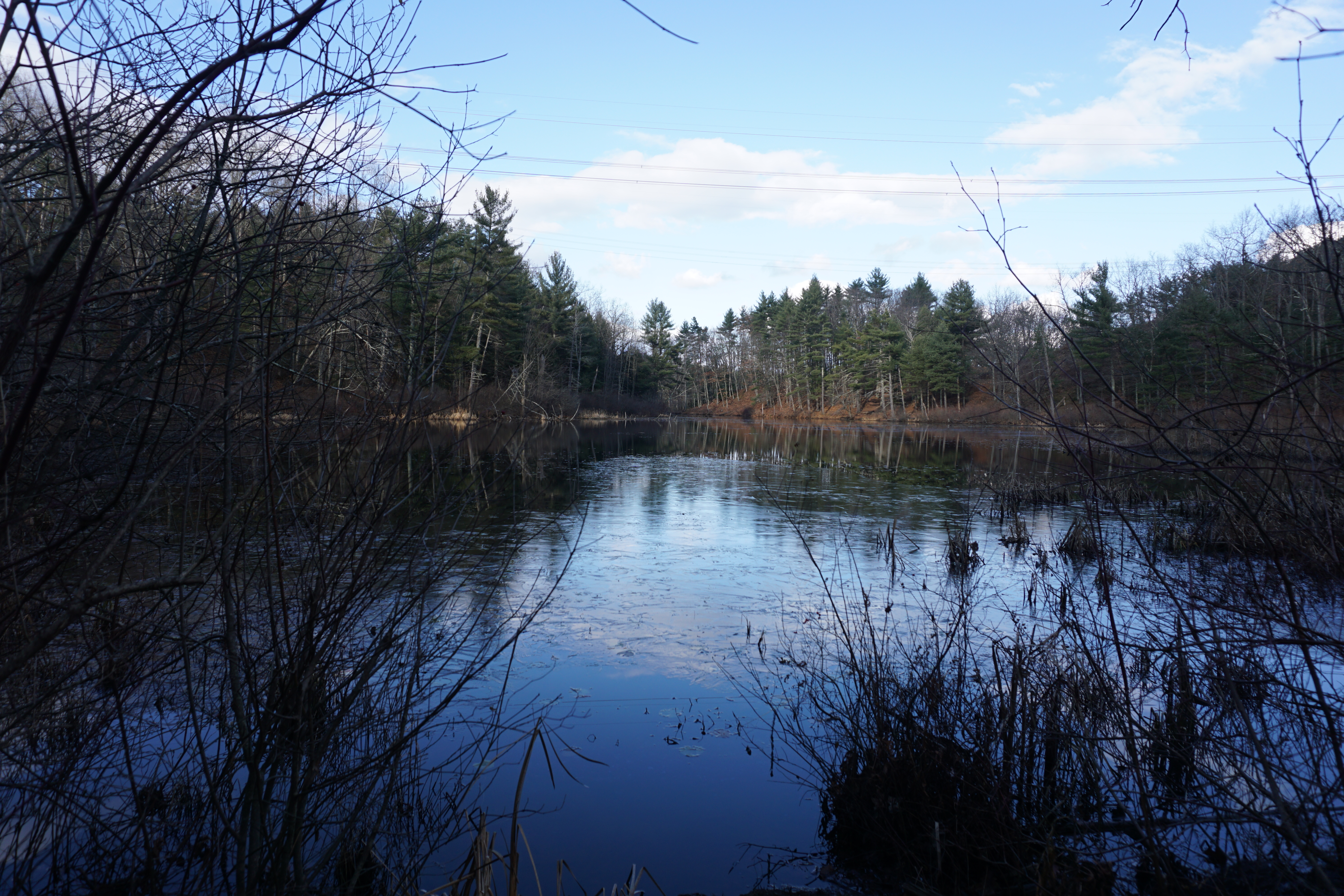
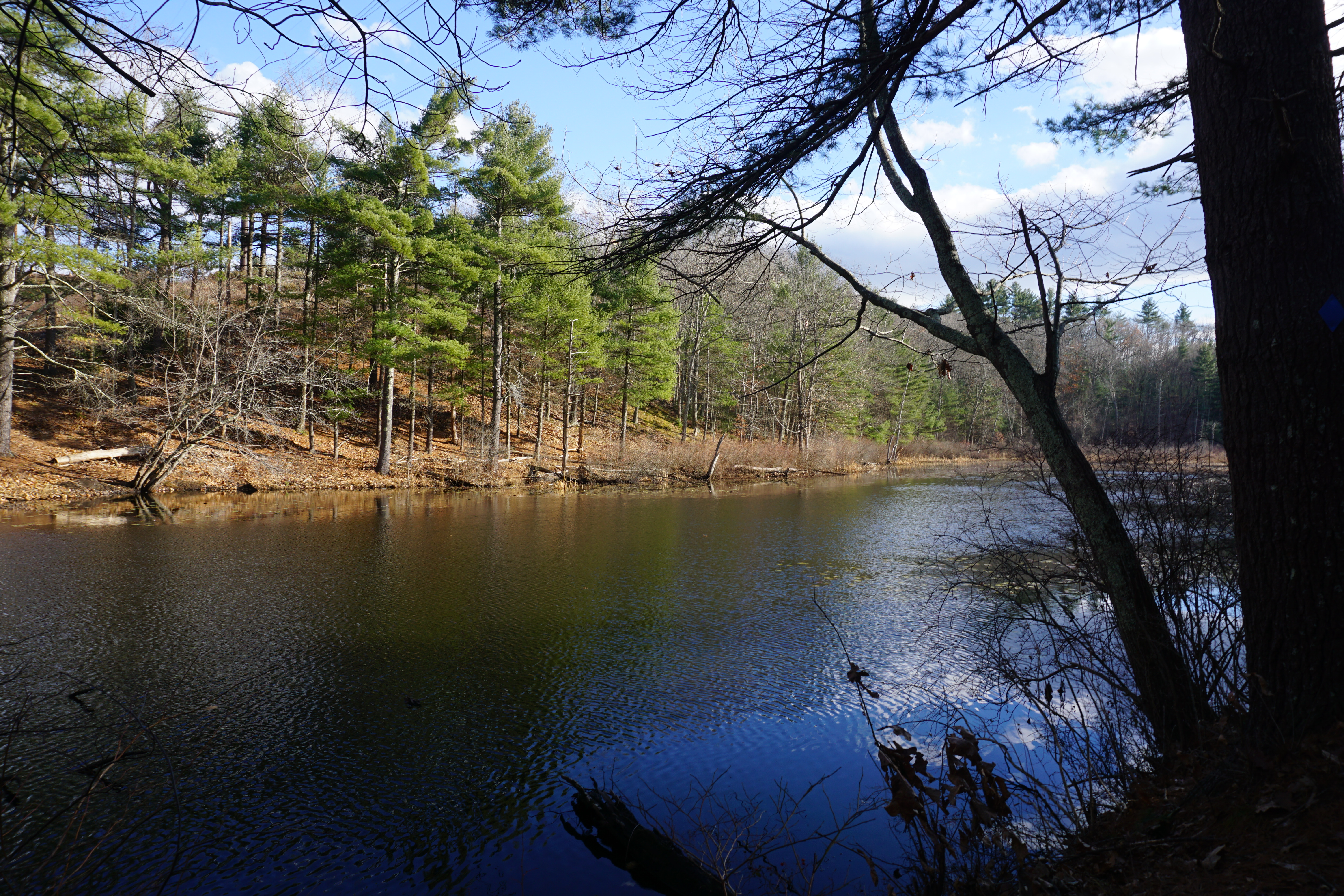
I made my way back using the road, then went to the Tanglewood Drive area to check out the other water body. Nothing much here either.
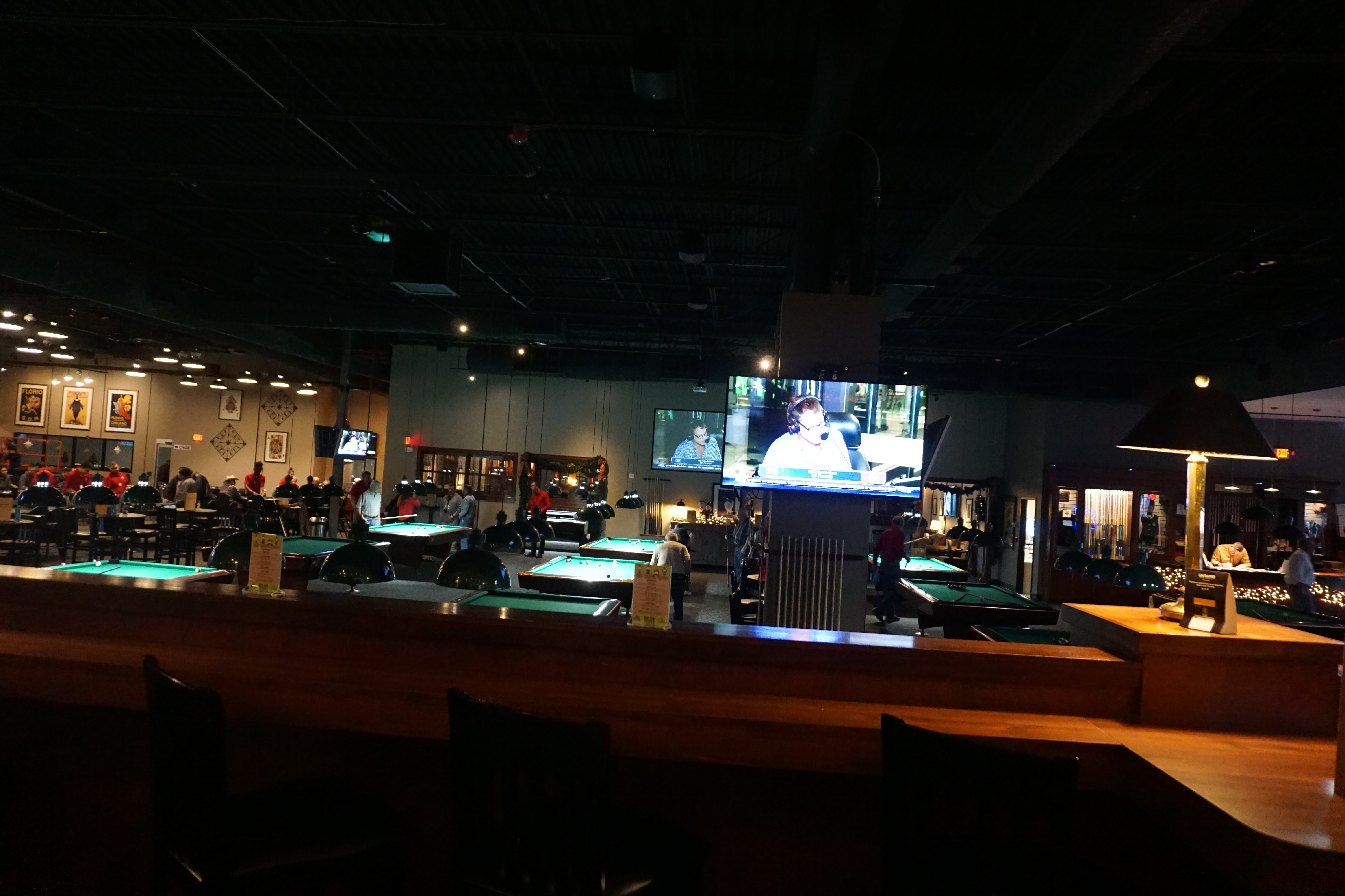
At this point, I was feeling really hungry, so I decided to stop by the Boston Billiard Club and Casino in town,
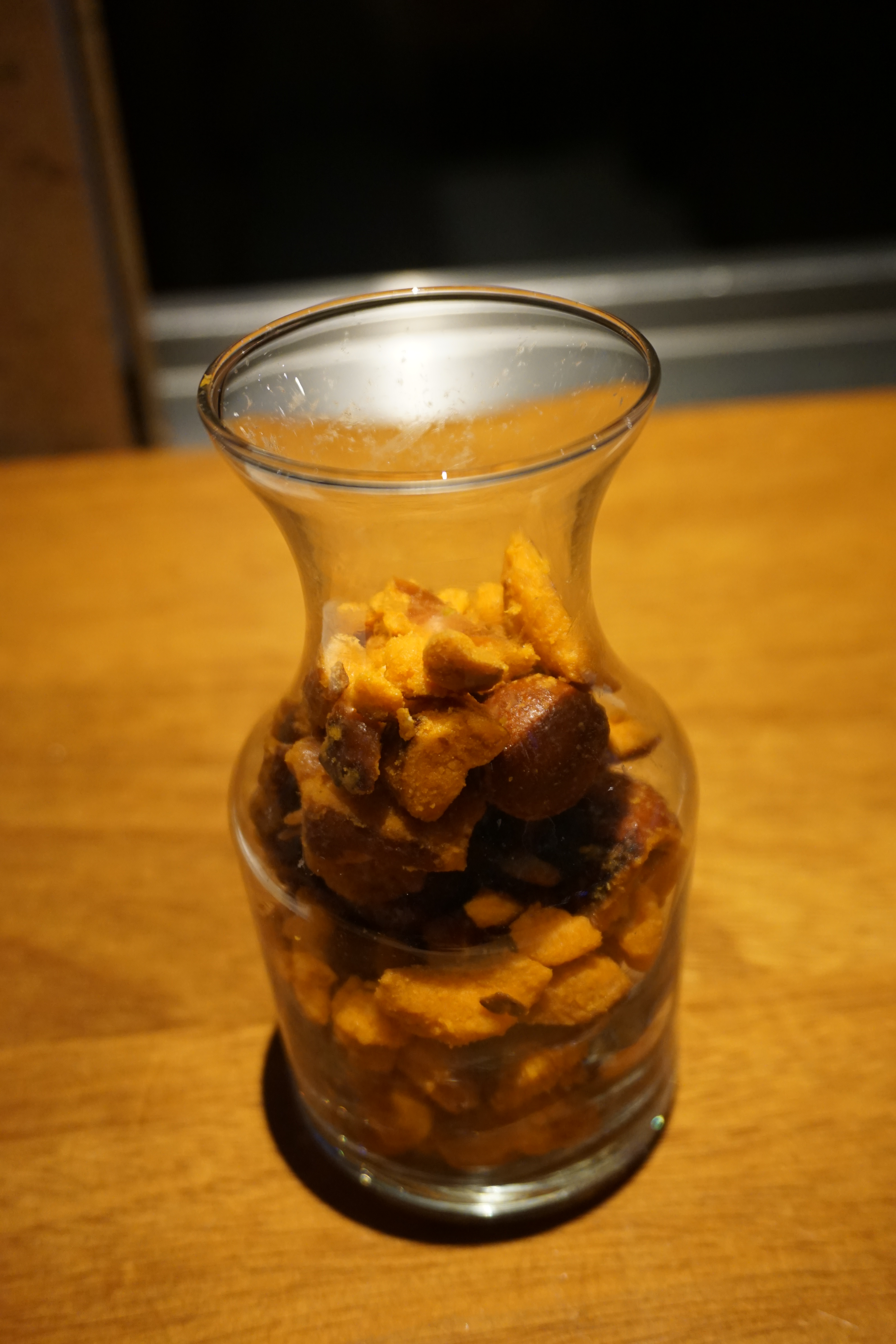
which also has a bar area with eats, including complimentary buffalo pretzels.
I got the Pulled Pork Burger (served on a brioche bun with jalapenos, melted cheddar and onion strings),
which was pretty delicious, considering I was extremely hungry, although the spicy jalapenos were a bit much at times.
After my meal, I visited several other places in town
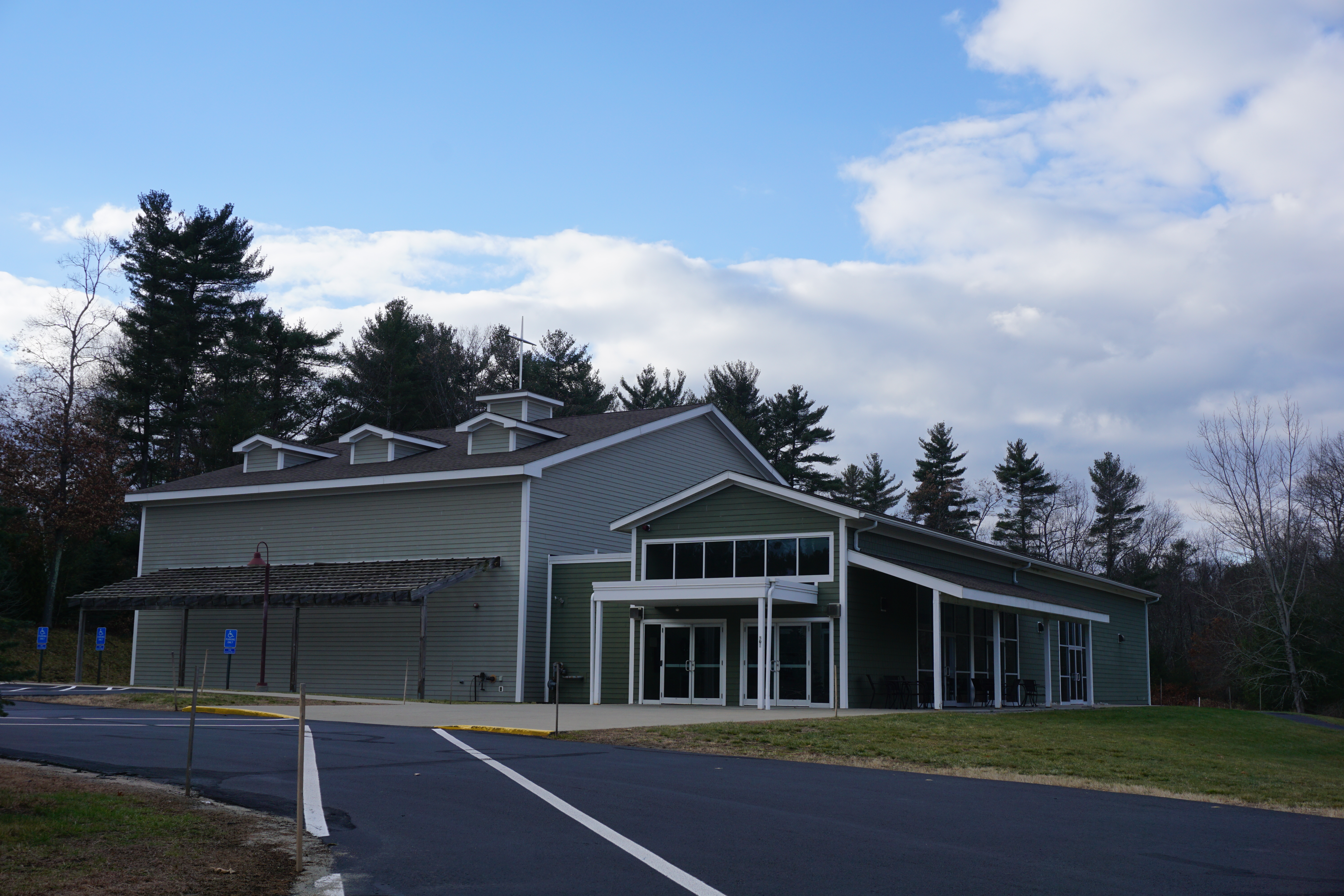 |
| Crossway Christian Church |
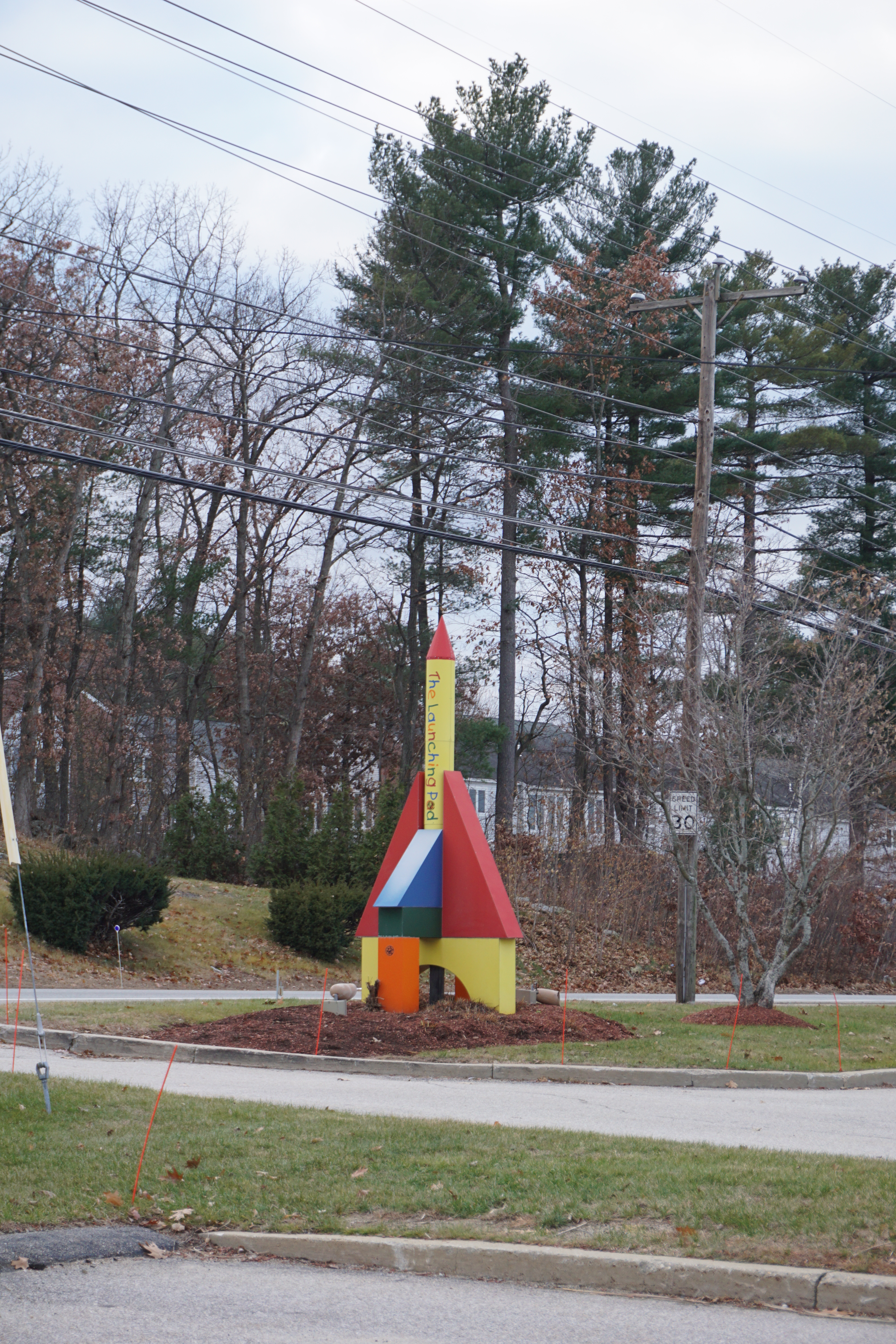 |
| The Launching Pad |
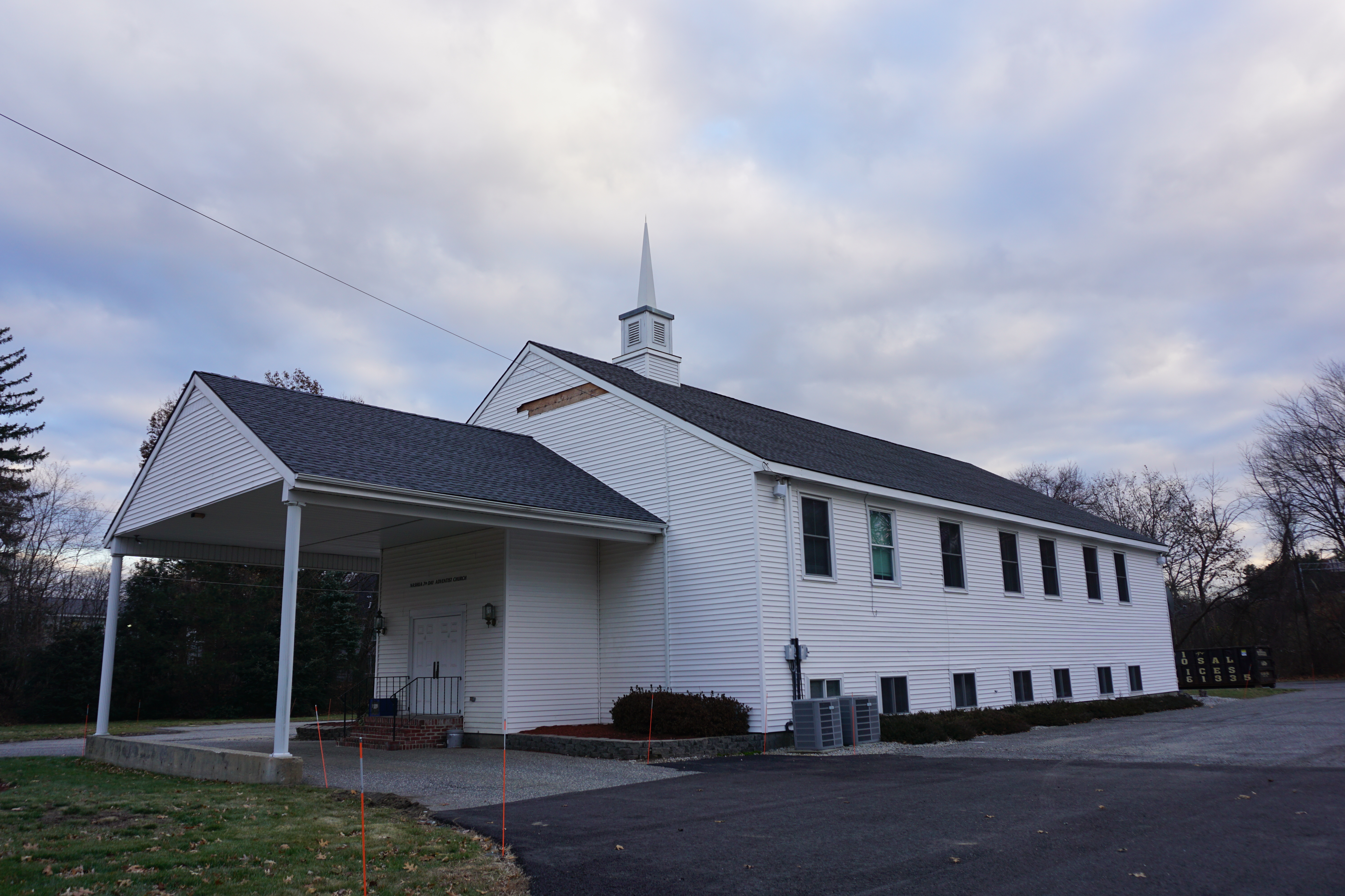 |
| Seventh Day Adventist Church |
 |
| Holocaust Memorial |
 |
| Whitney Professional Building, 1 Prospect Street |
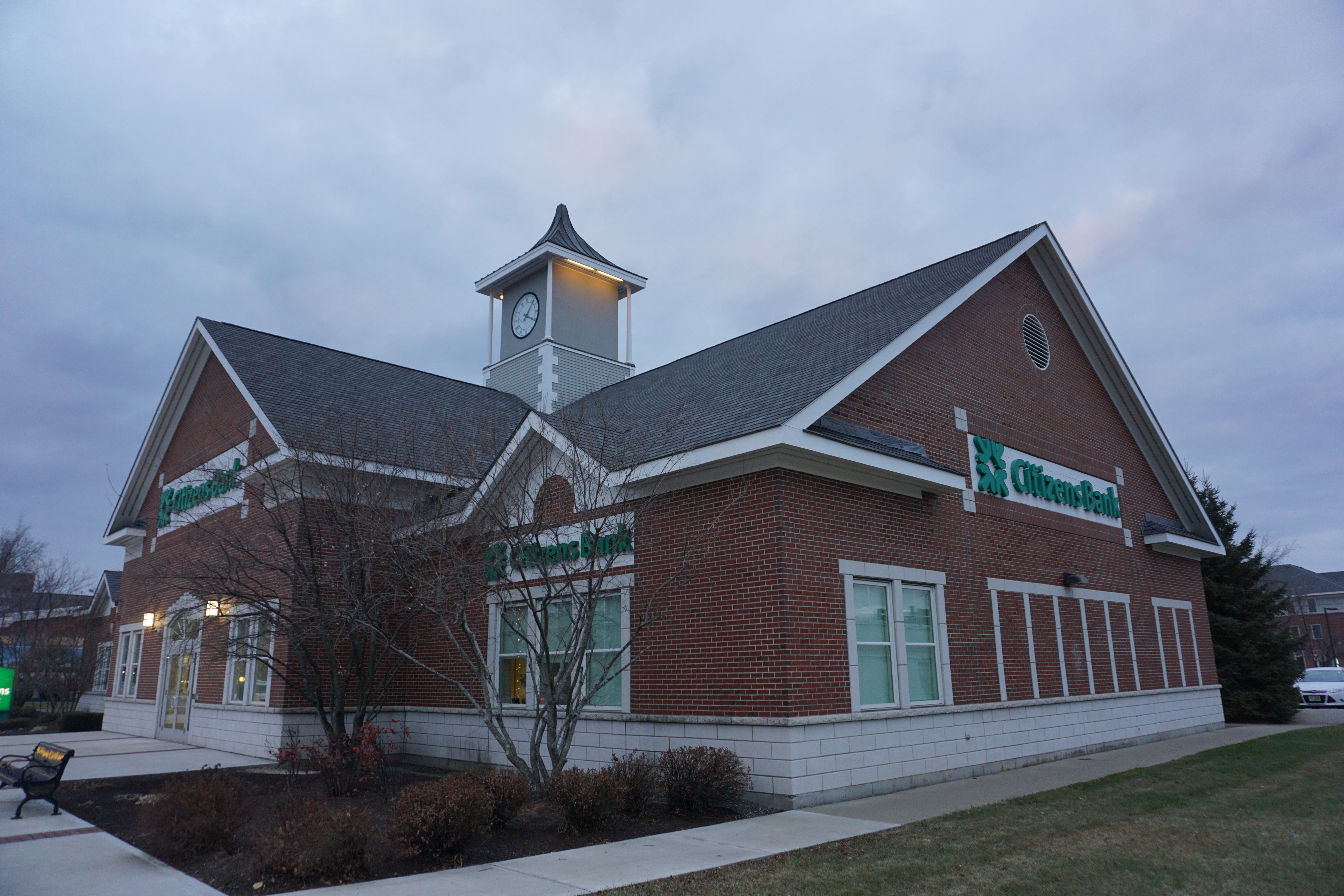 |
| Citizens Bank, 238 Main Street |
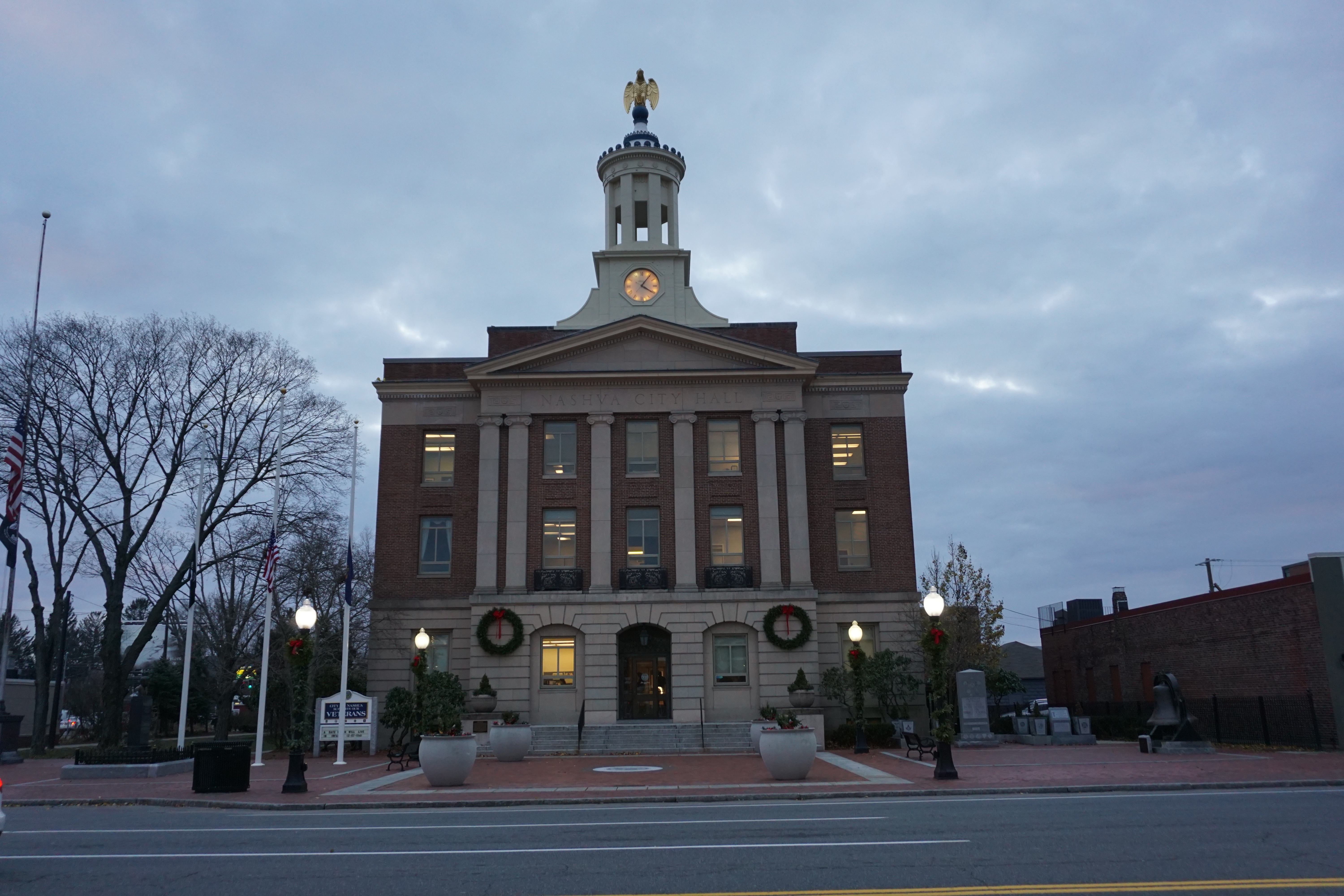 |
| City Hall, 229 Main Street |
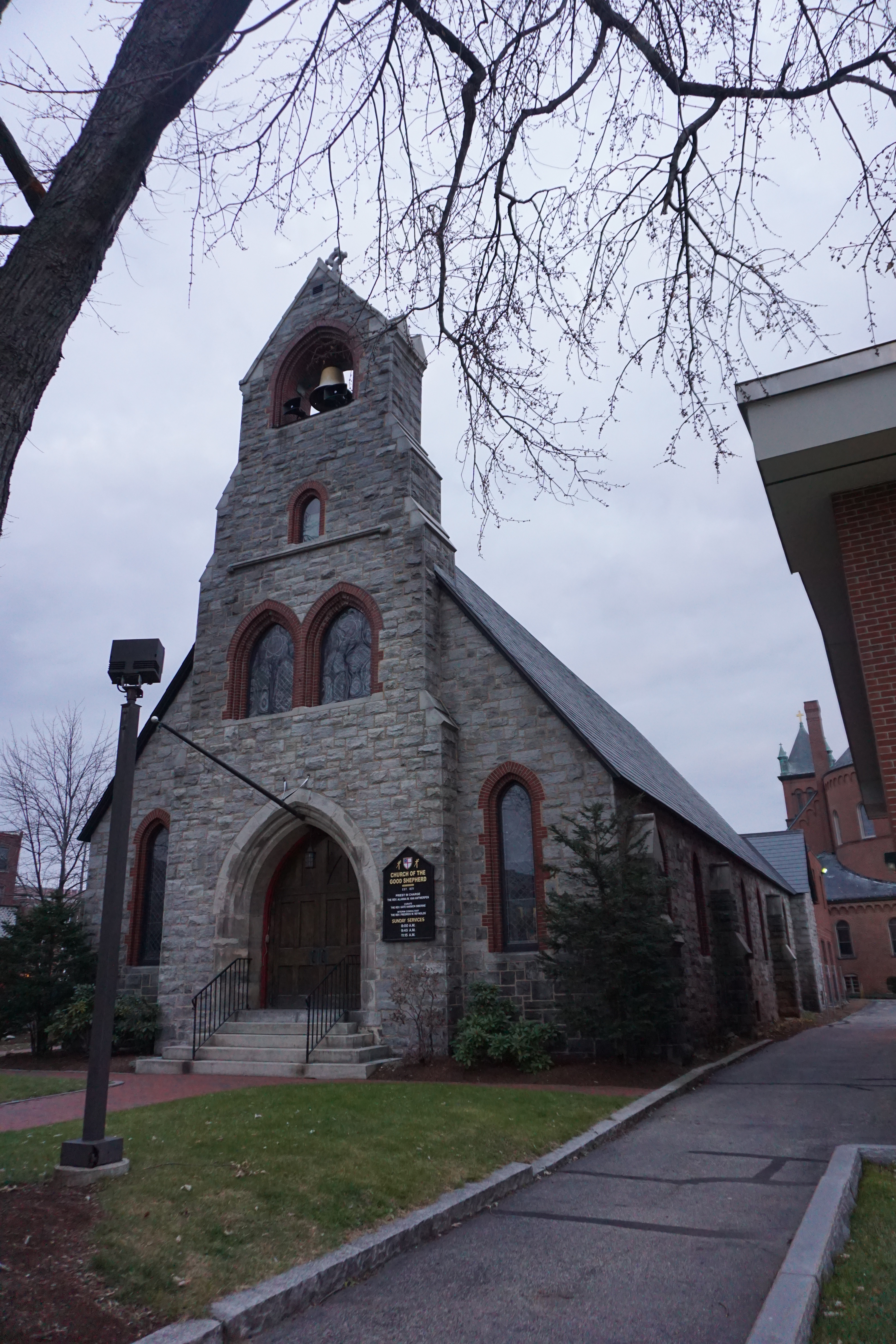 |
| Church of the Good Shepherd |
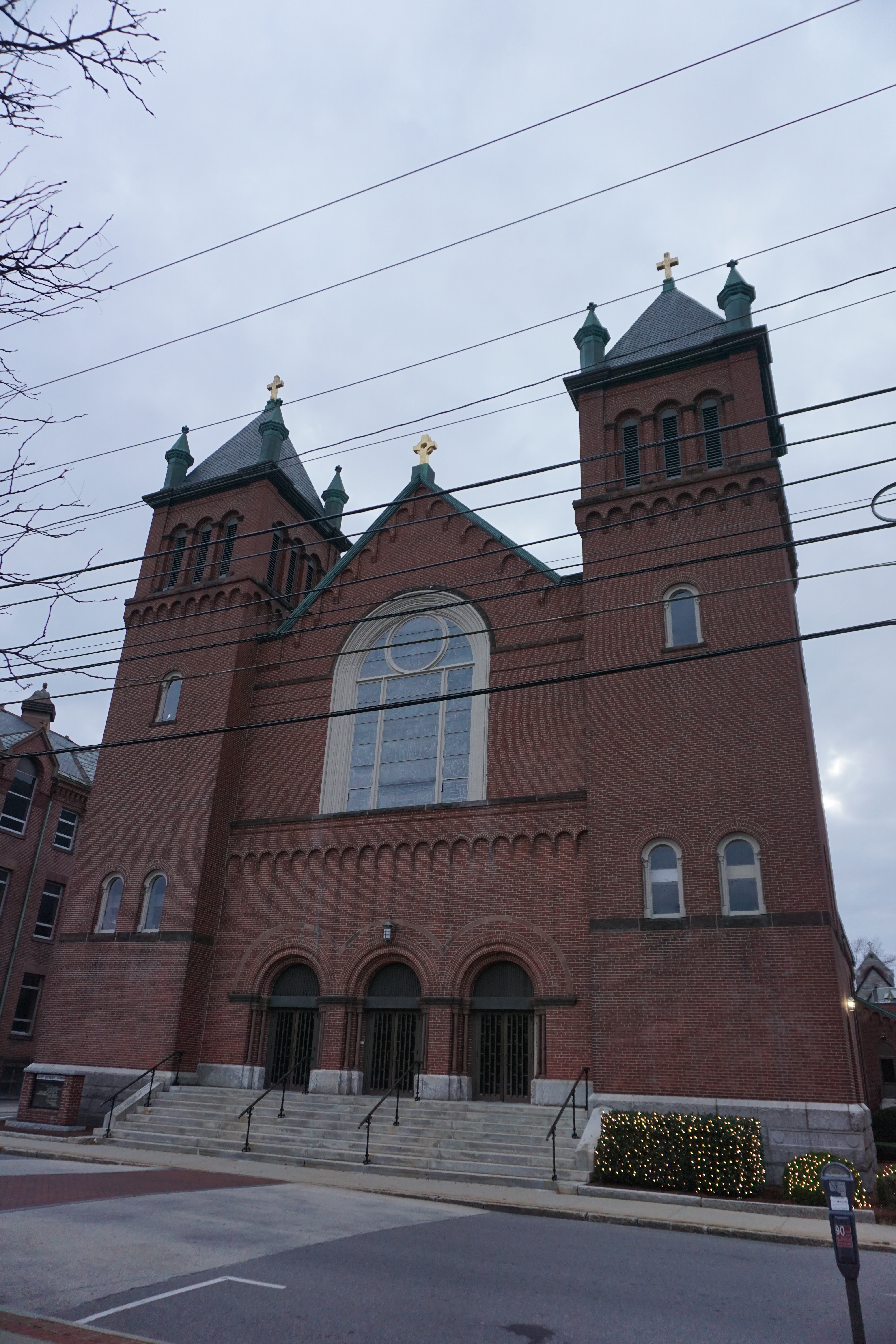 |
| St. Patrick's Church |
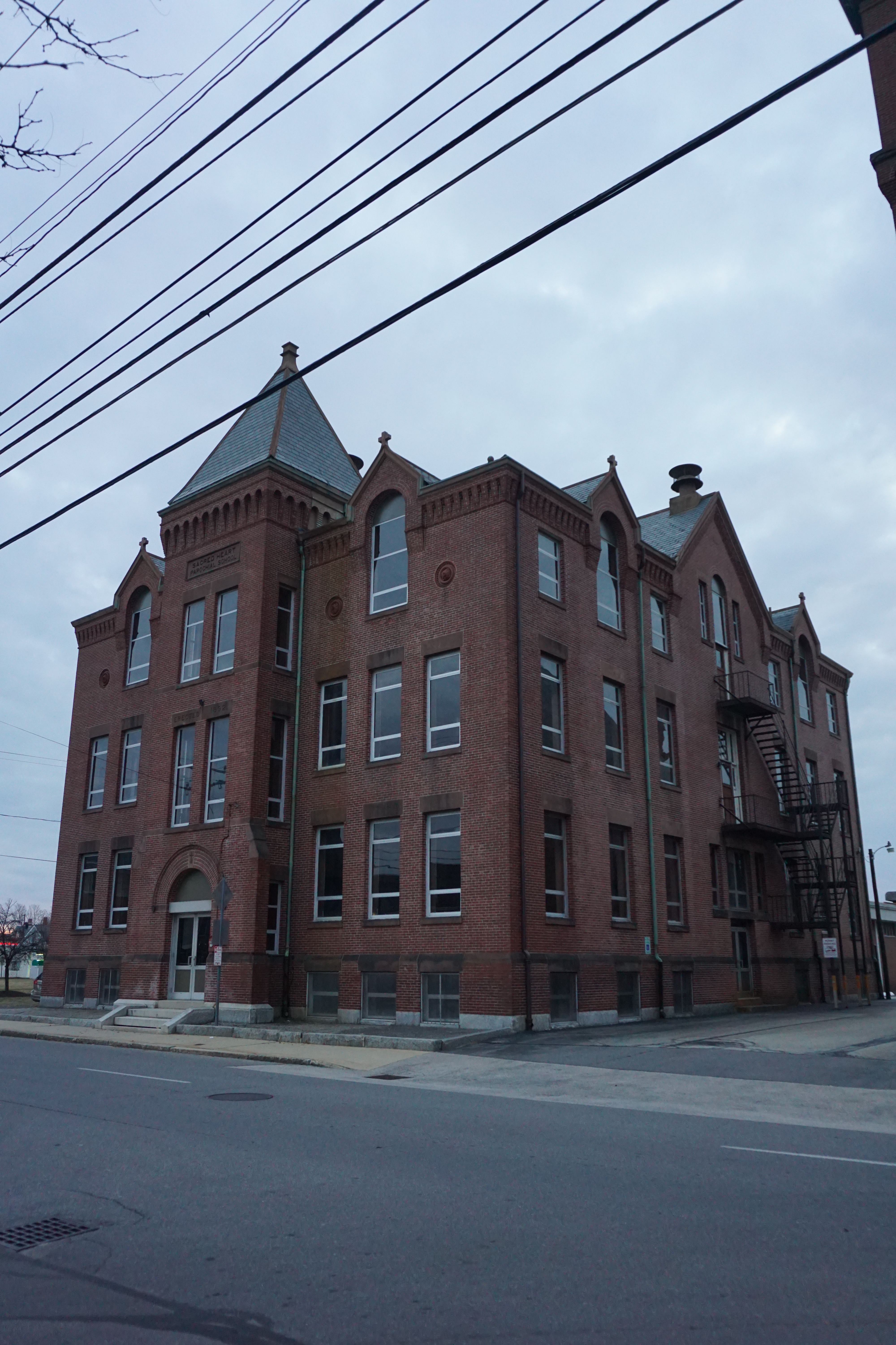 |
| Old Sacred Heart Parochial School, Spring Street and Eldridge Street |
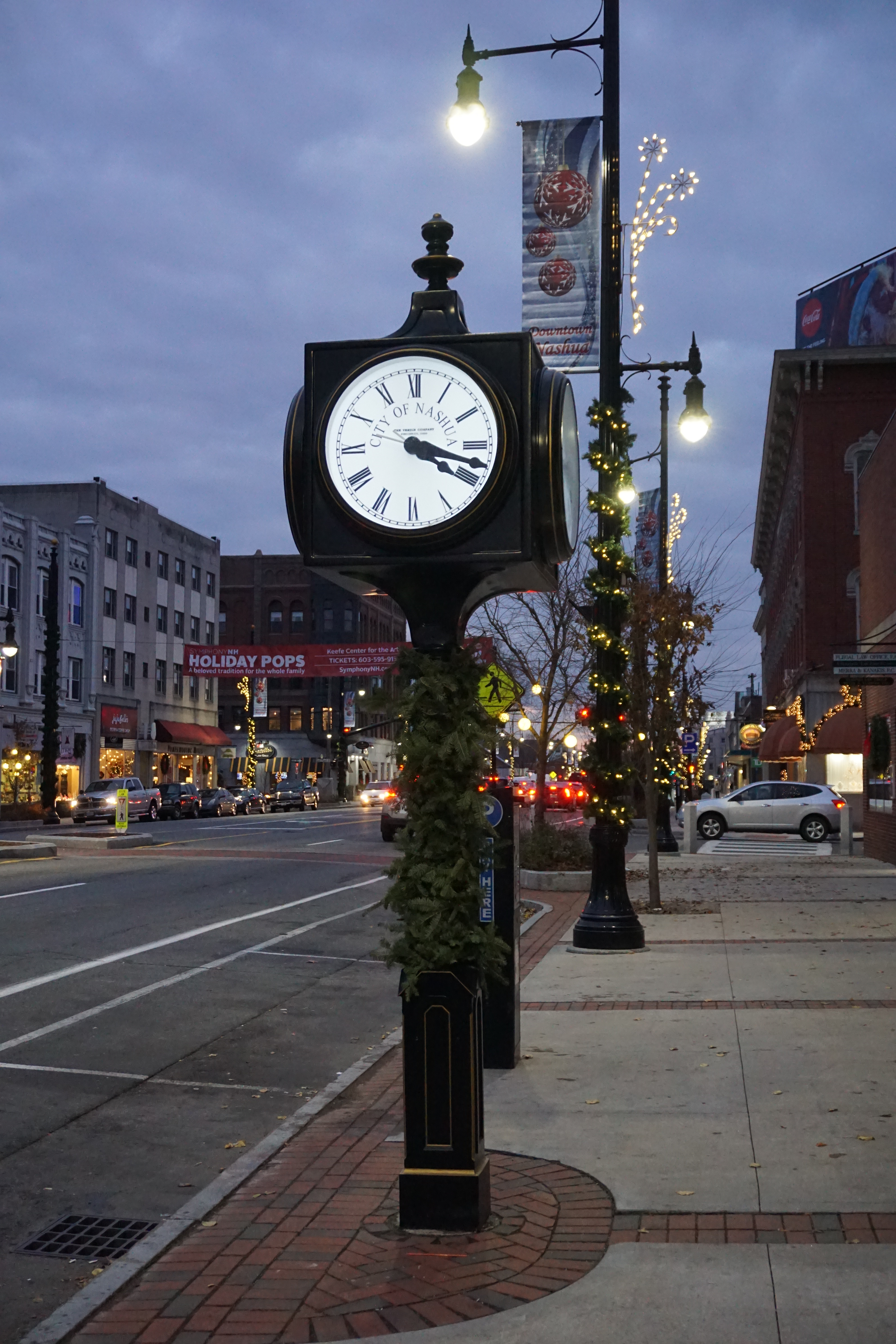 |
| Town Clock, 153 Main Street |
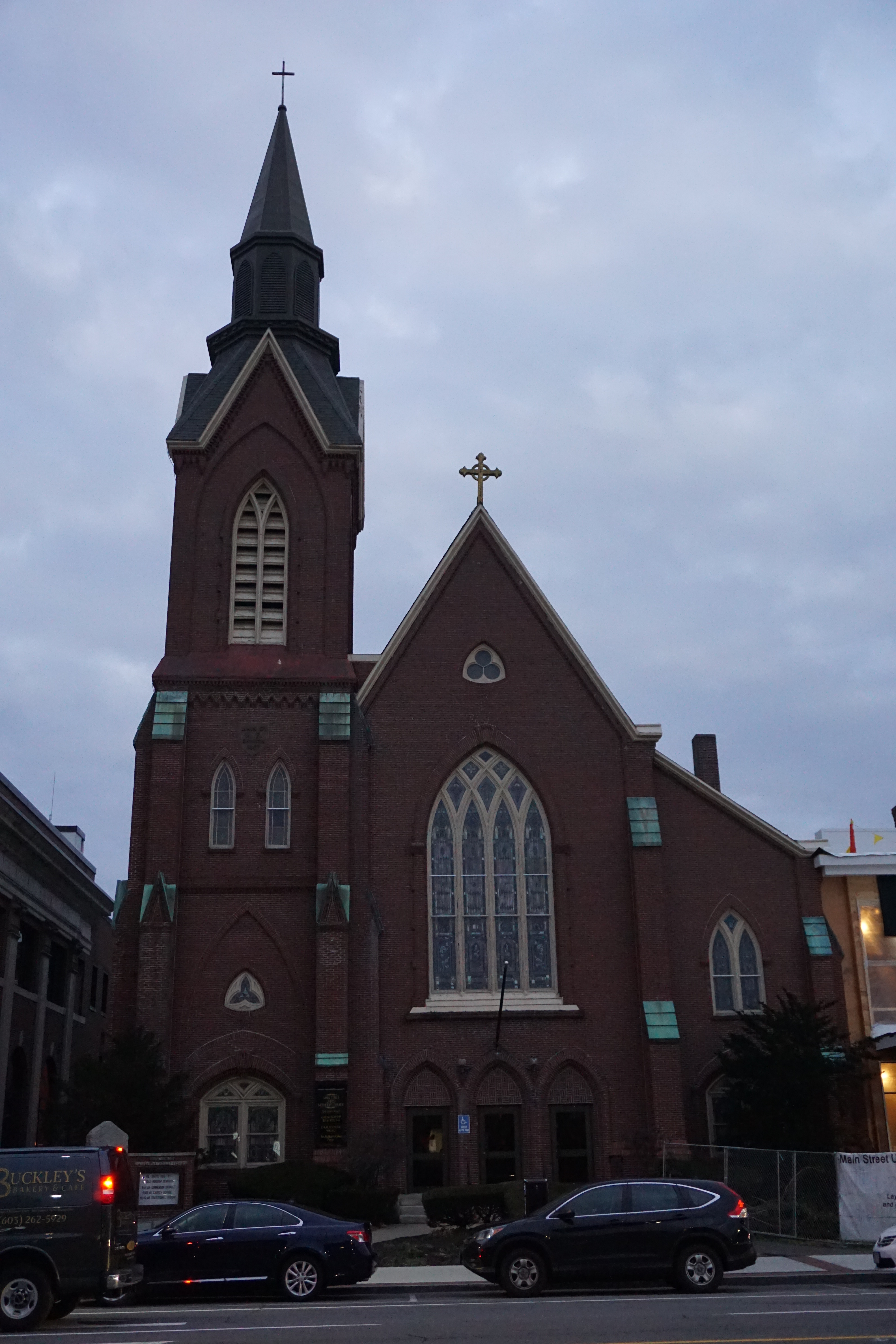 |
| Main Street United Methodist Church |
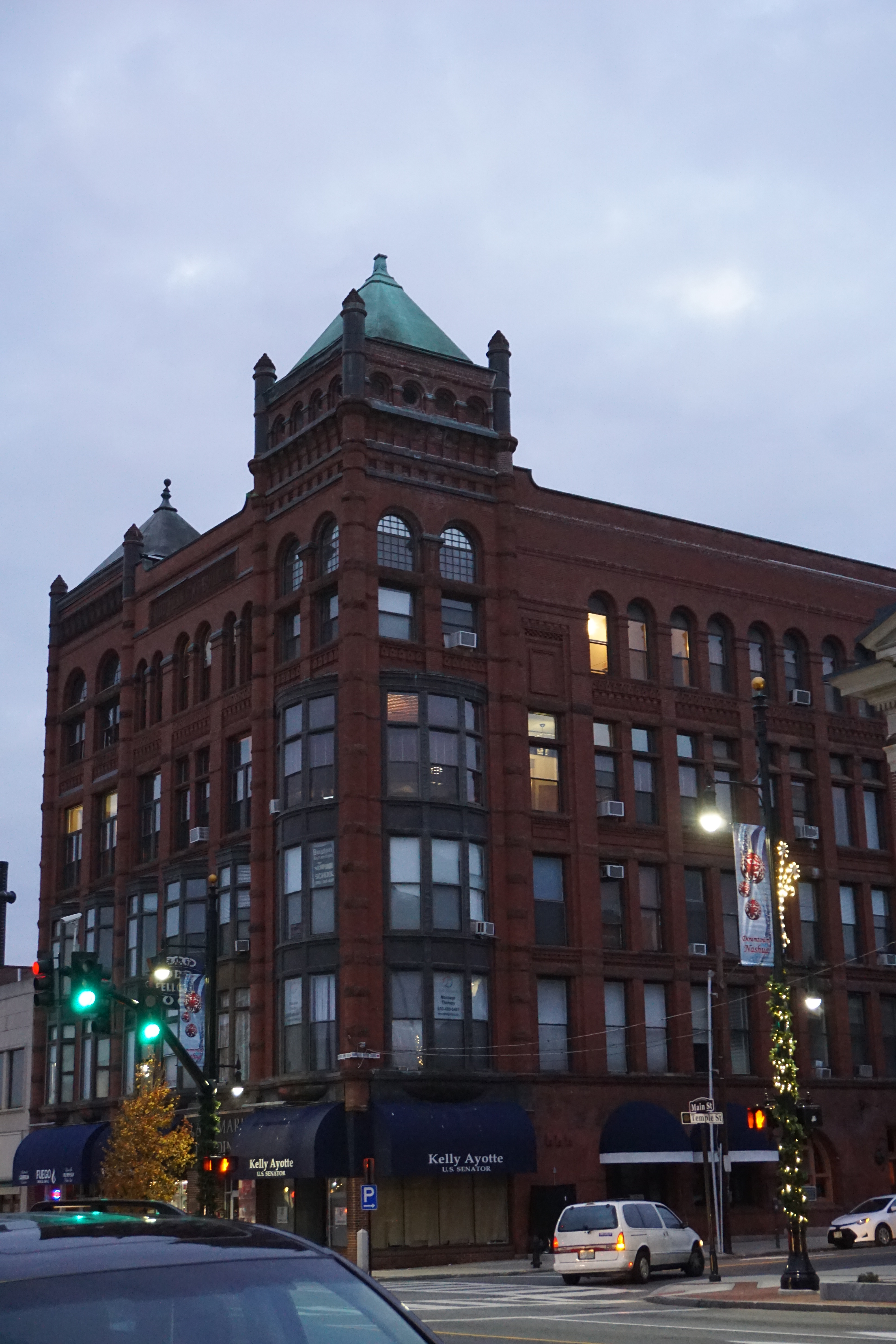 |
| Landmark Building, 142 Main Street |
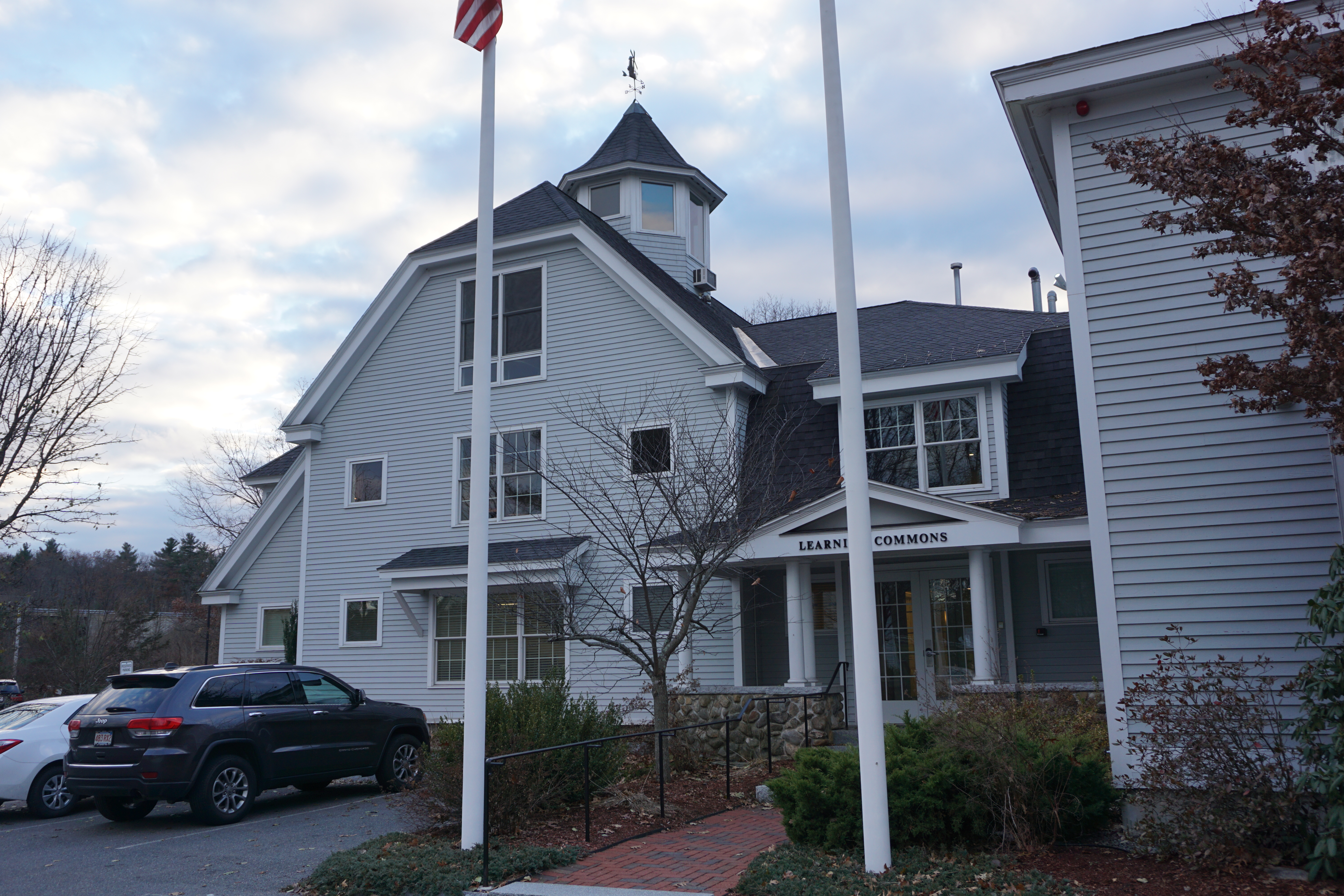
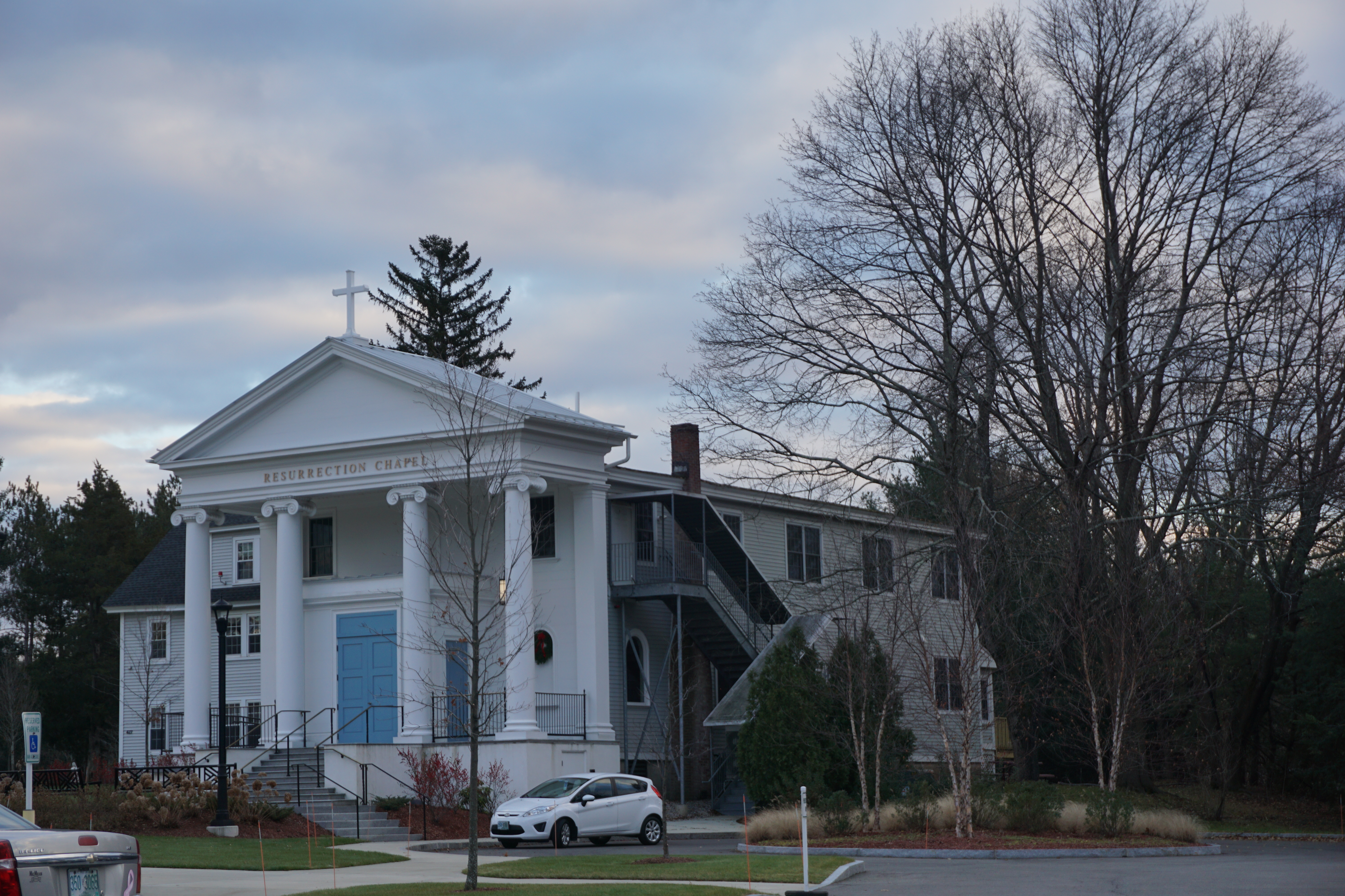
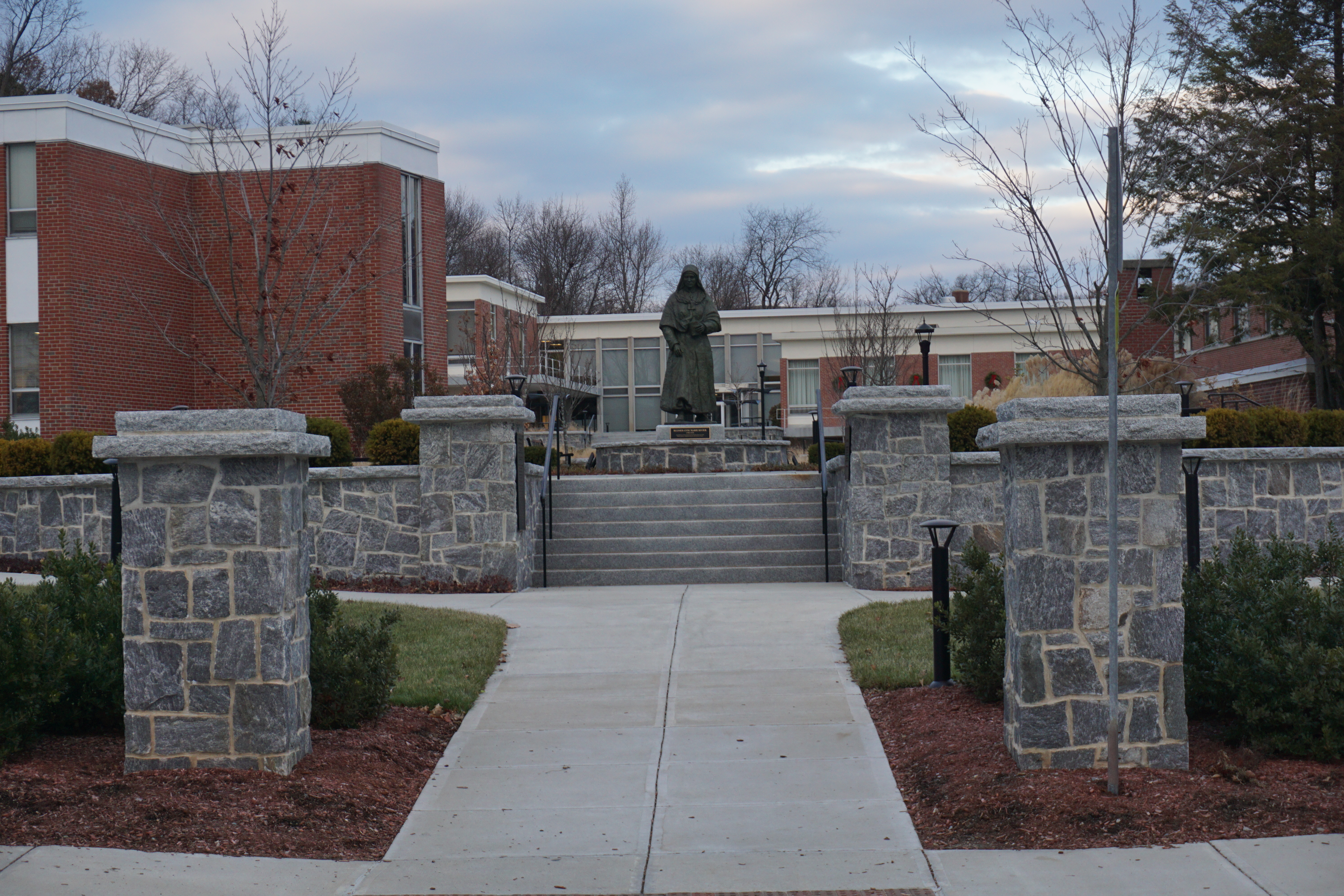
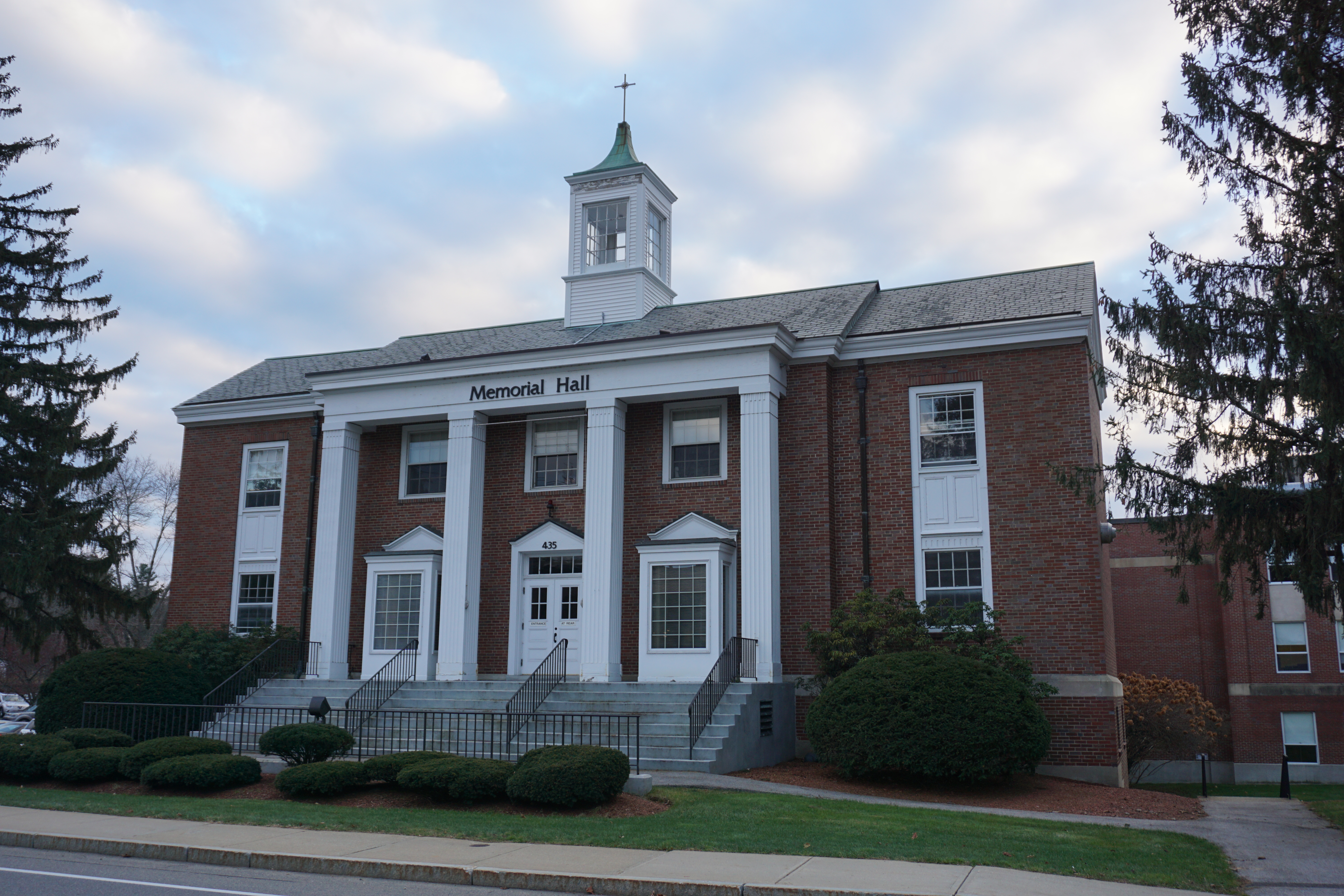
including Rivier University,
the Rotary Common Park,
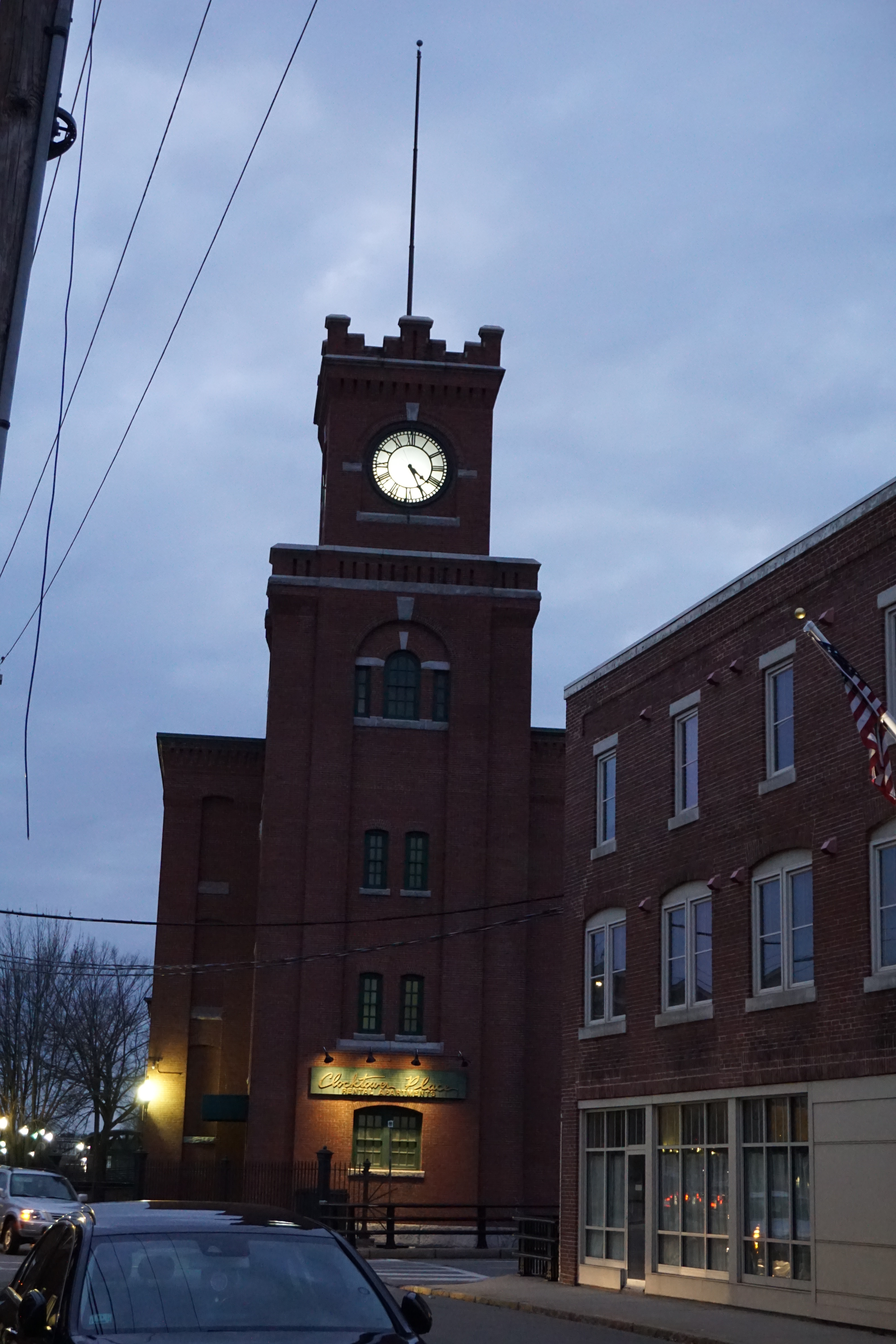
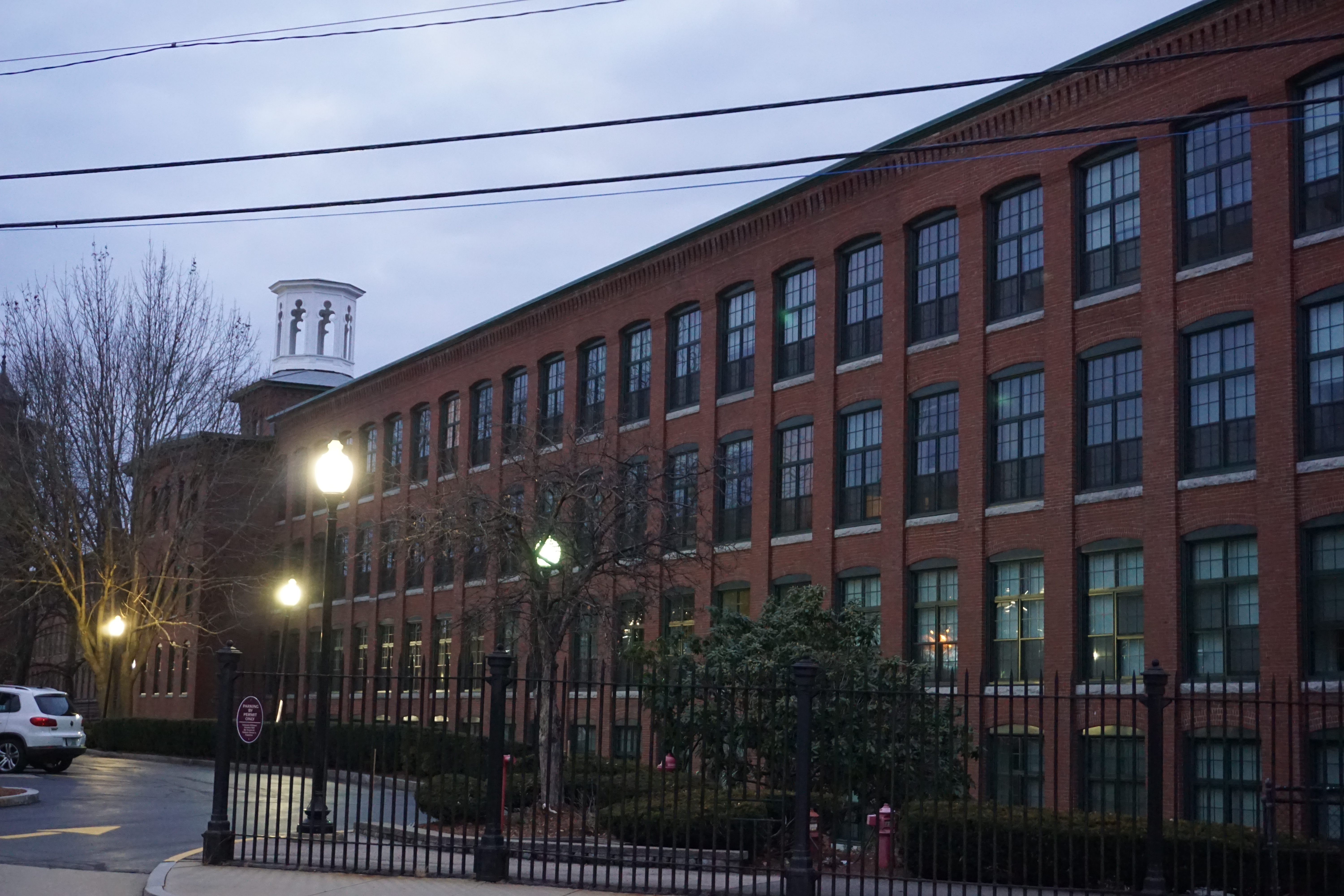
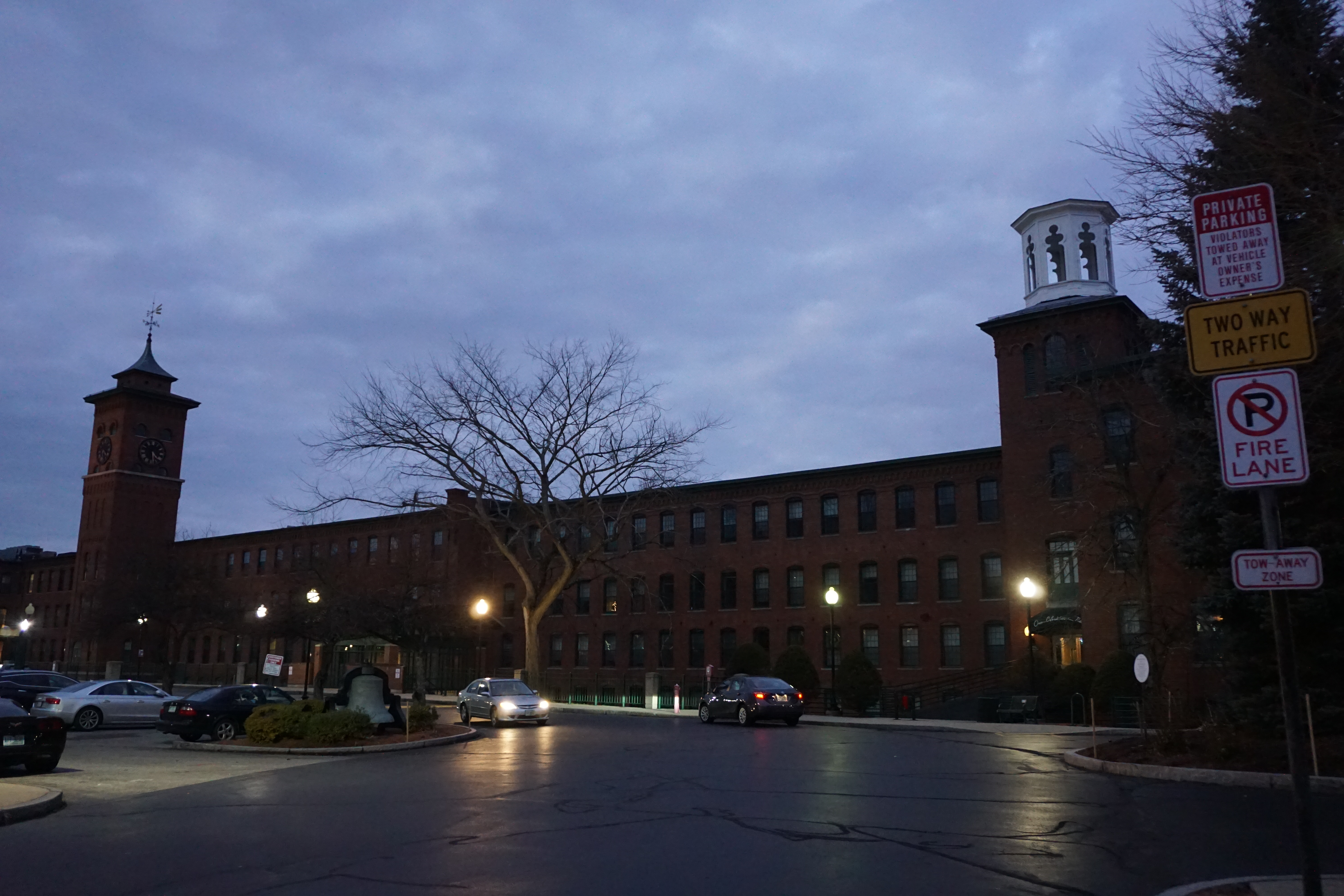
and the Clocktower Place
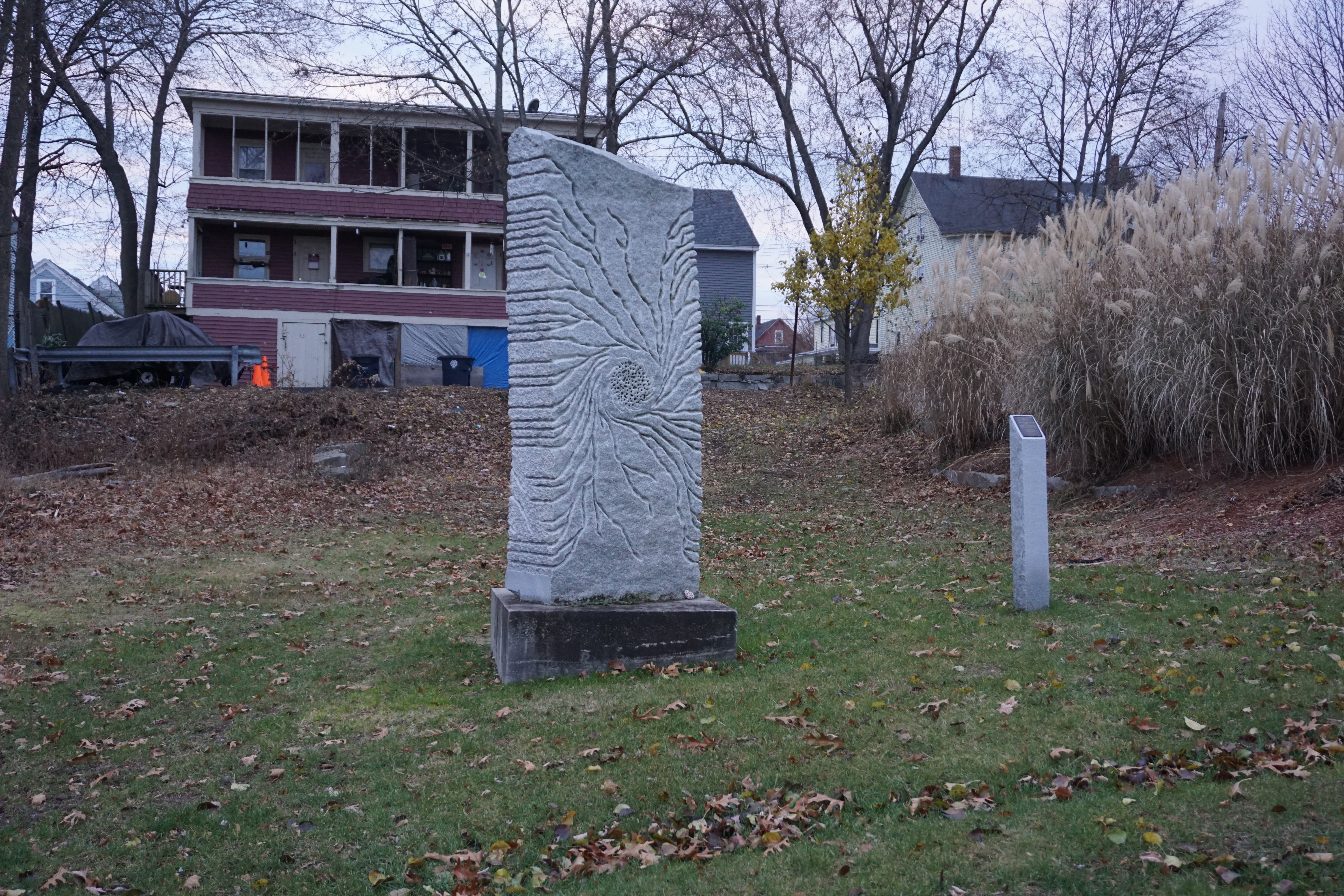
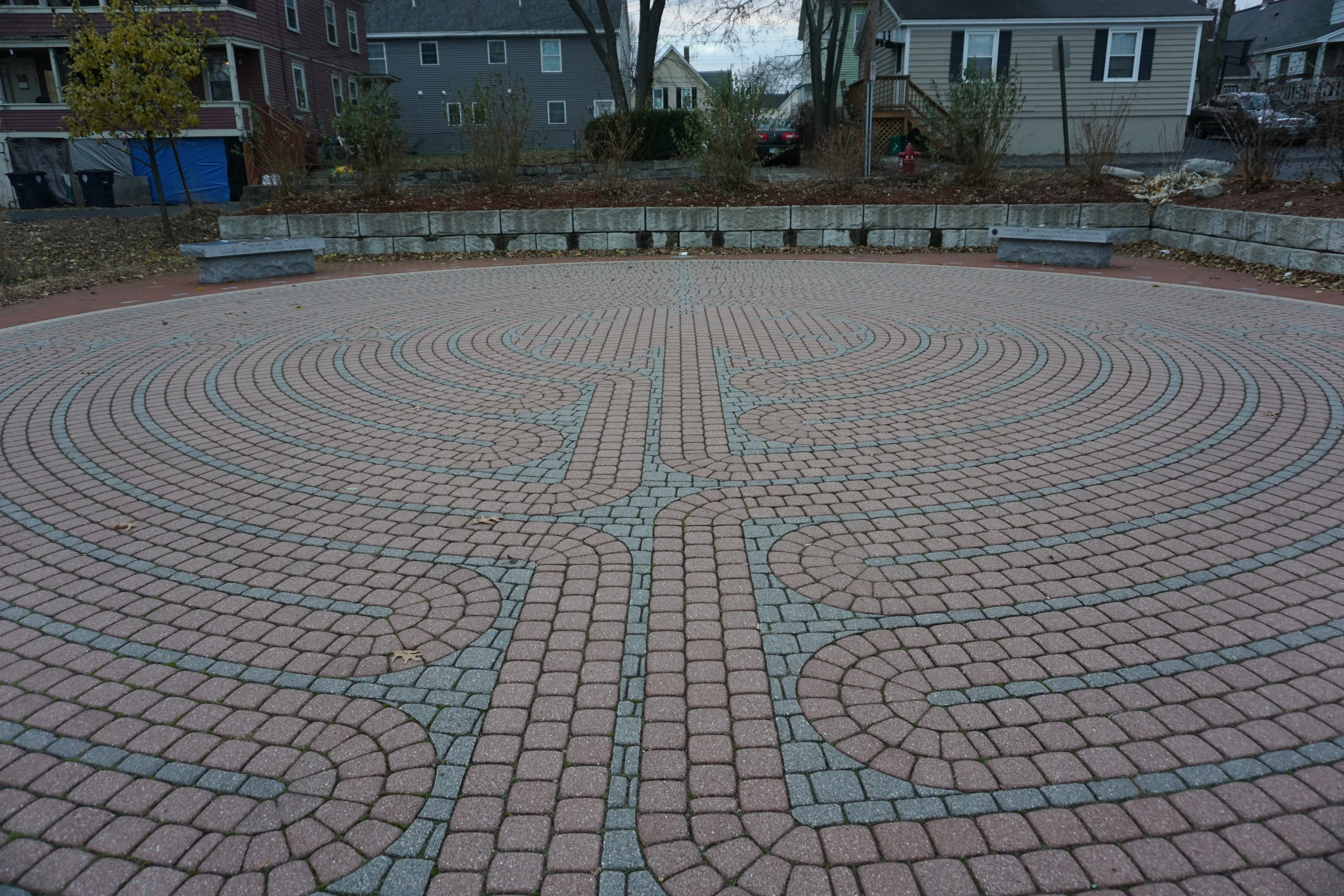
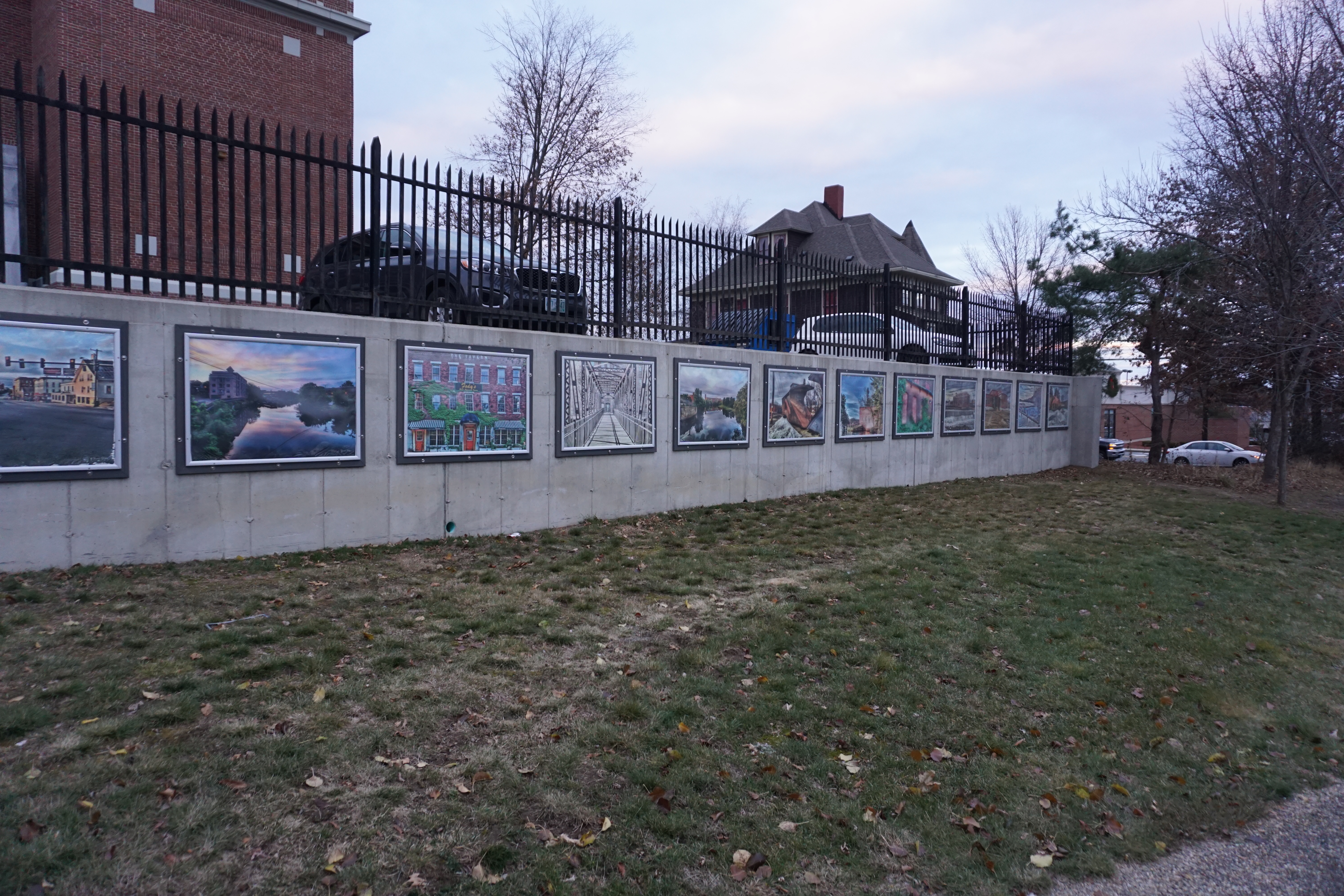
before the sun went down for good, and I called it a day for exploring Nashua.




















No comments:
Post a Comment