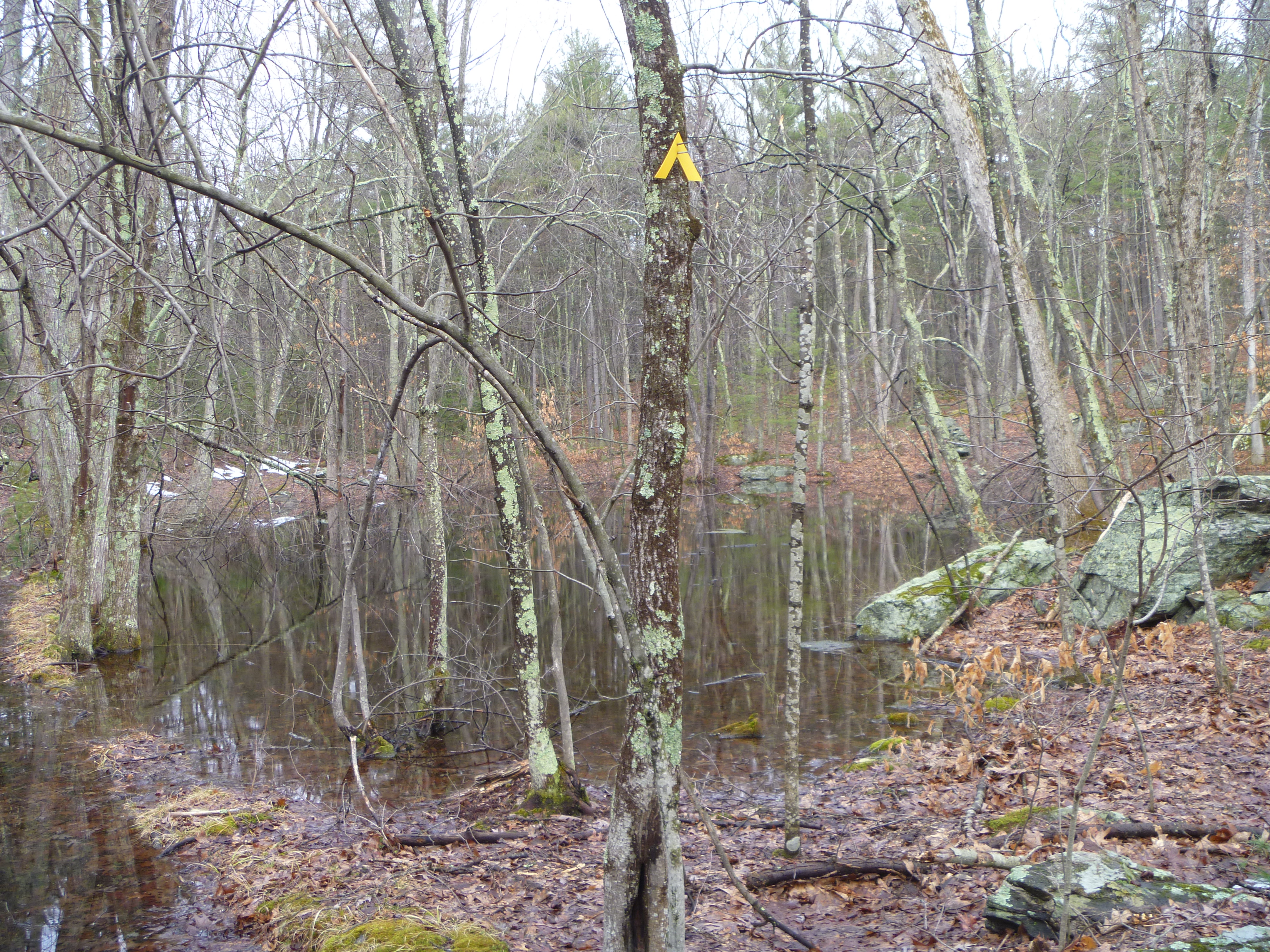
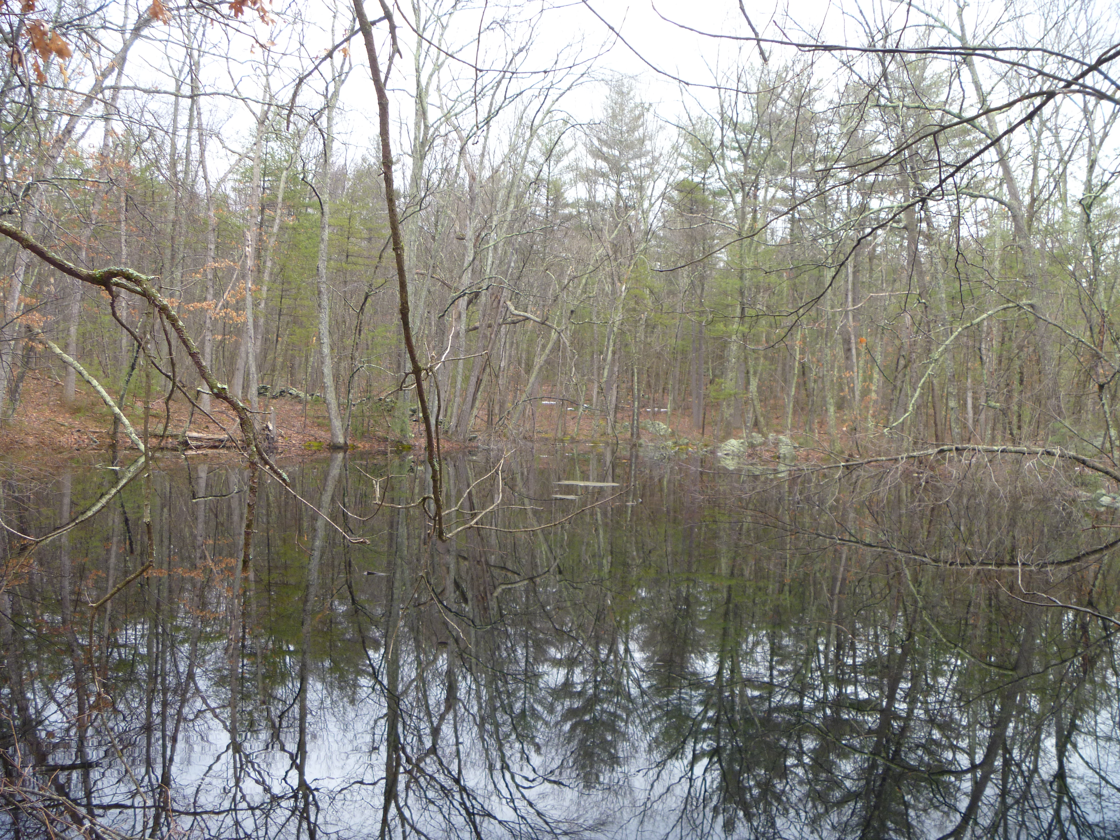
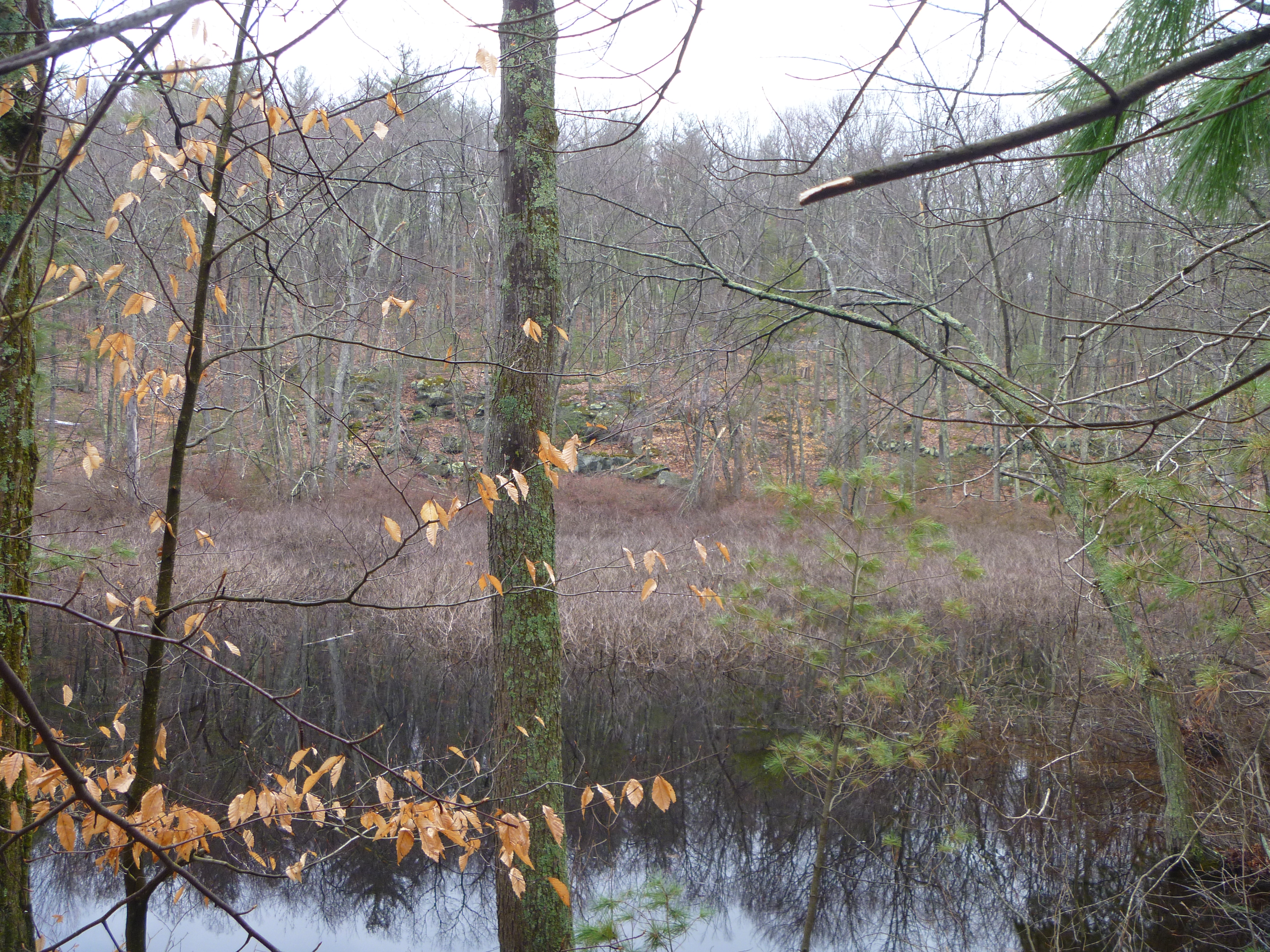
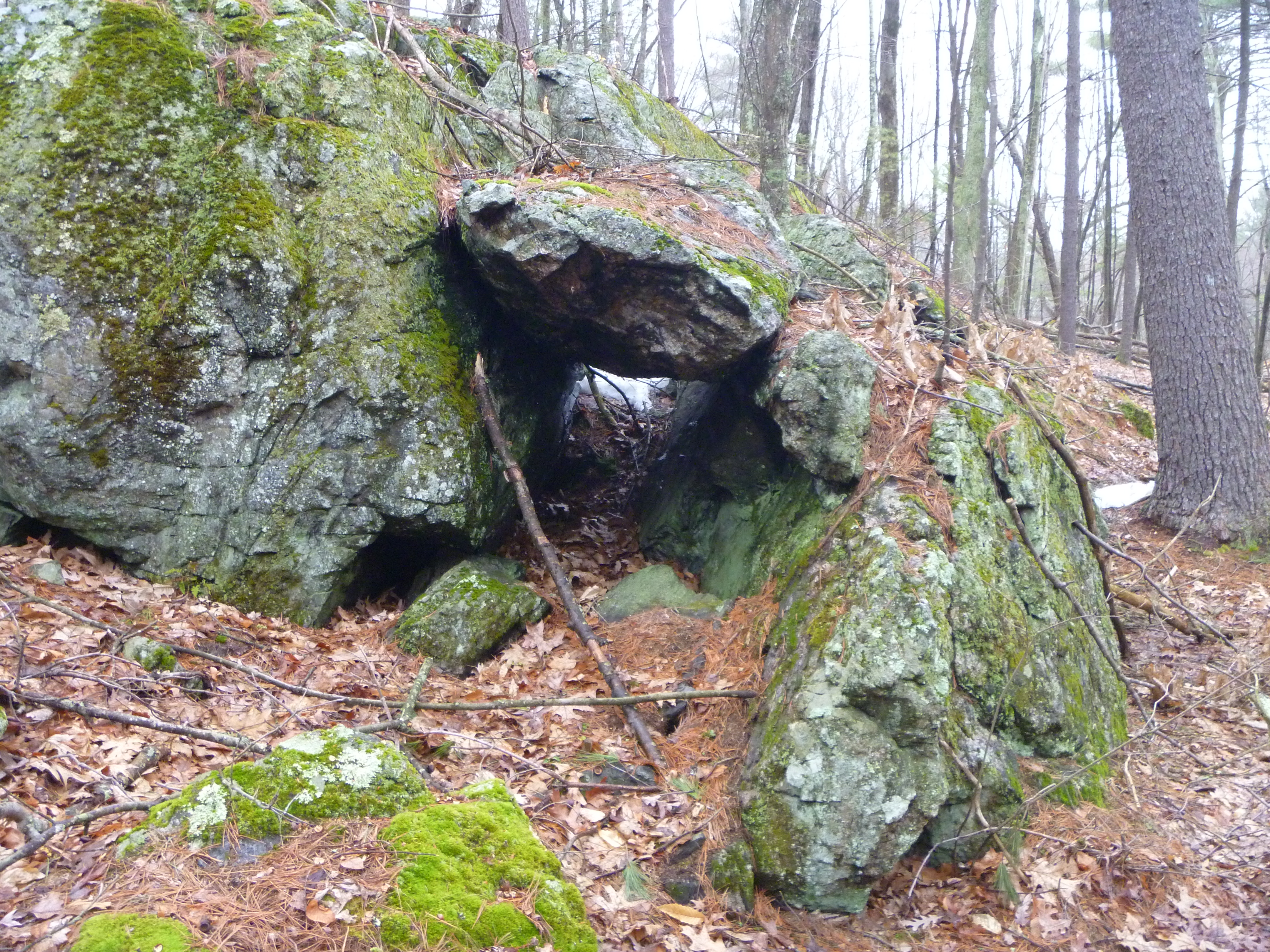
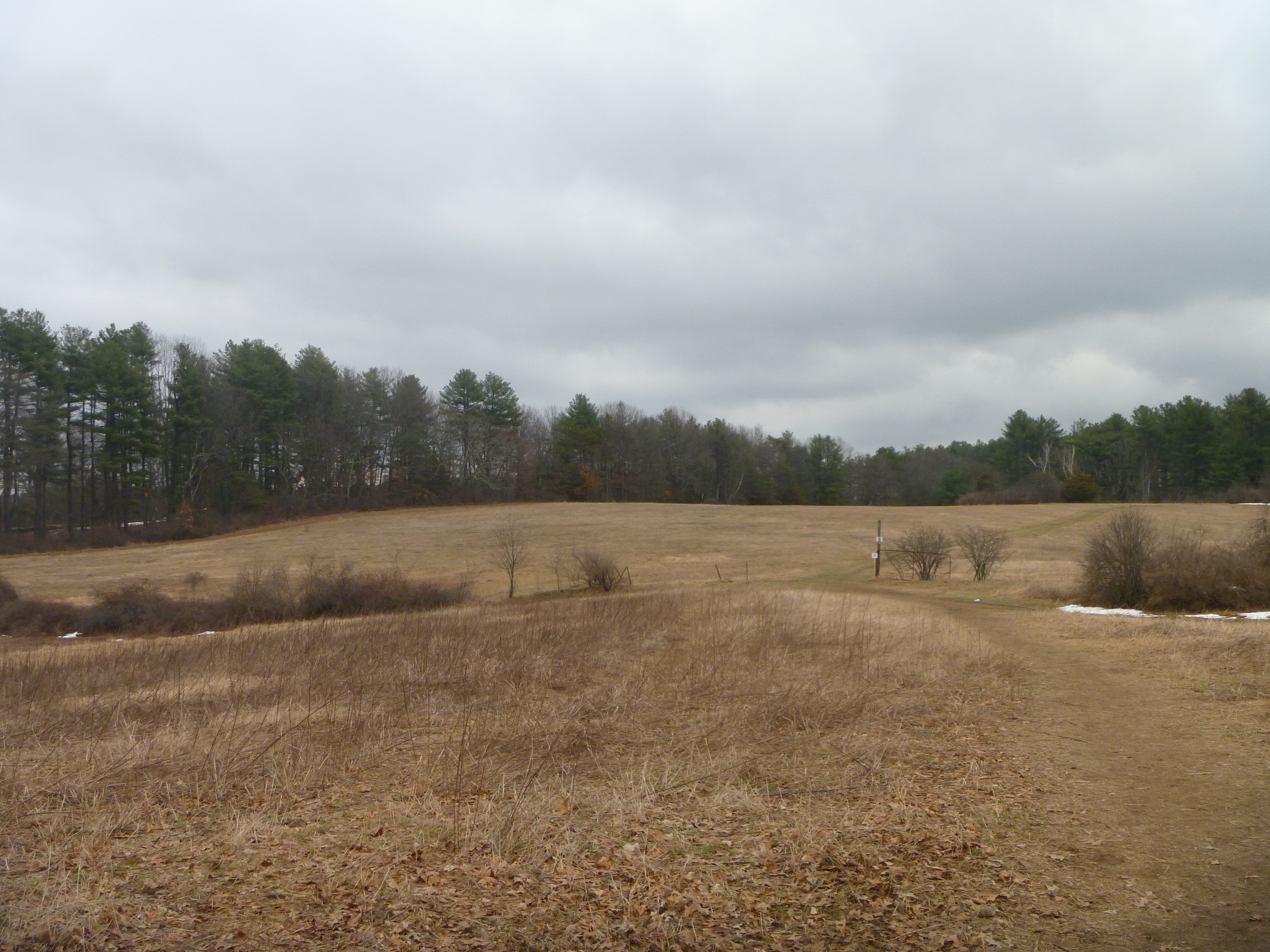
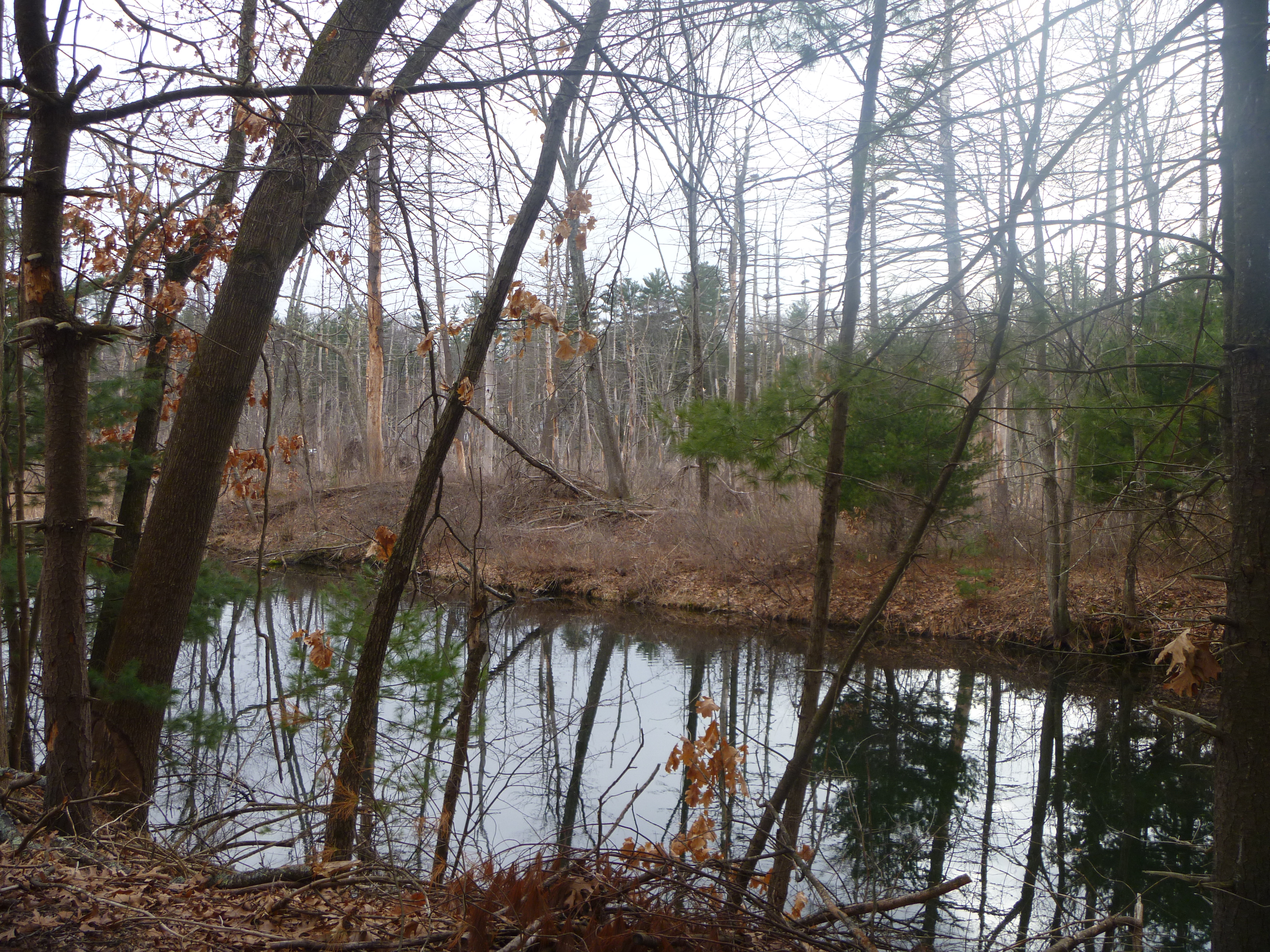
I got off early from work today, and decided to go hiking with most of the snow having melted, starting with the
Gould-White property in the town of Bolton. The path I took to explore the area is shown below in pink.
The water bodies and "cave" here were nothing to speak of though.
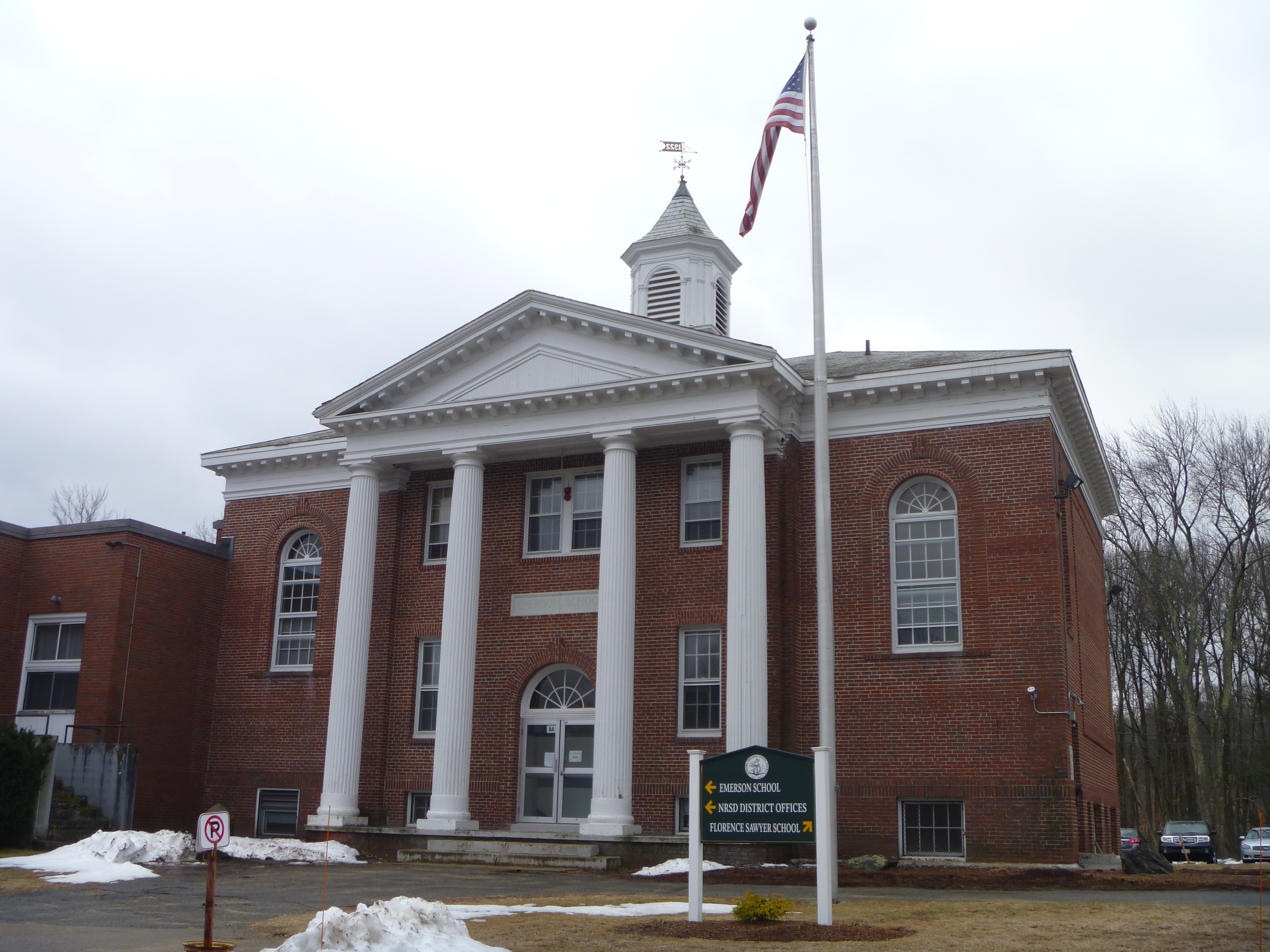
At this point, I was feeling a little hungry, so I decided to stop by the center of town,
getting a Loaded Baked Potato Salad (with bacon, hard boiled eggs and scallions)
from
Bolton Bean, a nice looking and popular cafe in town.
Pretty tasty salad actually, despite the strong scallion taste.
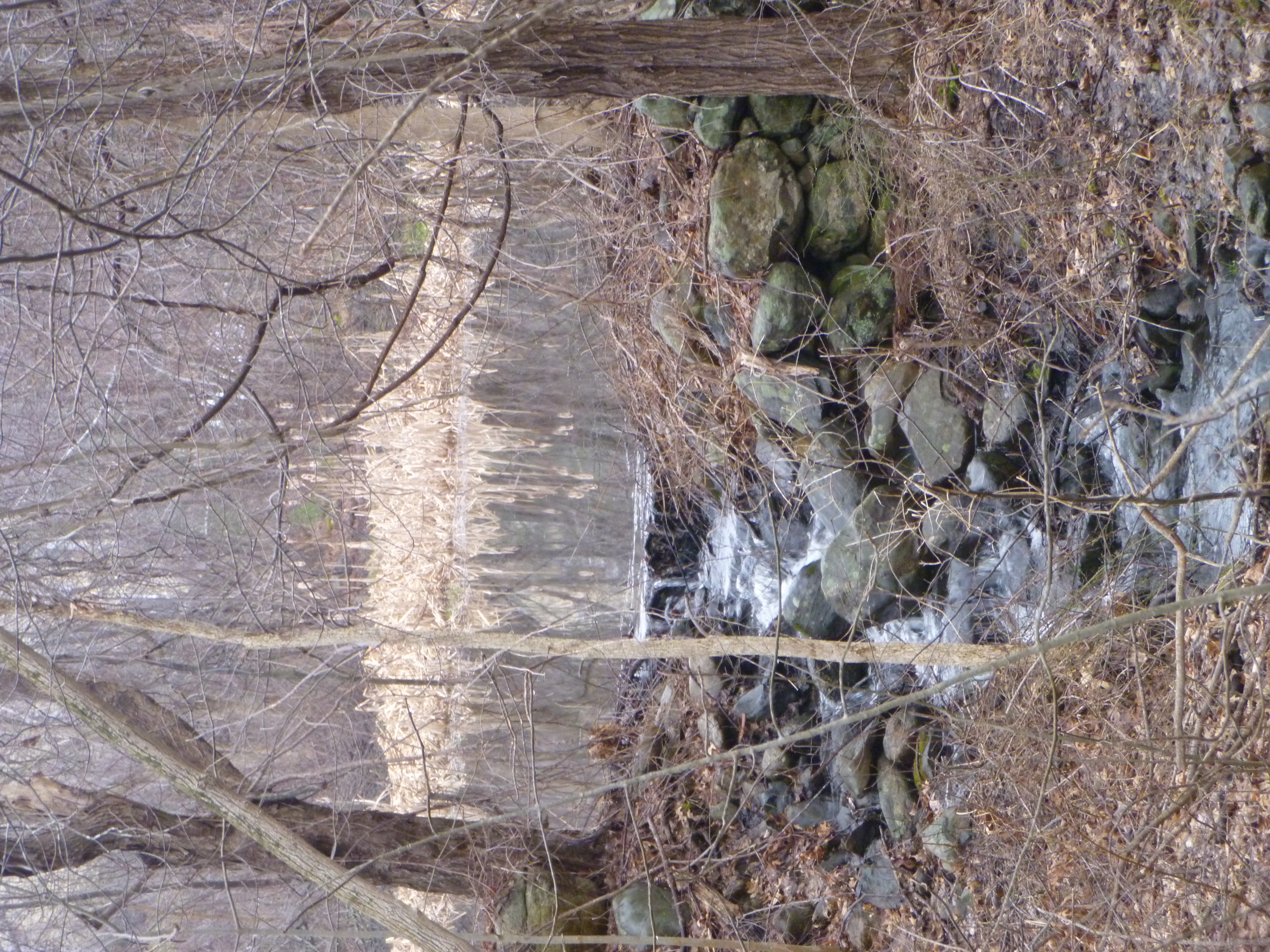
From here, it was on to my next hike at the
Zink Trail, where I did not need to hike to see the rapids and small waterfall here from 40 Corn Road.
Nothing special though. Next, I passed through Stow
on the way to Concord,
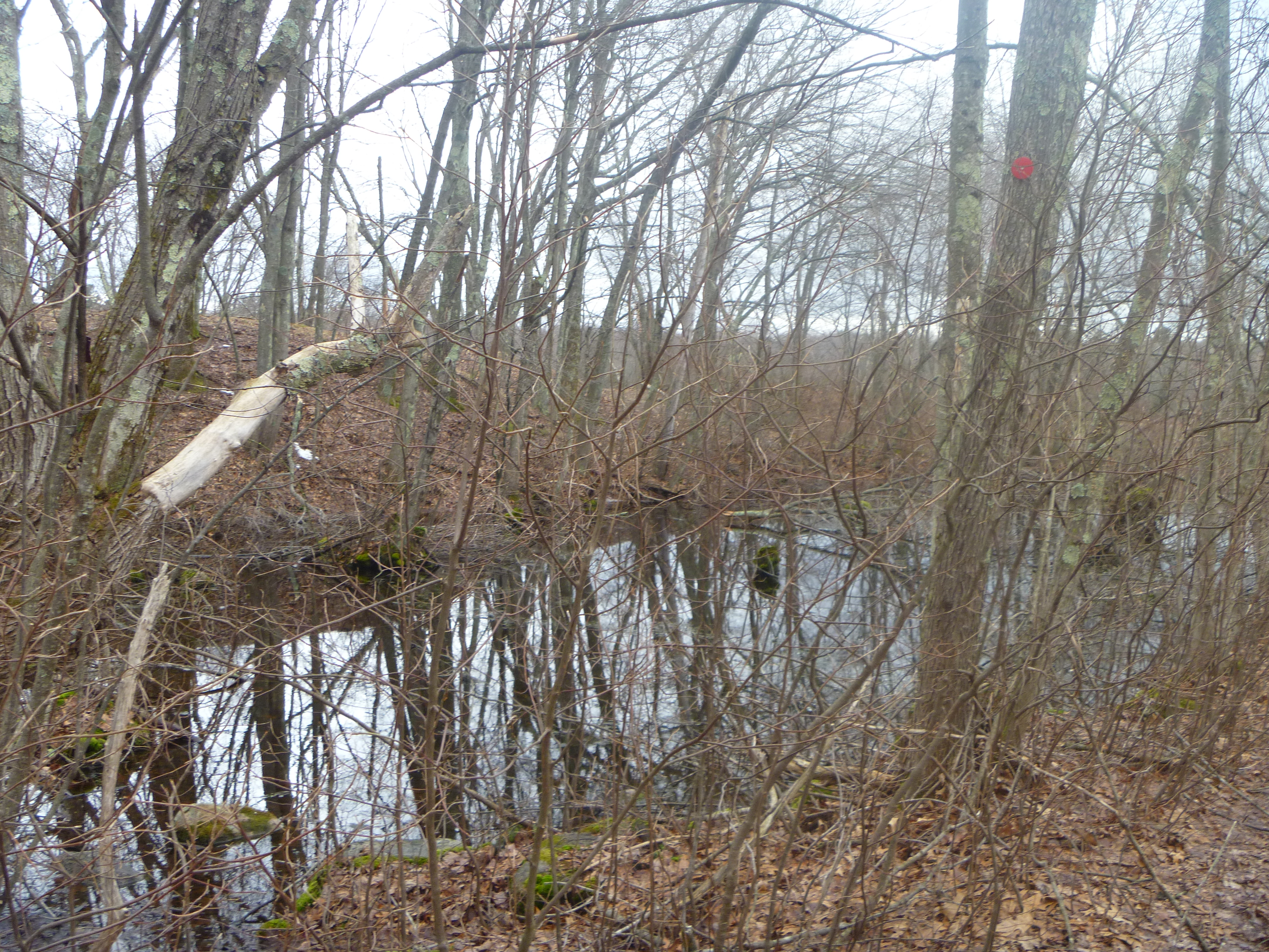
where I resumed my hiking, first revisiting the
Old Rifle Range area from the Ministerial Drive side. The path I took here is shown below in pink.
There were so many fallen trees here that I had trouble finding the trailhead, but thankfully a nice resident showed me the way through the mess of trees. Unfortunately, there was nothing to see of the wetland here though.
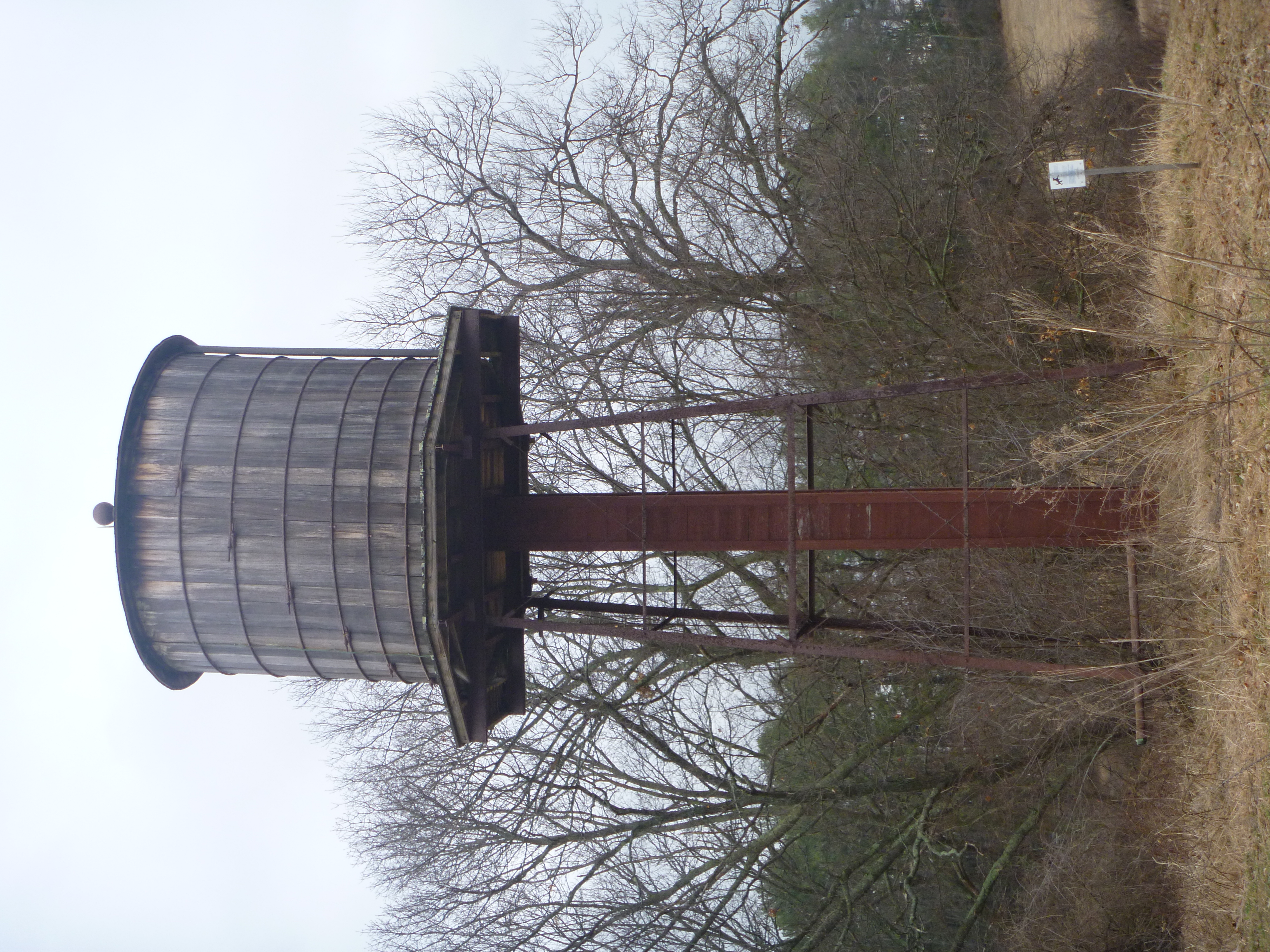
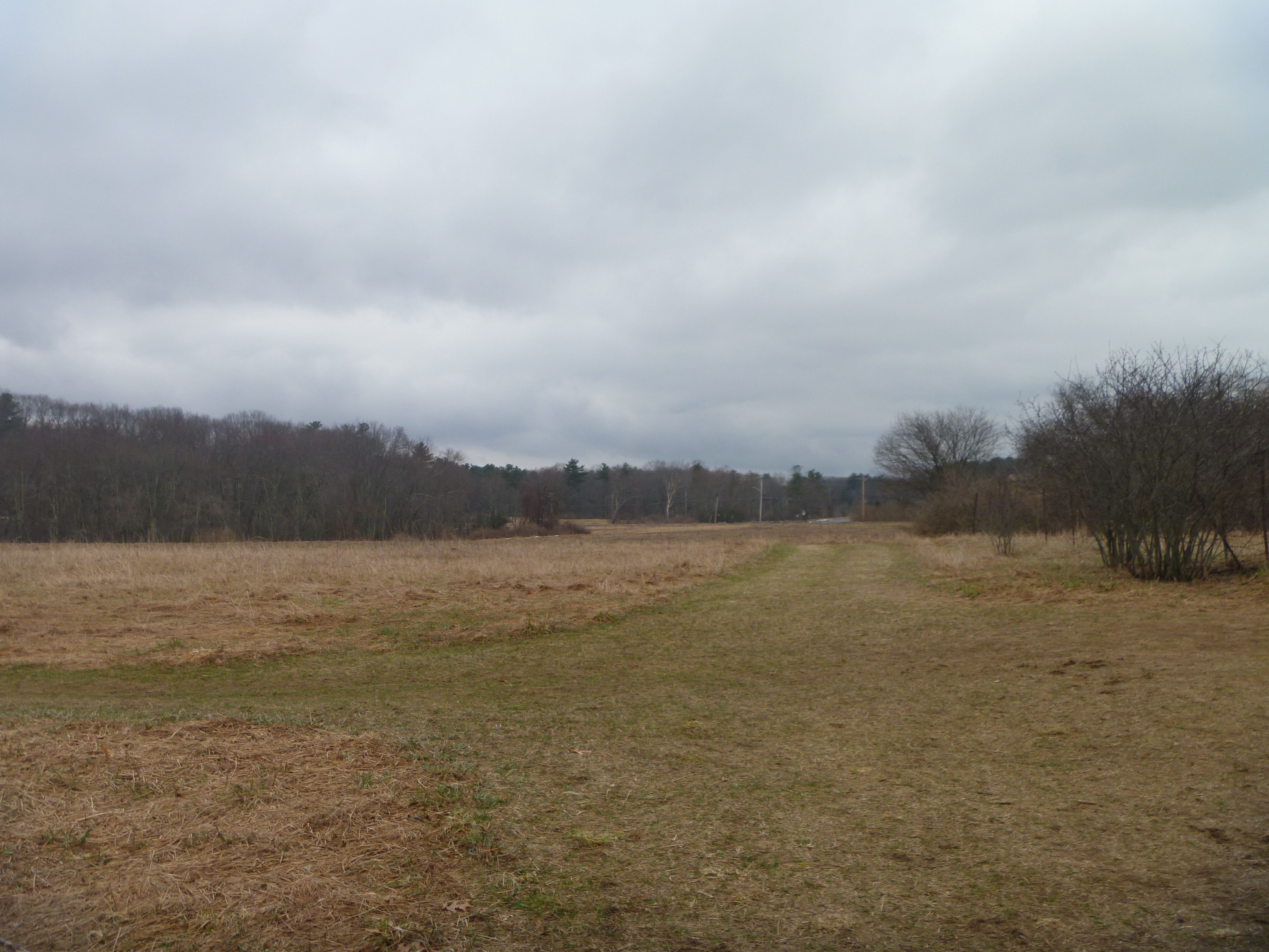
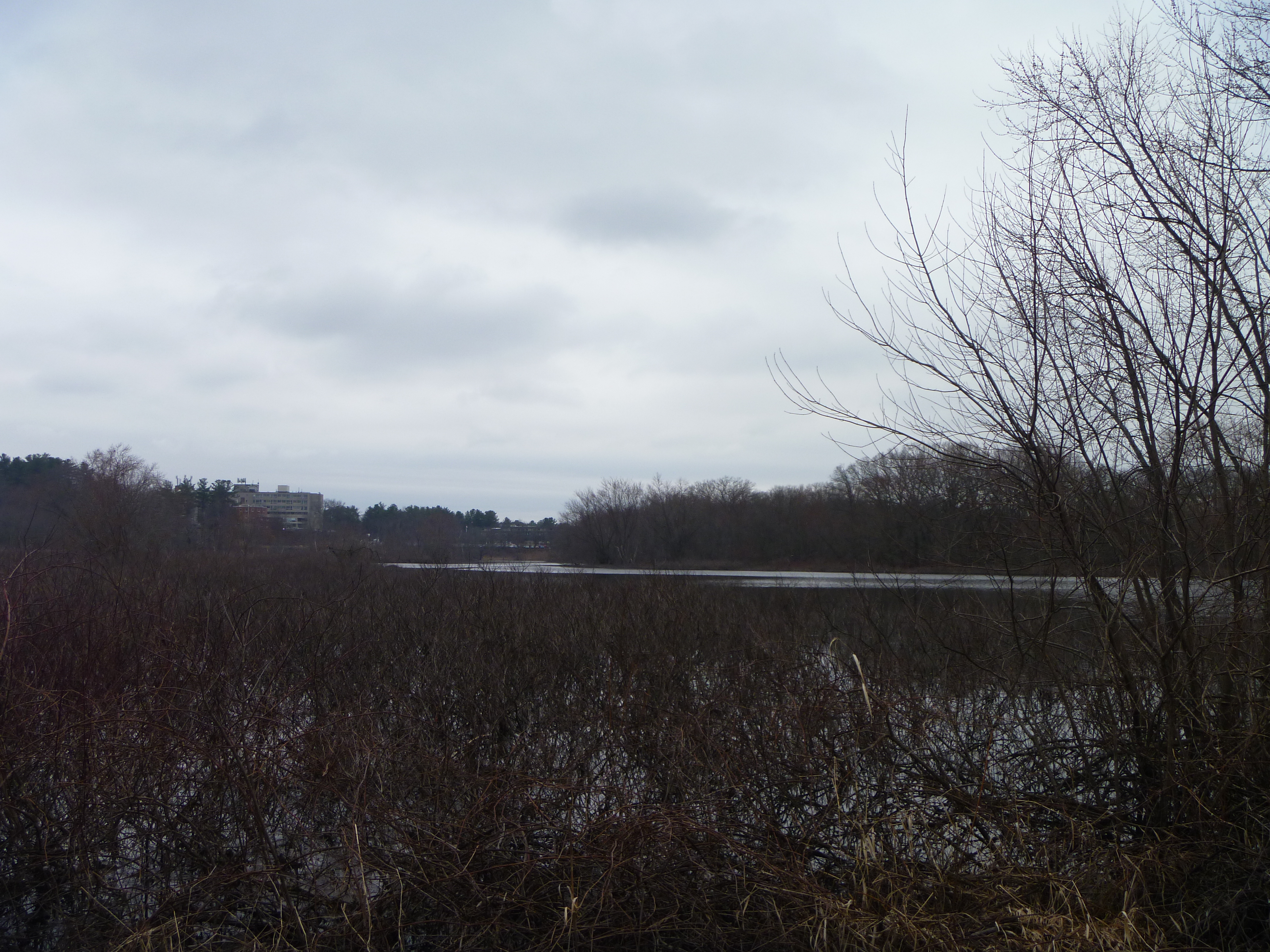
Next, I headed to the
Mattison Field area. The path I took here is shown below in pink.
There was an old water tower near the entrance,
and nice open views from the fields here.
and somewhat okay view of the Sudbury River.
Instead of following the entire trail back to the road, I decided to take a shortcut through the Deaconess Water Treatment Building, then getting back onto the road all the way back to my car. Not too bad a hike actually.
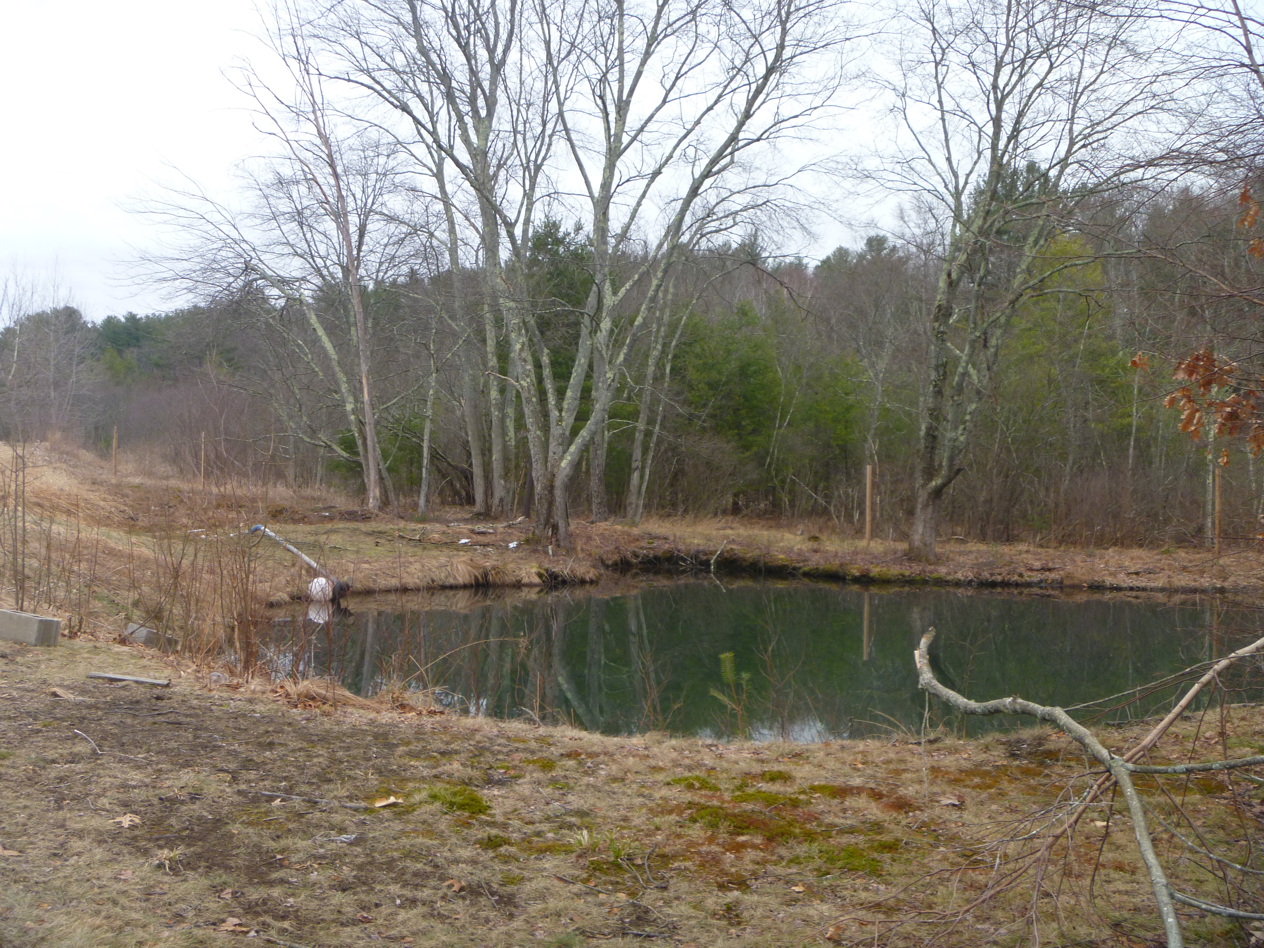
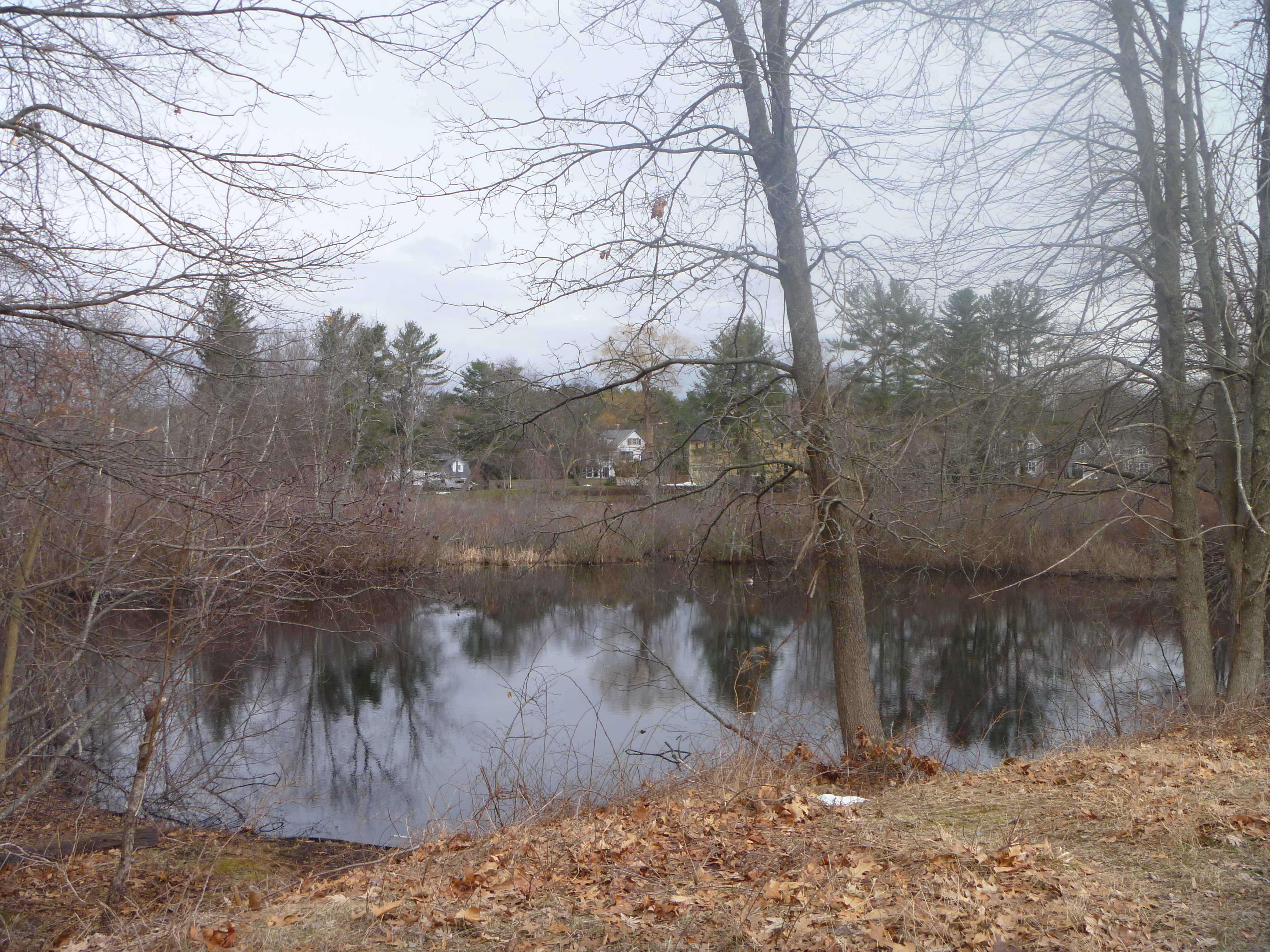
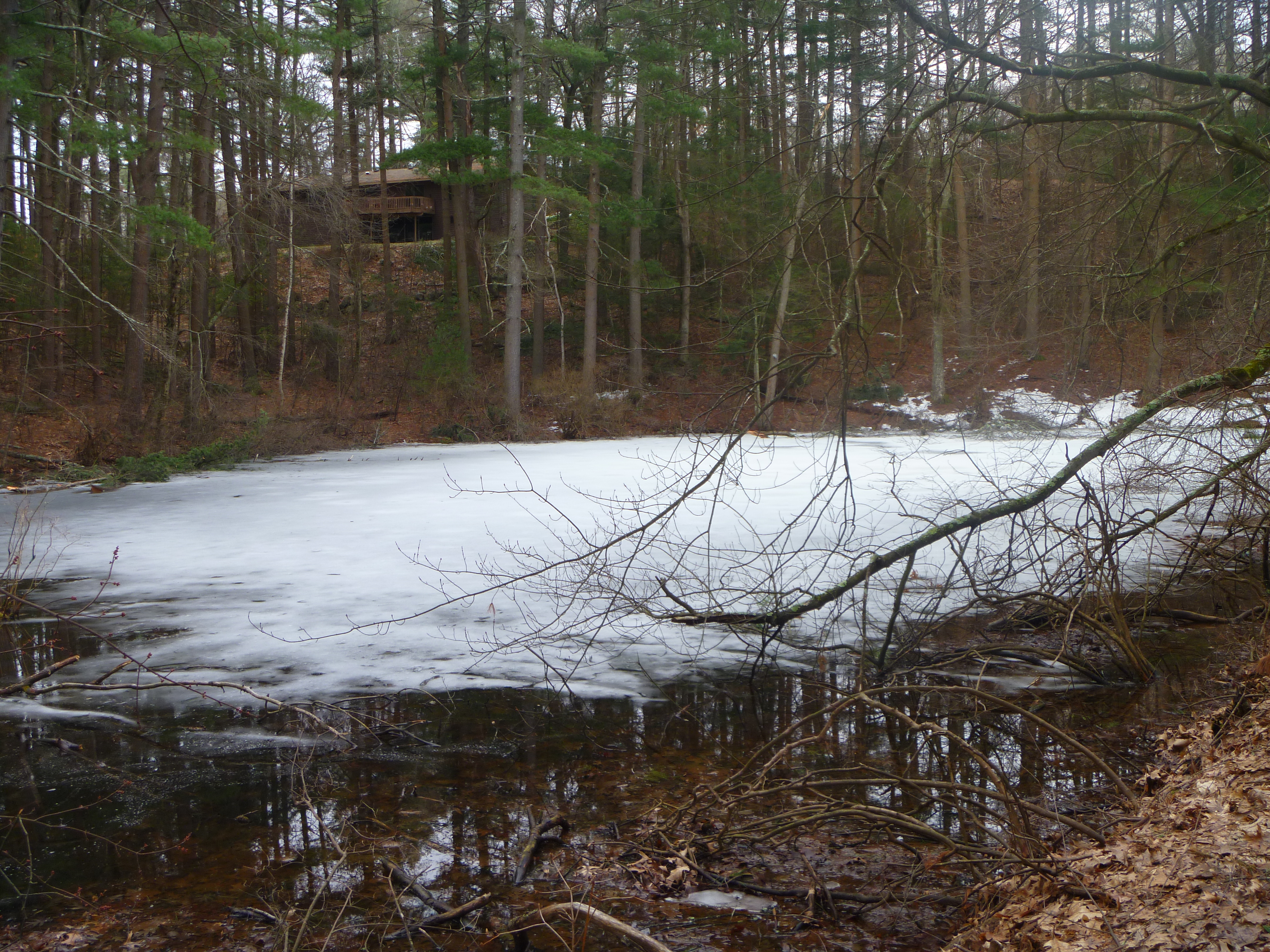
Next, I headed to
Bear Garden Hill for my next hike. It was hard enough to find the entrance to this place, being pretty unmarked on maps at ~636 Sudbury Road.
The worst part was that the trail map was drawn so badly that I got really disoriented and lost several times, only succeeding to find the water body using Google Maps to orientate myself with respect to the various landmarks here. Even so, the water body here was nothing much to look at either.
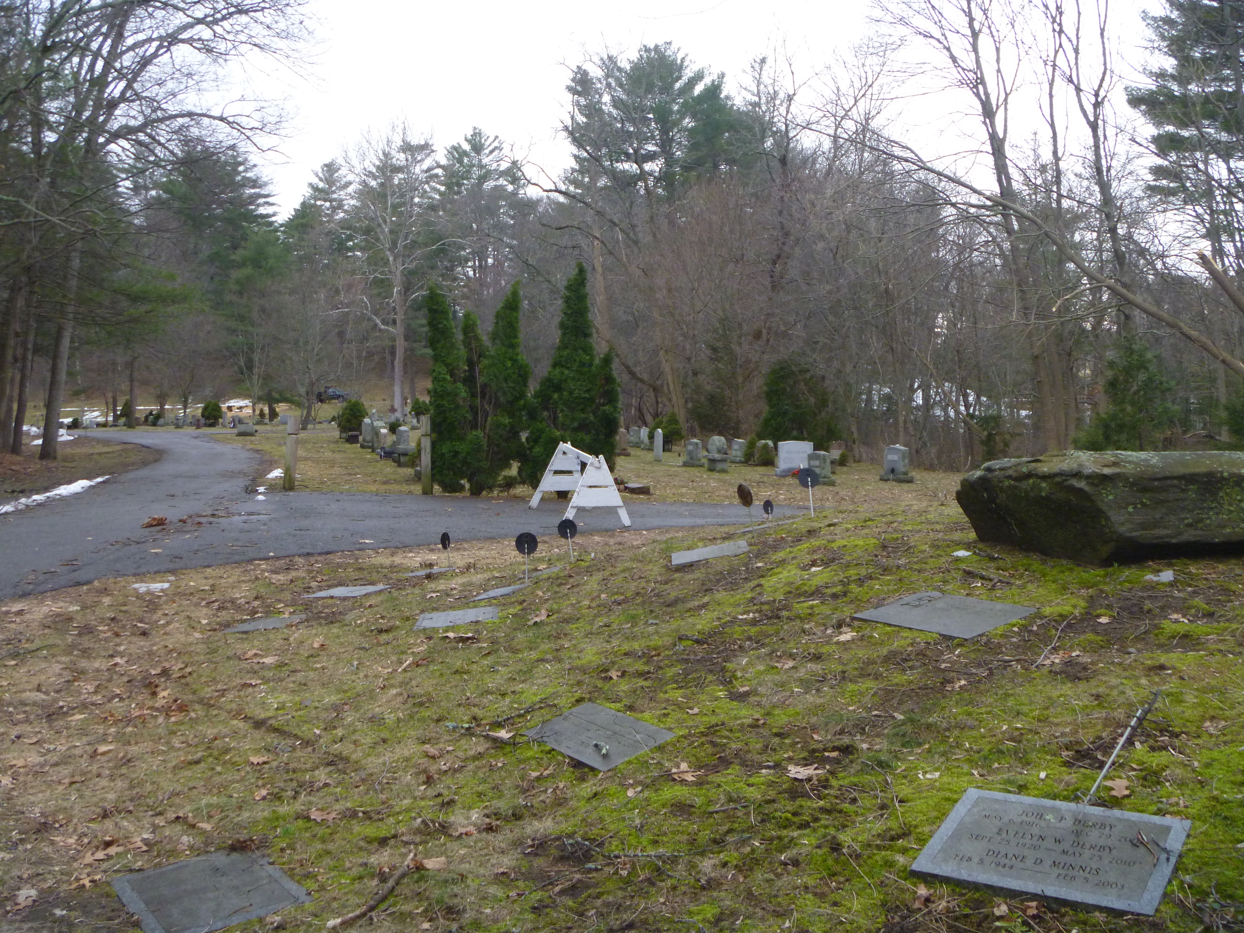
My next hike was at the
Sleepy Hollow Cemetery area. There are many famous authors buried here,
but I was more interested in the water bodies here. The path I took on the trails here are shown below in pink.
Unfortunately, the water bodies were nothing much to look at.
Next, the Moses Pond Conservation Area nearby on Wayside Road, where I did not need to hike much to get to the pond here.
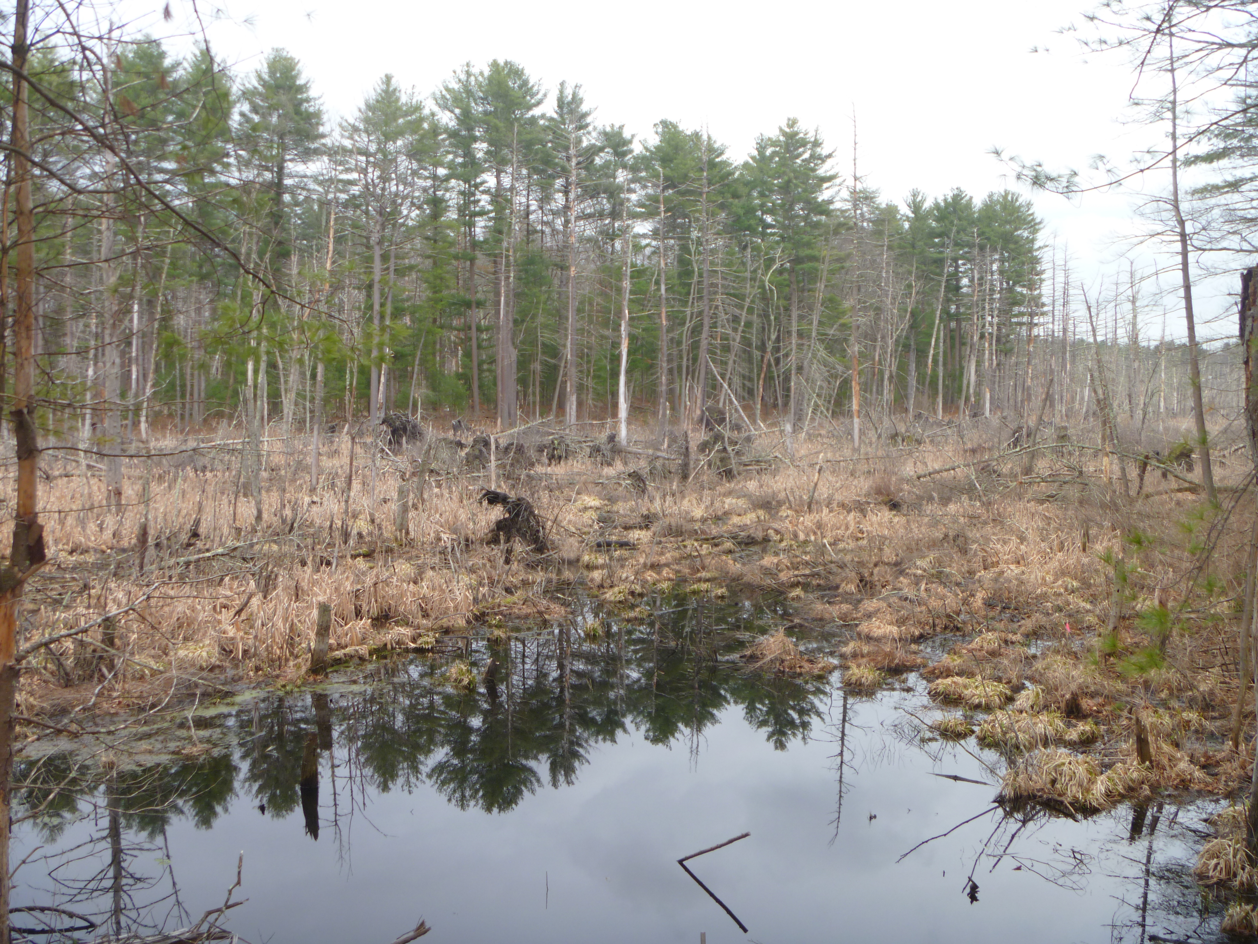
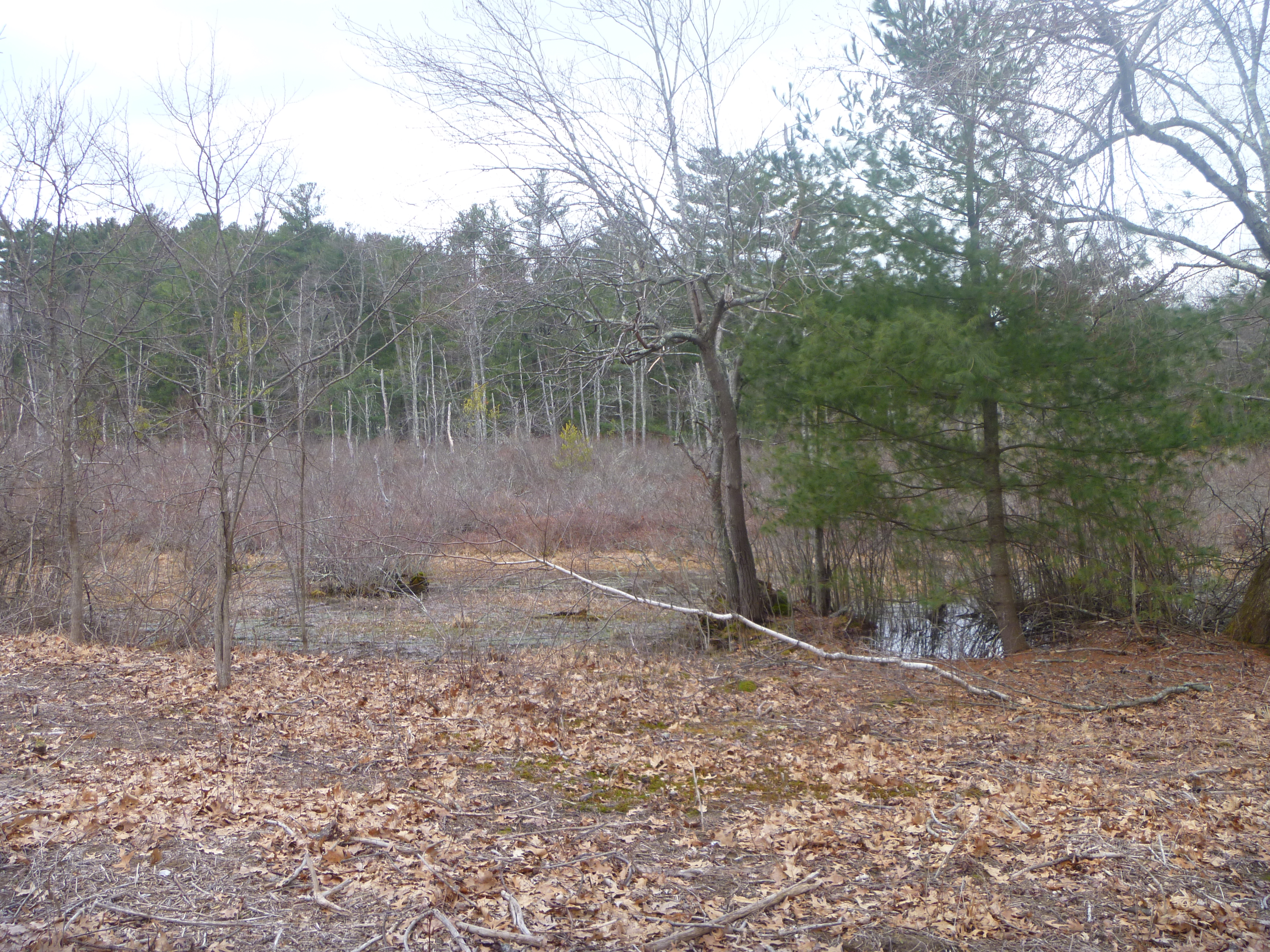
The final hike was at
Gowings Swamp, which is behind the Ripley School at 120 Meriam Road. The path I took here is shown below in pink.
Nothing much to see here as well.
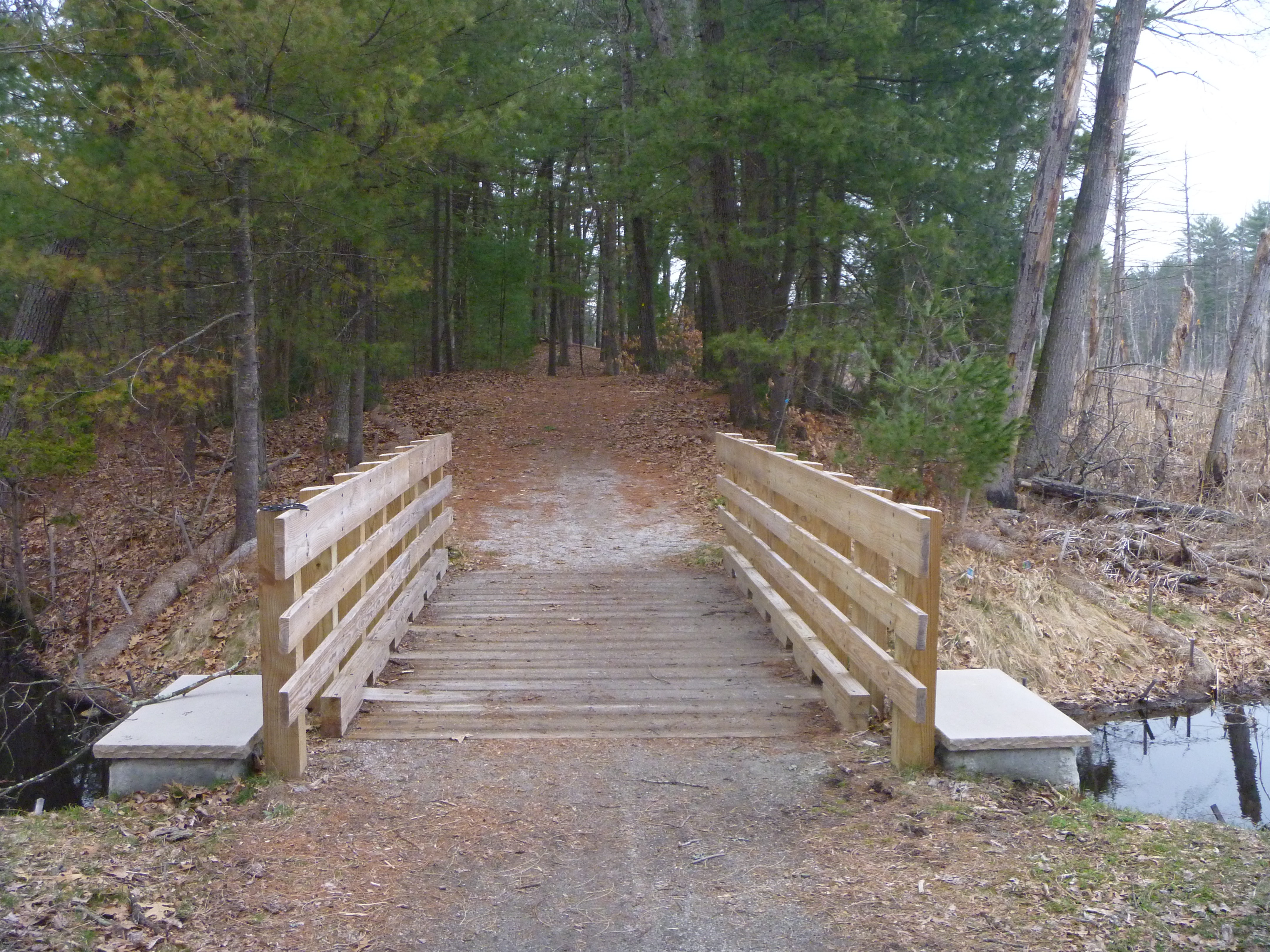
My final hike of the day was at
Ricci Farm in the town of Lincoln, where the path I took is shown below in pink.
Nothing to see here though.
Overall, a pretty bad day for hiking with all the fallen trees around.


No comments:
Post a Comment