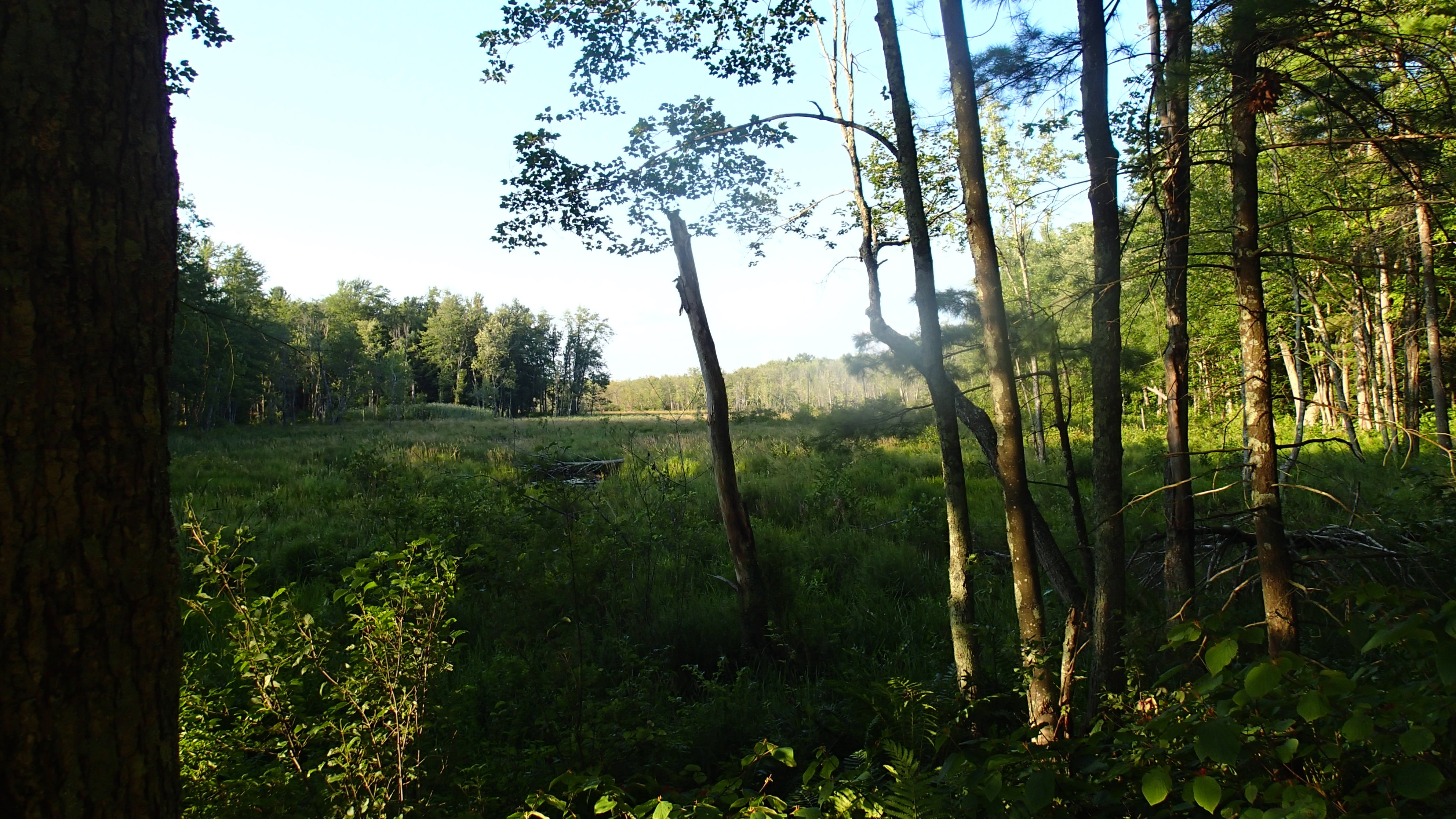
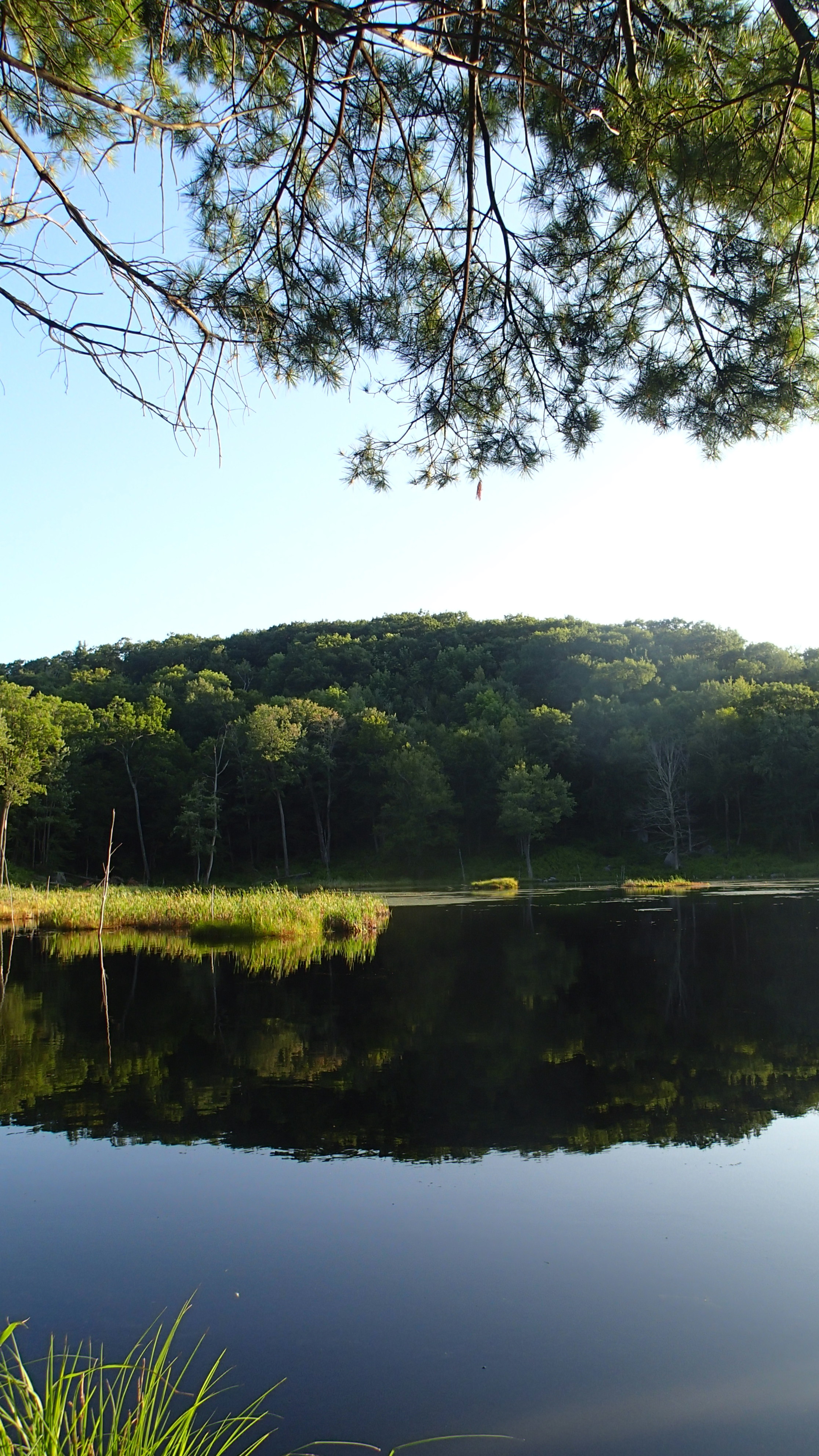
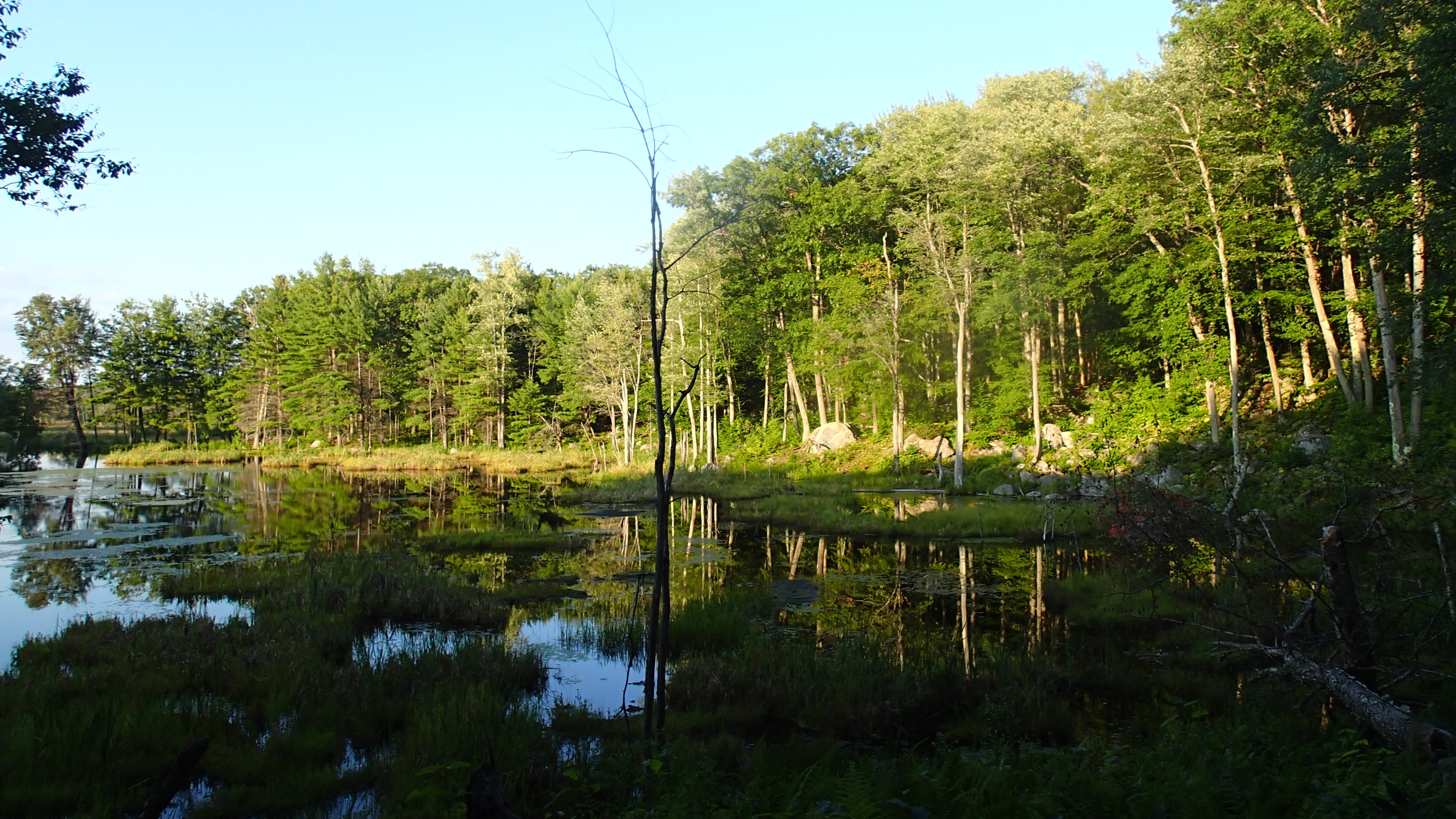
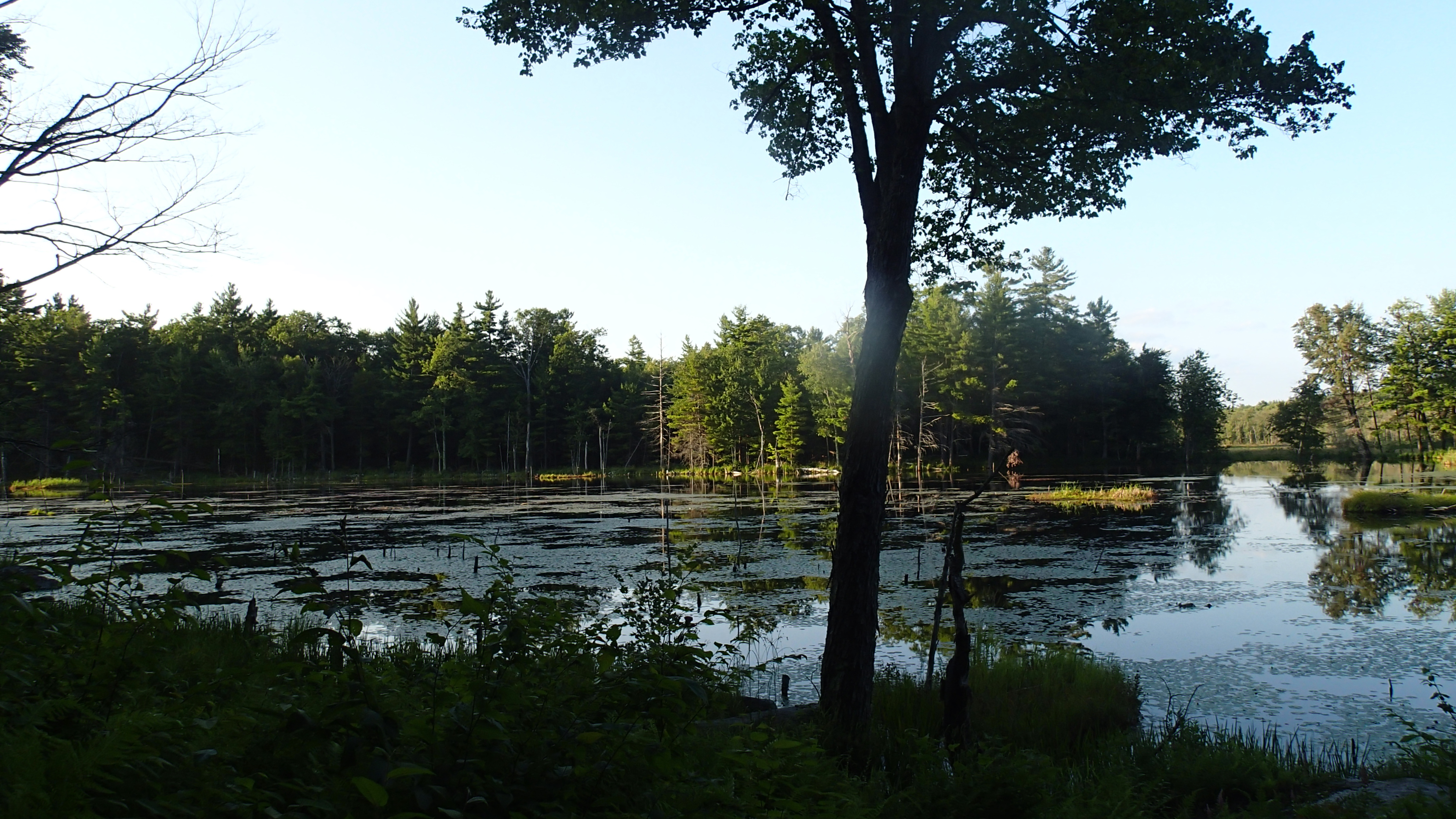
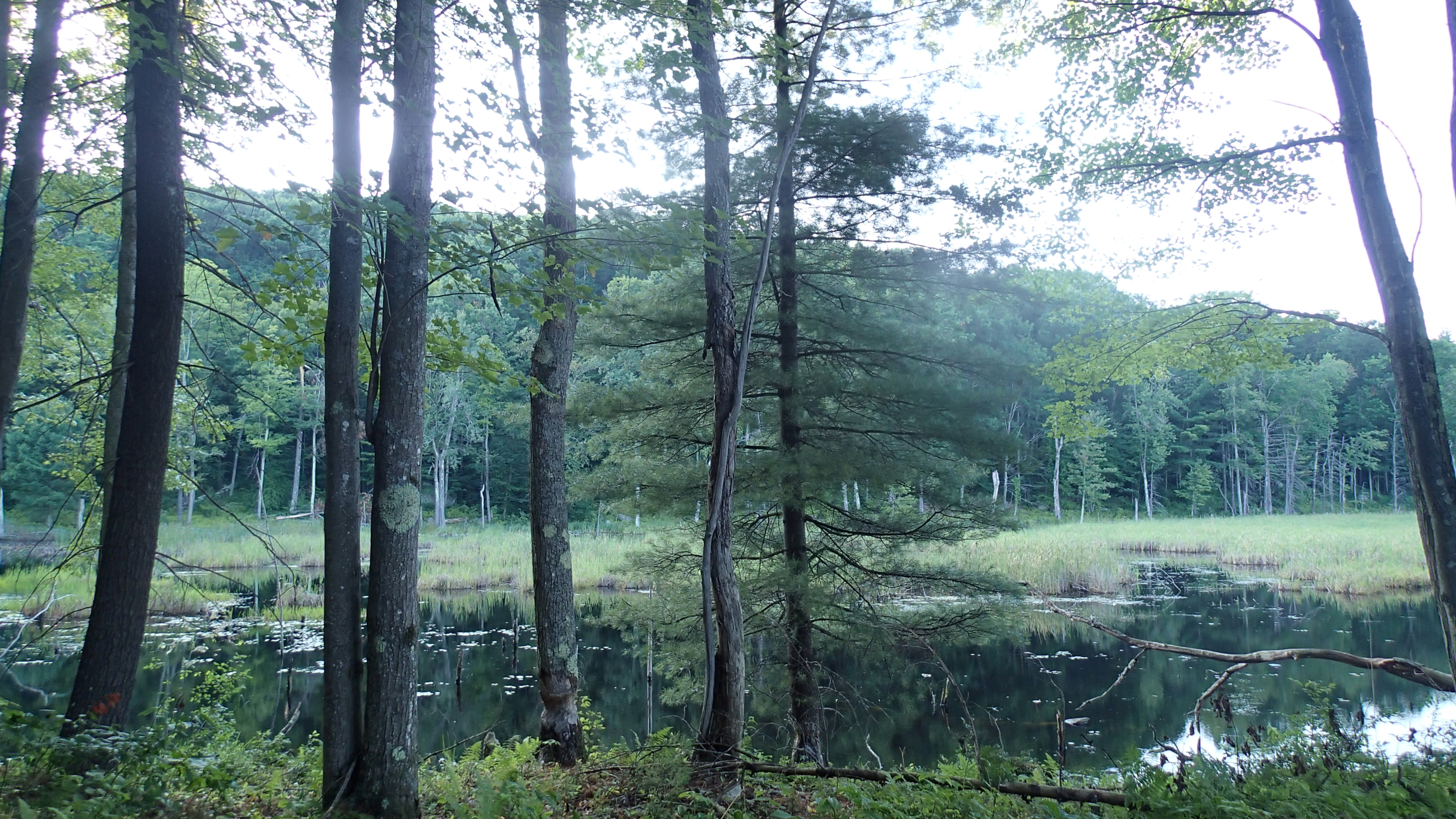
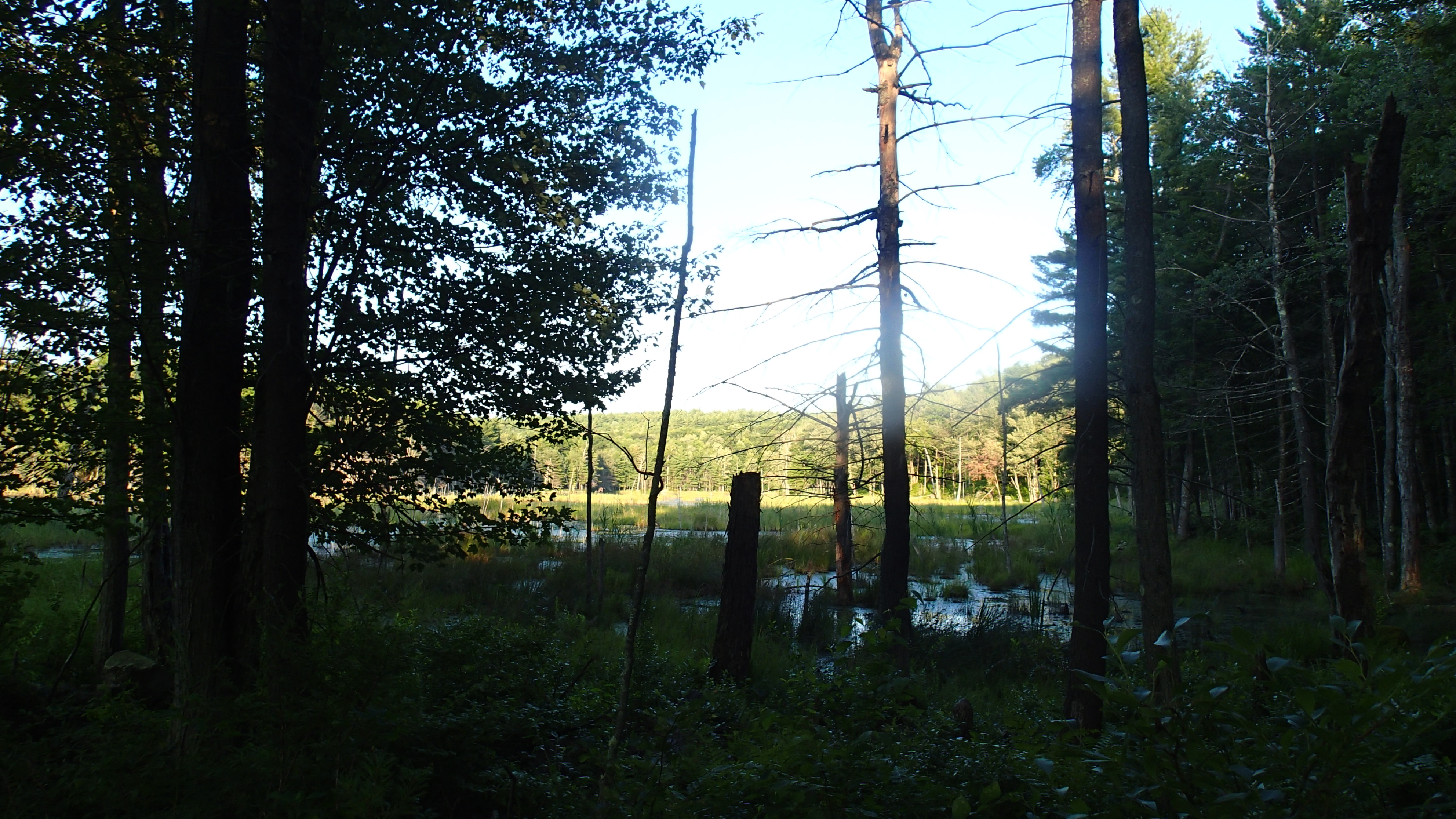
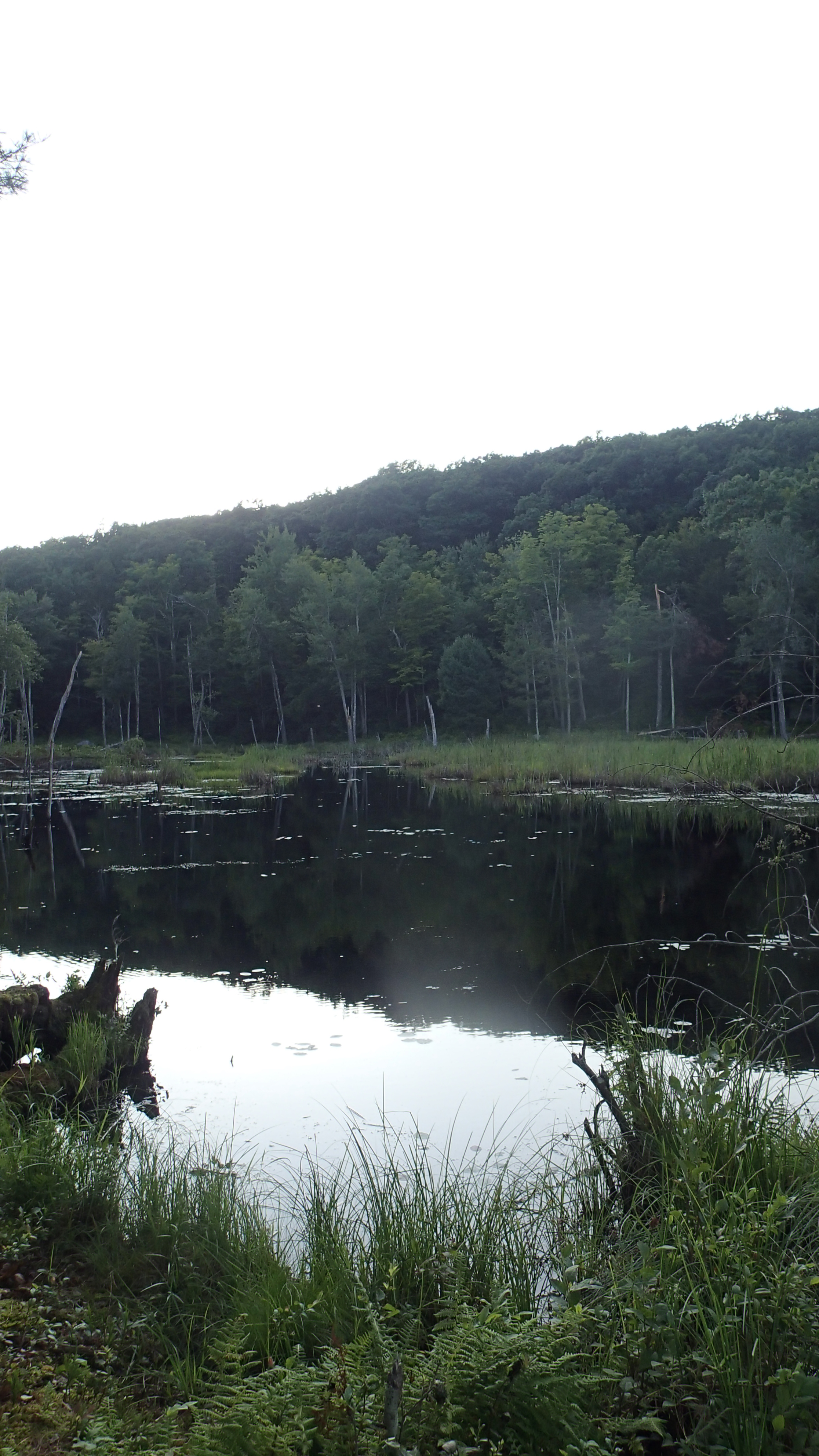
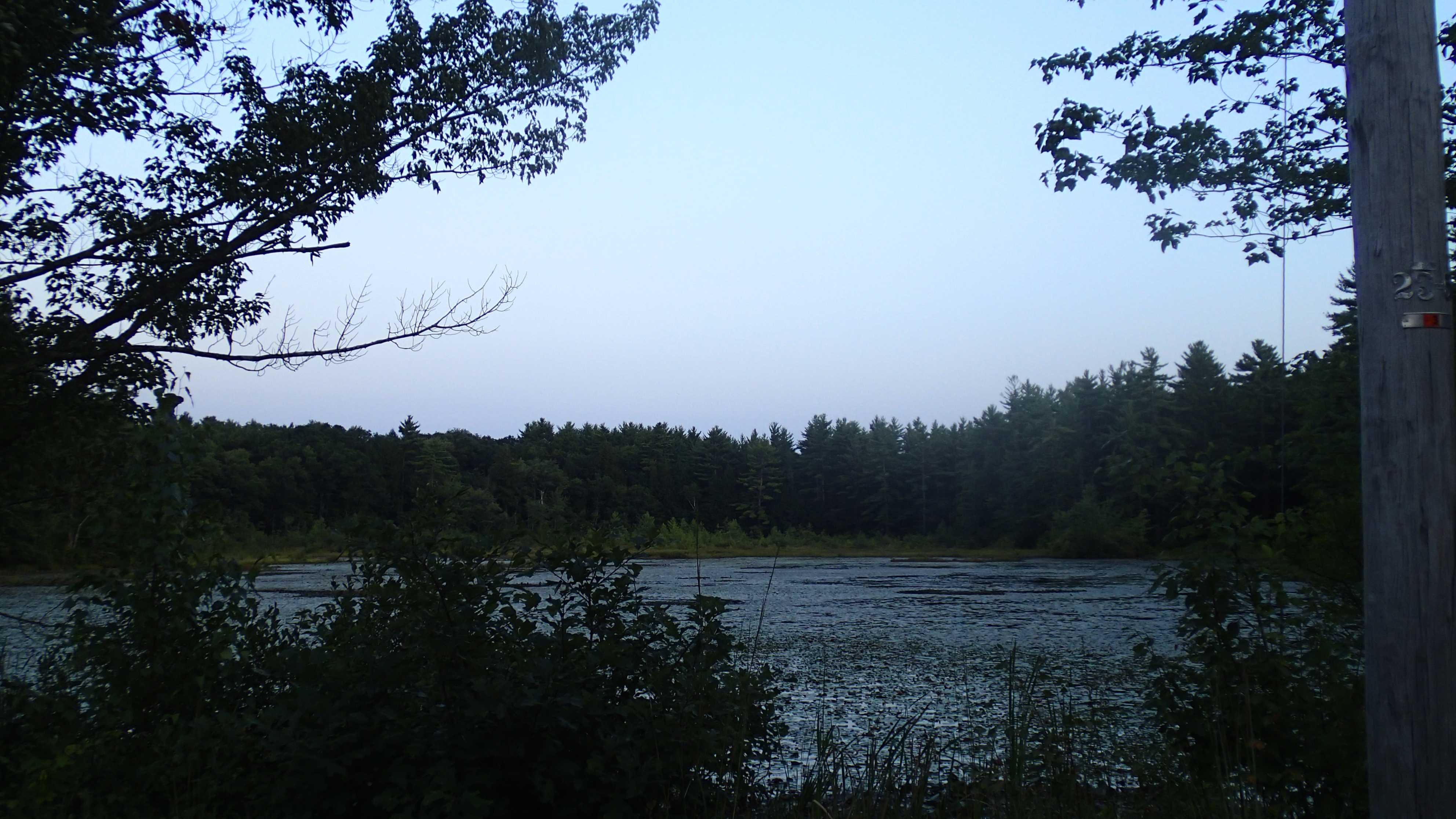
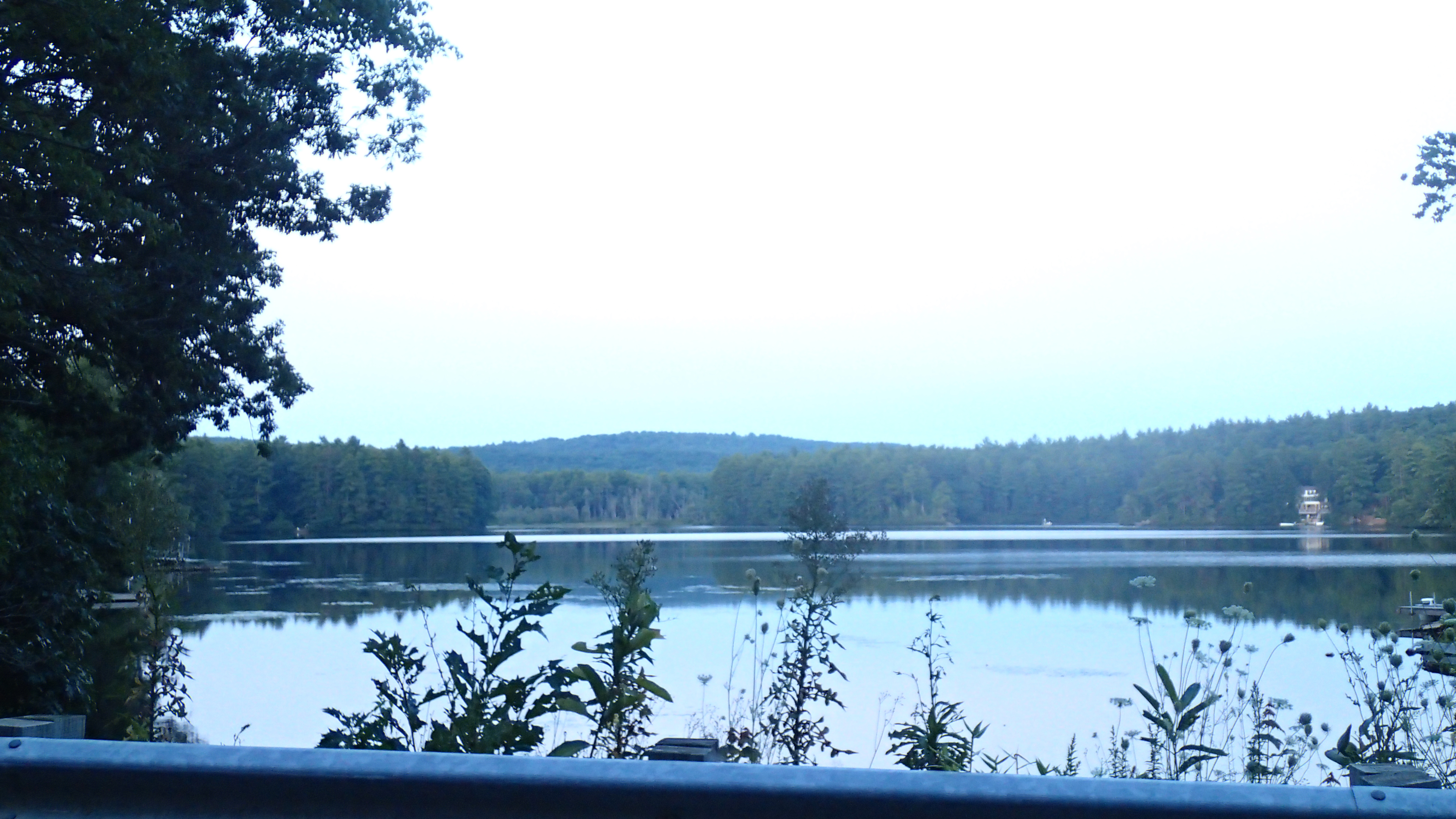
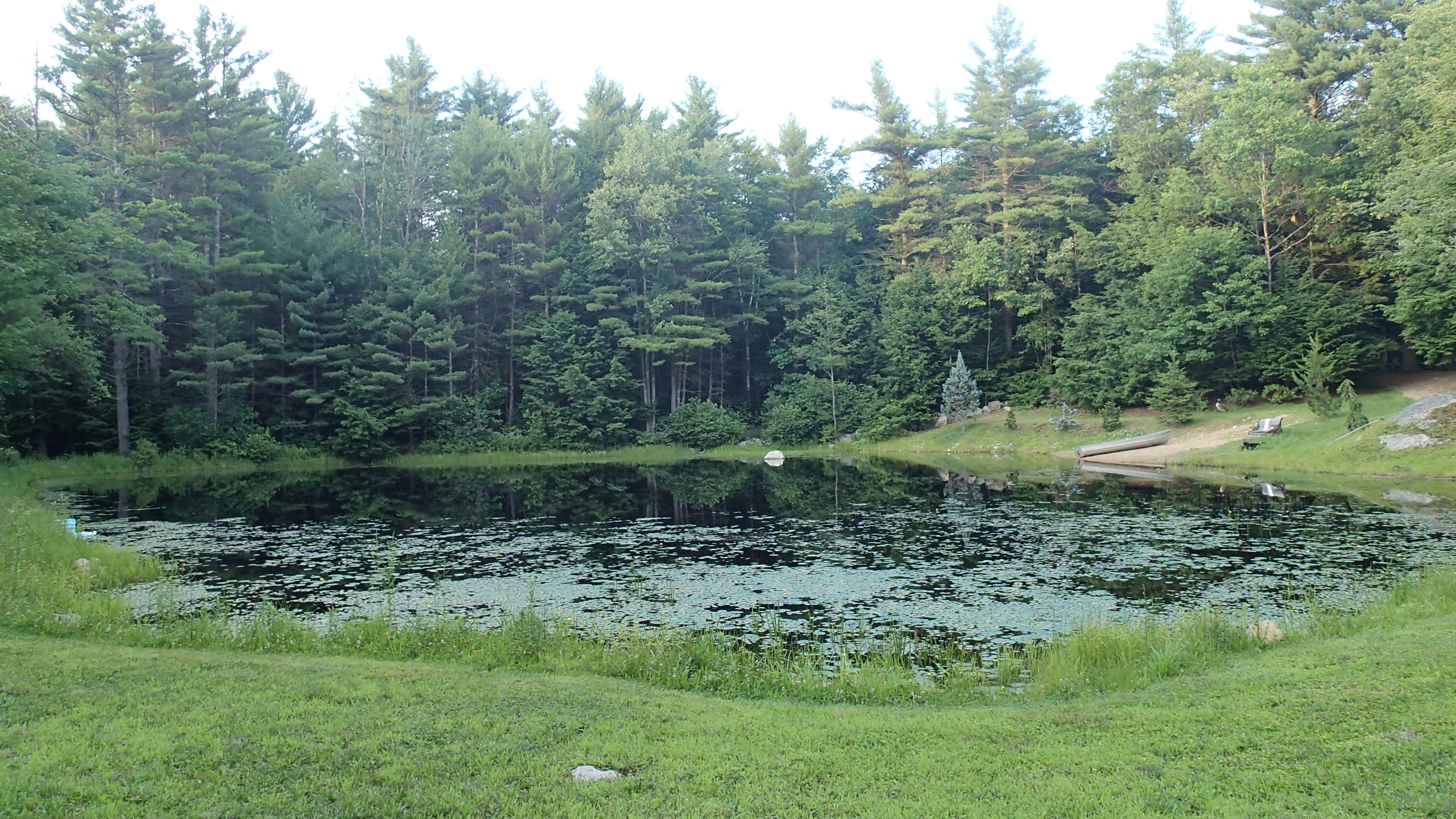
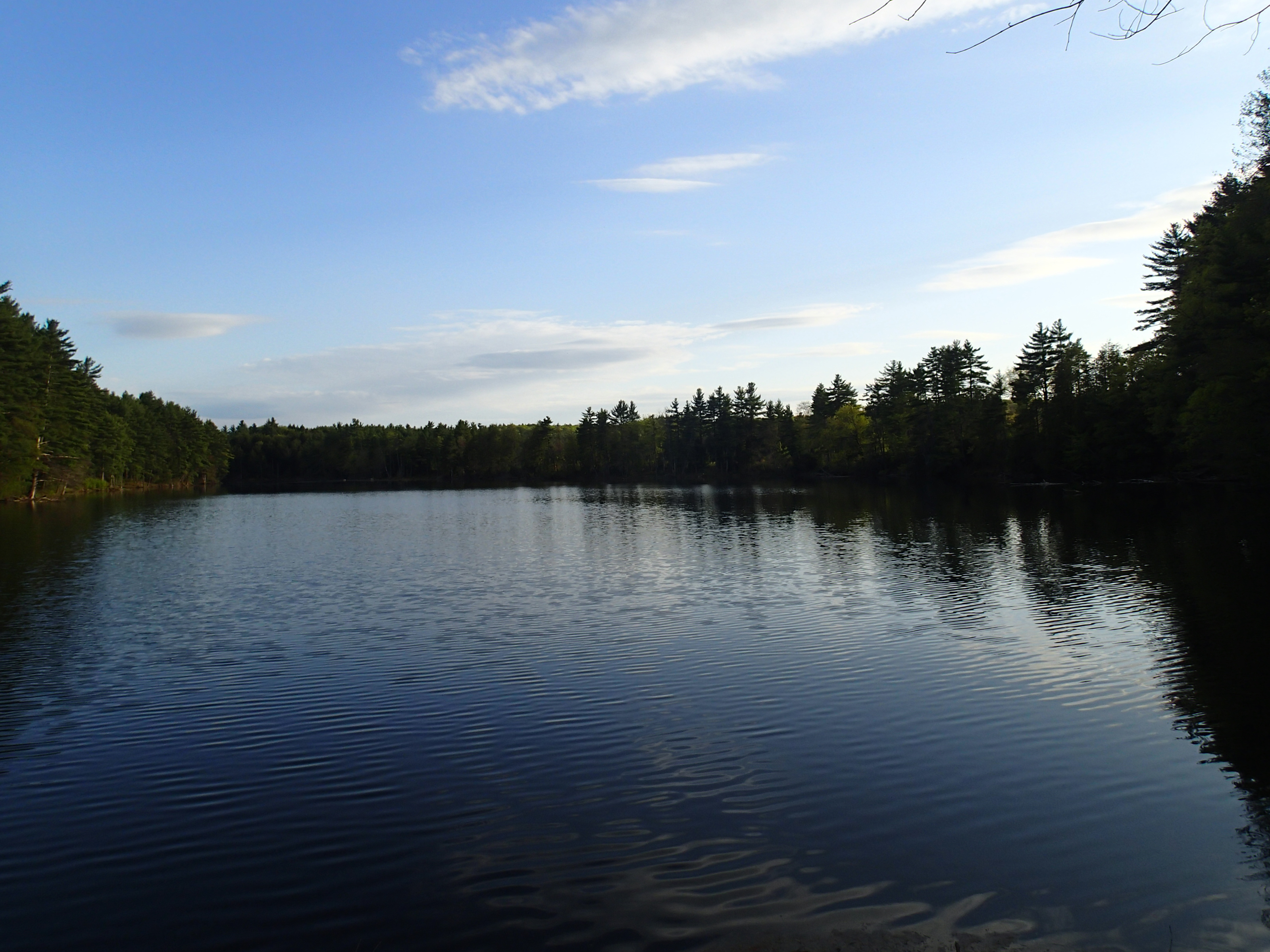
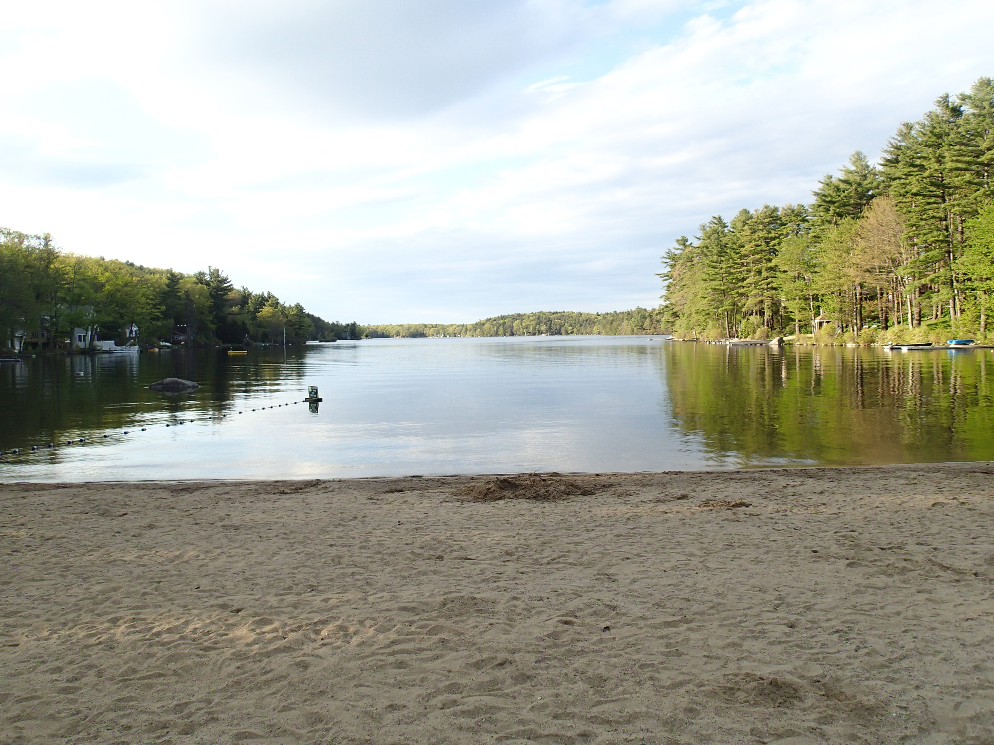
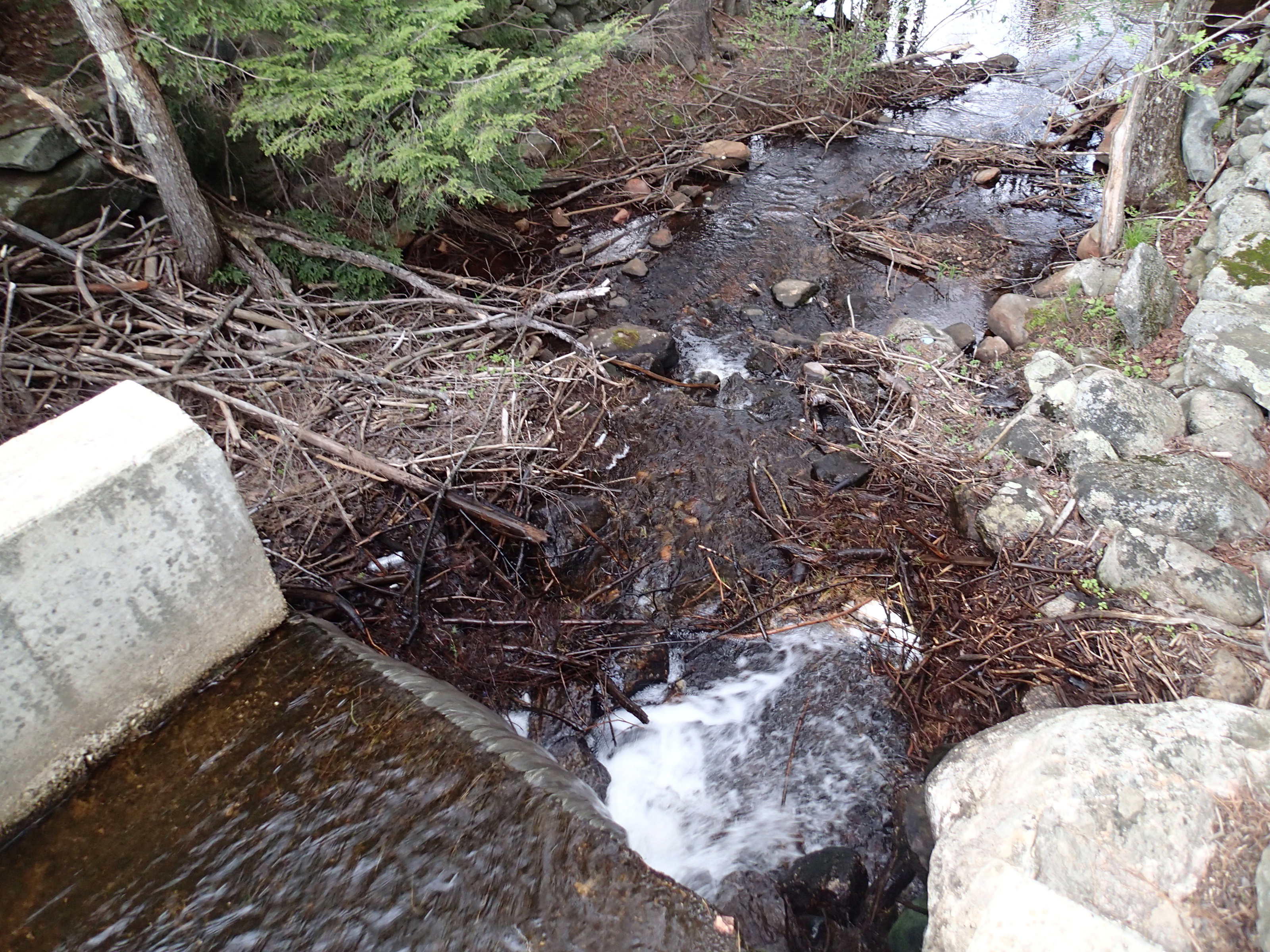
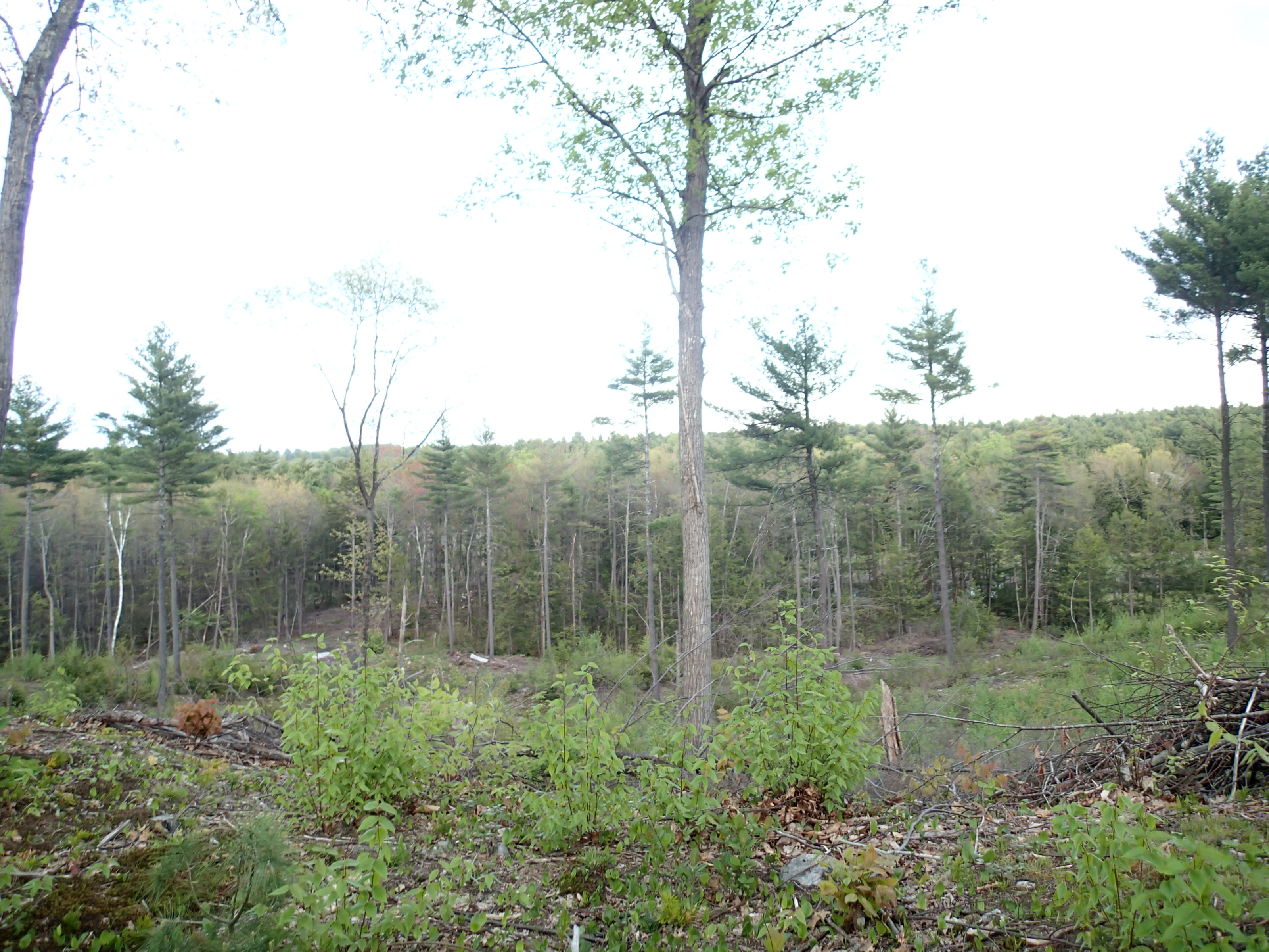
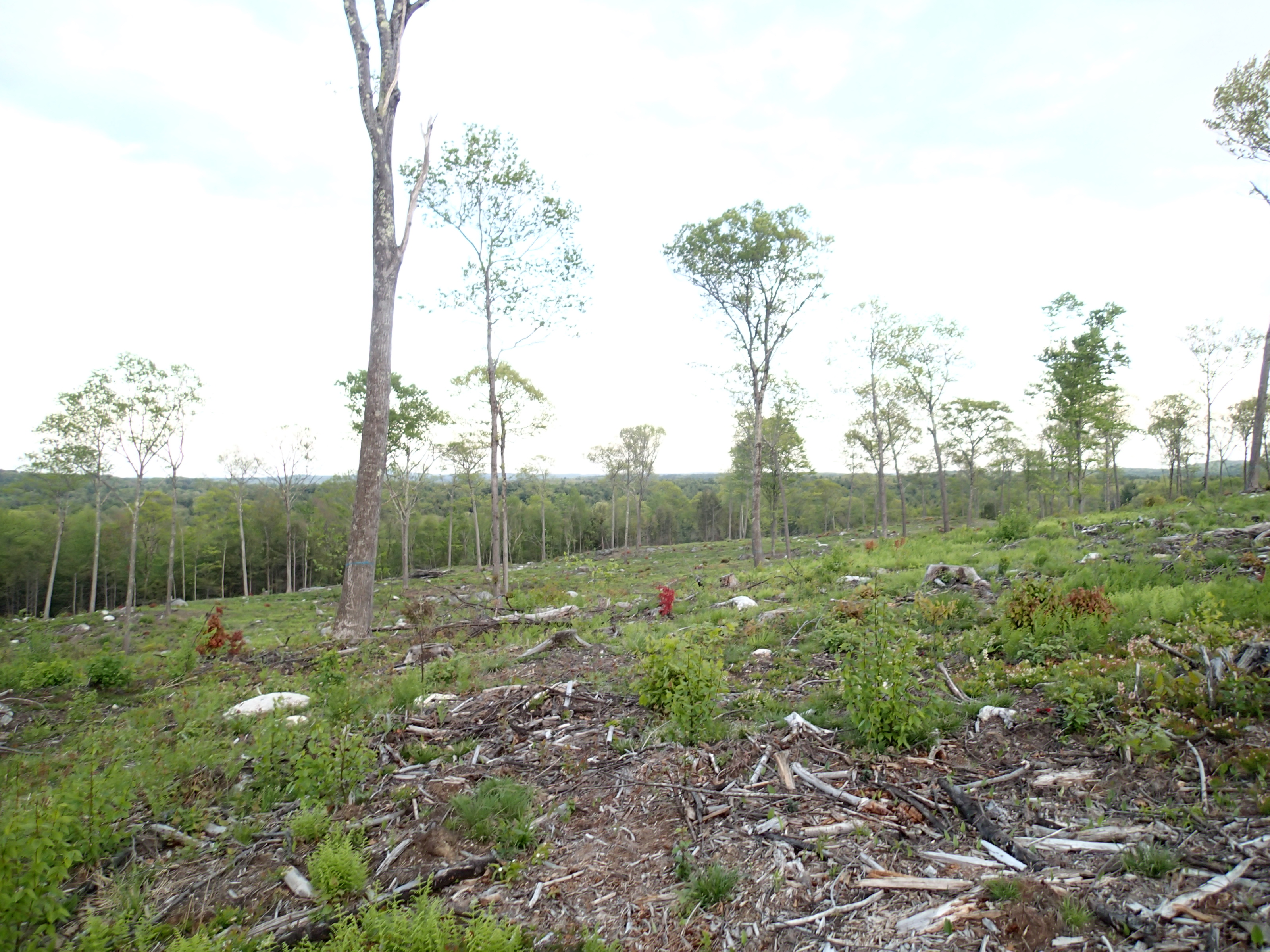
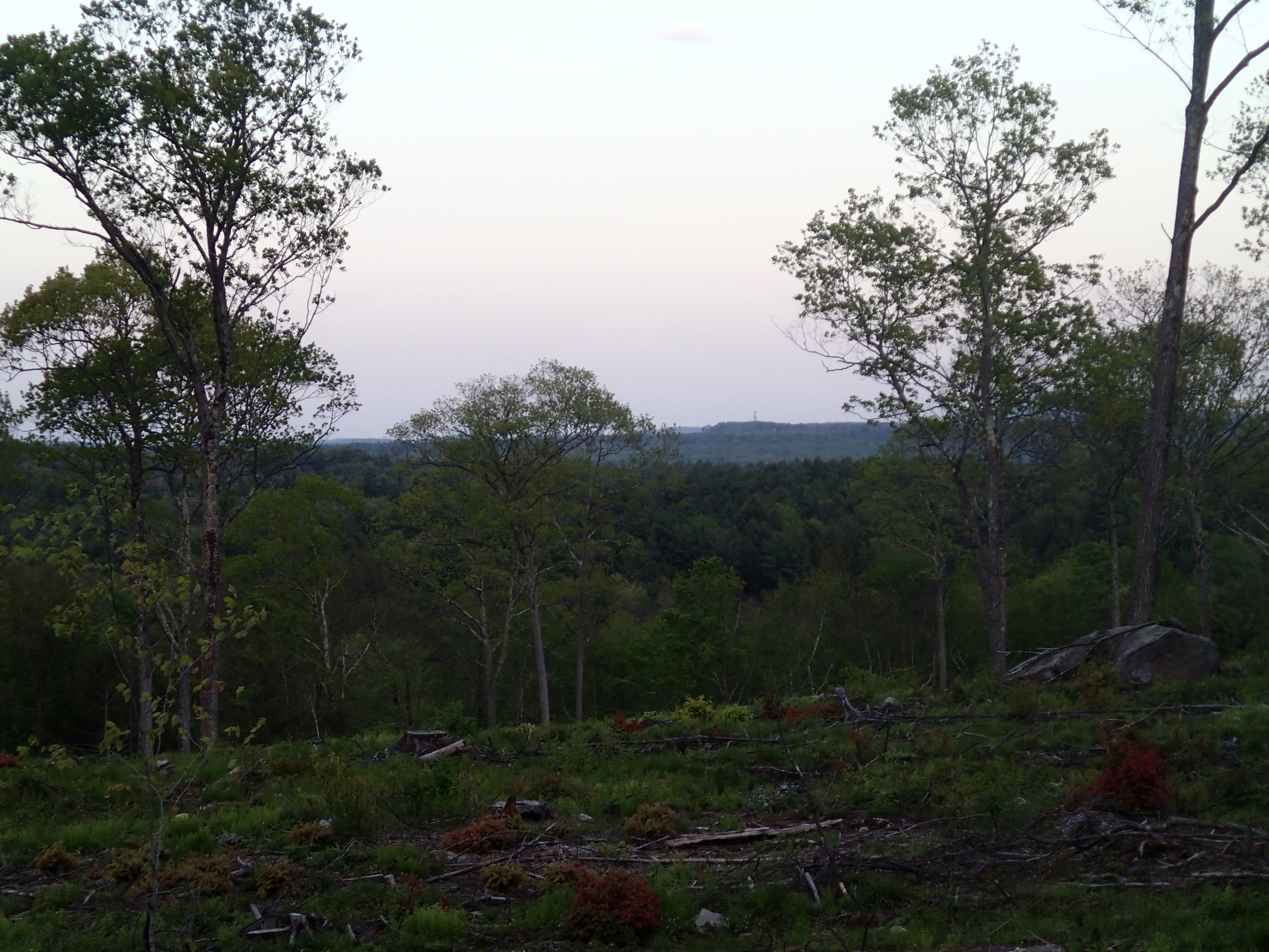
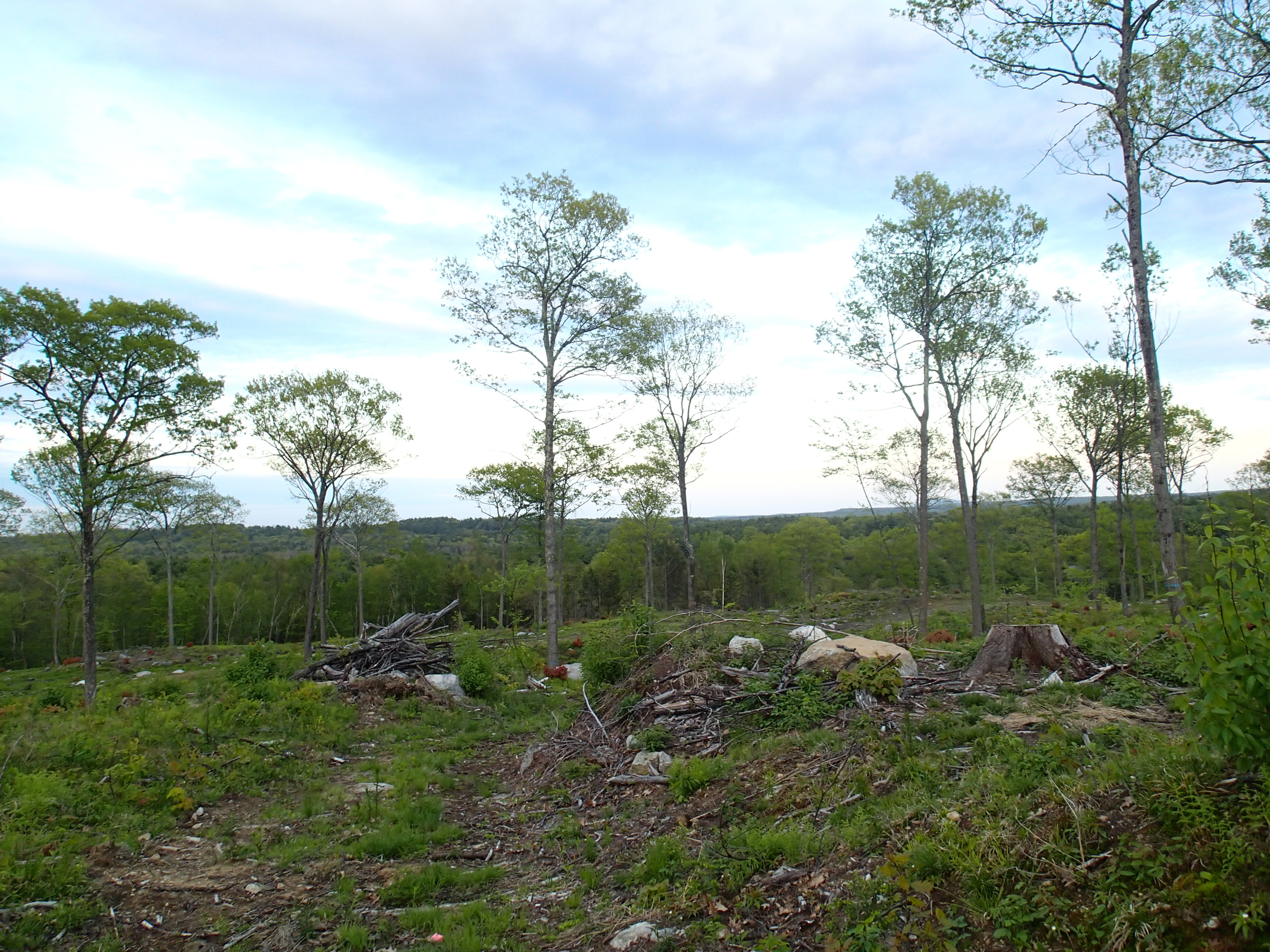
This morning, I decided to head to the northwestern 6th Circle to do some hiking, after a long hiatus due to the snow accumulation in the area. I started off by heading back to
Beaman Pond in Winchendon, located within the
Otter River State Forest. After parking at the main gate in Templeton, I walked past the gate on a paved road to get to the pond. Along the way, I spotted a really long earthworm making its way across the road after the early morning rains.
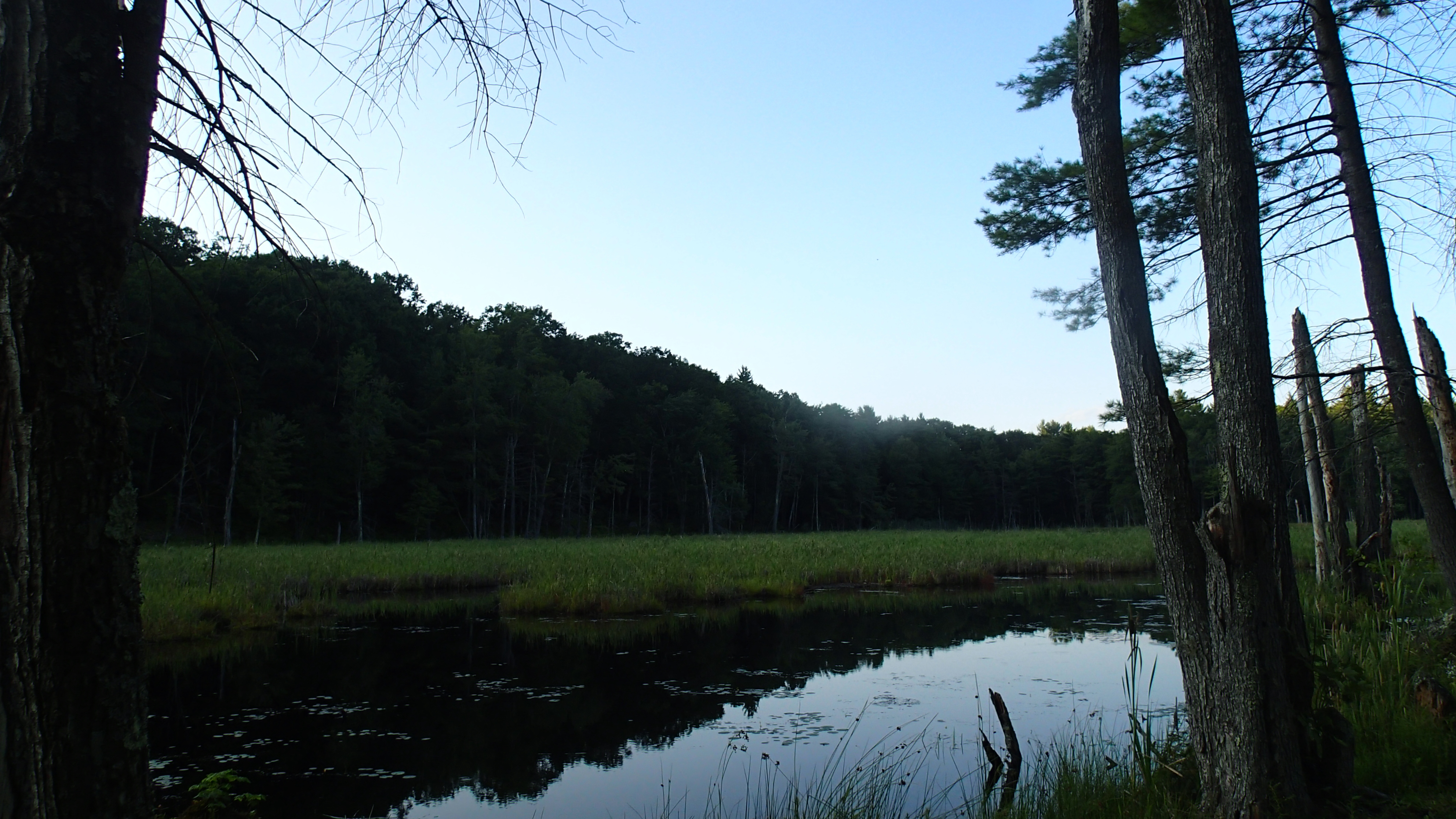
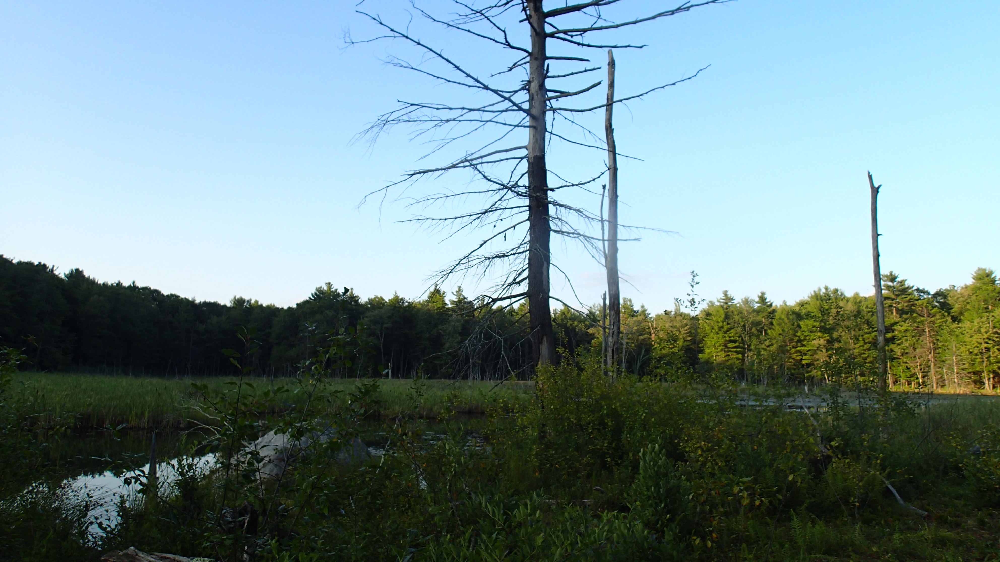
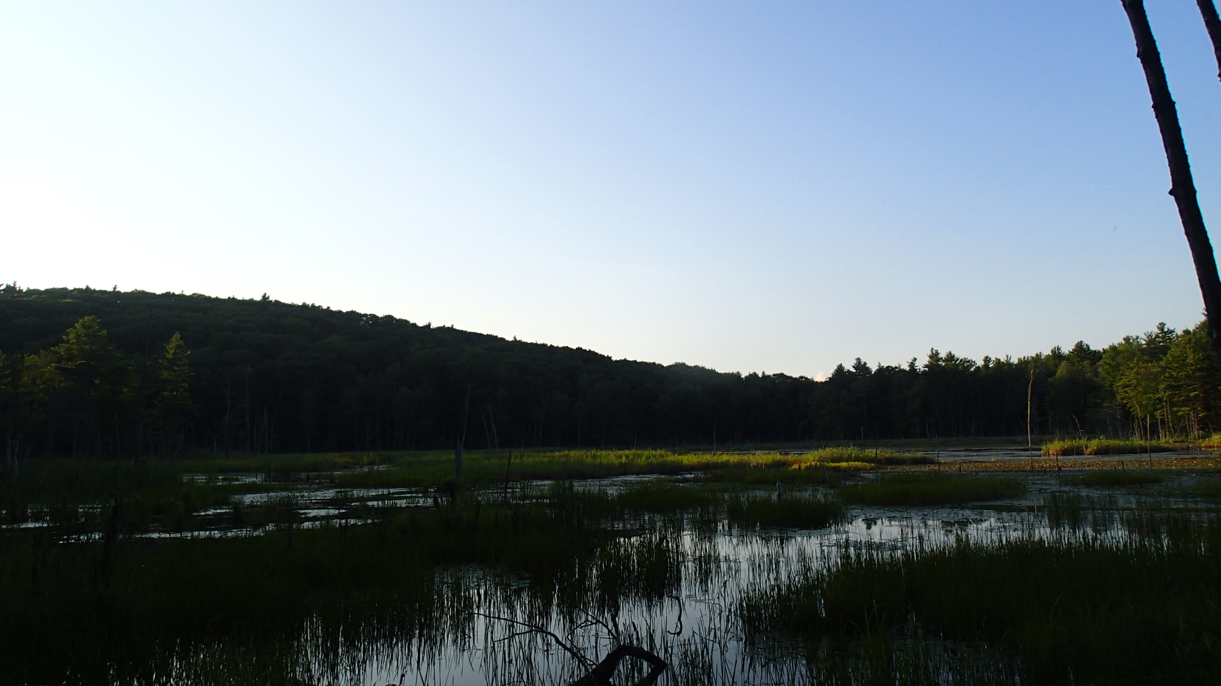
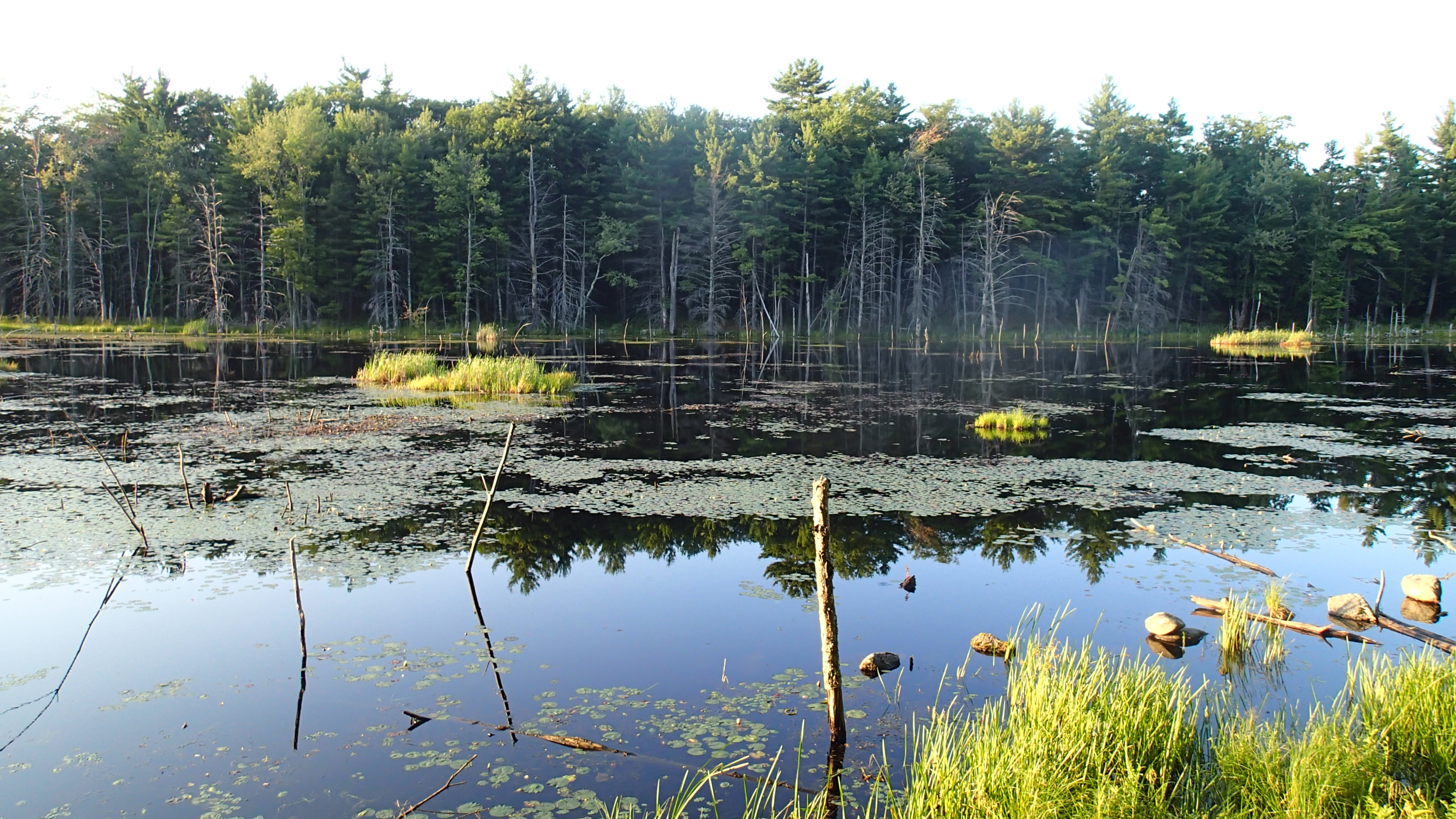
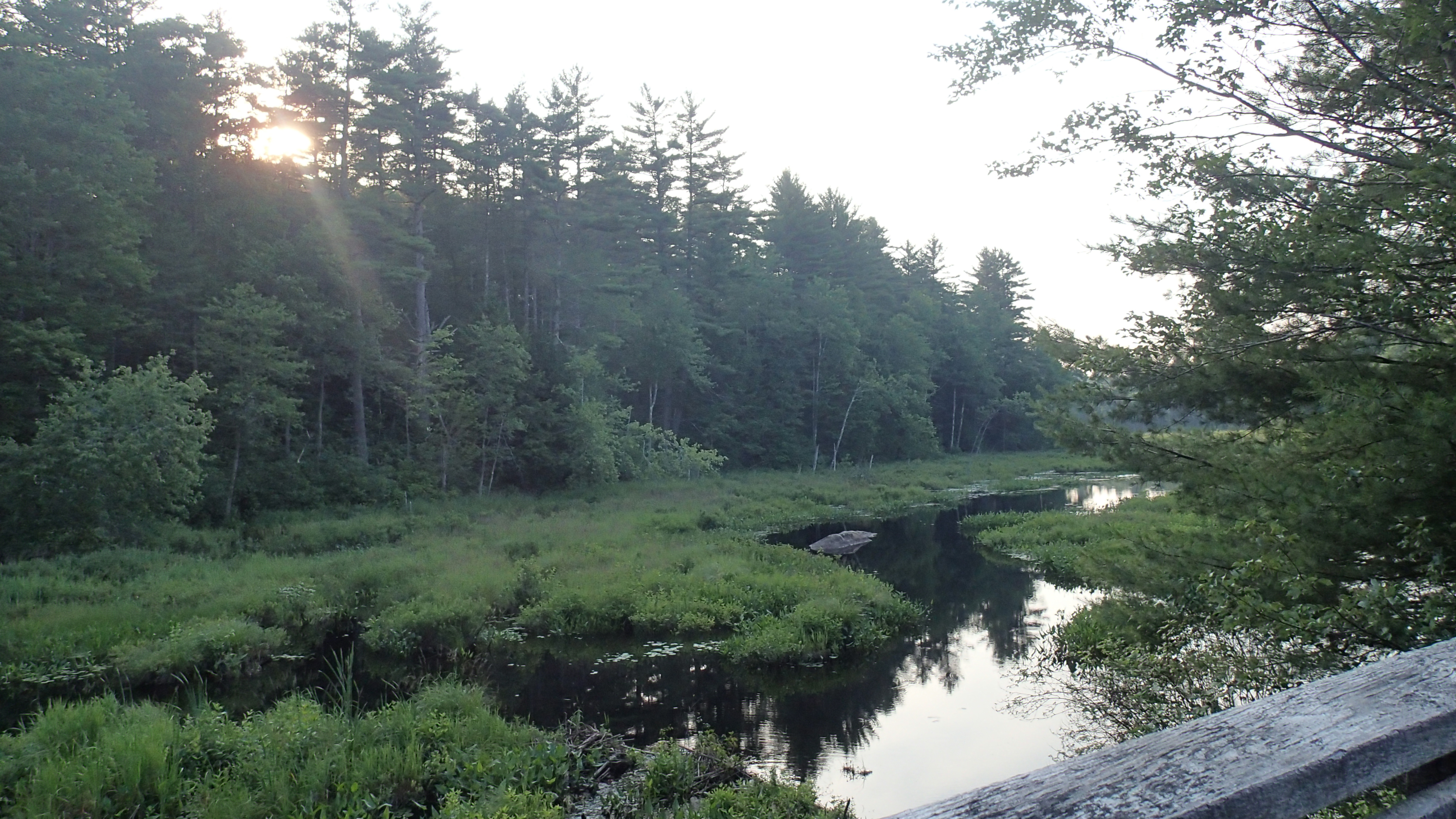
The pond itself looked really different than
when covered with a layer of ice. Pictures follow.


Next, I headed to the
Lake Dennision Recreational Area for
my second attempt to locate King Phillip Rock. The last time, I got stuck in the snow and had to be pushed out by a random passerby in the middle of the woods. This time round, the gate was locked, so I had to walk all the way there and back. The path I took here is shown below in pink.
It was a long walk to Middle Road, where I crossed a bridge into an area I did not venture into the first time.

From the intersection with River Road, I headed left down River Road to the bend in the path to find King Phillip Rock. This rock is just a large piece sitting on the side of the Millers River, which winds around it.
 |
| King Phillip Rock. |


Near here is another side trail that leads to the foundations of a stone bridge that can no longer be passed, where there are decent views of Millers River.


Here, I also spotted a perfect acorn that had been missed by squirrels and chipmunks alike, and decided to take a picture of it.
From here, I tried to find my way to Middle Road, but ended up getting lost by trying to head north. Thankfully, I eventually found a way back to River Road, and from here managed to make it all the way back to Lake Dennison and to my car.
 |
| Lake Dennison |
I wanted to head to
Royalston Falls in Royalston next, but my car was running out of gas, so I had to drive to Athol instead to get gas, and ended up getting brunch at Rockin' Robin's, a small cafe on 567 Main Street to justify the long detour. I got spam and eggs as I had not had spam for such a long time now, and it was good.
With that I headed back toward Royalston Falls, located at the end of Falls Road in Royalston. Unfortunately, much of the path is inaccessible by car, so I had to park along Falls Road, and the path I took to get to and from the falls is shown below in pink.
After what seemed like an eternity of walking along the uneven road with only my compass, my GPS and my map to guide me, I finally saw the sign indicating the trailhead of the Connector Trail leading to the Tully Trail and the Royalston Falls. After another 0.3 miles of hiking through the woods from here, I finally came onto a rocky area where the falls were. Pictures of the Royalston Falls area, which was pretty spectacular, follow.
 |
| The Royalston Falls |


After this I headed to the
Jacobs Hill area on Warwick Road close to North Fitzwilliam Road to look at the views there, as well as at the Spirit Falls and The Ledges. The route I took after parking at the small parking area there is shown below in pink.
I first crossed the power lines here.
I then continued along the trail until I saw signs which led me to the Jacob Hill Overlook, where there were beautiful views of the surroundings and Long Pond below.


My next destination was The Ledges, and I proceeded south along the Tully Trail to get there, and along the way was another partial view of the mountains to the west. Here, I spotted a group of boy scouts taking a break from their trek along the Tully Trail.
The path to The Ledges is actually a side trail, and a pretty long one at that, but the trip was worth it, with the great views of Tully Lake from afar.
 |
| Bench at the Ledges |


From here, I backtracked all the way to the Tully Trail, turning left to follow the Spirit Falls along a steep incline downhill. Pictures of the waterfalls here, which were small but many, follow.


From here, I headed onto a side trail to follow the shoreline of Long Pond, all the way back to the power lines. Views of Long Pond follow.


At the power lines, I had to climb up a really steep incline (Jacobs Hill) to get to the top, although the views here were terrific.
 |
| At the bottom |
 |
| At the Top |
From the top, I could see Warwick Road right beside me, so I decided to bash through to it and head back to my car along the road instead. By this time, I was already exhausted from all the hiking, but as there was still daylight, there was still more to go.
I then headed to the
Doane's Falls area, located on the corner of Doane Hill Road and Athol Road. The route I took here is highlighted in pink below.
The falls here were the best I had seen so far today, and pictures of them follow.
 |
| Doane's Falls |


I then headed to the Canoe Launch Area further down Doane Hill Road, where the Lawrence Brook feeds into the Tully Lake.


The last place I went to was the
Tully Lake Dam area, located on Athol Richmond Road near Doane Hill Road. There is a recreational area here by the shores of the Tully Lake, with beautiful views of the water body.


At the top of the dam, there were great views of the surroundings as well.


With that I was finally done with Royalston, and back to Athol to visit a few places, including
Silver Lake and Lake Ellis which I had
visited before while they were still frozen.
Silver Lake Park


Lake Ellis

Deciding not to do any more hiking, I headed to Phillipston to see what the
Lamb City Campground was about, but I was not allowed to enter anyway, so I headed to my last town of the day, Barre, to visit the
Pine Ridge Snow Park. This is a pretty small ski area, and of course it was not operating as the winter season has come and gone.
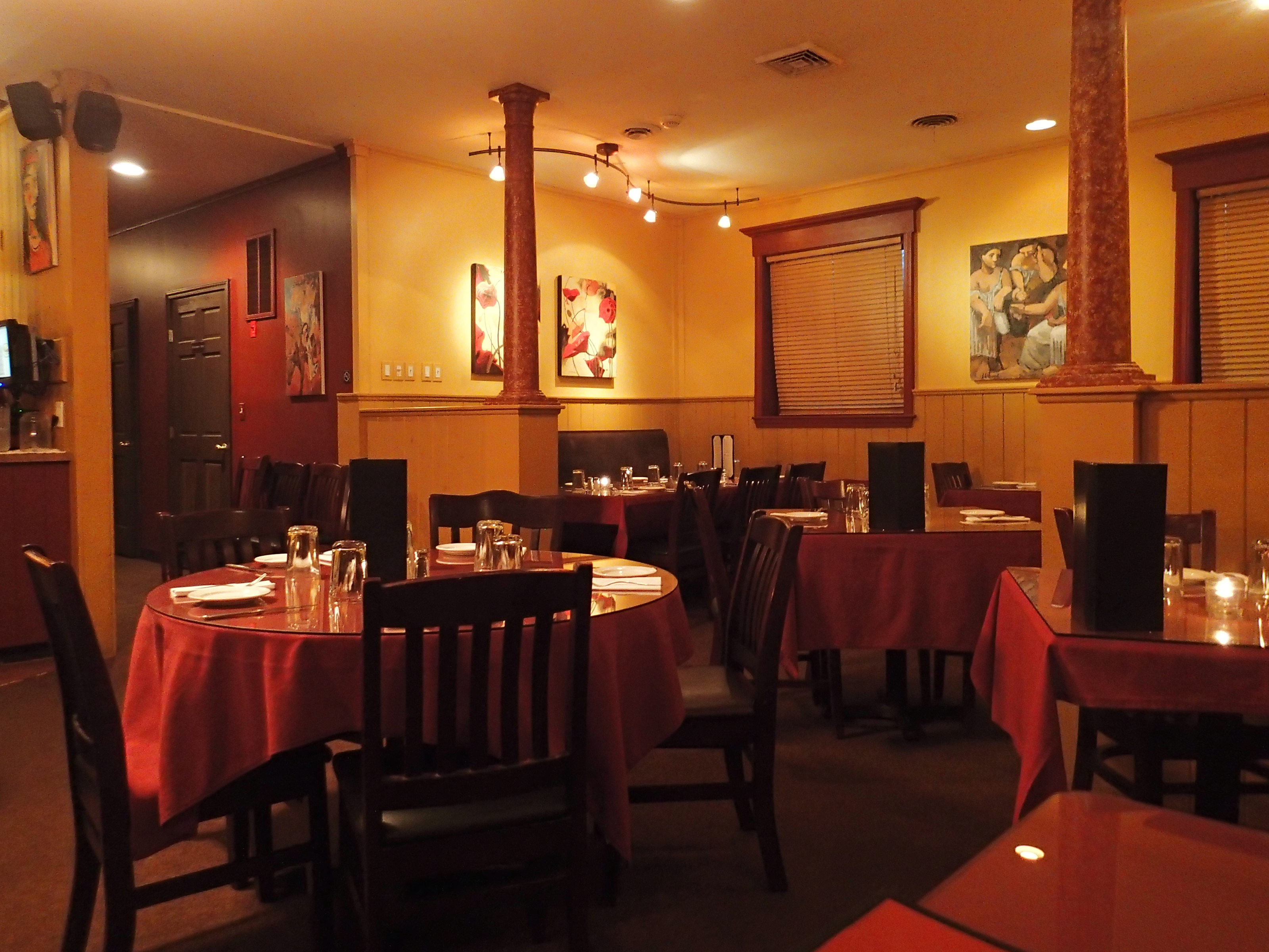
With that, it was time for dinner at the
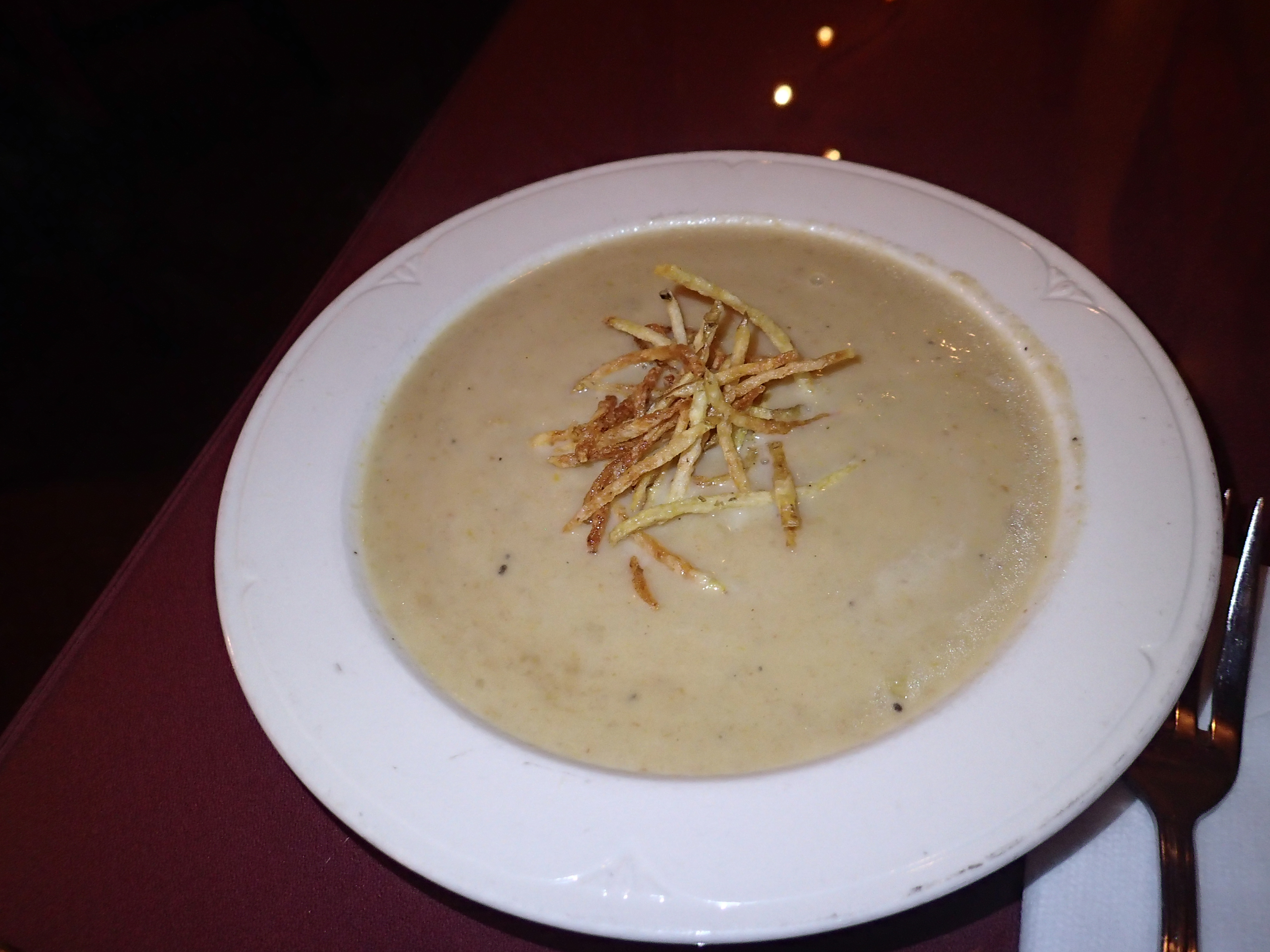
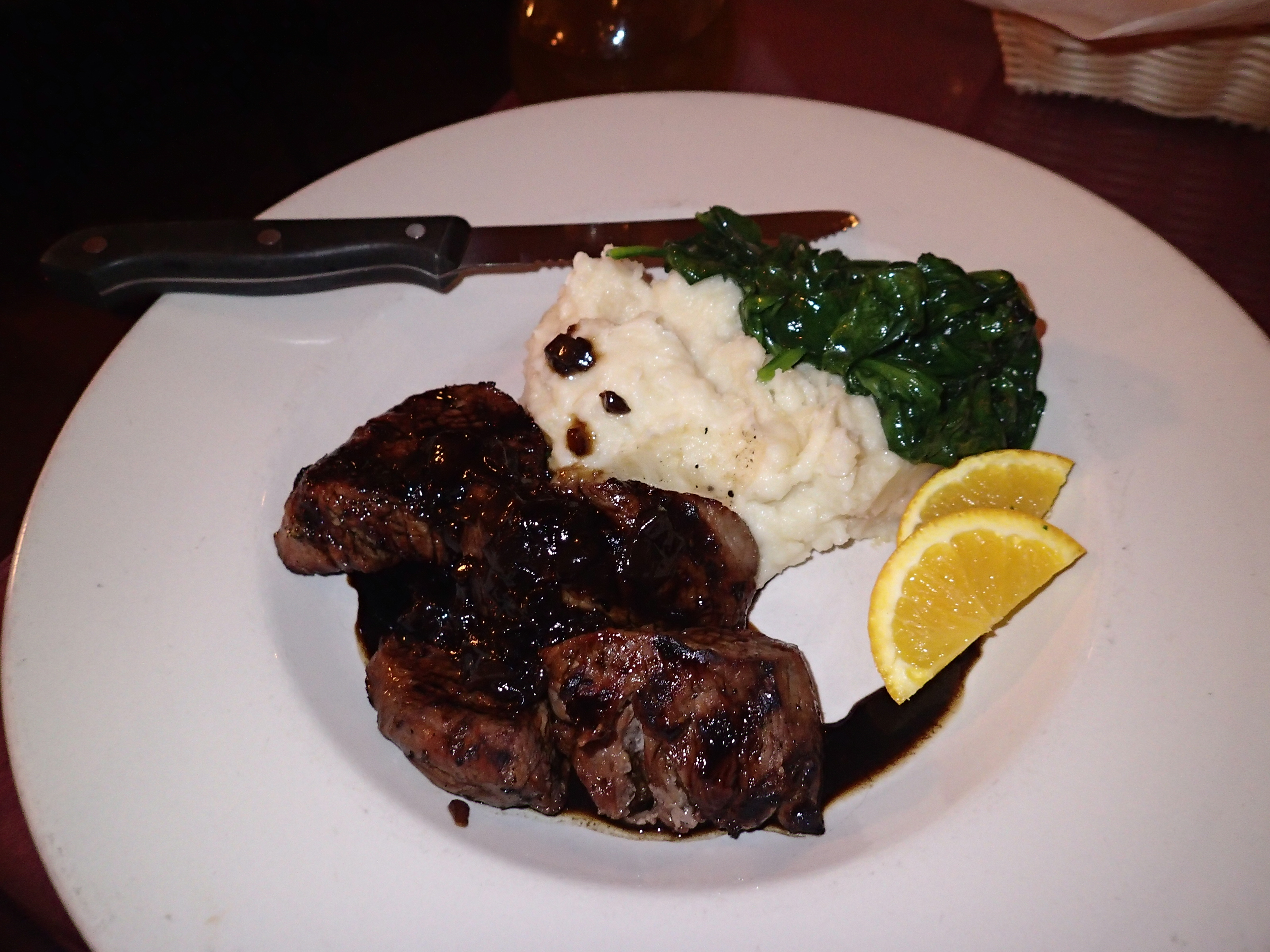
Barre Mill Restaurant, where I had a $30 Livingsocial deal. It was really hard trying to spend that $30 here, so I got the Seafood Chowder, Lobster Stuffed Mushroom Caps appetizer, Lobster Casserole with Mashed Potatoes on the side, and a Chocolate mousse dessert.
 |
| Seafood Casserole |
 |
| Bread starters |
 |
| Chocolate Mousse |
 |
| Lobster Stuffed Mushroom Caps |
 |
| Lobster Casserole with Mashed Potatoes |
I was amazed that I was able to get through all of them, but I thoroughly enjoyed my last meal for the day, after a long day of hiking, and I ended up paying only 5 bucks for the meal.