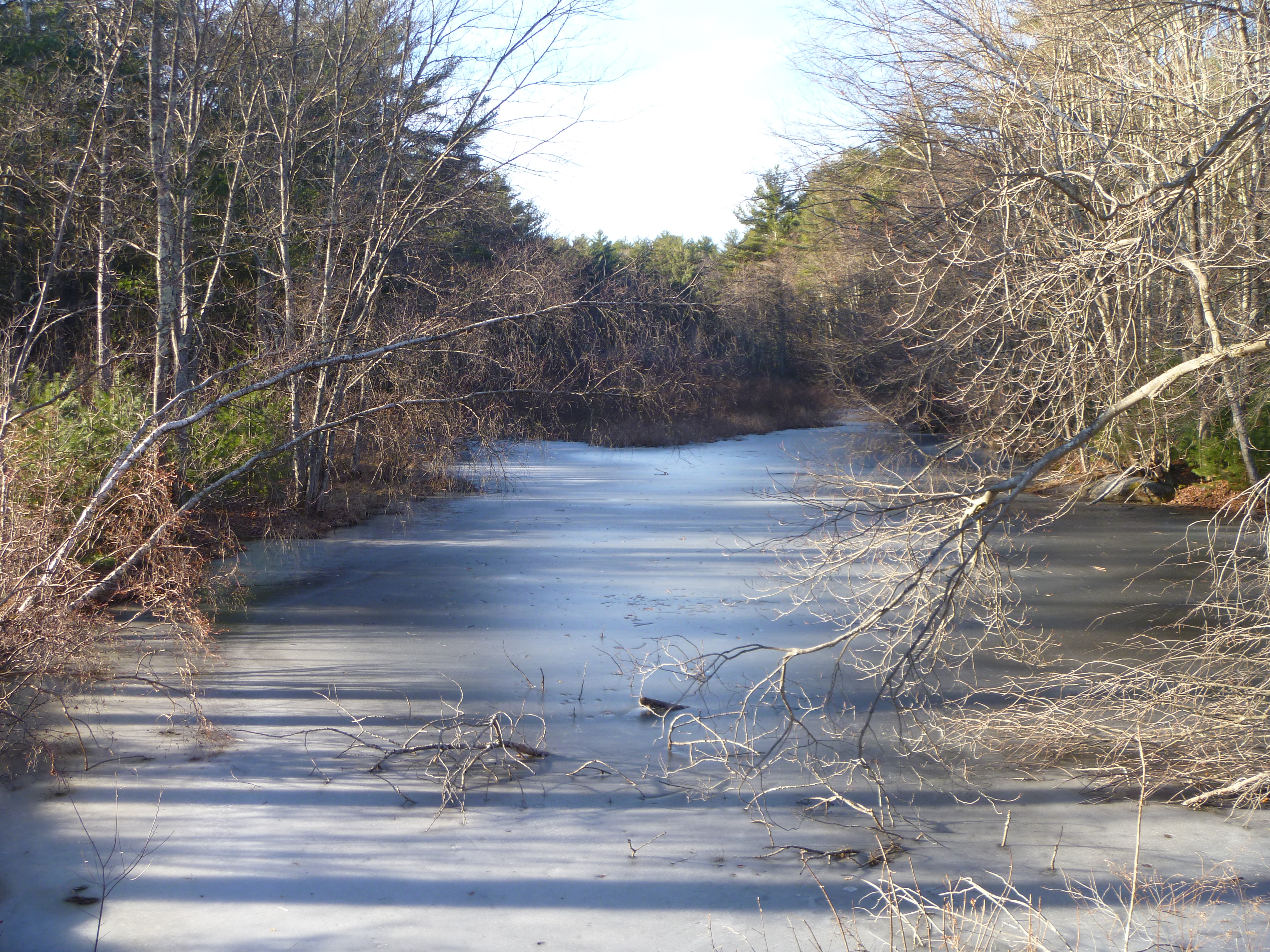
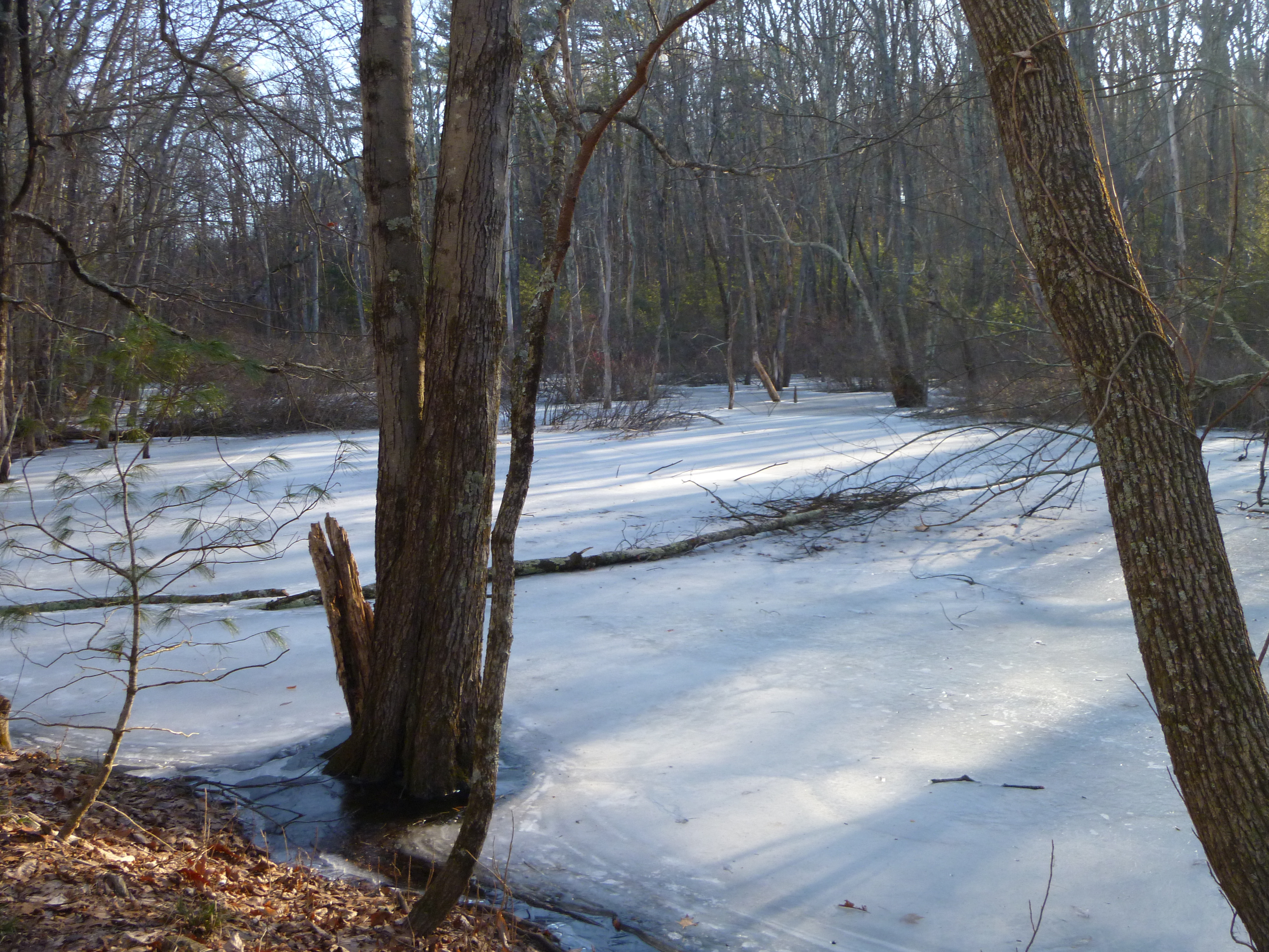
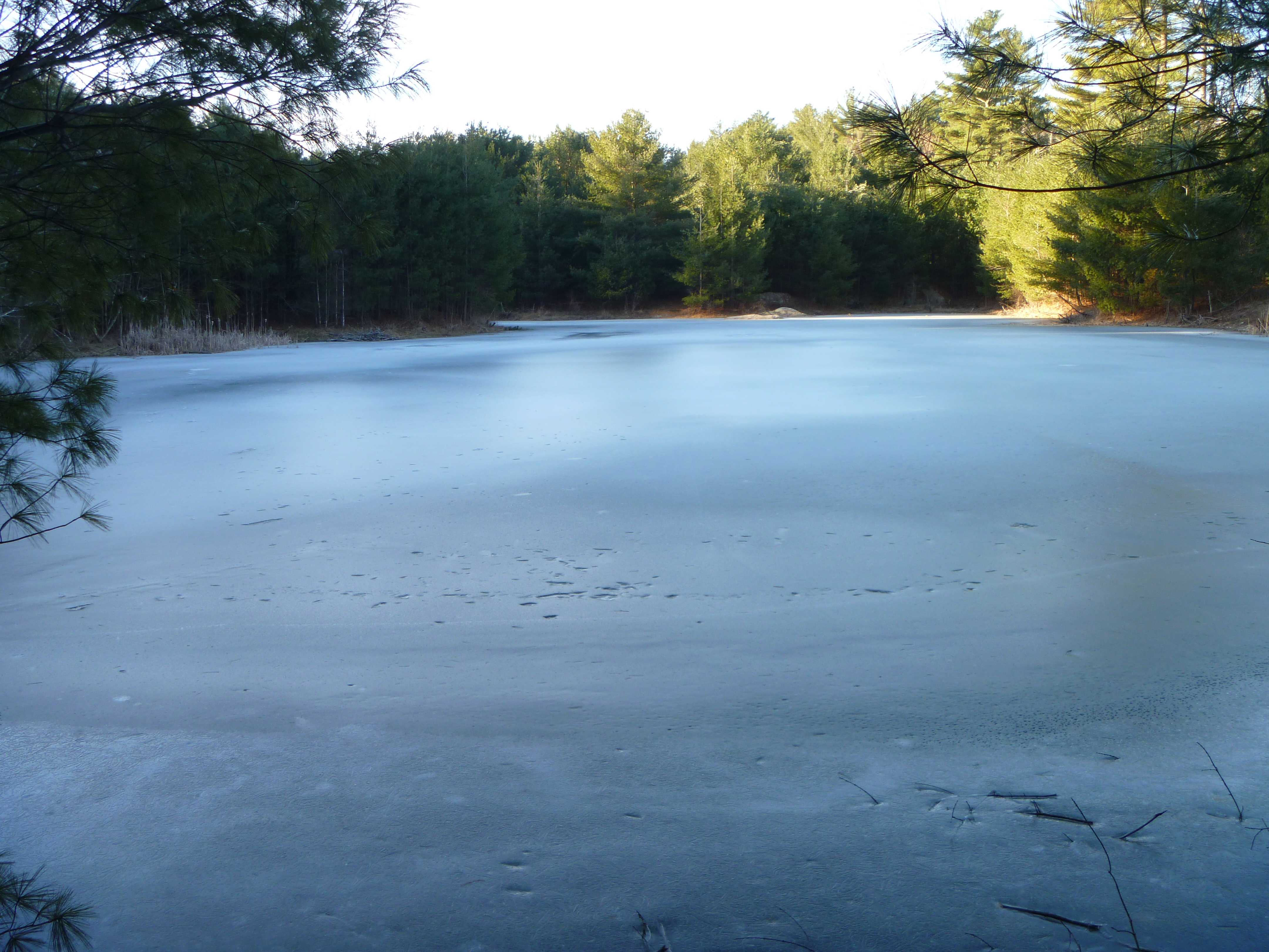
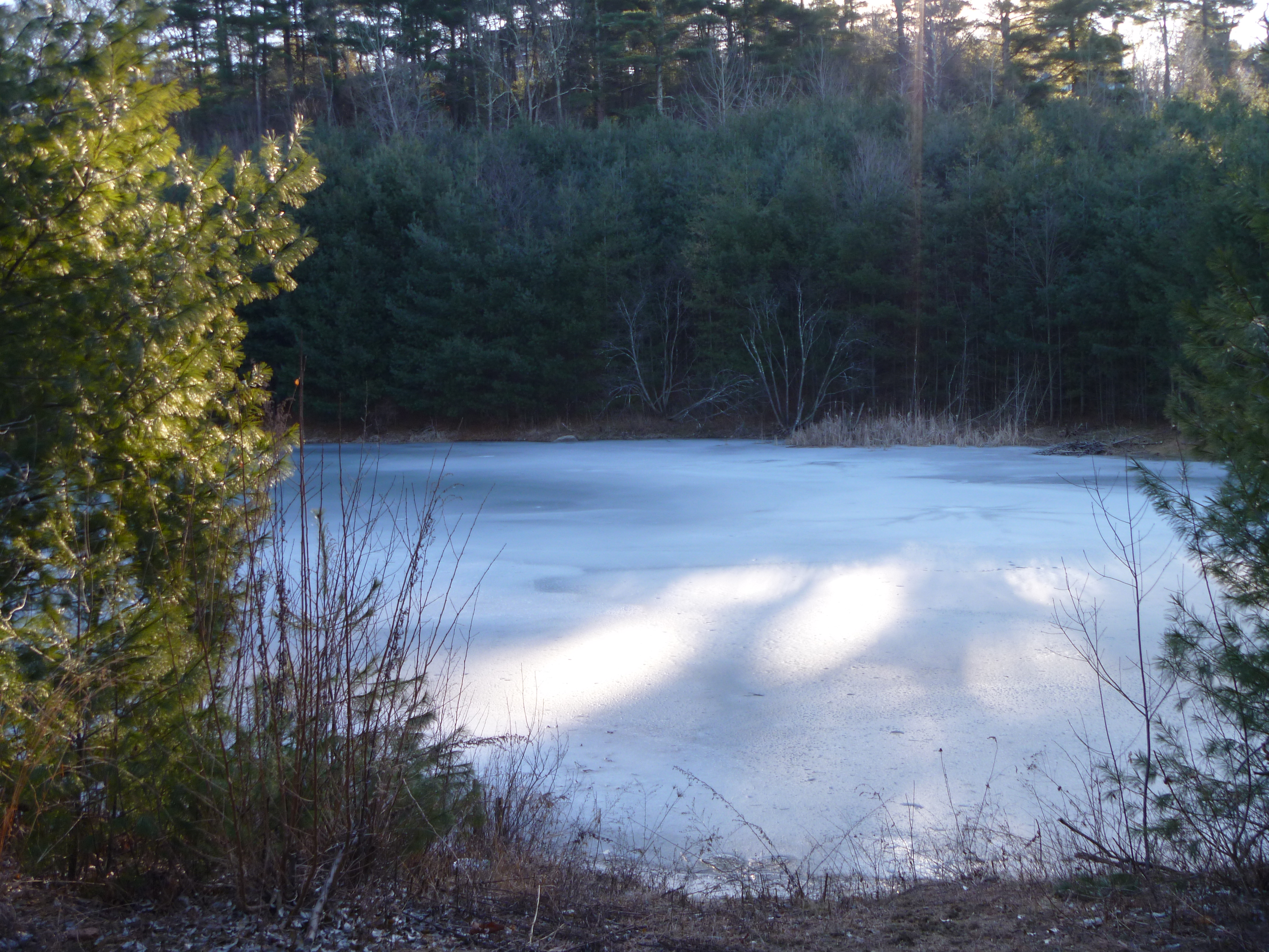
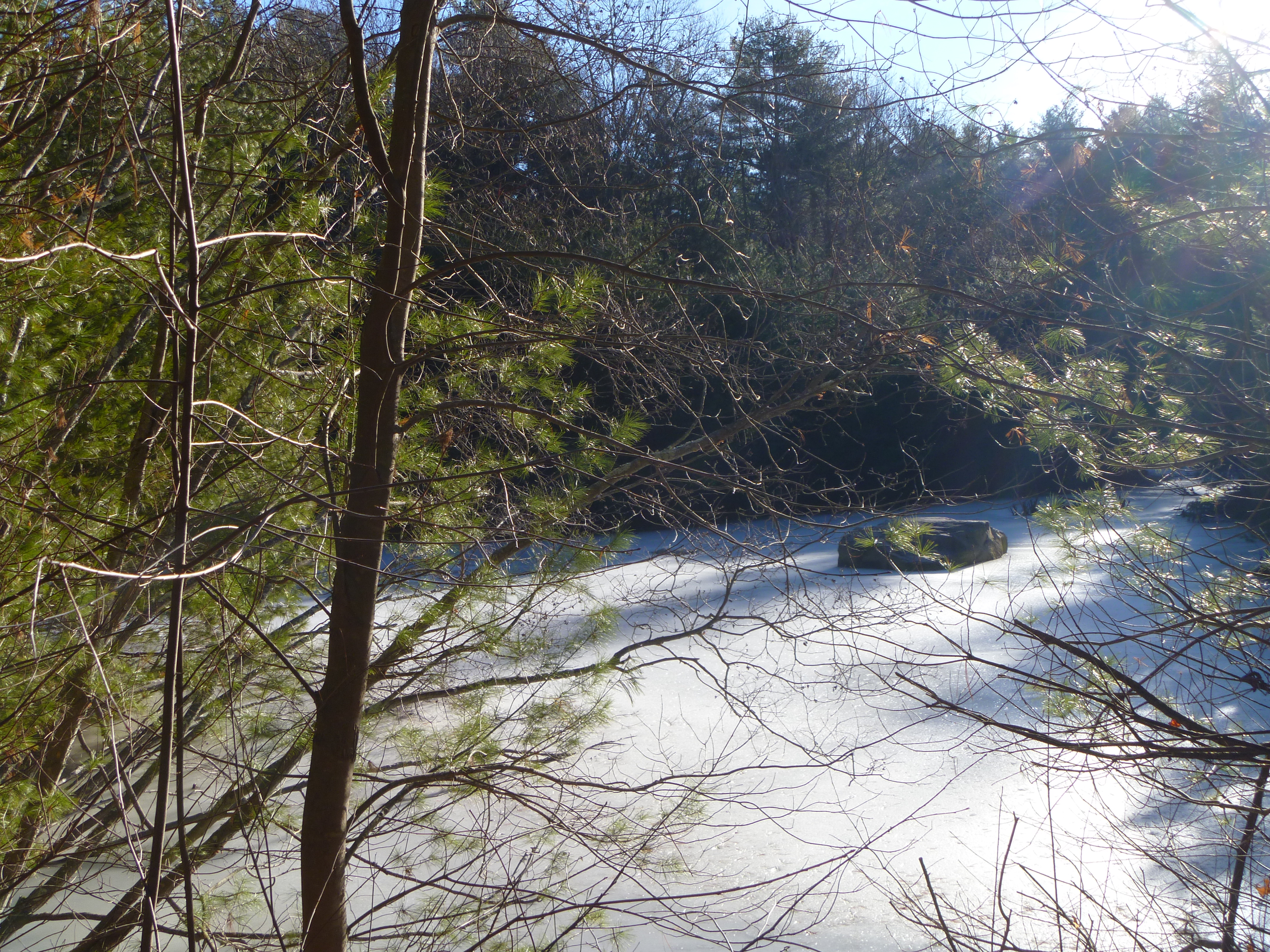
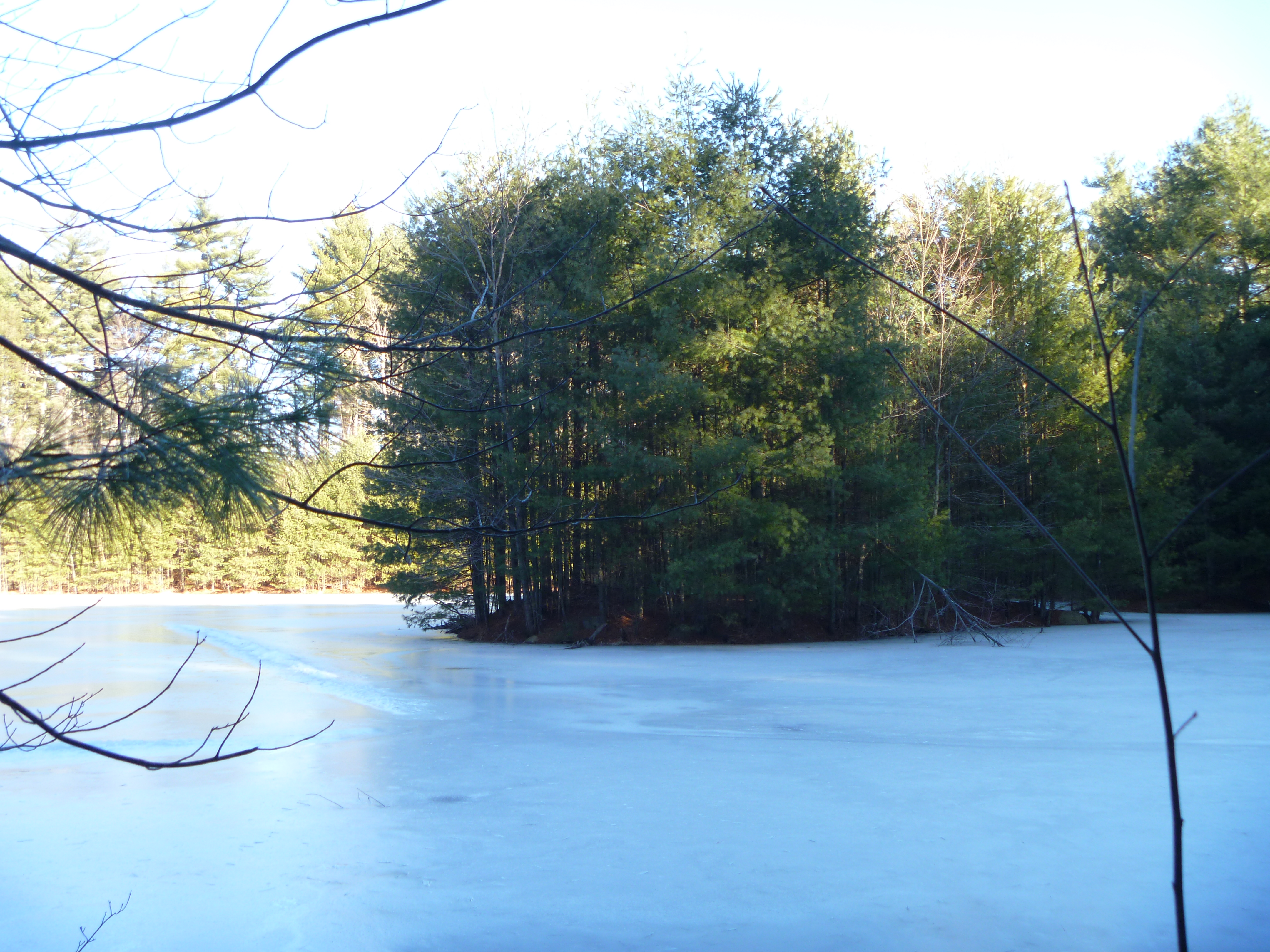
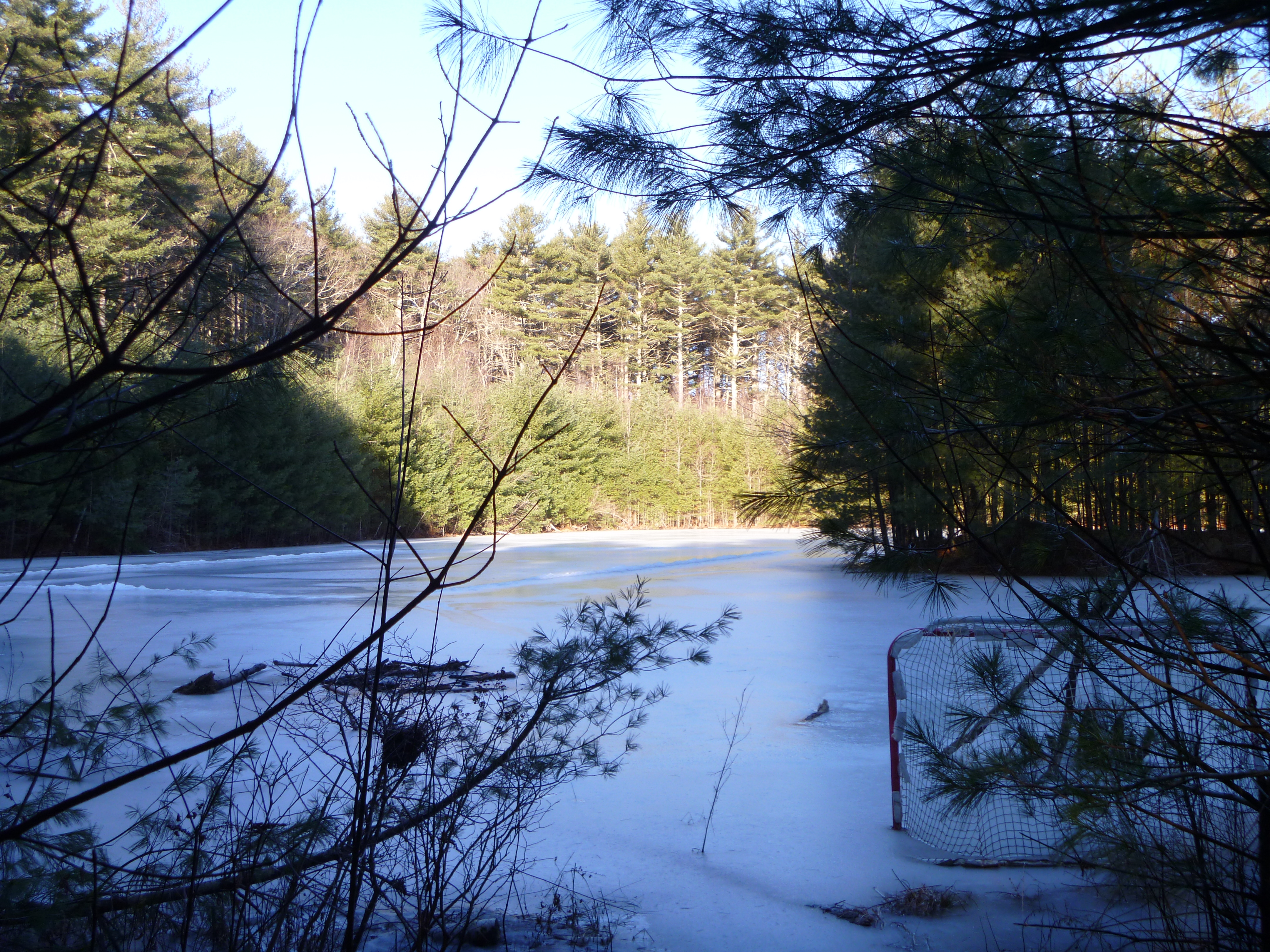
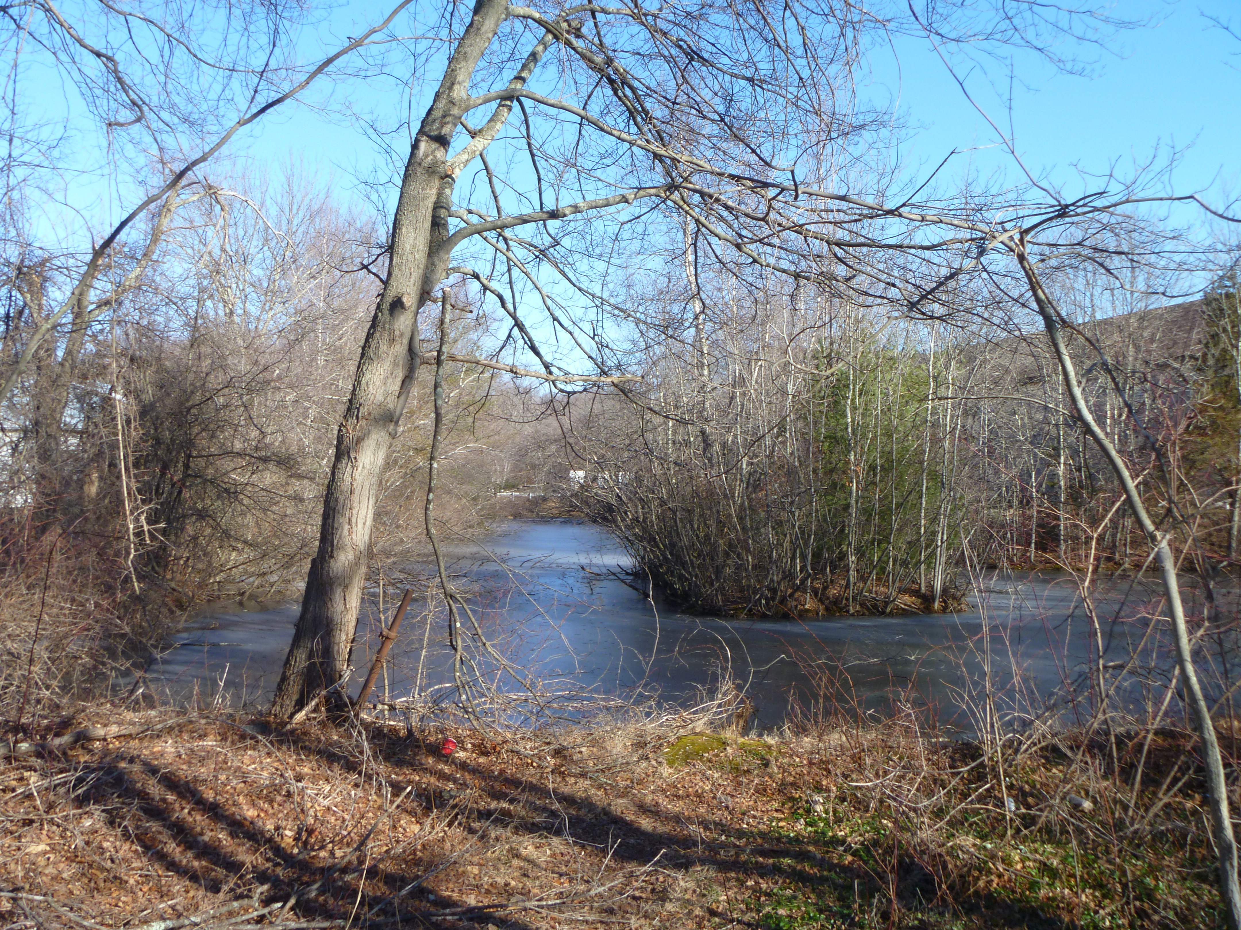
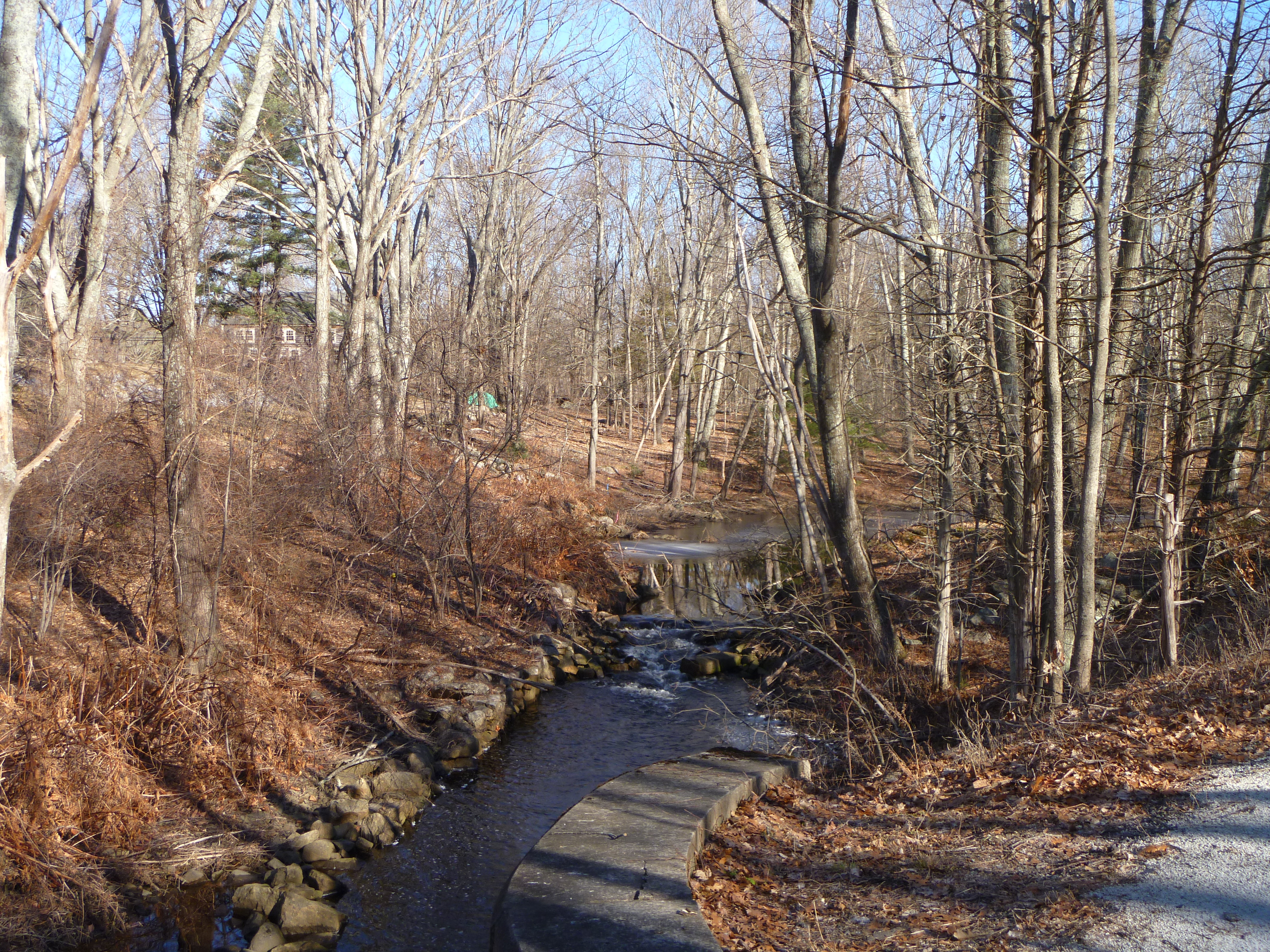
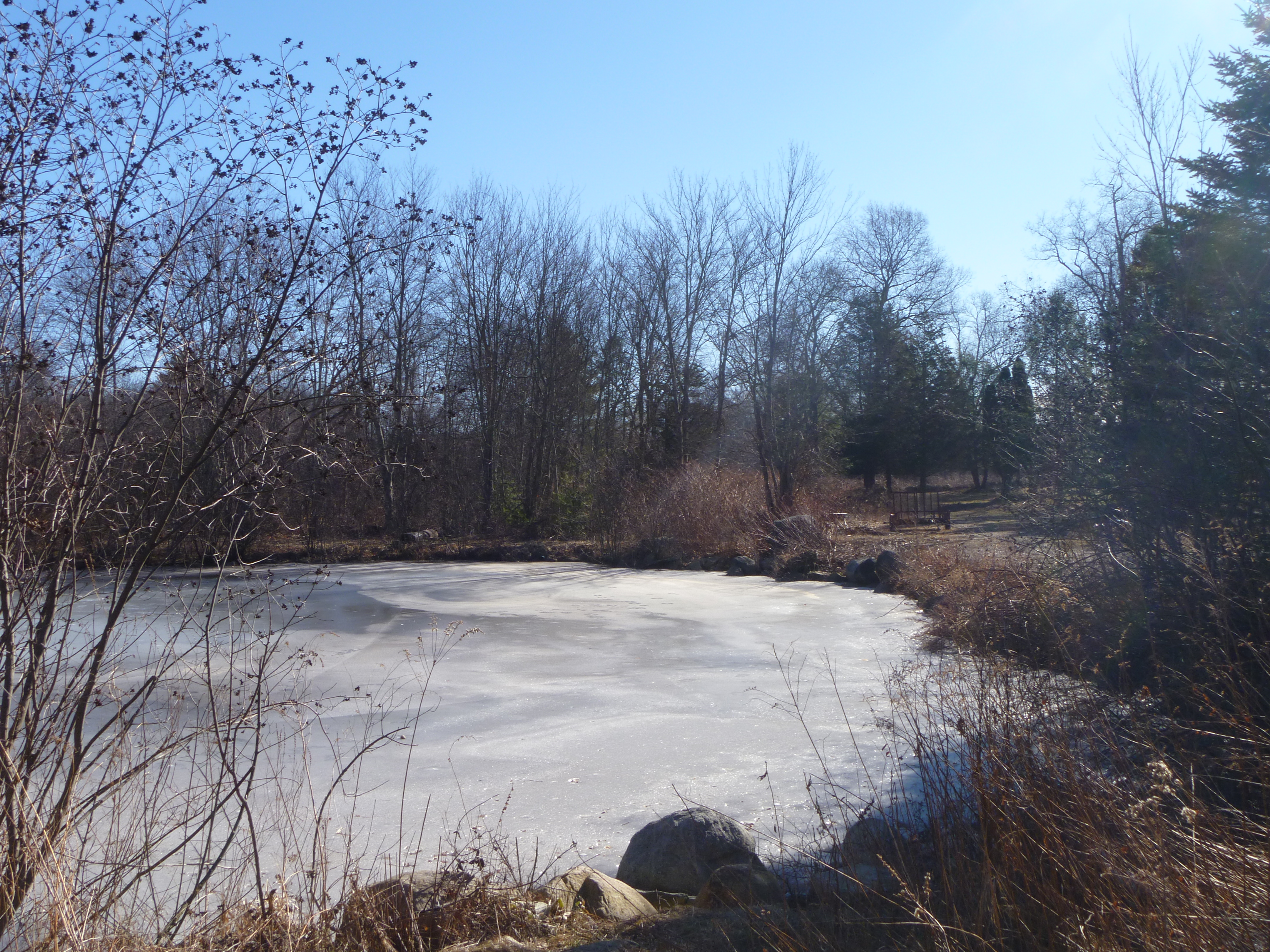
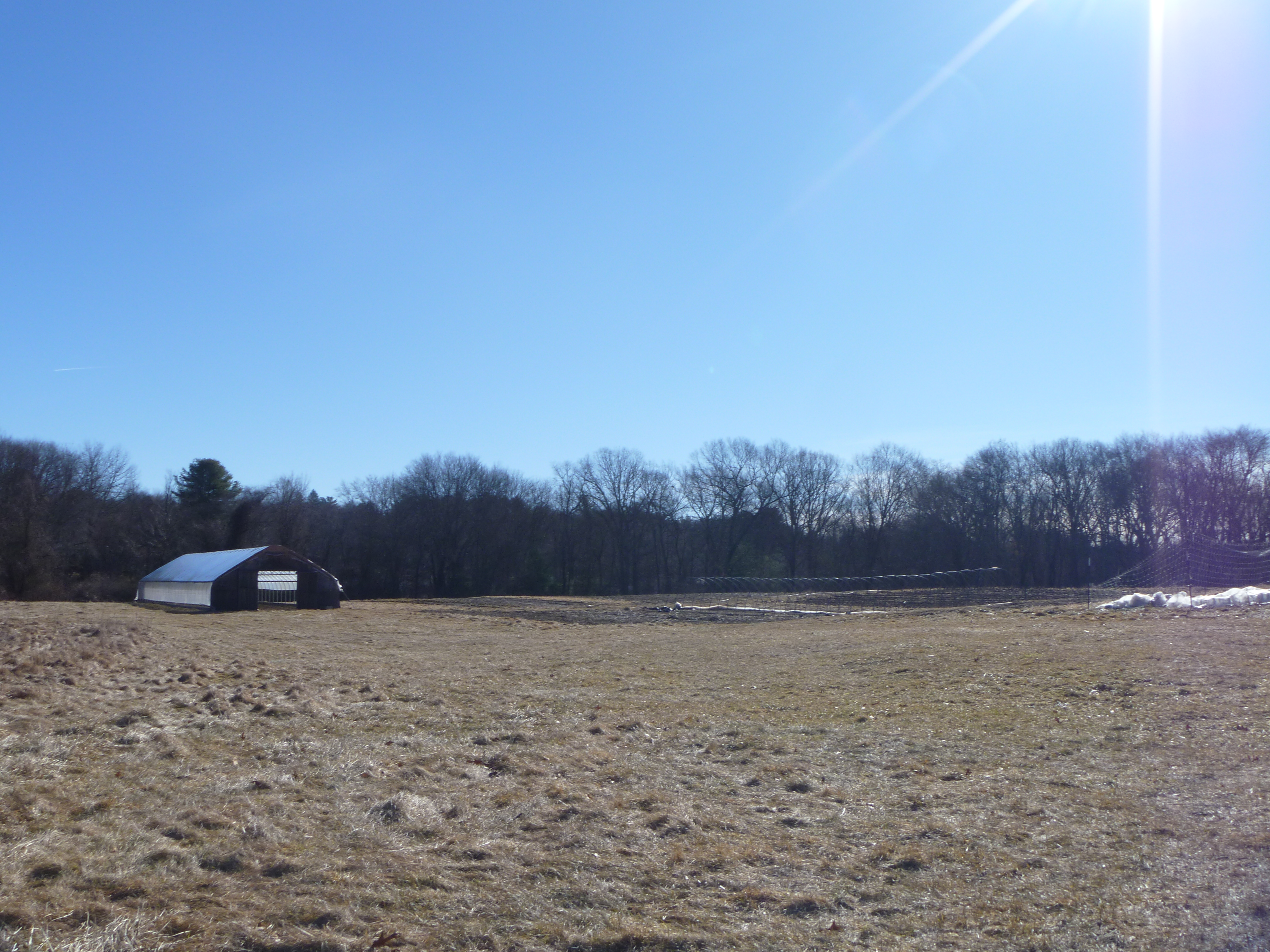
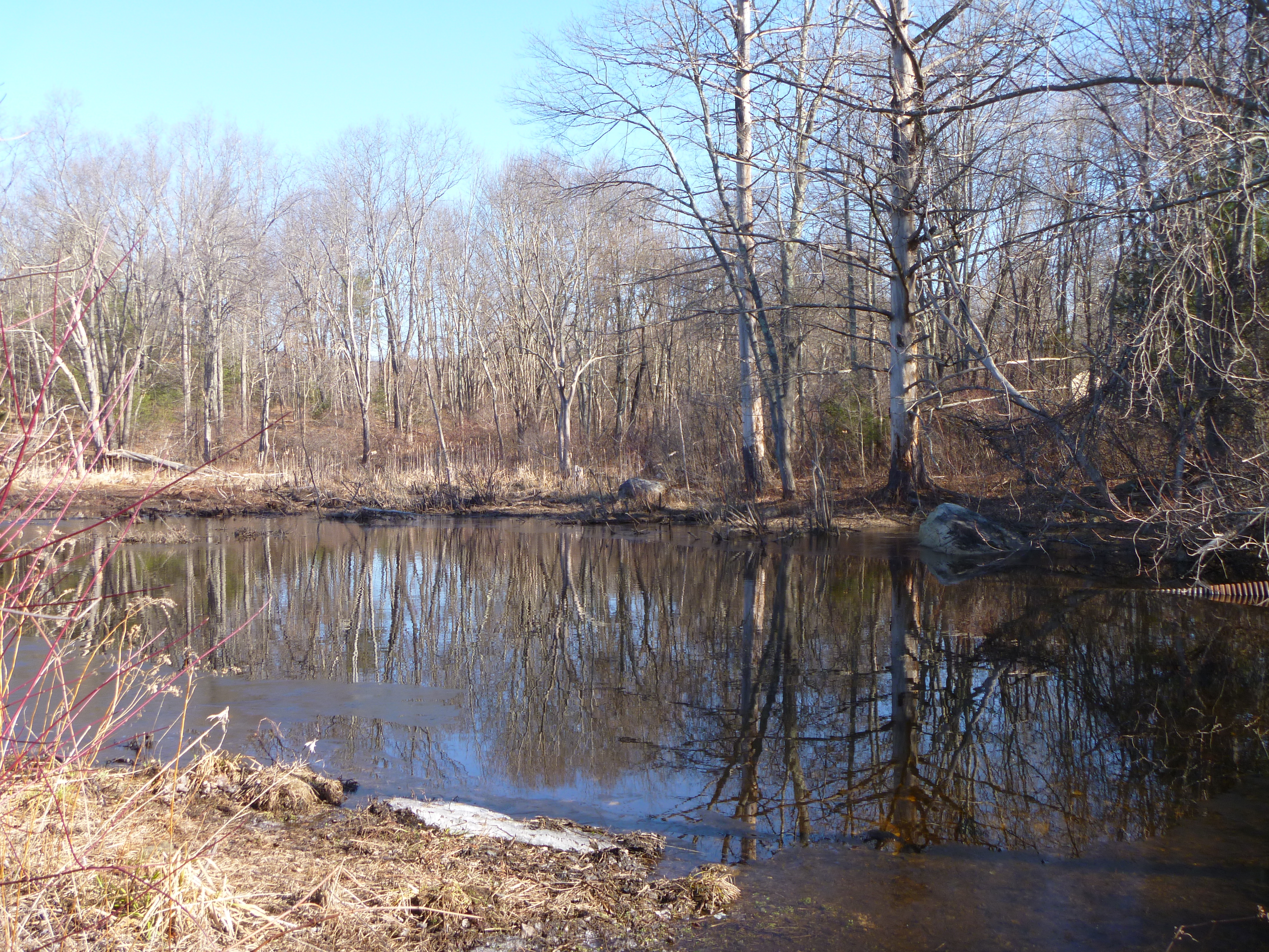
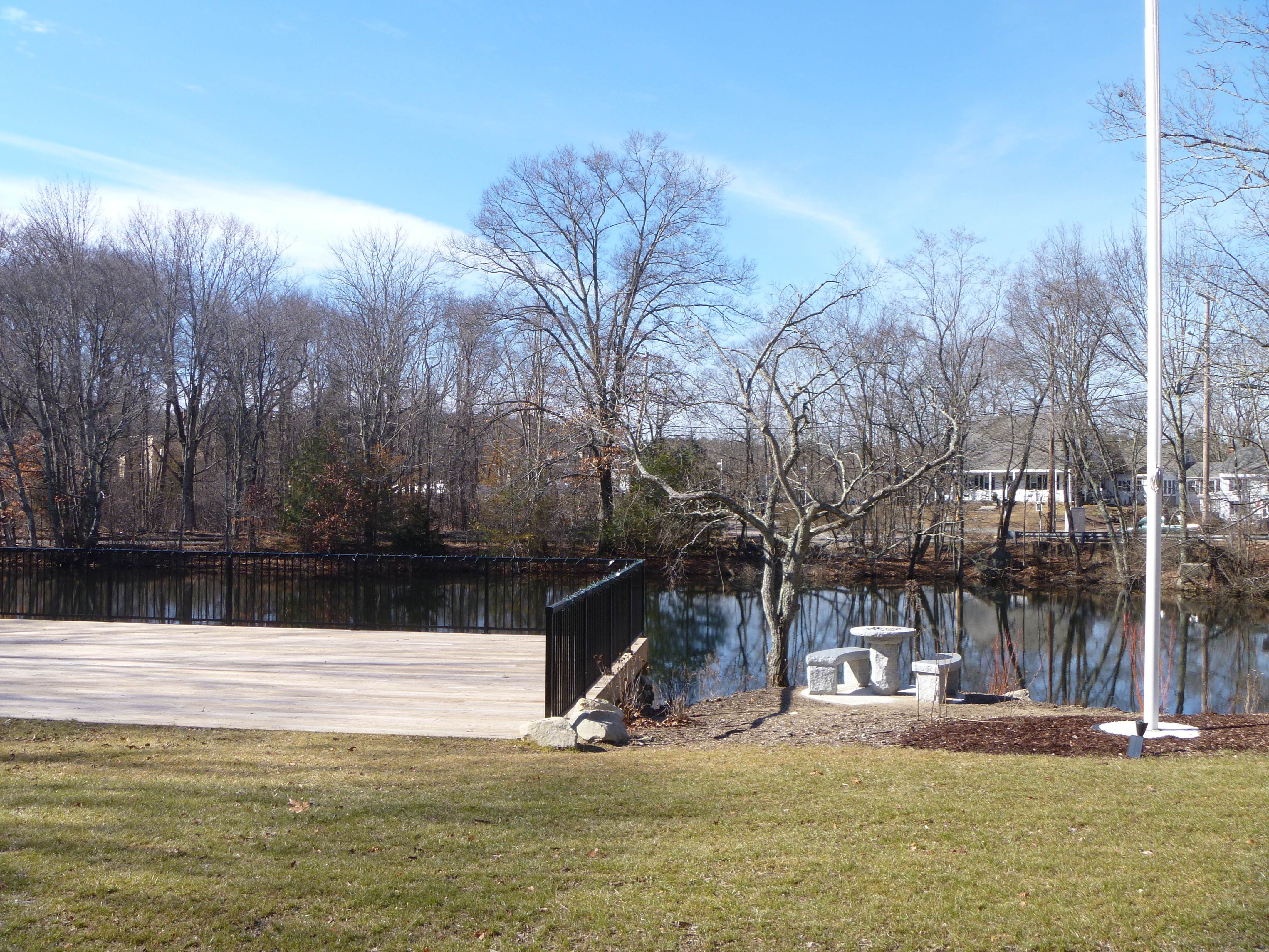
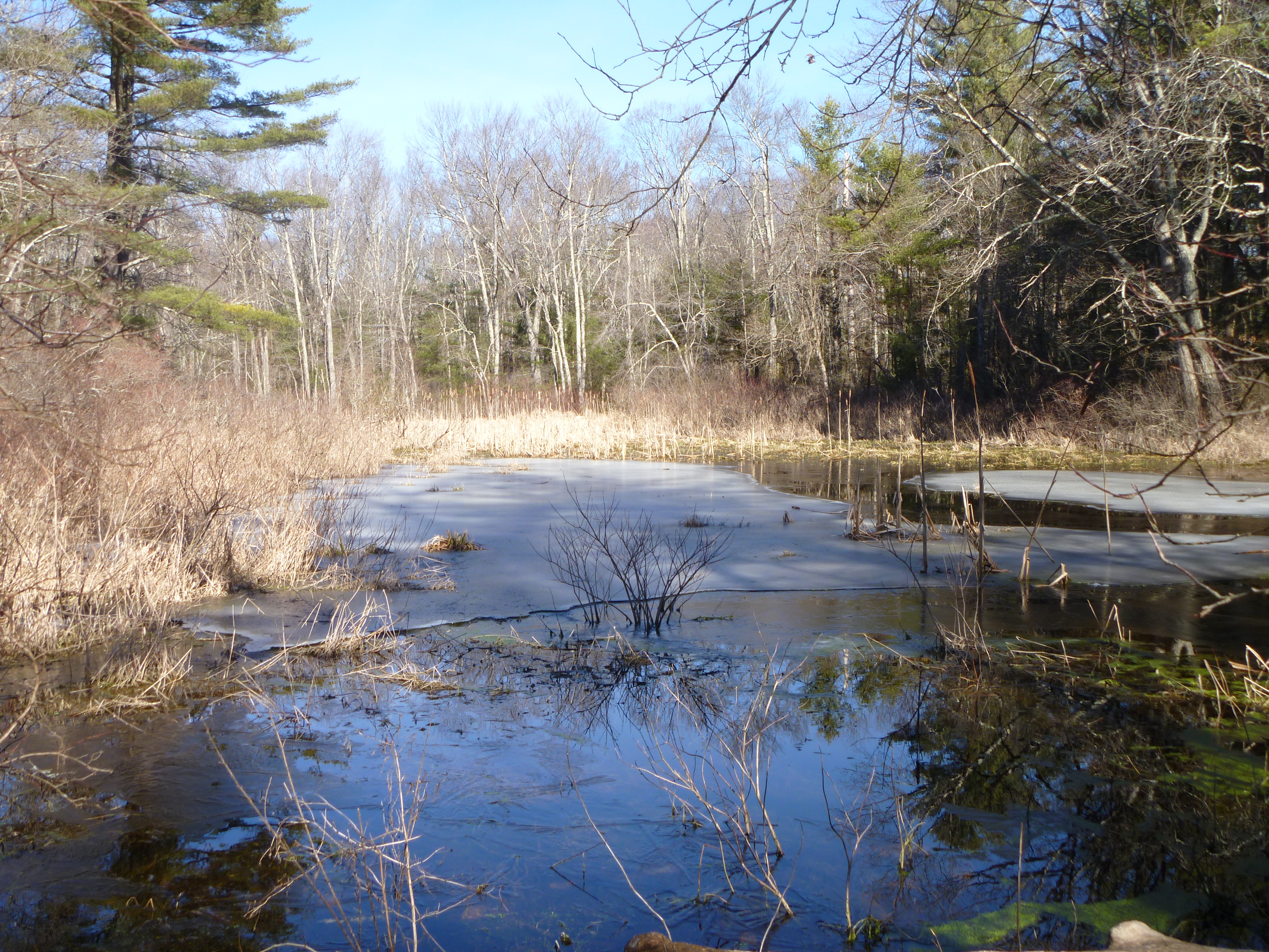
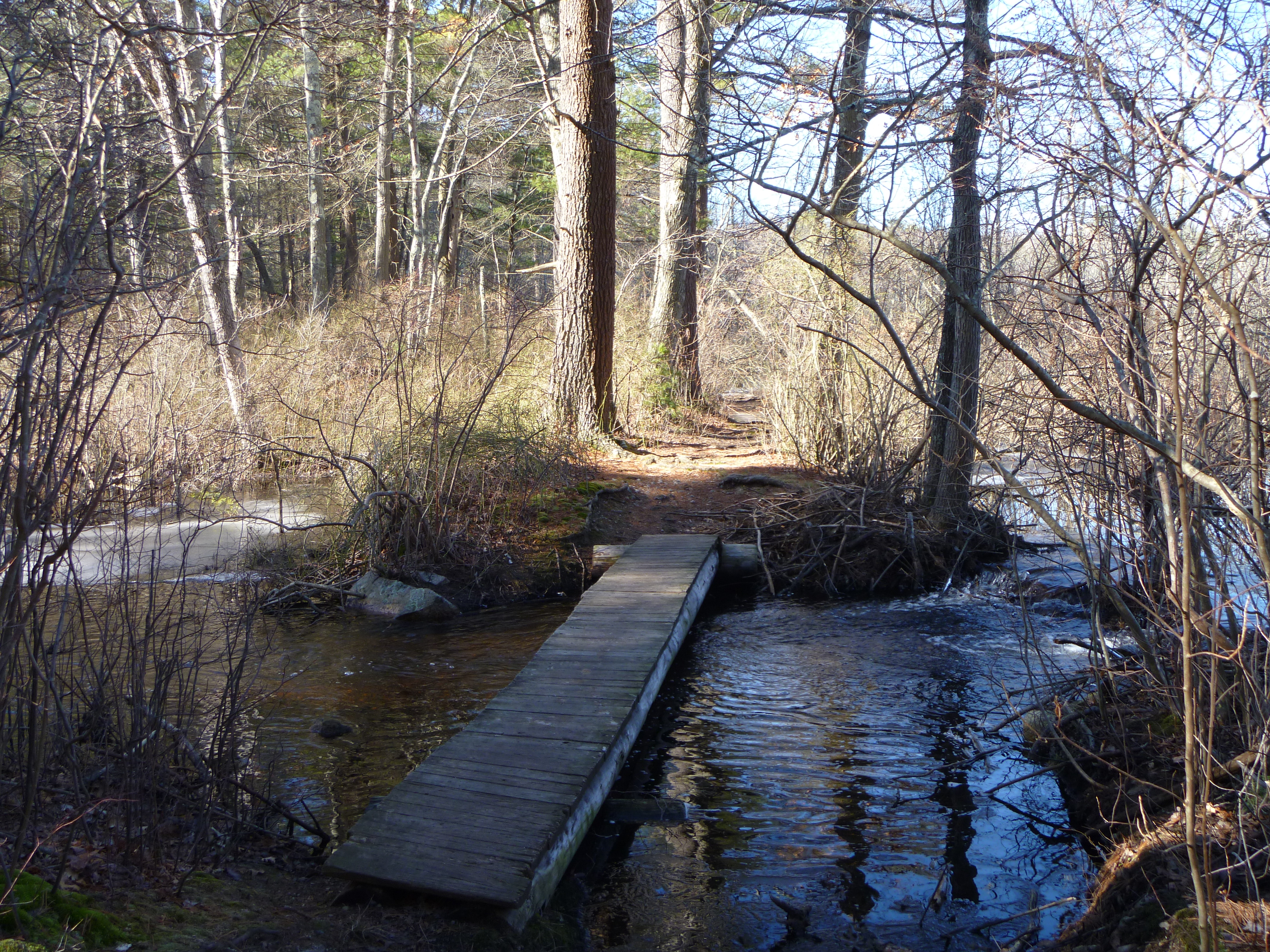
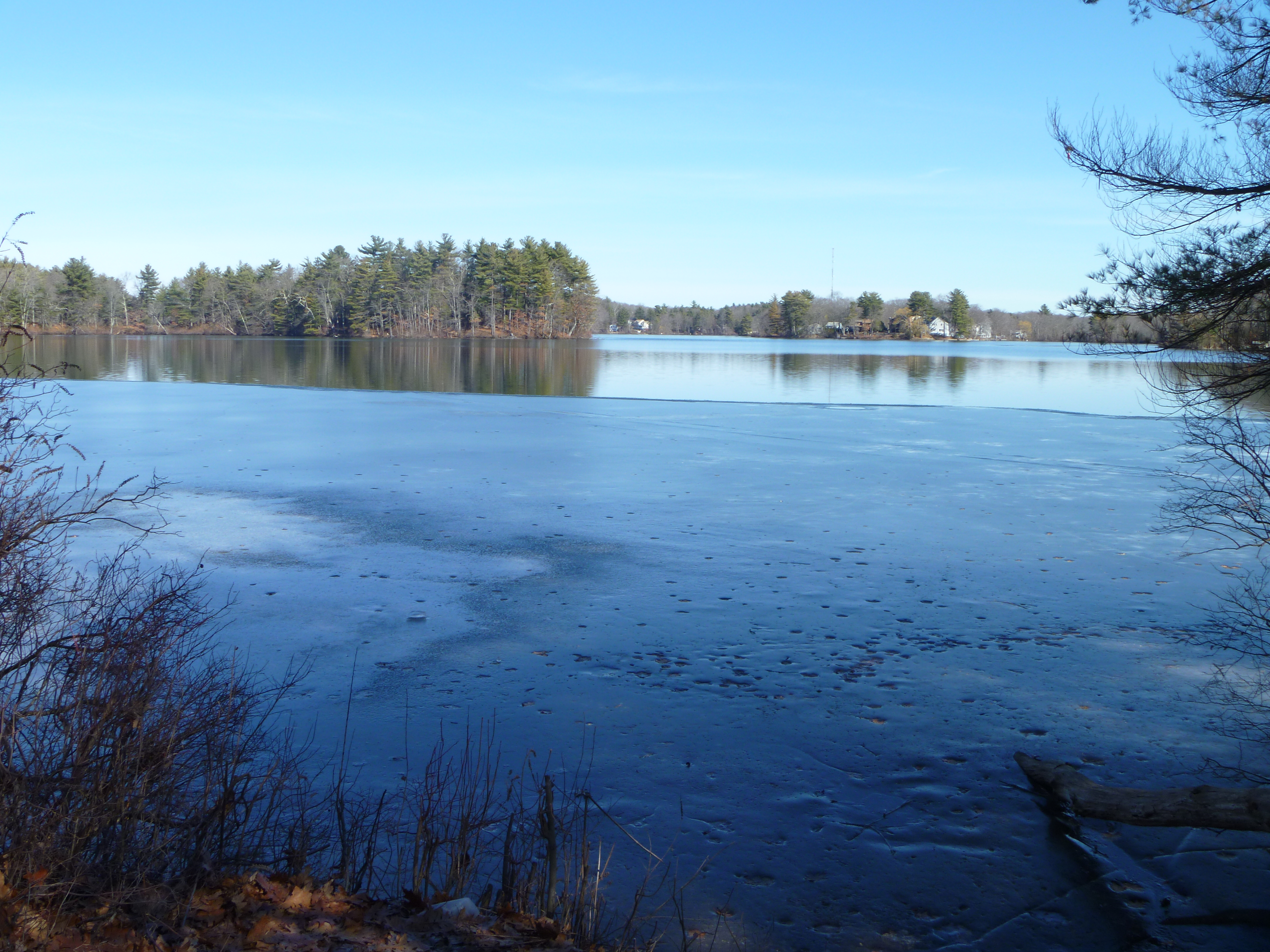
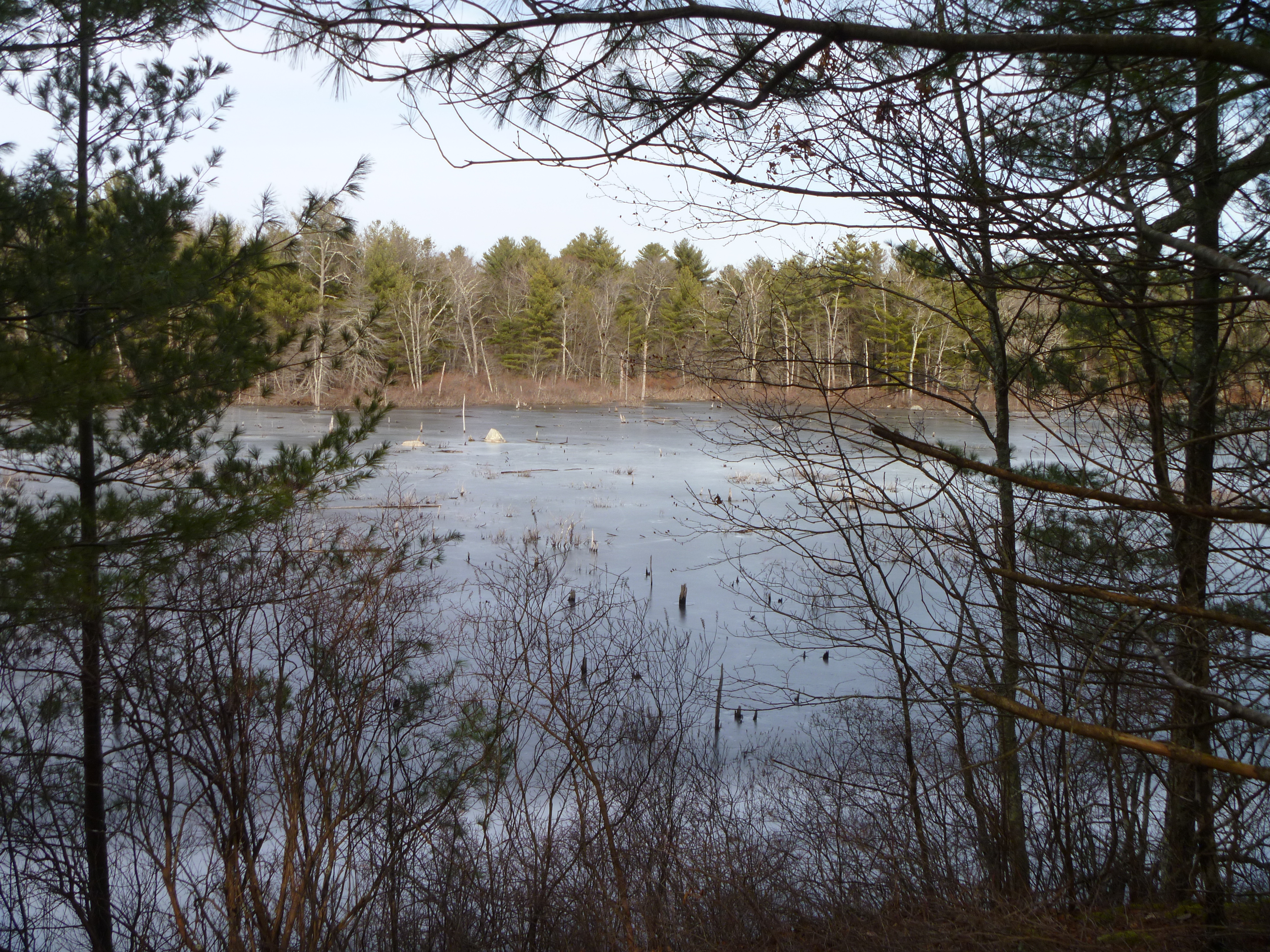
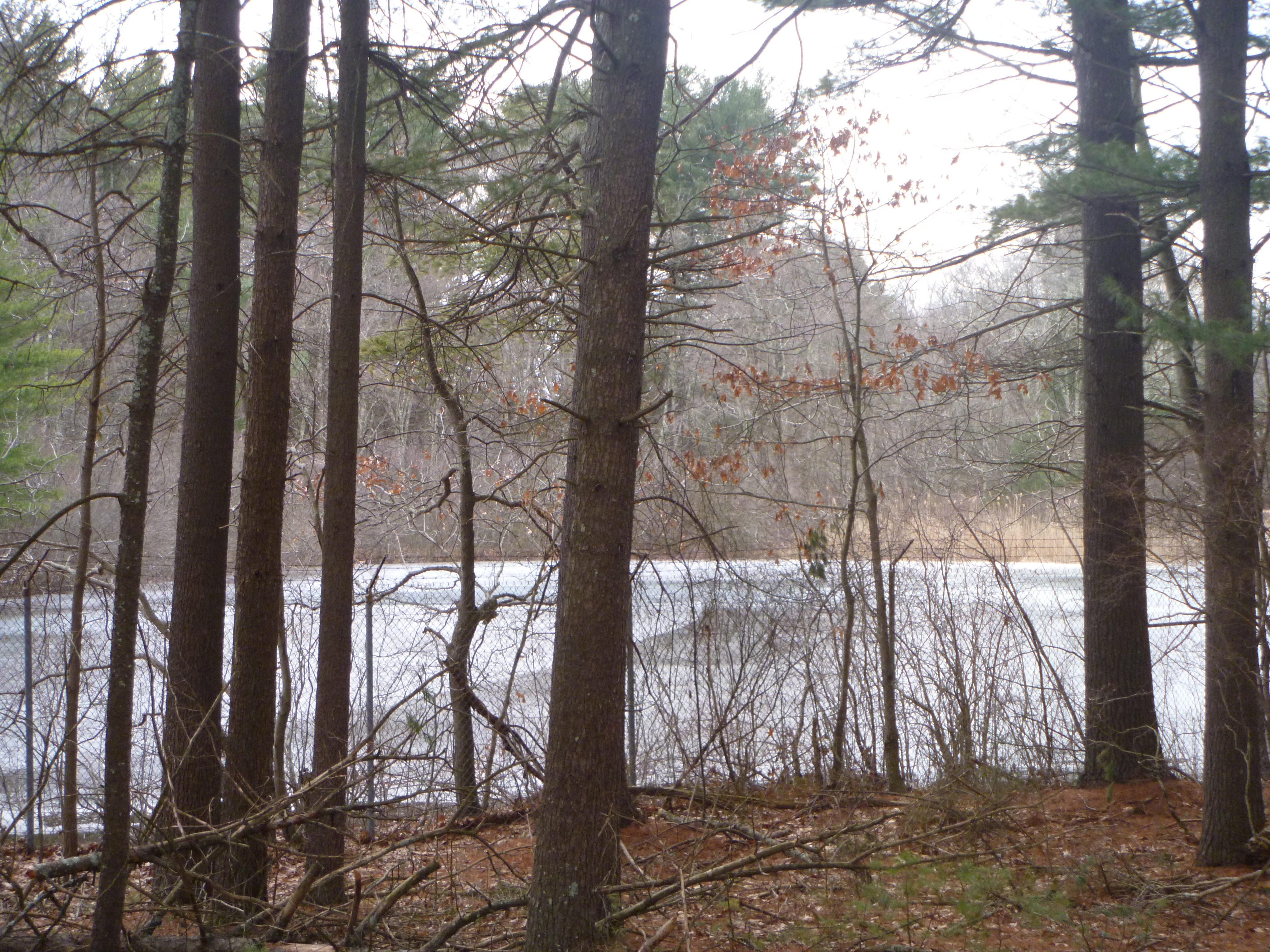
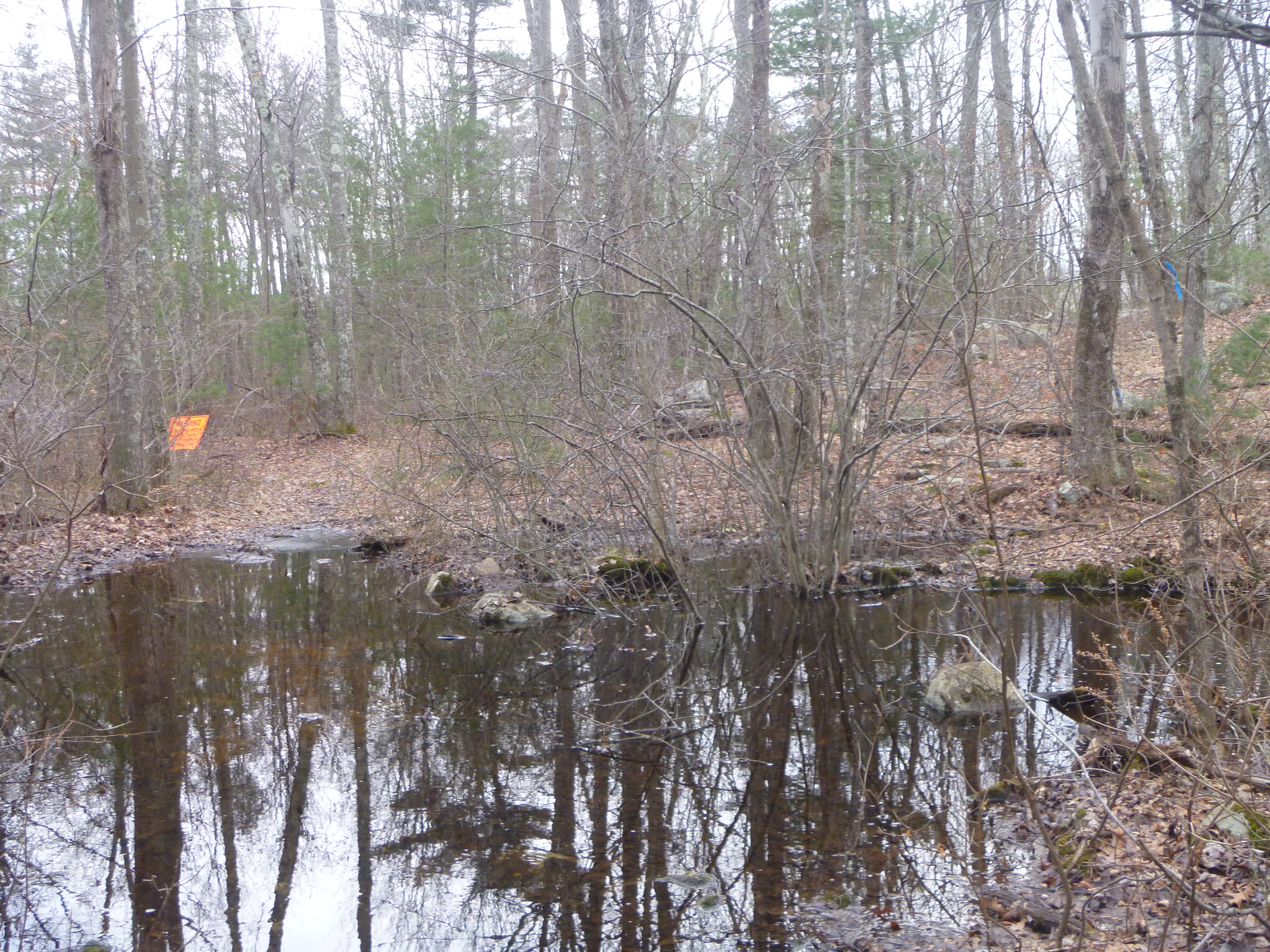
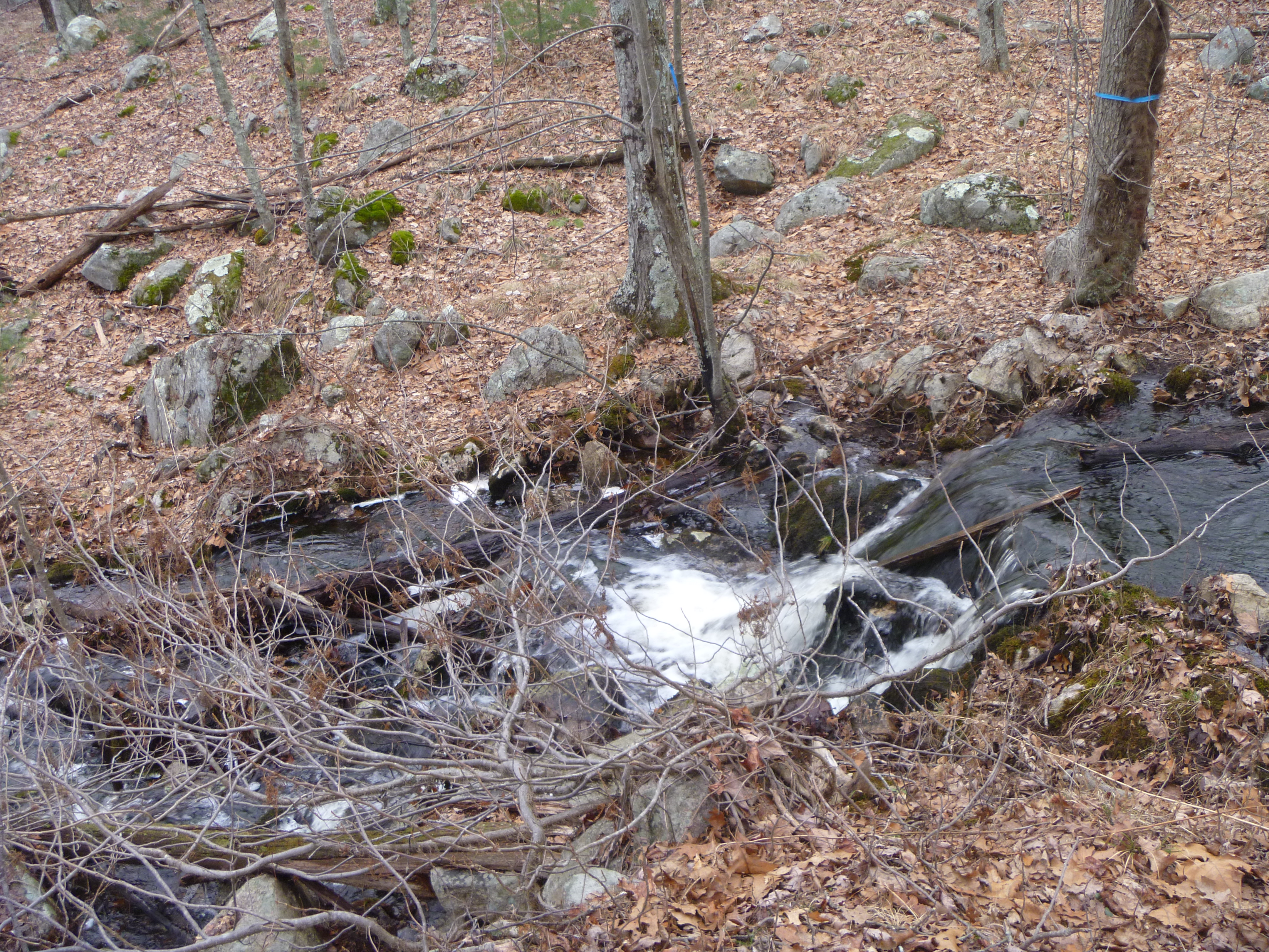
I started off today heading southeast to the town of Hopkinton for my first hike at the
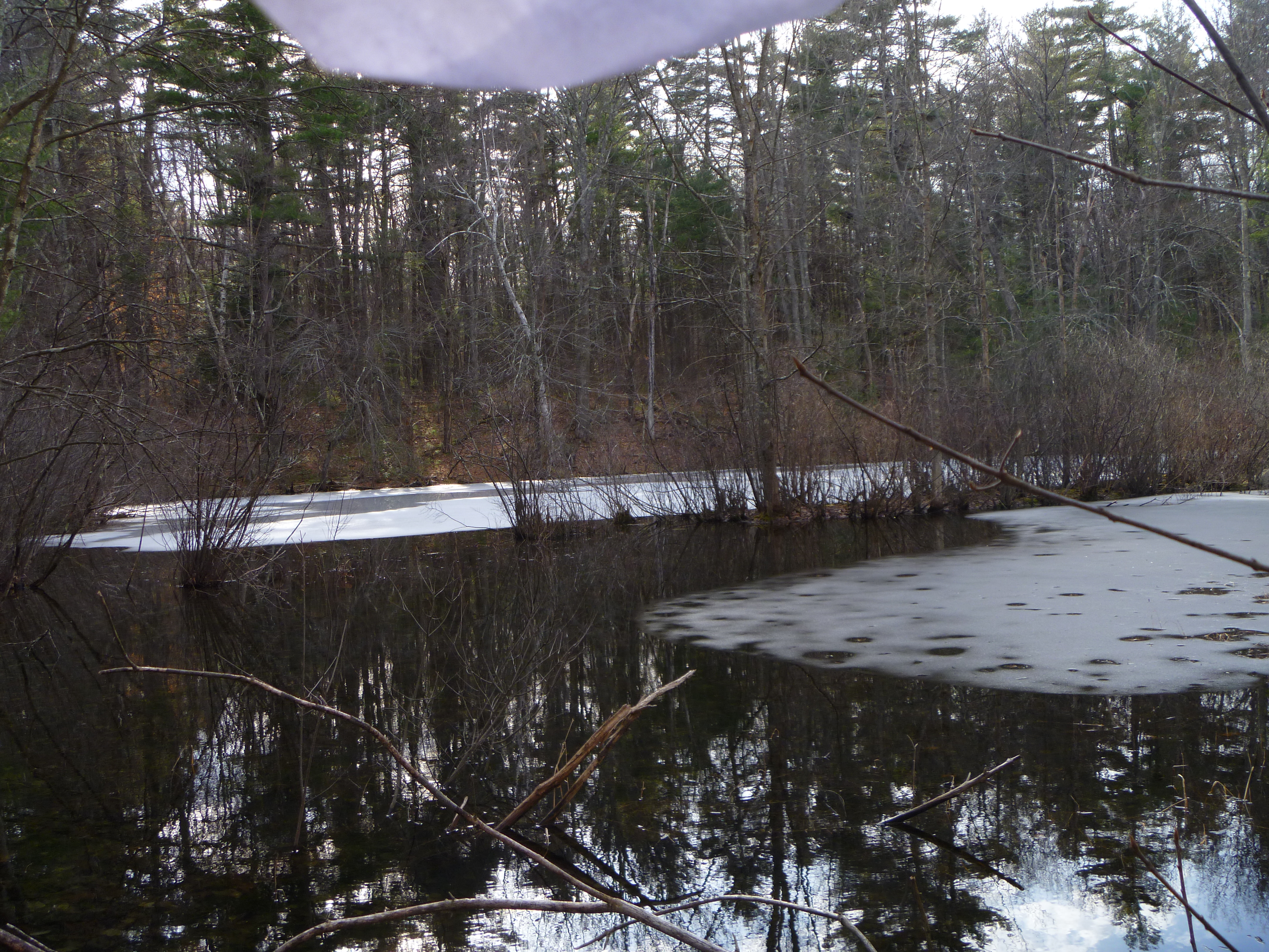
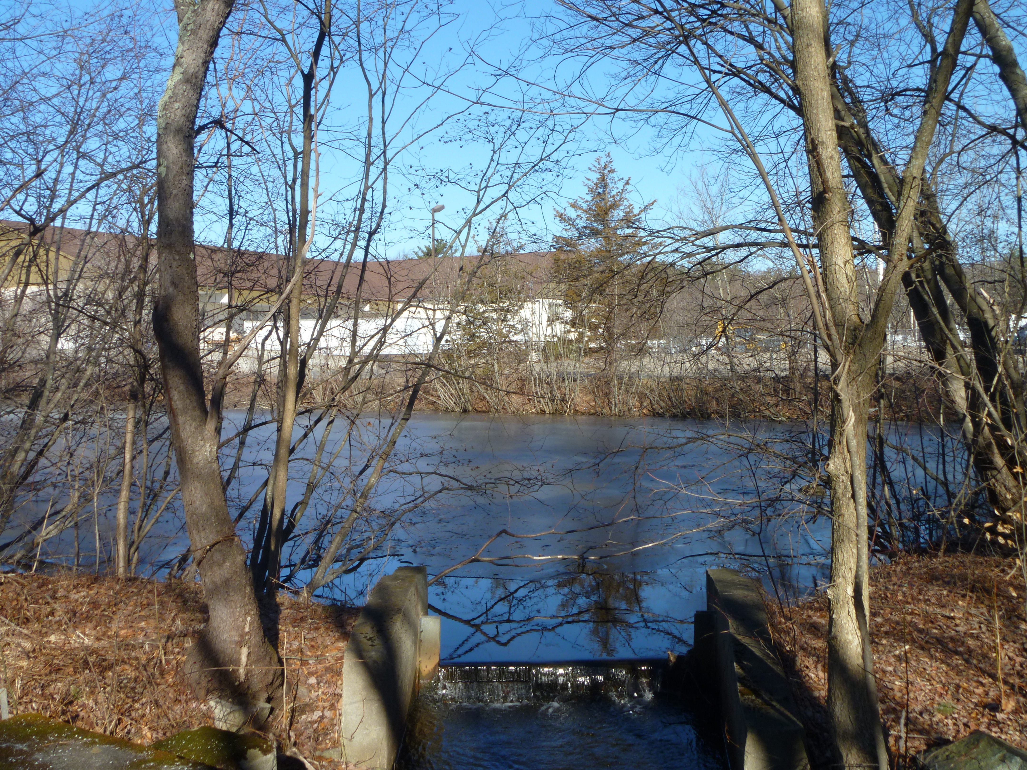
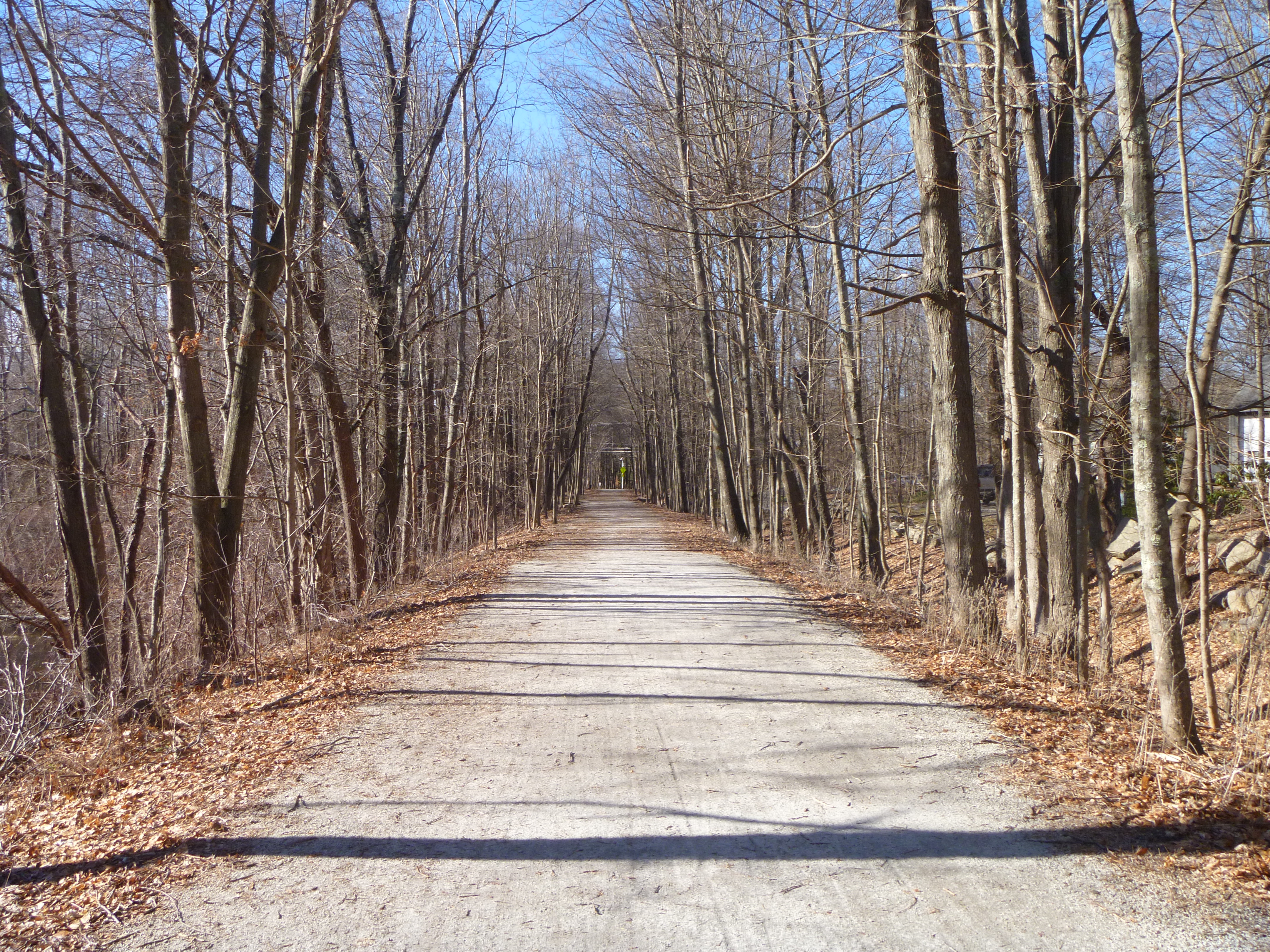
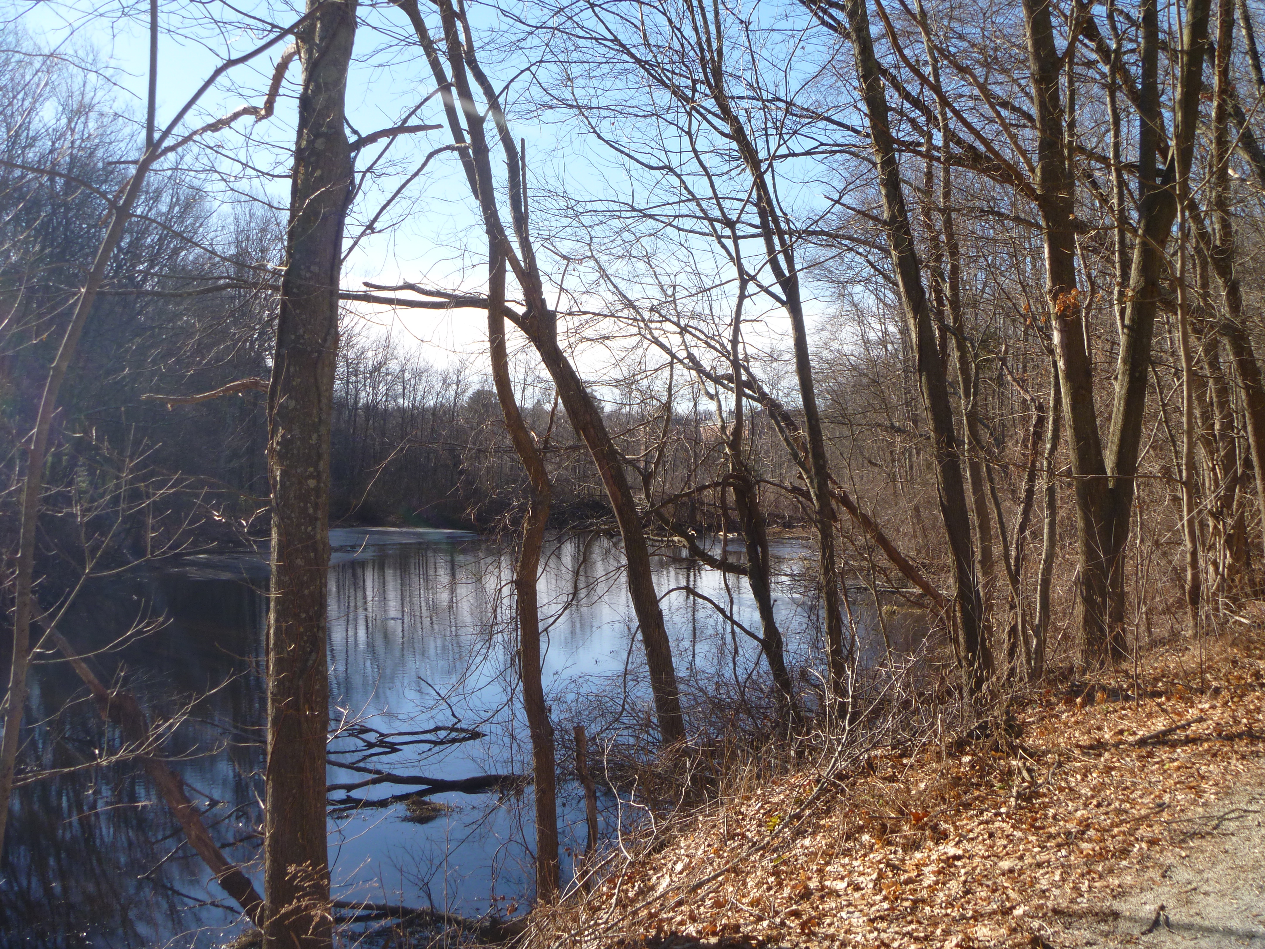
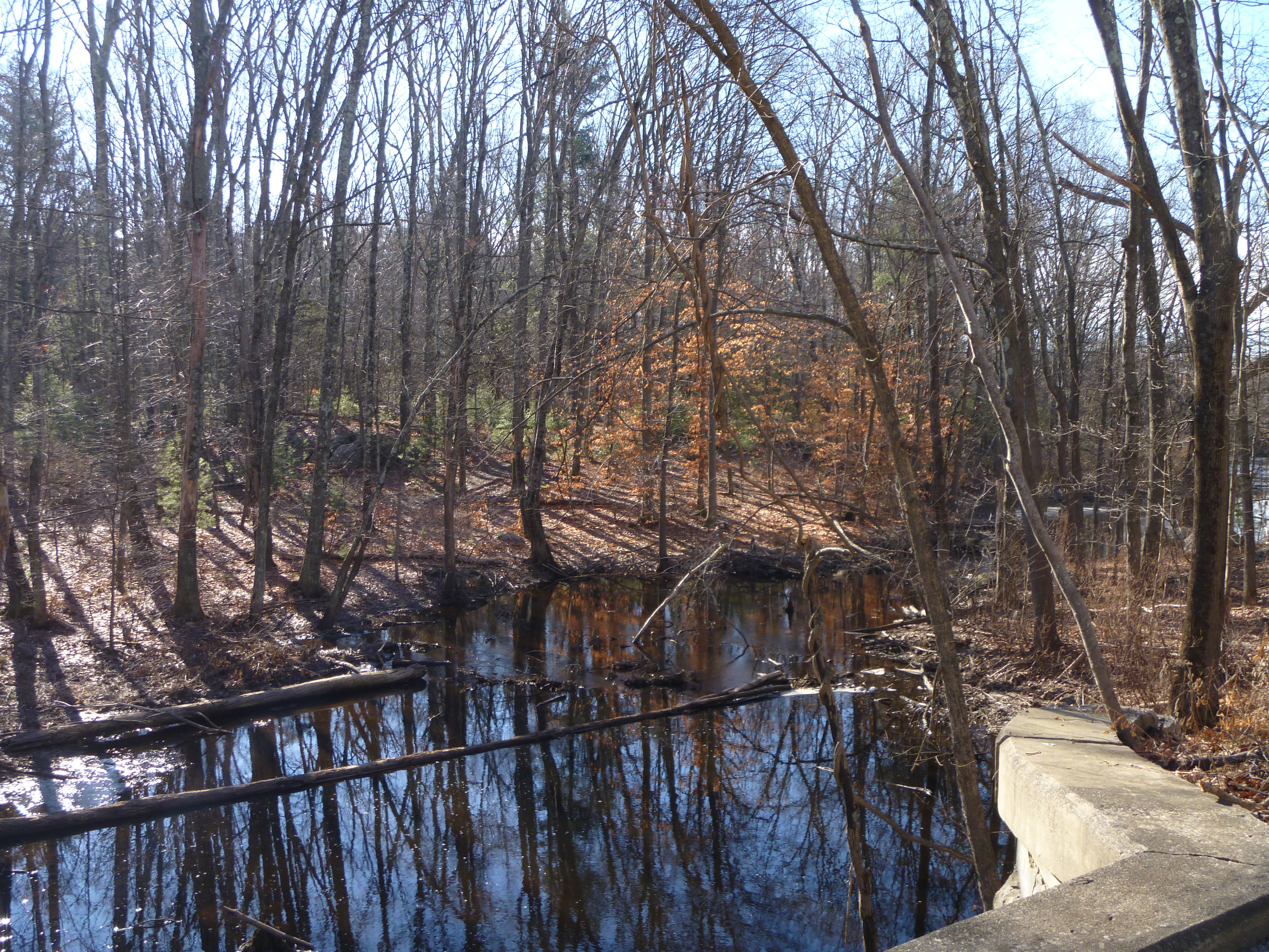
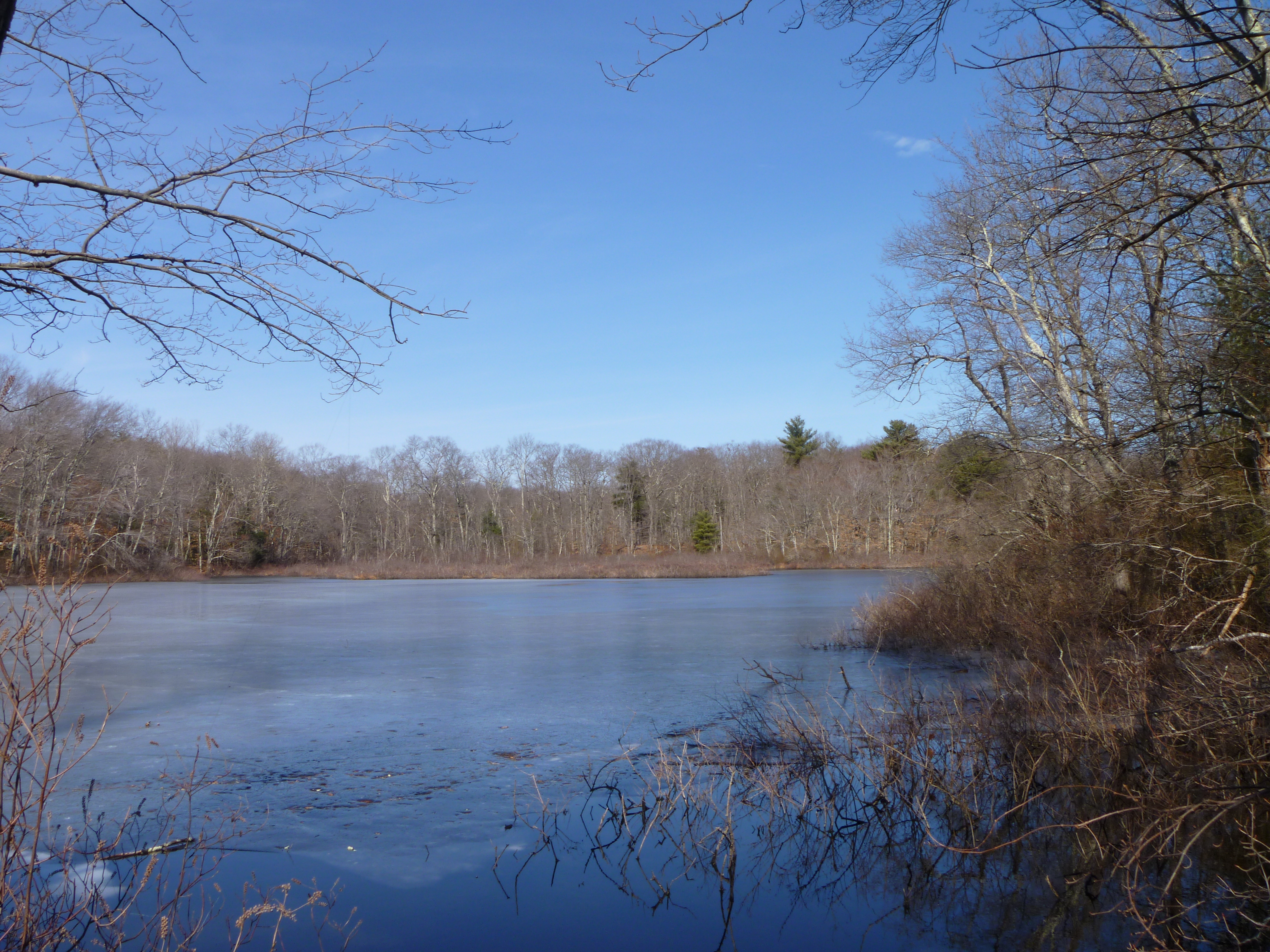
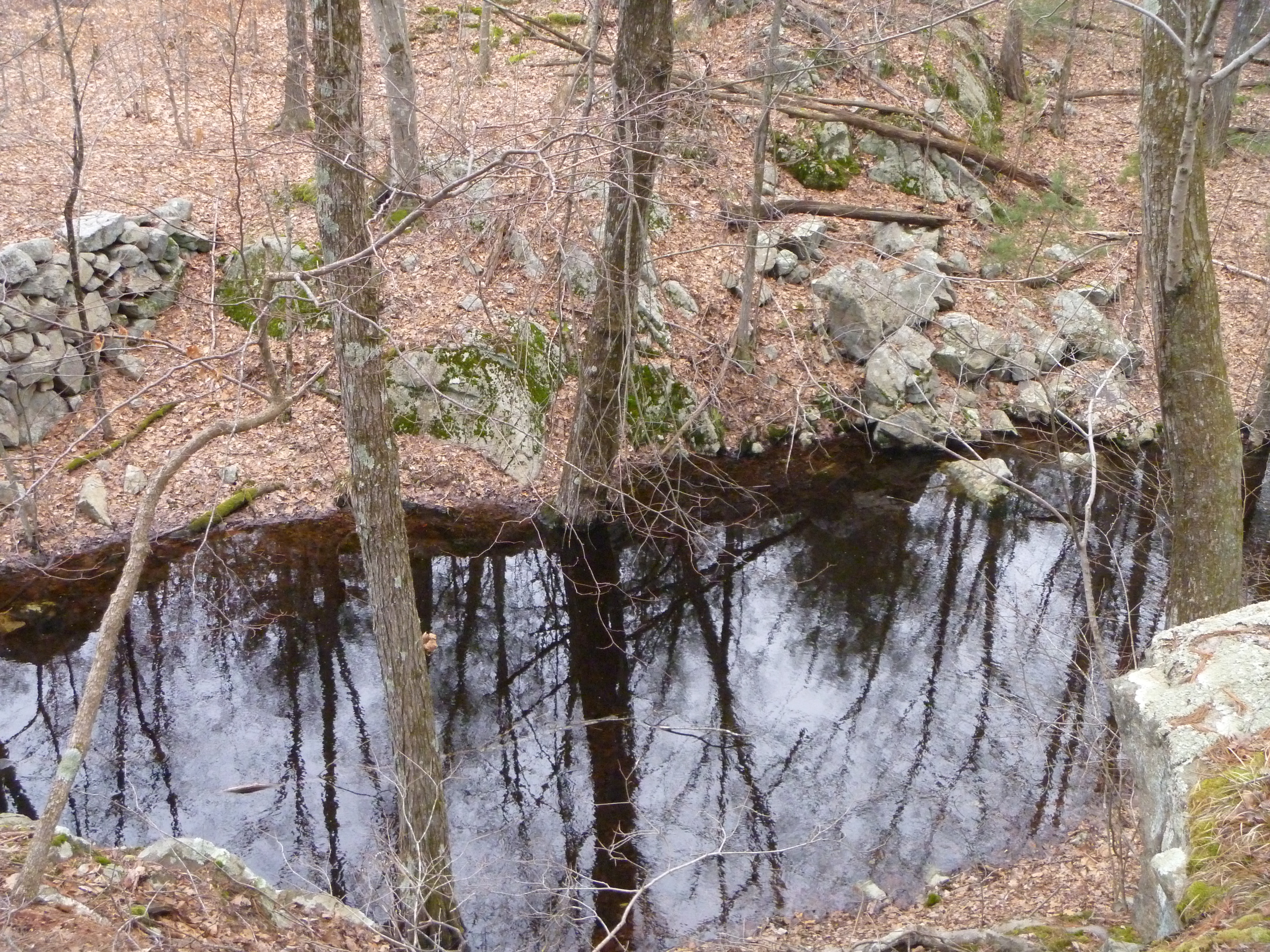
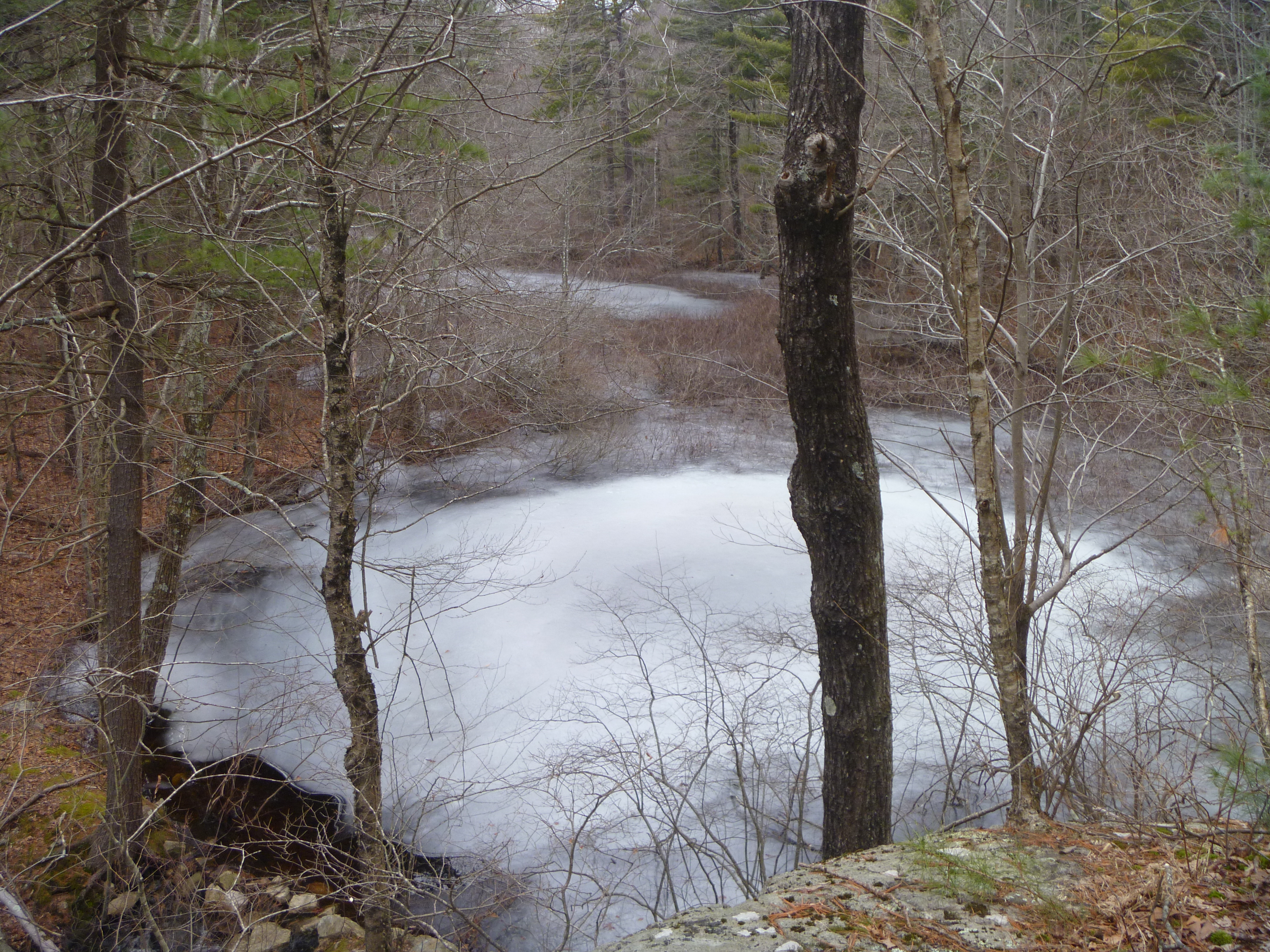
Whitehall Woods, located on Foxhollow Road. No need to hike here to view the water body here though.
From here it was on to another hike close by at
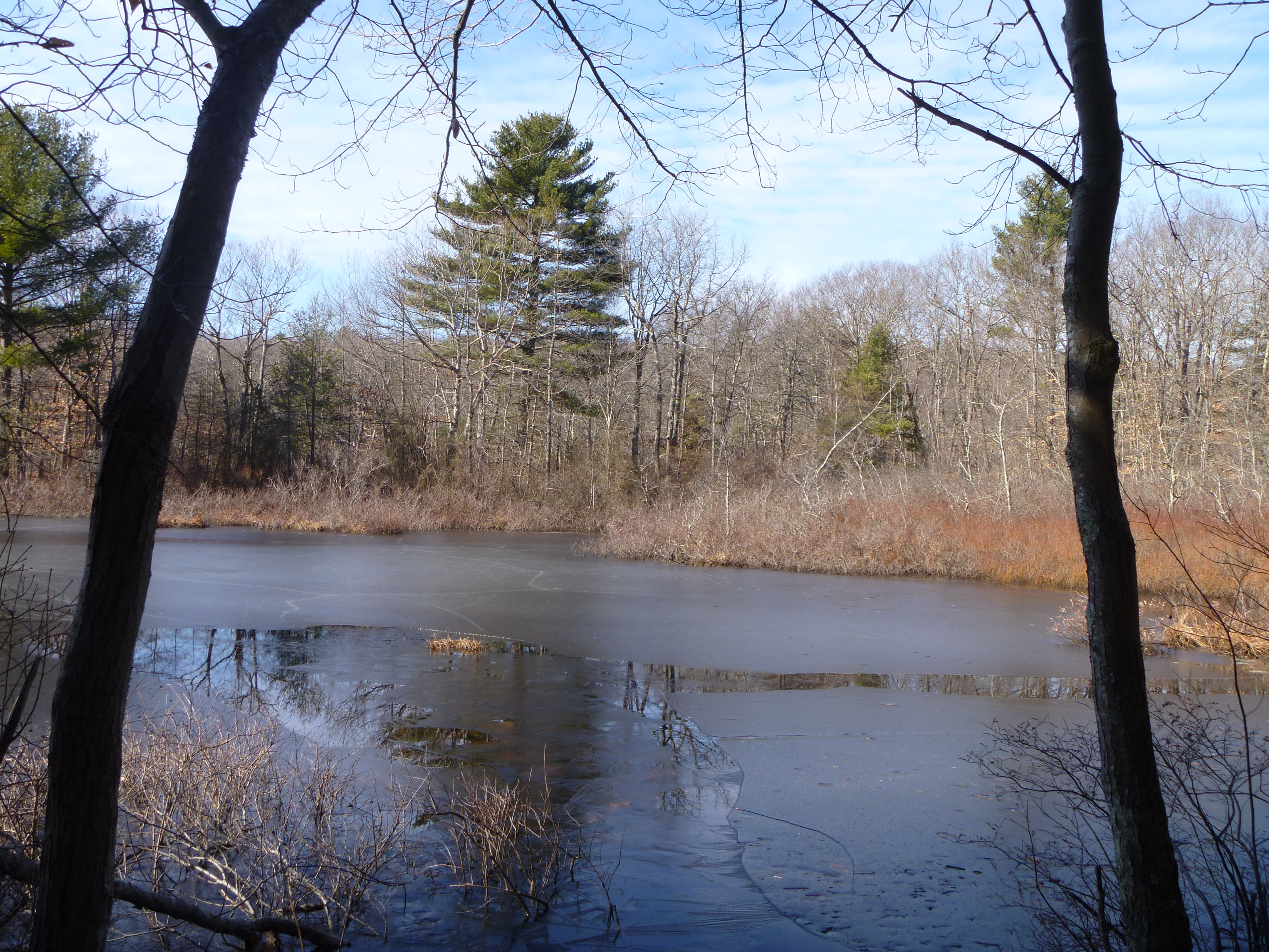
Tamarack Farm. The path I took here is shown below in pink.
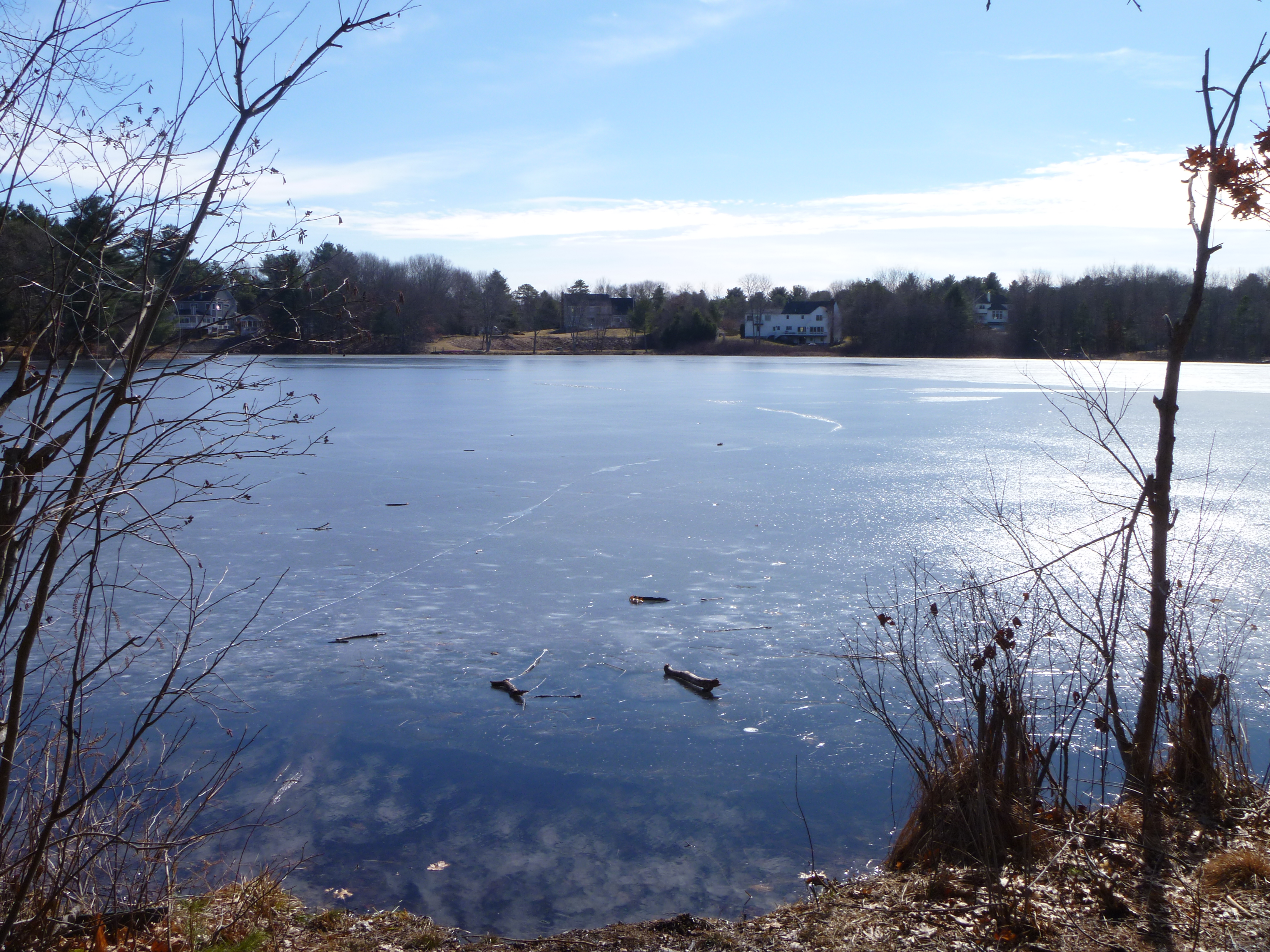
Pretty decent water bodies here actually.
From here, it was on to the town of Holliston, to visit the
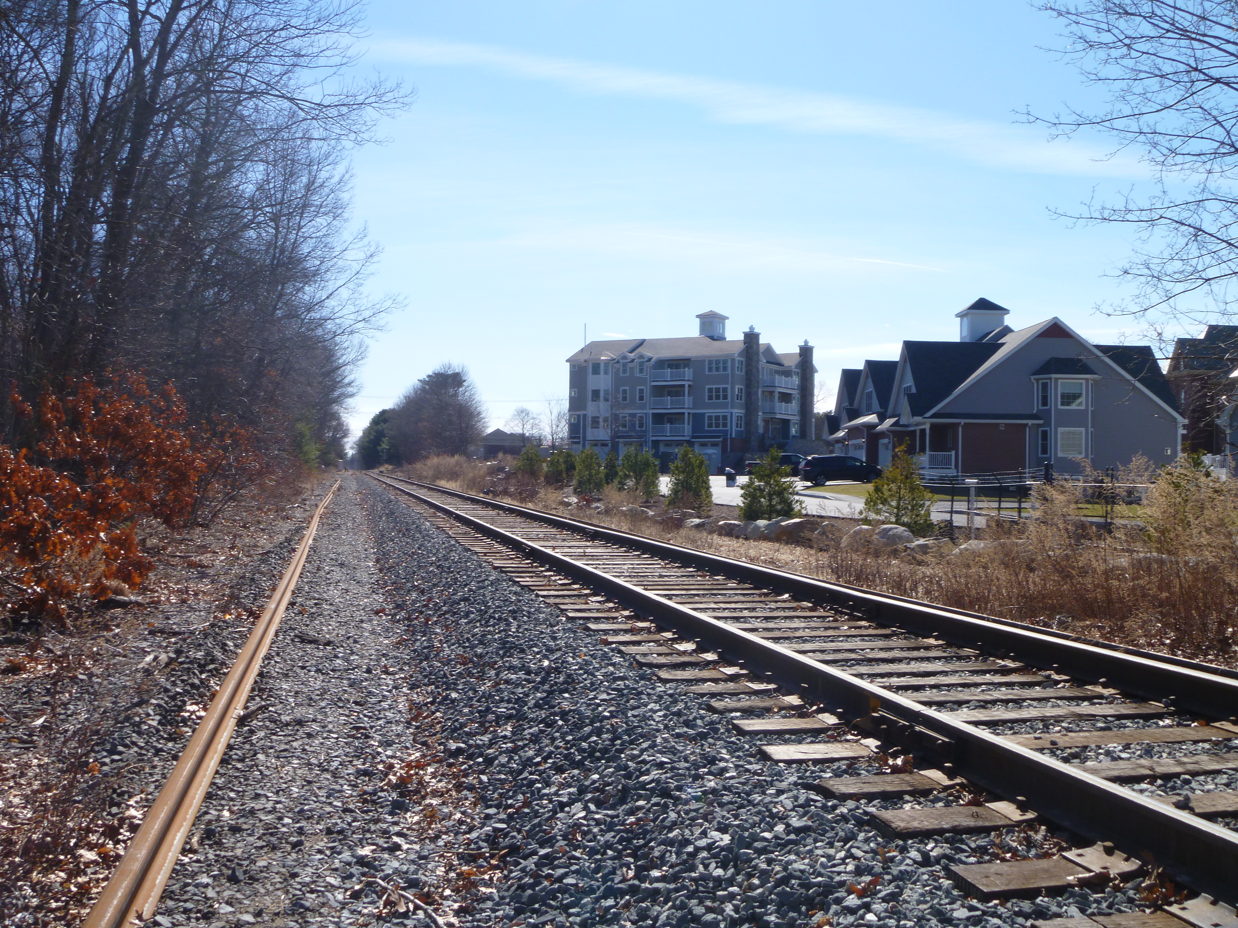
Upper Charles Rail Trail in Holliston, where I checked out the portion from Chestnut Street,
and the
Wenakeening Woods area, where the path I took here is shown below in pink.
The water bodies in both areas were nothing much to look at though.
Next, the
New Chicken Brook Trail in Medway, where the path I took from Adams Street is shown below in pink.
Not too bad a water body here actually.
The
Medway Community Farm was next, the path I took from the entrance at 50 Winthrop Street is shown below in pink.
Chicken Brook was nothing to look at from here, and the paths here were hardly discernible too.
From here, I passed through Wrentham
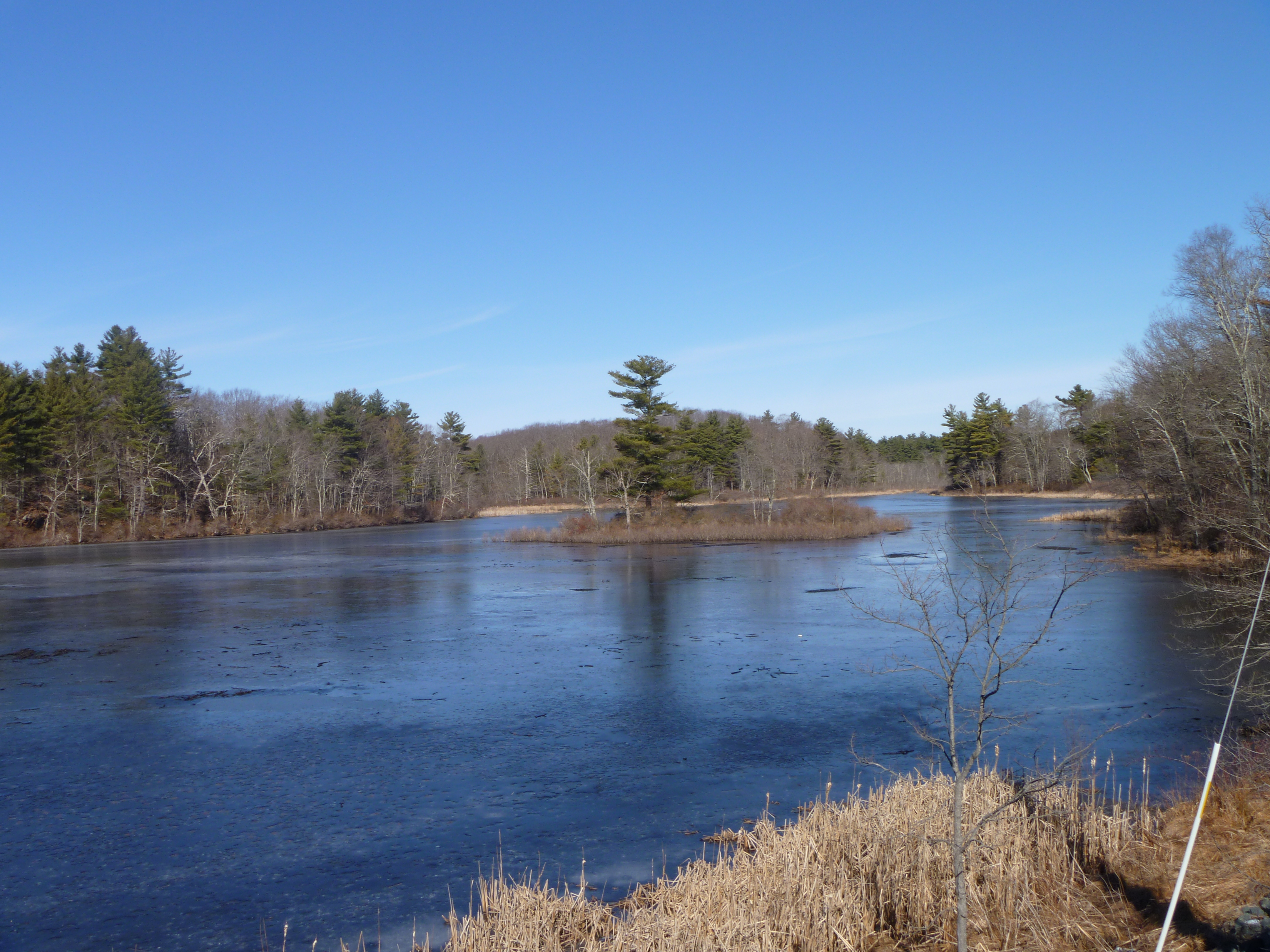 |
| Crocker Pond, 198 Boston Providence Turnpike |
on the way to Foxborough
for my next hike at the
Governor's Meadow. The path I took to get to the supposed viewpoint is shown below in pink.
I tried to get there from Laurel Tree Drive, but could not find the trailhead in the private property here. Instead, I went to find the entrance on Daniel Carpenter Court. Thankfully, I found it this time, although there was nothing to see at the viewpoint.
My next hike in Foxborough was at the
Neponset Reservoir, which I visited once
before. This time, I went from the Chestnut Street side, the path I took being shown below in pink.
As always, a beautiful view of the reservoir here.
Deciding to take the easy way out, I walked along the railroad track here back to my car.
From here, it was on to my next hike at the
Greeley's Pond area, where the path I took here from 50 East Foxboro Street is shown below in pink.
Pretty nice pond to say the least.
Next, I headed for another pond hike at
Beaumont Pond, where the rough path I took here is shown below in pink.
Not bad views, although I got a little lost near the pond's edge for a bit due to the confusing trails or lack thereof here.
From here, I ventured into Mansfield
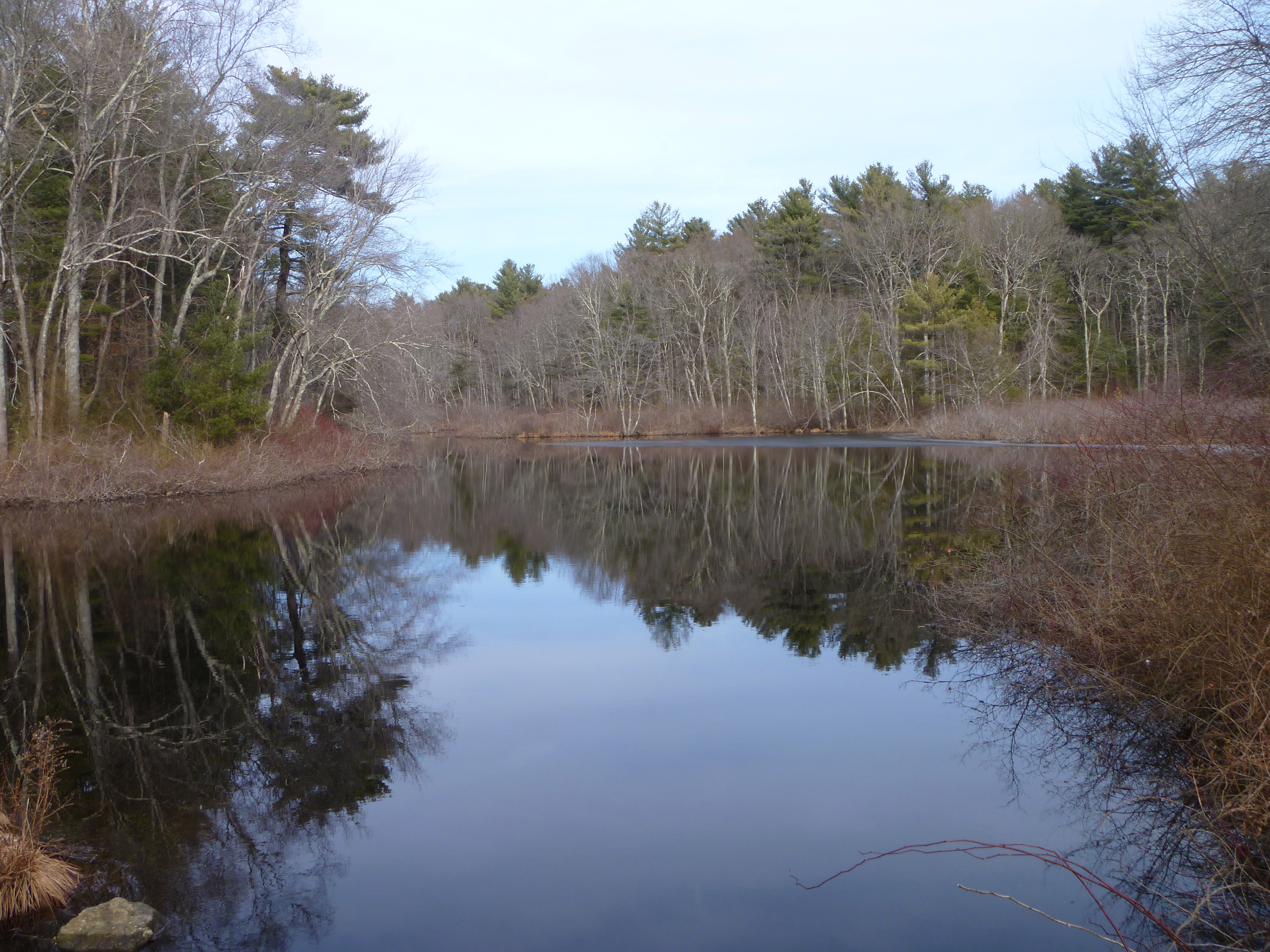 |
| Mill Pond, 497 East Street |
before heading back into Foxborough for some pizza from
Antonia's Italian Cuisine,
getting the Basilico (Sun-dried tomato, mushroom, grilled chicken basil, garlic sauce & mozzarella) Pizza.
Disappointingly bland though.
I proceeded for more hikes in town, visiting
Wolf Meadow, where the path I took here is shown below in pink.
There weren't any good views of the wetlands here though.
Next the
Cocasset River Recreational Area, which I visited
a long time ago. This time, I went for a little hike to find the water body here, the path I took being shown below in pink.
Sadly, there was a fence around it, and there were no viable paths to approach it directly either.
From here, it was back to Wrentham to continue my exploration of the
Wrentham State Forest. The paths I took here to try to find the various water bodies I missed out on
before is shown below in pink.
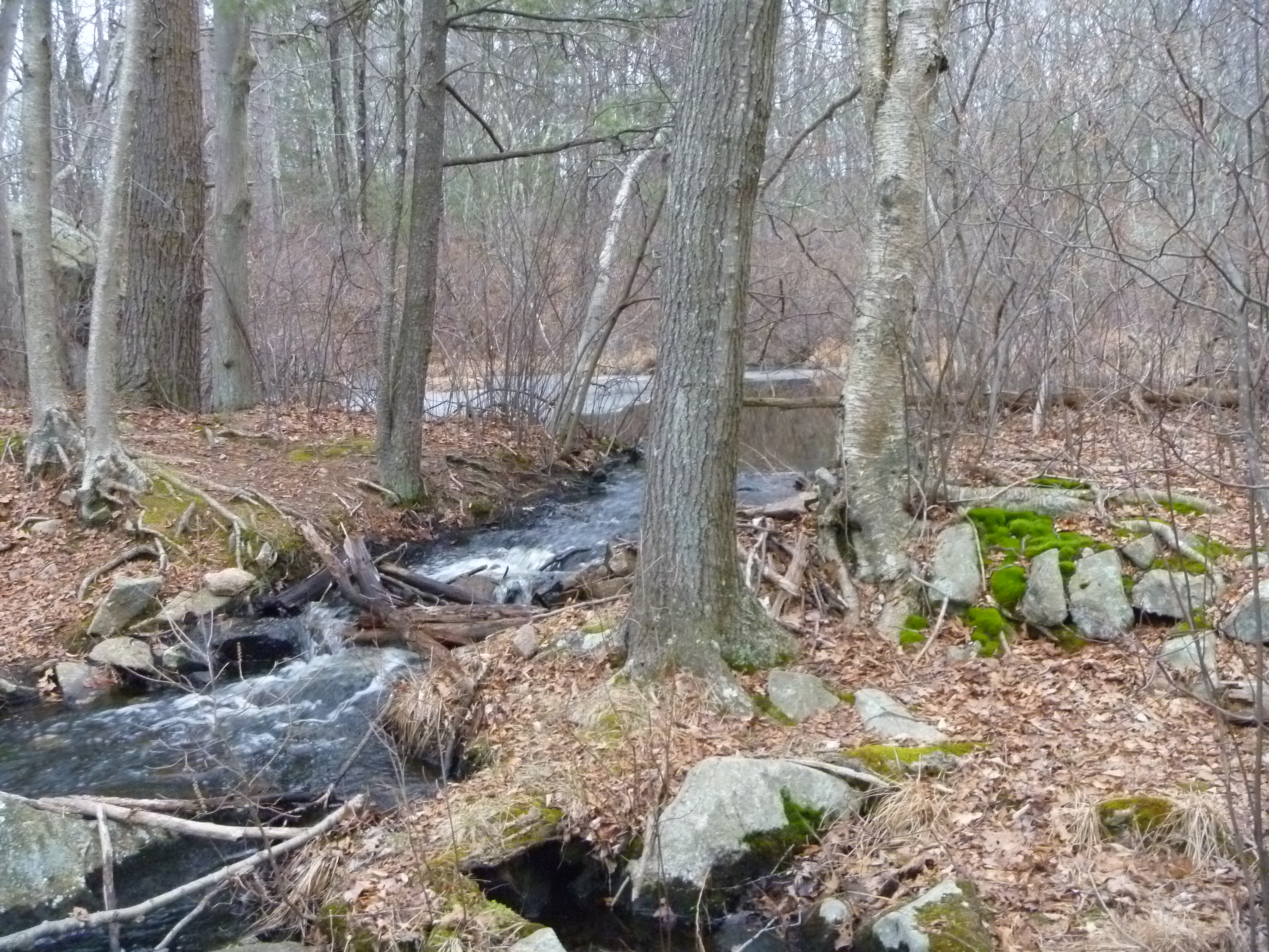
I was in the Minnehaha Pond area first, where there was a nice waterfall in the remains of the dam.
I next went to try to find the water body in the south, but failed to do so because of the myriad of paths here, and the map I had was not to scale. I somehow made it to the brook, but could not find a way across. At this point, I decided to give up and head to the last water body north of here, though there was nothing much of note here.
With that, I decided to call it a day for hiking, heading to
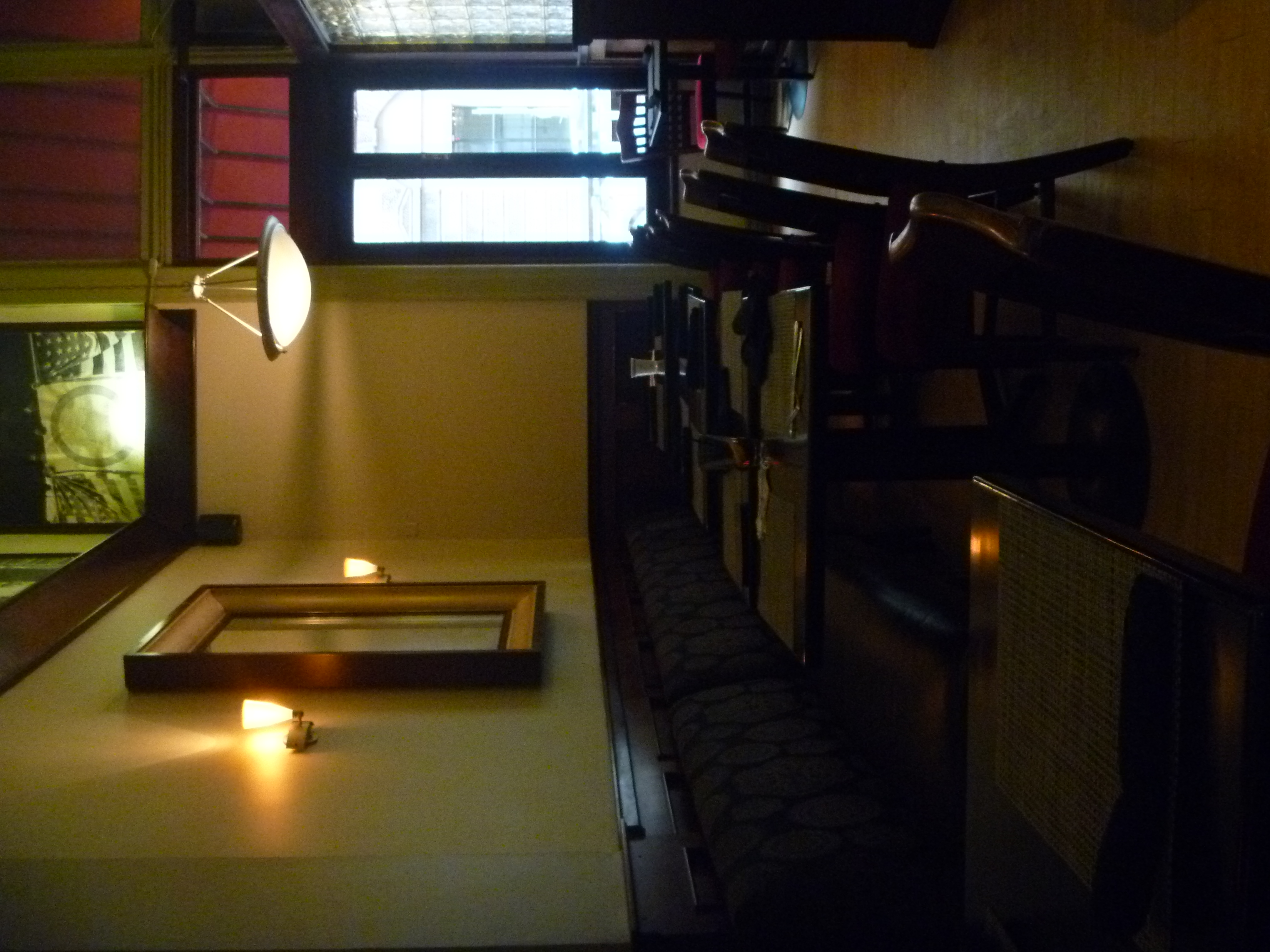
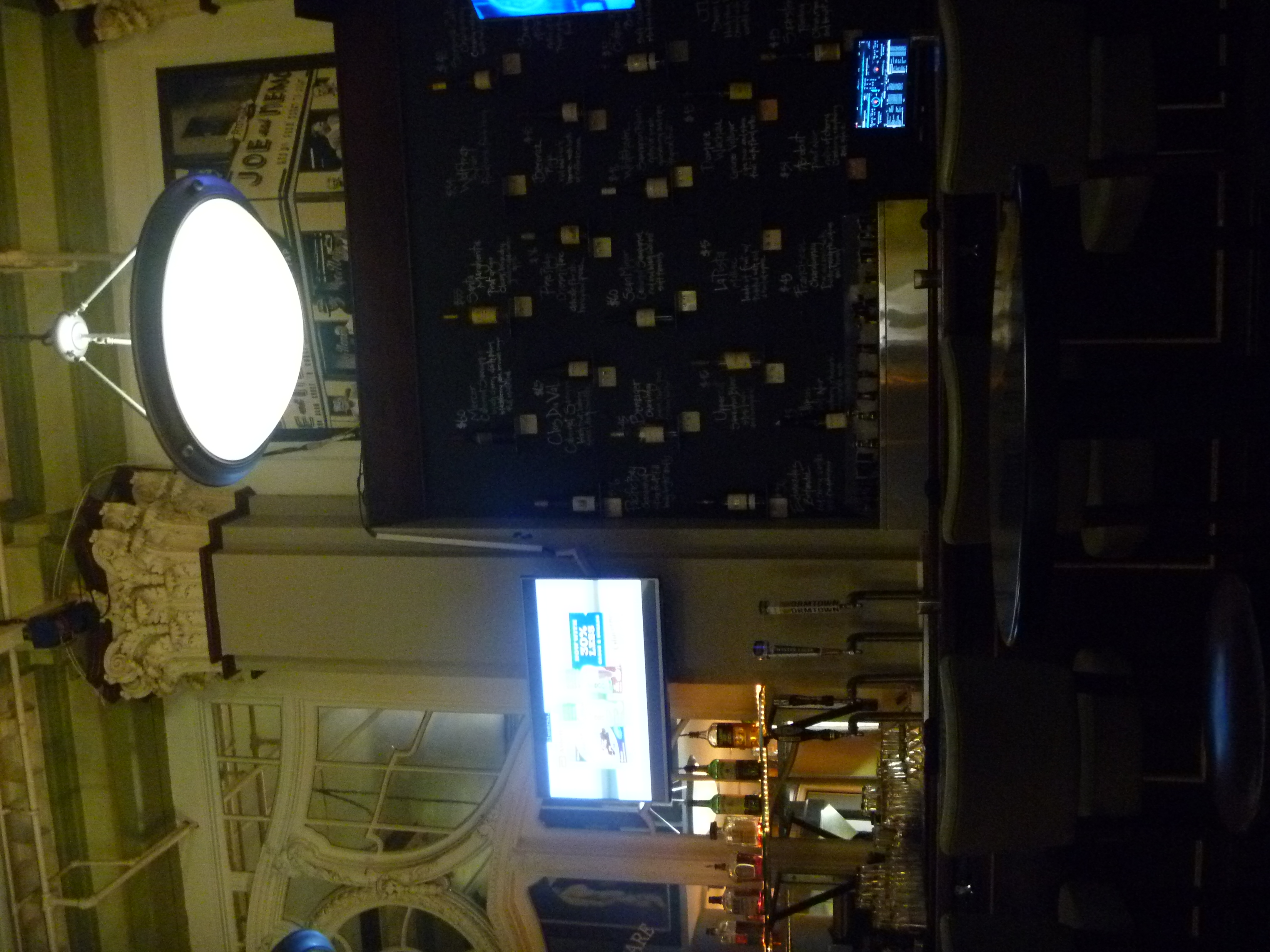
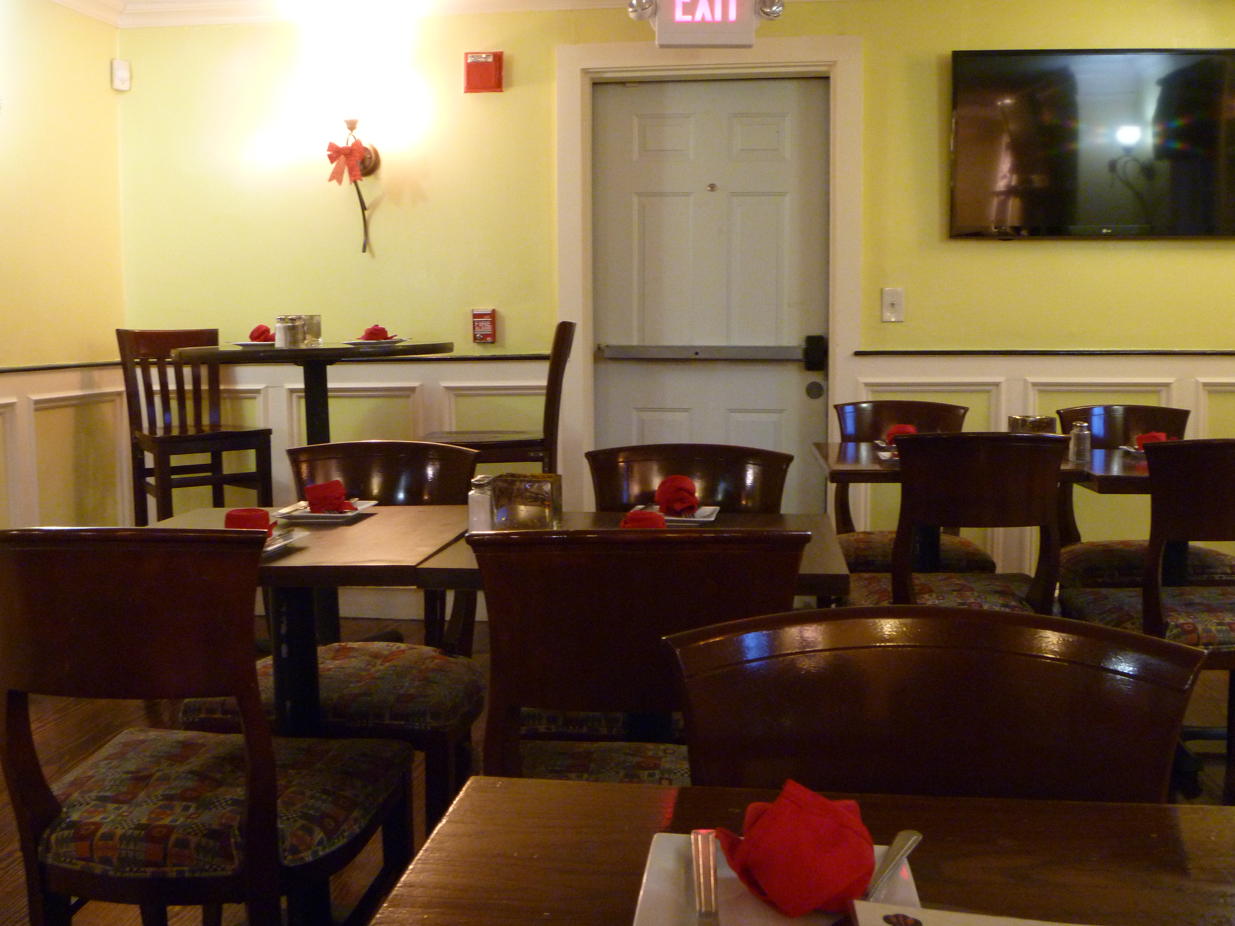
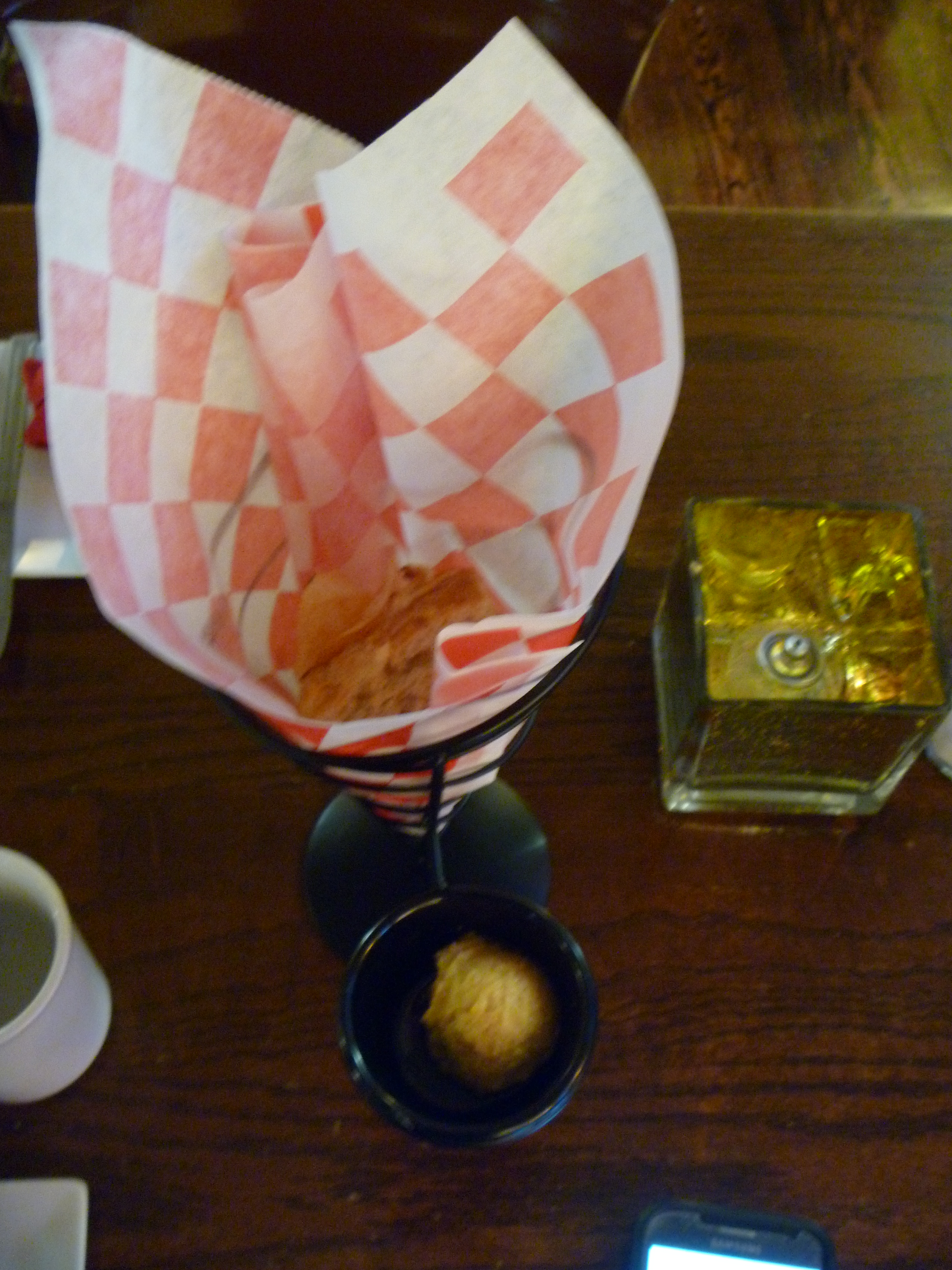
Connie's Rustic Kitchen and Tavern for dinner. A pretty nice bar restaurant,
with interesting starters of foccacia bread and chips.
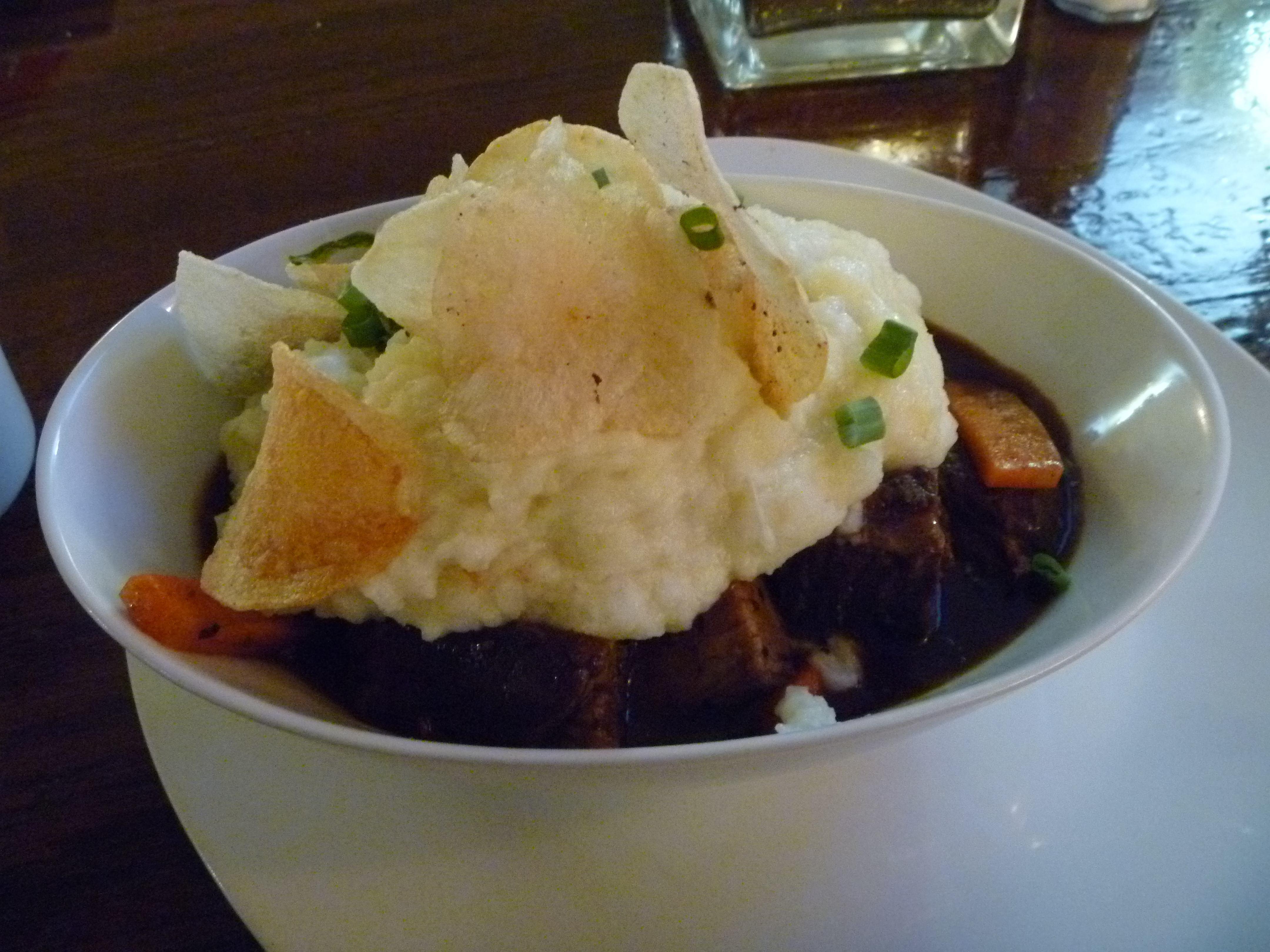
I got the SHORT RIB SHEPPERD PIE (Root vegetables in a rich beef broth and mashed potatoes)
which was actually pretty good. Might come back here someday. With that, my day of hiking in the southeast was at an end.
