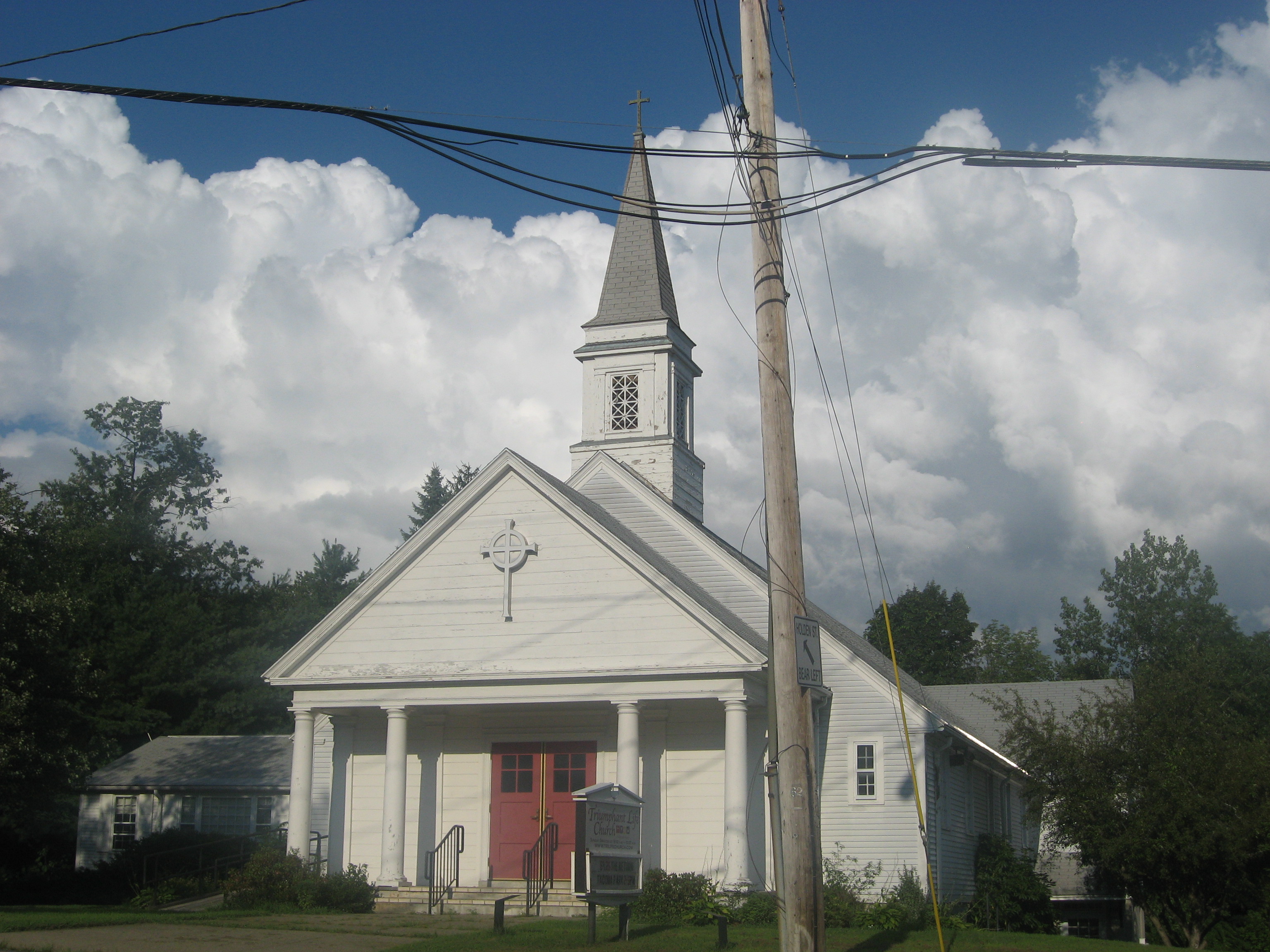
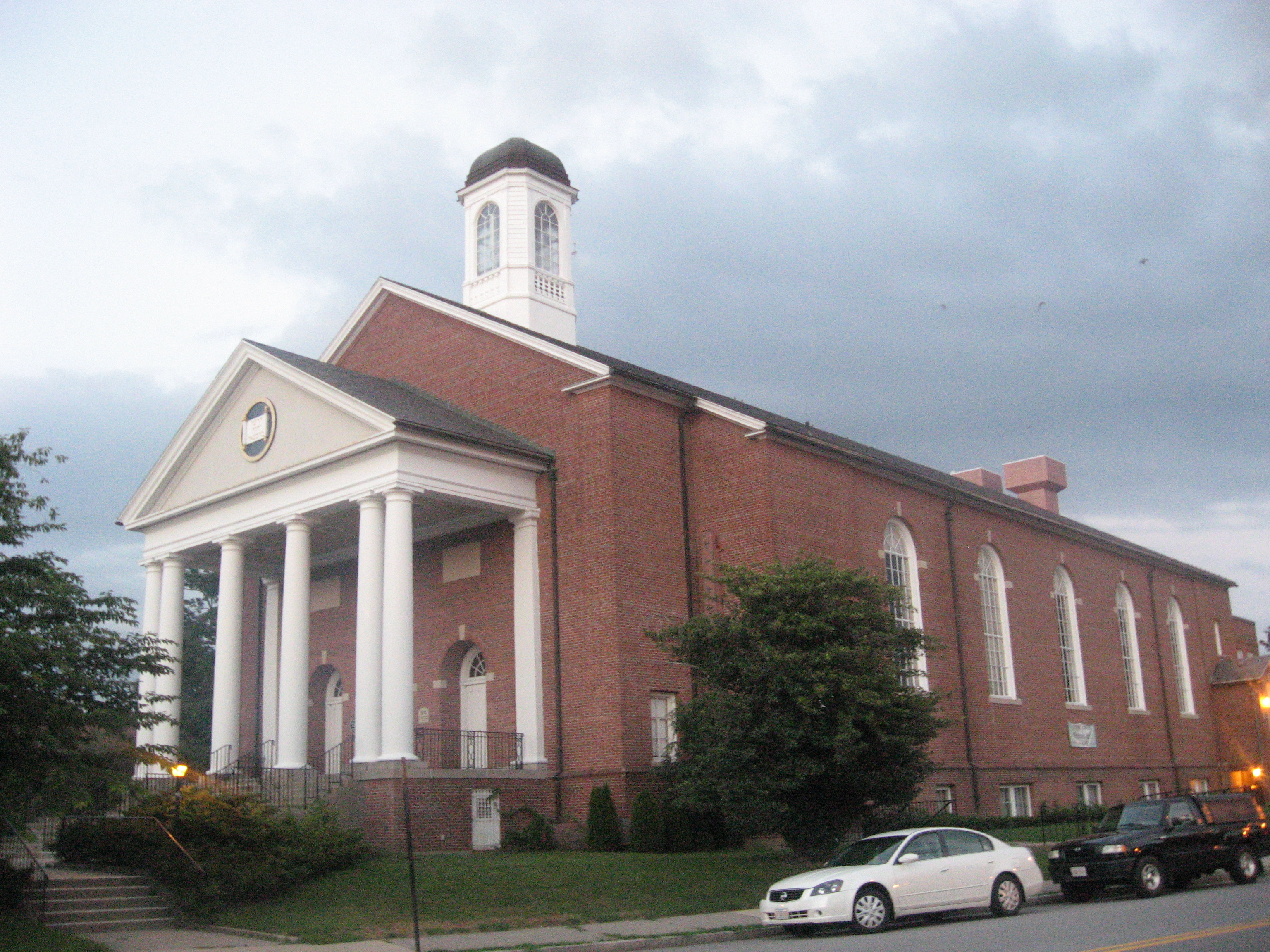
and Temple Emmanuel in town along the way.
The path I took to find the old mill dam in this area is shown below in pink.
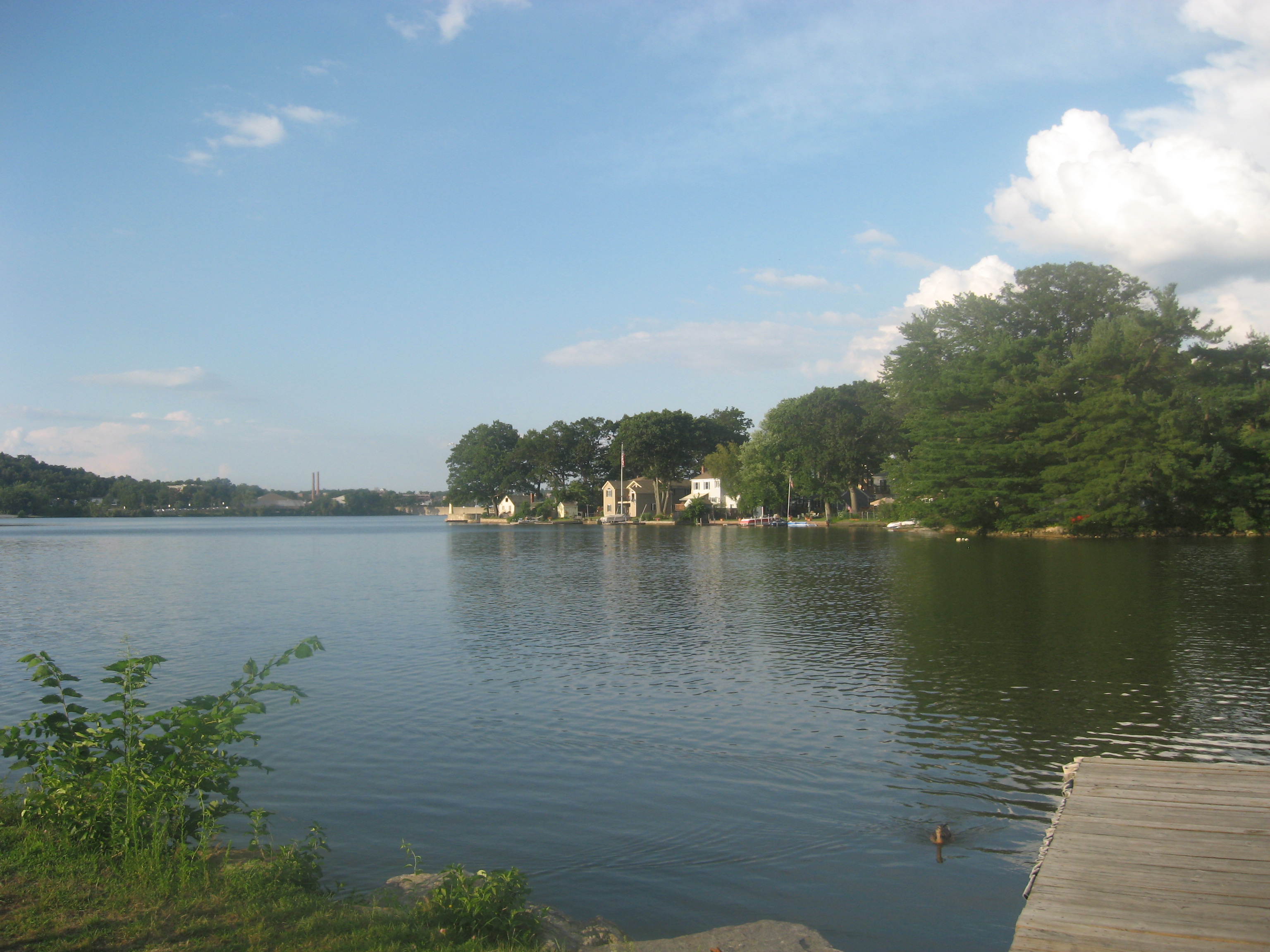
Unfortunately, there was nothing much to see at the site of the dam. To make matters worse, when I ran out of the area to avoid the bugs, I ended up dropping my phone along the way back, only finding out on the shores of Indian Lake at Morgan Park at ~580 Grove Street.
Thankfully, I managed to find my phone relatively close to the trailhead when I went back to the woods. From here, I headed to my next hiking spot at Cook's Pond.
After parking in front of the gate to Bill Turbidy Way (illegal), the path I took to explore the pond is shown below in pink.
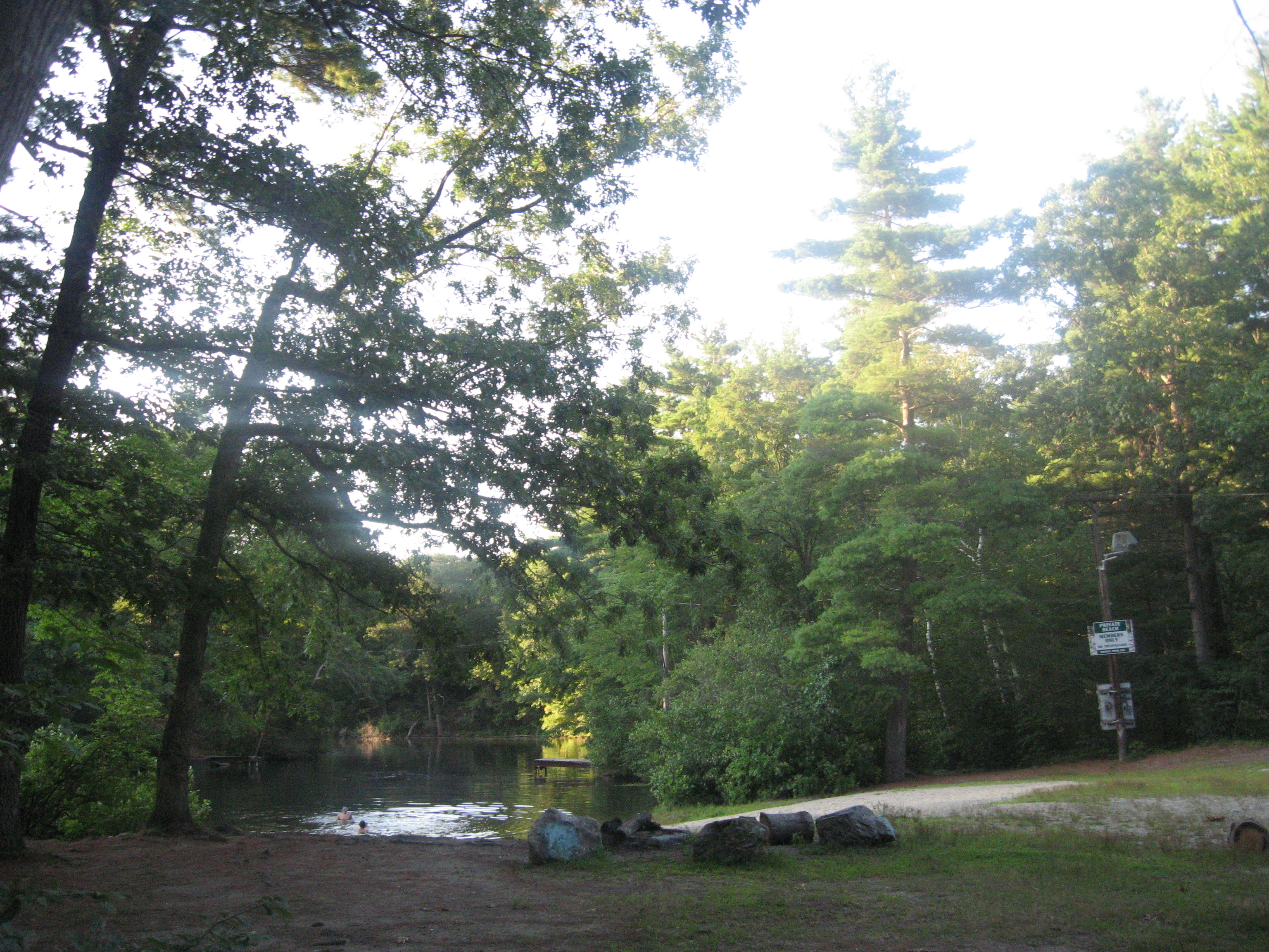
There were a few boys swimming at the private beach I passed by
on my way to the dam, which was pretty low on water flowing today.
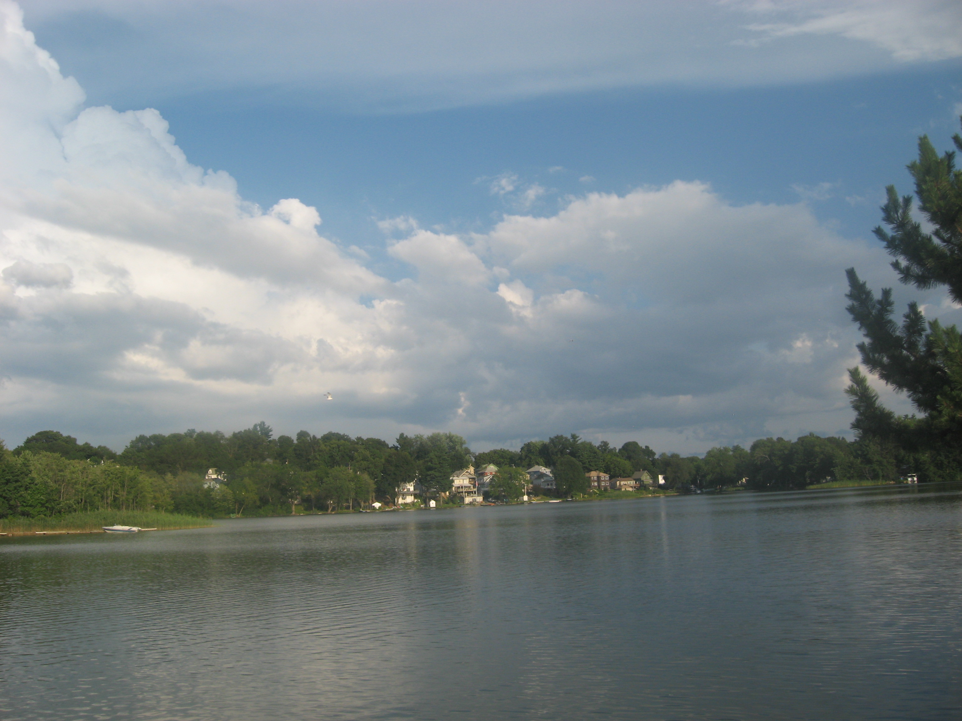
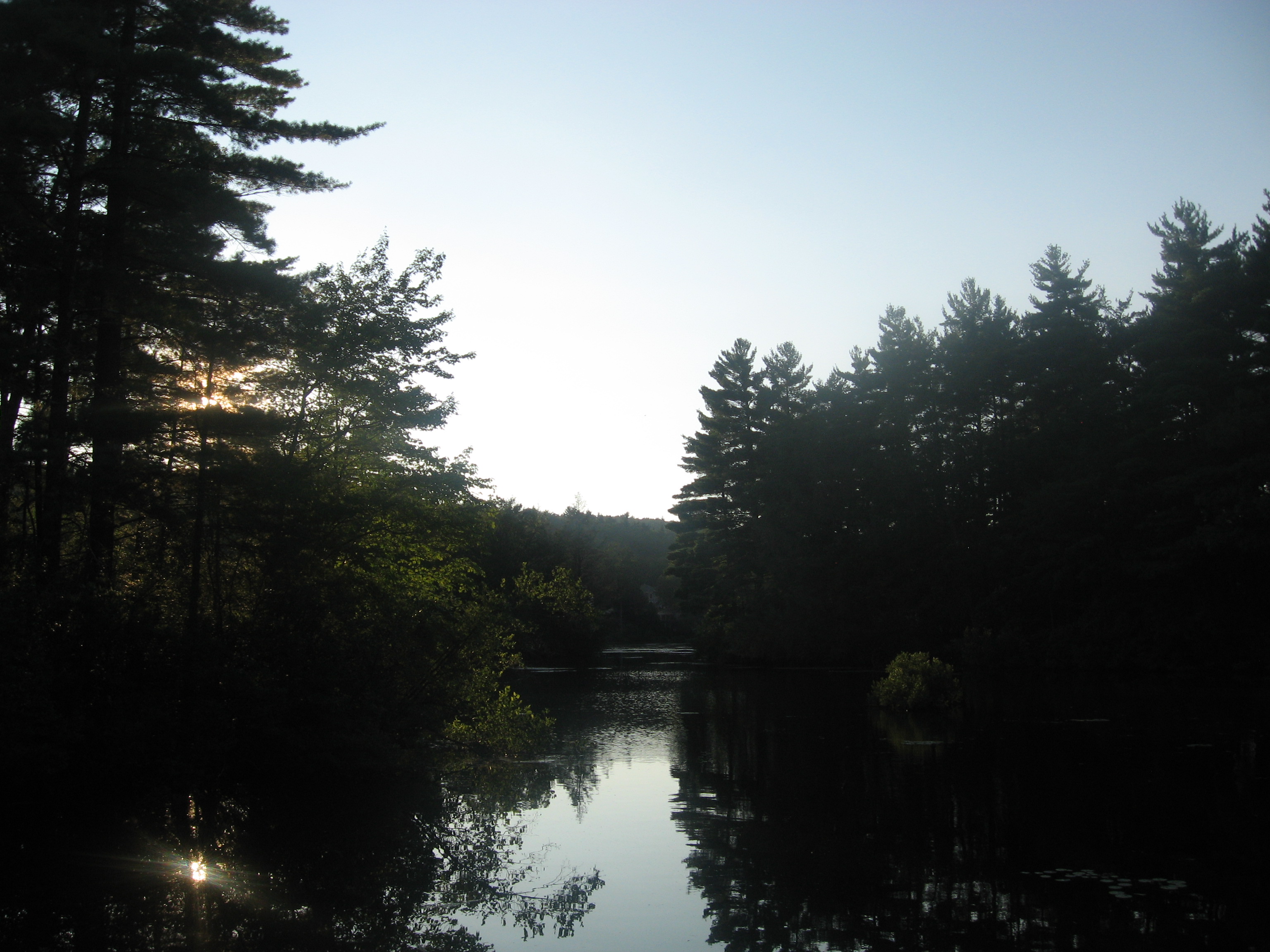
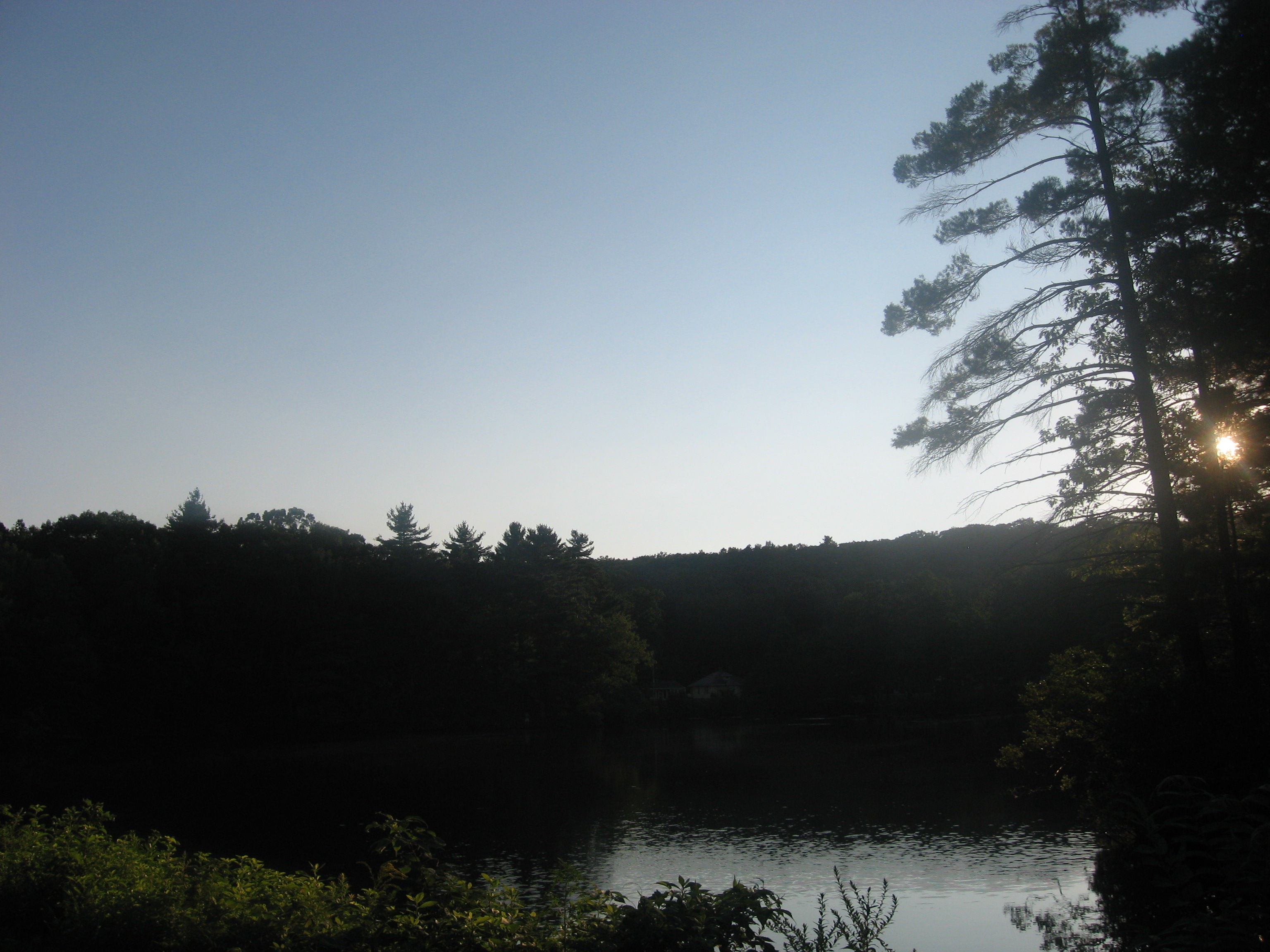
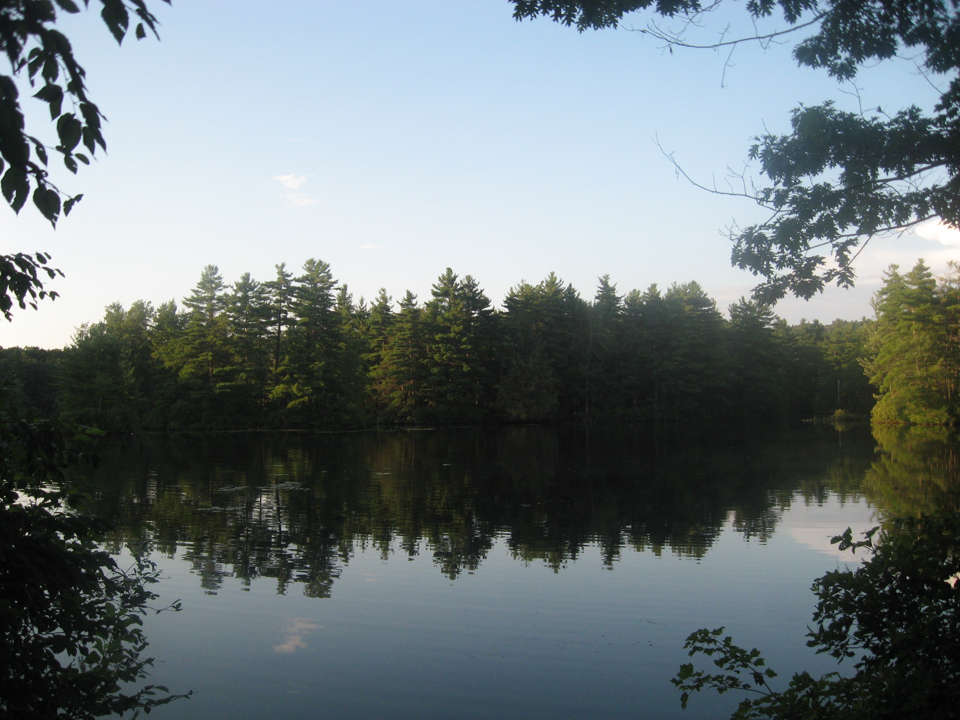
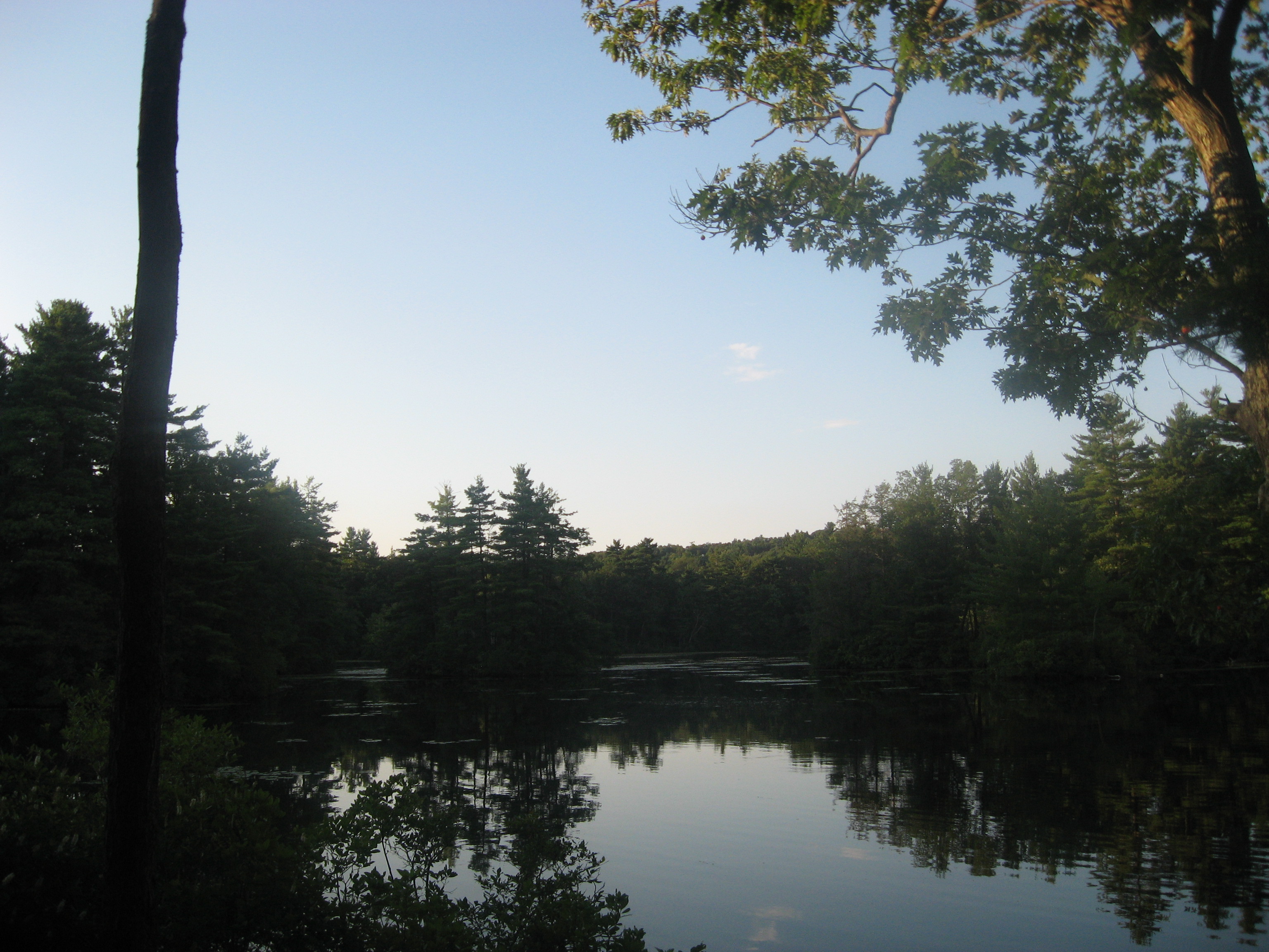
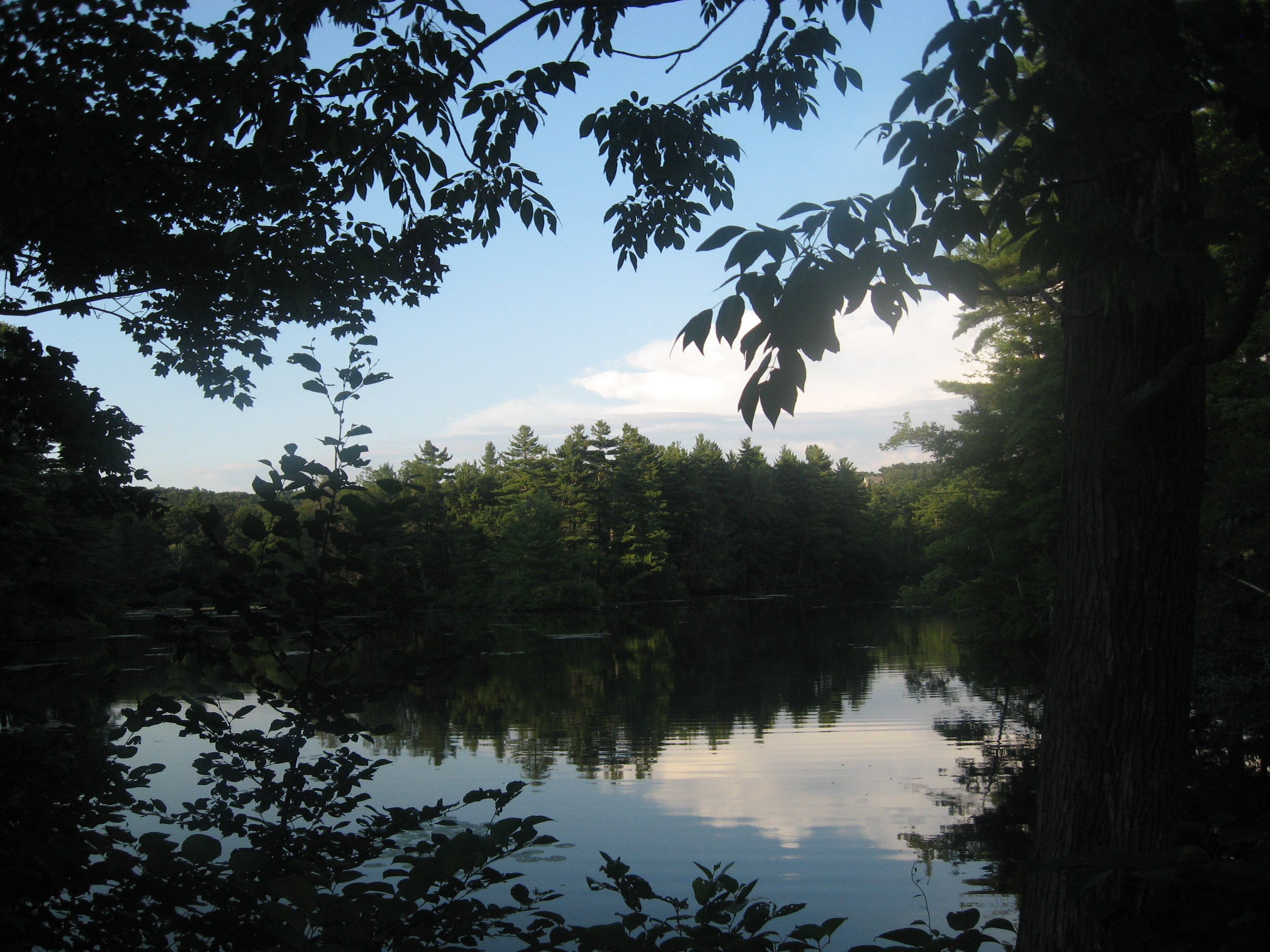
Other views of the pond I took follow below.
The reason for the slight detour back to the road that you can see on the map above is because I went onto a side trail thinking it was the right path, and on backtracking, I actually found the right way to go, which was obscured slightly due to the presence of plant growth.
After leaving the area, I decided to visit one more place, the Kinneywoods. The path I took here to see Crystal Pond is shown below in pink.
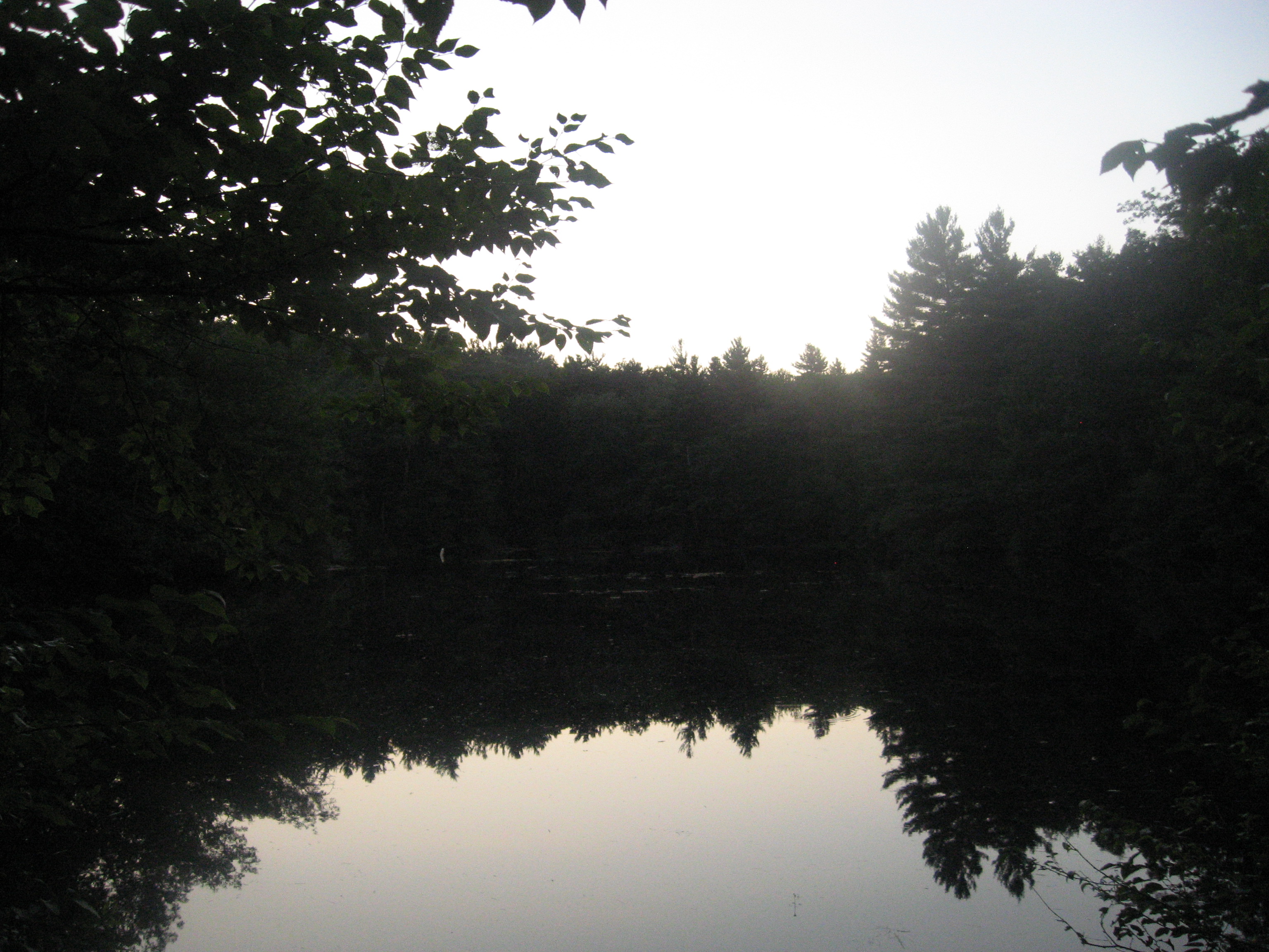
Crystal Pond was a small water body that was not much to look at though.
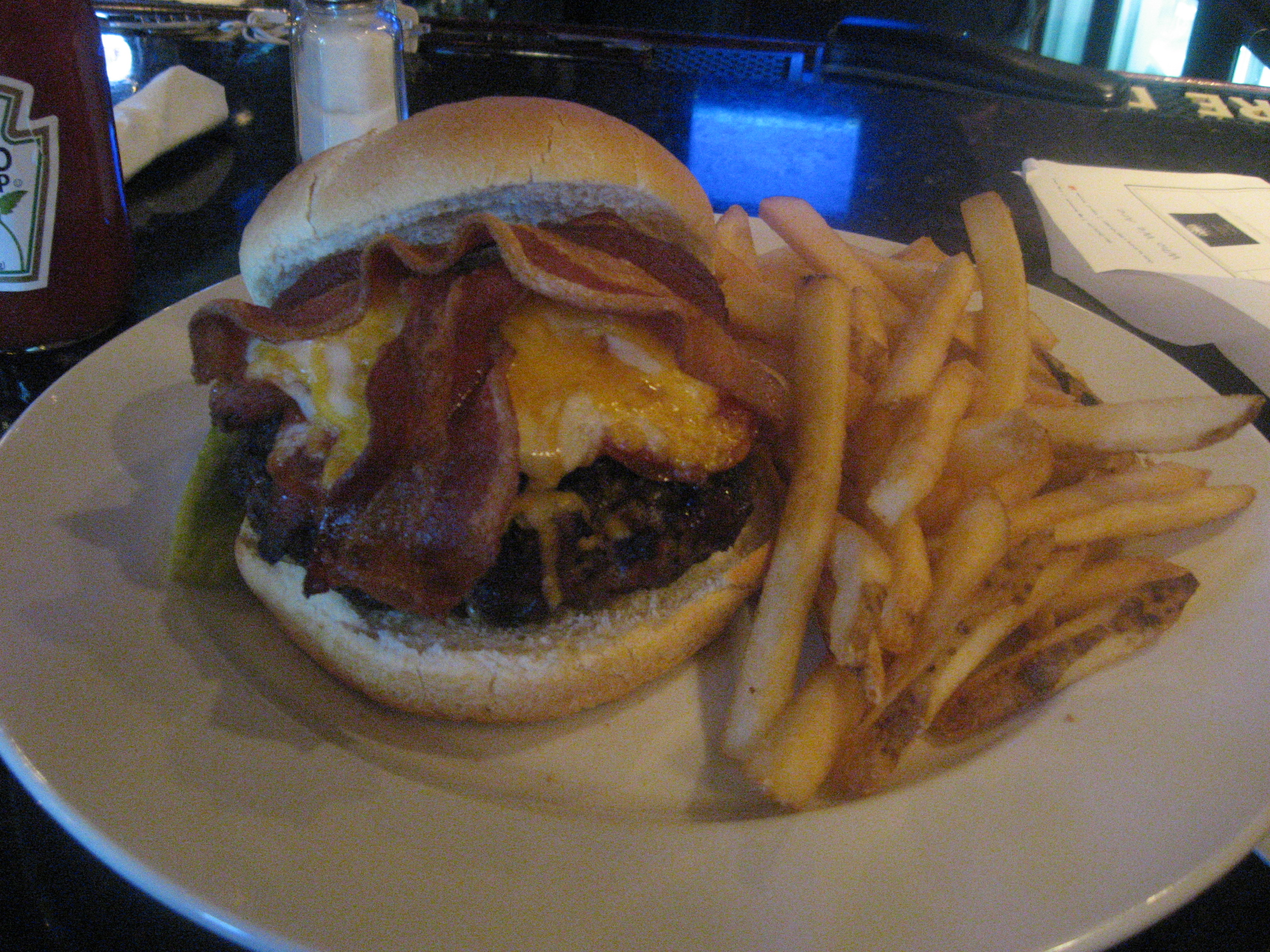
From here, I called it a night, heading to the Perfect Game Sports Grill and Lounge, a typical bar restaurant in town for dinner. I decided to get the Perfect Burger for the day, a 12oz beef burger with Pepperoni, Kielbasa, Bacon and Cheddar/Jack Cheese.
I'm just glad I did not lose my phone today.




No comments:
Post a Comment