
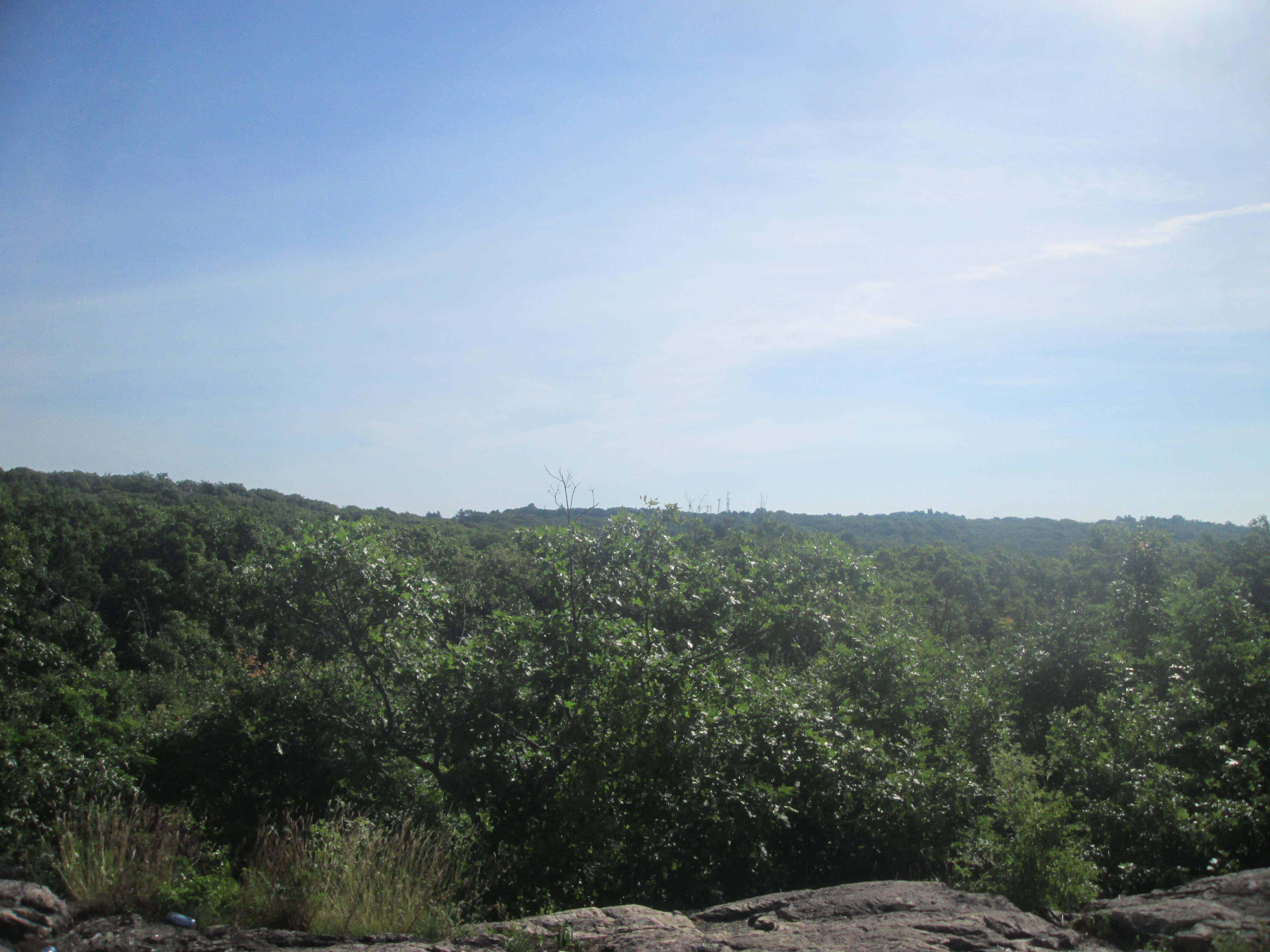
The first viewpoint on the trail was just okay, being a little overgrown.
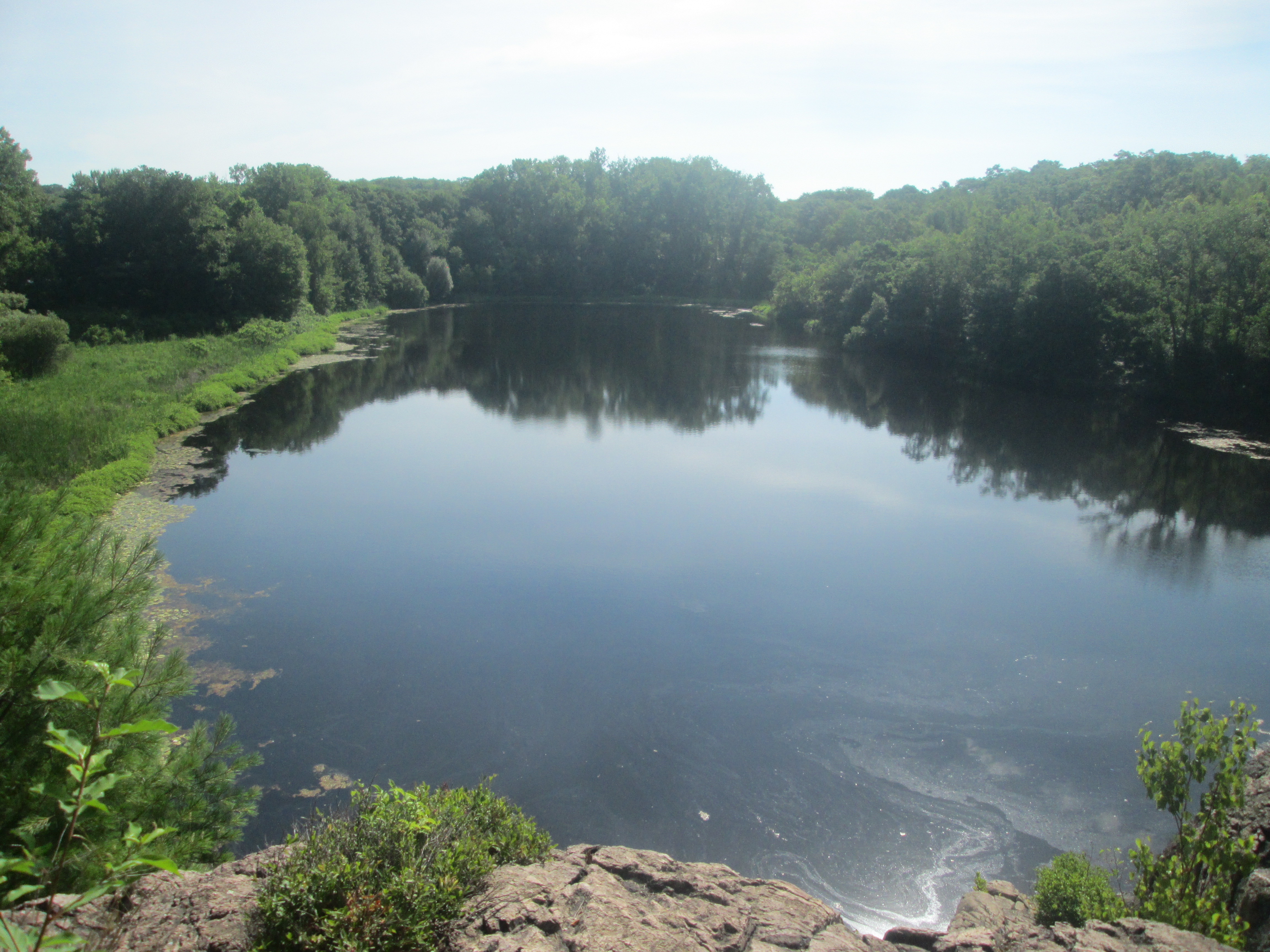
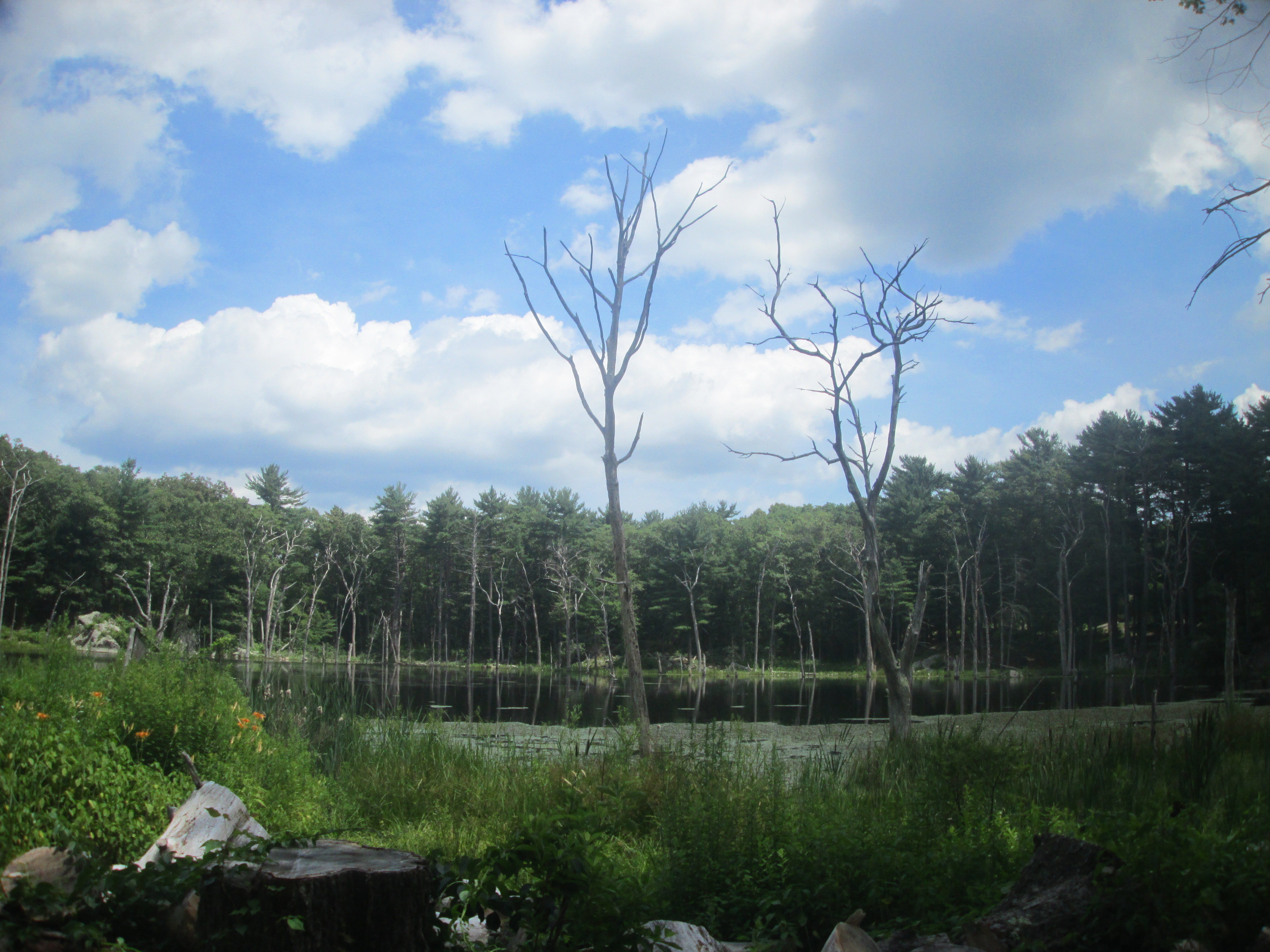
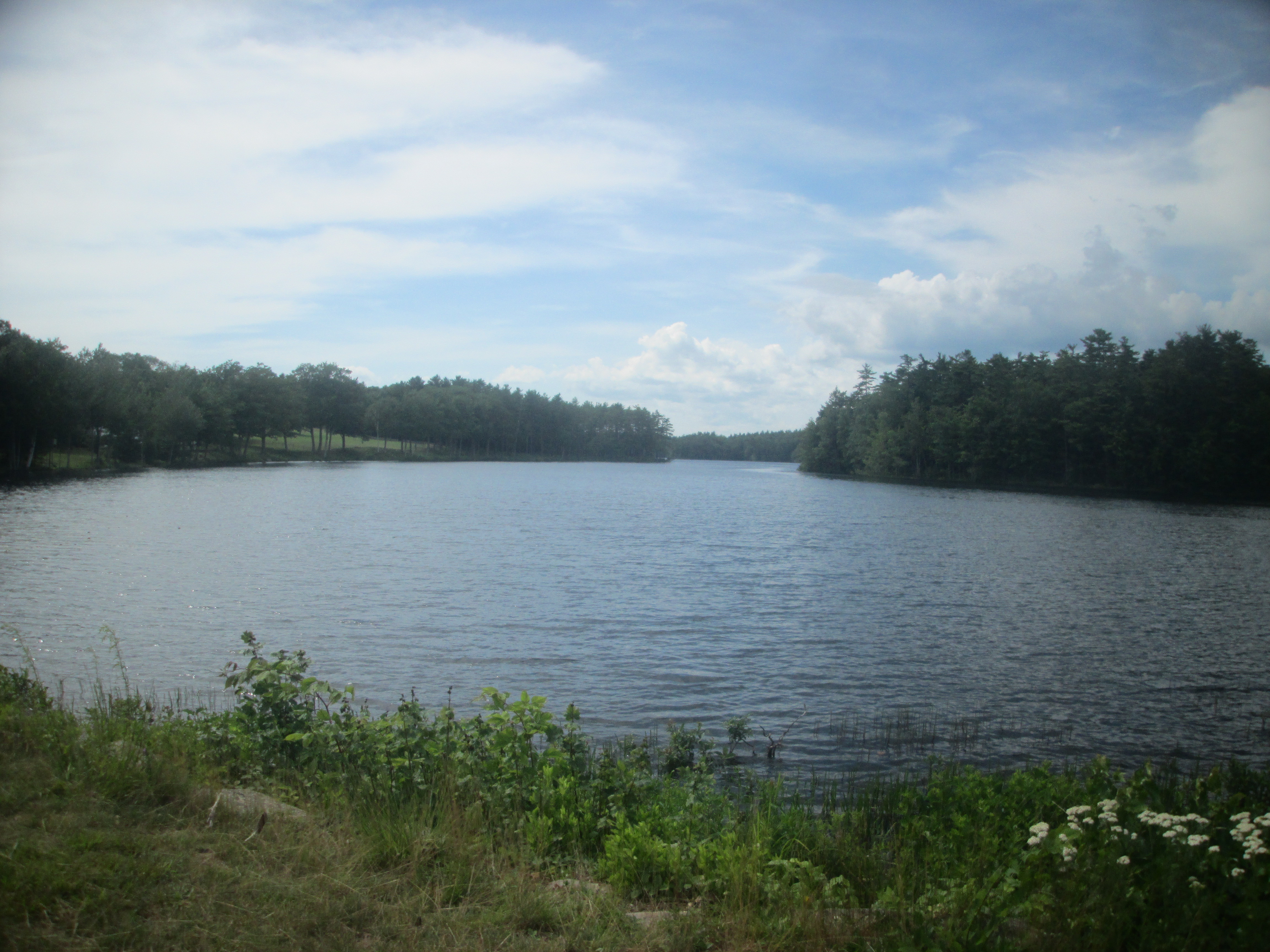
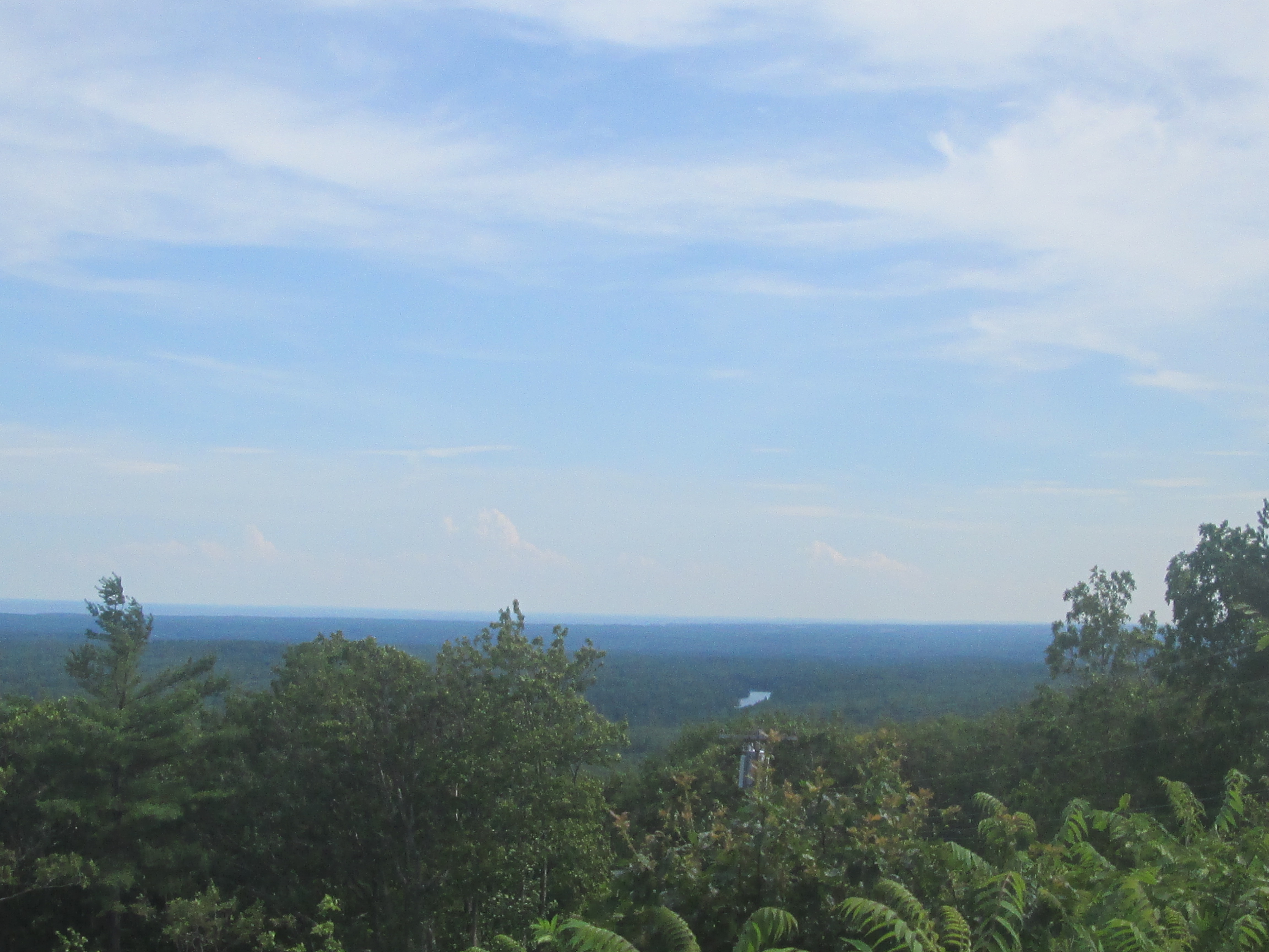
Next, I made it to a nice overlook of Swain's Pond.
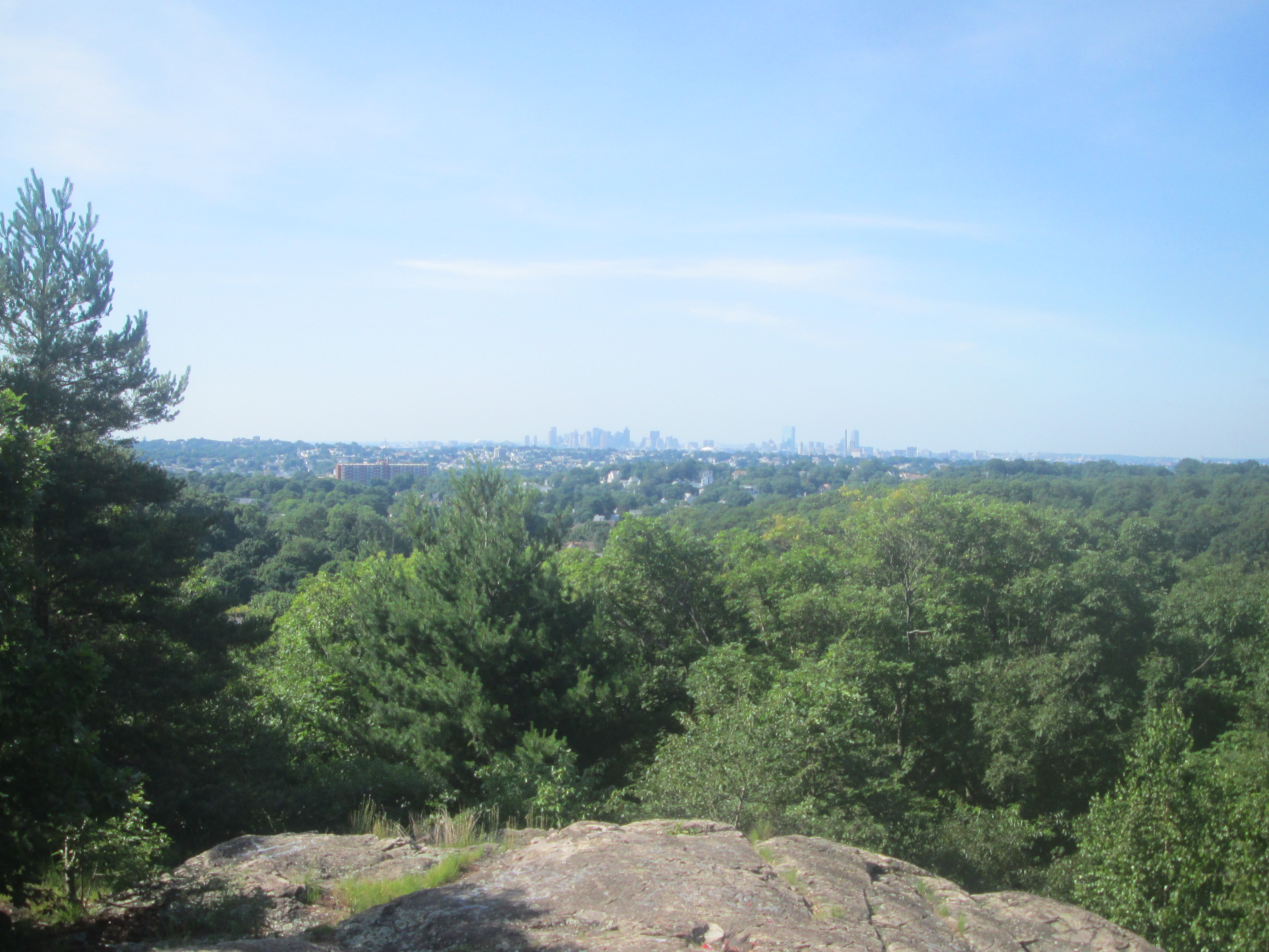
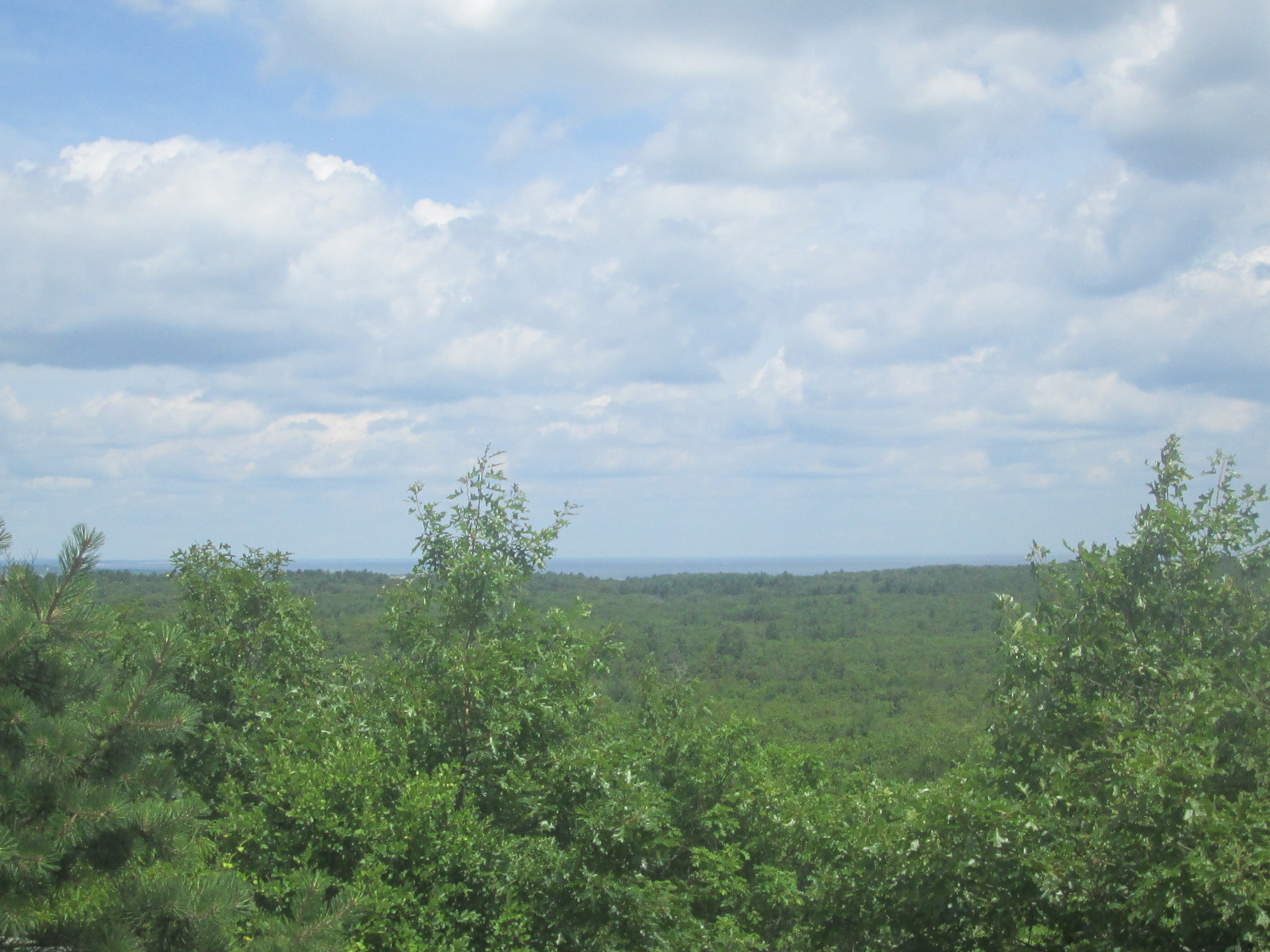
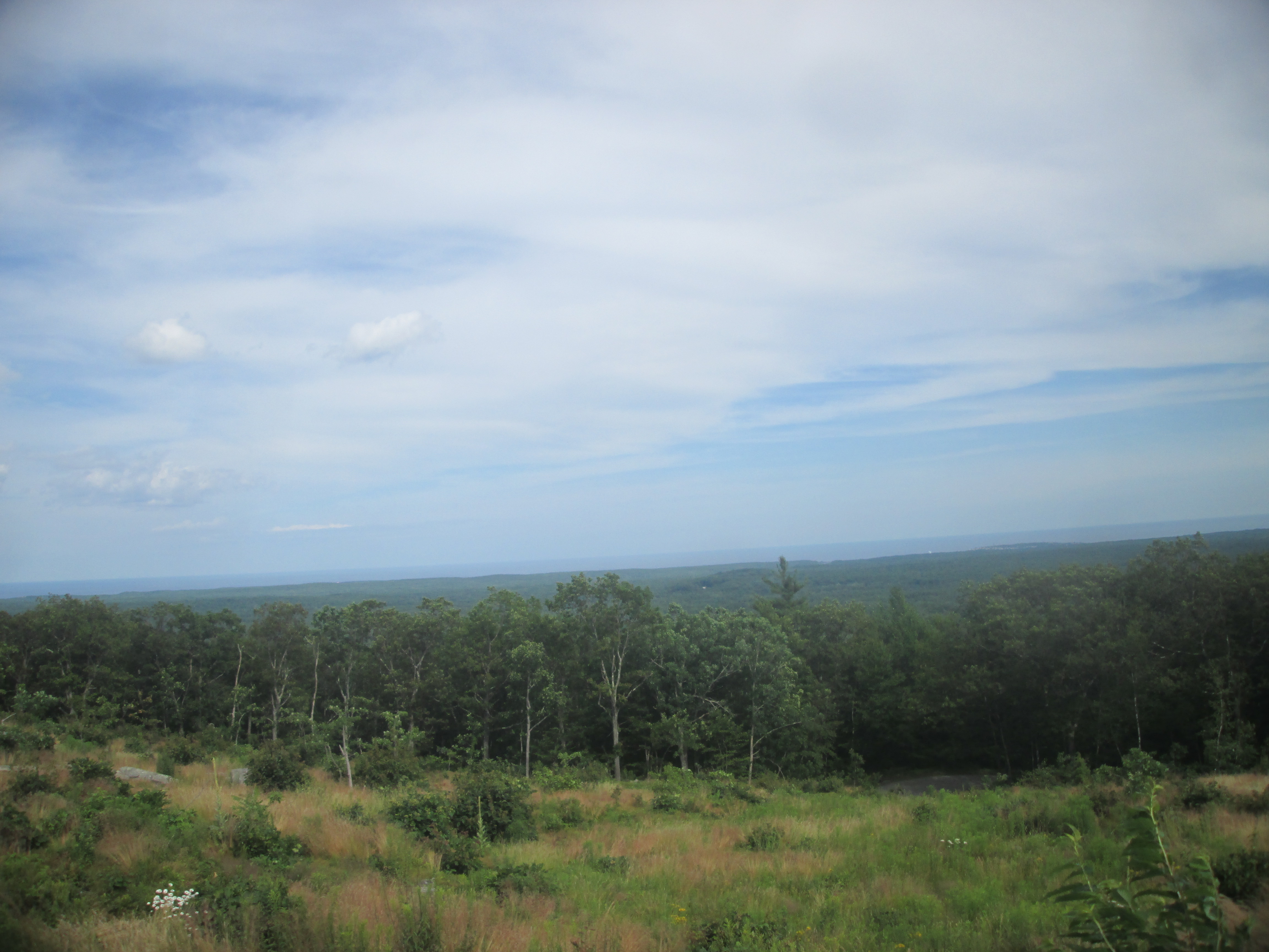
From here, I headed to the final viewpoints, where I could see the Boston skyline from afar.
From here, I managed to make it back out to Prescott Street, heading back along the road to my car. Not a bad day for hiking I guess.
I was feeling a little hungry, so I decided to grab a bite in town at Coffee, Tea and Me, a small cafe in the downtown area which was filled with people this time of morning, so I decided to bring the All American Crepe (Maple Syrup, Apple Butter, Raisins) I got,
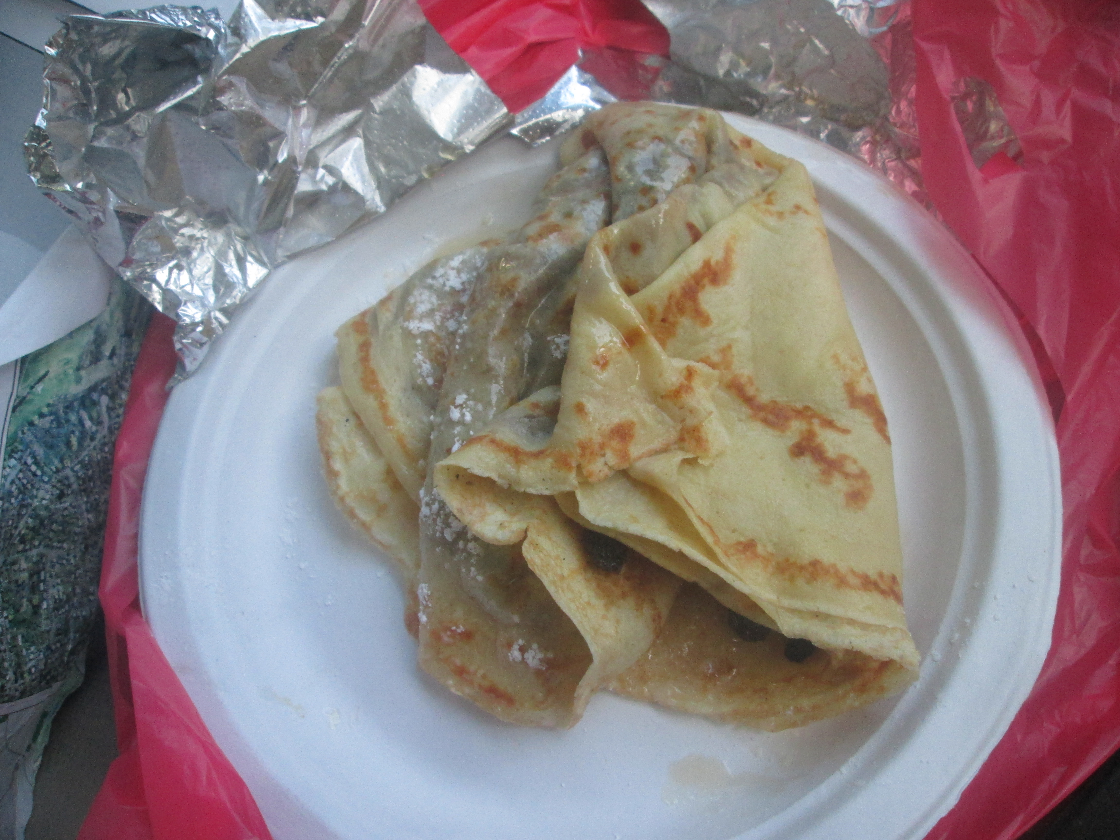
together with the Warrior Shake (Banana Pineapple, Blueberry) back out to my car.
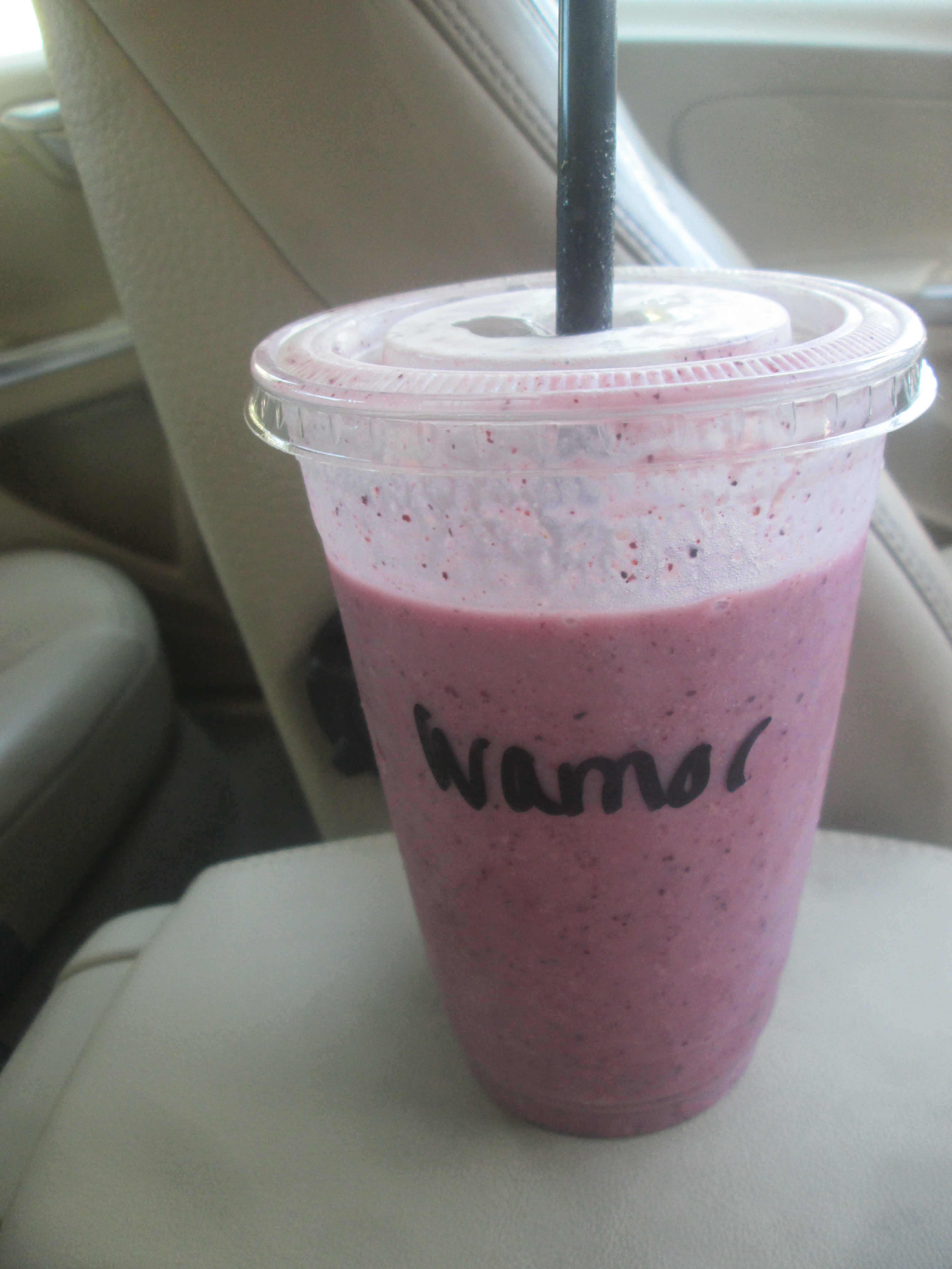
The shake was simply excellent to quench my thirst, although the crepe was just average.
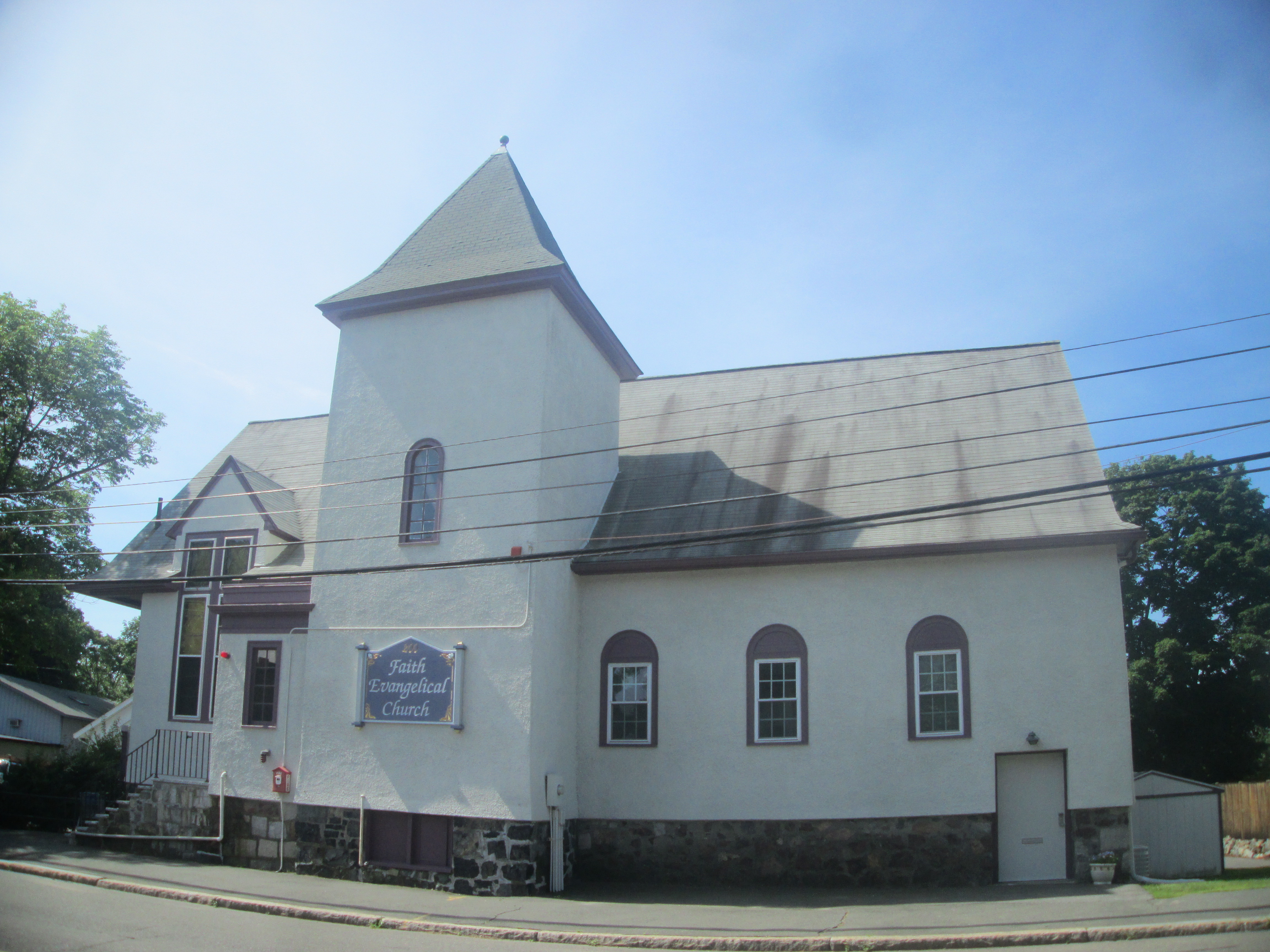
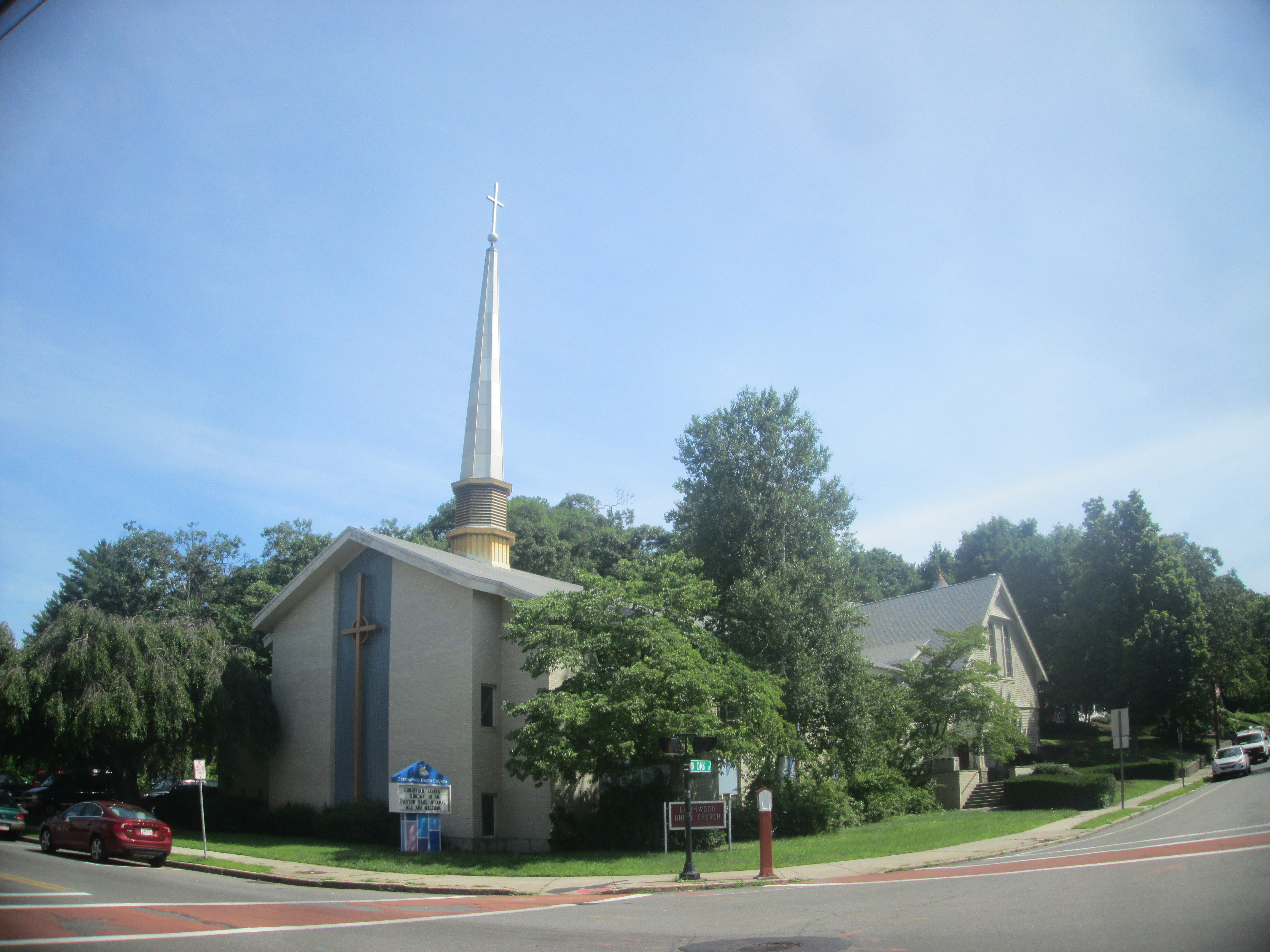
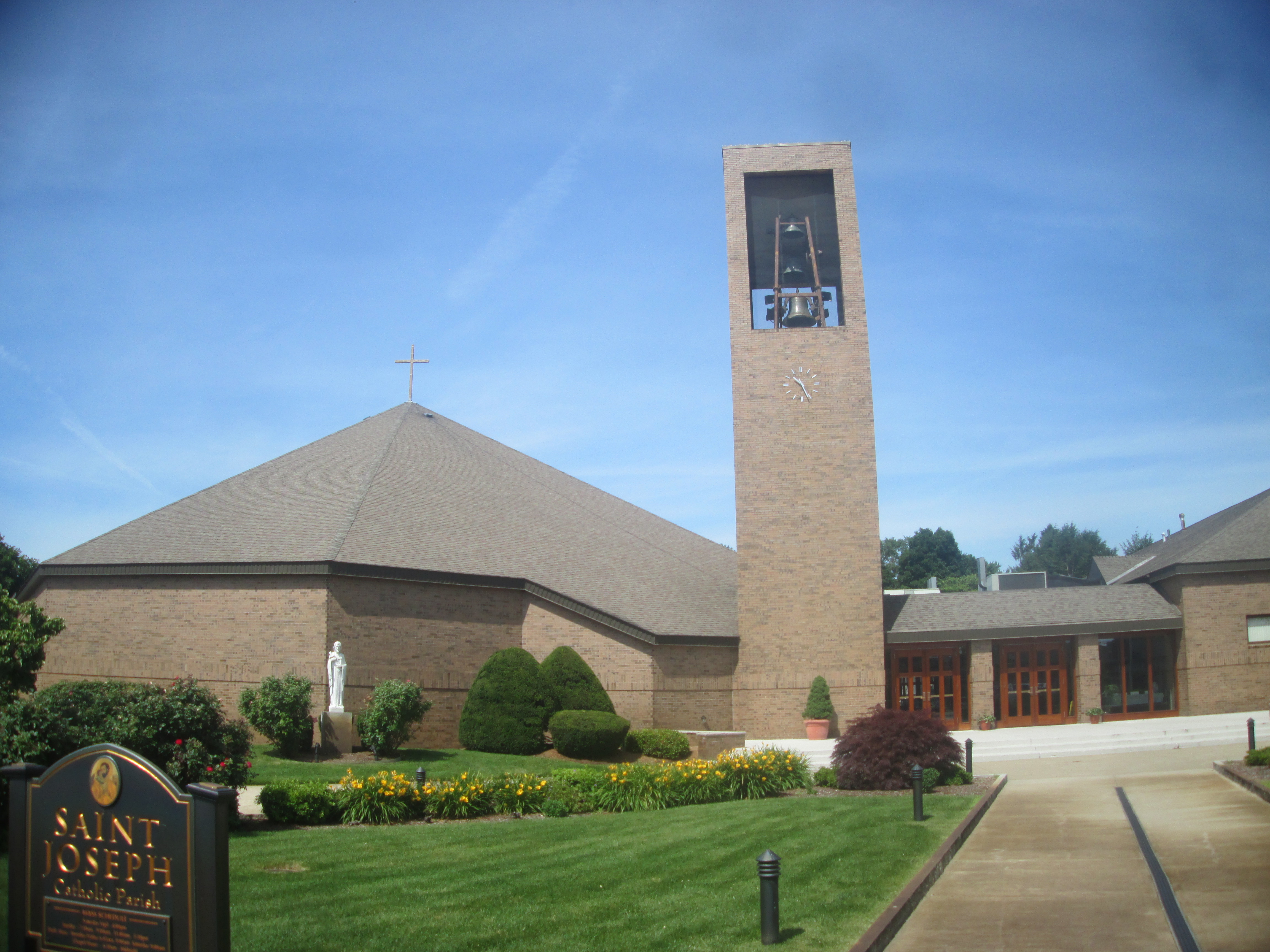
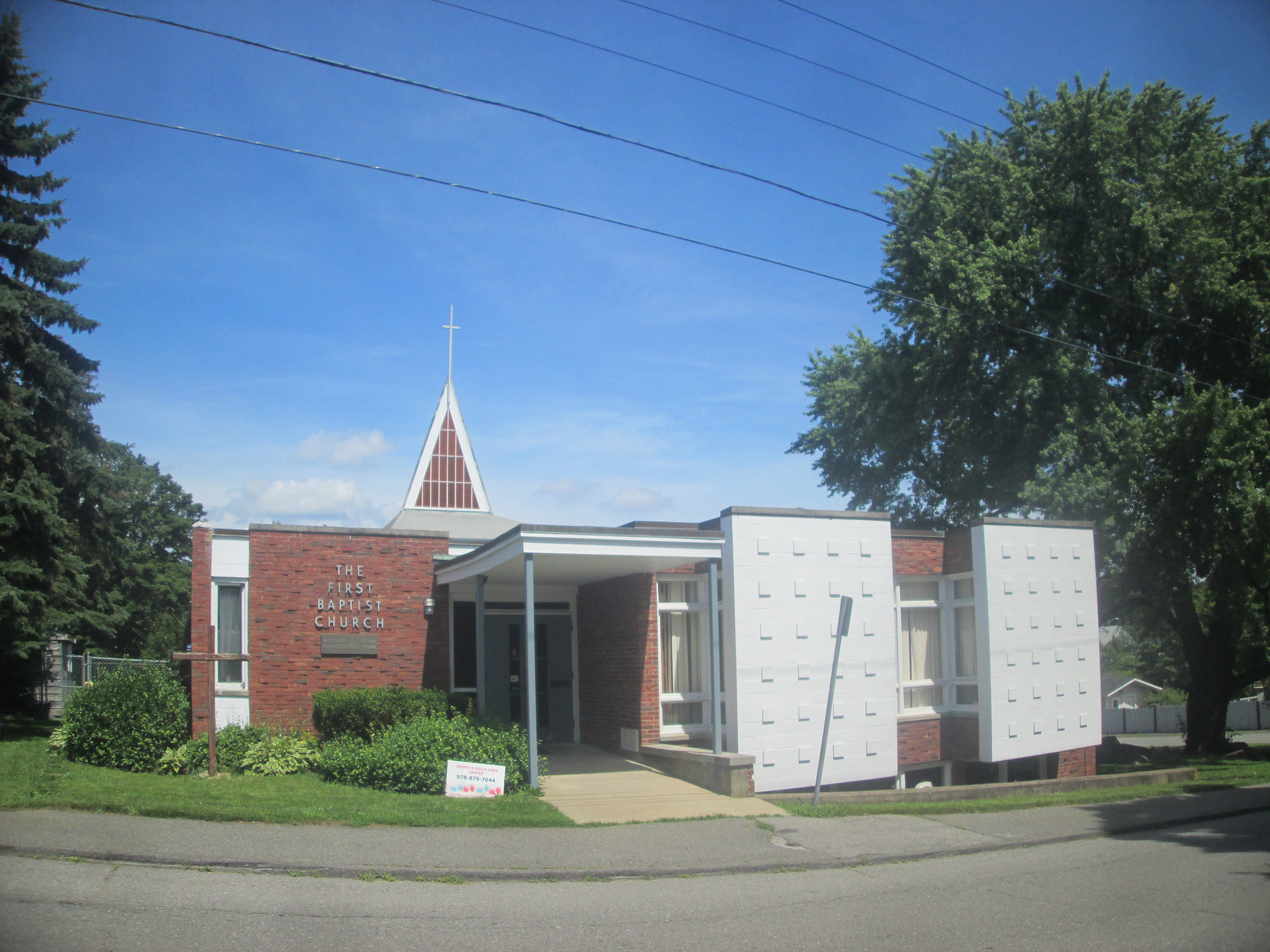
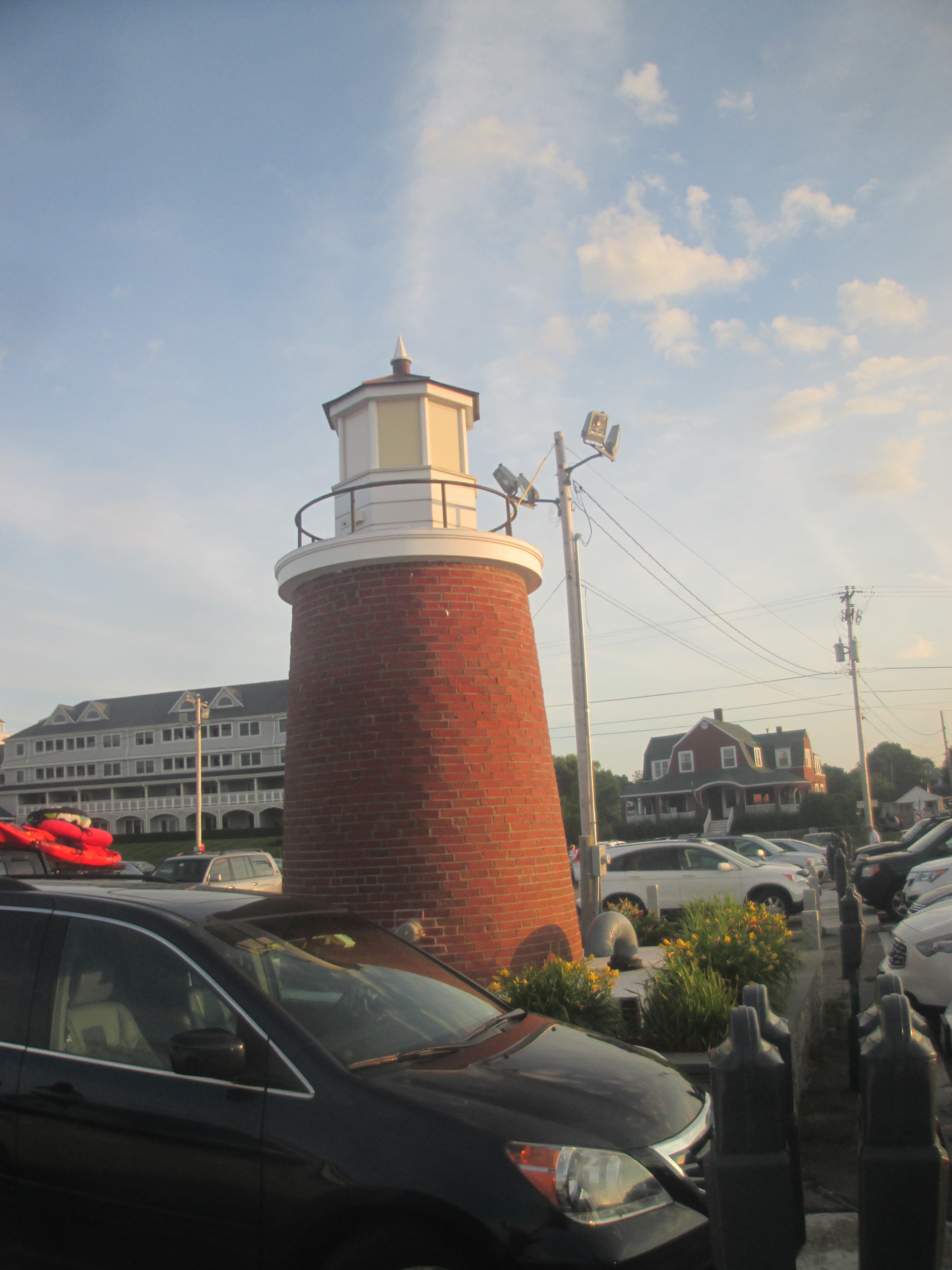
From here, I passed by a few places in Wakefield

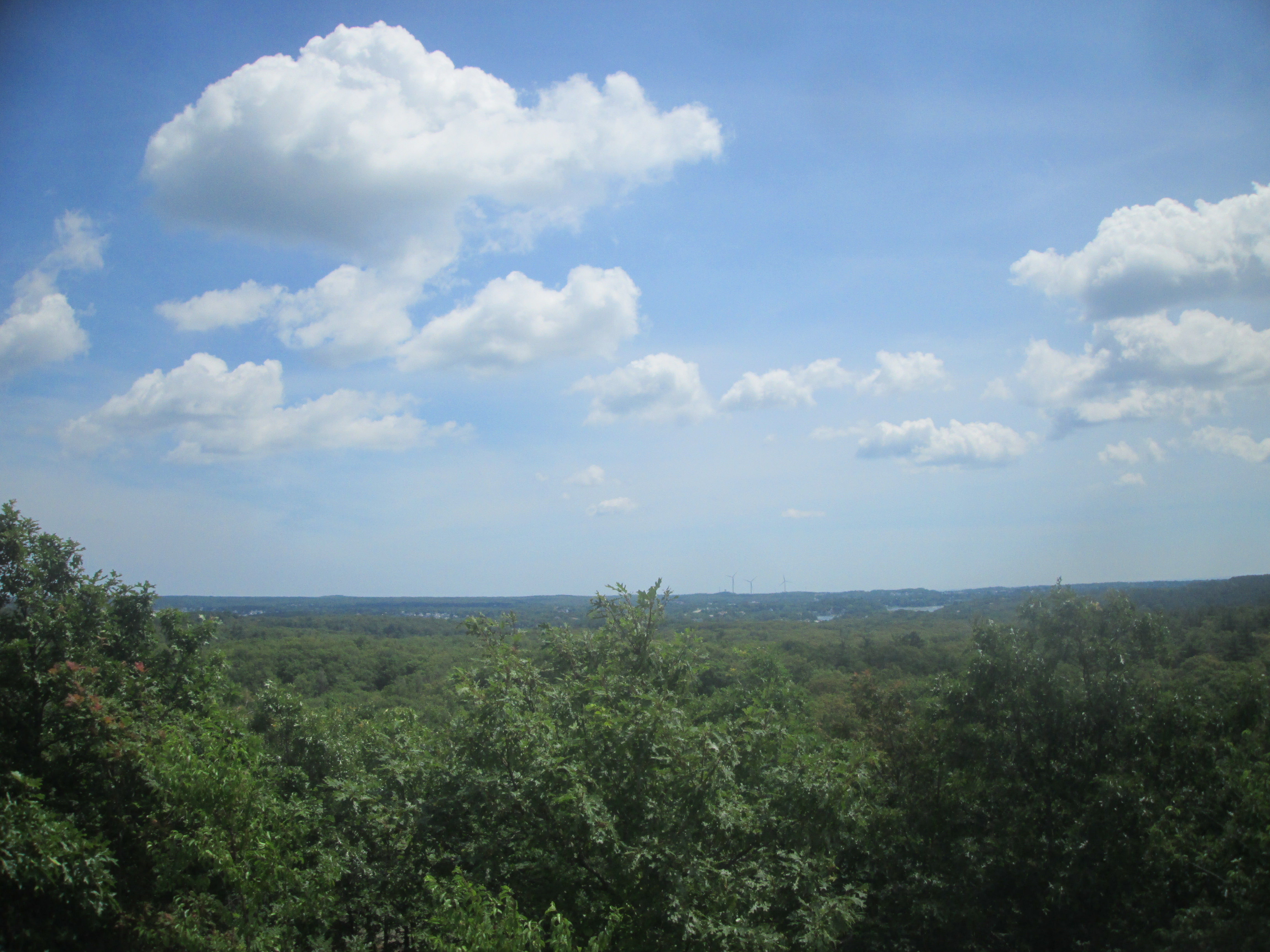
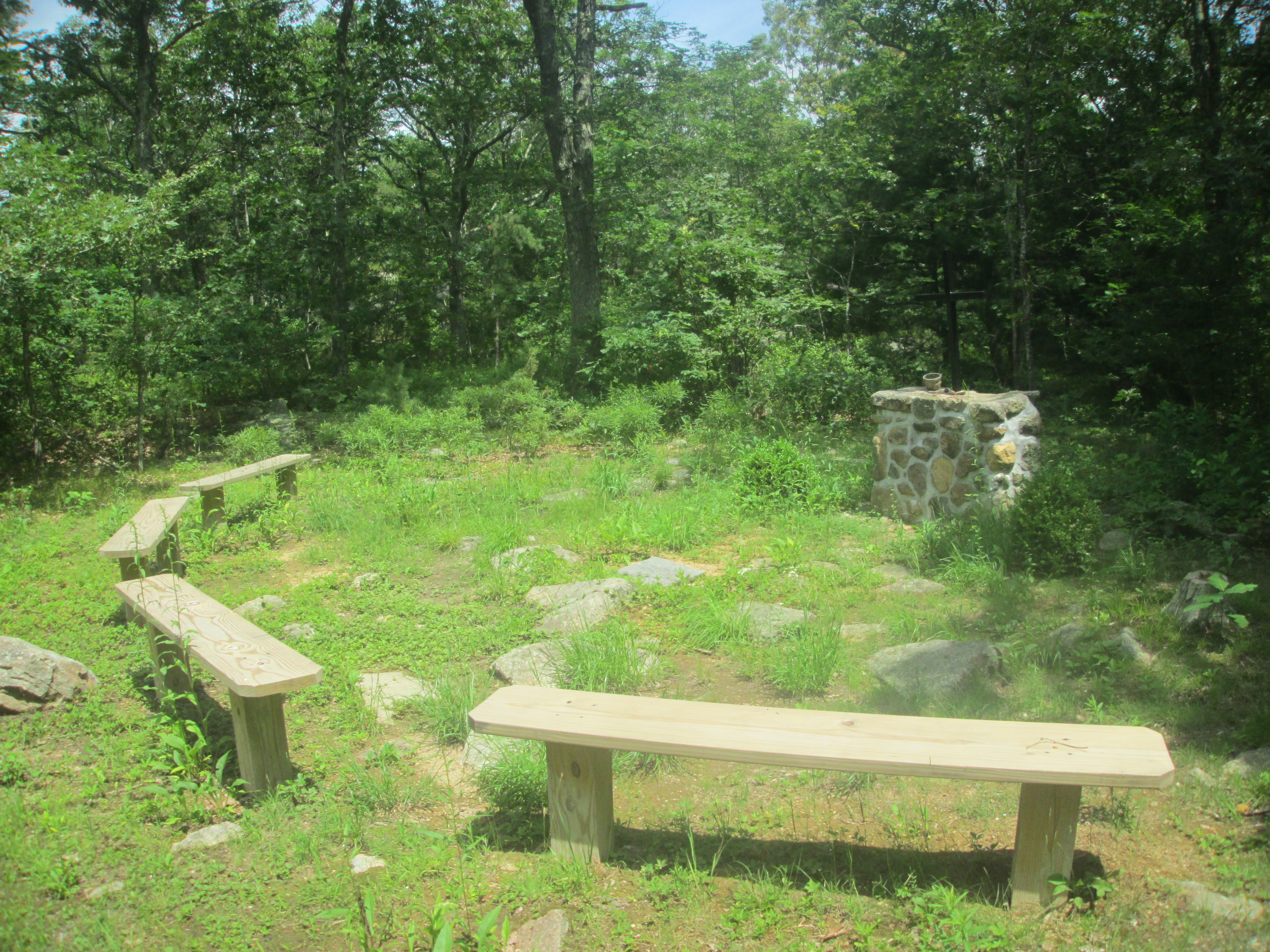
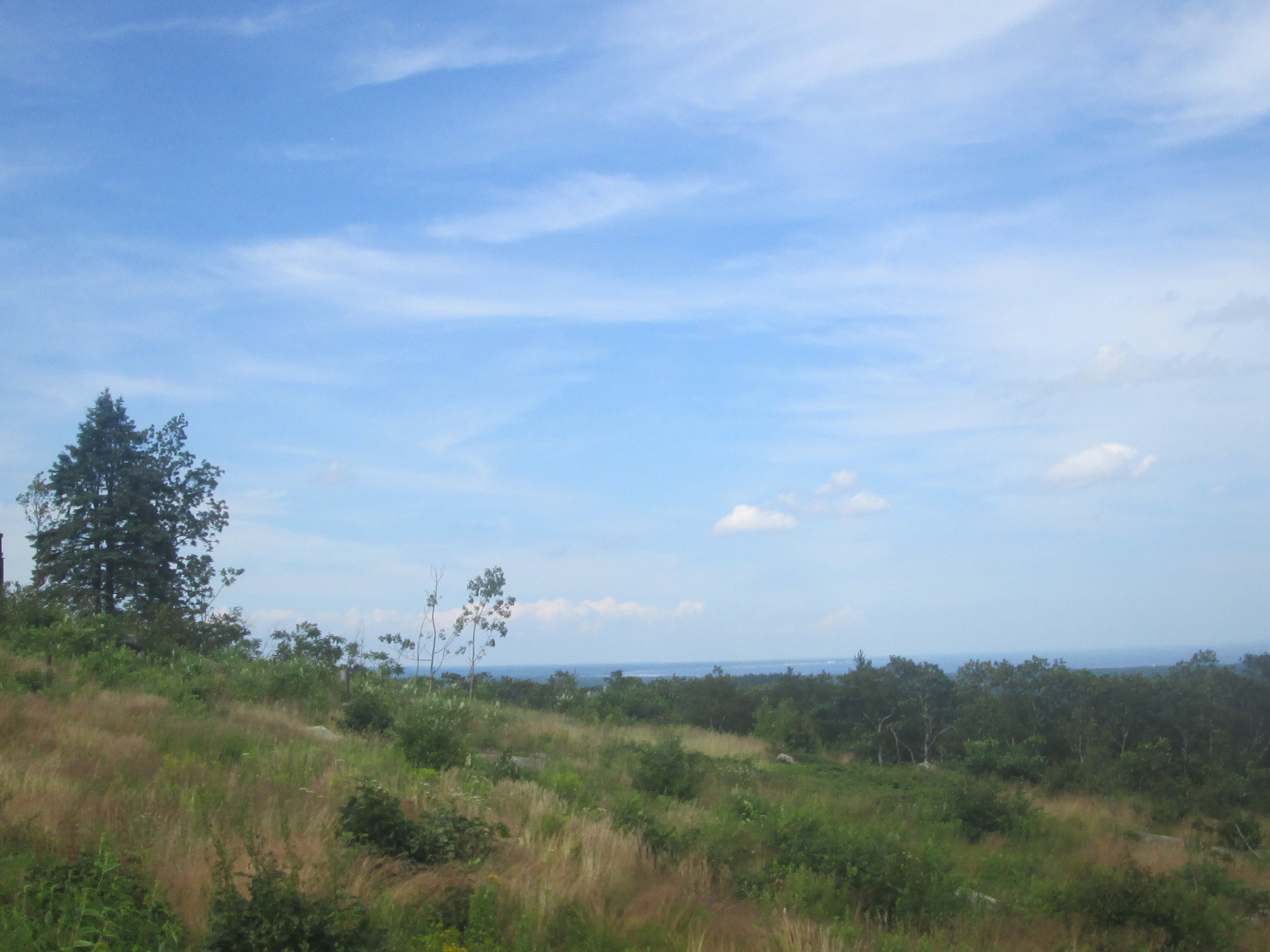
After parking at ~96 Fernald Street near the Mount Jacobs Cemetery, I took a side trail to head up to the top of Sunset Mountain, which had pretty decent views of the surroundings.
I decided to go find the site of the 1716 Second Parish Church and Eagle Rock, parking at Bray Street and Thompson Street. However there were so many side trails that I kept getting lost, somehow finding my way to Eagle Rock, which wasn't much to look at anyway, and on trying to get back, just kept getting more lost, passing by several patches of wetlands along the way.
Thankfully, the GPS on my phone eventually led me back to Thompson Street, which I knew because I found the site of the church,
and the way back from here was pretty simple, so I was able to proceed with the rest of my day.
My next stop after passing by the Whittier Memorial Bridge on I-95 near Macy Street along the way
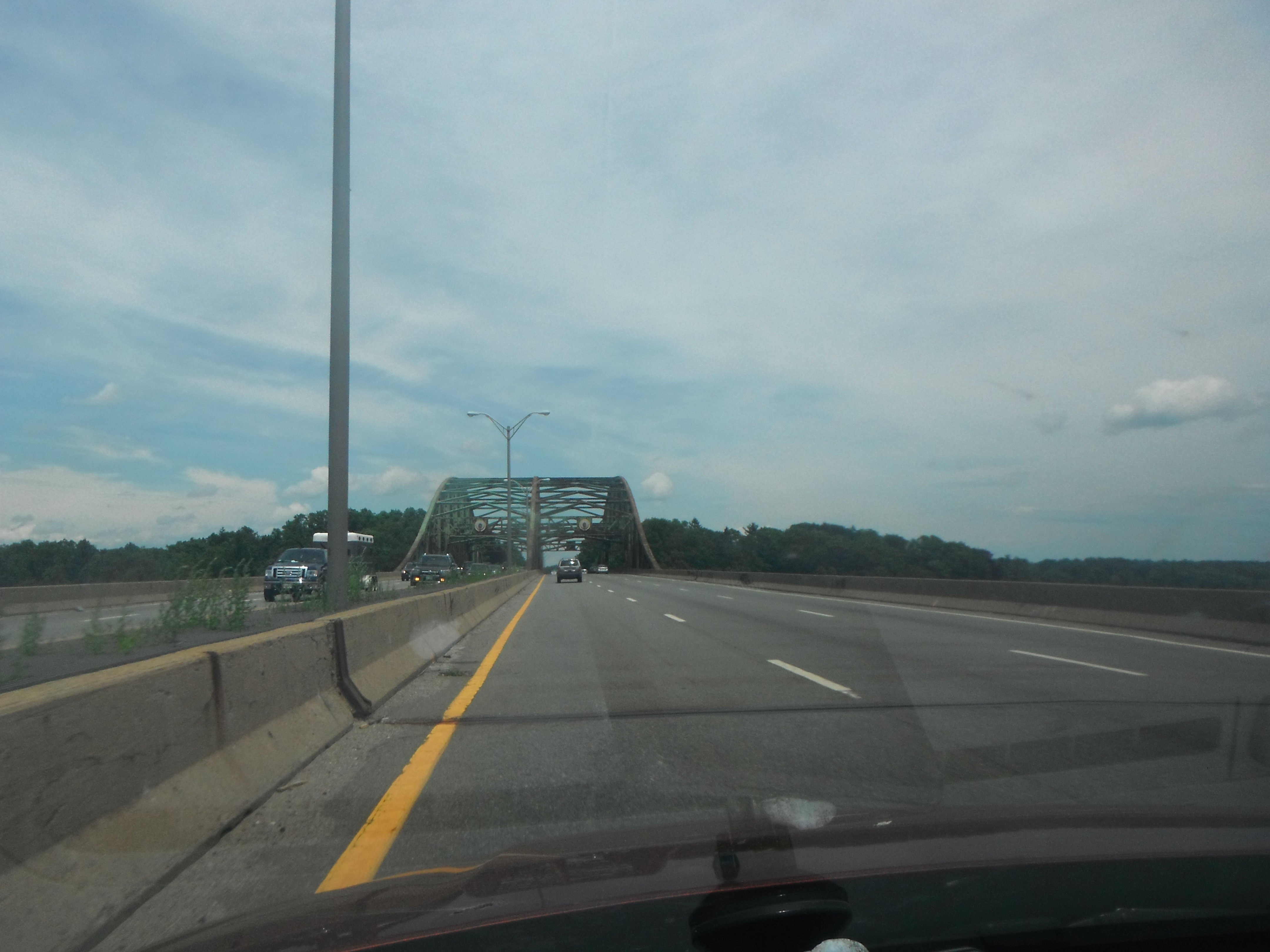
was the Amesbury Sports Park in Amesbury, where I had a Groupon to go summer tubing, and more importantly, ride down the hill in a zorb ball.
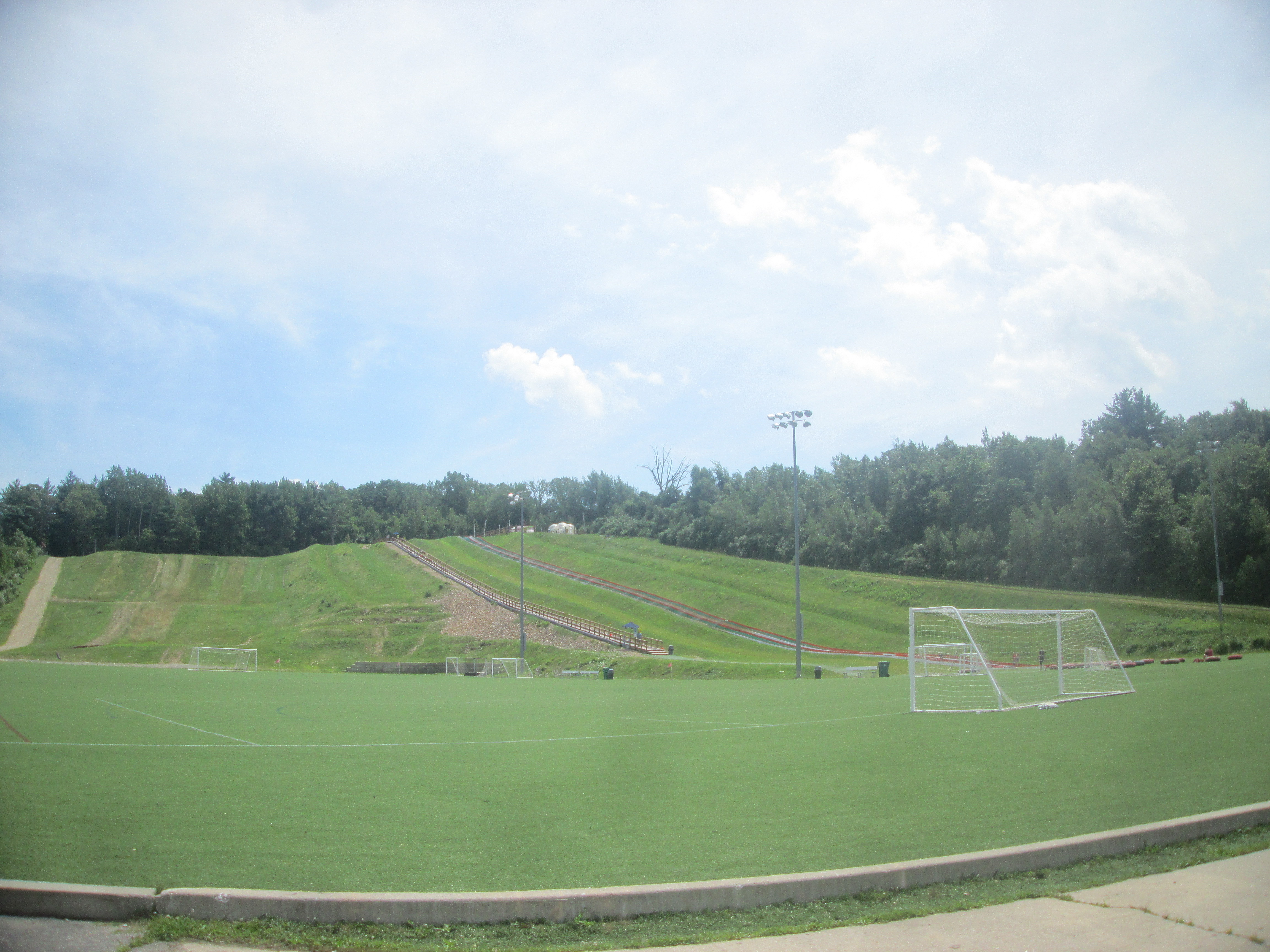
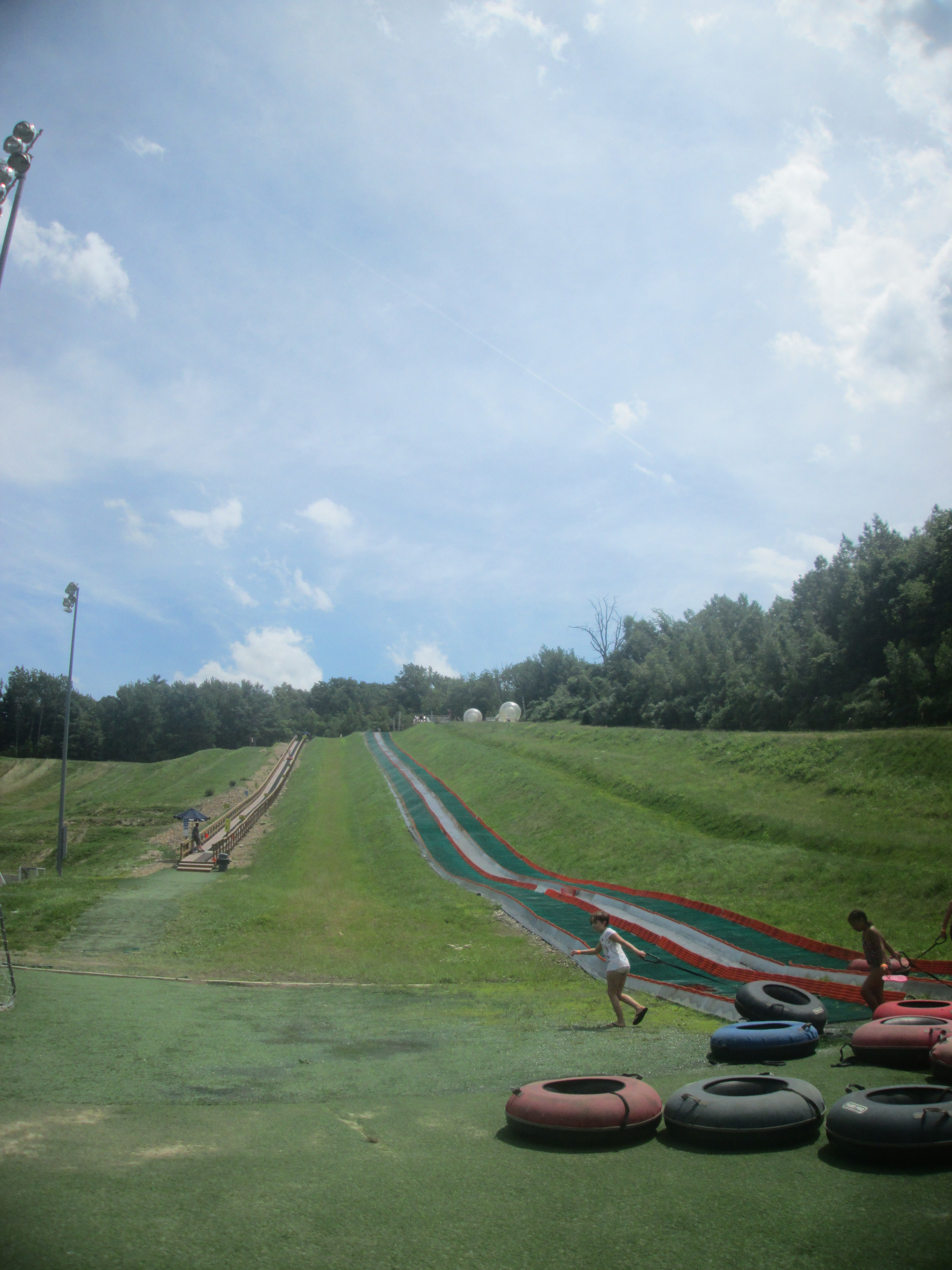
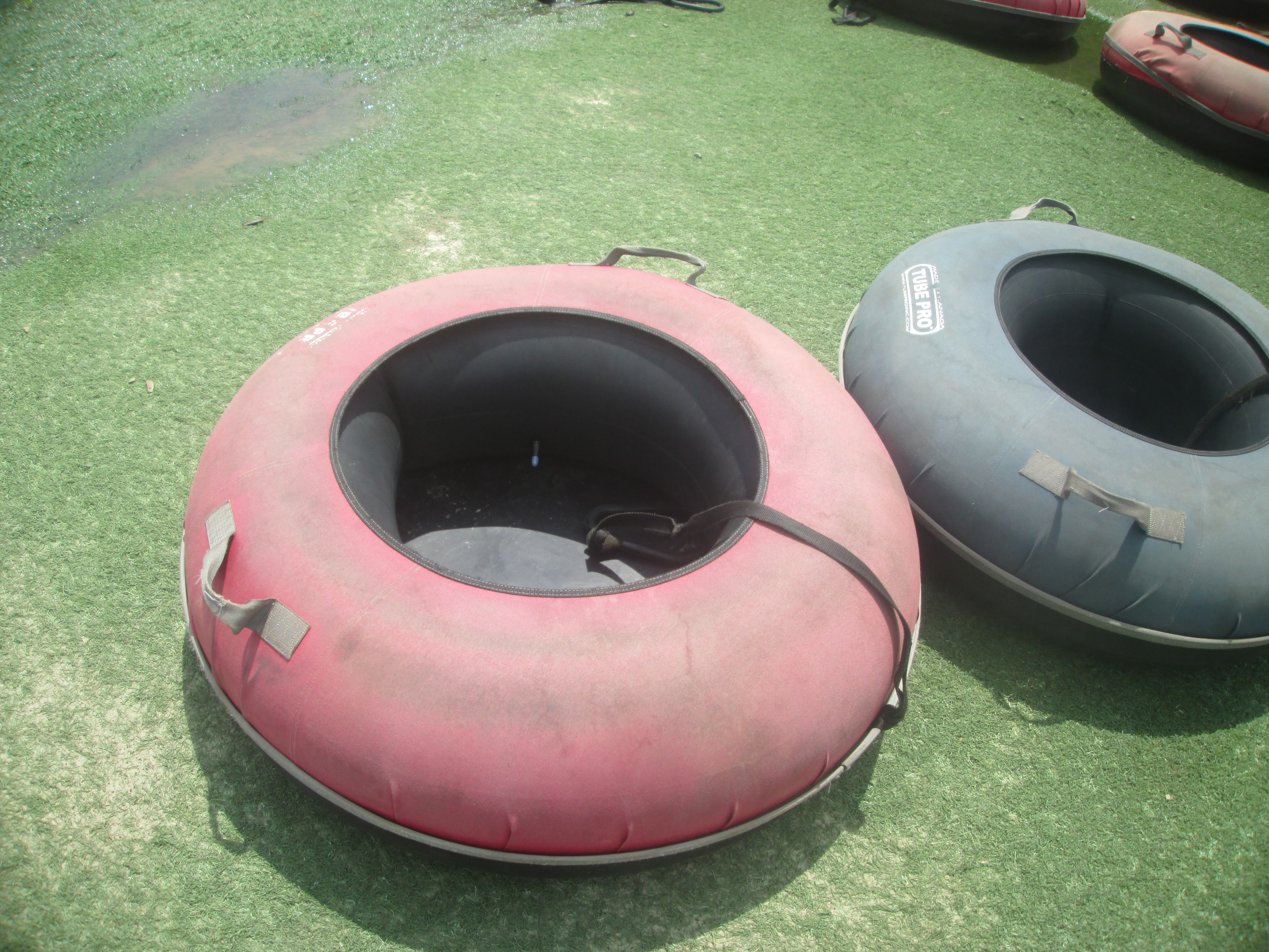
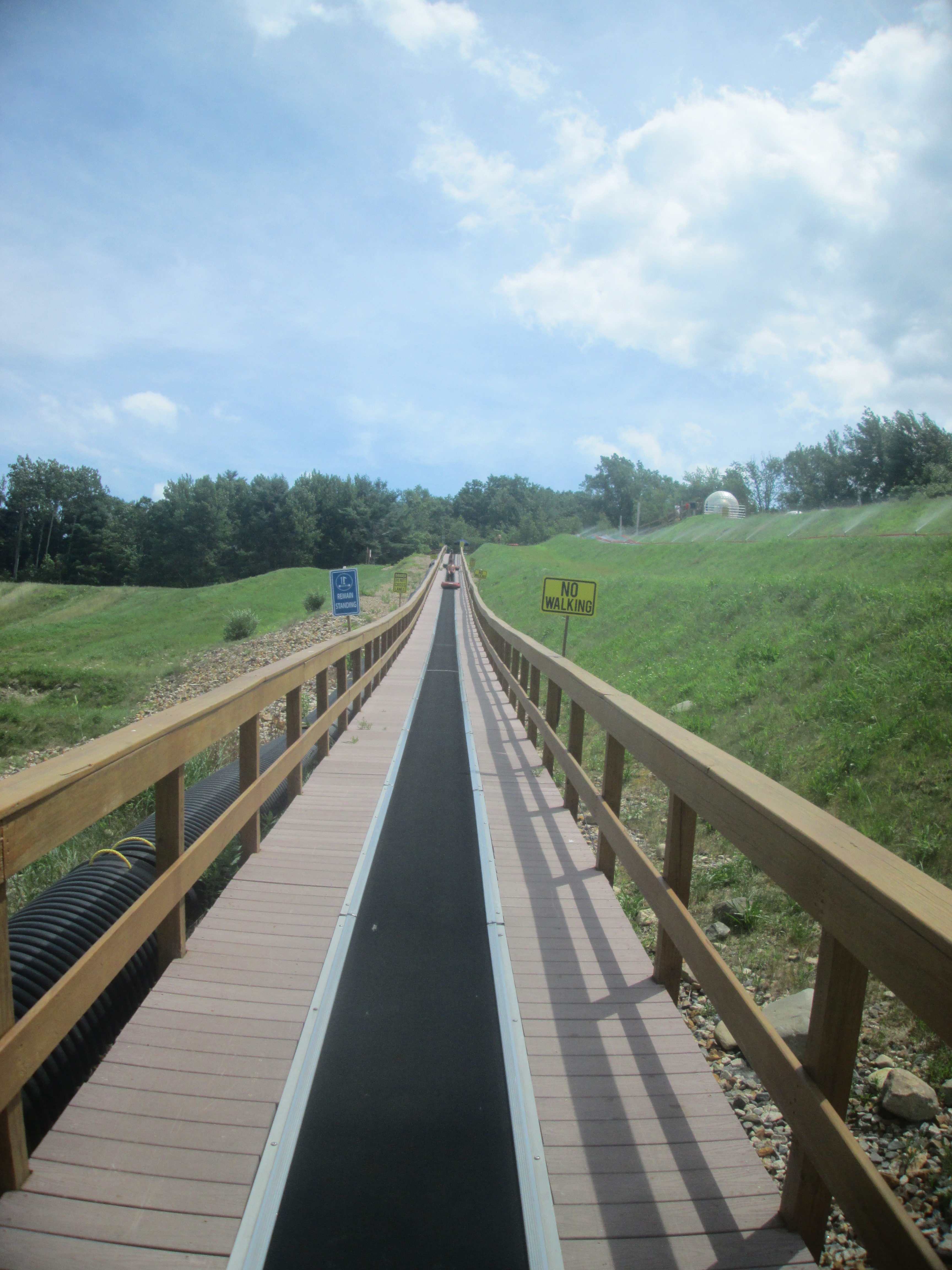
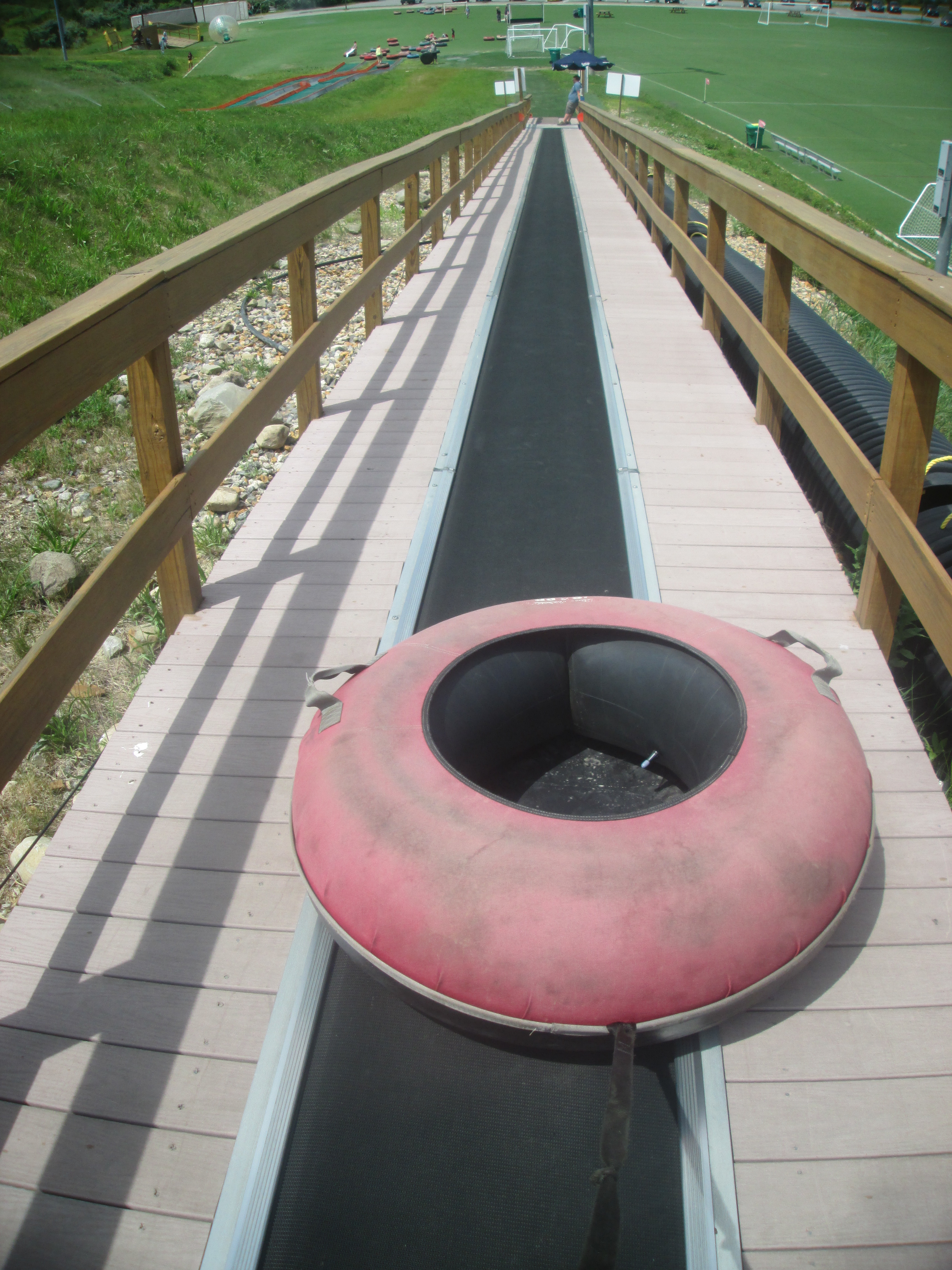
After heading back to the bar and finding out my pizza still had yet to come, it was time for my zorb ball ride. While heading up the hill to get to the zorb ball place,
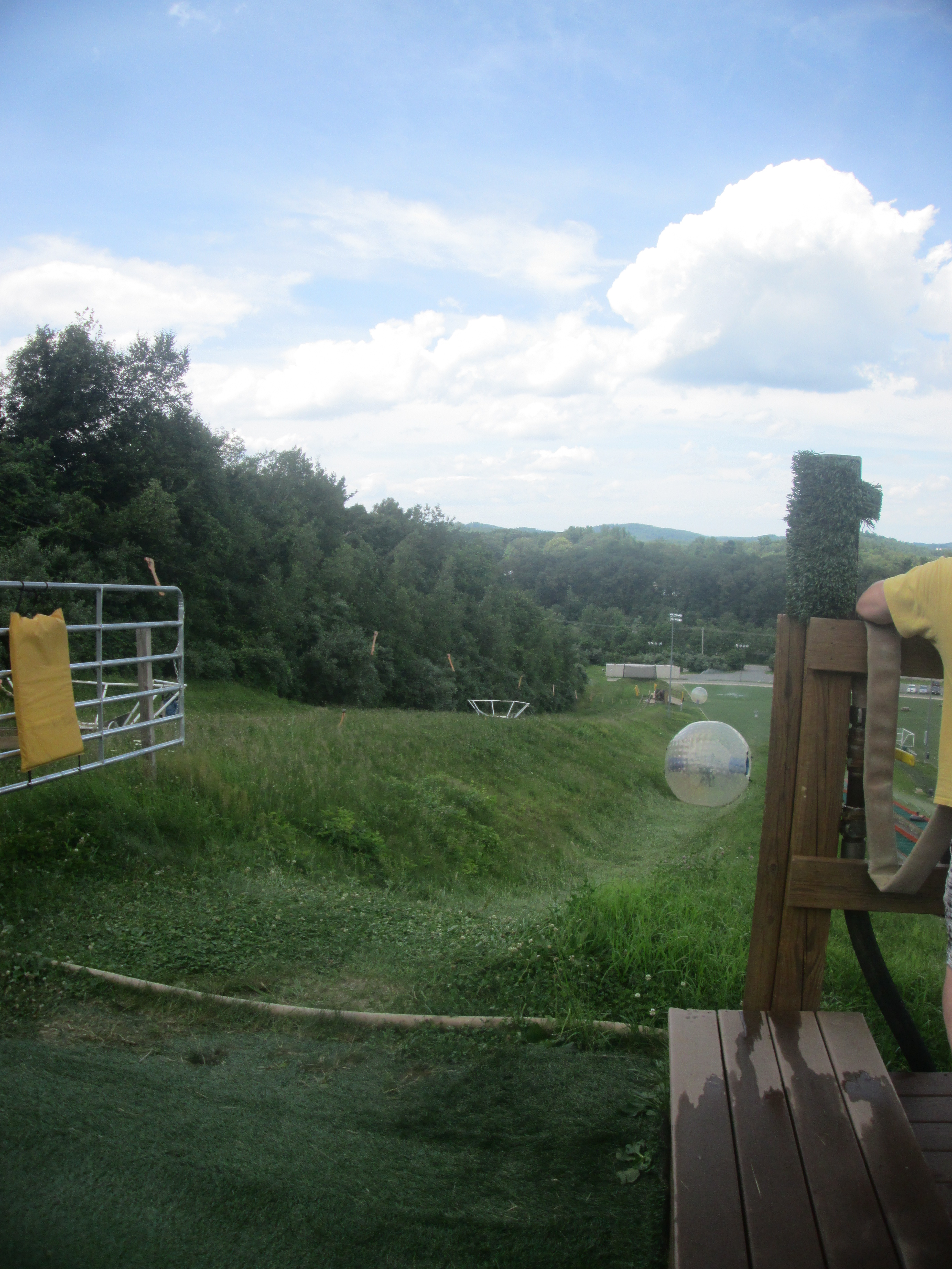
I took a few pictures of zorb balls rolling downhill, with people in them of course.
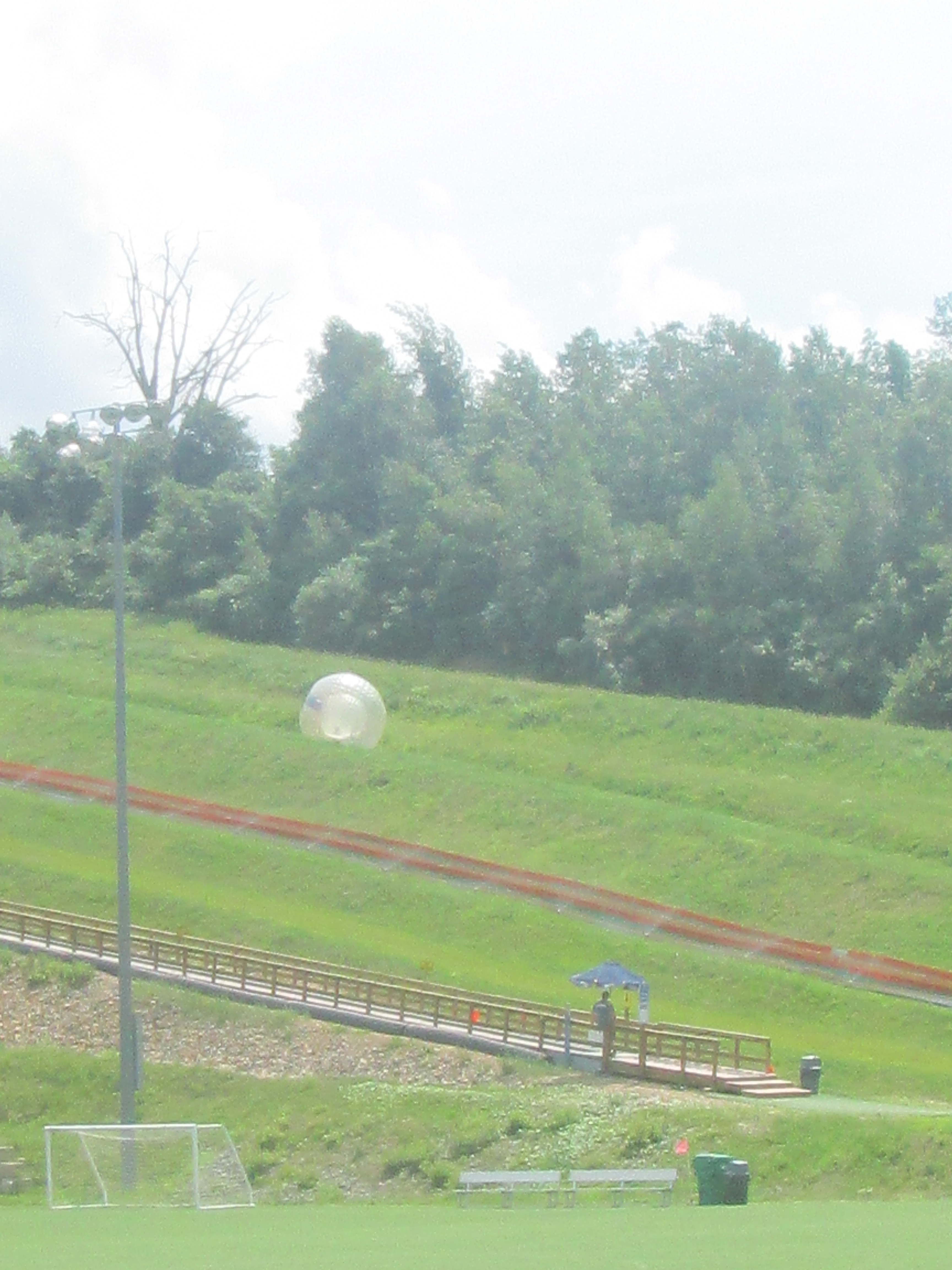
There are two ways to ride a zorb ball. Either you are strapped onto the side of the inner ball with a harness, or the inner ball is filled with water, and you go downhill getting soaked. Apparently there is a height requirement to do the harnessed ride, which thankfully I met.
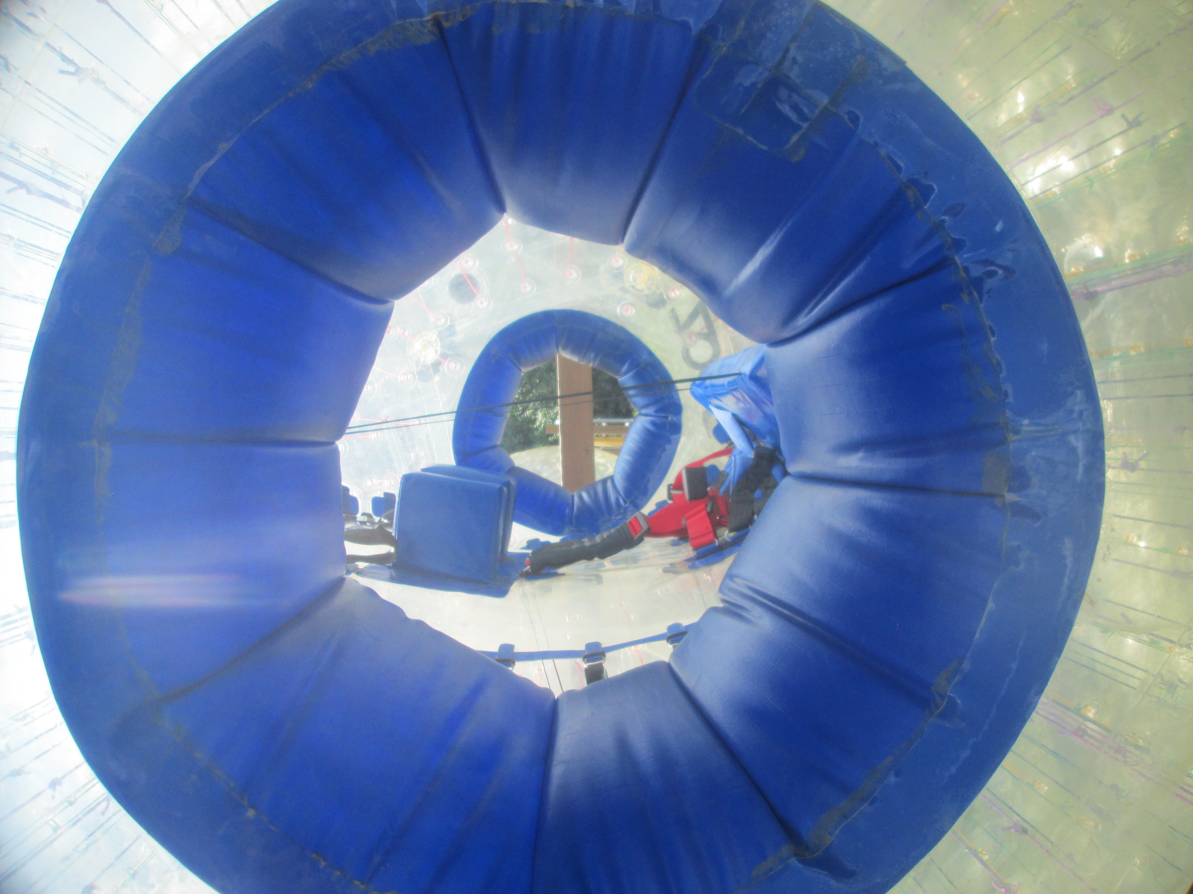
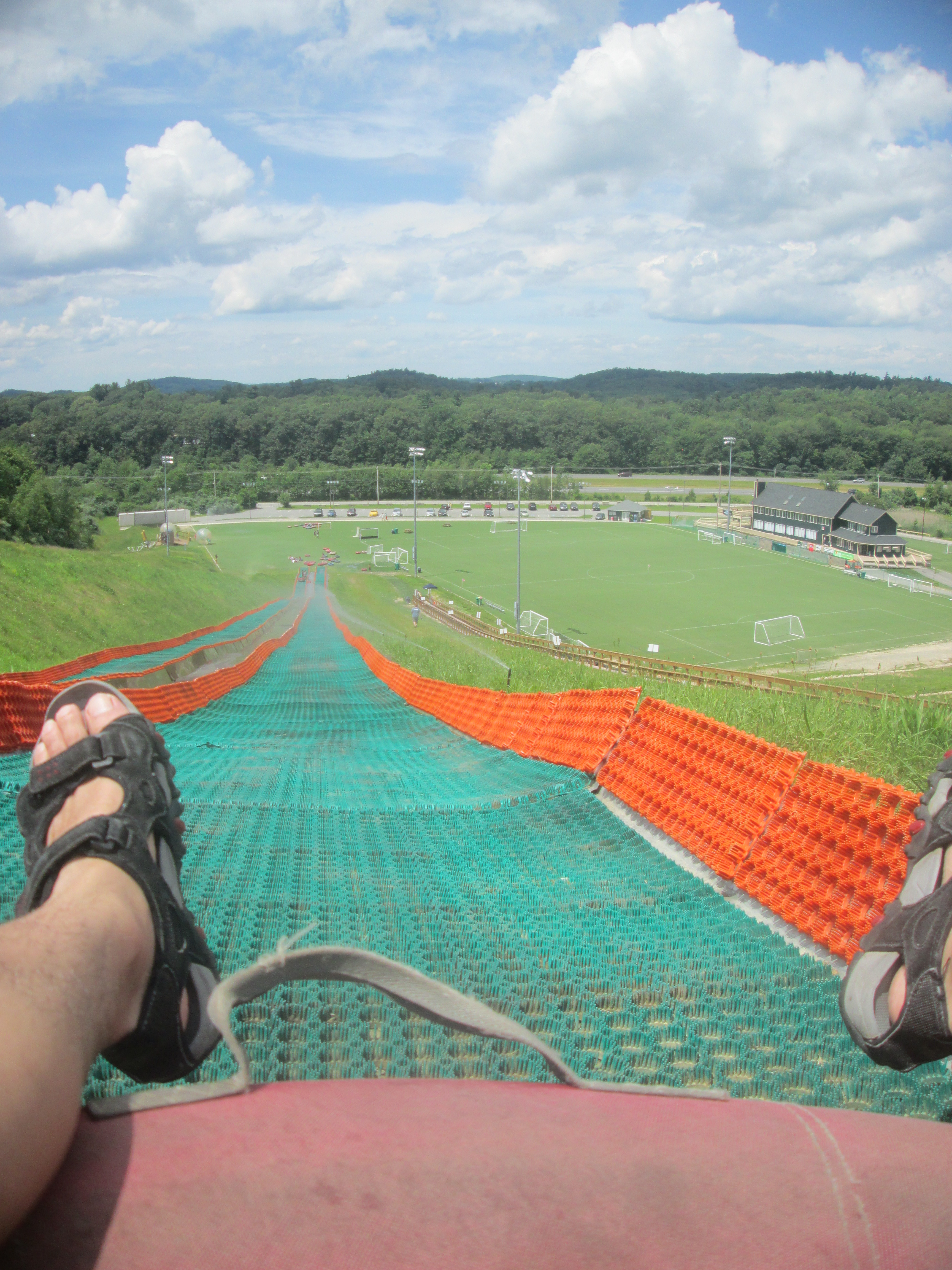
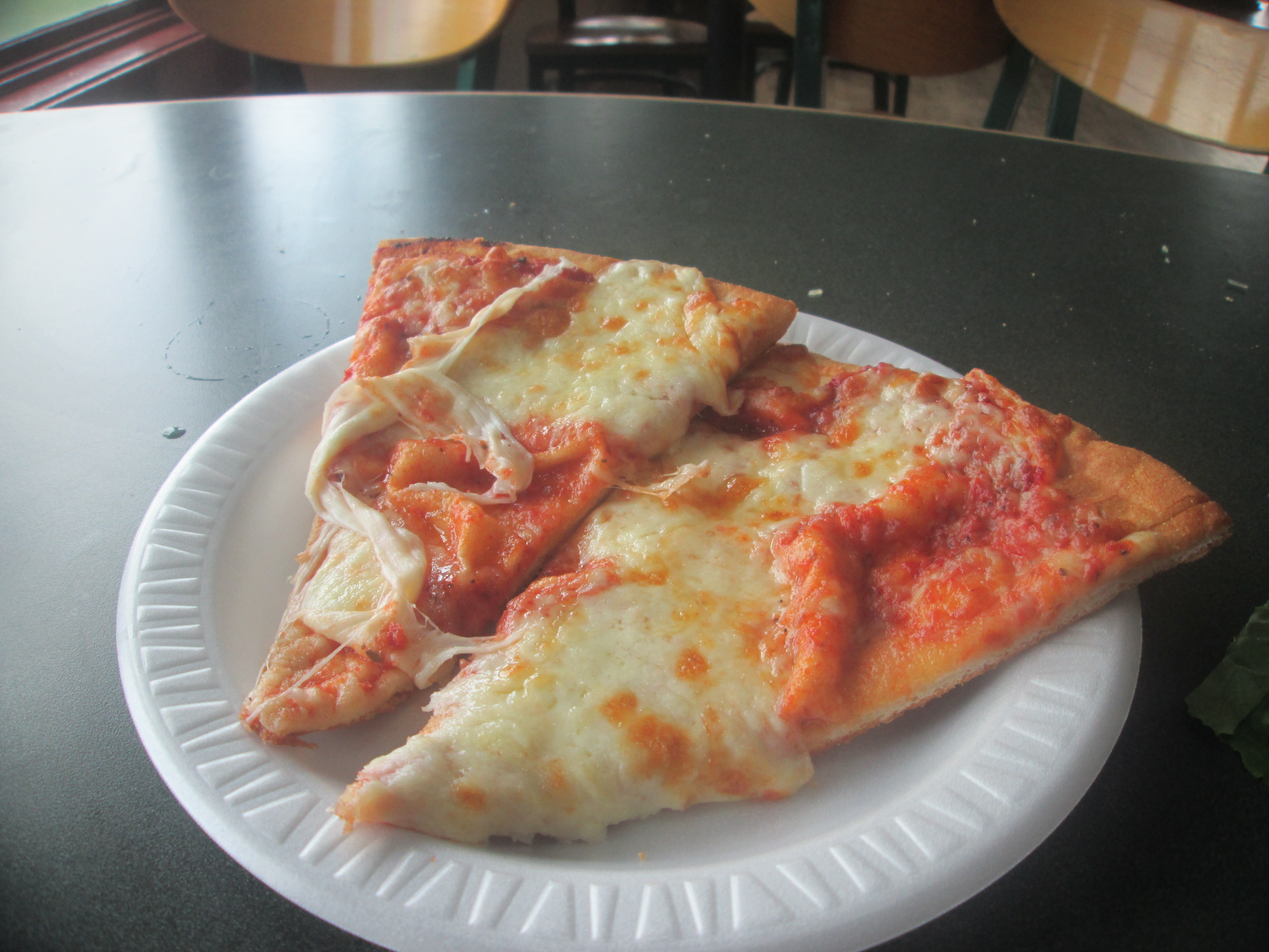
Finally it was my turn, and I had to jump into the hole to get inside. After strapping myself in tightly. It was time to go, and I was pushed off to start my roll downhill. The initial experience was pretty fun, with my view alternating between the ground and the sky, going at an ever faster rate as I headed downhill. The bad part was when it finally reached the bottom and slowed down, rocking about a little and making me feel a little nauseous. My 2 slices of cheese pizza (I was given another one for having to wait), though just normal, did help to overcome the nausea though.
Overall, it was a pretty fun experience, and I definitely want to come back to try the wet version of the zorb ride. Apparently people try to stand up and run while rolling downhill like a hamster wheel, but it is extremely difficult to do.
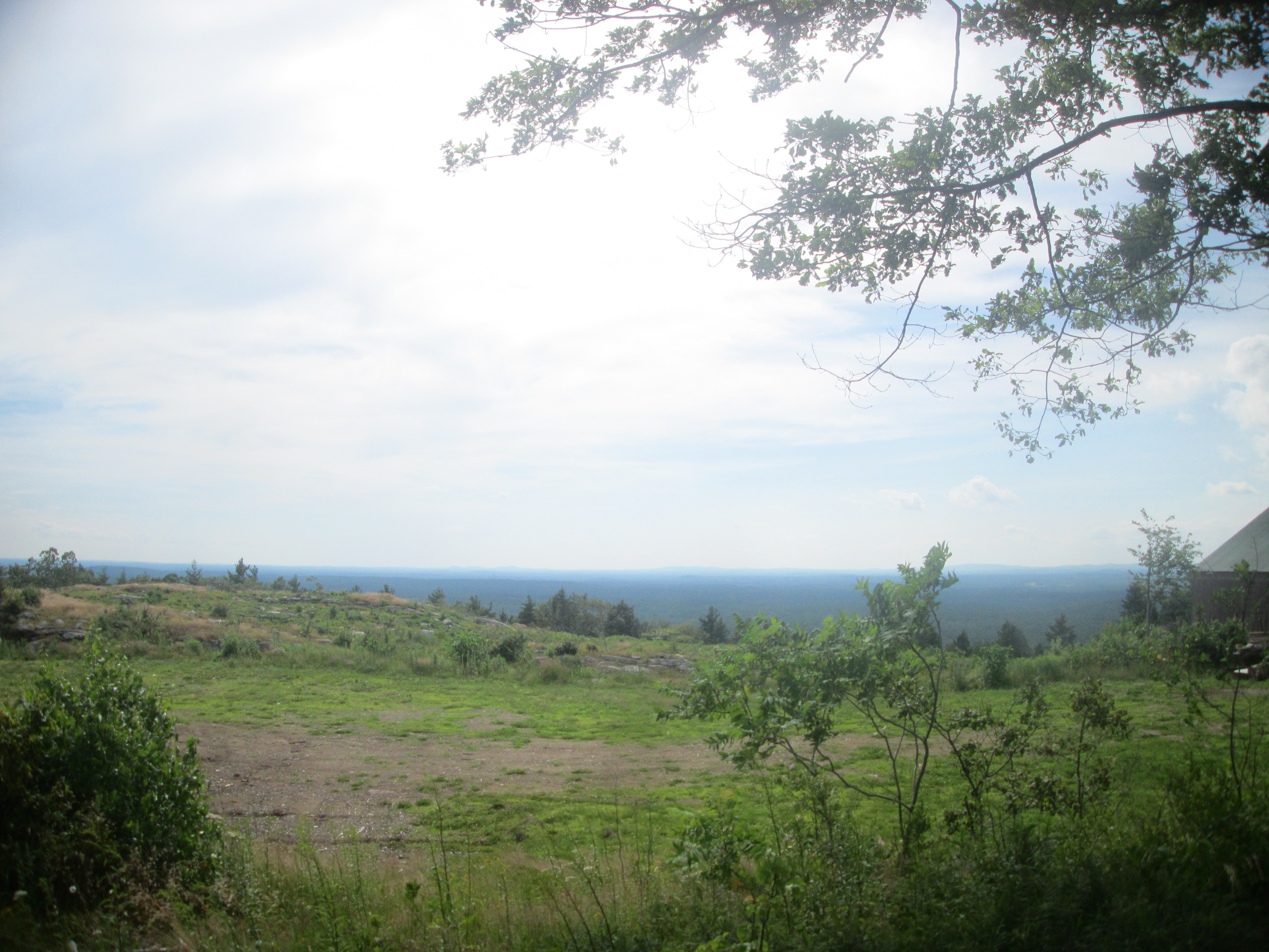
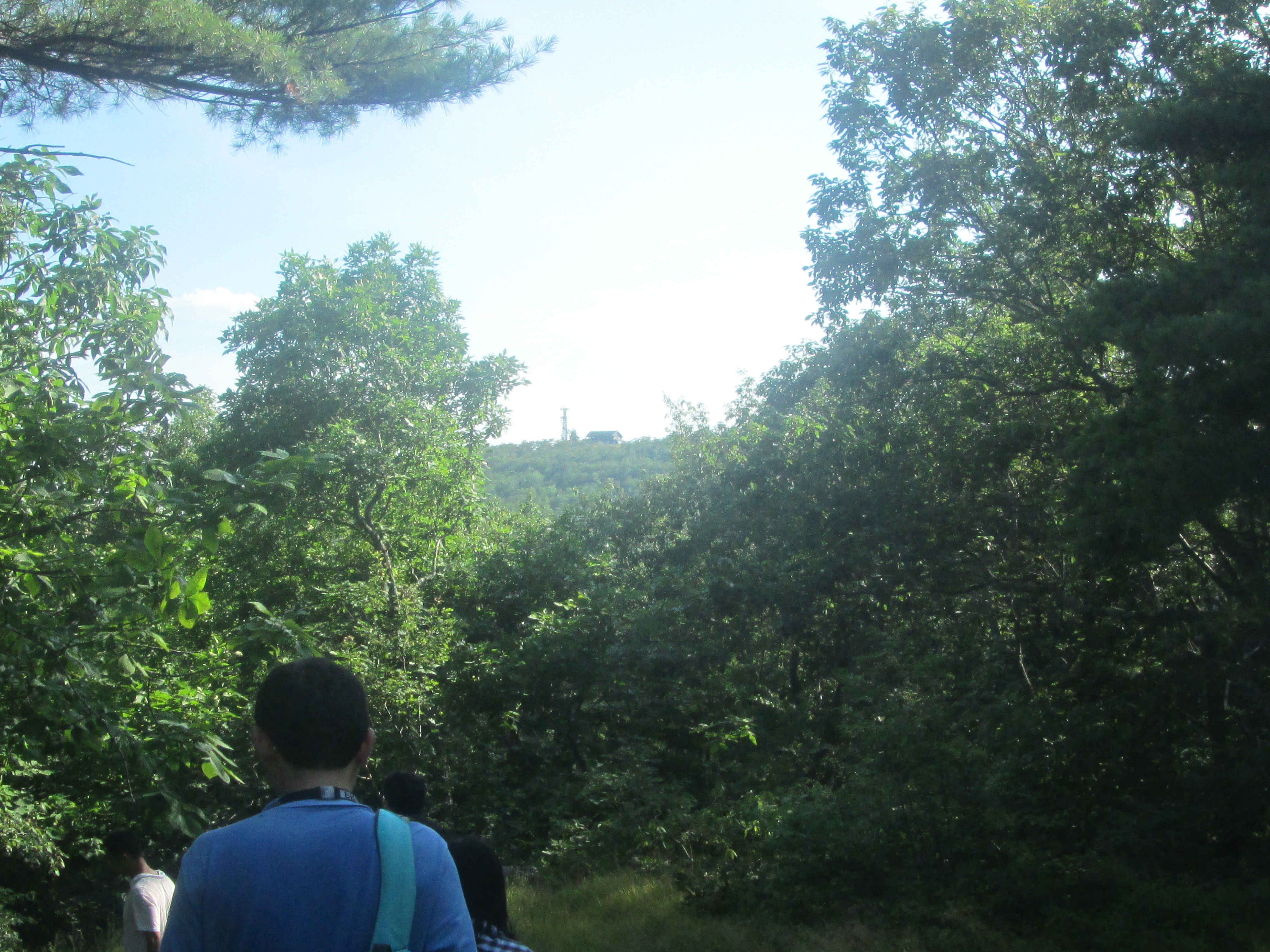
From here, it was finally time to head into Maine to go hiking with friends. After a day of hiking in Massachusetts, it was time for more at Mount Agamenticus in York, ME, passing by Chase's Pond in town along the way.
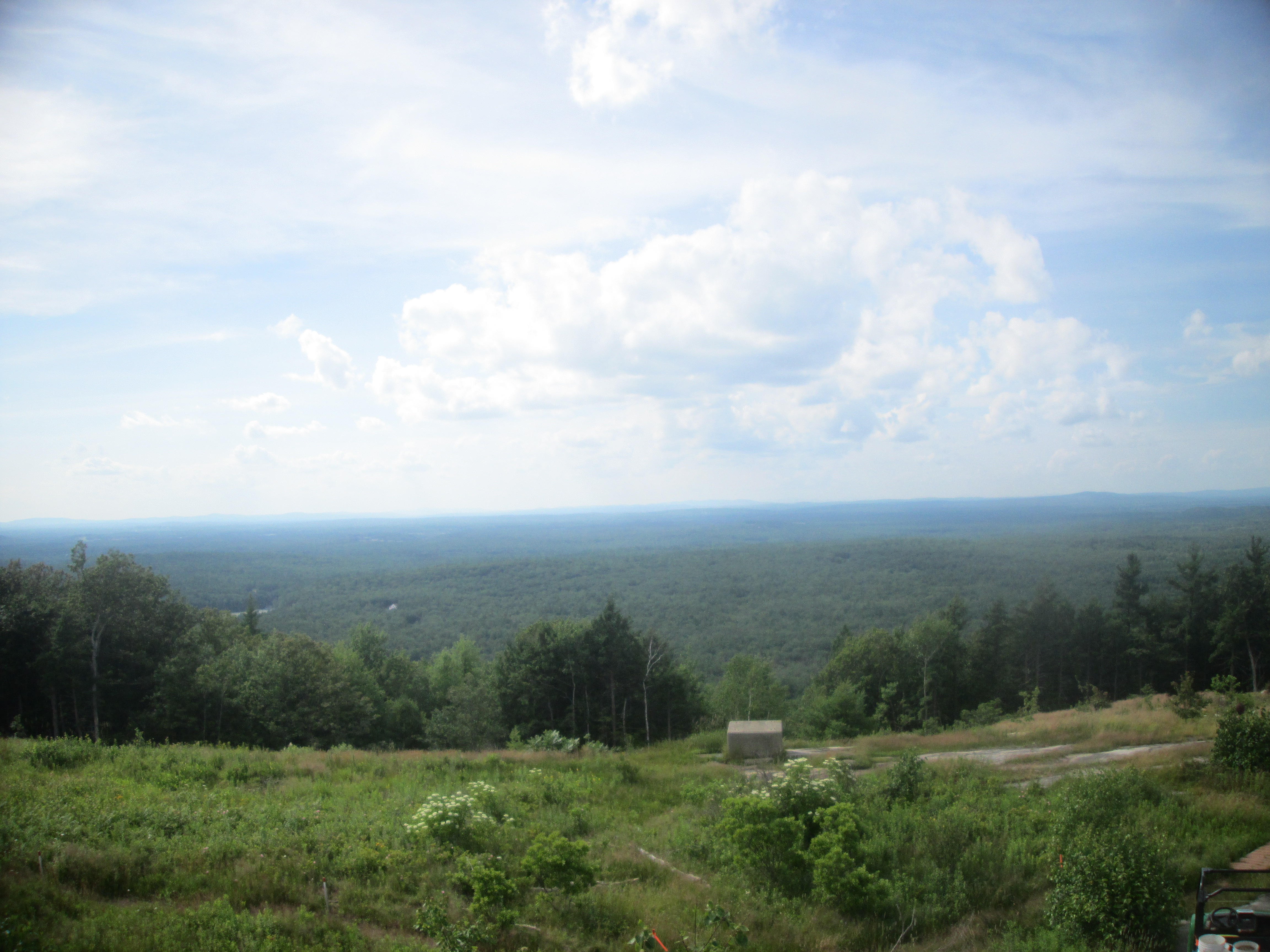
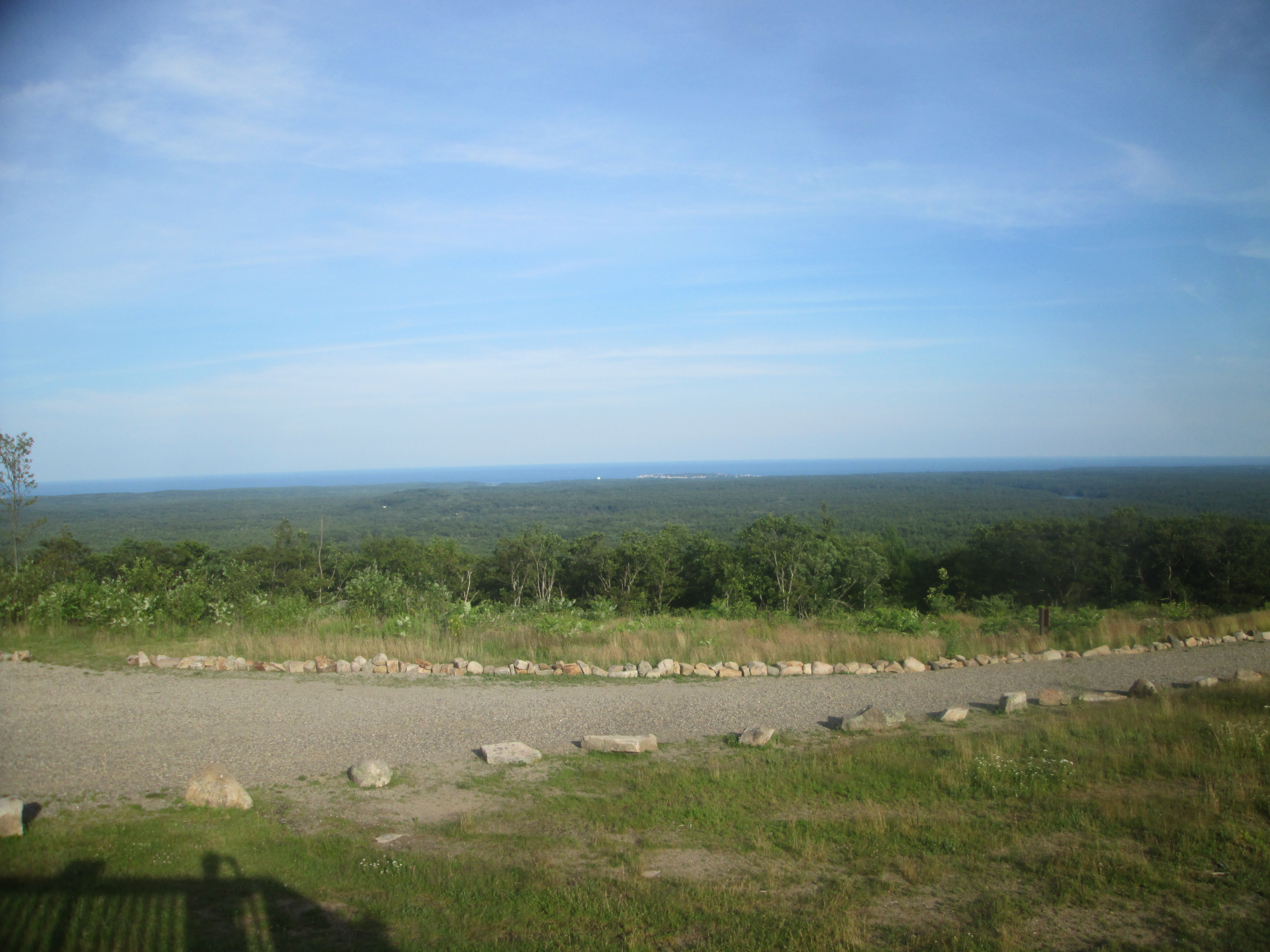
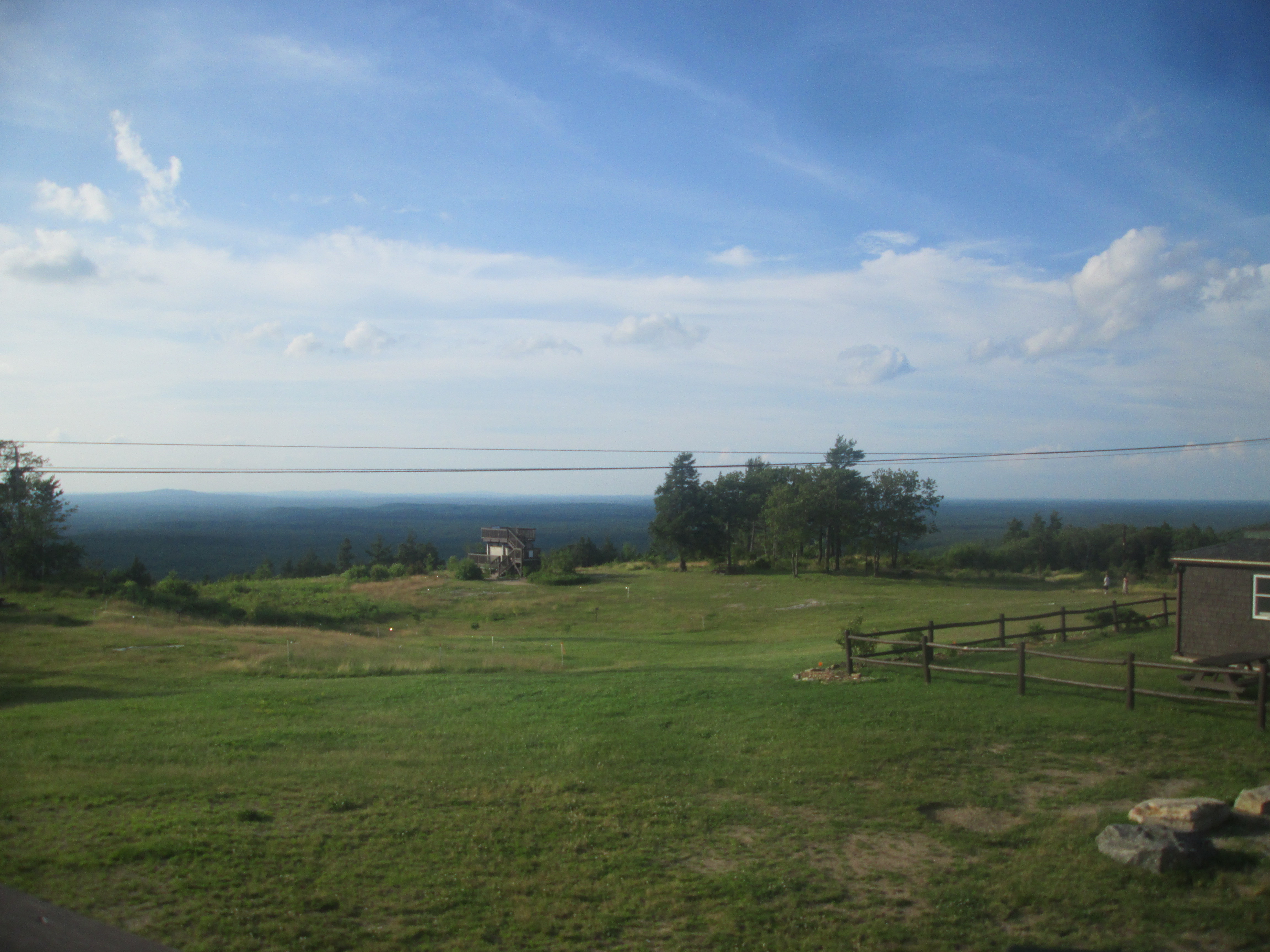
Unlike my other hikes, we started off at the top instead of at the bottom of the mountain, as that was where we were able to park. The views from the top were excellent though.
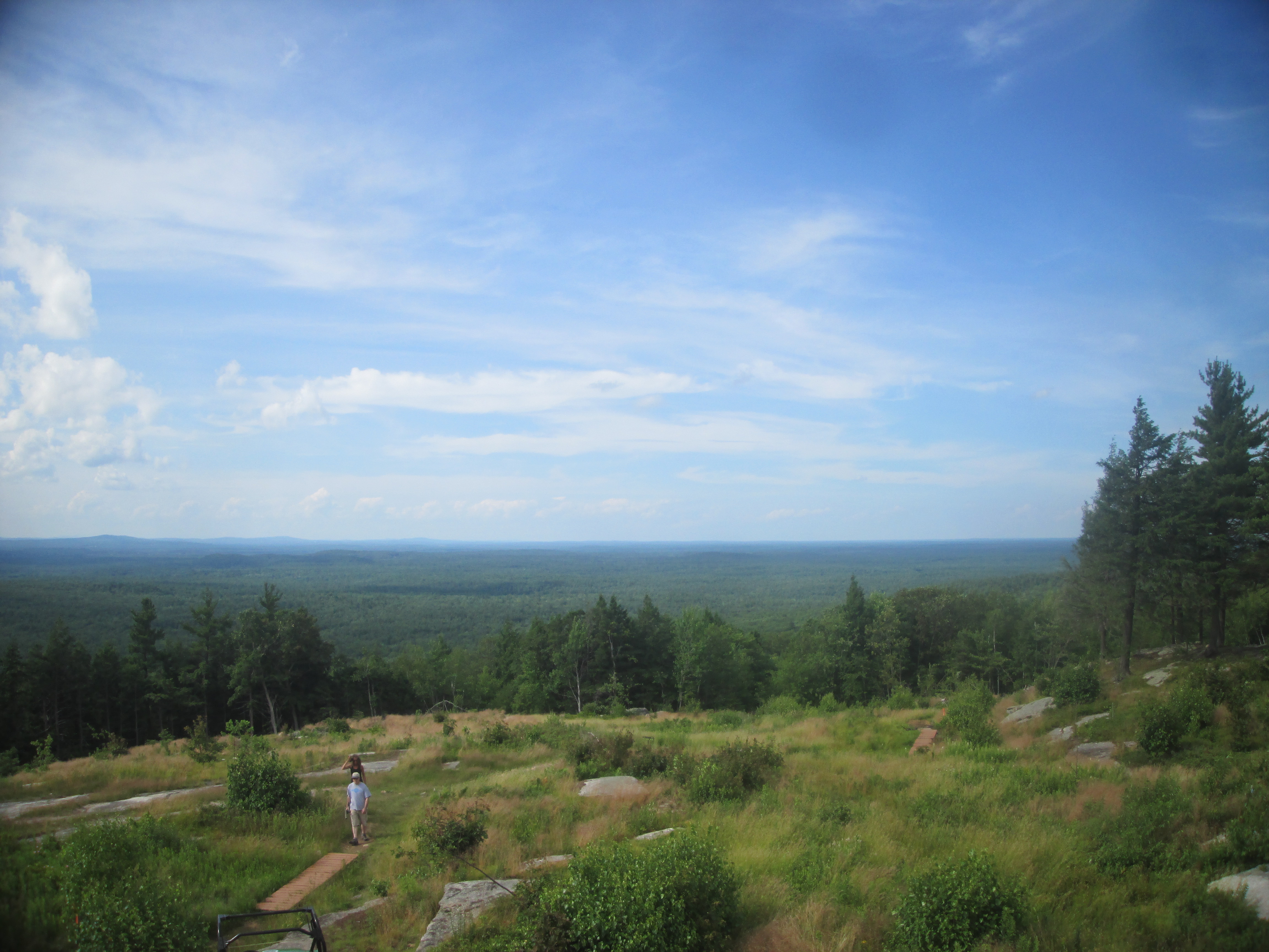
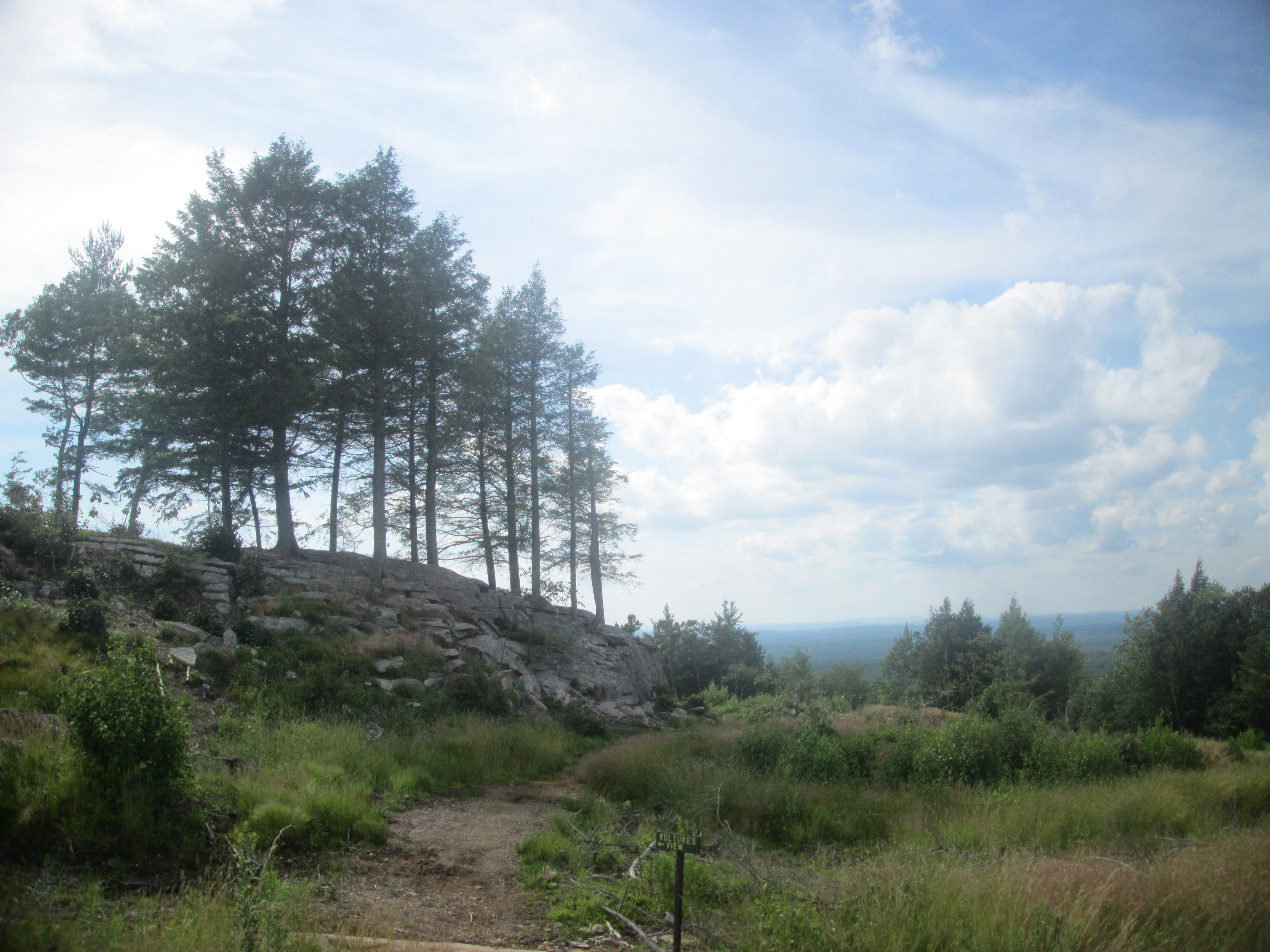
When everyone finally arrived, it was time to set off. The path we took today walking through the woods is shown below in pink.

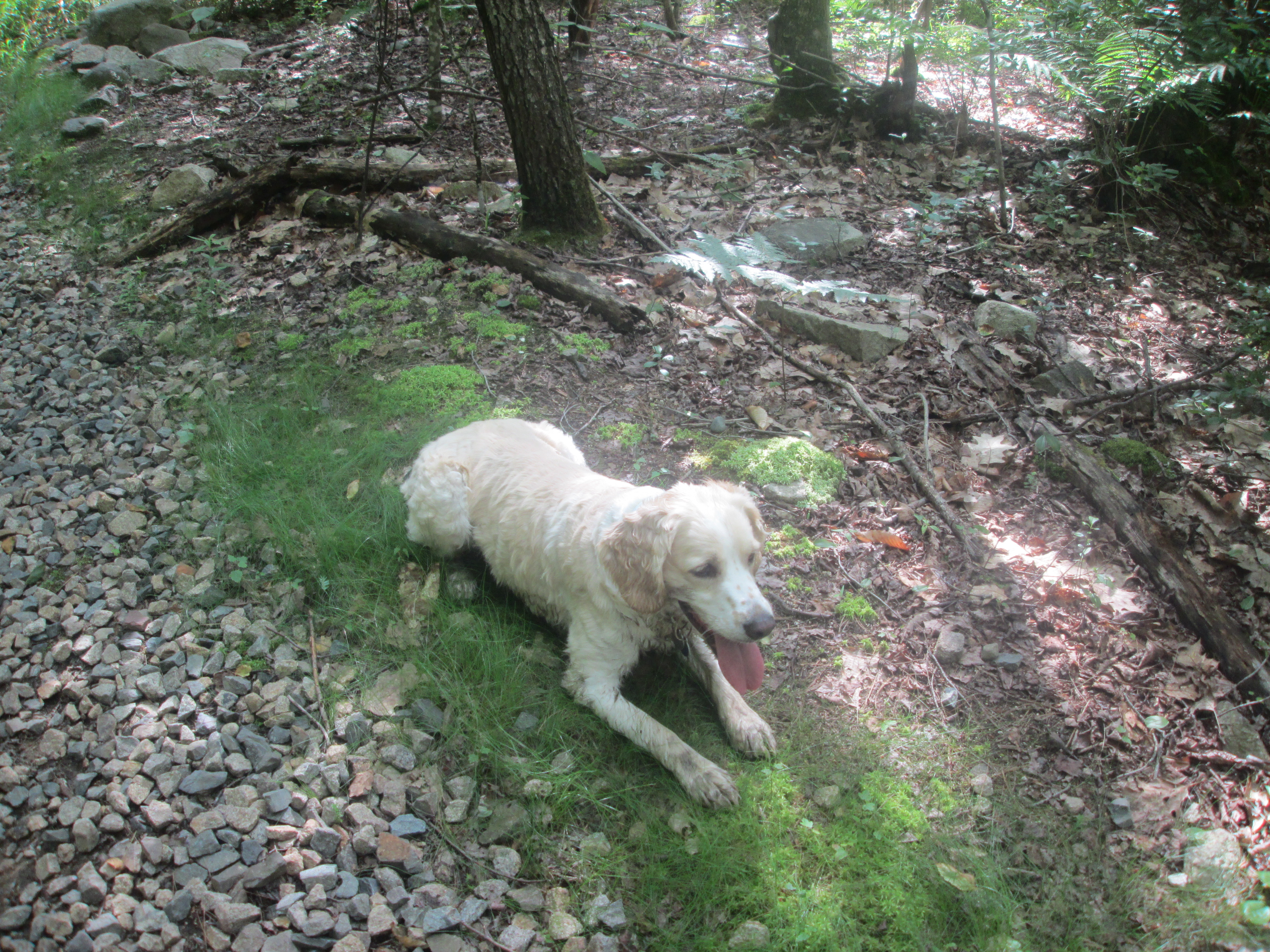
We headed down Witch Hazel path to get to the major intersection, going to the Goosefoot Trail to start off the Bear Loop. Next, we turned onto the Cedar Trail, following it until it intersects with the Porcupine Trail, whereupon we turned right onto it. One of my friends had brought her dog along, and it made the hike all the more fun, with the dog constantly running around, laying down tired, or heading into any puddle of water it saw to drink and cool down.
From here, we headed back to the Porcupine Trail and resumed our hike of the Bear Loop, going into the Chestnut Oak Trail to get back to the initial intersection. This time, we chose to go back up to the top using the Sweet Fern Trail, which was pretty steep, but we still managed to make it back in good time.
Finally done with our hike, a bunch of us decided to head into the York Beach area for dinner.
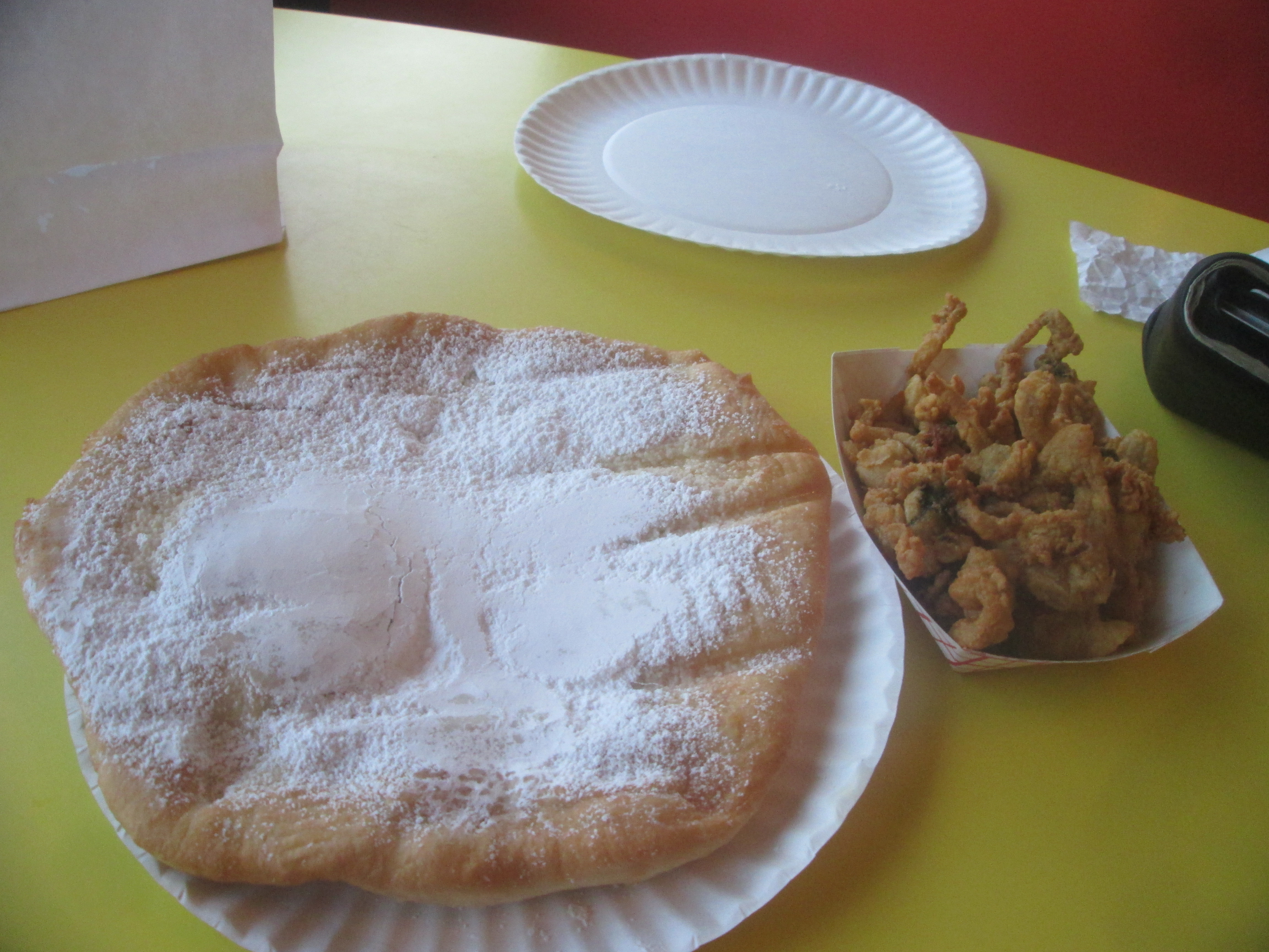
After finding parking, we had a hard time finding places to eat for a large group of people, so some of us decided to just go to the beach first, while a few of us headed to a small seafood takeout place called the Surfside Restaurant at County Street near Beach Street, located right next to the beach, where the fried dough and Clam Bellies I got were pretty good, although the fried dough was a little too big for me to finish.
After my quick dinner, I decided to head to the small but scenic beach to find everyone else.
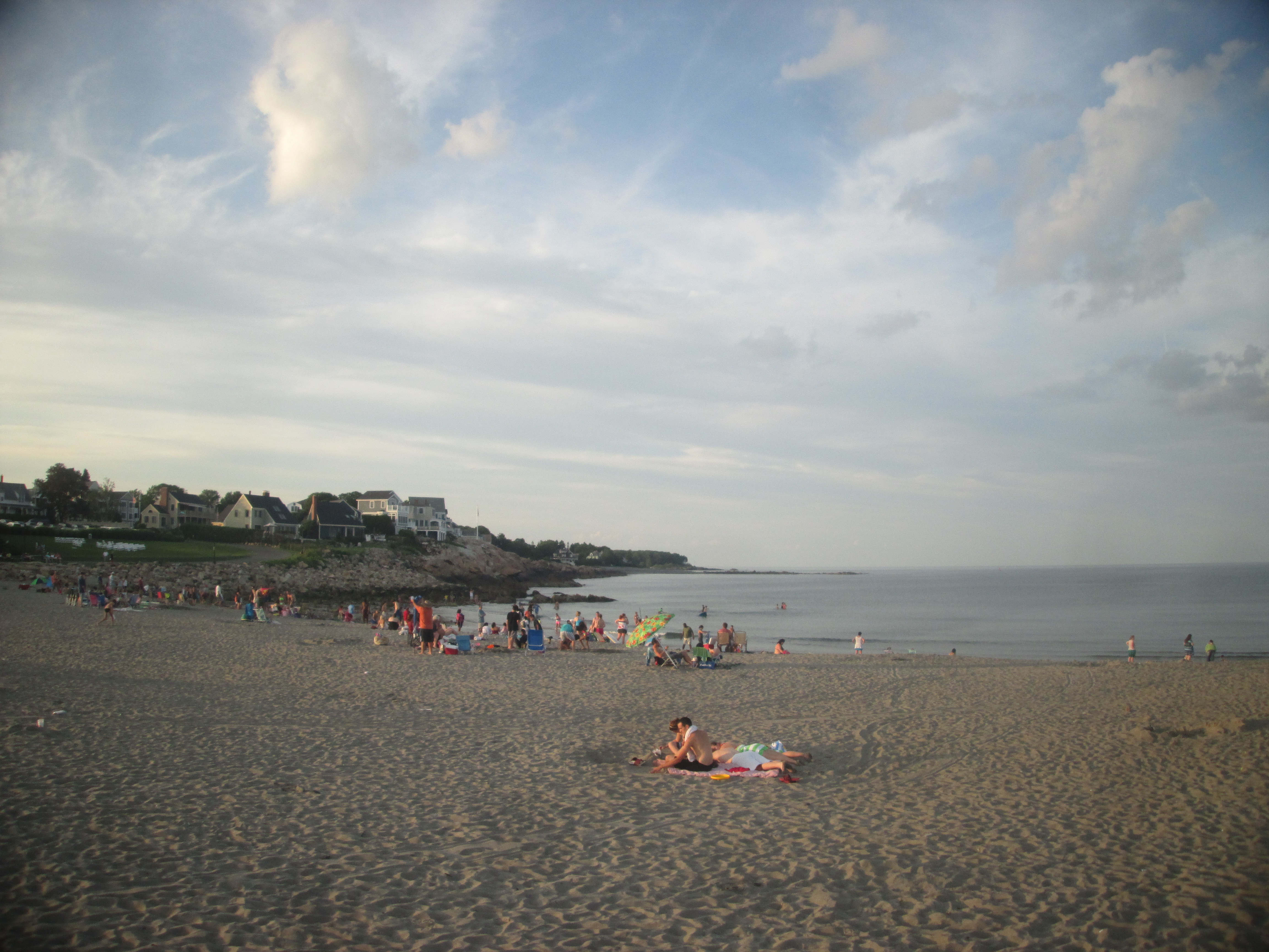
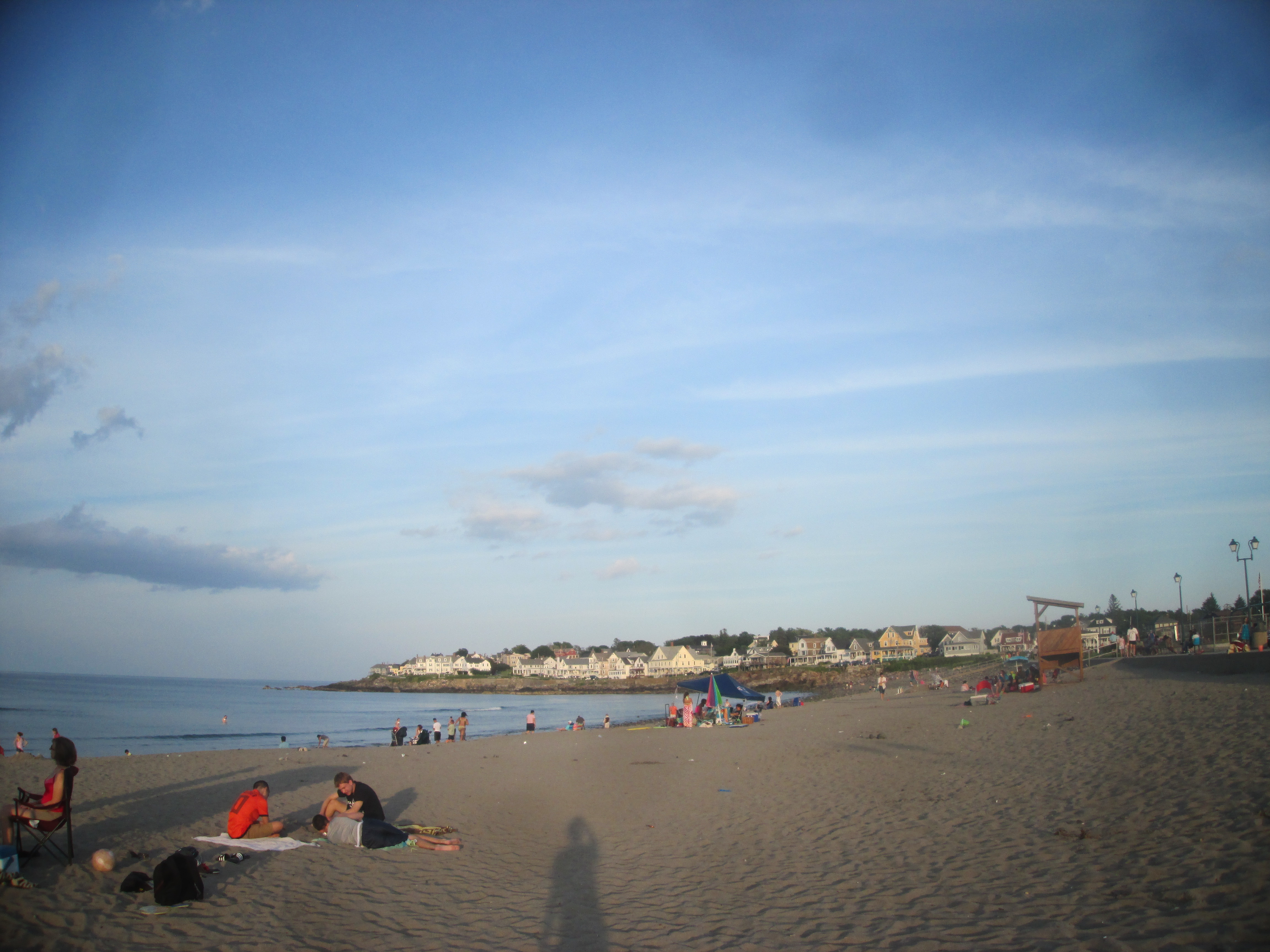
After chatting for a bit longer, with people getting lobster to eat, it was finally time to head home. I had a great time meeting friends, and glad for such an opportunity to get out to Maine for a day.
No comments:
Post a Comment