Another Saturday, another long post coming up. I decided to start on the 4th Circle today, beginning with the town of Southbridge.
The first place I visited was the town center, which had several interesting buildings.
There were other interesting architectural buildings and places I visited in town, including a giant pair of sunglasses on the town common in front of the Southbridge Conference Center, the former home of the historical
.

My original intention was to follow the blue trail all the way to its intersection with the Morse Pond Trail, but somehow at the junction between the blue trail and the yellow trail, I missed the turning completely, continuing up a way which seemed like a path, being a dried up stream with pebbles lining the sides, hence looking like a feasible trail. By the time I realized I was lost, I had gone too far, and even when I backtracked, I got even more hopelessly lost. After about an hour of walking on trails aimlessly, I finally emerged near the intersection of the yellow, blue and Morse Pond trails, and I proceeded along the Morse Pond Trail. While on this trail, somwhere near Morse Pond, I heard a woodpecker at work. I spotted it, but somehow could not take a good picture of it, and every time I got remotely close, it would fly away. I finally gave up on it, but in the same spot, I found a few pieces of spinal bones. I seriously hope they were not human, or I might get the police knocking on my door soon... or the parties who put them there...
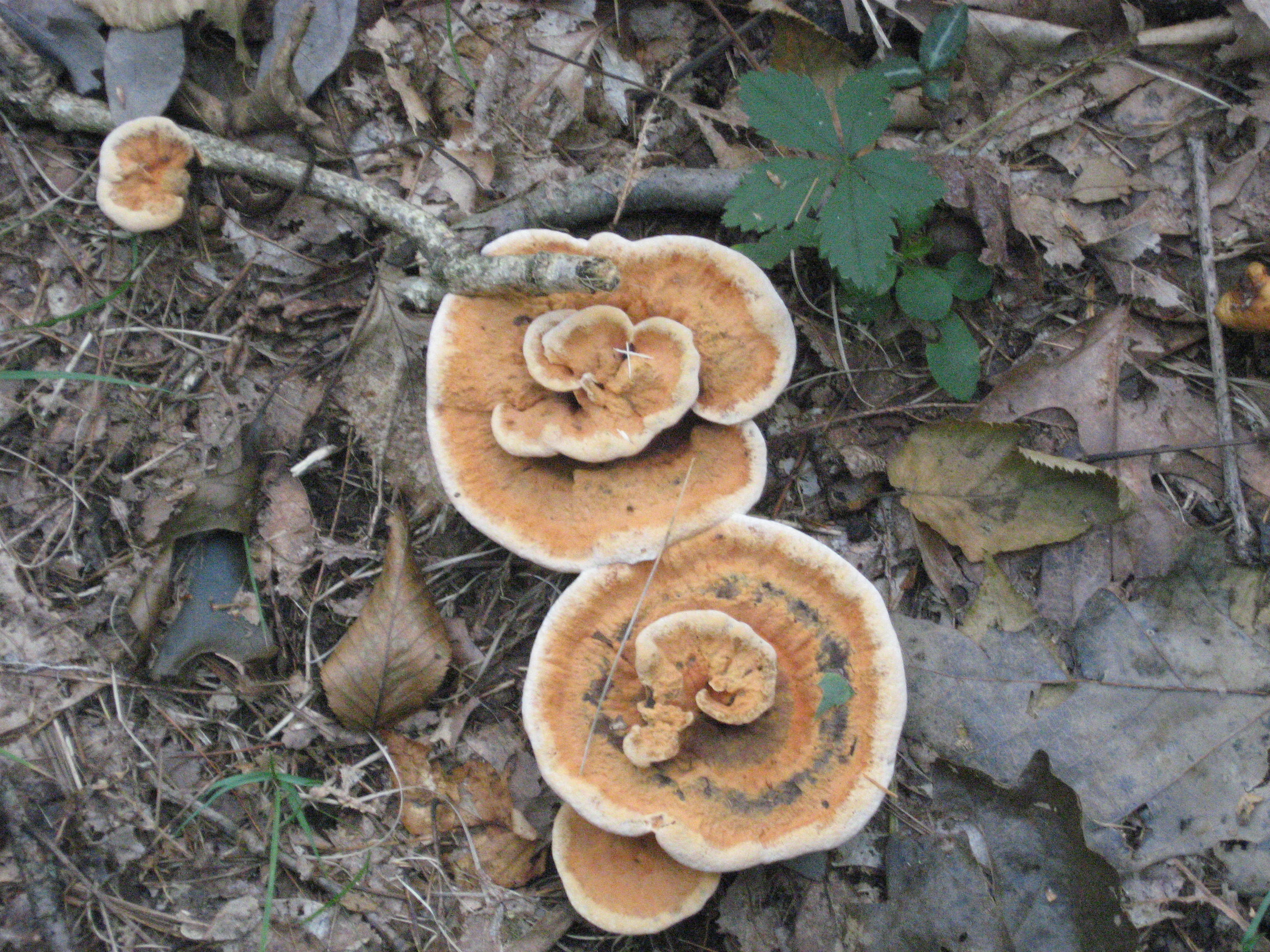
Other things I saw included some interesting growths of fungi,
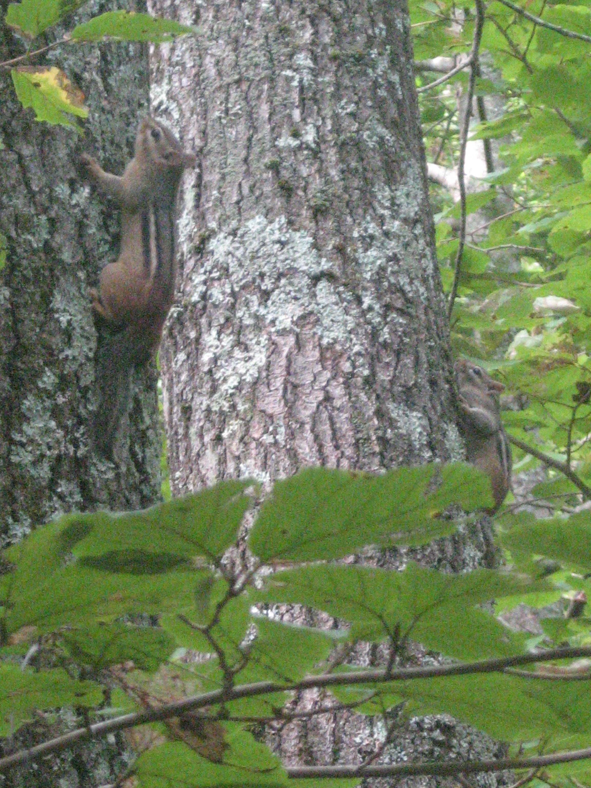
chipmunks that stayed perfectly still like statues out of fear on tree trunks while I took their pictures,
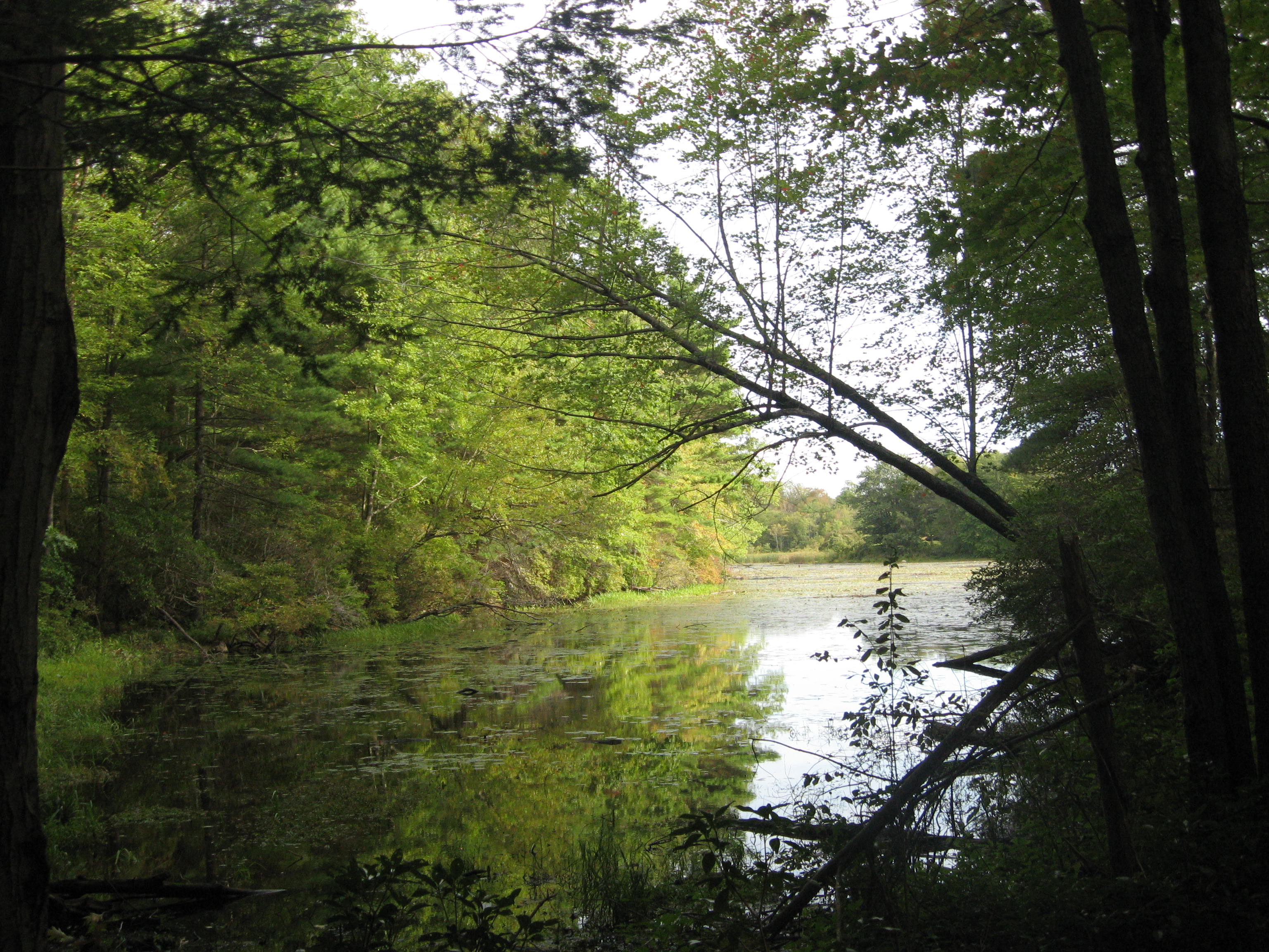
and views of Morse Pond.
Once I turned away for a second, the chipmunks were gone for good. So that's how they survive.
The next place I tried to hike was the
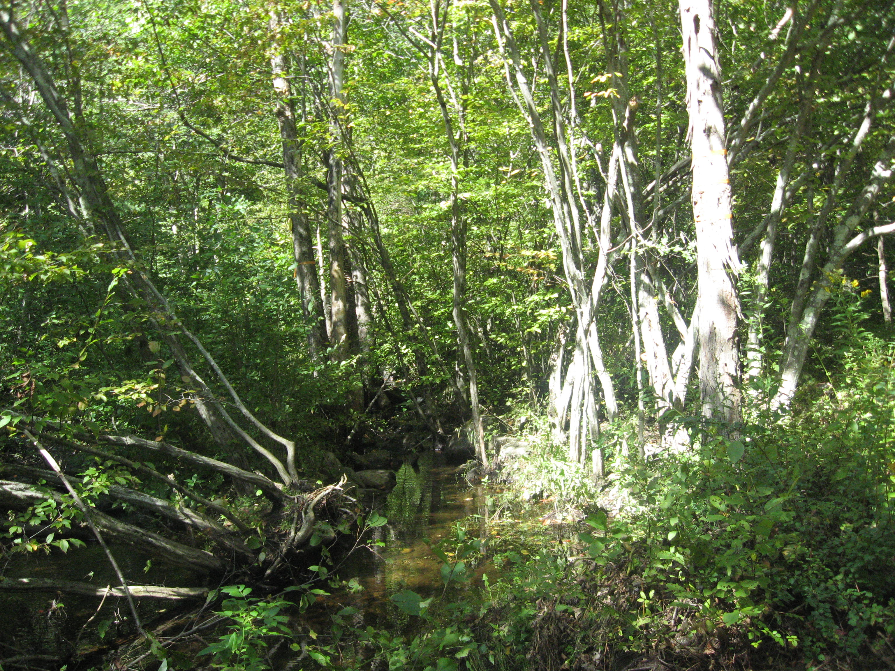
McKinstry Brook Trail. I parked along Plimpton Street close to the entrance to the trail, and crossed the brook on a bridge with only one set of railings to get onto the main trail.
The route I took is highlighted below in brown.
While crossing the brook a second time near the beginning, I almost stepped on a frog relaxing on the rocks. Thankfully, it was still kind enough to let me take its picture.
Unfortunately I could not go very far as a fallen tree from Irene's fury had blocked the path totally, so I had to walk back to my car instead. By then, the frog was gone.
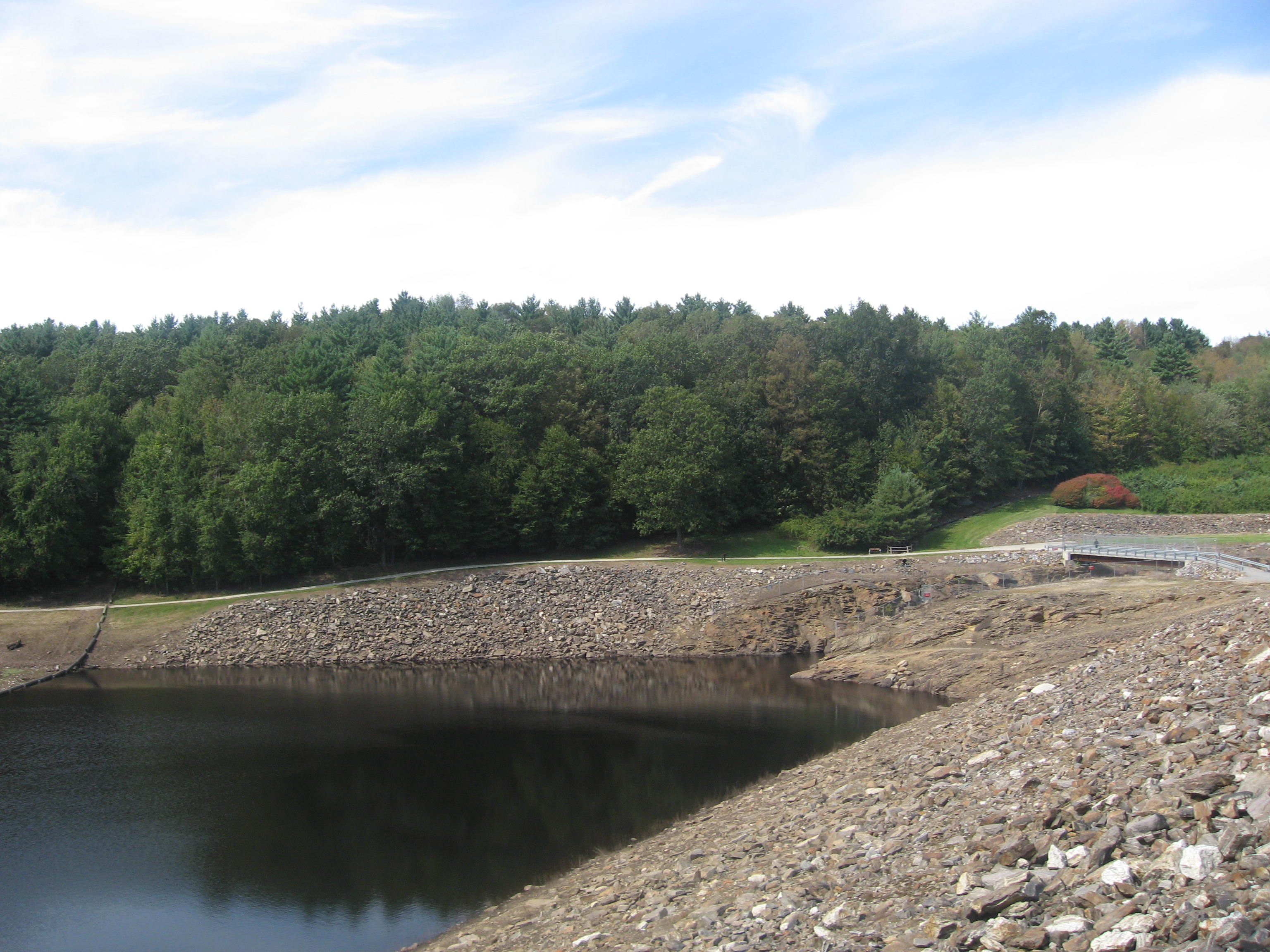
The next place I went to was the
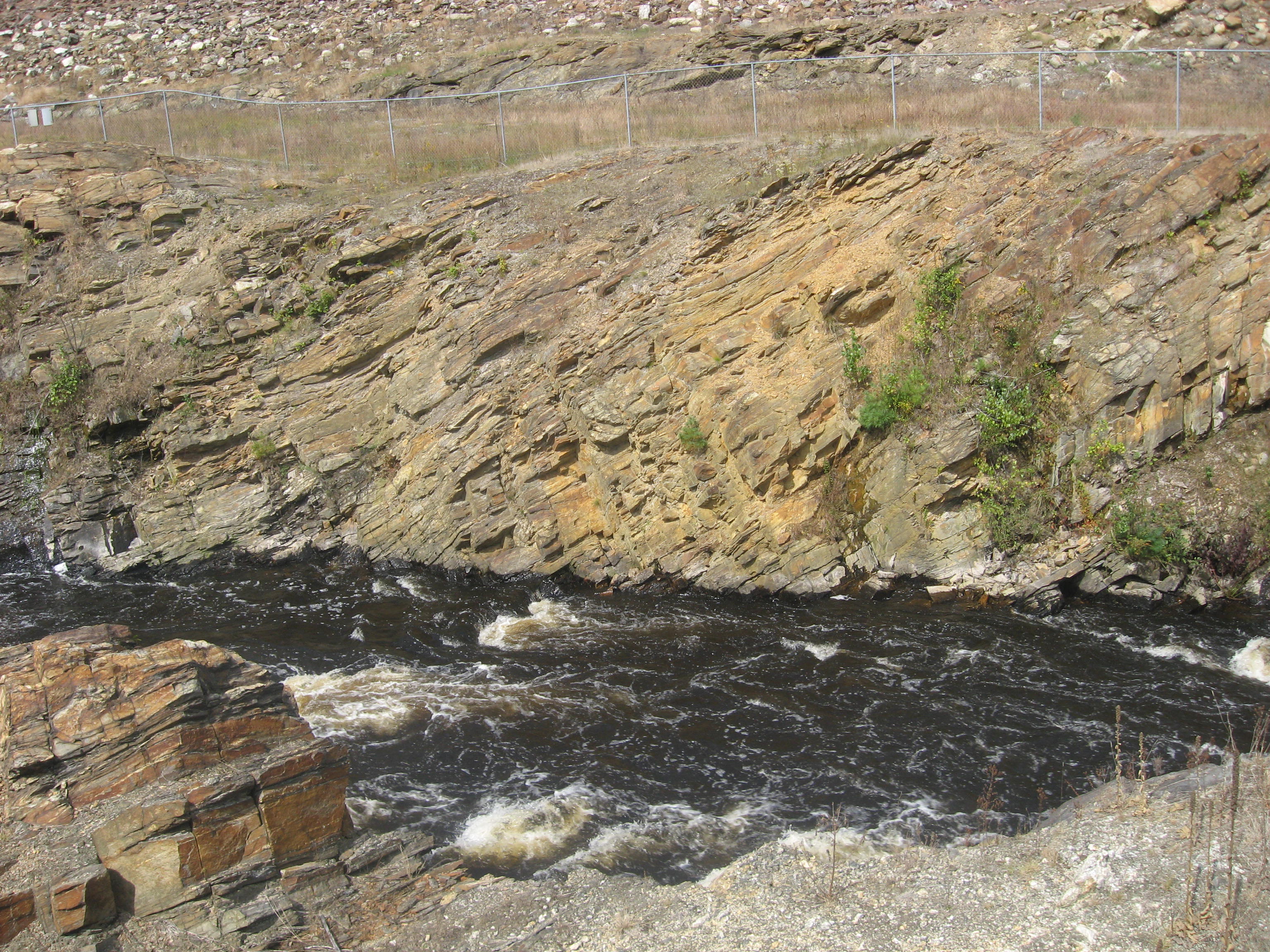
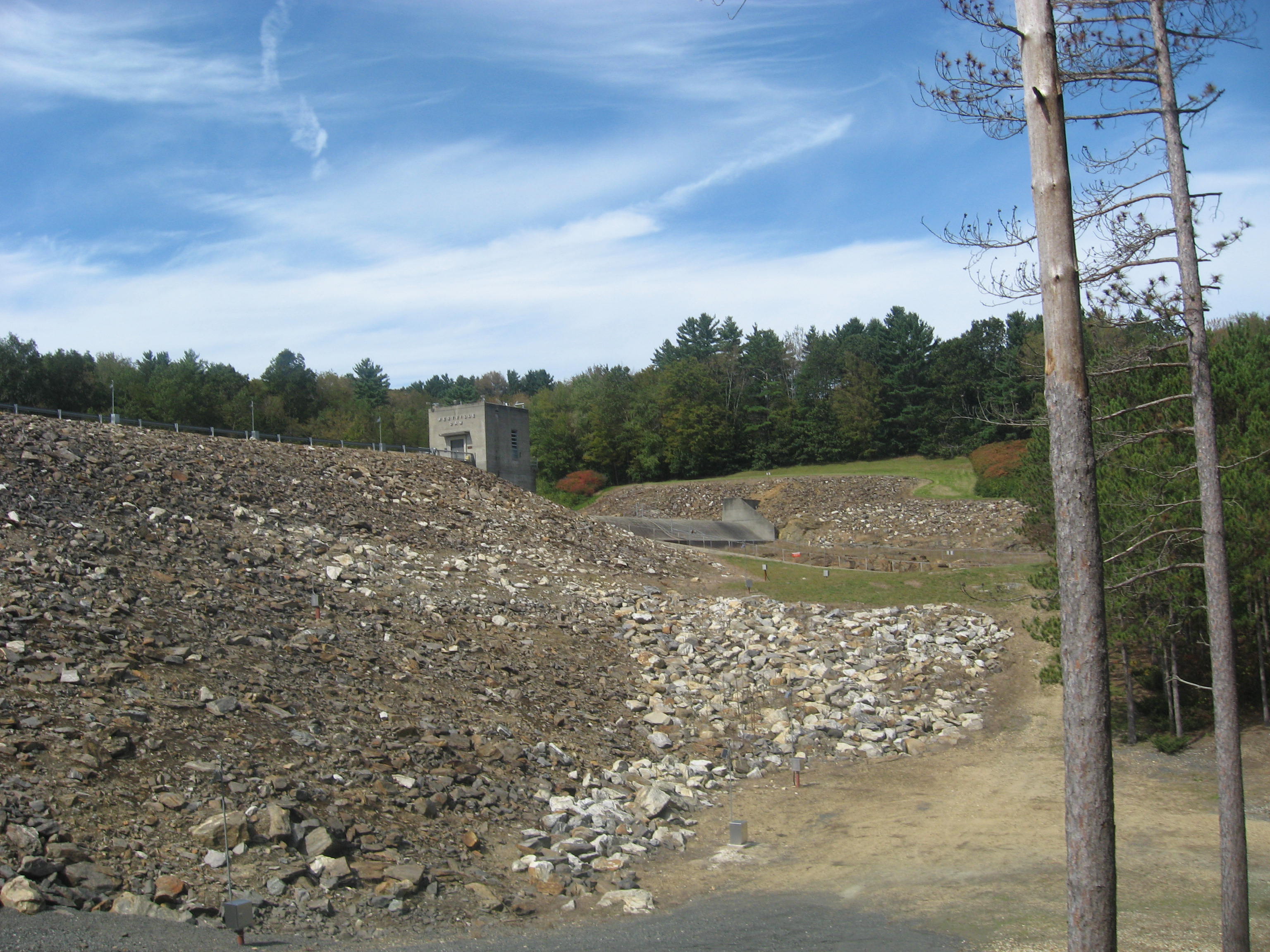
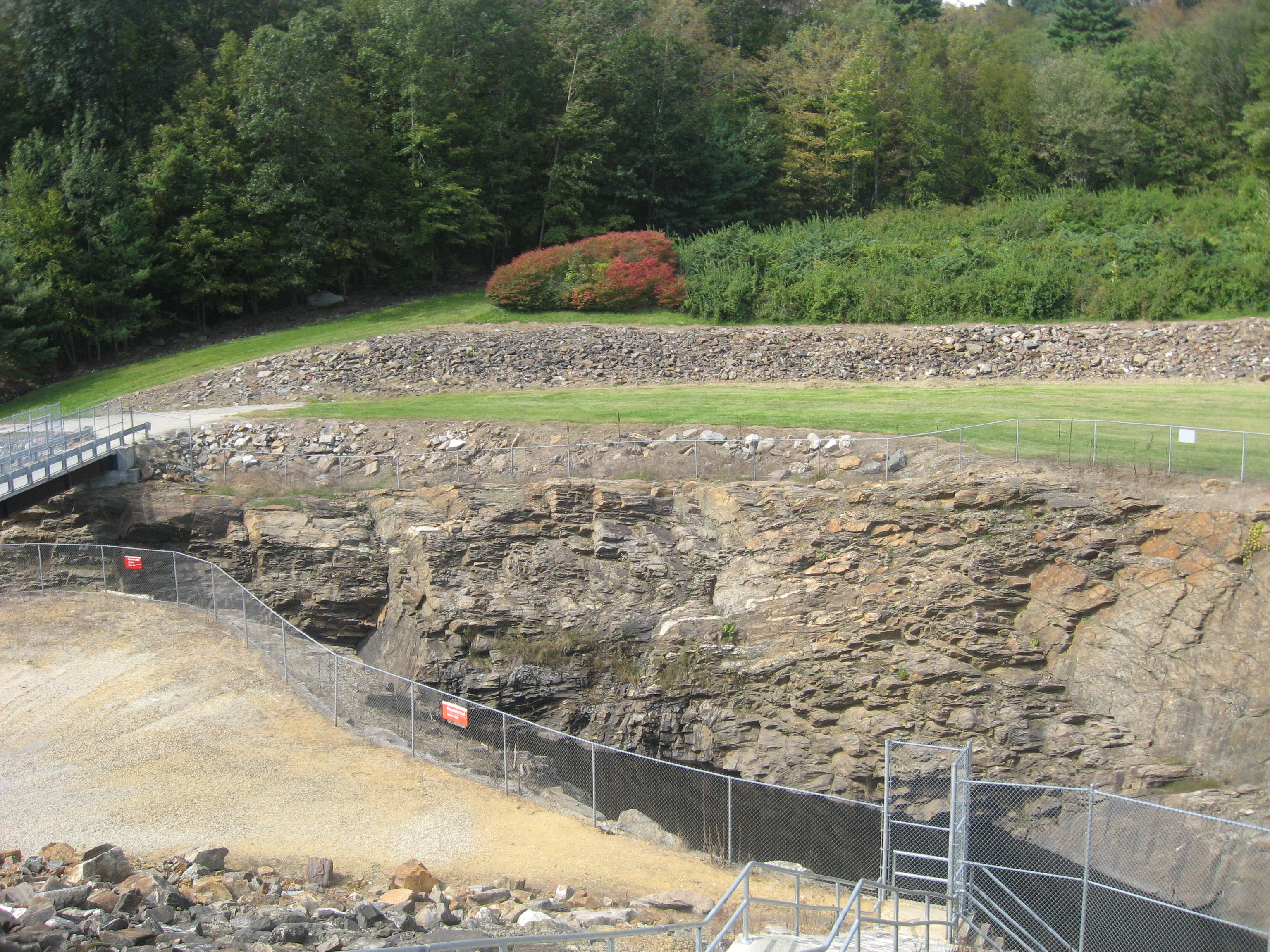
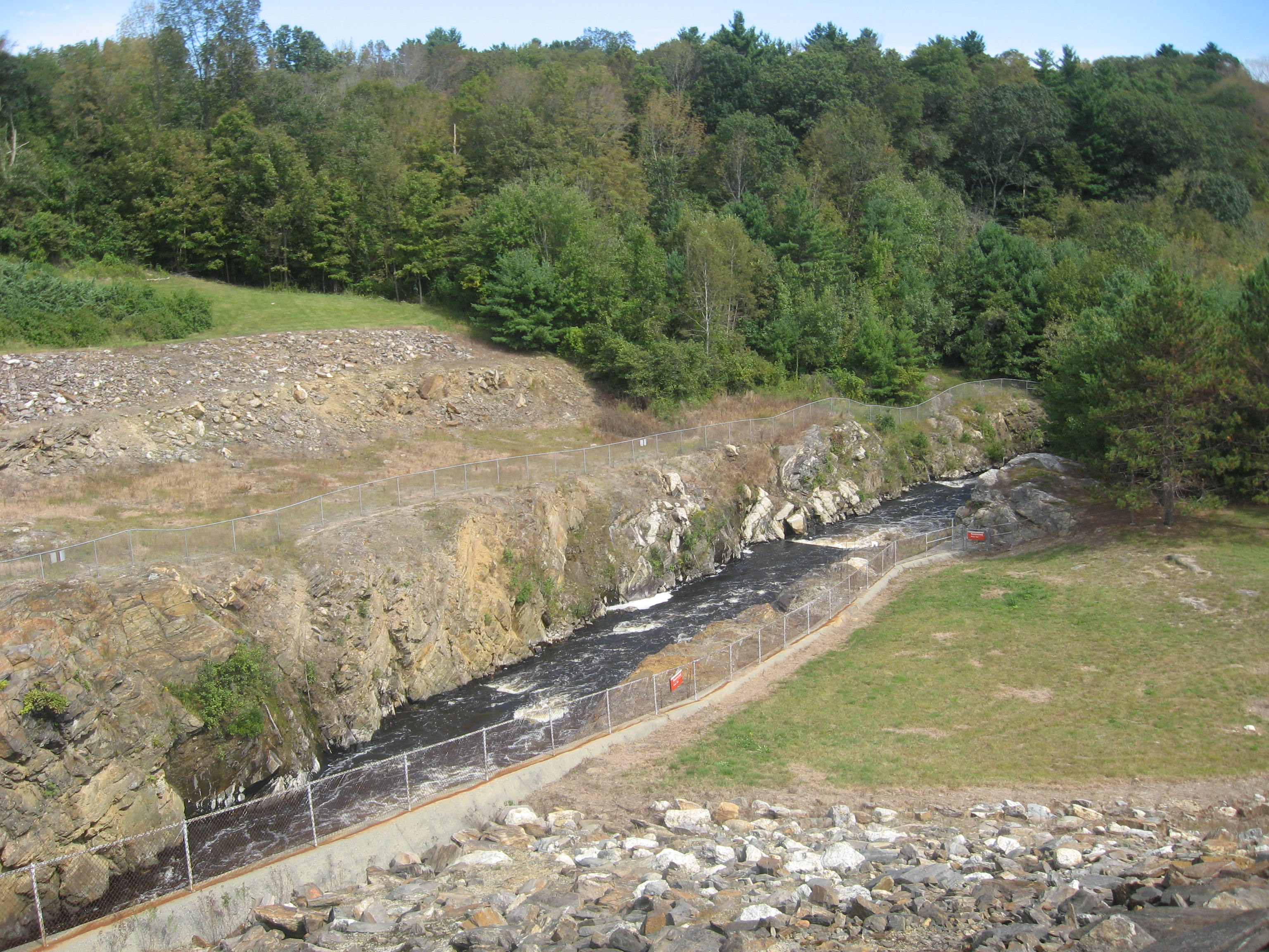
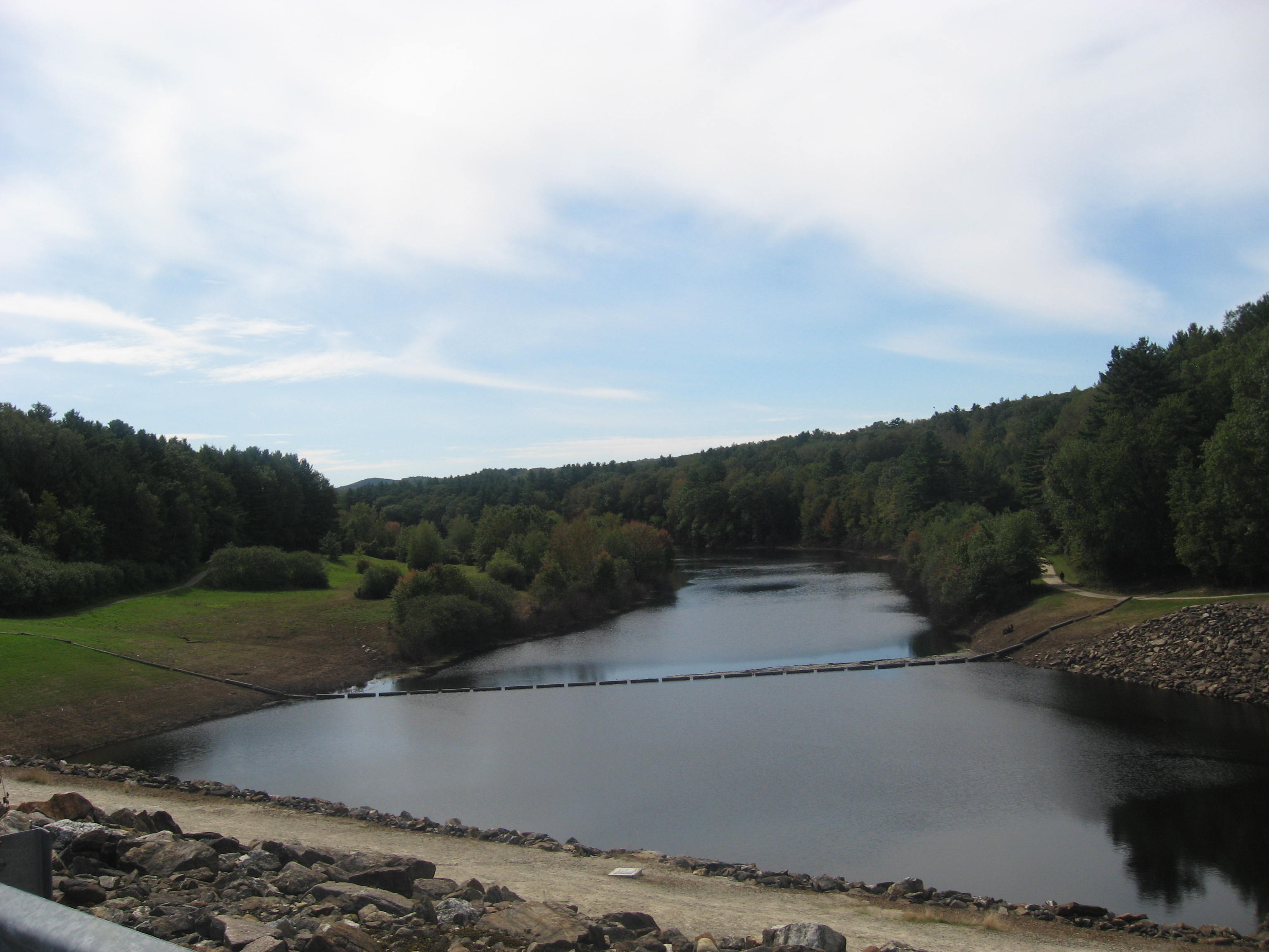
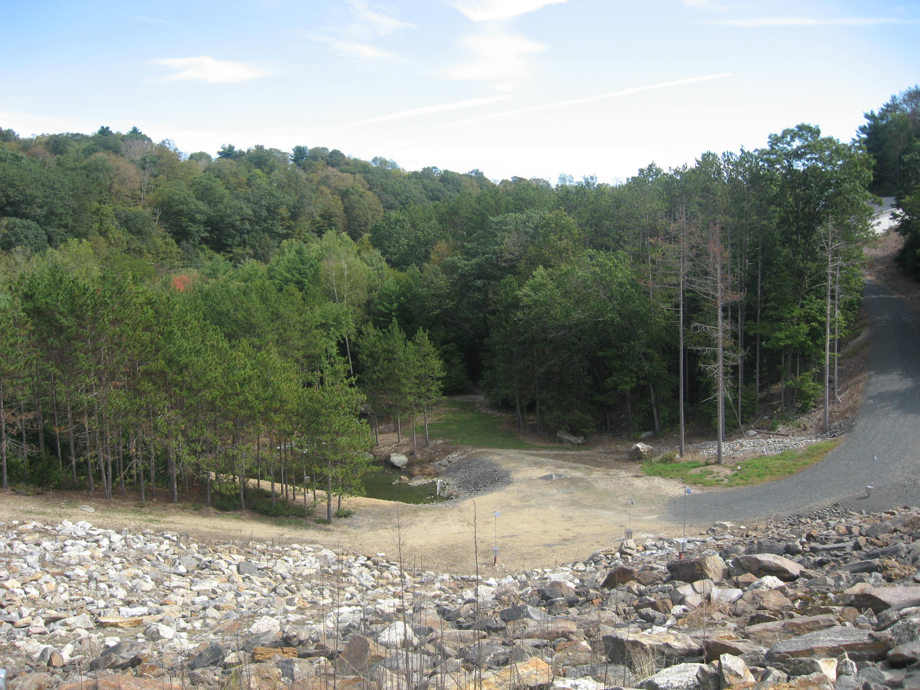
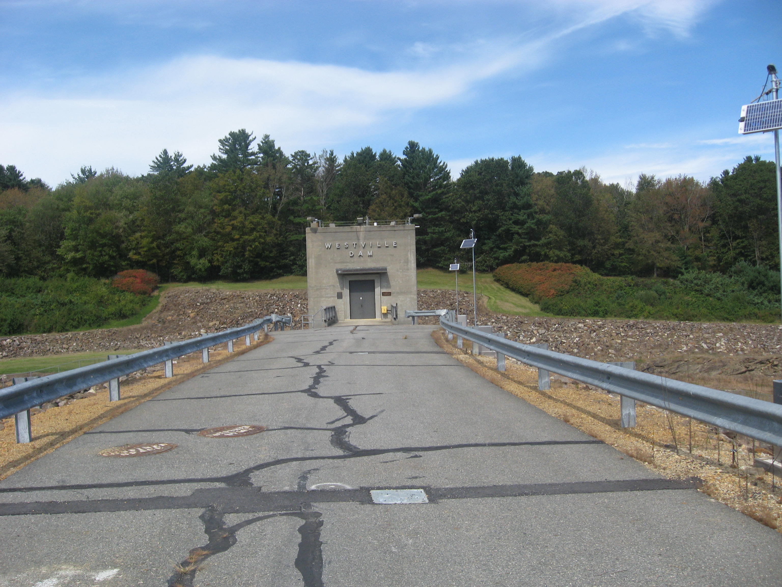
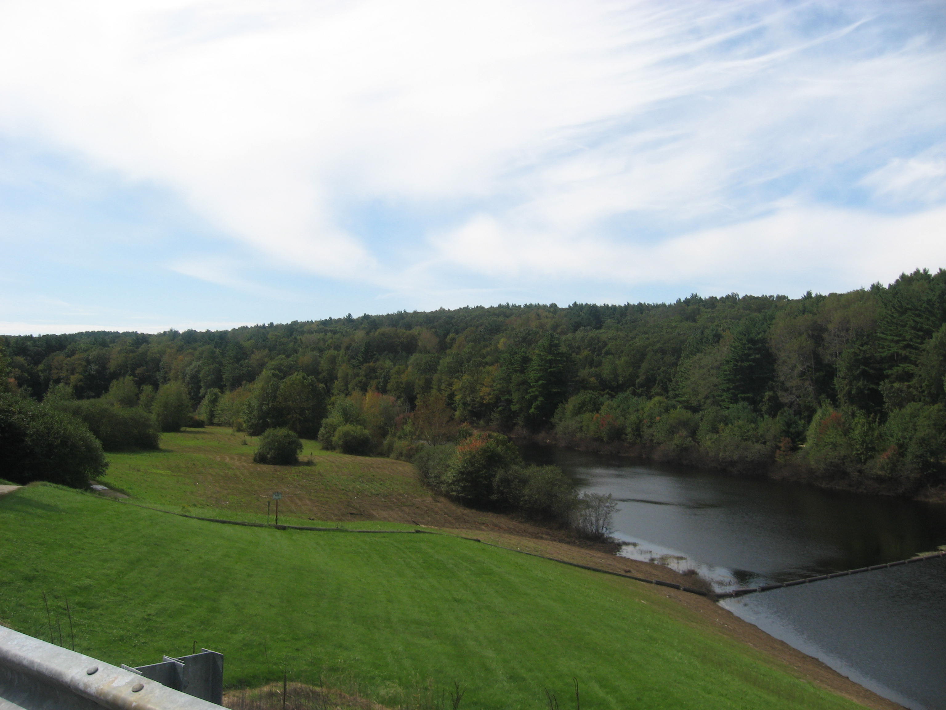
Westville Dam, owned by the US Army Corps of Engineers. Like all the other dams I had been to before, this place had very good views of the surroundings as well. I parked at the end of Marjorie Lane and began my trek on the West Street School Loop Trail from here.
The route I took is highlighted in brown below. The map can be found at
http://ci.southbridge.ma.us/MSWDocs/WestStreetMap.pdf
I first walked around to take pictures around the dam.
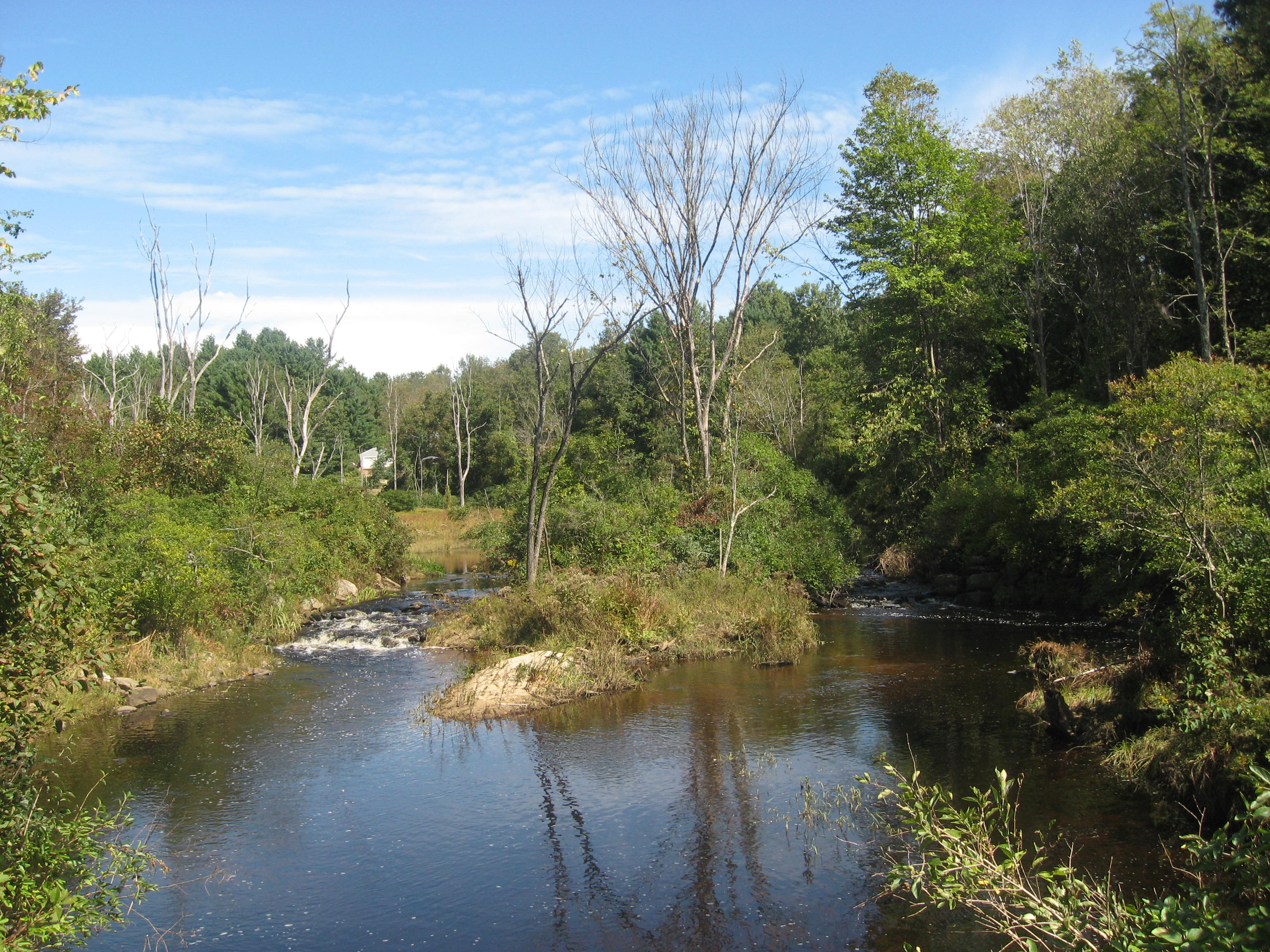
I then decided to walk the trail, following the
Quinebaug River. There are several areas along the river where there are benches to allow people to relax by the river, and there were a few people doing that today.


The walk back through the forest was not as exciting, until I came back onto Marjorie Lane, where I found this furry caterpillar crawling on the road.
 |
| Wooly Bear Caterpillar |
According to my colleague, this was a wooly bear caterpillar. There is a belief that the thinner the middle stripe, the harsher the winter that year will be. Guess it'll be neither here nor there this year.
Done with Southbridge, the town of Sturbridge was next on the list. The first place I visited was the
Old Sturbridge Village. This place is an interesting museum in that it is living and is almost totally outdoors, showing how people in the early 1830s lived here. Maps are provided on entry with a $20 admission fee.
Before entering, I decided to take some pictures outside, and had lunch at the Oliver Wight Tavern.
 |
| Old Cars to ferry visitors around |
 |
| Millstones |

 |
| Oliver Wight Tavern |
 |
| Vegetable Garden |
Inside the visitor center, there was also a little museum inside with some artifacts from the time period, like clocks, candlesticks, fireplace pokers and bellows.


I ventured out into a large open area where there were tons of places to visit, of all sorts of shops, businesses and homes. There were always people present dressed in the garb of the time, corresponding to their occupation as well, be it as a blacksmith or a vegetable farmer. Horse carriages and horse carts are available for carrying people around, and there is also a boat ride on the
Quaboag River which I rode for $3. Some children activities include playing trundle the hoop races. Pictures follow.
 |
| Horse Carriage |
 |
| Goats |
 |
| The Old Sturbridge Village |
 |
| Stables |
 |
| Old meetinghouse/church |
 |
| Children trundling hoops |
 |
| General Merchandise Shop |
 |
| Inside the meetinghouse/church |


 |
| Powderhouse |
 |
| Shoemaker |
 |
| Out in the pasture |
 |
| Farmers at work |
 |
| Cooking outside |
 |
| In the barn |
 |
| The fireplace |
 |
| Cheese making apparatus |
 |
| Cockerel |
 |
| Blacksmith |
 |
| Brooms |
 |
| Hand weaved baskets |
 |
| Road Bridge |
 |
| Horse Cart |
 |
| Grist Mill |
 |
| Sawmill |
 |
| The Quaboag River |
 |
| Inside the bridge |


 |
| Quaboag River Boat Ride |
 |
| Canadian Geese |


 |
| Views of Quaboag River |

 |
| Hanging out the linen to dry |
 |
| The Bank |
I next went to the
Heins Conservation Land. The entrance to the place can be found near 48 Leadmine Road. I had to compare the curves of the road on the GPS in my smartphone with the map provided in order to find the place I chose not to check out the Pond View Loop Trail section on advice from a few hikers I met along the way, and the route I took is highlighted below in pink.
Across the road from the parking lot, I ventured down to the bridge, and turned left at the fork. Continuing along, I did not find much of interest until I entered the farmland at the next junction. Here I walked across the field up the hill, and took several pictures from here.


Other than the views from the pasture, there was nothing much else to see here.
I wanted to head to
Wells State Park for my next hike, but by then it was evening, so I decided to do it tomorrow. Instead, I went to visit a few other places.
 |
Blackington Building,
572 Main Street |
After this, there seemed to still be time, so I decided to visit other towns, namely East Brookfield. On the way, I saw a beautiful sunset scene on Quaboag River along Fiskdale Road between Mill Street and Long Hill Road in Brookfield.

In East Brookfield, I managed to visit a few places before it became too dark.
 |
St. John the Baptist Church,
121 Blaine Road |
After this I decided to have dinner at
Carmella's Italian Kitchen in Brookfield. This is a pretty nice restaurant with decent decor. I decided to try something I never had before: a stromboli. In my opinion, it's just a larger version of a pizza hot pocket, but it was good though.

With that I ended my day, to be continued tomorrow.


No comments:
Post a Comment