


Still lost, I tried to follow the red-marked trail downhill, and somehow ended up at the power lines on the North Trail. The trail passes the power lines at two points, and I took several pictures here.


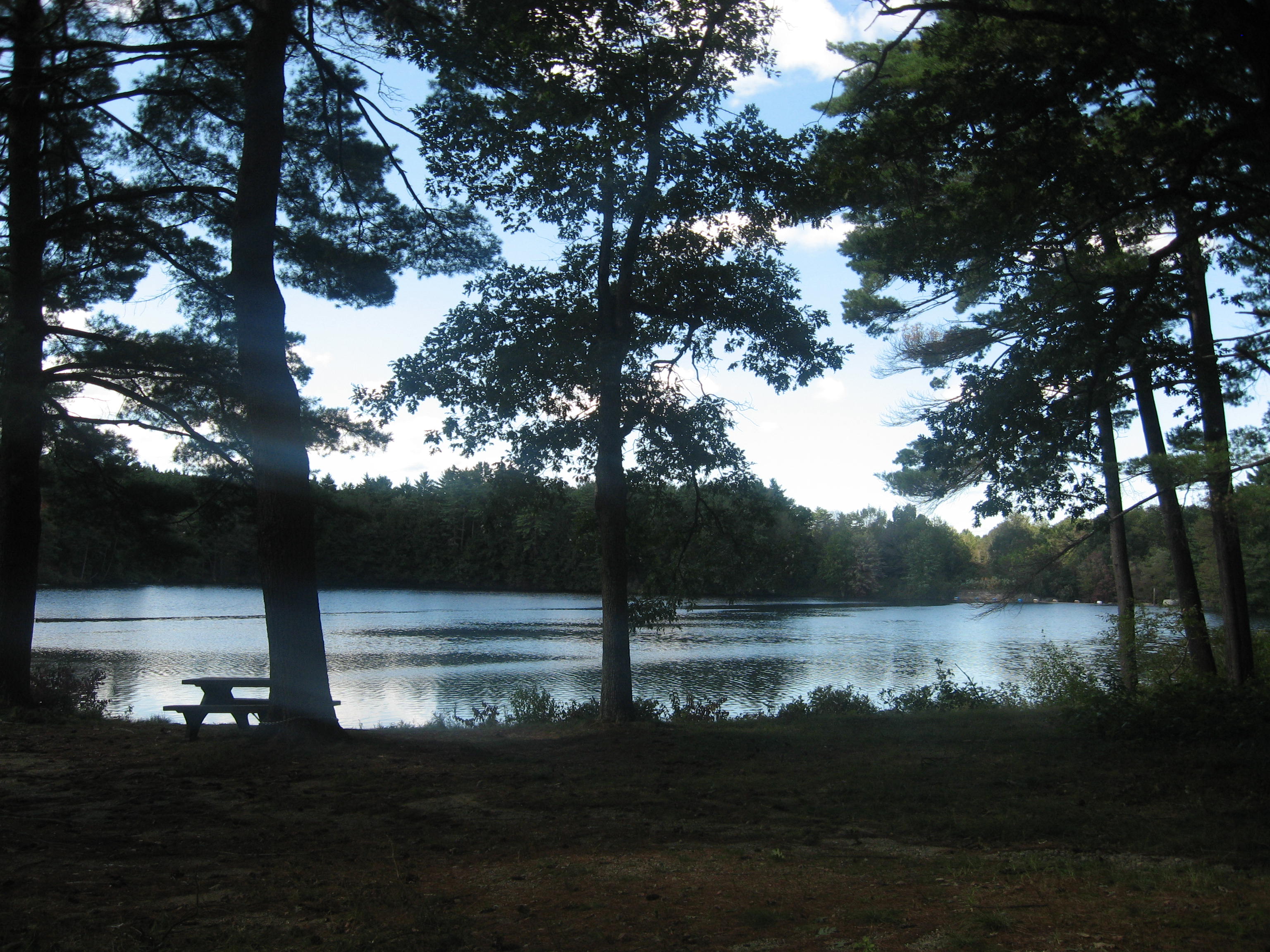
When I finally got back to the main road and realized where I had gone wrong in the first place, I decided to head toward Walker Pond, and found a good view of it.


 |
| North Brookfield Town Hall, decapitated, 167 North Main Street |
 |
| Christ Memorial Episcopal Church |
 |
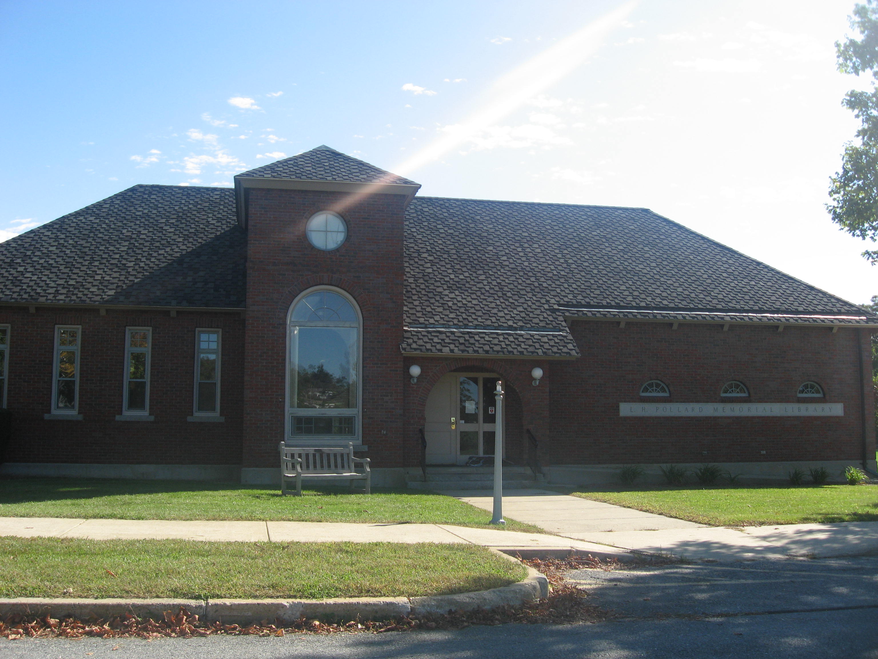
| Haston Public Library |
 |
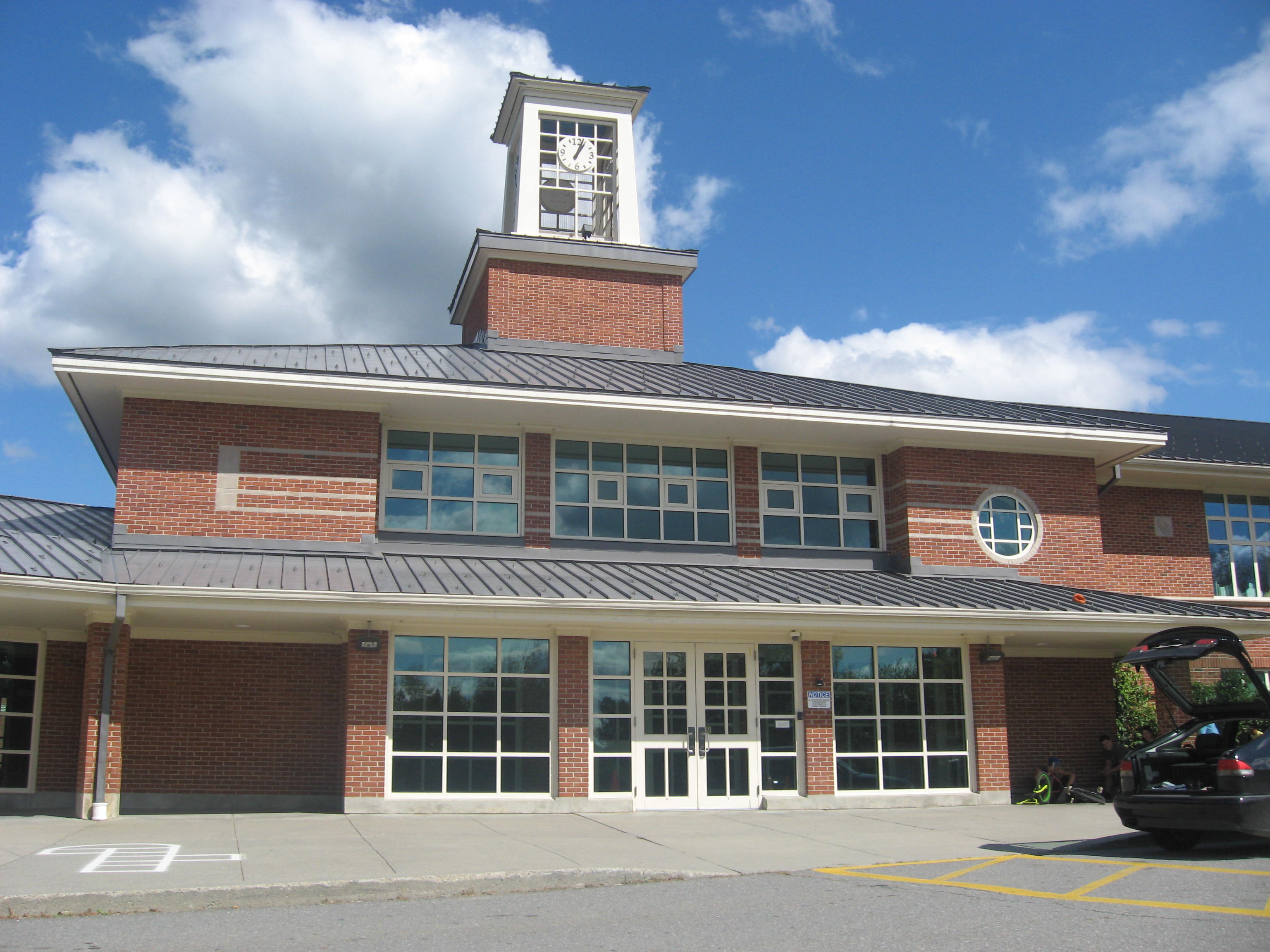
| North Brookfield Junior High School |
 |
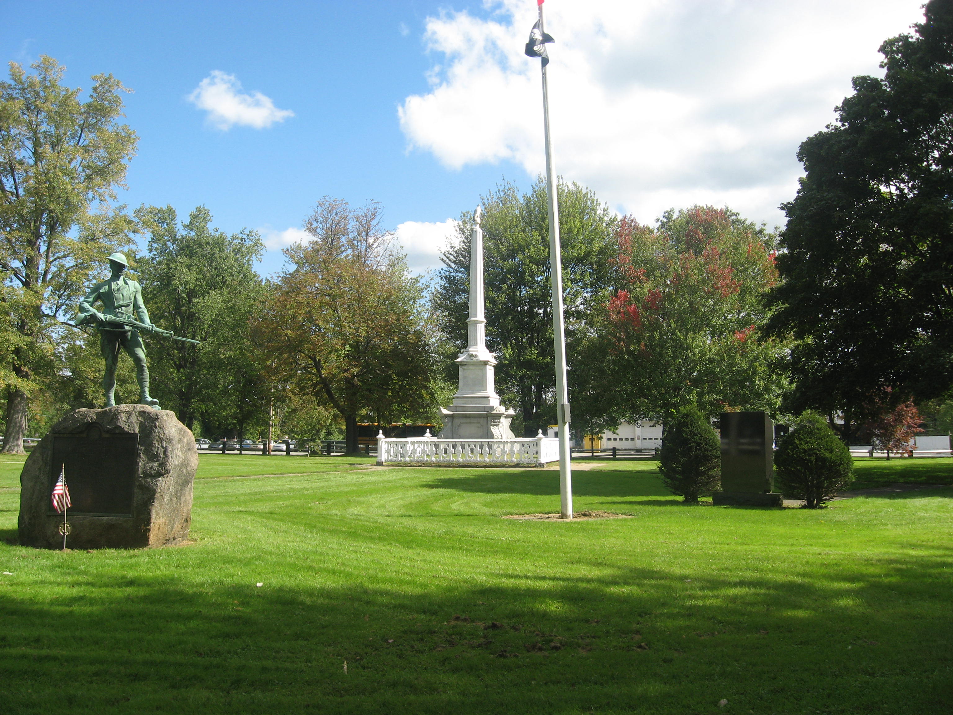
| War memorials outside library |
 |
| St. Joseph Church |
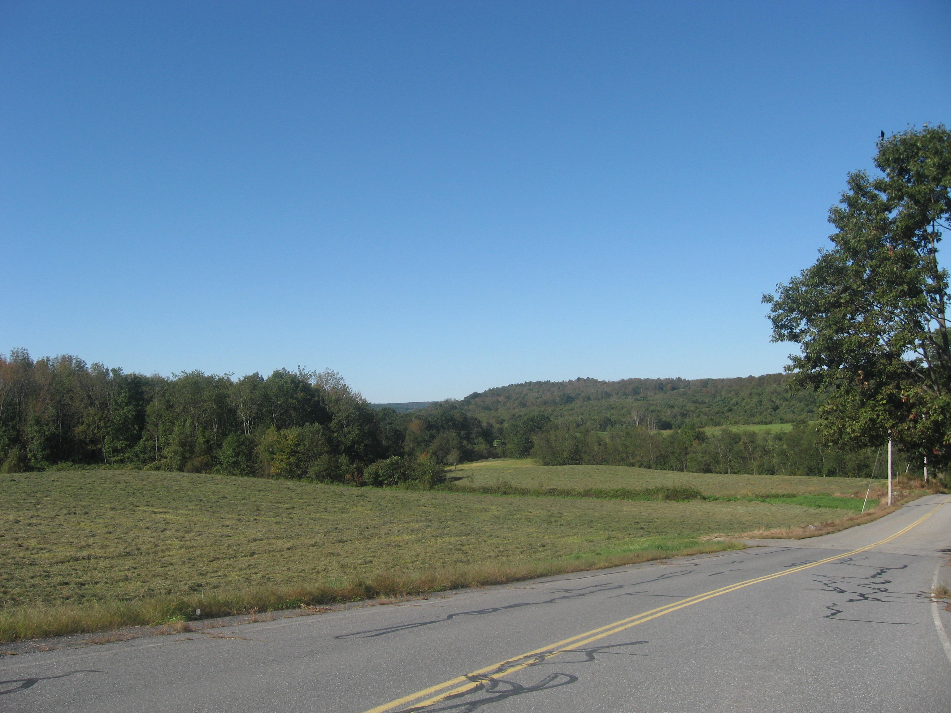
Done with North Brookfield, New Braintree was next. There was not much to see here, although the clear sky today was a beautiful sight to see over the fields, and I took some pictures while driving along the road.
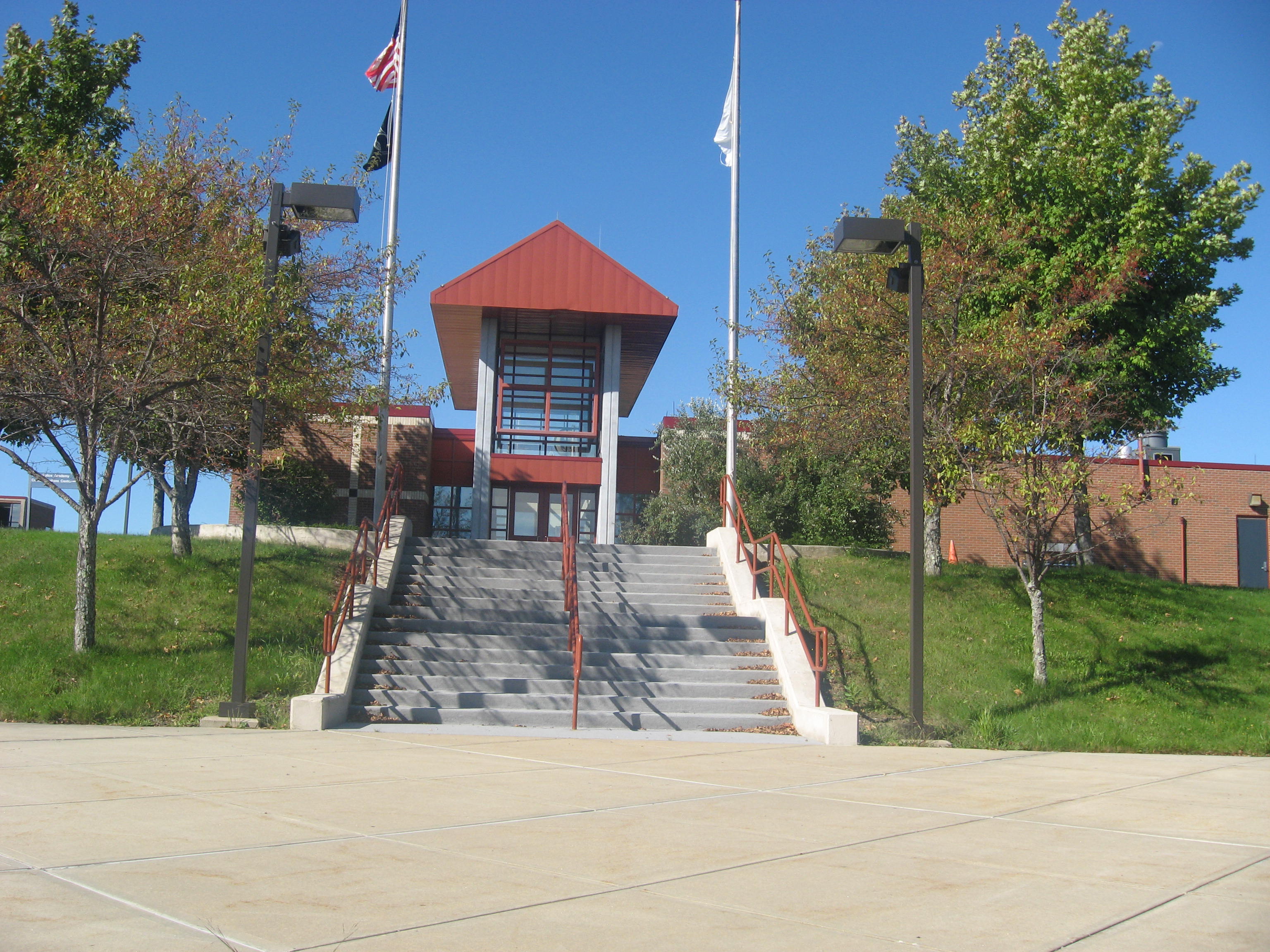
and the Massachusetts State Police Academy.
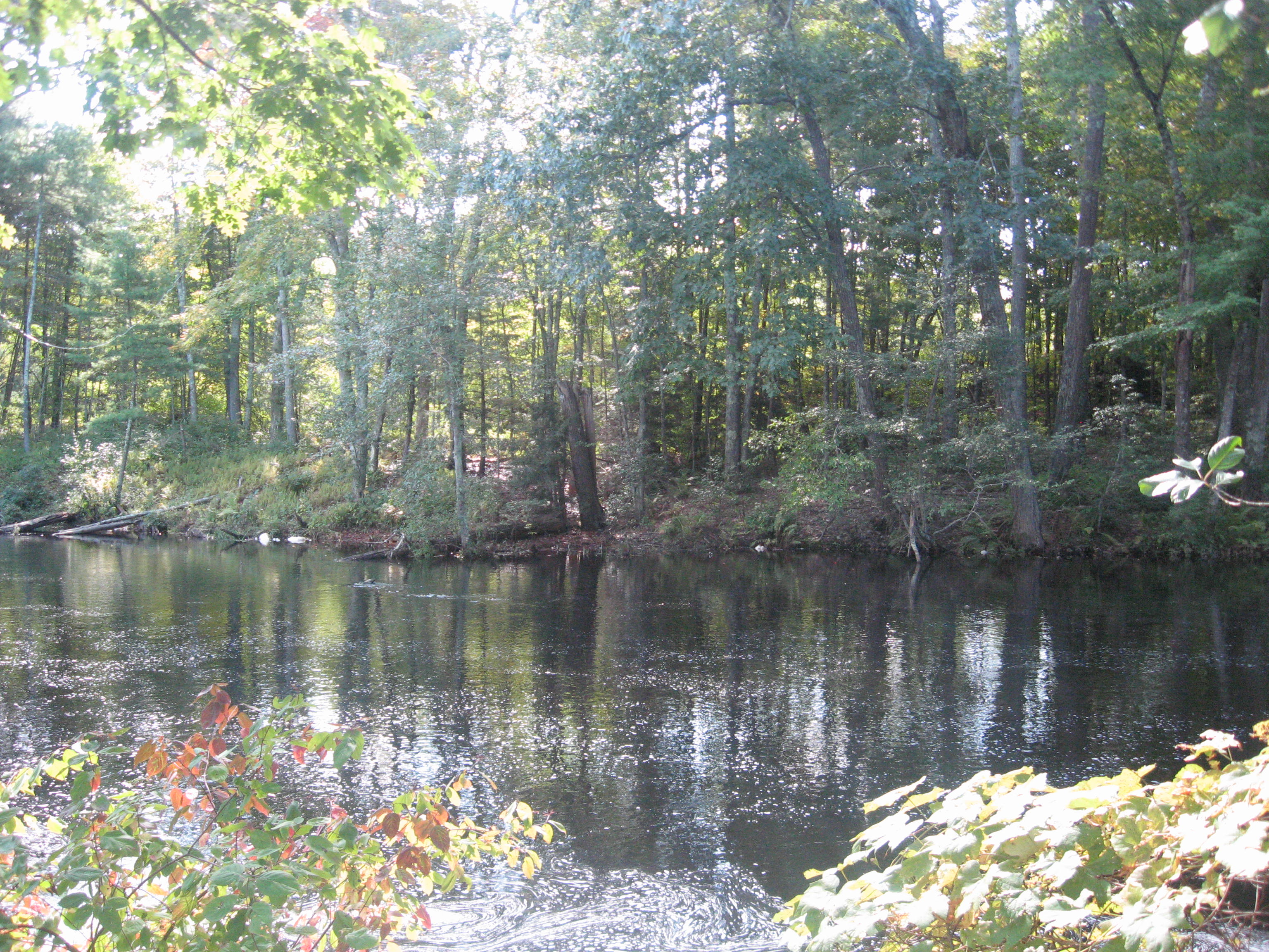


including some of Powder Mill Pond near the junction with New Braintree Road.


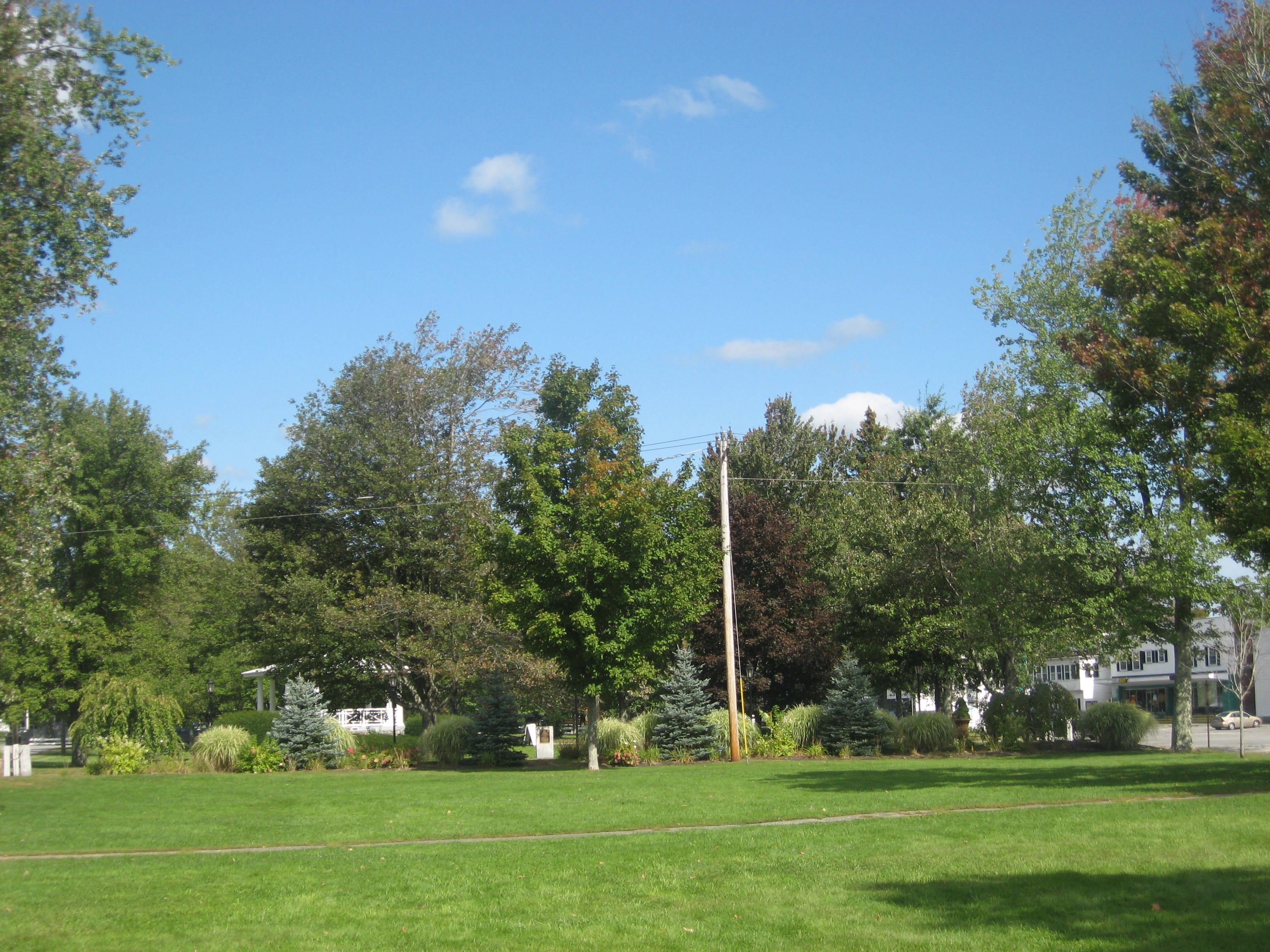
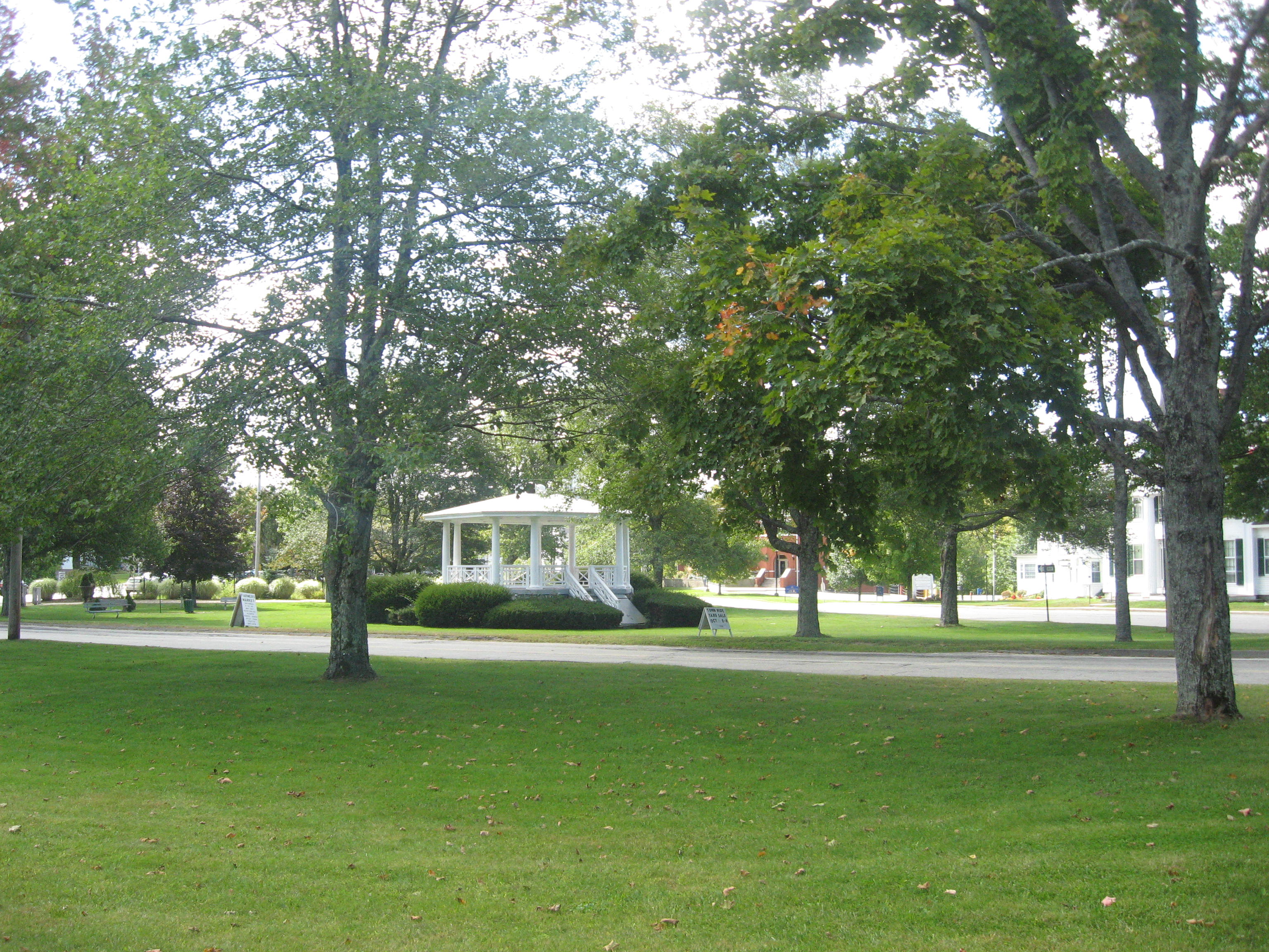
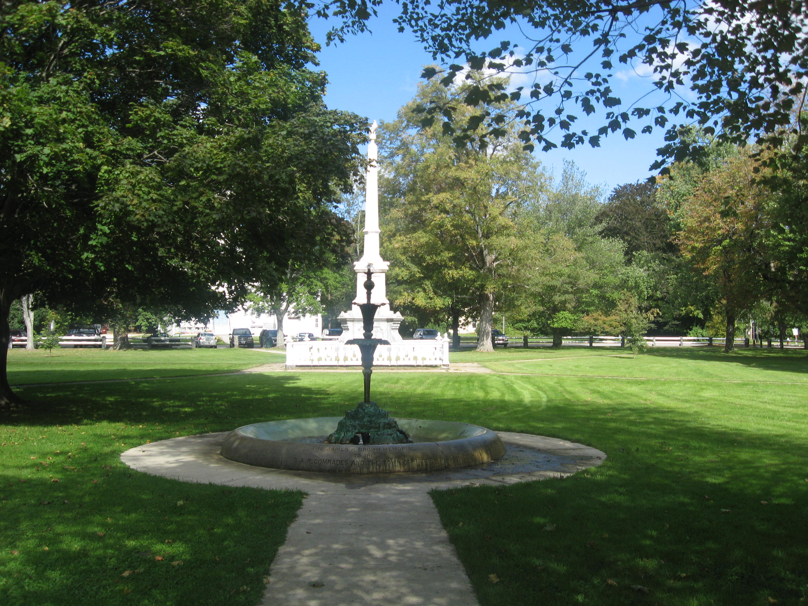
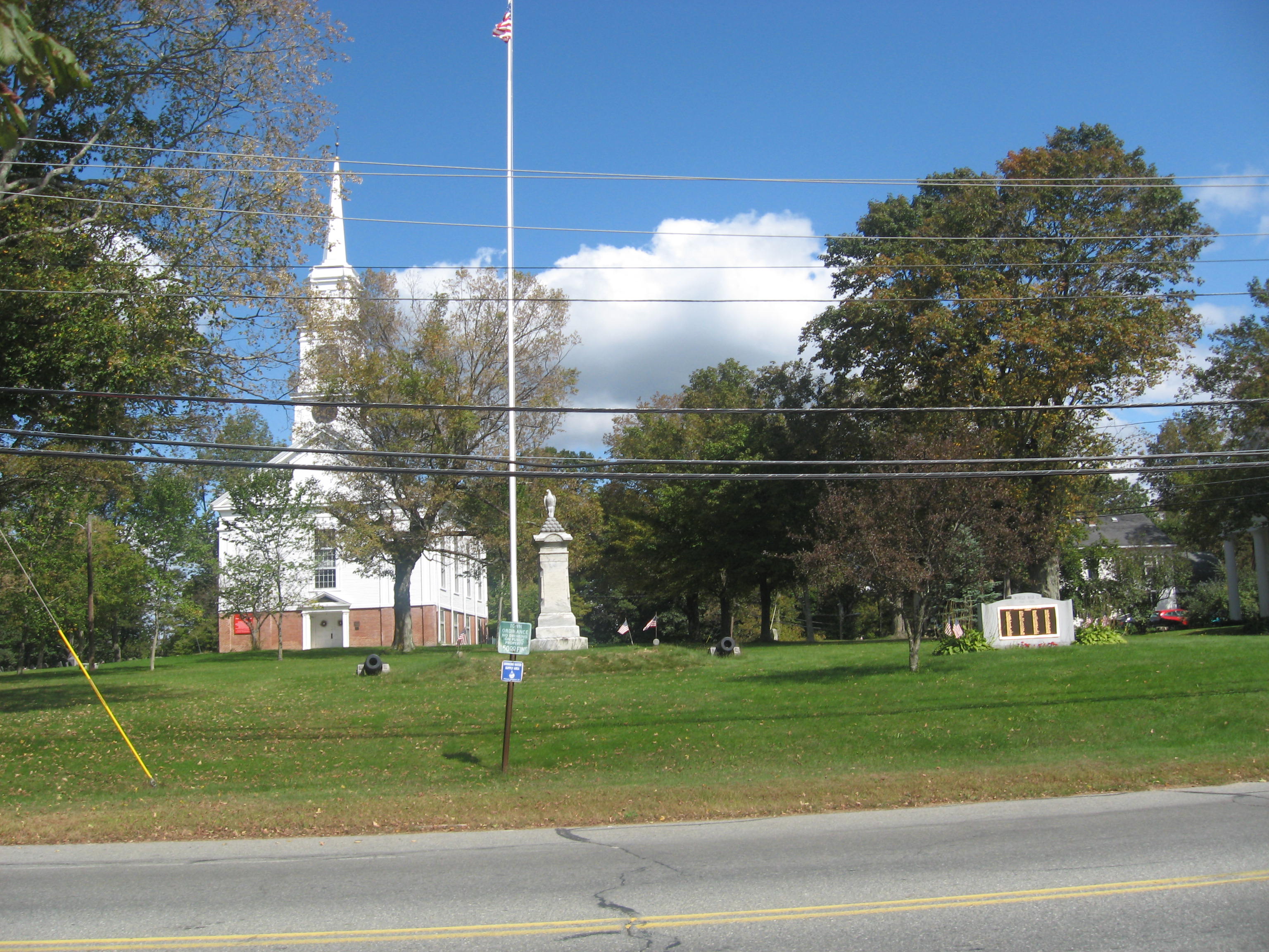
When I entered the town center area, I was overwhelmed from the sudden openness of the area as I drove in. I immediately became unsure on how to drive in the area, because it seemed like there were no traffic signs in the area. Thankfully, there were hardly any vehicles around to crash into. The town common on South Street and Common Street was a beautiful area though, surrounded by several historical buildings.
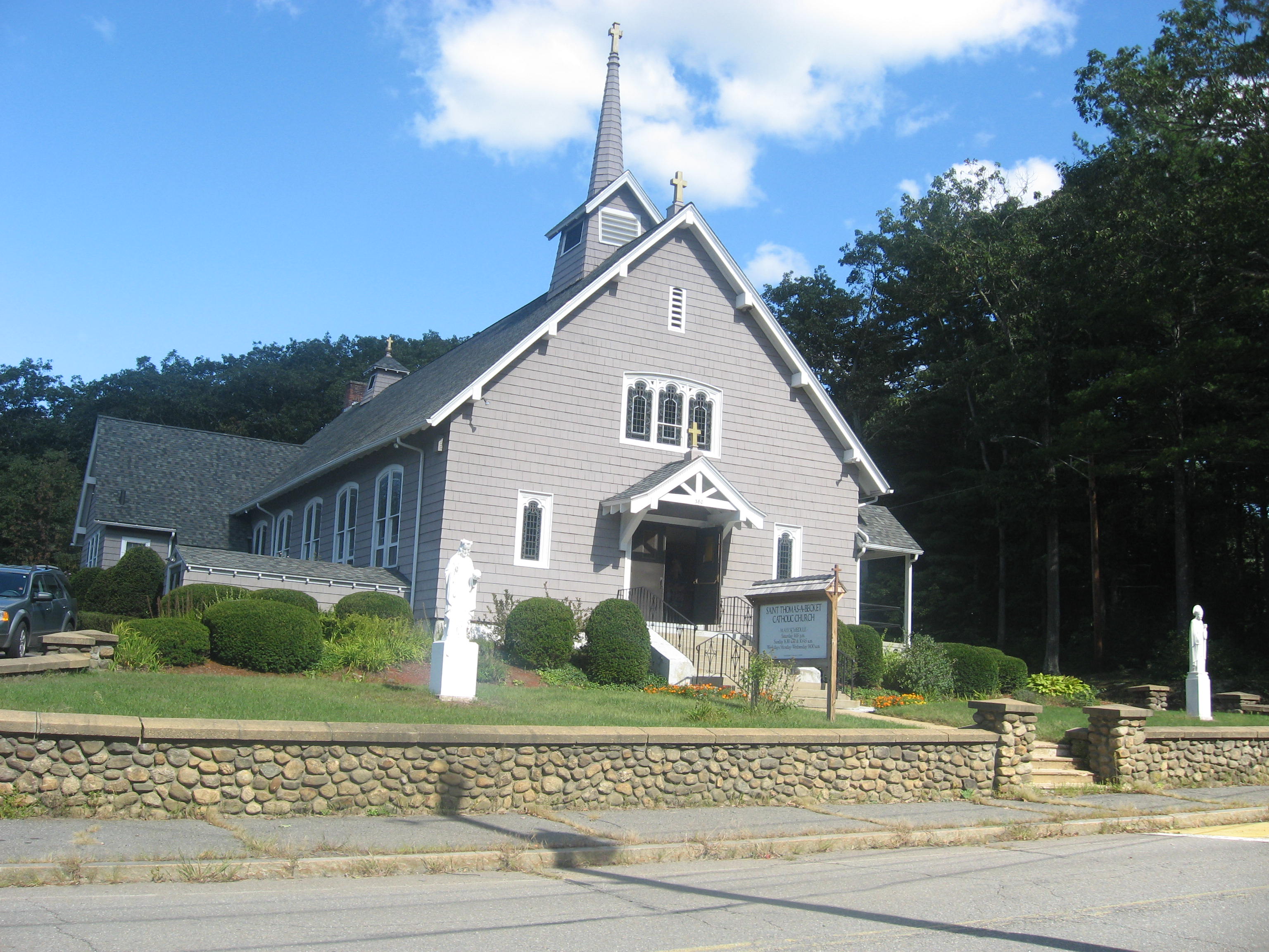 |
| Saint Thomas-a-Becket Parish |
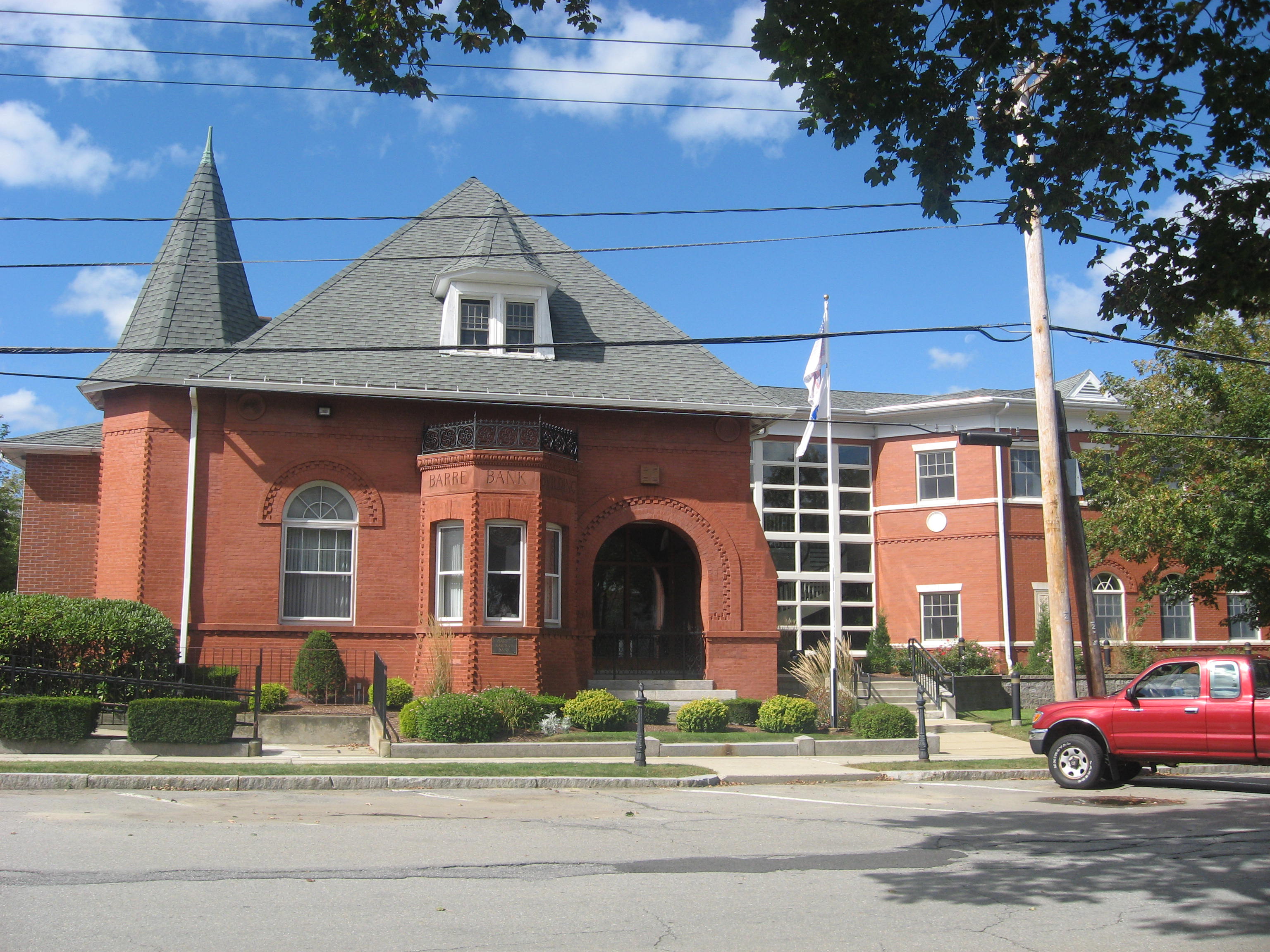 |
| Barre Savings Bank |
 |
Christ Episcopal Church,
499 Vernon Avenue
|
 |
St. Joseph's Church,
29 South Street
|
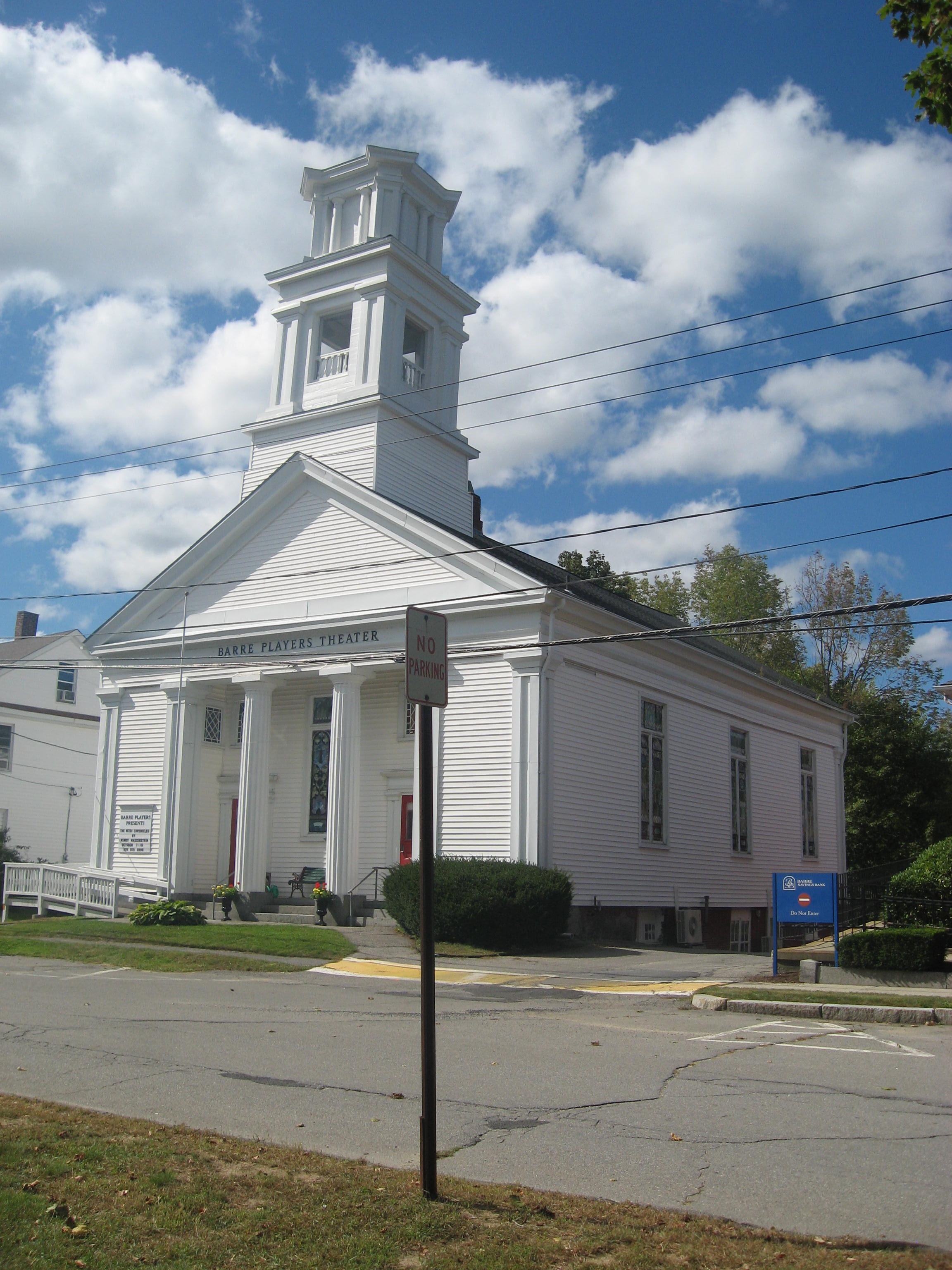 |
| Barre Players Theater |
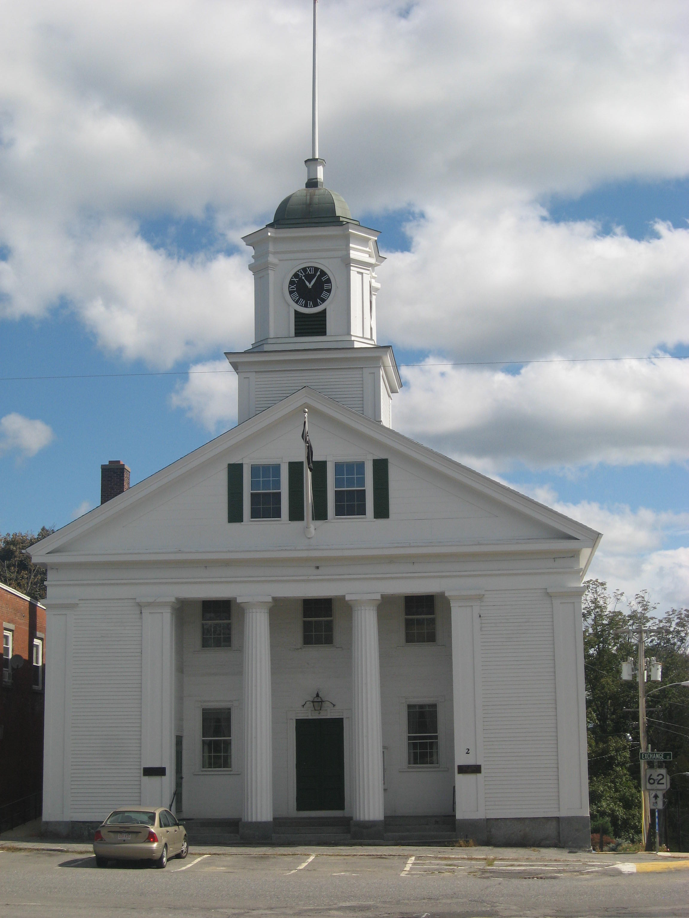 |
Old Barre Town Hall,
Exchange Street and Mechanic Street
|
 |
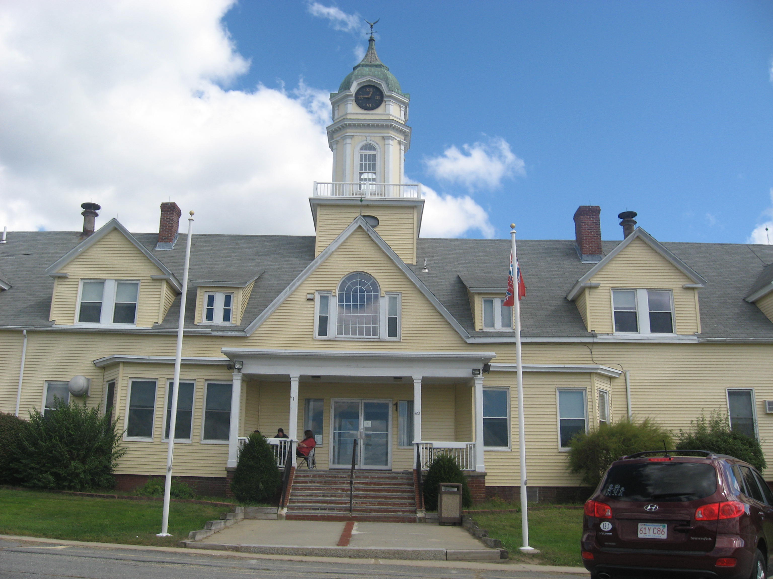
Barre Town Hall,
40 West Street
|
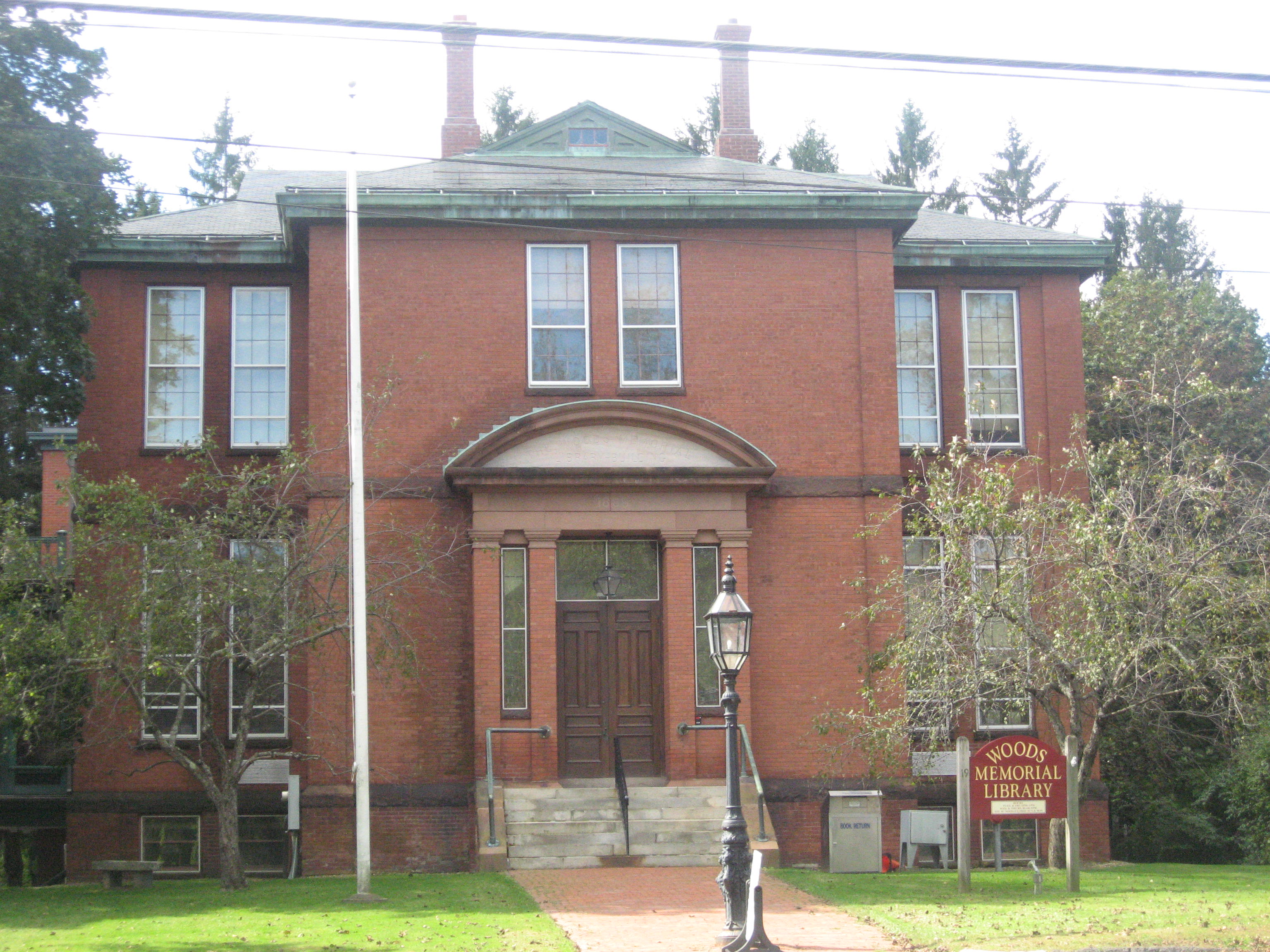 |
| Woods Memorial Library |
 |
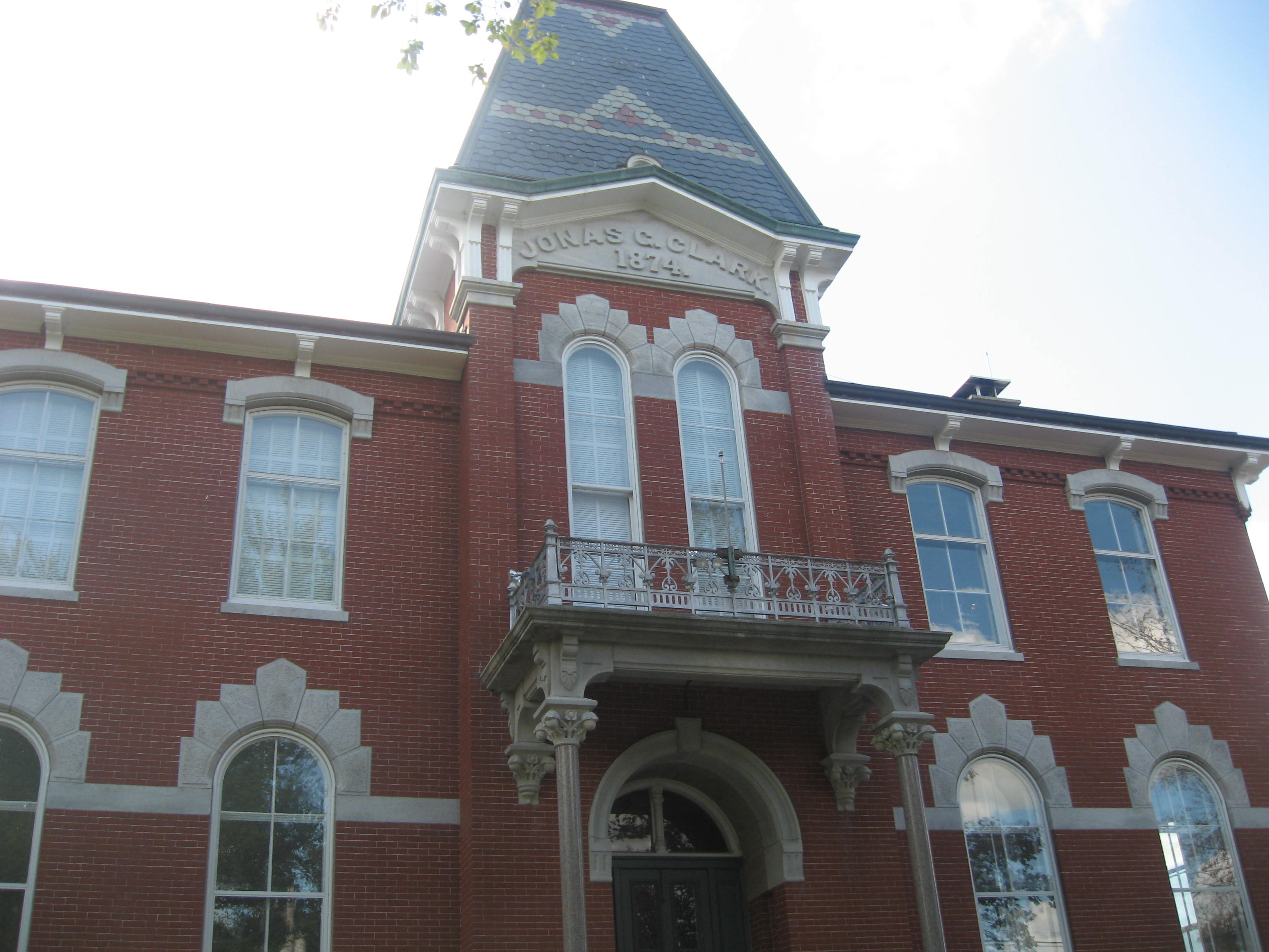
| Stetson School |

From the parking area, I walked along the main trail until I came to a fork, then I took the left path. I continued along Cook's Canyon Trail all the way down to the overlook at the dam. In order to take the good pictures I did, I had to walk along a narrow stone wall to the dam itself.
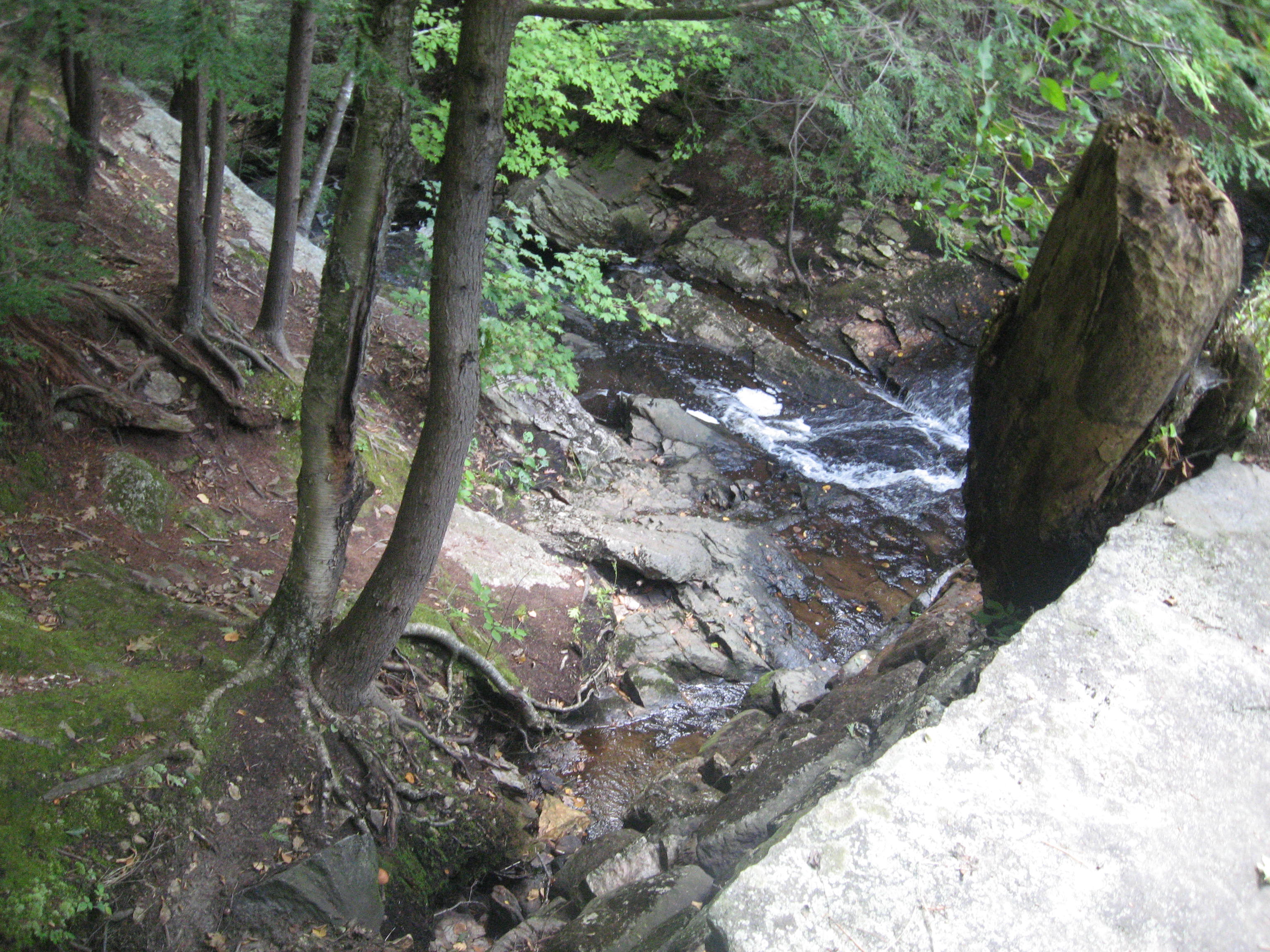

Other than the dam itself, there was nothing much else of note the rest of the way back to the car.
The next place I went to was Barre Falls Dam along Coldbrook Road after Old Boston Turnpike.
The route I took here is highlighted below in pink.

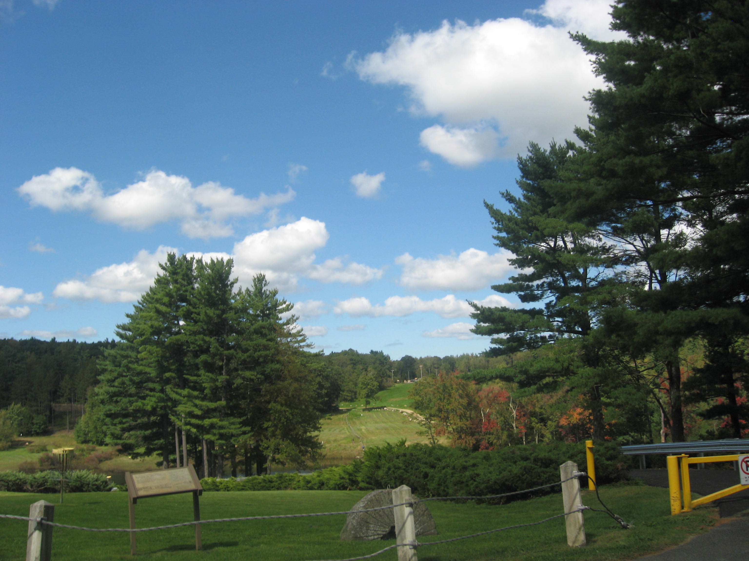
I first parked at the northernmost parking lot to take some pictures of the surroundings at the disc golf course area, where some people were actually playing a disc golf tournament of some sort.
I then drove down to the dam itself, crossed it and parked in the parking area there. The views from the dam itself were excellent.


I was also able to head down to where the water was being released in a rush at the bottom of the dam.


It was time to move on to the town of Hubbardston after a hamburger lunch at the Gardner Ale House in Gardner. After viewing Brigham Pond on Brigham Street and Evergreen Road, and a giant cockerel outside the Country Trail Antiques shop at 45 Gardner Road, I headed to the town common on Main Street and Brigham Street.
 |
| Hubbardston Town Common |
 |
| Brigham Pond |
 |
| Giant Cockerel |
 |
| Hubbardston Center School |
 |
| Hubbardston Public Library |
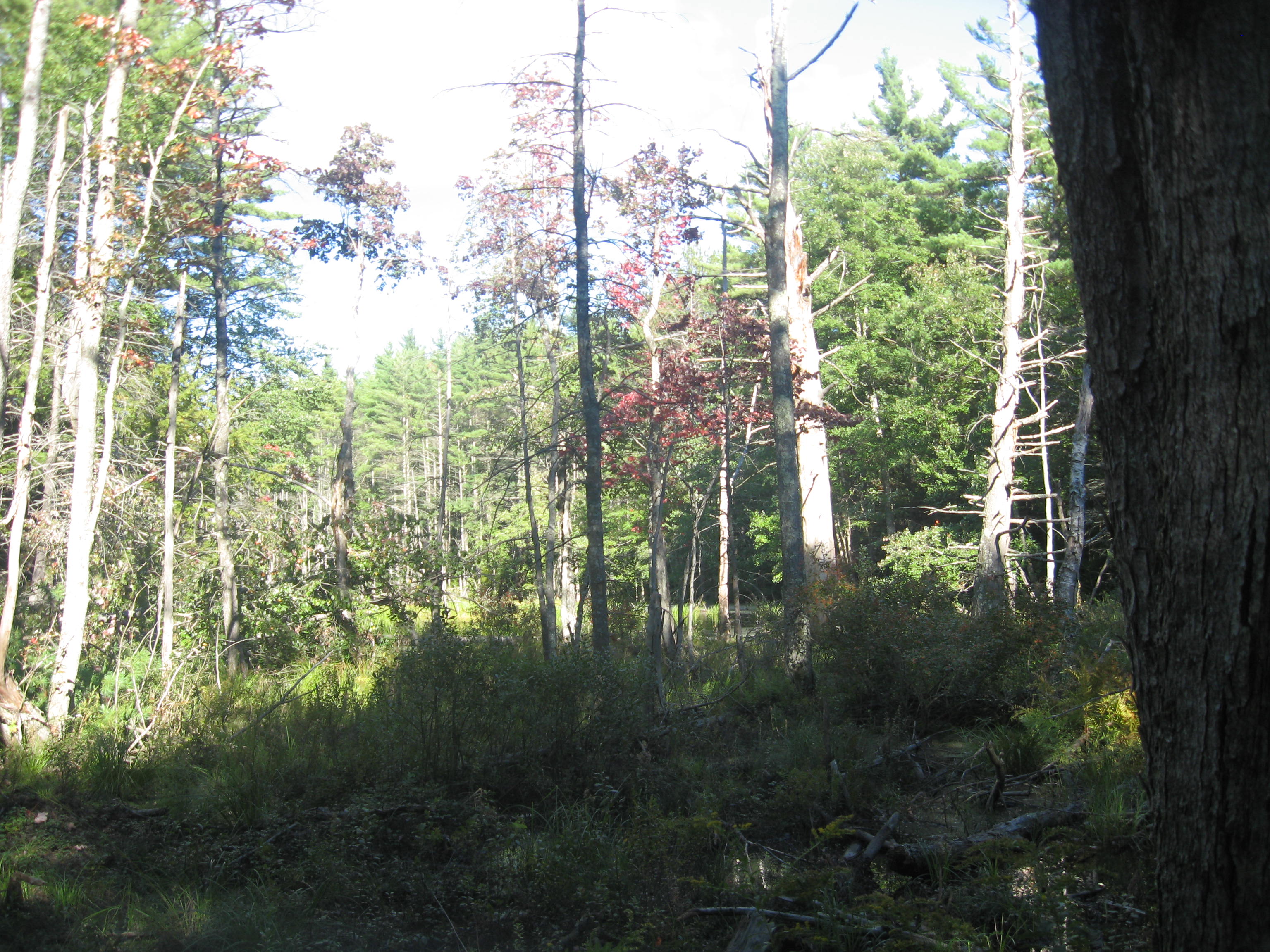
Next, I decided to head to the Mount Jefferson Conservation Area, which contains the Templeton and Hubbardston State forests. I thought that there might be a hill here or something that might have good views because of the name, but as it turns out, the entrance to the area is found on Mount Jefferson Road close to its junction with Malone Road. Highlighted in pink below is the route I took.

Starting from the parking area, I headed up the Behind the Chimney Trail, which eventually connected with the Canesto Brook Trail, onto which I turned right. I followed it all the way to the Mill Pond Trail, onto which I turned right to get back out onto the road. Although the map looks simple, the distance I had to hike was pretty far, and unfortunately, not really interesting.

Back out on the road, I decided to head back to my car instead of trying to find the trail heading into the town of Templeton. However, while walking back, I suddenly noticed this german shepherd from afar walking along the road. It spotted me, started barking at me, and even started running towards me. Luckily, I was still on a gravel road, so I was able to find a suitably sized rock and picked it up in case the dog would come and attack me. Fortunately, however, the dog decided to stop at the boundary between the gravel road and the paved road. I stood my ground, stone in hand, watching it closely to see if it would cross the boundary towards me, but it never did, slinking off into the house next to where it was instead. I decided to proceed cautiously, and as I approached the house in question, I kept it in view, constantly on the lookout for the dog, even walking backwards as I continued past the house, but the dog never reappeared. I was able to reach my car without any further incident, thankfully.
It was still light out, so I decided to head to my next town, Westminster. I decided not to do any trails here today, so there was not much else to see here for the rest of the evening.
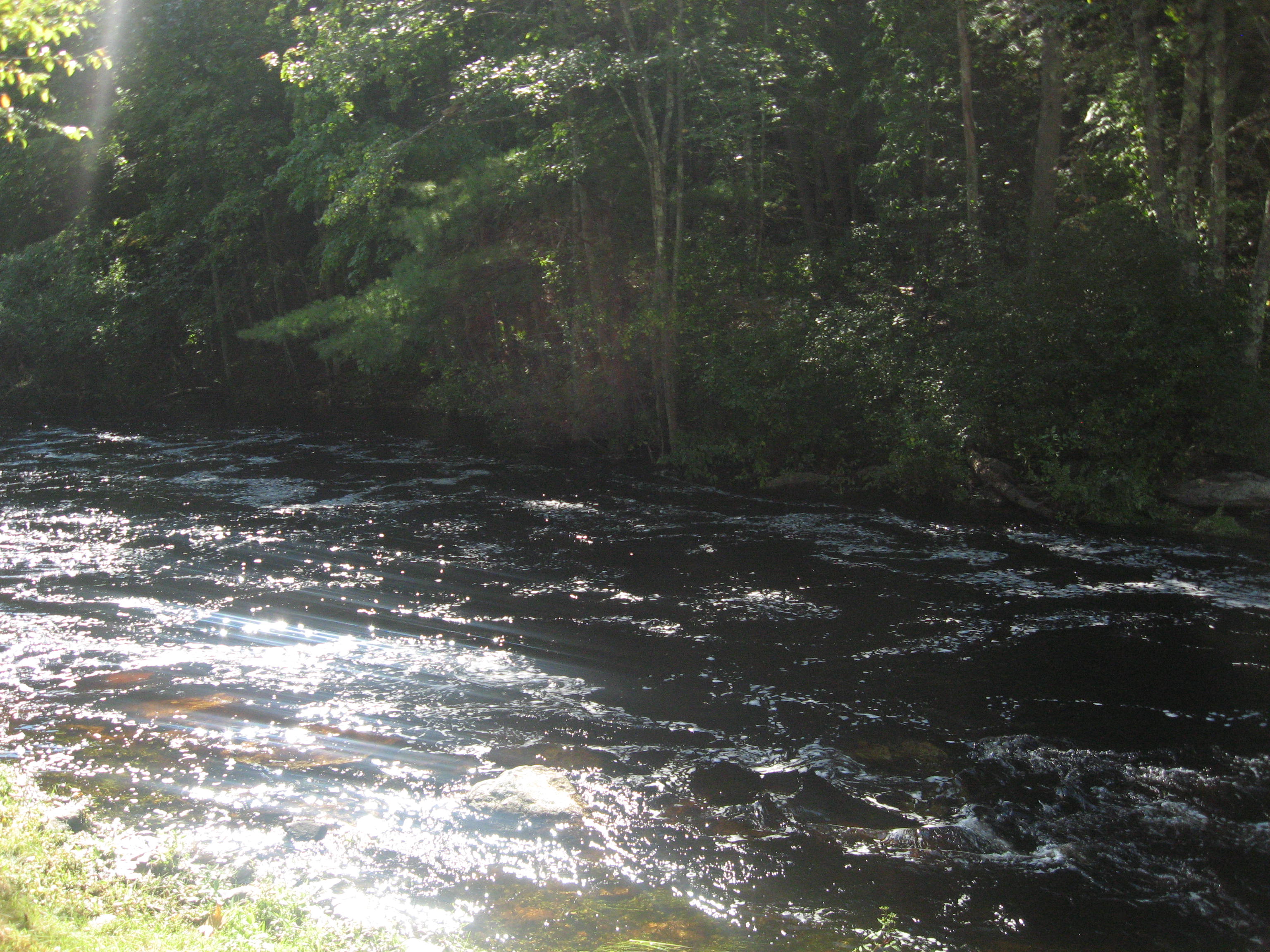
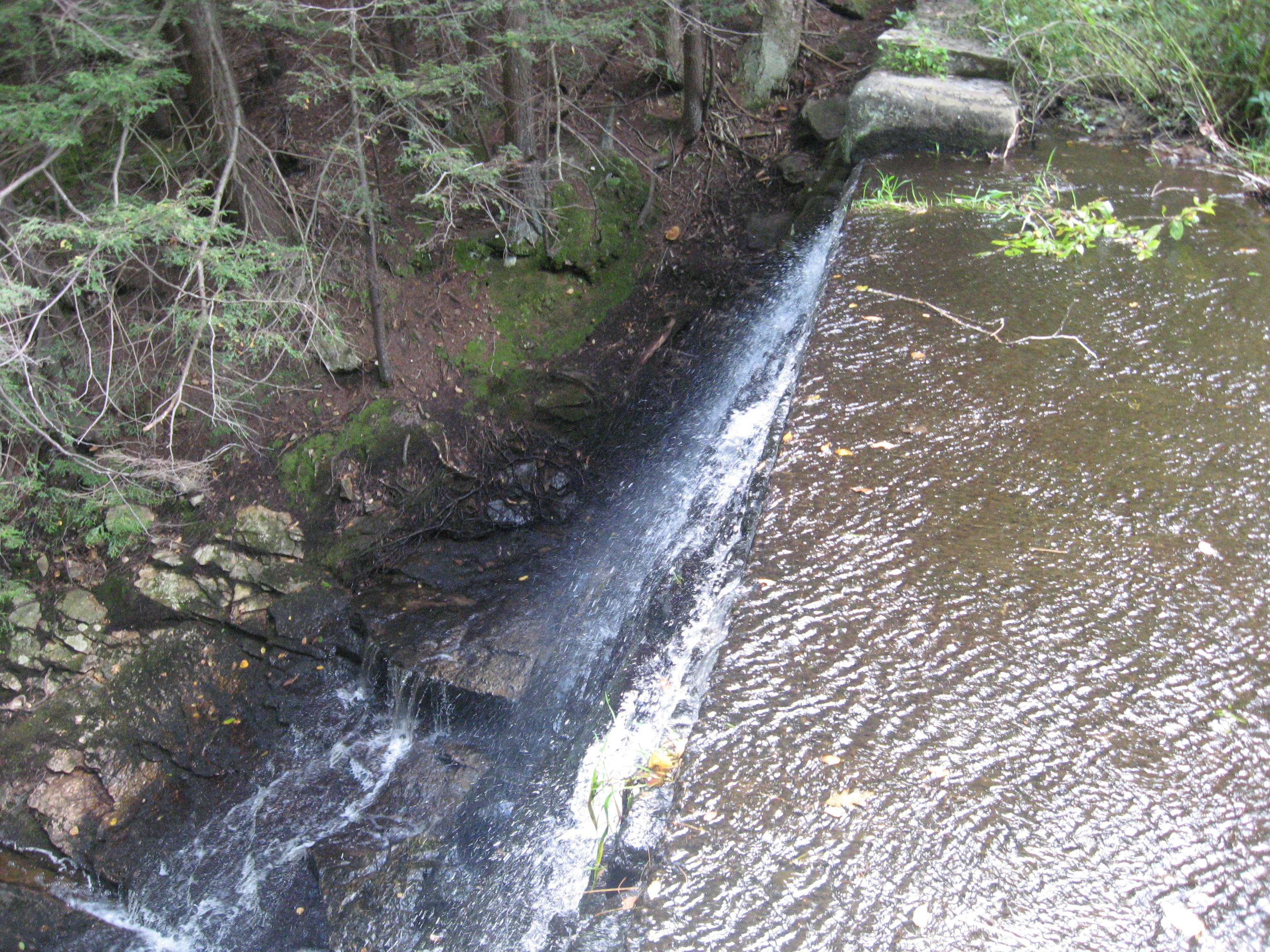
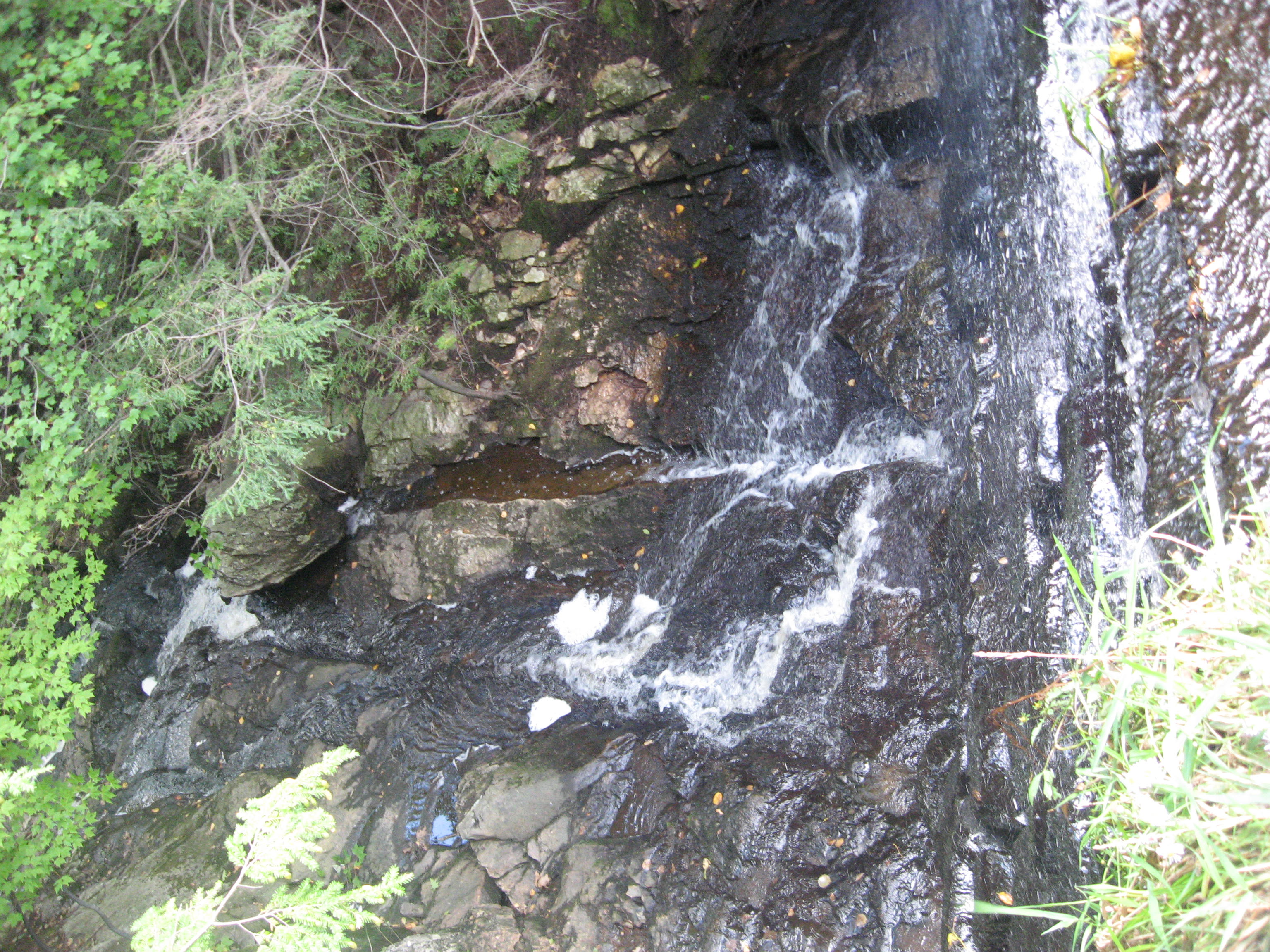
I tried heading to the Crocker Pond Recreational Area at around 112 South Ashburnham Road, but I reached it just as it was closing, and I was told to leave. I caught sight of a beautiful waterfall though, and was determined to head back there someday. With that, my sightseeing for the day was done.
 |
| Forbush Memorial Library |
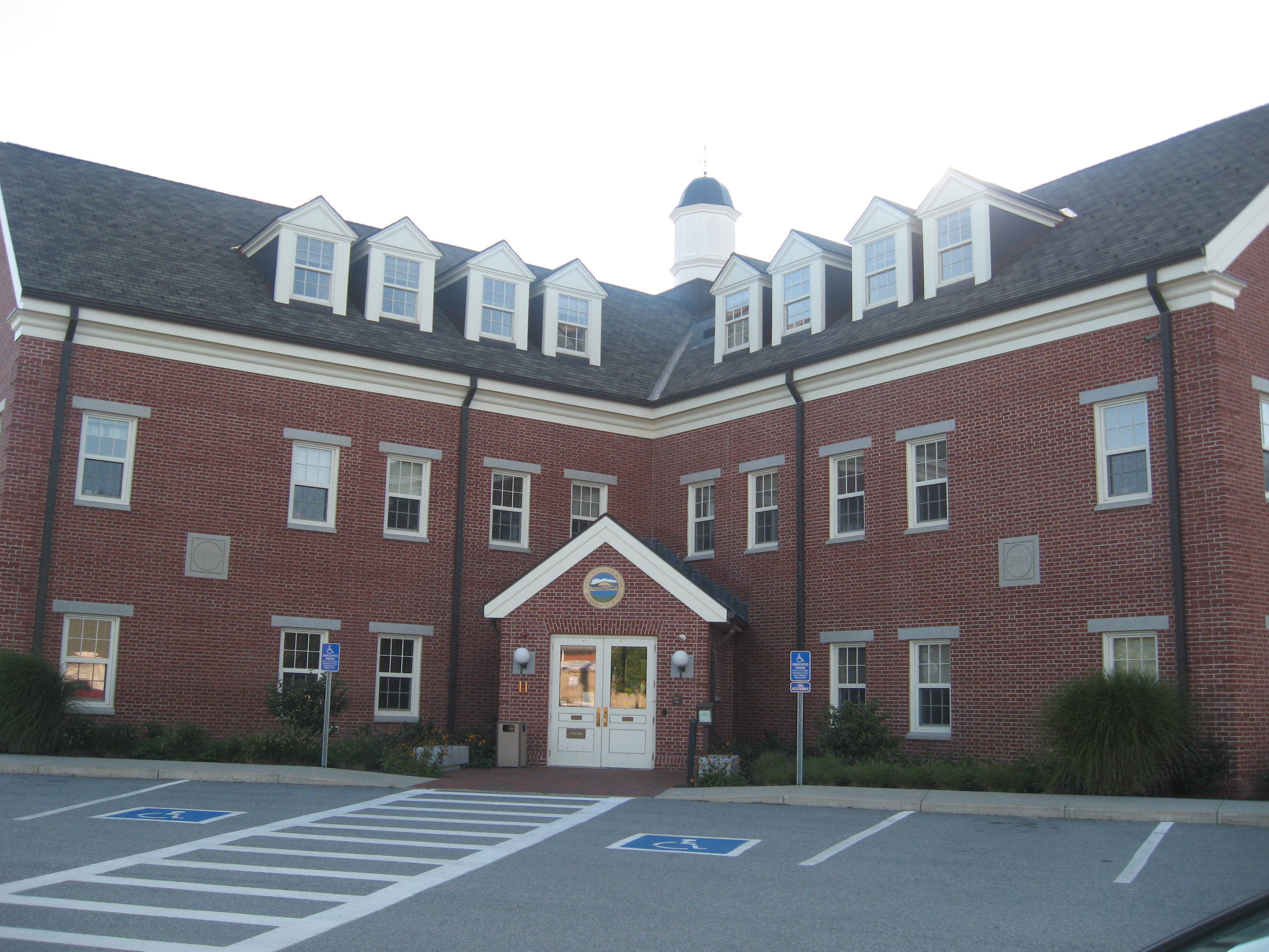 |
Westminster Town Hall,
11 South Street
|
 |
| Wyman Lake, Leino Park Road |
No comments:
Post a Comment